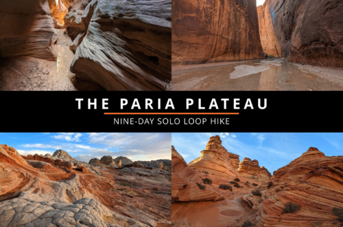
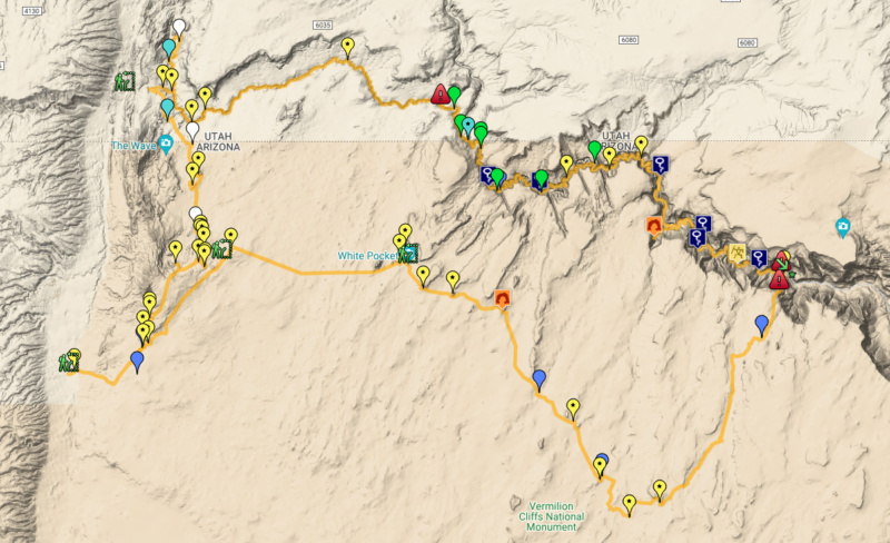
 In April 2022 I did a nine-day loop hike on and around the Paria Plateau. Now that the video series is complete, I wanted to add a written report summary for this hike as well and share some photos and map. This might be a bit more brief than my typical daily journal style reports, but I think it should still provide plenty of detail for those who prefer written content or hope to visit some of these areas.
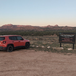
This is a hike I’ve been thinking about for a long time. I didn’t PLAN on doing it this year, but when I realized I’d have some extra time in April I began looking at the permit availability page for Paria Canyon Overnight. Permits can be reserved four months in advanced and typically sell out fast for the prime seasons (spring/fall). However, I’ve noticed that if one keeps an eye on the page occasionally permits become available presumably due to cancellations (especially slots for 1 or 2 people.) The quota for the system is solely based on group size and entry date, thus if a permit becomes available one can grab it and then decide which trailhead to begin at and how many days to spend in the canyon (ie the new permit is not dependent on the cancelled permit’s details.) Luckily… one single permit became available for April 3rd and I grabbed it. Then I began hoping to find a Coyote Buttes South permit the same way and as luck would have it… a week before my trip one spot opened up for April 2 — perfect! I was hoping to find one for the end of my trip for after my White Pocket visit, but this would still work and I’d just begin at Lone Tree near Coyote Buttes South instead of Wire Pass as originally planned. In hindsight, this probably worked out better as it allowed me to put a small cache near Wire Pass so I didn’t have to worry about carrying too much on the first two days. I’d hoped for the trifecta and to also get a permit for Coyote Buttes North (including The Wave) through the newly launched “Day Before” geofence lottery process — but that didn’t happen. Though the odds for this are MUCH better than the advanced online lottery, it’s still a longshot coming in at about 1 in 30. I wasn’t lucky this time for that, but still had an amazing journey on this trek.
DAY 1
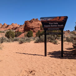
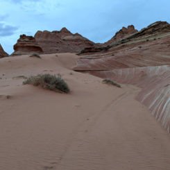
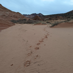
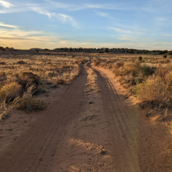
The walk up to Paw Hole was fairly uneventful along the VERY sandy road.
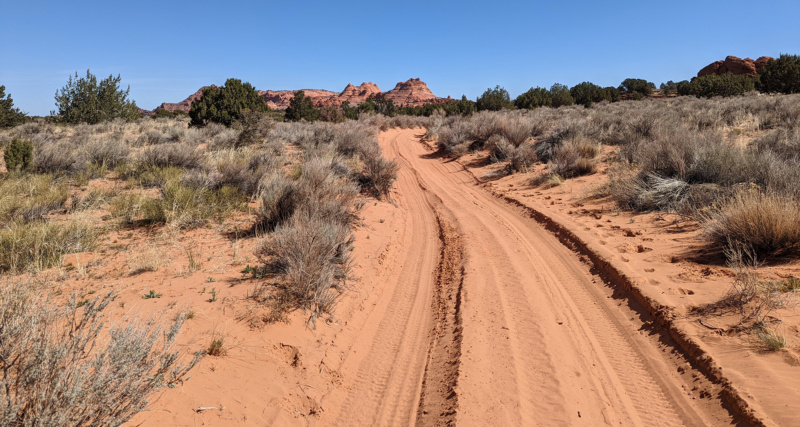
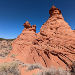
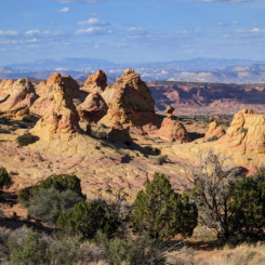
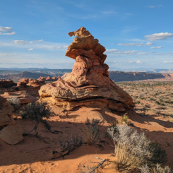
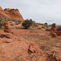
The waterhole at Paw Hole was dry, but I somewhat expected that and didn’t plan on refilling here (or even until my cache if needed.) The Paw Hole area has some interesting buttes. Some of the cool stuff is actually outside the permit boundary, but it’s somewhat confusing as the signage in the area is incorrect (one sign even states a permit for Coyote Buttes NORTH is required!) Using a GPS with built in map shows the true boundary — not that it impacted me on this day as I was legal with my permit. I continued through the buttes and toward the “West Side” of the permit area.
NOTE: I’ll use place names in quotes whenever those names are unofficial, but somewhat adopted by the online community.
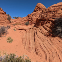
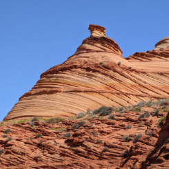
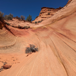
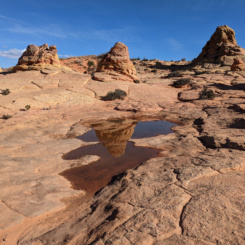
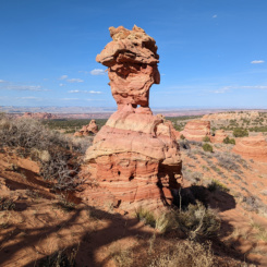
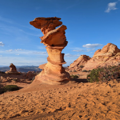
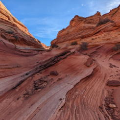
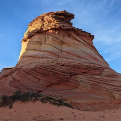
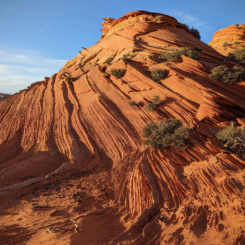
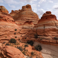
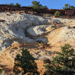
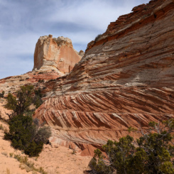
The western edge of Coyote Buttes South includes some cool features known as “Sunset Butte” and “The Alcove” and plenty of other twisted and interesting formations.
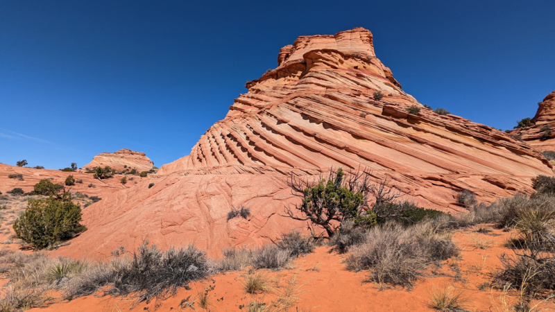
The area is unique in that it’s the only part of Coyote Buttes with interesting sandstone on the western side of the hills. This makes for some great late-day photography, but unfortunately I was there late morning (but it was still pretty nice.) This is also probably the most remote part of Coyote Buttes South, so it’s quite possible one won’t see anyone else while exploring this area.
AREA GALLERY:
After exploring the area for a bit, I continued on over the hills and eventually to the high point overlooking Cottonwood Cove to the east and expansive views of the Grand Staircase to the north.
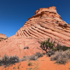
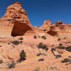
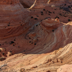
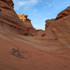
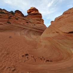
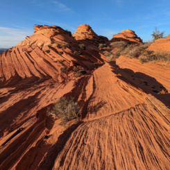
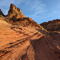
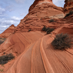
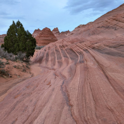
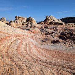
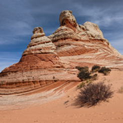
As I headed toward Cottonwood Cove I stopped by two other interesting locations sometimes referred to as “Rainbow Cove” and “Chocolate Swirl”. Instead of descending into the valley, I stayed up high on the ridge and continued east. As I neared the Cottonwood Cove area the landscape became more colorful with crazy geology everywhere in the form of hoodoos, colored patterns, and wavy striations. I would frequently drop my bag and do small loops through the landscape and then continue with my bag a short distance and then do it all again etc. etc..
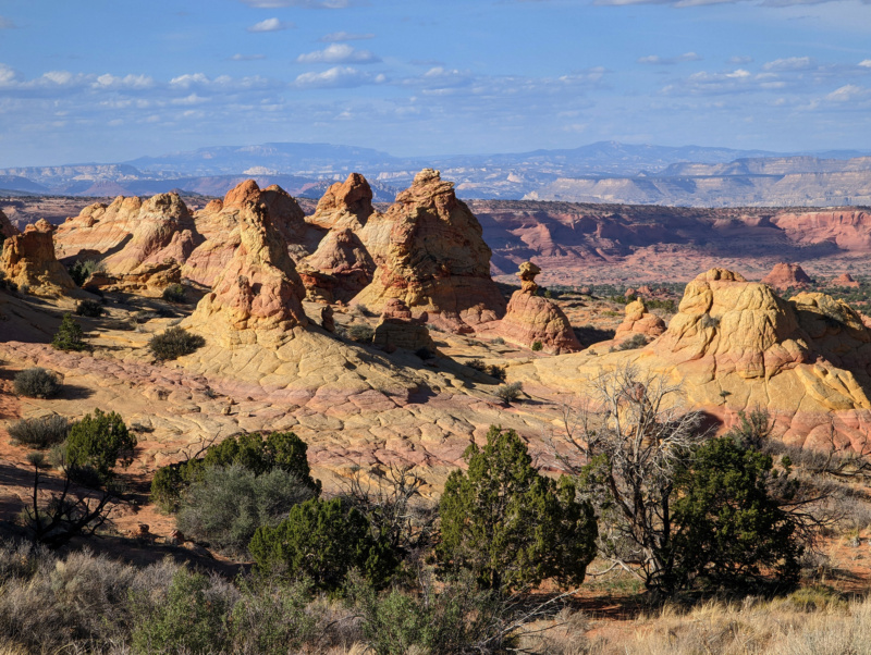
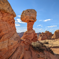
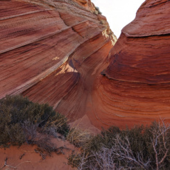
There are many great features in this area and thus it’s probably the most popular part of Coyote Buttes South. But even as such I only saw two other solo hikers while I was there. However, by now it was late in the day, so it’s likely most of the day hikers were gone. Situated on the east side of the hills, this area is likely best photographed in the early part of the day — however, many features get good evening sun as well. The highlights of the area for me were probably “Southern Wave”, “Half and Half”, “Control Tower”, and “World Cup”.
COTTONWOOD COVE AREA GALLERY:
- “Rainbow Cove”
- “Chocolate Swirl”
- Coyote Buttes South | Paria Plateau Loop Hike ⮞⮞⮞
- Coyote Buttes South | Paria Plateau Loop Hike ⮞⮞⮞
- Coyote Buttes South | Paria Plateau Loop Hike ⮞⮞⮞
- “Half and Half”
- Coyote Buttes South | Paria Plateau Loop Hike ⮞⮞⮞
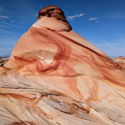
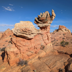
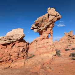
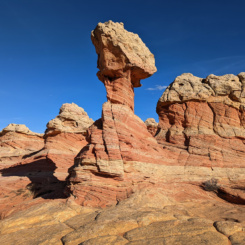
- Witch’s Hat, Coyote Buttes South | Paria Plateau Loop Hike ⮞⮞⮞
- Coyote Buttes South | Paria Plateau Loop Hike ⮞⮞⮞
- “Southern Wave”
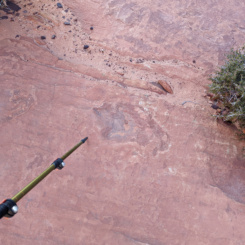
- dinosaur track
- Coyote Buttes South | Paria Plateau Loop Hike ⮞⮞⮞
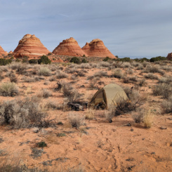
Before leaving Cottonwood Cove I went to check in on the spring with the same name. It was unfortunately dry with just a muddy spot on the ground with two dead cows nearby. 🙁 But again, I didn’t really need water. There is supposedly another spring which is more reliable high on the cliffs to the west near the CBN boundary — but I didn’t take the time to investigate. Instead I headed out of the permit boundary and through the sand toward The Teepees where I’d camp for the night.
DAY 2
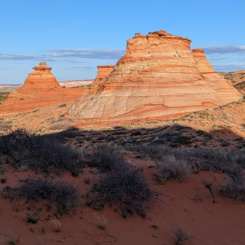
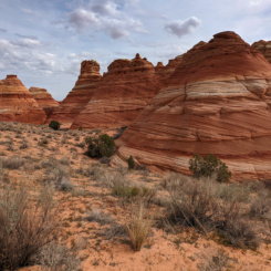
Picked up camp on a slightly overcast day and headed out to explore the South Teepees followed by the North Teepees. There are some interesting formations here and all are outside permit boundaries. I failed to find any of the petroglyphs mentioned by Kelsey, but did come across a hawk’s nest and scared away its inhabitant. The North Teepees include a narrow slot-like entrance to a cool section which I believe some people call “The Vortex”.
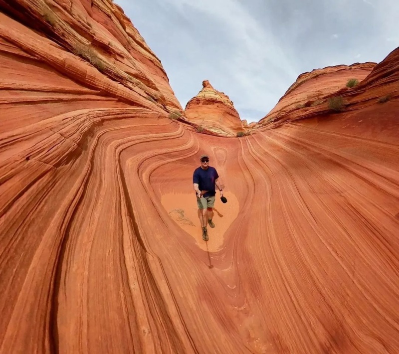
Teepee Wave/Vortex
Leaving the Teepees I headed out toward another spring area as shown on the map. I fully expected this one to be dry too because looking at Google Earth imagery this area hasn’t been wet for 10+ years. Sure enough, completely dry with only a sparse bit more vegetation and grass in the area.
From here I picked my way through the sandstone mounds making a beeline as best I could for the northern end of Coyote Buttes North. At one moment I could see hikers returning from the Wave in the distance.
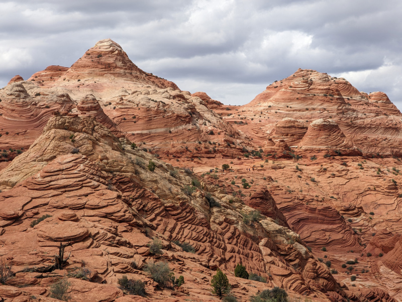
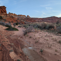
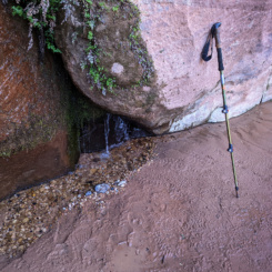
As I dropped down through one wash I was surprised to see some damp sand. I followed the wash up a ways and was pleased to see a pool of water beneath a dryfall. Again I didn’t need it — but it’s cool to know that it was here even in what had been a really dry season so far.
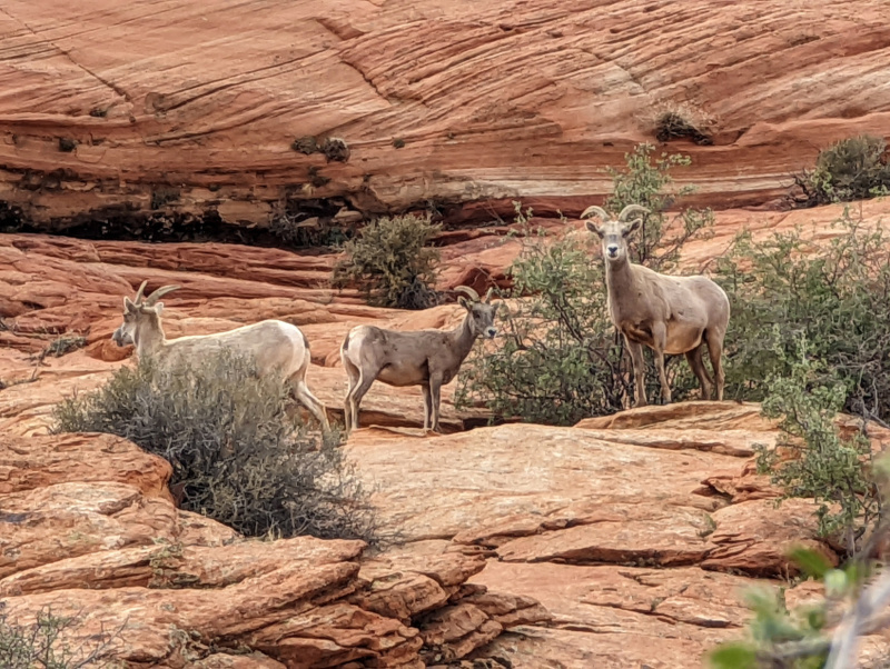
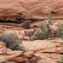
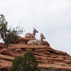
Probably not by coincidence in proximity to water, not too much farther along I encountered a large herd of Desert Bighorn Sheep hanging out on the sandstone cliffs above my route. At first they were very in tune with my presence, but soon they could tell I wasn’t a threat to their high ground location and they just continued chewing on the brush and lazing around. I counted 23 in total.
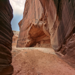
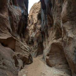
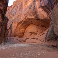
Continuing north I dropped into Wire Pass and immediately crossed the wash and exited the other side to climb up a ways to where I’d hidden my cache. After the quick re-supply I headed down the slot canyon that’s popular as a day hike. It was the first time I’d been there since the BLM installed a ladder to get down a chockstone. Actually, technically what’s there now is a replacement ladder as the original one got washed away in a flood last year. There is a bypass as well for those not comfortable with the climb. Soon I exited the slot into Buckskin Gulch and had the amazing view of the alcove at the junction.
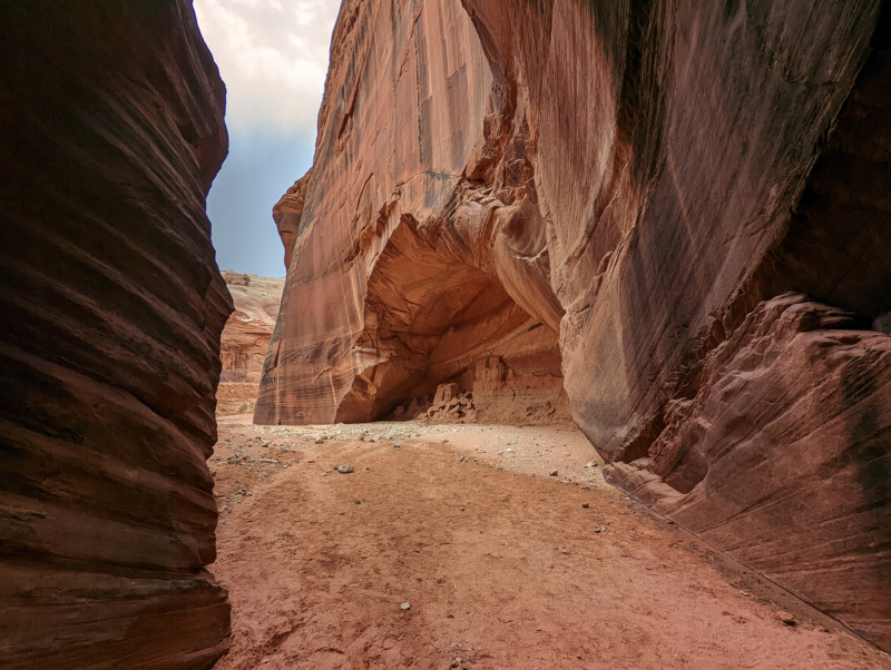
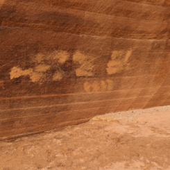
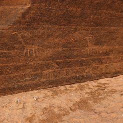
There were a few groups of people here but it wasn’t overly crowded since it was late in the day. One group was actually leaving as I entered and I walked over to check out some petroglyphs near the undercut. That’s when I saw a young child (two or three years old maybe) scratching on the wall with a rock! His parents were nearby, but either didn’t care or were oblivious. I yelled at the kid “No, no, no — don’t do that!” That got everyone’s attention quickly. He stopped and I picked up a clump of damp dirt from nearby and began covering up all his marking and then the kid began balling! His parents walked over and I told them that they shouldn’t let him do that. They said they didn’t see him, but… that he was only a small child and didn’t know better. I said that’s why they needed to WATCH him and TEACH him! They still didn’t seem too concerned about it and pointed out that several other people had done it motioning toward more freshly scratched names on the rock wall — on top of the actual petroglyphs. I adamantly stated that that doesn’t justify it and tried to cover those with dirt as well (hoping it would absorb the fresh marking and all brush off together.) The parents sheepishly apologized and soon left. I actually recorded some of this and my reactions to it all on video, but decided to cut it out as it was too negative for what was otherwise a good day of hiking. I lamented how frequently on my posts about graffiti/vandalism (or those from other people) there’s always “that guy” who contends “how’s it different than rock art from years past?” IMHO these people are either just trolls or just incapable of seeing the difference in how civilization has evolved — in either case there’s not much sense in having a debate. What might seem like an innocent philosophical question/mindset, can actually lead to or perpetuate damaging behavior and thus I will continue to preach Leave No Trace ethics.
Moving on…
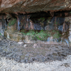
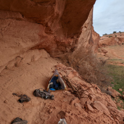
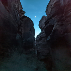
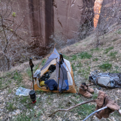
From the alcove I headed out the “wrong way” and went UP the canyon. This was intentional as even though I planned to eventually go DOWN the Buckskin, I wanted to go up through the upper end of the slot to where the canyon opens up and find a place to camp. So that’s what I did. I camped in small alcove and went off to explore another spring area. There was a small dripping wall near where I camped, but it was pretty mucked up by the horses that frequent the spot. The other spring shown on the map was dry. I expected this to be the case and thus had plenty of water in my cache to last me until I got to the Paria. I hoped to climb up and explore the sandstone cliffs in this area (ie “Edmaiers Secret”), but darkness was creeping in so I just returned to my camp and called it a night.
GALLERY:
- North Teepees
- The Teepees | Paria Plateau Loop Hike ⮞⮞⮞
- The Teepees | Paria Plateau Loop Hike ⮞⮞⮞
- The Teepees | Paria Plateau Loop Hike ⮞⮞⮞
- The Teepees | Paria Plateau Loop Hike ⮞⮞⮞
- The Teepees | Paria Plateau Loop Hike ⮞⮞⮞
- Desert Bighorn Sheep
- Coyote Buttes | Paria Plateau Loop Hike ⮞⮞⮞
- nearing Wire Pass
- Wire Pass Slot
- covered graffiti
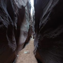
- Upper Buckskin Gulch
DAY 3
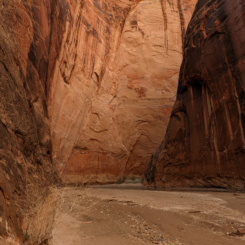
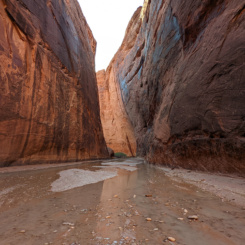
Headed down Buckskin Gulch and was soon back at the junction with Wire Pass. It was MUCH busier than it had been the previous evening… borderline madhouse. This has become a very popular dayhike; and for good reason as it’s a cool spot which is fairly accessible with just a pinch of adventure. I realize that I too am part of the “crowd”, so I tried to just move on and not let it bother me. But, continuing down the narrow canyon it continued to be crowded for the next few miles. This is where it was really fairly miserable with “lineups” to get past the small puddles and kids yelling and screaming and throwing rocks. I realize most people hate quotas, but a limit on the number of dayhikers here might be a good idea. I moved on as quickly as possible and luckily within an hour or so there were only a few, more respectful dayhikers left. I didn’t see any other backpackers until the bottom end of the Buckskin.
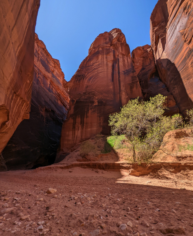
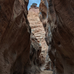
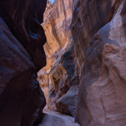
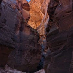
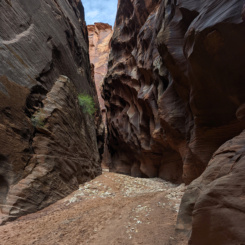
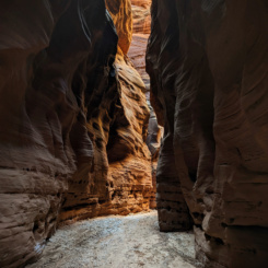
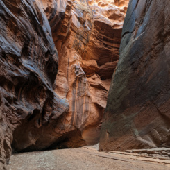
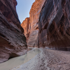
Buckskin has been called the “longest slot canyon in the world”. Not sure exactly who proclaimed this and what qualifications it’s based on, but I will perpetuate the claim. It’s not truly a slot canyon the whole 13.8 miles, but it is consistently fairly narrow throughout. As amazing as it is, it can almost become monotonous as a hike as one cycles through a similar-looking landscape hour after hour.
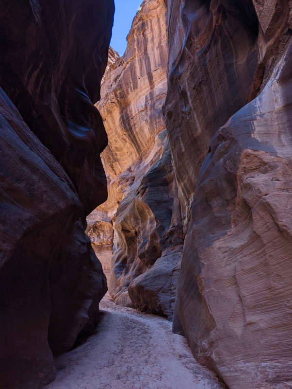
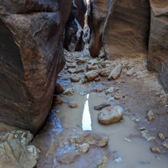
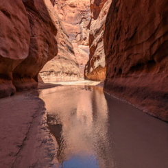
I’ve done all or part of the Buckskin five times now and this was by far the driest I’ve seen it. I’ve never encountered the chest to neck-deep pools which have become a thing of lore, but I have had to wade through numerous thigh-deep pools in the past. This time I only encountered one mandatory mudpool and it was barely shin deep. Once past Middle Route the canyon was completely dry (until the very bottom where it begins to run after the Rockfall.)
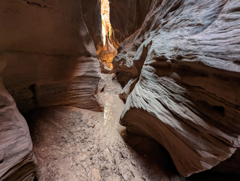
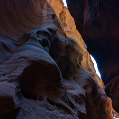
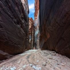
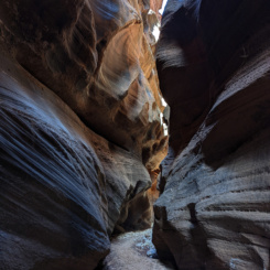
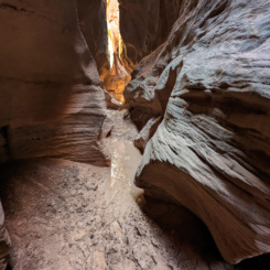
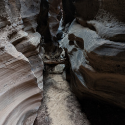
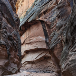
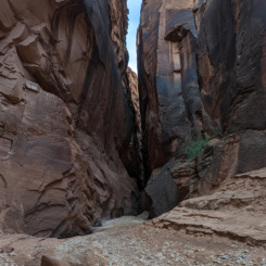
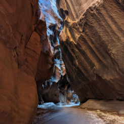
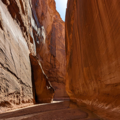
People often ask me what is the best part of the Buckskin — and that’s hard to answer. I think the deepest/darkest section is between Middle Route and the Rockfall, but those characteristics don’t always make for the best photos. The upper section has some great sculpted walls, but getting the timing right to avoid direct sunlight can be difficult. The upper/middle section has often underappreciated non-slot areas featuring cool alcoves and “joints”. The lower section has some great deep narrows, and though maybe not as sculpted, these spots can still be very pretty in the right light. I definitely recommend a short trip UP the canyon to the Rockfall for anyone primarily focused on the Paria.
A goal of mine on this trip was to NOT camp at the Buckskin Terraces. There really isn’t a lot of good camping in the Buckskin, but there are a few spots for those with a small footprint (solo or two people maybe). I camped high on a mound probably 10 minutes below the rockfall and it was fine. The Terraces are overused and should be avoided if possible (I’ve heard frequent grumbling about rude campers here as well as more and more groups squeeze into this fairly intimate location on a nightly basis.)
GALLERY:
- Buckskin Gulch | Paria Plateau Loop Hike ⮞⮞⮞
- Buckskin Gulch | Paria Plateau Loop Hike ⮞⮞⮞
- Buckskin Gulch | Paria Plateau Loop Hike ⮞⮞⮞
- Buckskin Gulch | Paria Plateau Loop Hike ⮞⮞⮞
- Buckskin Gulch | Paria Plateau Loop Hike ⮞⮞⮞
- Middle Route
- rock art at Middle Route
- exit crack to south
- Buckskin Gulch | Paria Plateau Loop Hike ⮞⮞⮞
- The Rockfall
DAY 4
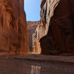
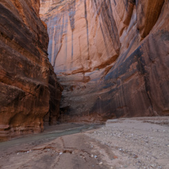
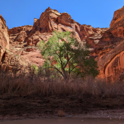
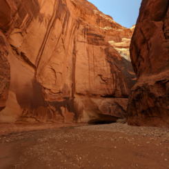
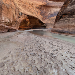
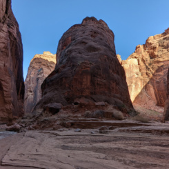
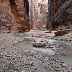
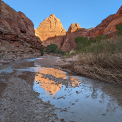
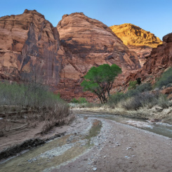
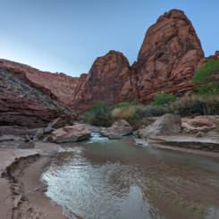
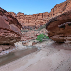
Finished off the rest of the Buckskin early in the morning and continued down the Paria River. I encountered a few groups near the confluence, but otherwise didn’t see anyone all day. I really enjoyed this stretch of Paria Canyon with its tall walls and numerous undercuts. I filled up on water at Big Spring and then enjoyed hiking down through the “Goosenecks” section — possibly my favorite part of the canyon.
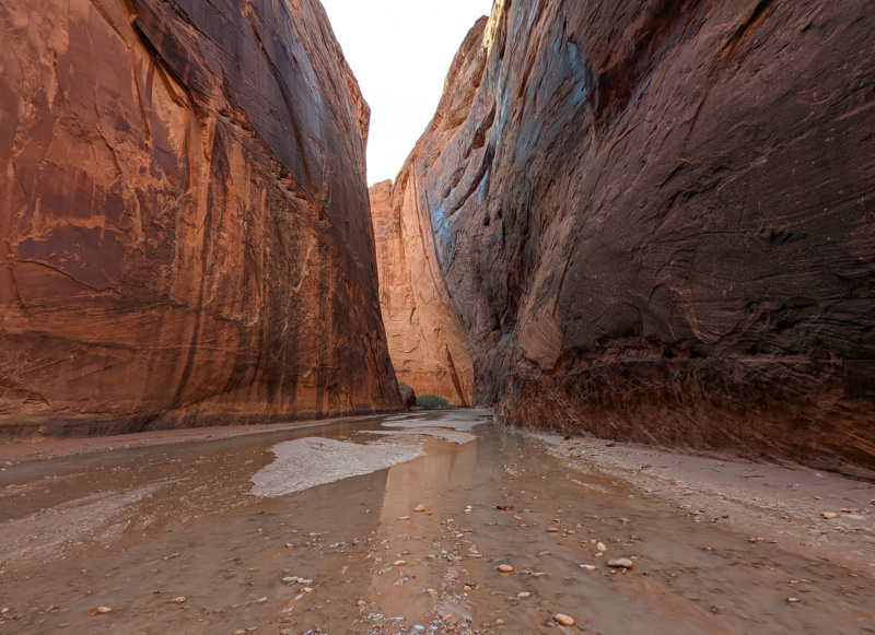
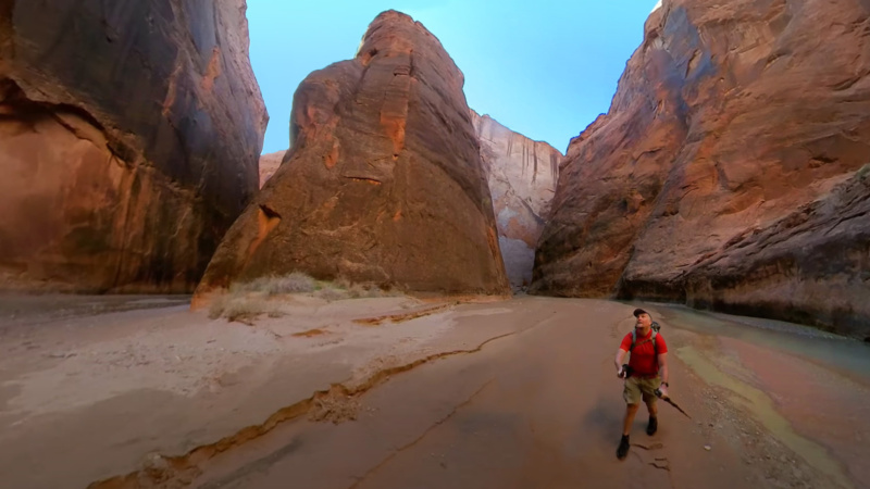
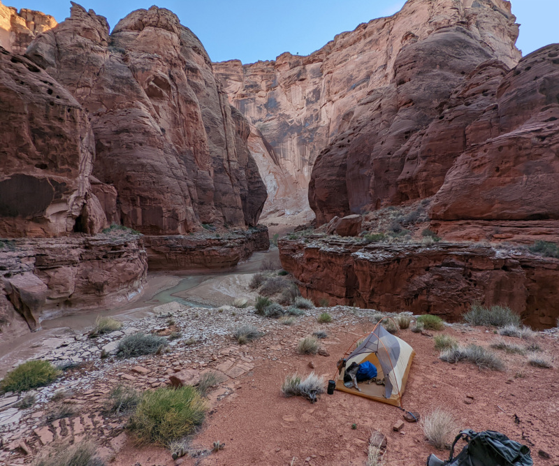
I made camp atop some ledges just as the canyon was beginning to open up after the narrow section. It was a nice camp. As I said in my video I think many of the popular camps along the Paria are overused because the BLM only marks a few sites on its official map. In reality there are plenty of spots to camp. If possible, fill up at a spring and then use a not-so-popular camp to help spread out the usage.
GALLERY:
- Lower Buckskin Gulch
- Buckskin Gulch | Paria Plateau Loop Hike ⮞⮞⮞
- Paria/Buckskin Confluence
- Paria Canyon | Paria Plateau Loop Hike ⮞⮞⮞
- Big Spring
- Paria Canyon | Paria Plateau Loop Hike ⮞⮞⮞
- The Goosenecks
DAY 5
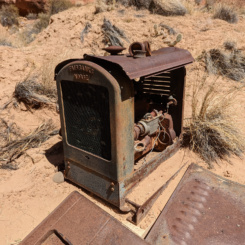
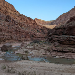
It was a nice sunny day as I continued splashing my way down the canyon. I once again sized up Adams Trail (one day I’ll climb up it!) and then Adams Pump a little farther down the canyon. These are relics from a rancher who developed a trail into the canyon and brought down machinery in a failed attempt to pump water to the rim. The items remain in place about 100 years later.
After this the canyon begins to open up somewhat and it becomes more brushy along the river. As one might expect there are many springs in the Many Springs area (though many are small and without good “spouts”).
I wanted to explore the bottom end of a feature known as “The Hole” but somehow missed it as I was making decent time down the river. I contemplated going back, but instead just pushed on. Soon I was to Wrather Canyon where like my 2019 trip I made the diversion to check out the amazing side canyon and arch.
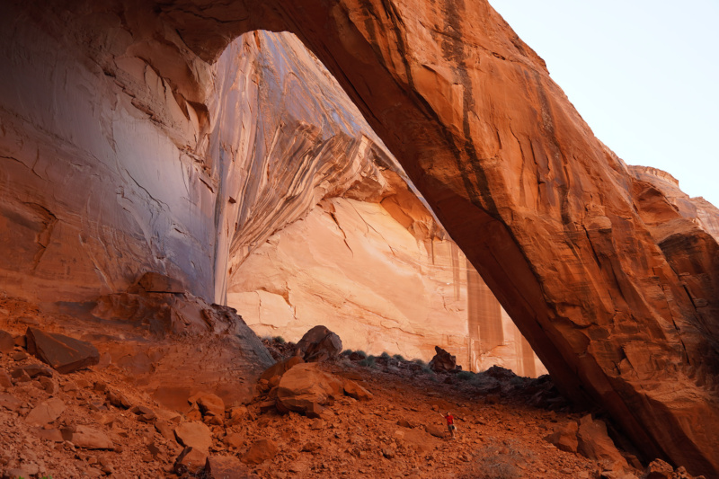
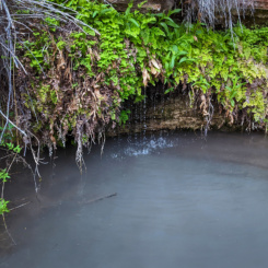
After the 90-minute diversion I was back walking down the Paria and soon to the site of Shower Spring. The actual spring itself alluded me last time and was a bit of a thorn in my side as a few friends chided me for not being able to find it. This time I was determined to find it and… it was quite easy. Turns out it was slightly farther upstream than I had imagined and much lower to the ground. Also, even though it’s a big spring, no water actually flows out and into the river (but instead must sink into the ground.) Best hint to find it: follow the well-worn path into the brush (says Captain Obvious!) If for some reason you do miss it, there’s another great spring just down canyon on the southern wall (and it’s easier to fill up at because you don’t have to wade through a pool to get to it!)
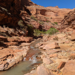
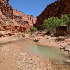
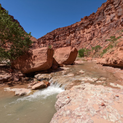
The next stretch of canyon is quite nice with frequent rapids running over slickrock. The area reminds me a lot of the canyons of the Escalante.
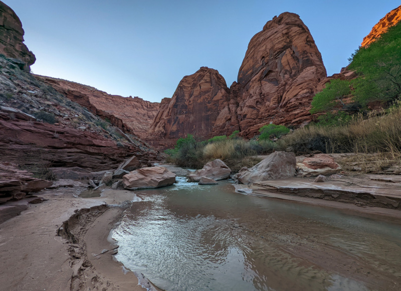
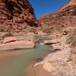
I ended up camping a few bends down on a sandy shelf above a nice cascade which provided great ambient sound throughout the night.
GALLERY:
- Paria Canyon | Paria Plateau Loop Hike ⮞⮞⮞
- Adams Pump
- Wrather Arch
- Wrather Arch | Paria Plateau Loop Hike ⮞⮞⮞
- Paria Canyon | Paria Plateau Loop Hike ⮞⮞⮞
- Shower Spring
- Paria Canyon | Paria Plateau Loop Hike ⮞⮞⮞
DAY 6
Continued down the river on another sunny, but not overly warm day. It’s in this part of the canyon one can see a cool hanging sand dune on the southern side of the canyon. It actually “falls” down over a ledge at one point making a sand slide and nearly reaches the river.
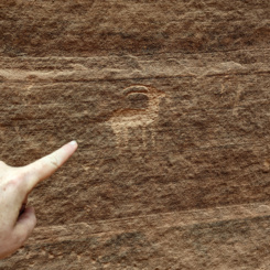
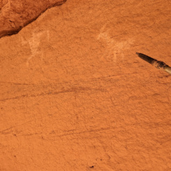
About another 10 minutes down canyon is where I’d marked the location of the “Bighorn Panel” via guidebook author Kelsey. On my last trip down the Paria I was not able to find this rock art site, but didn’t really have much time to explore due to fading daylight. This time I spent more time looking and climbing up and scouring the walls and… I still didn’t find it! I did however find a smaller panel with two bits of rock art. In hindsight once back home I realized I’d made a mistake in my notes and interchanged two different sites via Kelsey. The Bighorn Panel is actually farther upstream across from the sand slide. Speaking to other hikers I learned it’s quite impressive and big enough to see from the river itself. Next time!
A bit farther down canyon I came to another noted location — Last Reliable Spring. This is a good little spring on the eastern wall across from a decent camp area. As I commented in my video, there’s a bunch of misinformation about this spring online as several popular blogs show its location farther down canyon. There is another spring at that spot — but it tends to dry up later in the season and thus is NOT always reliable. I filled up once again.
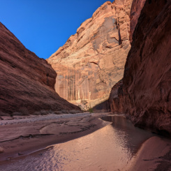
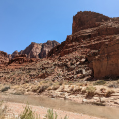
The canyon continues to widen throughout this section, but the walls seem to really tower and it’s still a nice walk along the river.
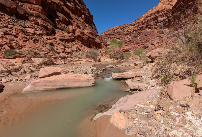
As I neared my planned exit route I decided to take a dip to cool down and wash the six days of hiking off of me. I also filled up an extra container of water straight from the river — not knowing for sure how much water I’d find on the Plateau.
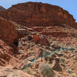
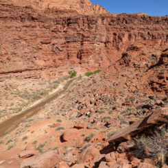
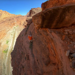
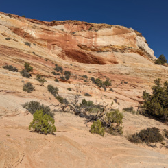
And then… just before coming to Bush Head Canyon, I began the nearly 2000′ climb up to the canyon’s rim. Here’s a approximation of the route as seen from a bit farther down canyon:
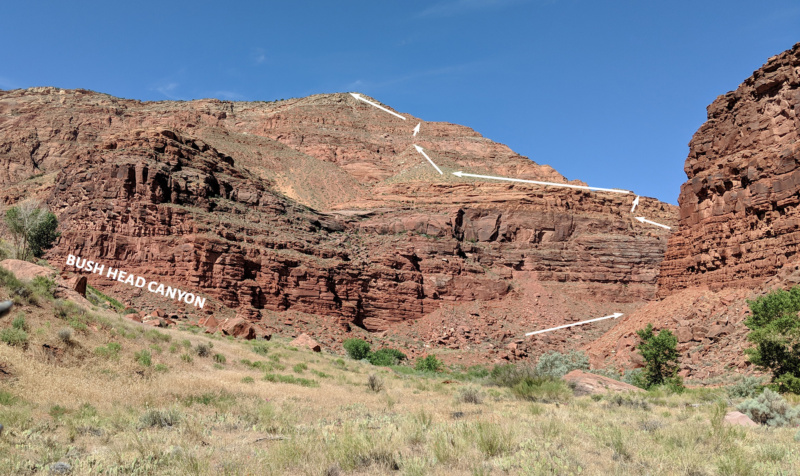
The route up is NOT to be undertaken too casually. It requires a lot of trial and error to find the best route and it’s seldom the most direct path. There is some exposure and small scrambles are required, but at no point did I find it extremely scary (despite how bad the video looked!) If one finds himself truly “climbing” in dangerous spots, stop and look for a better way up!
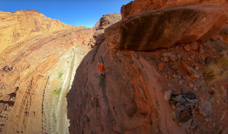
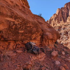
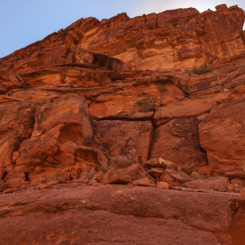
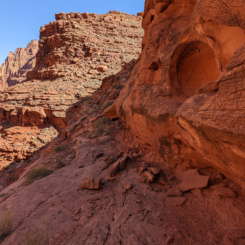
After getting up over the lower Kayenta cliffband, one can traverse back to the east and to a large gulch. From here it’s a fairly straight-forward walk up through talus to the next cliffband. This next rock layer looks like an impenetrable wall, but luckily there’s a nice crack right on the point which provides fairly easy access to the higher level.
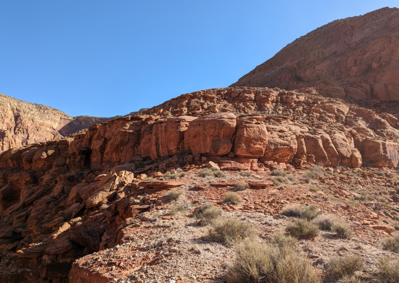
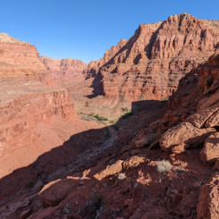
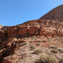
Once atop the cliffband one must make their way up a large sandy dune covered in prickly pear cacti and to the massive rock talus which leads to the rim. This upper section can be tedious and it’s advised to not attempt in the heat of the day. Again one is likely to have to do a lot of trial and error in the upper section to find the best way past a bunch of short scrambles involving a lot of crumbly rock. After more effort than I anticipated, I was happy to be at the top and enjoyed the view back down the canyon.
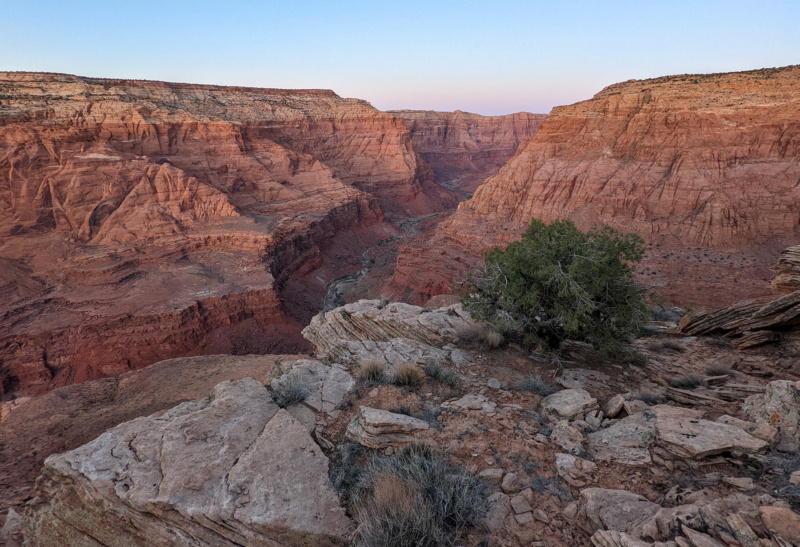
I found a decent place to camp nearby and called it a day.
GALLERY:
- Sand Slide
- Not the Bighorn Panel
- Paria Canyon | Paria Plateau Loop Hike ⮞⮞⮞
- lower section of Bush Head Exit Route
- Bush Head Exit
- Paria Canyon | Paria Plateau Loop Hike ⮞⮞⮞
- above first cliffband
- gully above first cliffband
- middle cliffband
- crack passage
- upper scramble
- nearing the top
- Paria Canyon | Paria Plateau Loop Hike ⮞⮞⮞
- top of Bush Head Exit Route
DAY 7
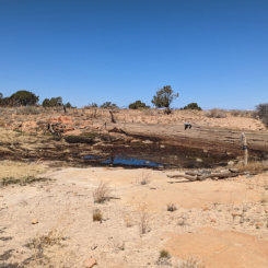
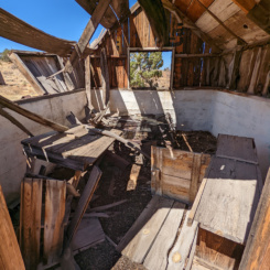
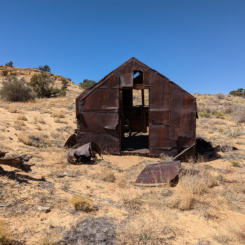
In the morning I followed the rim a ways to the south before continuing cross country through the sandy landscape toward Bush Head — a prominent rock outcrop in the distance. Near the formation is a reservoir of the same name and two old line-shacks/cabins. There was hardly any water left in the reservoir and what was there looked pretty bad. I was still OK with my full load that I’d taken from the Paria.
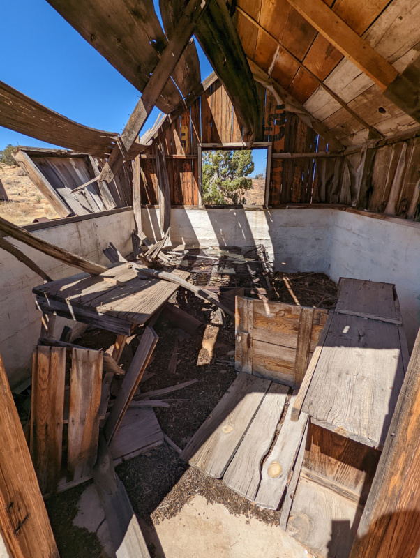
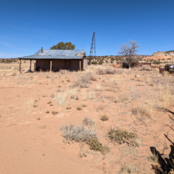
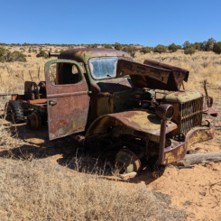
From here I picked up an old 4×4 road through the sand and after about 3 miles of trudging along I came to another abandoned homestead. This one was a bit more contemporary in nature and looks as if it might still be used on occasion. There’s a well here — but it was unfortunately dry. The road branches here, but I kept going to the south through the sand before leaving the road to go cross-country to another colorful outcrop of sandstone called Button Pocket.
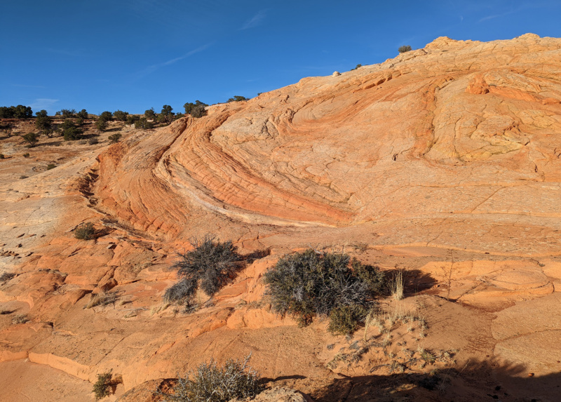
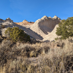
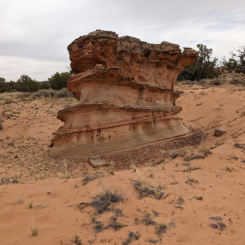
From here I headed south to another set of “Brain Rocks” that I’d spotted on Google Earth — there really are a bunch of cool outcrops of sandstone atop the plateau.
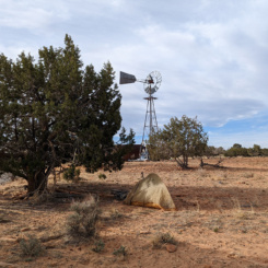
The sun was getting low in the sky as I made my way past more cool geology and much more sand to Middle Reservoir where I camped near an old windmill.
GALLERY:
- along rim of Bush Head Canyon
- Bush Head Reservoir
- Bush Head Cabin
- second Bush Head Cabin
- abandoned homestead
- old truck
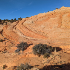
- Button Pocket
- Button Pocket | Paria Plateau Loop Hike ⮞⮞⮞
- Button Pocket | Paria Plateau Loop Hike ⮞⮞⮞
- Brain Rocks
- Paria Plateau | Paria Plateau Loop Hike ⮞⮞⮞
- approaching Middle Reservoir
DAY 8
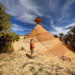
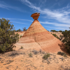
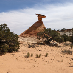
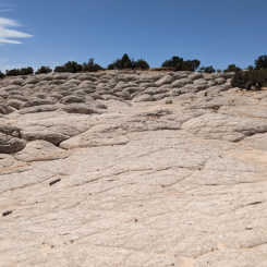
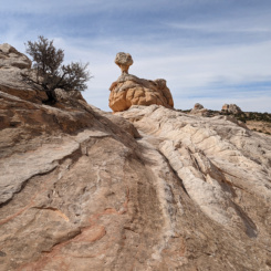
Explored the brain rocks and other interesting geology around Middle Reservoir in the morning. The reservoir itself was almost dry, but for water I tapped the overflow tank near the windmill. Headed out cross-country once again and before too long came to more interesting slickrock including the Cowboy Hat hoodoo.
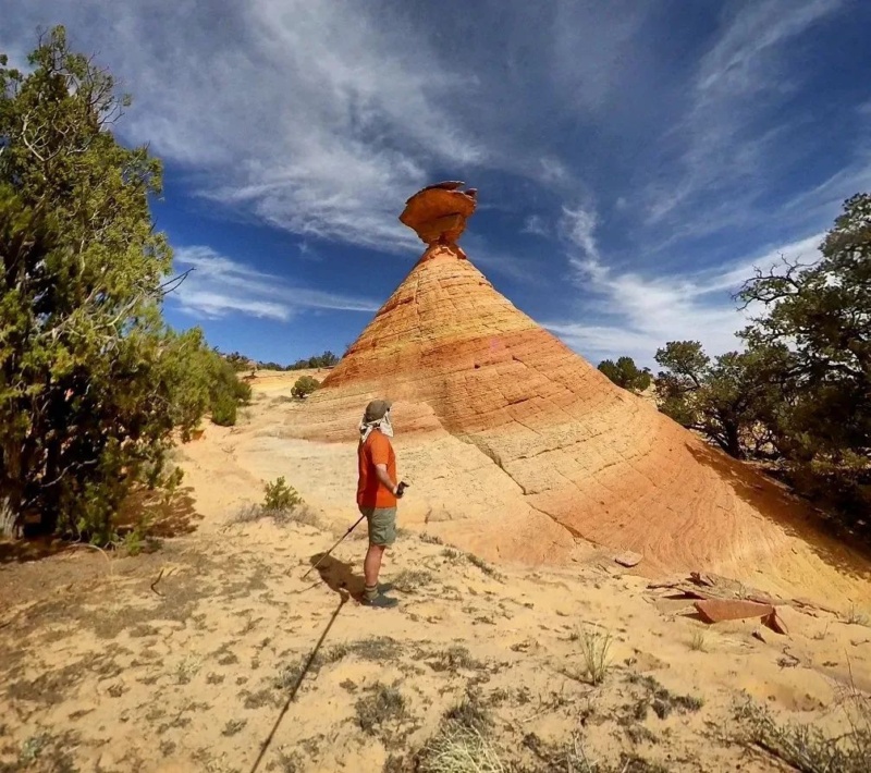
The Cowboy Hat
From there I continue headed over to Lower Reservoir. My route for this entire day would be mostly cross-country, but occasionally I’d follow one of many backroads for a while if it went the general direction I wanted to go. There was plenty of water at Lower Reservoir — unfortunately it was so polluted by cows I didn’t even bother trying to filter it (the filter can only do so much when it comes to taste!) I believe there might be a cabin and tanks a short distance to the north of the reservoir, but I didn’t investigate.
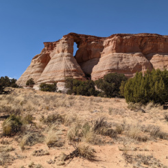
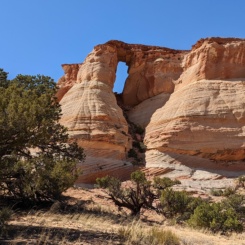
My next milestone was Hole in the Rock. This feature was really cool and much larger than I’d imagined based on the pictures I’d seen.
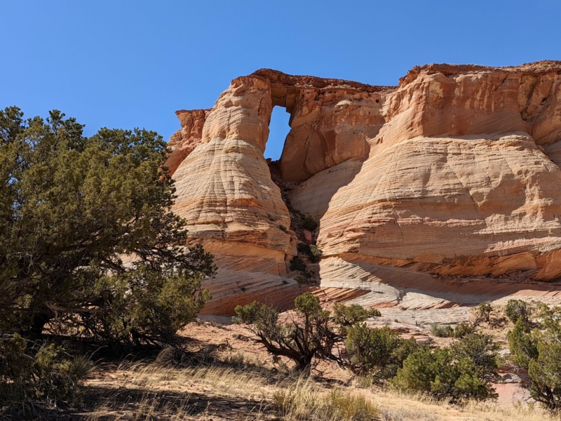
I passed to the south of the window via a saddle. Though it looked possible to get up underneath the arch, I didn’t take the time to try it out. The view from the western side is also impressive and a little more “window”-like in appearance.
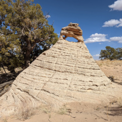
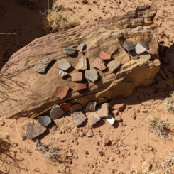
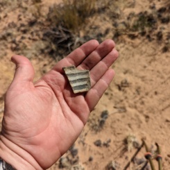
From this point in the day the wind began to steadily pick up and eventually got REALLY bad. I hated walking into the wind, but I did enjoy watching it blow tumbleweeds across the landscape and occasionally hundreds of feet into the air. I skirted “Pottery Butte” to the south and was amazed by all the pieces of pottery in the area true to its name.
One butte to the west I explored the walls hoping to find known petroglyphs — but was never able to locate them. Too bad too, there’s a “skinny man” one here I’d really hoped to see. Next time — I was anxious to get to White Pocket.
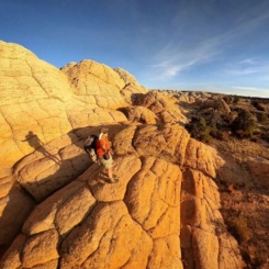
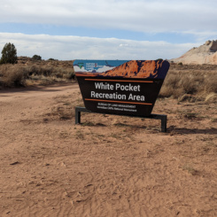
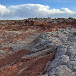
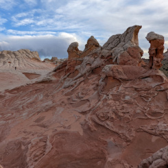
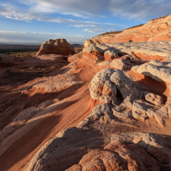
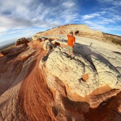
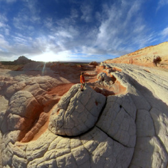
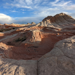
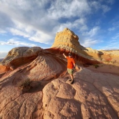
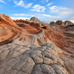
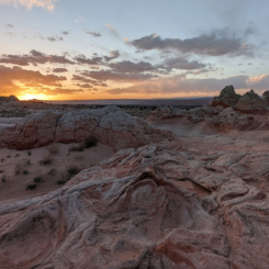
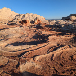
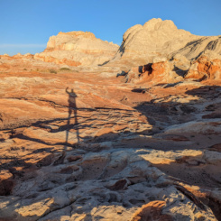
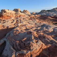
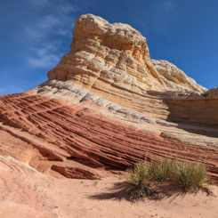
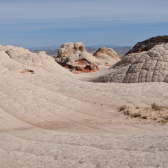
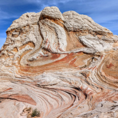
When I finally arrived at White Pocket there were 6-7 vehicles in the parking lot made to accommodate many more than that. The sky was brown from all the dust in the air due to the wind. It was a bit discouraging as this was my first time at the location known for its colorful and strange slickrock formations and I was afraid the conditions may lead to disappointment. The place was still pretty awesome, BUT… just before sunset the sun popped out and the place really came alive!
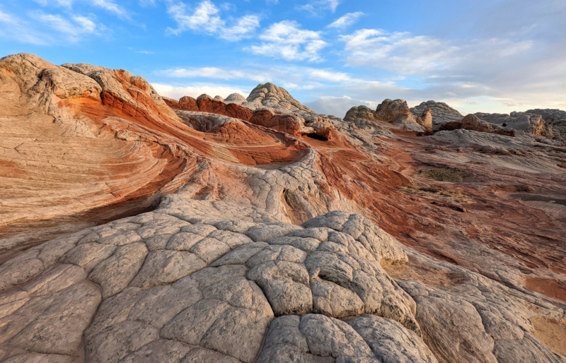
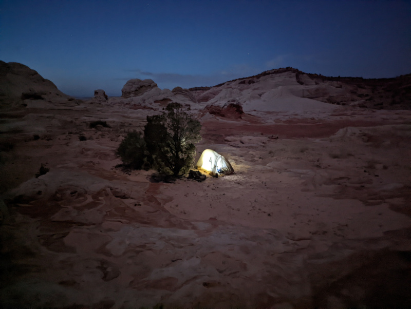
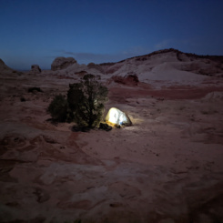
There were probably 20 or so people roaming around the rocks with me. It didn’t really feel crowded, though I’ll admit it felt a bit strange to be around so many people after seeing NOBODY for the last two days and only a handful before that along the Paria. It was an amazing sunset and soon after I was the only one left at this great place. I’d find a camp nearby and see more in the morning.
GALLERY:
- Middle Reservoir
- Wavey Outcrop east of Cowboy Hat
- The Cowboy Hat | Paria Plateau Loop Hike ⮞⮞⮞
- Cowboy Hat | Paria Plateau Loop Hike ⮞⮞⮞
- Lower Reservoir
- Hole in the Rock
- Hole in the Rock | Paria Plateau Loop Hike ⮞⮞⮞
- Pottery Butte | Paria Plateau Loop Hike ⮞⮞⮞
- White Pocket | Paria Plateau Loop Hike ⮞⮞⮞
- White Pocket | Paria Plateau Loop Hike ⮞⮞⮞
- White Pocket | Paria Plateau Loop Hike ⮞⮞⮞
- White Pocket | Paria Plateau Loop Hike ⮞⮞⮞
- White Pocket | Paria Plateau Loop Hike ⮞⮞⮞
- White Pocket | Paria Plateau Loop Hike ⮞⮞⮞
DAY 9
I thought I’d be the only one at White Pocket in the early morning — but when I heard drones buzzing over my tent at 6:45am I realized that would NOT be the case. I got up and did more exploring and in reality there were only two other groups of two there (one group had car camped and the other had driven in before dawn.) I enjoyed seeing the early morning sunlight on the rocks and then by about 9am those two groups left and I had the entire place to myself for over an hour — it was awesome!
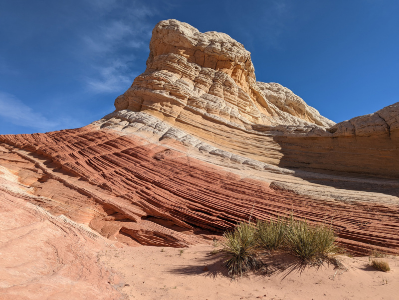
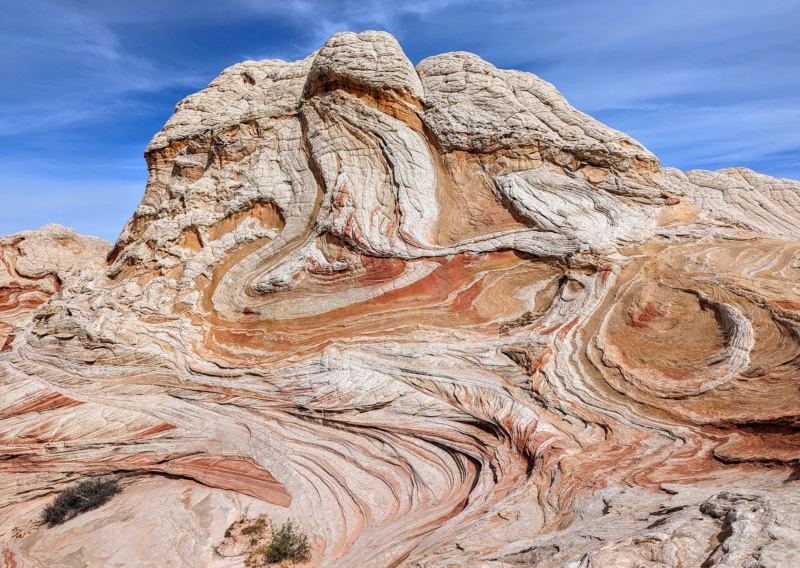
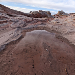
By late morning I decided it was time for me to move on. I loaded up on water from one of the three small pools found there and headed west.
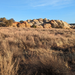
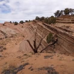
There are some interesting features just west of White Pocket, but then it’s several miles of fairly uneventful walking to get back to the Coyote Buttes South area. Along the way one will come upon small outcrops of rock which makes one wonder what other oddities are buried beneath the sand.
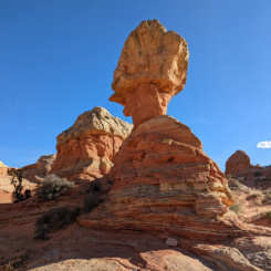
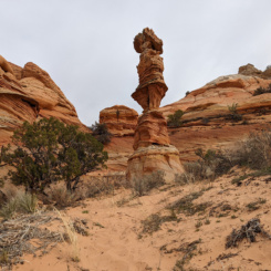
A few hours later I was at an outcrop of sandstone just east of the Cottonwood Cove area. This area is outside the permit boundary and is home to a feature known as “Chess Queen” or “Totem Pole”.
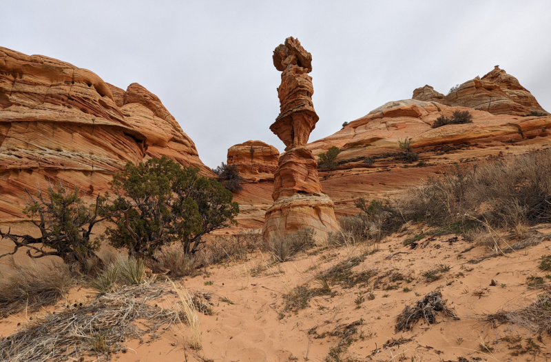
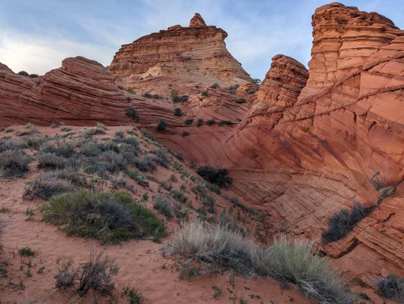
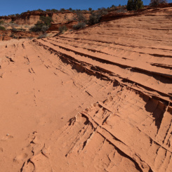
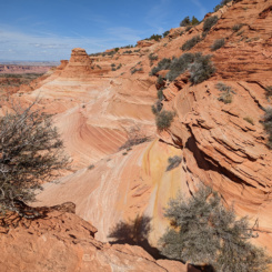
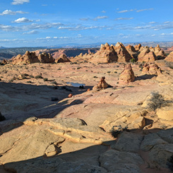
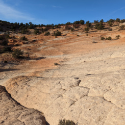
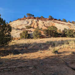
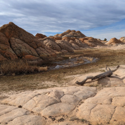
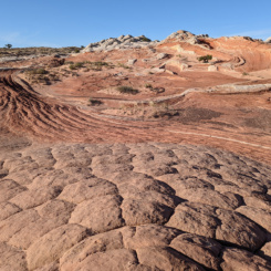
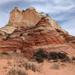
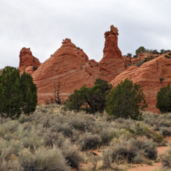
From here I skirted the boundary of Coyote Buttes South along its southeastern edge. This is a sandy slog and it’s not really recommended — but sometimes connector routes like this are necessary in order to do cool loop hikes. Actually the last stretch nearing Paw Hole features some more cool slickrock. Some of the best features here are inside the permit boundary, BUT… nice views can be had from just across the line — like this spot here:
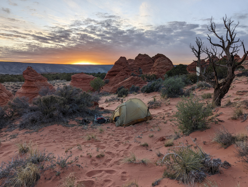
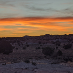
I could have easily made it back to my Jeep late in the evening, but I had already decided that it would be better to just take it slow and camp one more night out on the trail. I’m glad I did as it was another great sundown.
GALLERY:
- White Pocket | Paria Plateau Loop Hike ⮞⮞⮞
- White Pocket | Paria Plateau Loop Hike ⮞⮞⮞
- White Pocket | Paria Plateau Loop Hike ⮞⮞⮞
- White Pocket | Paria Plateau Loop Hike ⮞⮞⮞
- Paria Plateau
- near Cottonwood Cove
- near Paw Hole
- Final Camp
- Paw Hole, Coyote Buttes South | Paria Plateau Loop Hike ⮞⮞⮞
DAY 10
There really wasn’t much left for Day 10 — and thus I don’t even count it as a “day”. In just over an hour I was down the sandy road, past several cows, and back to the parking area. The most eventful part of the day… finding I had a dead battery when I tried to start my Jeep! 😱 I had a good battery so I must have left something on inside when I set out for the hike. Luckily it didn’t take too long for a passerby to come by and help me with a jump and then I was off and driving and thinking about the next hike — Zion to Green River!
don’t forget to check out the VIDEOS or the MAP for this hike. 👍




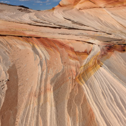
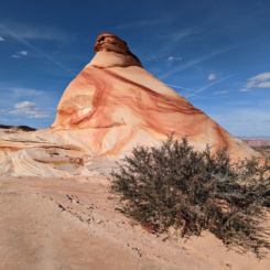
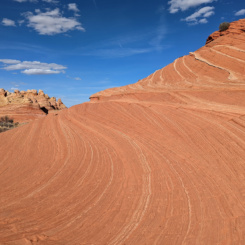
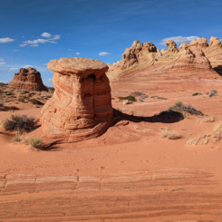


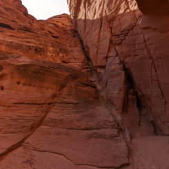
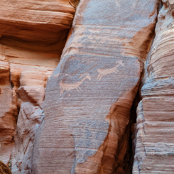
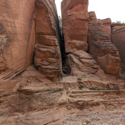
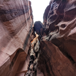



Hi Jamal. Thanks for another great hike report with a ton of amazing pictures. It is such a great complement to your hike videos, along with the map, with easy access to informations about specific great spots along the way. The represent an invaluable source of inspiration for upcoming trips in this region. Well done and thanks for sharing your awesome adventures. Keep them coming!
Hi Jamal,
Enjoyed reading your post-hike wrap-up w/ the photos, which was a nice compliment to the video series.
I’m glad you said something to the parents of that kid that was marking up the rock near the petroglyph panel @ Wire Pass. Kid of course isn’t going to know any better, and it’s a shame his inattentive parents didn’t, either. Hopefully, next time they’ll be more mindful.
Finally, you MUST get yourself one of these to keep in your Jeep; we got one a few years ago after husband had a dead battery in the camping van while out at the Wind Whistle campground in Canyonlands (and the person who stopped to help had one); it negates the need for another person with jumper cables to happen along, and can charge up other devices as well. I don’t leave home without it for either car camping or backpacking trips:
https://www.amazon.com/NOCO-GENIUS1-Fully-Automatic-Temperature-Compensation/dp/B07W46BX31/ref=sr_1_1_sspa?keywords=portable+car+battery+c
harger&qid=1663713362&sr=8-1-spons&psc=1
Cheers,
Sonya
Thanks, Sonya. Yeah, in a way the kid’s parents made me madder than the kid himself — especially when they initially acted like it was no big deal. RE: the self-jumper, I actually had one of those but it got stolen a month before I sold my Wrangler! I didn’t think I needed a replacement with the new Jeep, but evidently I was wrong! Thx for the suggestion.
Sonya, I am guessing you wanted to suggest the NOCO Booster, and not the NOCO Charger which requires 120V, obviously not very useful when in the middle of nowhere! Here the correct link: https://www.amazon.com/NOCO-GB40-UltraSafe-Lithium-Starter/dp/B015TKUPIC/ref=sr_1_2?crid=32EN87HS85MQG&keywords=noco+booster+plus+gb40&qid=1663781843&sprefix=NOCO+booster%2Caps%2C84&sr=8-2
Thanks! I know a big percentage of my audience just likes to watch the videos, but others (like myself) actually like to see the static stuff as well. Thanks for reading!