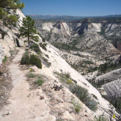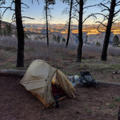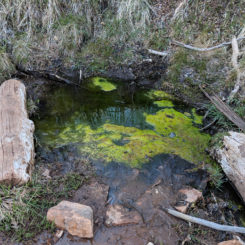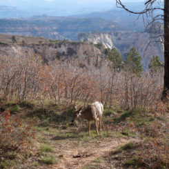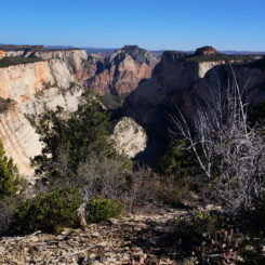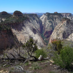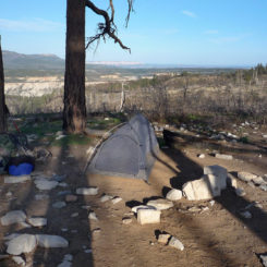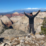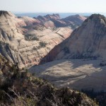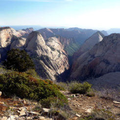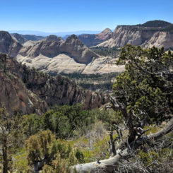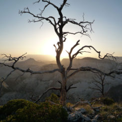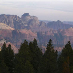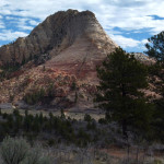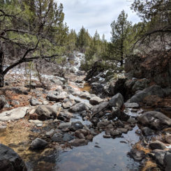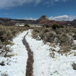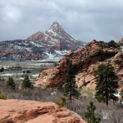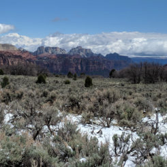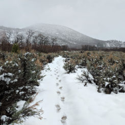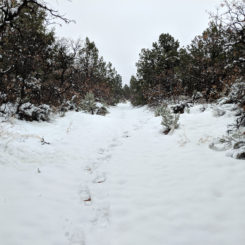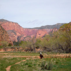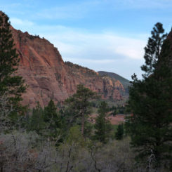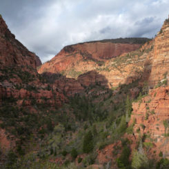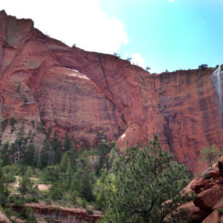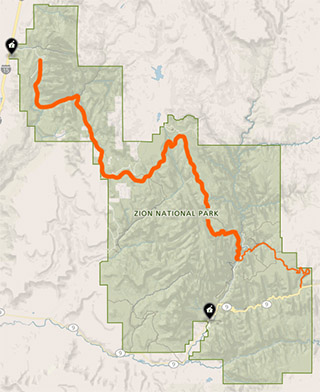
The “Zion Traverse” is the unofficial name for a route that combines several trails within Zion National Park to more or less cross the entire park. The route spans nearly 50 miles from near the park’s East Entrance to the Kolob Canyons region in the northwest section of the park.
- Note: the eastern portion of the Zion Traverse was impacted by a trail closure. See the East Rim Trail for more info.
Thru-Hikers doing the long-distance Hayduke Trail already do the eastern portion of the Traverse while on the East Rim Trail. The Hayduke and the East Rim Trail both end in Zion Canyon at Weeping Rock, but “Haydukers” who’d like to see more of Zion may opt to continue their journey and do the western portion of the Traverse as well. Highlights along this alternate/extension include Angels Landing, the West Rim, Kolob Terrace, Hop Valley, Kolob Arch, and the Kolob Finger Canyons. If one has never visited this part of the park… it’s a great way to extend the Hayduke and take it all in.
To begin one must get to the Grotto Traihead and picnic area. This is just down the park road from Weeping Rock — it’s an easy walk, or just one shuttle stop if one wants to opt for a ride. One could actually shortcut the route a bit by walking along and then crossing the Virgin River, but most will want to keep their feet dry and possible make use of the facilities at the actual trailhead (ie running water, bathrooms, trashcans, etc.)
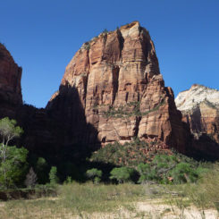
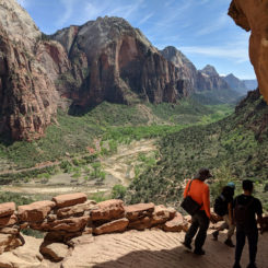
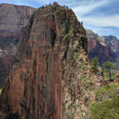
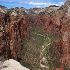
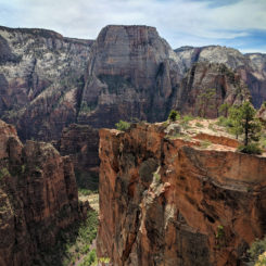
From the trailhead one crosses the bridge and turns right to pick up the West Rim Trail. This is also the route toward Angels Landing which is one of the most-popular hikes in the park so expect to see a BUNCH of other hikers. In fact, the park icon can be seen dominating the horizon ahead and if one looks closely enough there might even be hikers visible on top!
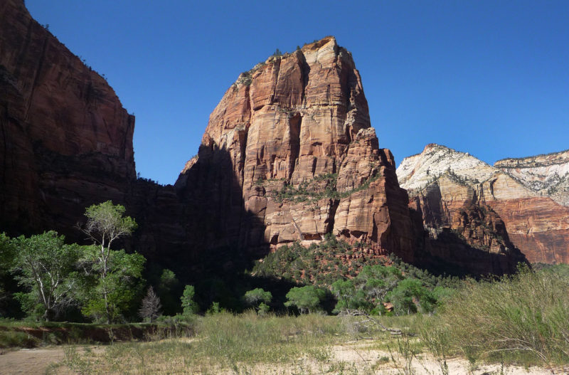
Angels Landing from near the start of the West Rim Trail
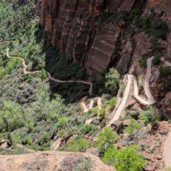
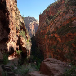
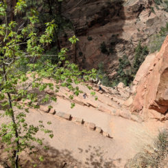
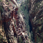
The paved route quickly climbs via a series of switchbacks before taking a hard left into Refrigerator Canyon. True to its name, this can be a cool relief on warm sunny days. After a short distance up the the canyon the route begins steeply climbing again via a series of 22 tight switchbacks known as Walter’s Wiggles.
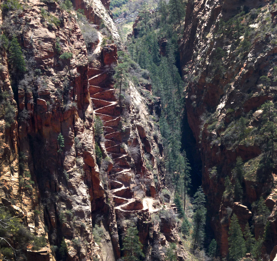
Walters Wiggles as seen from above Refrigerator Canyon
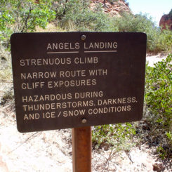
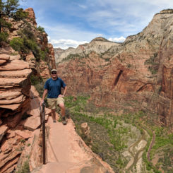
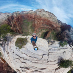
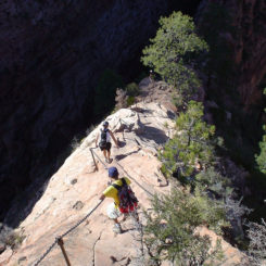
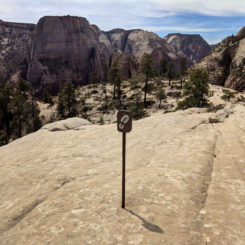
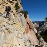
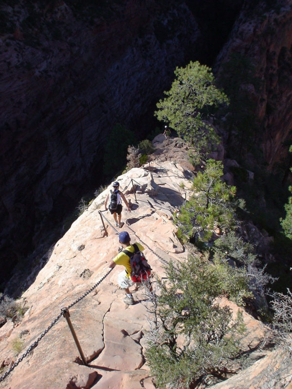
2 miles from the Grotto and atop the Wiggles there’s a trail junction at an area known as Scouts Lookout. The cliffs drop away dramatically here and one can look nearly straight down on the Virgin River and park road far below. The West Rim Trail continues to climb to the left, whereas the Angels Landing trail (and 99% of the hikers gathered here) goes to the right and climbs the famous monolith. If you have some time to spare I suggest you follow the masses up this incredible 1/2-mile spur route.
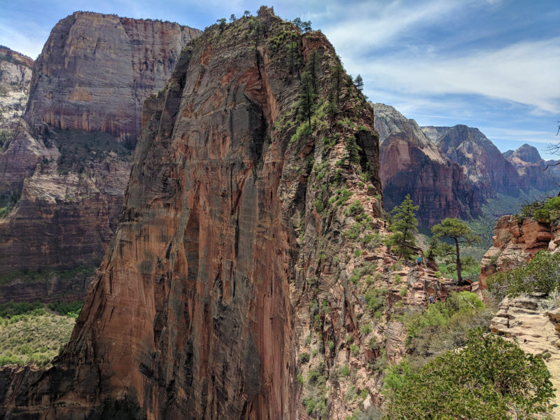
Angels Landing
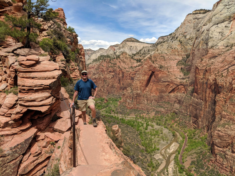
on the isthmus
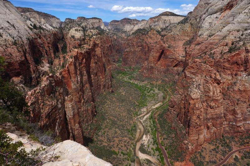
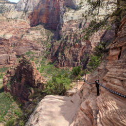
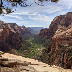
Head back down from the fun diversion and continue up the West Rim Trail where the route climbs for a bit before leveling out some. Make sure to turn around and take in the great views back toward the Great White Throne and the main canyon. This is also the area where one can get a good look back toward Walters Wiggles and Refrigerator Canyon as pictured above. The best view is from off the trail, but be careful — the cliffs are precarious here!
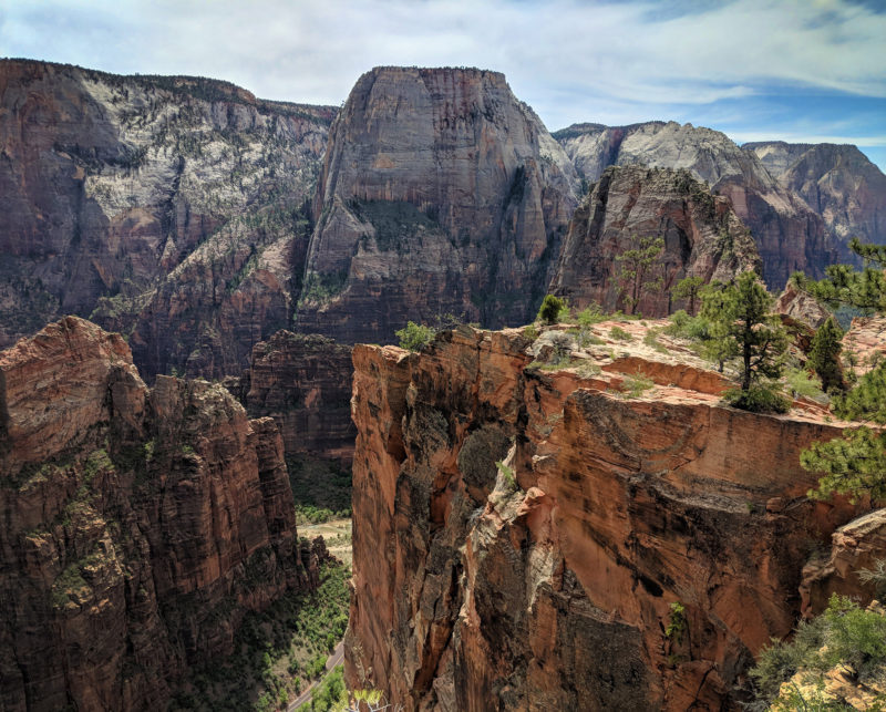
Great White Throne
Soon the trail turns inward away from the canyon rim and goes up and down over some slickrock as it makes its way up a side canyon. Before too long it will begin to climb again before making an hairpin turn to the right near the top of Behunin Canyon which drops away in the opposite direction. (Behunion is a popular canyoneering route which ends in the Emerald Pools area.) After the big turn the trail climbs abruptly via a feat of engineering to get atop the White Cliffs.
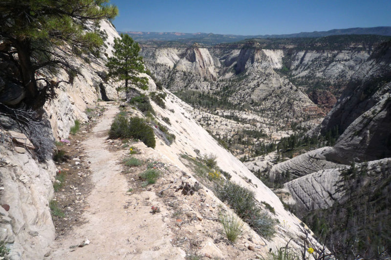
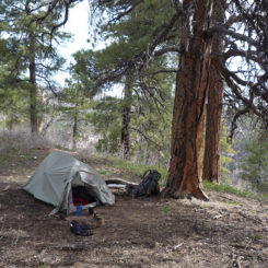
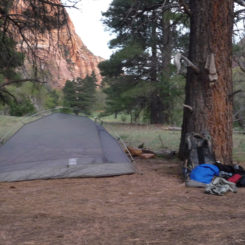
At the top of the cliffs is a nice wooded area where one will find the fist two of eleven designated camp locations along the West Rim Trail. Cabin Spring is also nearby and is a reliable source of water.
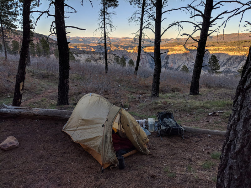
Camp #2 West Rim
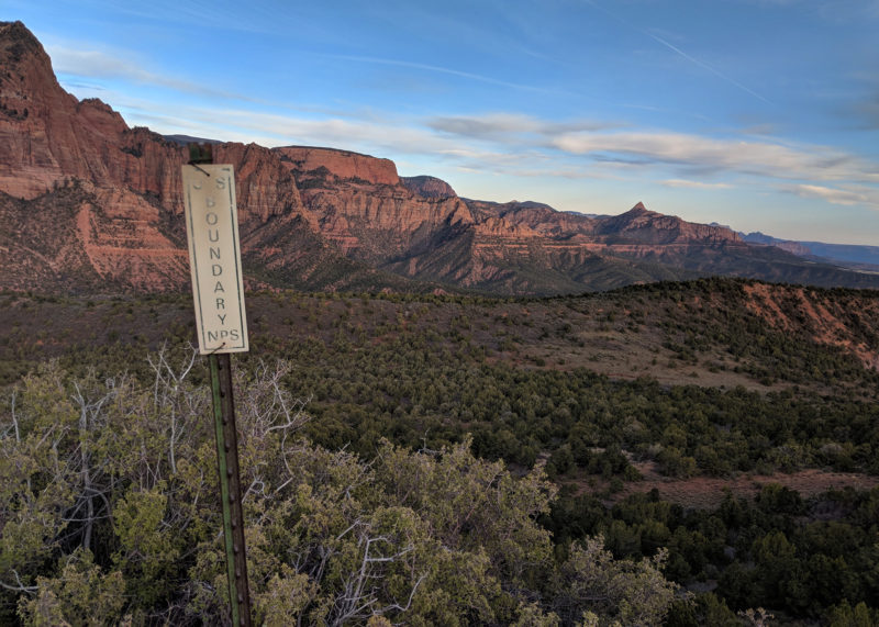
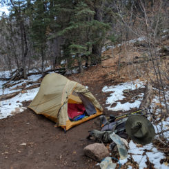
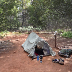
NOTE: camping along the entire western portion of the Zion Traverse is by permit only and at designated locations (with the exception of the Wildcat At-Large Zone.) There are a few opportunities to camp outside the park boundary on BLM land, but the logistics are difficult, so secure a permit if possible.
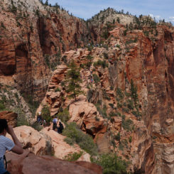
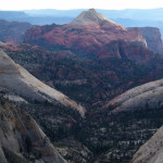
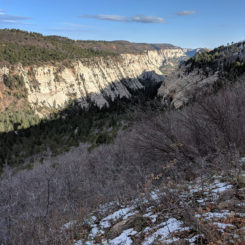
Just past the camps is a junction where an alternate route goes to the right and up Telephone Canyon which then reconnects with the West Rim Trail in a few miles. Though this route is actually shorter, I strongly don’t recommend it as the views along the main route are just too awesome. Instead stay on the main route which heads left and up a cliff to then follow the edge of the plateau. Soon one will have a great look down into Behunin shortly followed by an impressive view into Heaps Canyon:
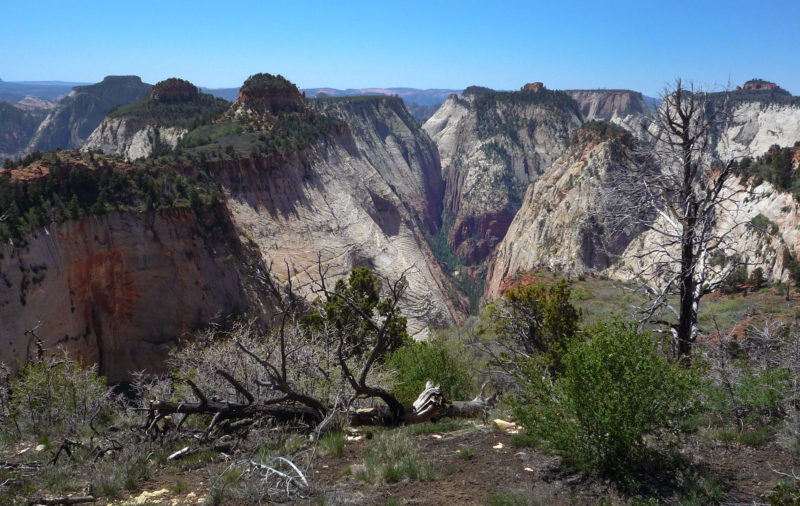
Heaps Canyon View
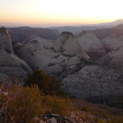
After another short climb the route begins to top out and one will pass two more designated camping areas in a forested area. In just about another 1/2 mile the views of the West Rim dominate one’s perspective. It’s one of my favorite views in Zion.
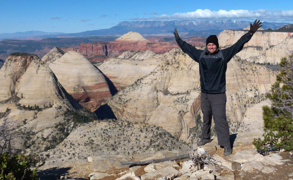
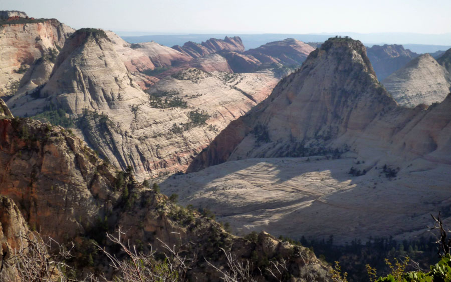
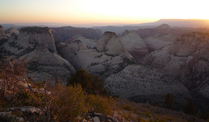
It’s an awesome place to see the sun go down if you are lucky enough to get designated camp #5 or #6 which is just a short distance ahead. The lights of St. George and area are visible after dark from here as well.
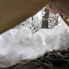
From there the route is re-joined by the Telephone Canyon route and then descends into a gully before climbing up again. There are still great views to the west for this entire stretch. Then the route descends a steep north-facing forested area which is likely to be snowy/muddy early in the season before opening up to the Potato Hollow flat area. There are two more designated camps in this area along with a fairly reliable water source. With a short diversion there are good views of Imlay Canyon which falls away to the east.
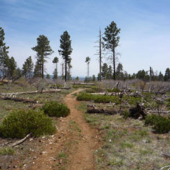
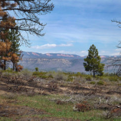
From here the route makes a short climb up and then winds along the top of the plateau for several miles headed north. This stretch is fairly fast walking through a sparse forest which has been subject to forest fires a few times in the past 30 years. The Pink Cliffs can be seen in the distance to the north. Also make sure to spot the unmarked Left Fork Overlook (aka the Subway) which will be on left side of the trail.
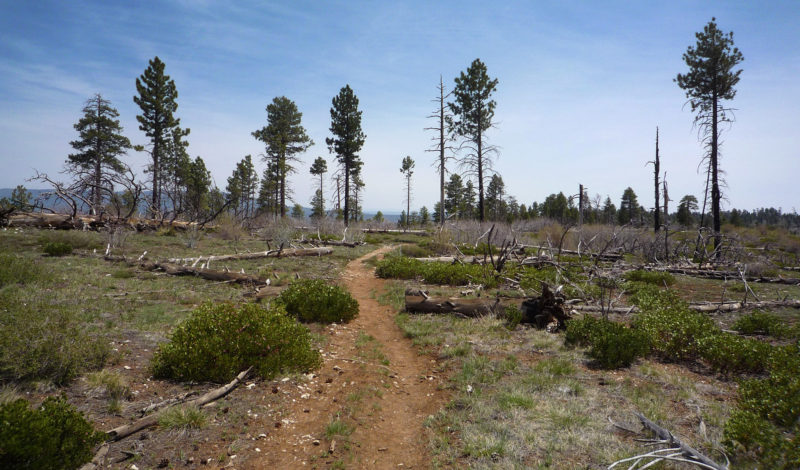
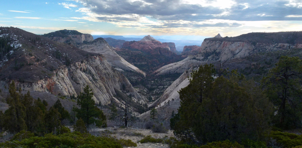
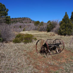
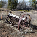
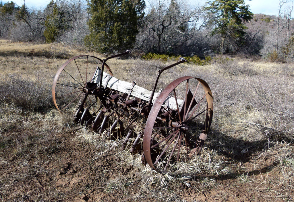
After a few miles of fast walking a spur trail heads west to a the small Sawmill Spring and the final designated camp along the West Rim Trail. Just past this area is a flat area and trail junction. Thru hikers want to turn left here onto the Wildcat Trail instead of the trail to the right which heads up to Lava Point and the car camp near there. As one heads toward Wildcat Canyon you there is an old hay baler from generations ago. Everybody seems to take a picture of it (so I did too!)
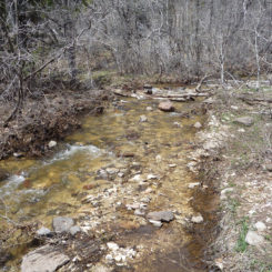
From here the trail quickly drops down into Wildcat Canyon. At the bottom is Blue Creek which is usually dry unless it’s been a really wet spring. This also marks the beginning of the Wildcat At-Large Zone for camping. There are a few sites in the bottom of the canyon, but not too much to choose from.
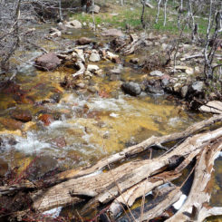
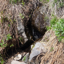
As one makes their way up and out of Wildcat Canyon through a jumble of basalt blocks, there is a spring on the right. This is Wildcat Spring and it is fairly reliable despite the flow which isn’t that strong. There is no good camping along this stretch.
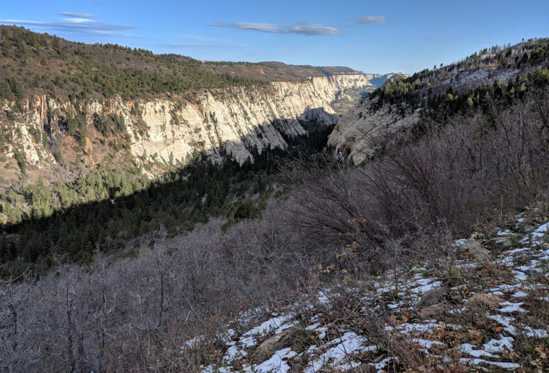
Wildcat Canyon
Once one is up to the rim there are a few other camping opportunities hidden back in the forest. Otherwise keep making your way toward the Northgate Peaks area where there are a few more options before the end of the camping zone near the spur route to the peaks. Just past this is another trail junction. Go left to continue the Zion Traverse along the Connector Trail. The trail to the right goes to a trailhead at the park road. There’s a small parking area and pit toilets located there.
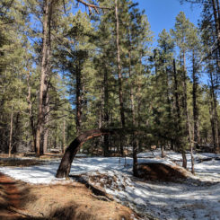
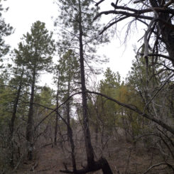
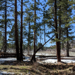
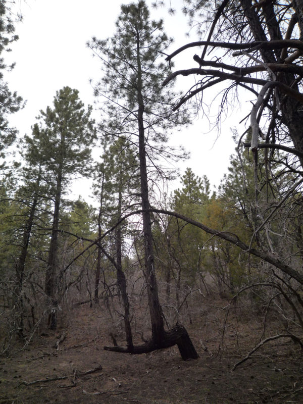
The Connector Trail makes its way through the forest headed toward Pine Valley Peak. Along the way keep an eye out for several “crazy” trees which have been bent over and then continued growing to have branches become the main tree. Not sure if this was caused from snow, fire, ground creep, or something else — but it’s a cool sight and such a strange phenomenon.
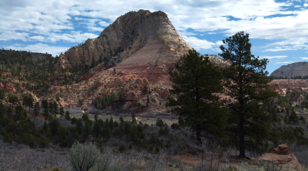
The route then runs alongside Pine Valley Peak before descending some slickrock before turning west and heading out to cross the Kolob Terrace area. You will cross a few streambeds along the way. If it’s early in the season one is likely to find water here. The views back to Pine Valley Peak are worth a look.
It’s fairly quick walking through the sagebrush pasture with nice views extended all the way south to the West Temple. There are some private parcels of land in the area which were “grandfathered” into the park, so make sure to not wander too far from the trail w/o a proper map.
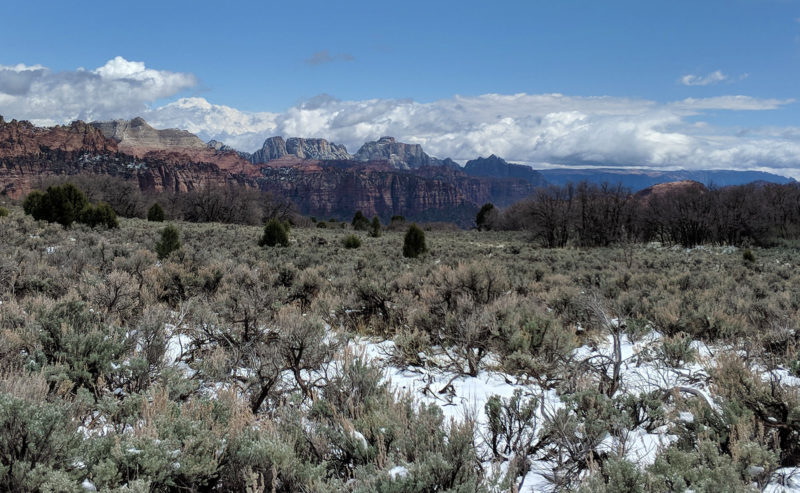
along the Connector Trail
Soon one will cross the Kolob Terrace Road and then arrive at the Hop Valley Trailhead and parking area. One will find trash cans and pit toilets here, but no water. The Hop Valley trail runs north here toward… you guessed it… Hop Valley. After passing the ancient cinder coned named Firepit Knoll, it’s a few miles to where the route drops into the valley itself.
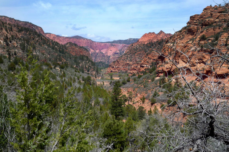
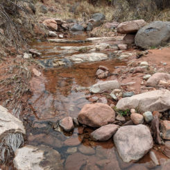
Once down in Hop Valley one will find a flowing stream. Horses and and cattle frequent this area (again related to “grandfathered” private parcels within the park) so many prefer to not drink the water here. However, I’ve sampled it many times w/o complaint or repercussions (filtered of course).
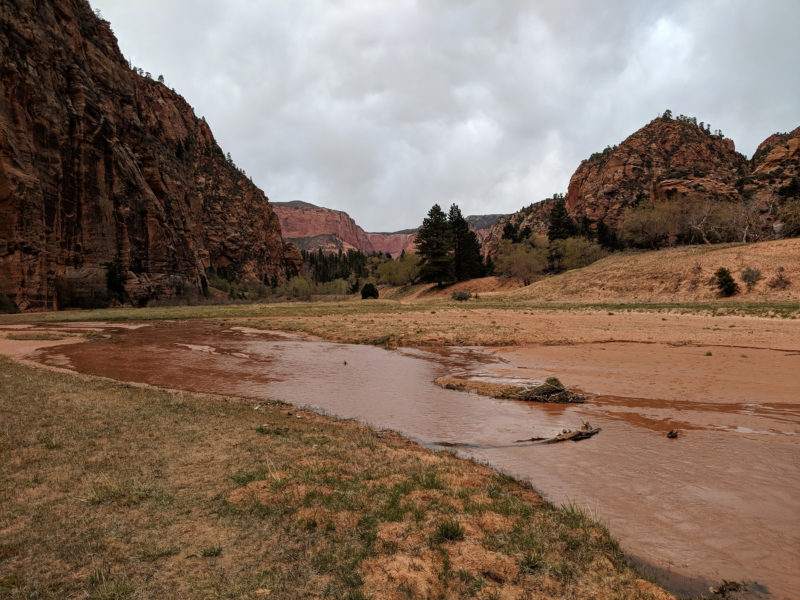
Hop Valley
There are 2 or 3 designated campsites at the northern end of the valley (the number seems to fluctuate based on use.) Once past the site the trail winds up a knoll into a forested area before abruptly dropping into La Verkin Creek Canyon.
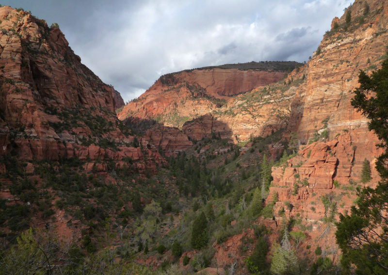
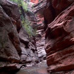
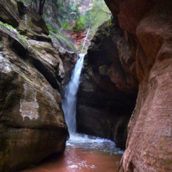
About half way down the cliff there is a trail junction. The main route continues to the left, whereas the spur trail to the right goes to more designated camps and a fun diversion to Bear Trap Creek Canyon where one will find a short set of narrows which end at a waterfall.
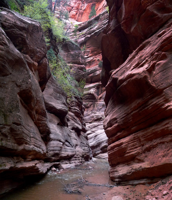
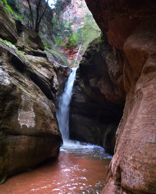
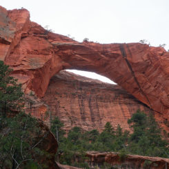
Back on the main trail one soon arrives at the bottom of the cliff and crosses the La Verkin Creek. Then just a short distance down canyon one comes to another junction. This time it’s for the spur route to Kolob Arch. It’s definitely worth the short diversion to see the 287′ span which is the second-largest arch in the United States (behind only Landscape Arch at 290′).
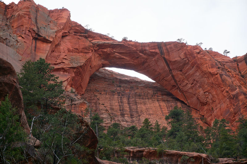
Kolob Arch
Back on the main trail and headed west the route meanders along the north side of the La Verkin. There are more designated campsites along the way — at least one on the south side of the stream.
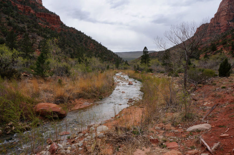
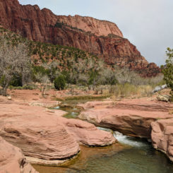
In less than two miles from the spur to Kolob Arch, hikers comes to a nice rapids/falls area where the La Verkin crosses some slickrock.
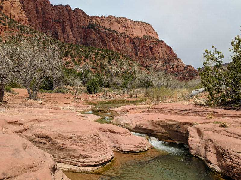
La Verkin Creek
After this spot the trail climbs a bench as it rounds a corner and heads north. Once over the bench the route drops down into the drainage alongside Timber Creek. The final two designated camps are in this area.
NOTE: in this area it’s possible to take a rough cross-country route west up to Black Ridge near Pace Knoll. From the top are great views of the Kolob Canyons as well as the Pine Valley Mountains to the west. From there one can descend to the the west to get down to Interstate 15. This route might be of interest if one is continuing their hike beyond Zion. This is a fairly tough route though, so even though it’s shorter in mileage one may not save much time in the long run. An added perk however is that the top area is BLM land so camping is allowed w/o permit.
View east from Pace Knoll
If still on the main trail it’s about another 3 miles along Timber Creek and then up a hill to get to Lee’s Pass Trailhead and the end of the Zion Traverse!
That marks the end of the adventure for most, but if not follow the road approximately 3 miles down to the park entrance. From there one can head to St. George, or Nevada… or beyond!
🙂
Video Reference (from West to East):
Gallery:
- Angels Landing from near the start of the West Rim Trail
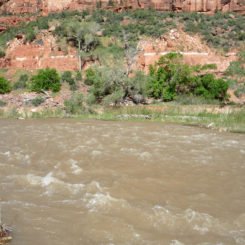
- Virgin River with spring runoff
- top of the initial switchbacks
- looking back at Zion Canyon
- Refrigerator Canyon
- looking down Walter’s Wiggles
- the sign at spur route to Angels Landing
- Angels Landing | The Zion Traverse ⮞⮞⮞
- on the isthmus
- Angels Landing
- Angels Landing
- top of Angels Landing looking upcanyon
- Top of Angels Landing
- top of Angels Landing looking downcanyon
- headed down Angels Landing
- West Rim Trail | The Zion Traverse ⮞⮞⮞
- Walter’s Wiggles
- creative trail marker
- West Rim Trail
- West Rim Trail climbing the White Cliffs
- along the West Rim Trail
- Camp #2 West Rim
- Cabin Spring
- Cabin Spring Deer
- above Behunin Canyon
- Heaps Canyon View
- West Rim Camp #5
- West Rim
- view along West Rim
- view along West Rim
- view along West Rim
- West Rim tree
- view along West Rim
- view along West Rim
- West Rim sundown
- West Rim sundown | Around-Zion Hike ⮞⮞⮞
- city lights from West Rim
- Potato Hollow
- Potato Hollow
- Left Fork View
- Left Fork View
- Left Fork View of South Guardian Angel
- upper West Rim Trail
- Pink Cliffs from West Rim Trail
- Lava Point and the old hay baler
- old hay baler near Lava Point
- Blue Creek
- Blue Creek
- Wildcat At-Large Camp
- Wildcat Camp (rim)
- Wildcat Spring
- Wildcat Spring
- Wildcat Canyon
- Wildcat spring snow
- crazy trees on Kolob Terrace
- crazy trees on Kolob Terrace
- crazy trees on Kolob Terrace
- view of West Temple
- Pine Valley Peak
- Kolob Terrace stream
- snowy Connector Trail | The Zion Traverse ⮞⮞⮞
- Red Butte after April snow | The Zion Traverse ⮞⮞⮞
- along the Connector Trail
- snowy trail near Firepit Knoll | The Zion Traverse ⮞⮞⮞
- Snowy exit from Hop Valley
- Hop Valley View
- Hop Valley
- Hop Valley
- Hop Valley Camp
- Hop Valley camp | The Zion Traverse ⮞⮞⮞
- Hop Valley from the north
- view into La Verkin Cyn
- Bear Trap Creek Narrows
- Bear Trap Creek Falls | Zion
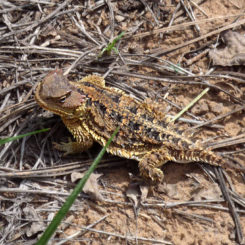
- Horny Toad
- Kolob Arch wide
- Kolob Arch | The Zion Traverse ⮞⮞⮞
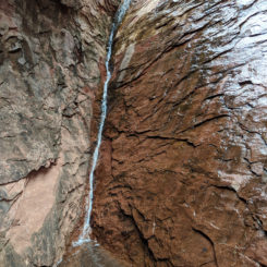
- trickle falls near Kolob Arch | The Zion Traverse ⮞⮞⮞
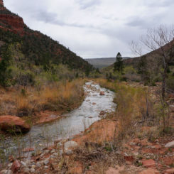
- Along La Verkin Creek
- La Verkin Creek
- Timber Creek
- camp near Timber Creek
- Kolob Canyons from park road
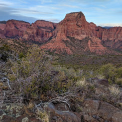
- Kolob Canyons from Pace Knoll
- Kolob Canyons from Pace Knoll
- looking southwest from Pace Knoll
- Pace Knoll looking north | The Zion Traverse ⮞⮞⮞


