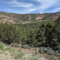
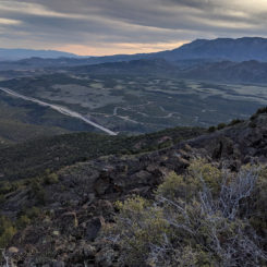
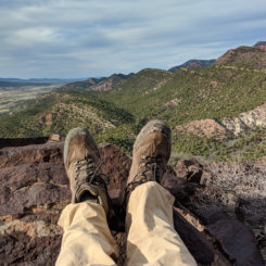
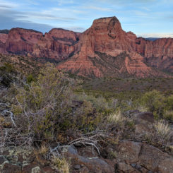
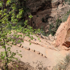
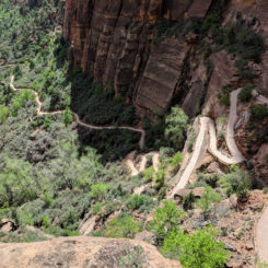
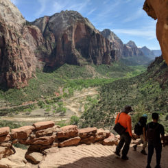
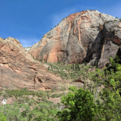
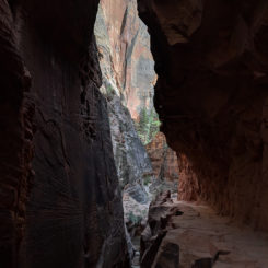
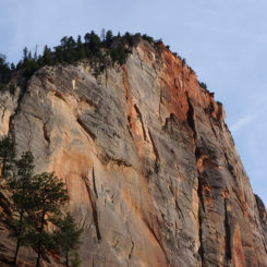
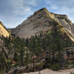
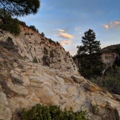
Below is the Daily Journal for this segment of the hike. Alternatively click any thumbnail to jump to:
(previous: Zion to Arches Overview || next: The Barracks)
Part 1: The Zion Traverse
April 18, 2018
Day 1
After a LONG day of driving around southern Utah and putting out caches, I slept in a bit and then left my Kanab motel mid-morning. After putting out one more cache near Dianas Throne, I headed into Zion. After a slow drive through through the park, I stopped at the visitor center and picked up my permits for the beginning part of my hike. After dropping of my Jeep at my buddy’s place, he shuttled me to the Black Ridge exit off I-15 where I would begin my hike mid-afternoon. Finally — ready to set out!
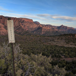
I’d always wondered if it was possible to access the Kolob Canyons part of Zion via a cross-country route from this area. Even though I didn’t have any beta on the route, I thought I’d give it a try. I don’t usually like beginning a big hike with anything too challenging/unknown, but I’m glad I did this time as it made for a unique day 1. The route up was a steep and brushy scramble to the top of Pace Knoll — but the views on top were great. Camped in a crazy wind storm just outside the park boundary.
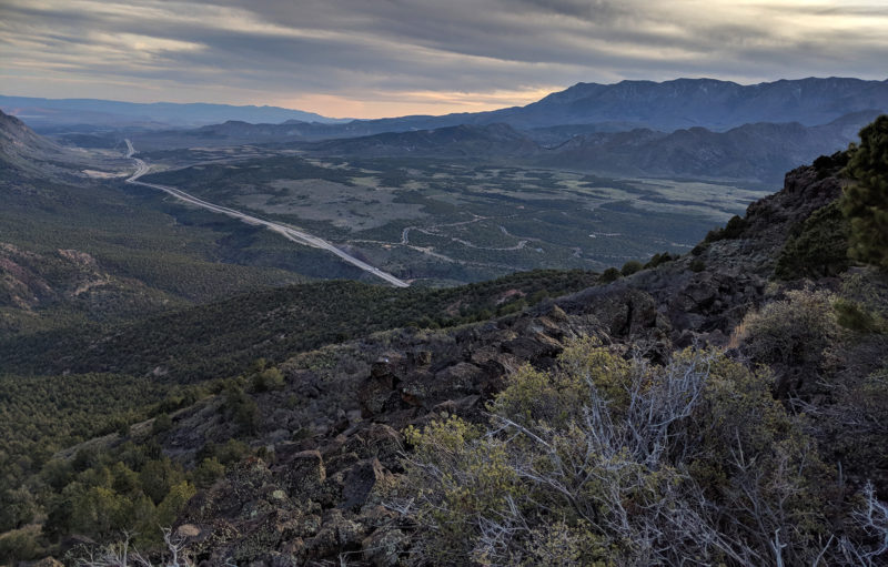
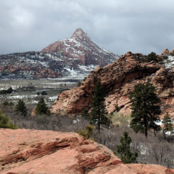
view south/west from Pace Knoll
Day 2
Made my way down through more brush to get into the park and then soon picked up the real trail near Timber Creek. I’m glad to know the route via I-15/Pace Knoll is possible, but I really wouldn’t recommend it in most cases.
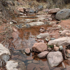
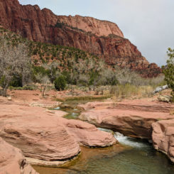
Once on the trail it was a quick walk down and around the bend to La Verkin Creek and the scenic cascades. I set up the camera and took a a bunch of shots for what would end up being the beginning of the video.
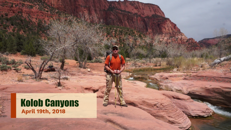
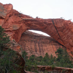
Made quick work up alongside the creek to the junction of the side canyon which leads to Kolob Arch. I dropped the bag and headed up to see the arch and spend some time in this great area.
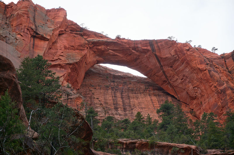
Kolob Arch
Back at my bag the trail soon crosses the creek and then climbs up the southern side of the canyon where there is a fork in the trail. To the left leads farther up the canyon, but I would go to the right and keep climbing up to Hop Valley.
Late in the afternoon the clouds had moved in and a cold wind was gusting. There was a chance of snow in the forecast, but I didn’t expect…
Day 3
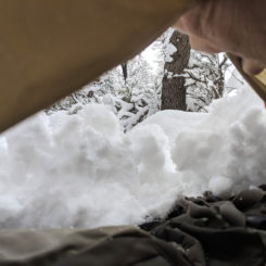
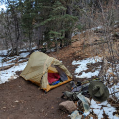
… to wake up in a tent COVERED in snow.
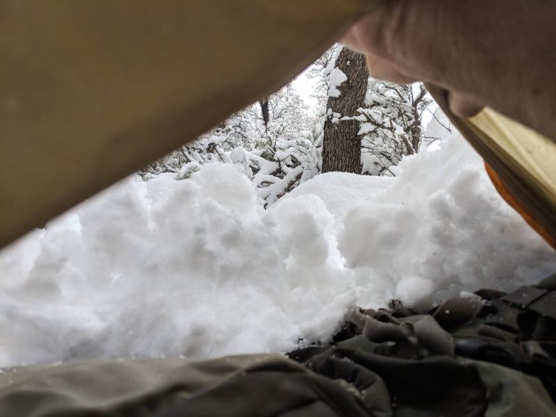
This was a first for me in all my travels. It was actually quite cozy inside my tent, but I dreaded getting outside as the snow was still coming down. By mid-morning I knew I just had to get up and go as the snow was not showing any signs of stopping.
I packed up camp — a difficult process with nearly everything outside covered in about 4″ of snow. I would later realize that I lost part of my water filter and an extra bottle here — presumable covered in snow beside my tent. Ugh.
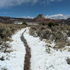
Soon the snow stopped and by the time I got to the Connector Trail the sun had popped out.
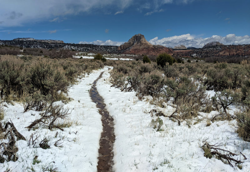
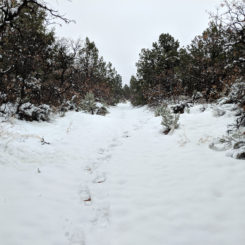
snowy Connector Trail
The melting snow made for a sloppy mess of a hike up past Pine Valley Mountain and up to Wildcat Canyon. I passed one other group of backpackers before making camp myself in the Wildcat Zone at the bottom of the canyon. I was glad to find a snow-free patch to make camp, though with much of my gear somewhat wet — it would be a cold night!
Day 4
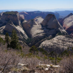
It had been a cold night and it was slow to warm in the morning. To my surprise, nearly all the snow was gone by the time I climbed out of the canyon and up to near Lava Point where I would follow the West Rim Trail south. It was a fairly easy day of walking as I was only going to Camp #2 at the southern end of the plateau. I was happy there was water in Potato Hollow along the way. The views from the West Rim are always amazing, but since I wasn’t able to get a camp along the best portion of the trail I was in the best part with mid-day sun which isn’t great. The view along the the southern section into Phantom Valley and Heaps Canyon still amazed though.
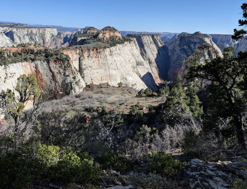
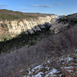
view into Heaps Canyon
Day 5
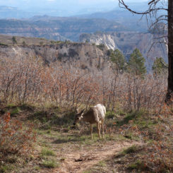
Shared my camp with a bunch of deer and then after filling up my water jugs at Camp Spring I headed down the West Rim having fun shooting video. As I was setting up one shot I started talking to a couple and soon realized they were going the WRONG way. I helped them get orientated back towards Zion Canyon. They were grateful.
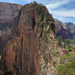
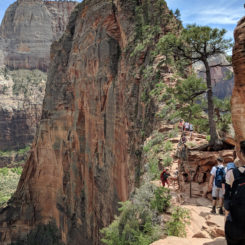
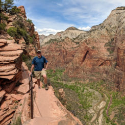
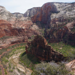
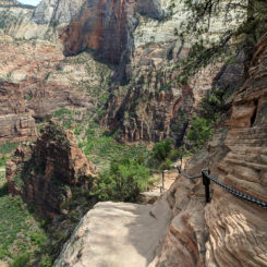
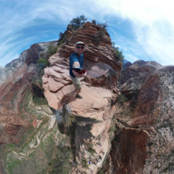
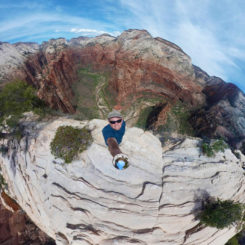
Even though I knew it was going to be a long day — I still opted for the side hike out to Angels Landing. It’s such a great hike and even though it was more crowded than I’d ever seen it — it still wan’t as bad as some had warned.
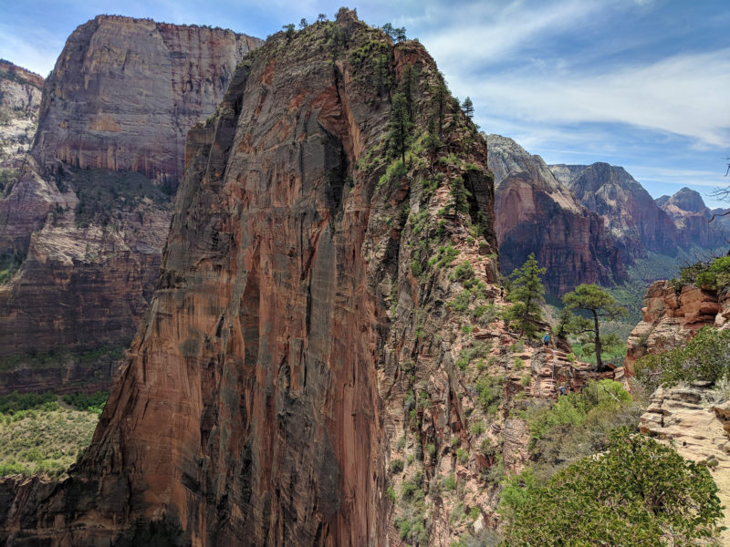
Angels Landing
Once back down from Angels Landing it was a quick walk down Walter’s Wiggles and to the Grotto Trailhead where I got rid of some trash and re-filled my water jugs with good water and enjoyed some granola. Even though it was only day 5 of my trek, it already felt weird to be around so many people in what seemed like civilization. I didn’t linger too long before heading up canyon and beginning the climb up the East Rim Trail.
The climb up to Echo Canyon is a tough one — especially when loaded up with water and in the full sun late in the day. I stopped a few times for a break on the way up. I have a habit of just sitting right on the ground with my pack still on. This must have looked strange for the many people hiking down as several asked “are you OK?” I’d joke in return, “Yeah… is The Narrows this way?” 🙂
Pretty beat by the time I got above the slot part of Echo Canyon, I was ecstatic to find a tangerine somebody had presumable dropped. I took a break and ate it right then and there. It was awesome and gave me the boost I needed to keep climbing up and out of the canyon.
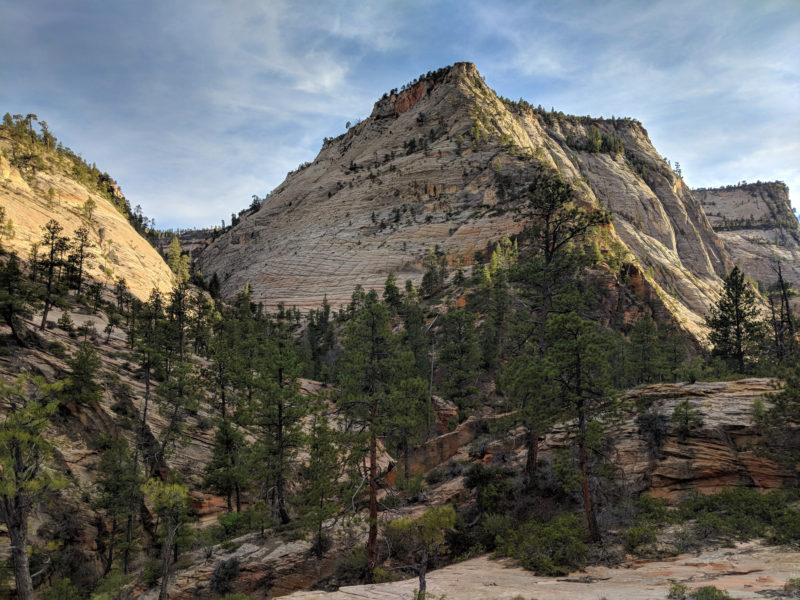
Once I got past the turn-off to Observation Point I didn’t see any other hikers until up on top. There I saw a group of three girls camped along the rim of Echo Canyon. They had a pretty great camp and were enjoying the great sunset. We chatted a bit and then I continued hiking until after dark where I got a less-desirable camp up on the mesa.
Day 6
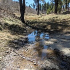
In the morning I headed over to Stave Spring where there were two couples ahead of me “in line” to get water. This spring has been occasionally dry in recent years, so I was glad to get the water — but the small trickle was so painfully slow that it took almost 45 minutes for my turn and then to fill up. Less than a half mile later headed out toward Cable Mountain I spotted a much larger outbreak outbreak of good water. Ugh. I now note this source as “Not Stave Spring” on my maps.
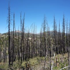
Continuing up the East Plateau was through a bunch of sun as there was evidently a fire here not too long ago. It was actually a fairly warm day — quite the departure from a few days back. The temperature made it even more odd of a sight when I came to a bunch of ice beside the trail. Not natural ice, but ice cubes as if somebody had dumped out a cooler. Very strange. I scooped up some of it that wasn’t dirty and added it to my bottle — it was quite luxurious!
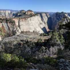
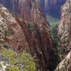
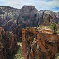
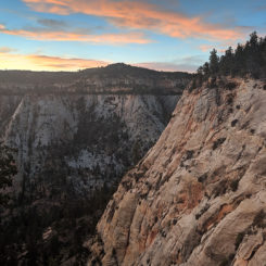
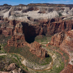
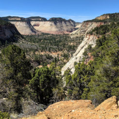
It didn’t seem like long at all and I was out at the viewpoint on Cable Mountain. It was my first time here and I’m really glad I did the side hike as the view was amazing! Looking down on Angels Landing and across to Observation Point was really a unique perspective. And that sheer drop down to Weeping Wall– Wow! — definitely not for those with a fear of heights.
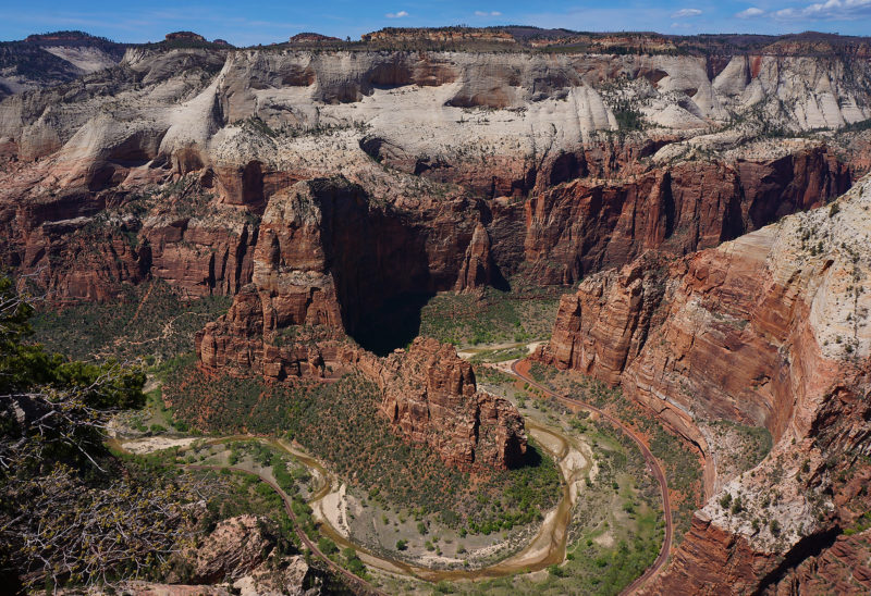
view from Cable Mountain
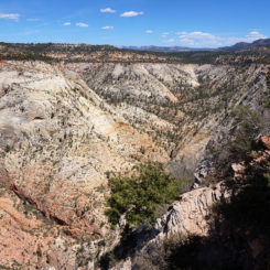
Back at the junction of Cable Mountain and Deertrap, I headed off-trail to the south. On previous dayhikes I’ve attempted to connect the Keyhole Canyon to the East Plateau. I’d never succeeded as it’s a bit tricky, but I thought I could do it this time from the top. Unfortunately — it didn’t happen. The terrain near the rim is tough to navigate with so much brush and cliffs. I tried to short-cut it a bit and ended up getting cliffed out. From where I stopped I could see Jughandle Arch as well as the error of my ways (I ended up farther east that I planned). By that time I thought I’d better backtrack to get back to the trail so that I did not get stuck somewhere illegal to camp. Next time!
Day 7
In the morning I made quick work of the remaining portion of the East Rim Trail and soon found myself down near the East Entrance where I was happy to find pit toilets and trash cans, but no water. But after a short road walk I stopped by the potholes near Checkerboard Mesa and filtered some water as I stopped for an early lunch. The Zion Traverse was complete and now it was time to head toward The Barracks.
Check out the full photo gallery below or continue reading the next section… Part 2: The Barracks.
Photo Gallery:
- ready to begin!
- view from Interstate 15
- looking southwest from Pace Knoll
- Pace Knoll looking north | The Zion Traverse ⮞⮞⮞
- Kolob Canyons from Pace Knoll
- View east from Pace Knoll
- Timber Creek
- La Verkin Creek
- Kolob Arch | The Zion Traverse ⮞⮞⮞
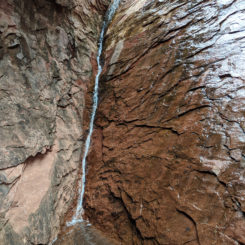
- trickle falls near Kolob Arch | The Zion Traverse ⮞⮞⮞
- Hop Valley
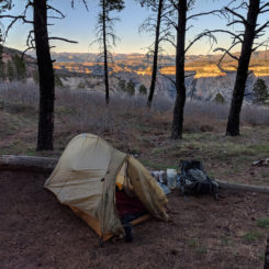
- Snowy Tent View
- Snowy exit from Hop Valley
- Red Butte
- snowy Connector Trail | The Zion Traverse ⮞⮞⮞
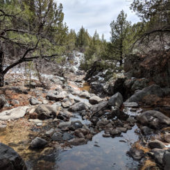
- Kolob Terrace stream
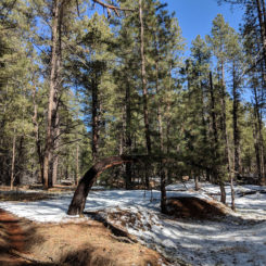
- crazy trees on Kolob Terrace
- Wildcat Canyon
- Wildcat At-Large Camp
- Potato Hollow
- West Rim View
- view into Heaps Canyon
- Camp #2 West Rim
- Cabin Spring
- deer near Cabin Spring
- Walter’s Wiggles | The Zion Traverse ⮞⮞⮞
- Great White Throne
- Angels Landing | The Zion Traverse ⮞⮞⮞
- backlog on the route
- on the isthmus
- looking down on The Organ
- Angels Landing Chains
- Angels Landing 360
- Top of Angels Landing
- looking down Walter’s Wiggles
- Switchbacks
- looking back at Zion Canyon
- looking up to Cable Mountain
- Echo Canyon
- Cable Mountain from Echo | Zion East Rim ⮞⮞⮞
- Upper Echo Canyon | Zion East Rim Trail ⮞⮞⮞
- climbing out of Echo Canyon
- Nearing East Rim
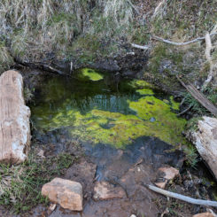
- “Not Stave” Spring
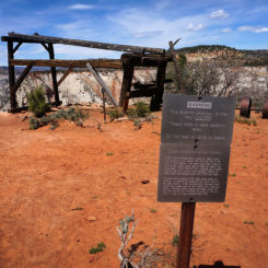
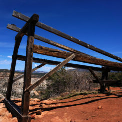
- Cable Mountain Ruins
- Cable Mountain | Zion East Rim ⮞⮞⮞
- view from Cable Mountain
- Echo Canyon from Cable Mountain
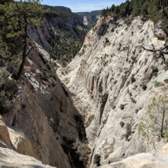
- upper Keyhole Canyon (no access found)
- looking down to Jughandle Arch (no access found here)
- fire damage along East Rim Trail
- Jolley Gulch
- descending into East Canyon
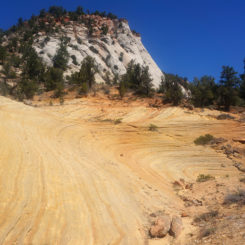
- cool slickrock | Zion East Rim Trail ⮞⮞⮞
- potholes near Checkerboard Mesa


