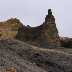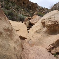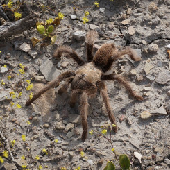
Mr. Tarantula
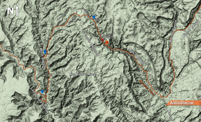
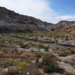
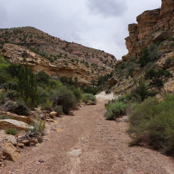
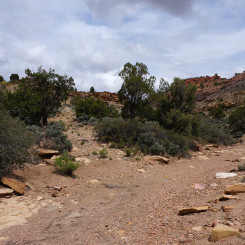
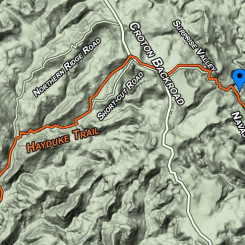
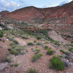
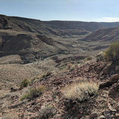
Navajo and Reese Canyons are two remote canyons on the Kaiparowits Plateau. Their inclusion in Section 7 of the Hayduke Trail makes the inner portion of a big “W”-looking pattern on the map. At first I thought it might be better just to bypass the seeming circuitous route with its added elevation gain/loss and instead just connect via Croton Canyon and the bottom portion of Last Chance. Though that alternate might be a little faster, it is actually ever-so slightly longer and arguably not as scenic. So, sticking to the official route below details what hikers can expect while traveling east to west.
After Haydukers have descended Monday Canyon and the short boulder-filled stretch of Rogers Canyon with its cow-polluted water, it’s time to head up Navajo Canyon. Watch the map for a big bend in Rogers as you approach Navajo. From here it’s possible to exit the wash and short-cut over to Navajo saving almost a mile in walking.
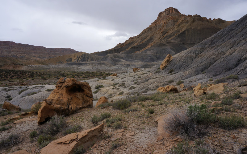
shortcut to Navajo
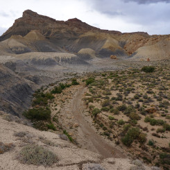
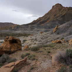
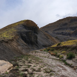
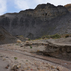
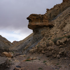
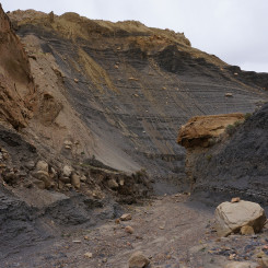
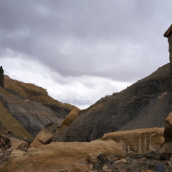
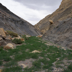
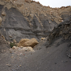
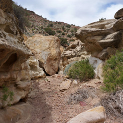
Head up the wide-open lower Navajo Canyon. Spring flowers may dot the mudhill landscape, but otherwise this is a pretty barren landscape. Soon the canyon begins to narrow and the rock turns a charcoal black. The eerie landscape features pillars and hoodoos which resemble the burnt-out ruins of an ancient city — or maybe that was just my imagination.
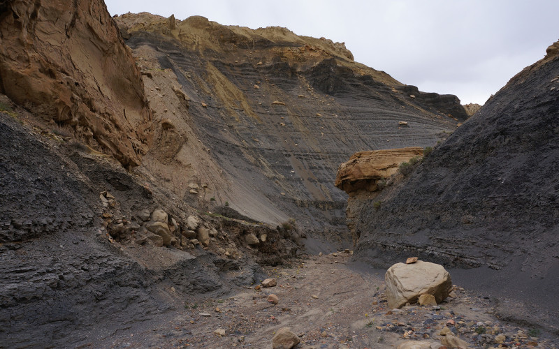
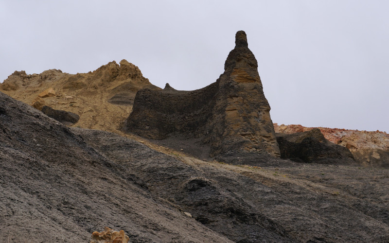
strange black canyon
While headed up Navajo watch the map carefully. There are a few side canyons along the way which could be mistaken for the main route if not paying attention.
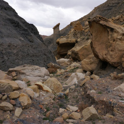
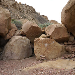
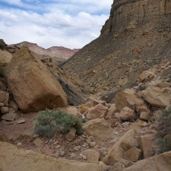
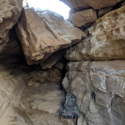
Before too long the canyon changes to a boulder-filled drainage which requires quite a bit of scrambling. Shorter hikers might need an assist at a few places, but no real technical climbing is involved.
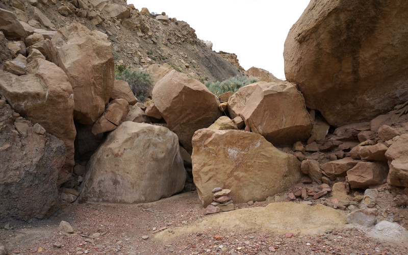
assist in boulder climb
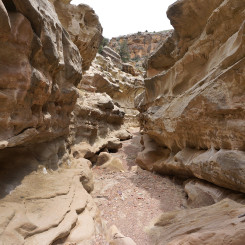
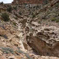
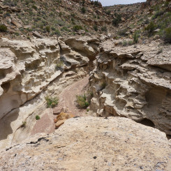
Above the tedious boulders, the canyon cuts through a layer of bedrock and forms a nice set of narrows. Unlike most narrows which have smooth, sculpted walls, the geology here creates jagged, erosion-carved walls making for a unique sight.
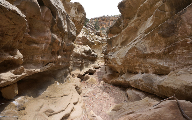
the narrows
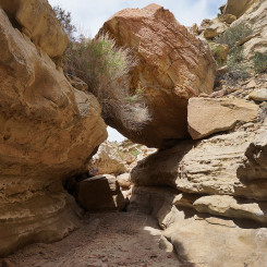
In the narrows a few spots may require minor scrambling along the way. One will pass under a huge chockstone shortly before coming to the end of the narrows at a dryfall.
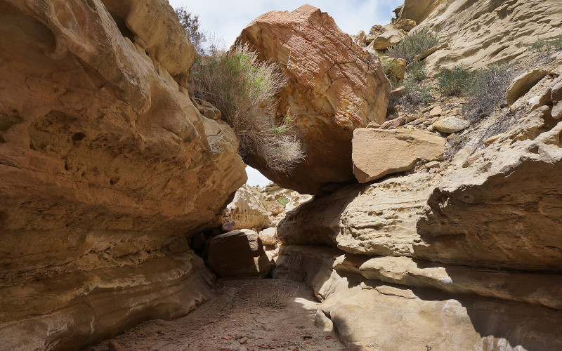
under a chockstone
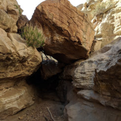
NOTE: canyons are always in flux. This spot in 2018 required climbing OVER the chockstone as a 12′ drop had been scoured out underneath.
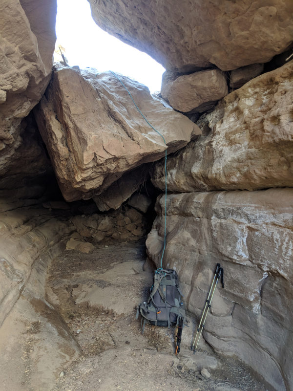
underneath in 2018 — best route was to back up and then climb over the upper chockstone
Farther up canyon is the exit from the narrows. To get out it’s necessary to climb up beside a huge slanting boulder. It’s not too tough, but a rope to pull the pack might help. If heading downcanyon the drop may seem intimidating at first, but don’t fret, it’s not that bad once you find the correct spot.
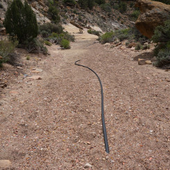
Continuing up canyon the walk can be frustrating as the wash consists of fine rocks which give underfoot much like sand. You will likely see some abandoned waterworks along the way.
Just before the junction where you will head left to Surprise Valley, notice the increased brush in the area. If low on water seek out a small seep below the eastern wall. This seep is likely to be seasonal only.
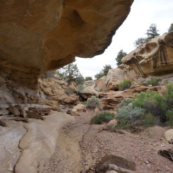
Up from the junction the route climbs through an area with a couple of overhangs which might make for a good camp. Shortly above that one enters Surprise Valley and will spot an old road exiting the wash on the left.
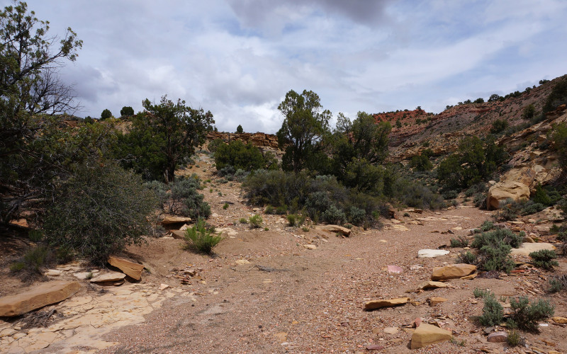
road leaving in lower Surprise Valley
Take this road and climb all the way up to the top of the ridge and find the much-more-traveled Croton Road. Go right.
In about a 1/4 mile one might spot faint road entering from the left. This is not the official Hayduke route, but is probably a better option. The official route leaves the main road in just another few hundred yards where the authors suggest to “leave the (Croton) dirt road and follow this drainage” with a line along the drainage bottom. The old road merely follows above this drainage and is likely a much faster route until it enters the drainage bottom itself in less than a mile.
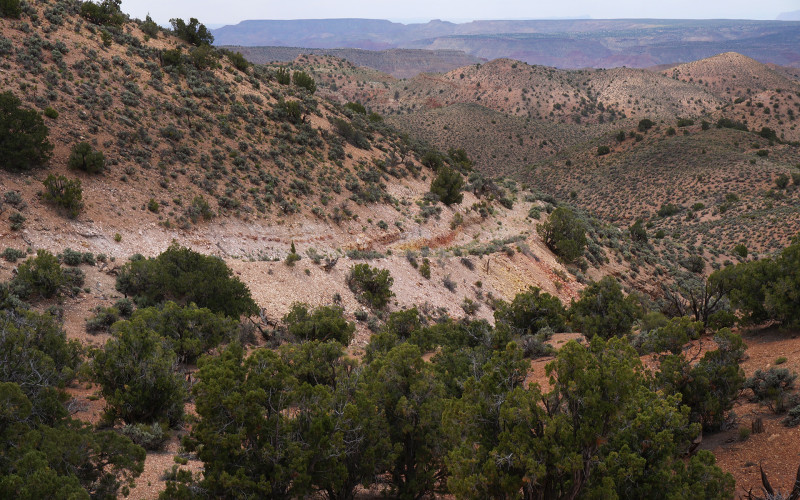
official Hayduke descent (note better road option visible)
Another option which I have done is to continue on the Croton Road for about another 1/4 mile where one will see another faint road entering on the left. This road follows a prominent ridge-line all the way down before intersecting with the previous drainage on the official route. This short alternate is about 1/2 mile longer, but I enjoyed the wide-open views along the ridge and the sense of remoteness.
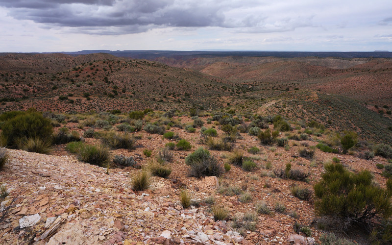
along the northern road ridge
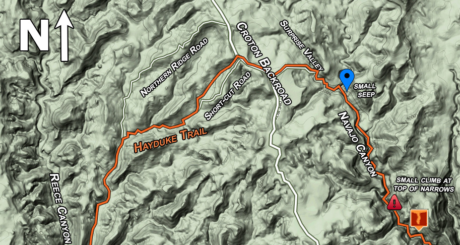
detail of ridge area
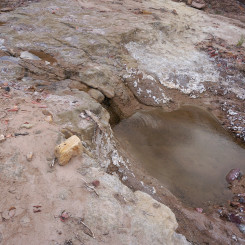
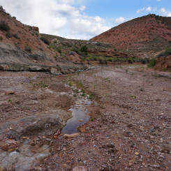
From this junction continue on down the drainage until it intersects Reese Canyon where one may or may not find small outbreaks of water depending on the season.
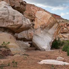
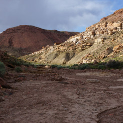
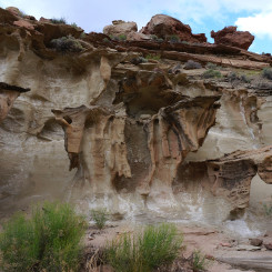
The walk down Reese is quick and fun. The wash is surrounded by the Burning Hills which are various shades of red and yellow. There is some interesting rock formations along the way as well.
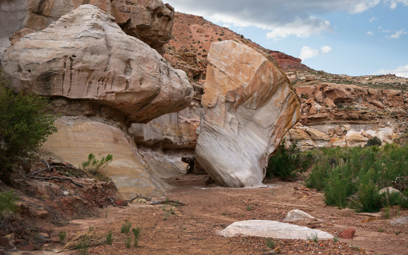
fallen boulder in Reese Canyon
NOTE: in this area it’s possible to take the Reese Saddle Shortcut. One can climb up the steep slopes to the west and go over the saddle connecting Last Chance Wash. The rugged route saves about 4 miles, but involves an approx. 750′ elevation gain/loss. See Hayduke Interactive Map for reference.
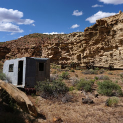
Continuing down canyon one soon one arrives at the old corral and line shack/trailer at the junction of Reese Canyon and Last Chance Wash.
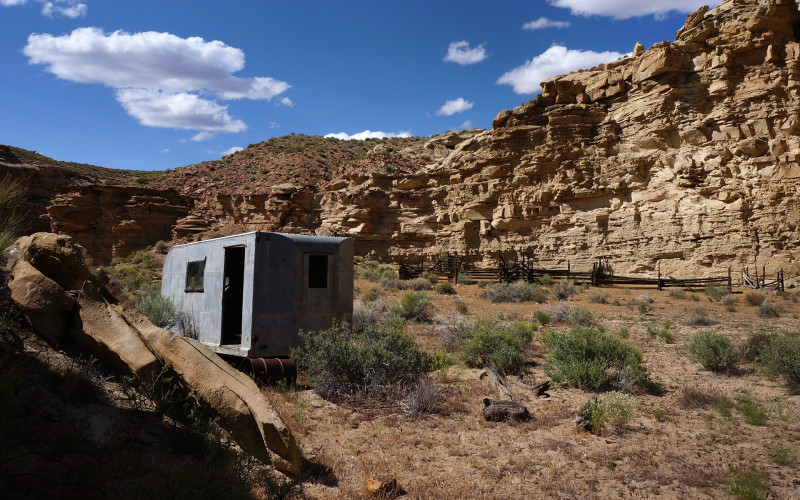
old line shack and corral at Reese / Last Chance junction
There might not be water immediately at Last Chance, but it should start to appear within a mile or so up the canyon.
Gallery:
- area map
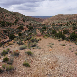
- Exiting Rogers
- lower end of canyon | Navajo Canyon ⮞⮞⮞
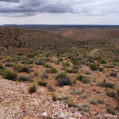
- Mr. Tarantula
- lower Navajo Canyon
- entering weirdness | Navajo Canyon ⮞⮞⮞
- black cliffs
- balanced rock
- black rock
- strange black canyon
- looking down canyonn
- assist in boulder climb
- hopping boulders
- more boulders
- the narrows
- under a chockstone in 2015
- chockstone in 2018
- under chockstone in 2018
- big boulder at top of narrows
- overlooking narrows
- drop at top of narrows
- upper Navajo
- old waterworks
- overhangs near bottom of Surprise Valley
- road leaving wash in lower Surprise Valley
- looking back down road exiting Surprise Valley
- the short-cut road
- official Hayduke descent (note better road option visible)
- north road option
- detail of ridge area
- along the northern road ridge
- lower along northern road
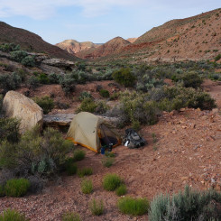
- Burning Hills camp
- road intersects with Reece Canyon
- water in Reece Canyon
- water in Reece Canyon
- fallen boulder in Reece Canyon
- Reese Saddle — looking to Last Chance via the shortcut
- red hill in Reece
- strange erosion in Reece Canyon
- old line shack and corral at Reece / Last Chance junction


