Continuing on my 5-day loop through the Escalante area, I packed up from my alcove camp in The Gulch and headed down canyon. The last stretch became somewhat brushy and not all that fun. Once at the Escalante River, I was surprised to see how much larger it seemed from where I left it at Boulder Creek. It was also opaque at this point.
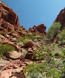 I headed down river — finding it much easier to just walk right down the middle than to try and find a route through the brush along the edge. After just a short ways I found the “standard” exit for Steve Allen’s “Ladder Route”. I filled up my water containers and then started the climb up the bit of a scramble up a talus slope of rocks. There may have been an easier way a little farther down the canyon around the next bend, but the chute I went up wasn’t that bad. Once up, it was a steady system of slickrock ramps. A few places it looked like I might become cliffed out — but there was always a way up.
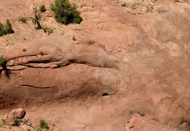
Up on top of the main canyon, I followed the southern edge of the side canyon for a ways. It was awesome to see the ladders across the canyon which give the route its name. I know things always look scarier from afar — but no way would I trust those old 20′ aluminum ladders to get up that slickrock face!
The route up and over the slickrock saddle was cool — and definitely a work-out on the legs. The top provided views of the Spencer Canyon area as well as the Red Breaks region. I contoured along the Spencer Canyon drainage wishing I had more time to go down in and explore.
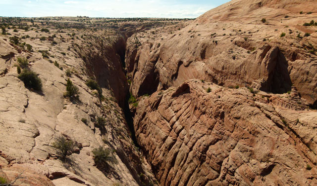
Spencer Canyon from above
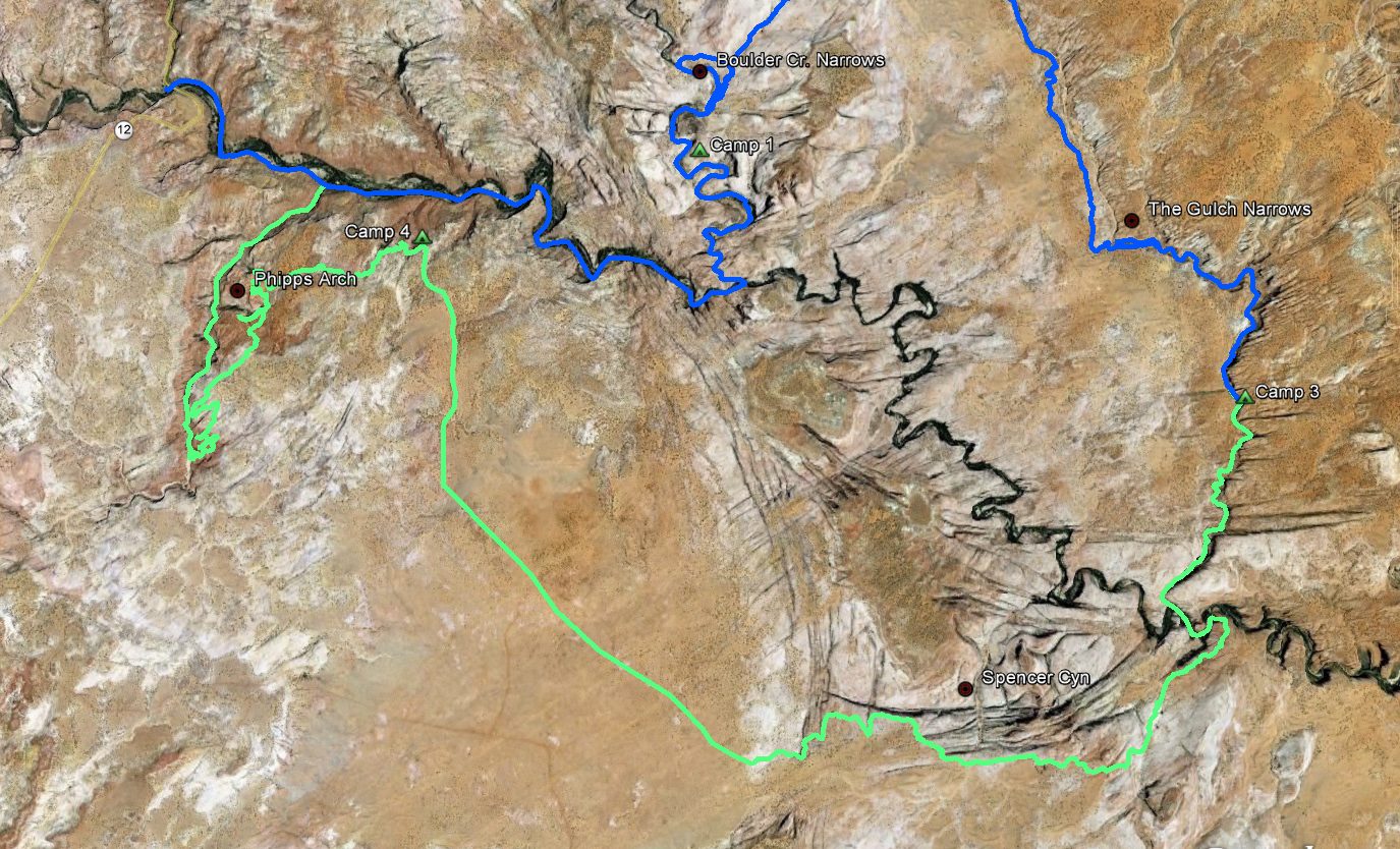
Then, I had a 4-mile slog across Spencer Flats. Nothing too exciting about this stretch of the day. I finally got the point overlooking the Phipps/Escalante junction where I made my final camp.
I expected my final day to be a fairly easy one, but it was far from it. I made my way over to area above Phipps Arch — but after almost two hours of trying to find a route, I could NOT get down to the arch. I didn’t really plan on taking this route, so unfortunately I didn’t have the maps/beta that I should have had — but I distinctly remember reading that there is a route up to and over the arch. Deflated I headed up the canyon in search of a route down.
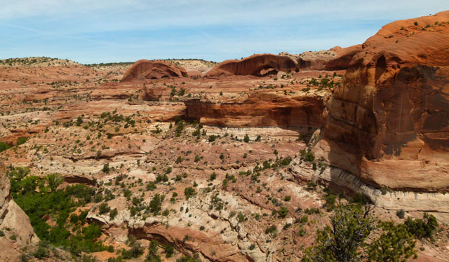
Phipps Arch from across the side canyon
With each small drainage I would try to find a way down, each time only to find a drop-off somewhere along the course. As the day got warmer, and my water was nearly gone, this became more and more excruciating. I kept rim-walking. Occasionally I’d drop down the steep slopes hoping for a route down, but I never found one… meaning I had to reverse course and climb back out multiple times. It was especially frustrating at one point when I could see cars along Hwy 12 in the distance across the canyon, but still no viable route down and across. After going many miles south, one attempt final yielded a steep slickrock ramp which went all the way to the bottom. Yay!
From here I headed down Phipps Canyon and was ecstatic to find a source of water not too much later. I filled up, then continued on down the canyon and within an hour or so I was back to the Escalante thus completing the loop. From here, it was just an easy walk back up river and back to the car — thus completing my explorations of southern Utah for this year.
It was a good hike. It was nice to do a loop for once and I definitely gained more data for another, future Across Utah hike!
My Route:


Pingback: Escalante Loop: Boulder Creek + The Gulch | Across Utah