The final six days of my 20-day hike from Zion to Capitol Reef.
FYI: a Route Map and Hi-res Gallery are available as well as the Hike Video!
.
Day 15
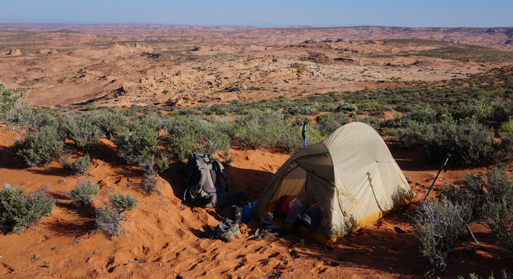
Awoke to a sunny day and shortly set out across the slickrock on a beeline towards Chimney Rock in the distance. According to Allen this is the ideal bearing to find one’s way into Hurricane Wash before looping back to Coyote Gulch. Turned out to be spot on.
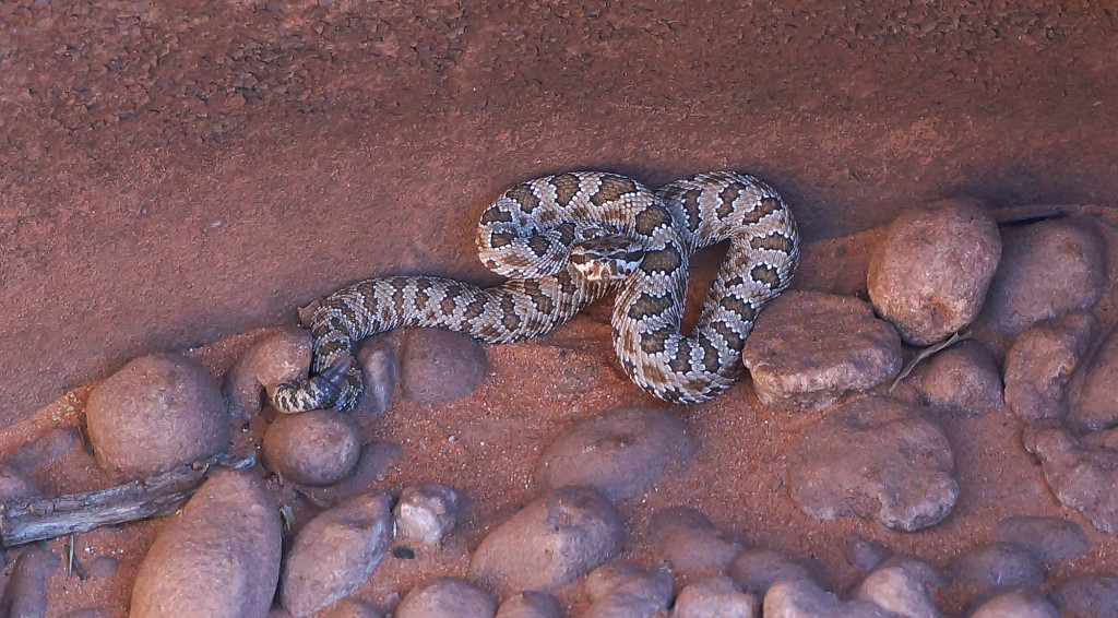
When I came across some potholes along the way I noticed a pygmy rattlesnake bathing it the sun. After taking a few photos I realized that he must be stuck in the pothole as there was no way for him to escape the sheer/smooth edges. Thus, I set out on a rescue mission. I spotted an old dead juniper not too far away and grabbed a few branches and brought them back to the pothole. I placed them inside in a way that the snake could climb them to escape. Not knowing I was trying to help, the snake awoke from its slumber and freaked out! It was the first time I’ve ever been struck at by a rattler! Luckily I was far enough back and the snake was so small it even missed the branch I was holding. He continued to rattle as I placed the branches in the optimum position so that (hopefully) once he calmed down he would find his escape.
Soon after that I dropped into Hurricane Wash. After a short set of narrows the canyon widened again and I came across a packrat lying in the wash. I presumed it to be dead, but when I got in for a pic I realized it was still breathing! (It’s animal rescue day!) I moved the little guy onto my hat and then transported him over to a shady spot out of the wash. I tried to give him some water too, but he didn’t really go for it and only wrinkled his whiskers some. Not sure if this guy was long for the world, but at least he might have a fighting chance in the new location.
Soon water began to run in Hurricane and instantly the canyon changes from a dry wash to a lush landscape overflowing with life. The canyon becomes more and more entrenched before meeting up with the north fork coming in from Red Well — this is now officially Coyote Gulch.
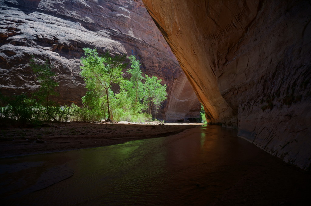
Soon I came to the huge undercuts. They are impressive.
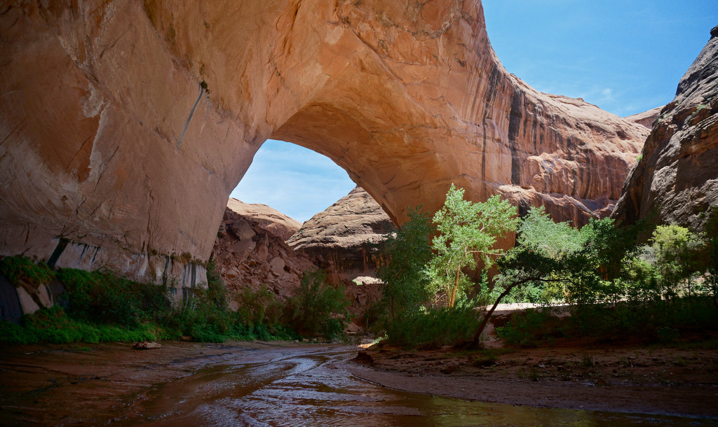
 Then, around another bend or two I see Jacob Hamblin Arch (aka Lobo Arch.) Also amazing. Pictures really cannot capture the true magnitude/beauty of this place.
On the other side of the arch I checked out the scramble route in/out of the canyon which climbs the southern wall near the outhouse. My assessment is as it was many years ago — not that bad, but definitely not for the uninitiated. I attempted the first pitch in my sandy/wet shoes and I slid like crazy. I’d heard a rumor that the park service had installed ropes here to help people out, but I saw no signs of that. I’d still not recommend this route for anyone who is not 100% comfortable on steep slickrock.
Continuing down canyon I eventually came to Coyote Bridge.
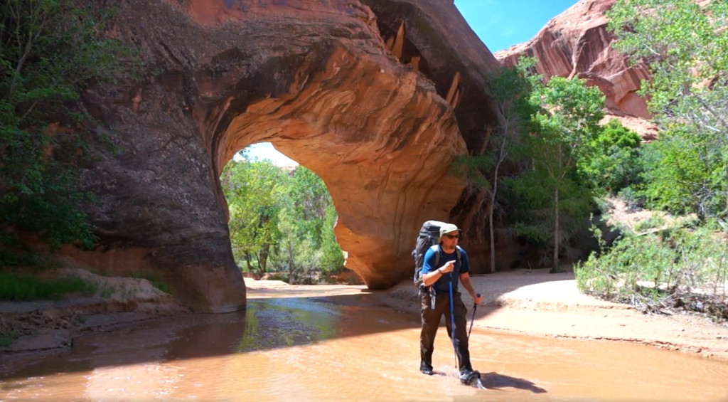
Below that I skipped the archaeology sites that I’d visited on a prior trip and instead opted to take the side hike up to what Allen refers to as The Black Pool. It was definitely a beautiful site and made for a nice swim — albeit a very cold and thus brief one!
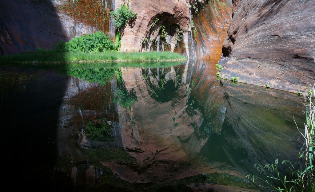
Lower Coyote Gulch is amazing. The only knock on this place is that the beauty attracts the masses. It’s known to be overcrowded in the spring, which is why I was surprised and pleased to only run into 5 other people on this glorious day in May!
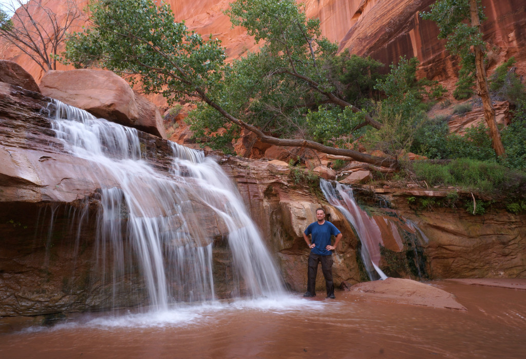
Below the waterfalls I climbed out of the canyon on the north slide and followed the route along the Kayenta ledges out toward Stevens Arch where I would make camp. It was a dry camp — but it was awesome!
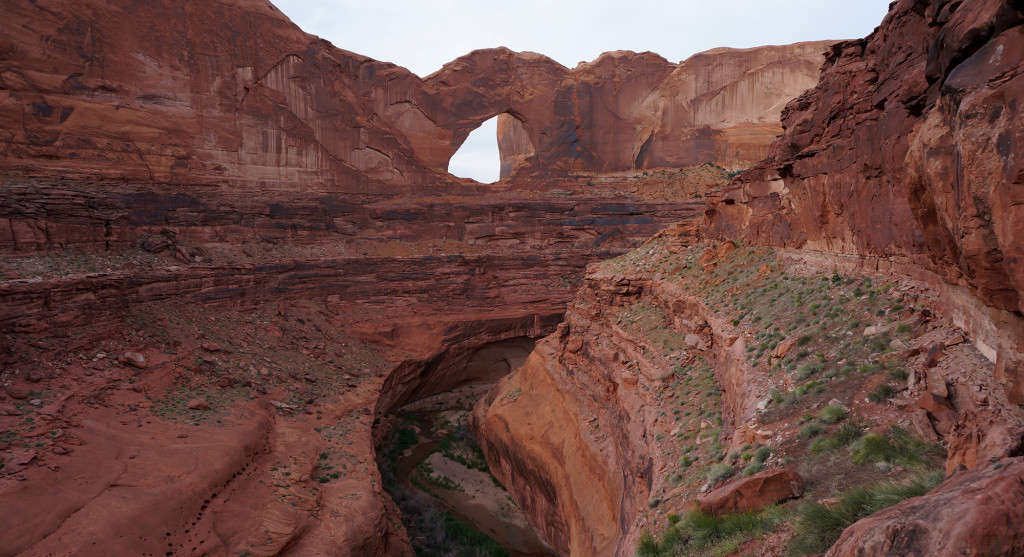
Day 16
In the morning I made my way along the ledges north before climbing down the first gully along a fairly well cairned route. Once at the river I went straight up the middle of the waterway to avoid the brush. Before long I was at the entrance to Stevens Canyon.
The lower part of Stevens is pretty incredible. The inner canyon is highly entrenched, but the higher walls are still visible and soar much higher. There are a few minor climbs that need to be circumvented, but nothing too bad. Even the “stack of rocks” climb didn’t pose much of a problem for this solo backpacker.
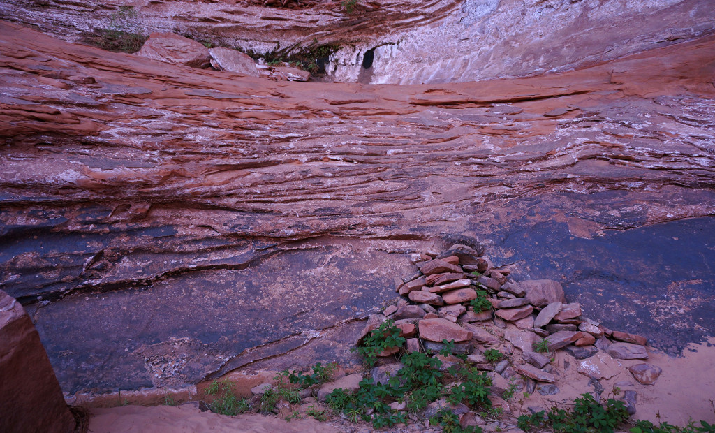
Upon arrival at “Poison Ivy Hill” I dropped the pack and walked back into the arch alcove dodging some poison ivy along the way. After a few photos, I tackled the hill itself. The lower portion was very muddy/slimy, but conveniently placed exposed roots provide the necessary hand-holds to get up the slick slope. Above the mud and vegetation the upper part of the climb is a steep talus slope with medium sized boulders. There was a fairly well defined route through this so it too didn’t prove to be a tough obstacle.
Shortly above the hill I ran into another person. It would be the only person I would see in Stevens Canyon and to make for crazy coincidence #2 of the trip — I knew him! It was a fellow hiker I’ve never met in person, but know from various conversations on hiking forums like backcountrypost.com. It was great chatting with him and we ended up hiking most of the rest of the day together as we moved up canyon.
The lower middle part of Stevens Canyon was much more lush than I expected. The water was nearly continuous and there were sections of thick poison ivy that really could not be avoided. I’m happy to report that I must not be affected by the plant.
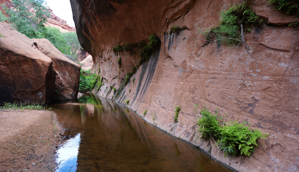
A little farther up canyon is the exit ramp one must take to climb out of the inner canyon to circumvent a dryfall via the high Kayenta ledges. The ramp leaves on the south side and is subtlety marked. If you come to a dead-end, you’ve gone about 5 minutes too far. The bypass first climbs a rockfall and then follows a steep slickrock ramp to the higher level.
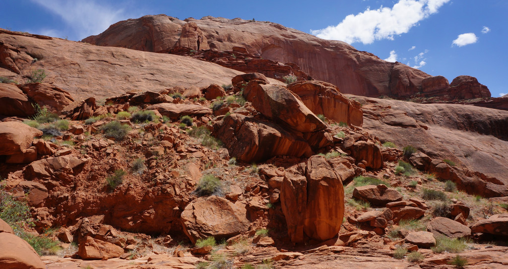
Once up at the top it’s just a matter of following the ledge system for several hours. There are a few spots that look quite intimidating on approach, but in reality nothing is too scary in terms of exposure.
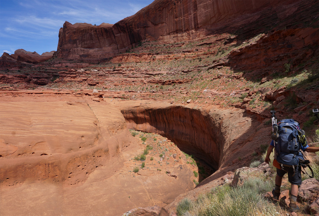
After nearly two hours of walking the route drops back down into the wash which is dry. At a three-way split in the canyon, I followed the northern branch and soon water began to appear again where some shallow narrows begin to form. I filled up on water and found the (marked) exit from Stevens Canyon to follow the Baker Route to the east. I didn’t get too far before making camp on the ledges overlooking the abundant vegetation from the spring in Middle Stevens Canyon.
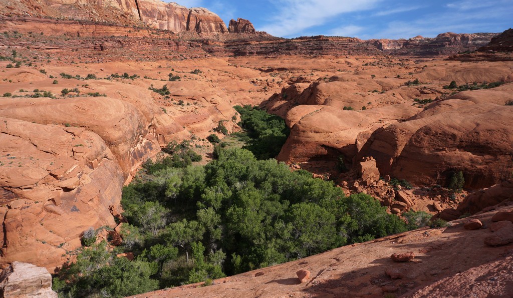
Day 17
I left camp and headed up the branch of Stevens Canyon that provides access to the Waterpocket Fold. I found plenty of water in the higher pools to fill up on before making true climb up and out of the Wingate Sandstone. The route here is a little tricky as it exits to the north and then doubles back to the west before wrapping around the top of a dryfall. From there the route is fairly easy to follow until one gets to the upper portion. Here I lost the marked route several times before stumbling upon it again near the crest of the fold. The same would be true on the way down.
The views from top of the Fold are not as amazing as farther up the reef, but still pretty great none-the-less with Bullfrog Marina and the waters of Lake Powell to the south and the Grand Gulch of Halls Creek and the Henry Mountains to the north.
Much of the final portion of the route is down vast stretches of slickrock. Often the rolling sandstone would hide impassable drops, thus requiring some back-and-forth navigating before getting to the bottom. By the time I got there I was very glad to be back down on actual soil as my shins were in pain!
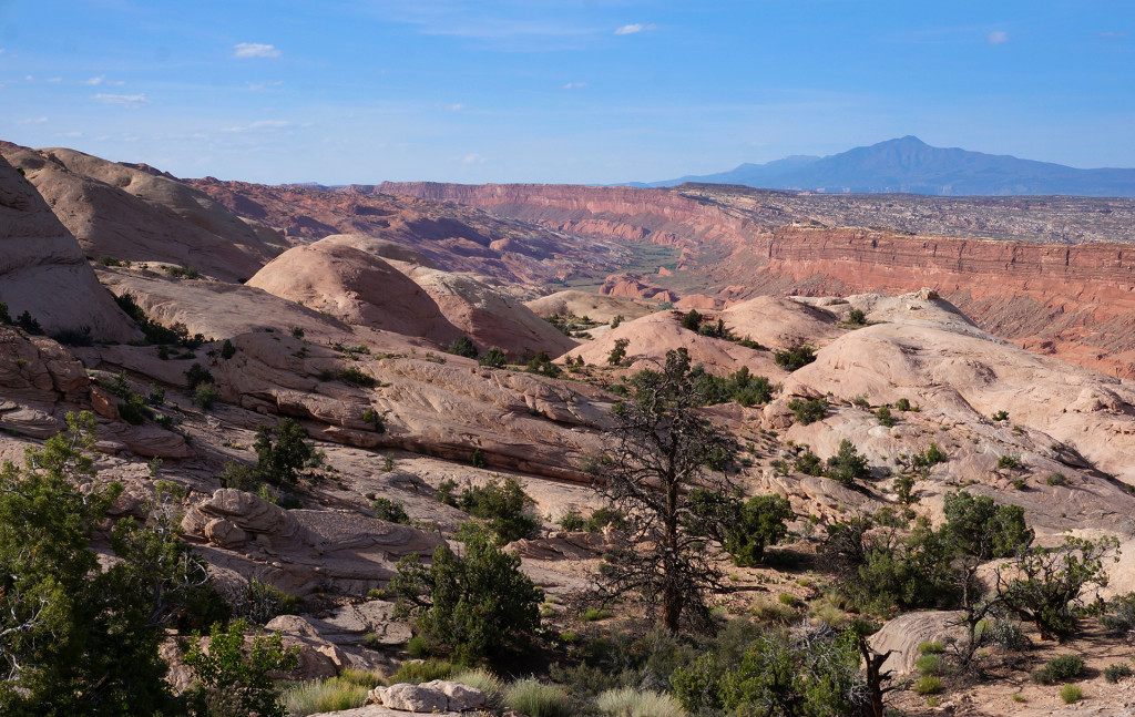
My enthusiasm soon waned though as I had to fight the crazy brush that hugged each incoming stream branch. With no easy way around I spent the time fighting through it and it was a painfully tough/slow process. Frequently I’d “post-hole” through a false bottom and then have to spend 5+ minutes to dislodge myself and move on. It was frustrating and physically draining. After a few of these I got to Halls Creek and just followed its circuitous route up another mile or so before making camp.
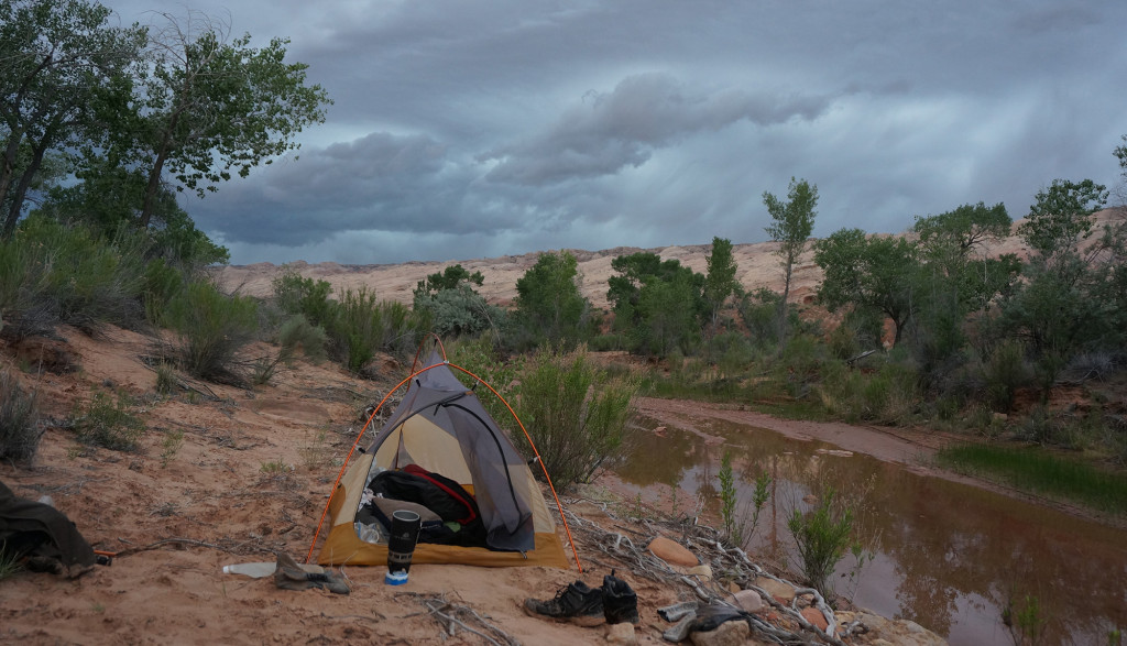
Day 18
Woke to rain once again, but it subsided before too long. I packed up and made my way north towards Halls Creek Narrows through several additional intermittent showers.
As I approached the narrows I debated whether or not I should hike through them or use the bypass route. The storm clouds ahead of me were quite intimidating and I knew that the everything north of my location would drain through the narrows. I contemplated leaving my gear behind and then doubling back, but in the end I decided just to power through the narrows as I knew the odds of a flash flood in May are few slim and this particular canyon had plenty of high ground spots if needed.
The canyon walls immediately closed in to form an impressive set of narrows. I knew that the narrowest section was near the southern end and sure enough I was soon greeted by the mini-slot full of water. I was happy to find that it was only waist-deep and not a swimmer as it’s known to be on occasion. I made my way through the pool as the rain started to come down. Then, by the next section of narrows, it was really pouring. As I made my way around each bend I made a mental note of higher ground opportunities.
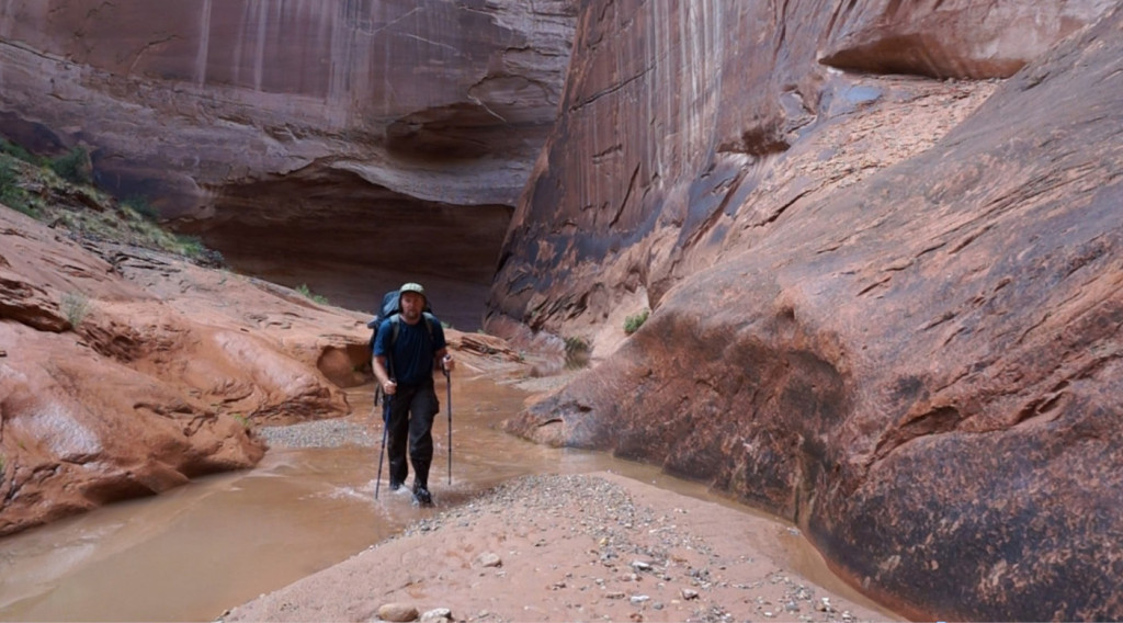
Soon, the rain subsided and the sun popped out and it was a glorious day.
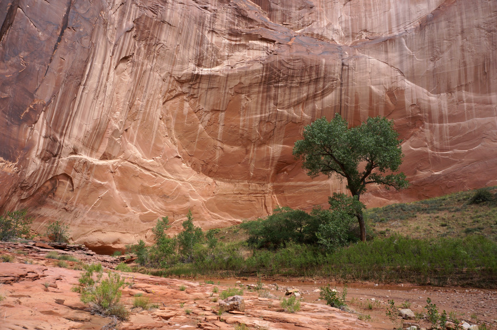
The middle part of the narrows feature towering walls along elaborate meanders. These are usually intersected by short narrows with deeper pools.
As I approached another narrows section the light was particularly nice ahead so I took a picture with my pocket camera.
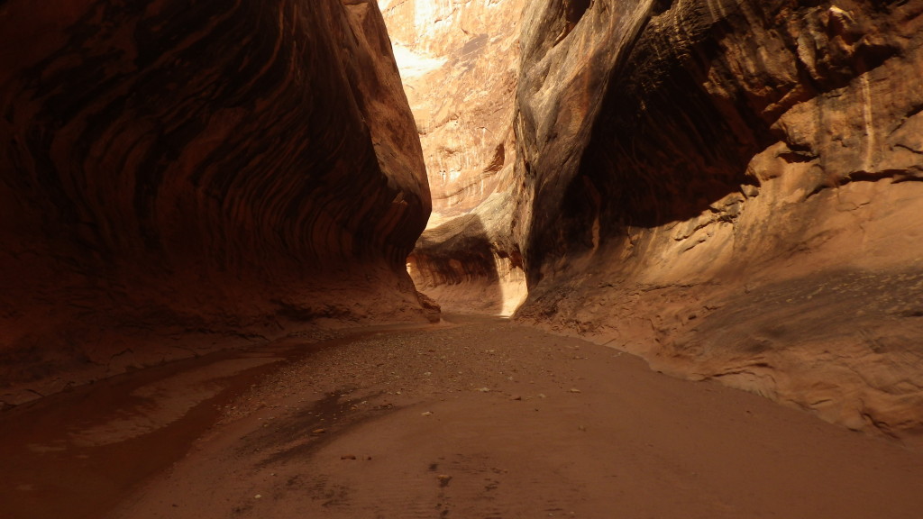
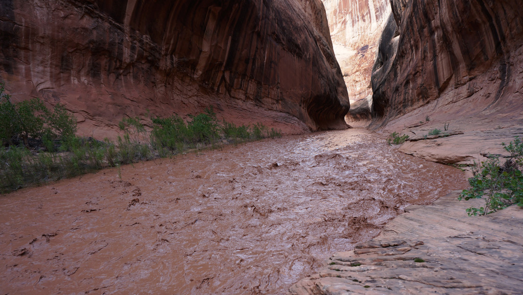
I noticed the wind was really strong as it was channeled through the narrows. It continued non-stop. Then I remembered learning as a kid that strong down-canyon winds often precede a flash flood — so I stopped. The wind continued with a howl that echoed through the canyon. Then, I noticed something strange up ahead at the bend of the canyon — the ground seemed to be crawling or something. Then, suddenly, the ground picked up and climbed the canyon wall before splashing back down. I knew instantly it was the headwall of a flash flood — about two feet of water and debris rounding the corner and making its way towards me. I turned and I ran. I remember saying “oh no, oh no, oh” as I sprinted back to where I knew the high ground was located. I instinctively climbed up the slickrock and onto the flood plain and turned around to see how the close the flood was behind me. I was surprised to see that it was actually still quite a ways away. As it got to the wider part of the canyon it spread out and the flow slowed. This gave me a chance to catch my breath and get out my camera.
Though slow, the initial surge was crazy. Within a minute what had been a trickle of a stream now filled the wash from side to side. I felt safe where I was, but just in case I scouted for even higher ground. A slickrock ramp led up another 20 feet to a spot where I know there was absolutely no danger. With that safespot noted, I took more pics and began looking for a place to camp and some clean water — both which I was lucky to find. I also was happy to learn that I could get a satellite signal out if needed. I knew I would be spending the night here and maybe more. Luckily I had plenty of food so I felt OK and could enjoy this spectacle of mother nature.
Day 19
I awoke during the night and was happy the I could no longer hear the water running through the canyon so I presumed the flood and subsided. But, then it started to rain. It continued to rain off and on until the morning. When awoke in the morning I could once again hear the water running. When I got up to take I look I was relived to see that, though still running, the water was much lower. I packed up my gear and headed up canyon. There were several deep spots — some to my waist. Each pool had a slight flow which made for an eerie, slow trek forward.
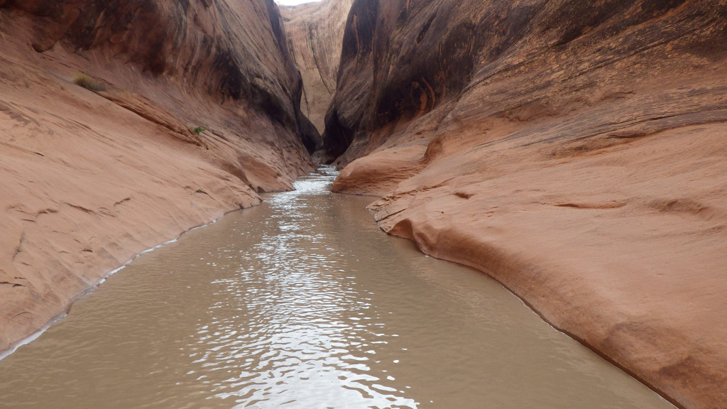
But, before too long I was out of the narrows and back into seemingly wide-open country east of the reef. The sun was shining and I was happy!
I continued north and soon I was hit by more intermittent showers. The trail along this portion of the canyon was fairly well defined so I made decent time. I went over to check out The Fountain Tanks — a reliable source of water along what is usually a dry landscape (the tanks were overflowing on this day!)
Just a little farther north I was fascinated by the hoodoos along the southern portion of the Red Slide. There are some really great balanced rocks here.
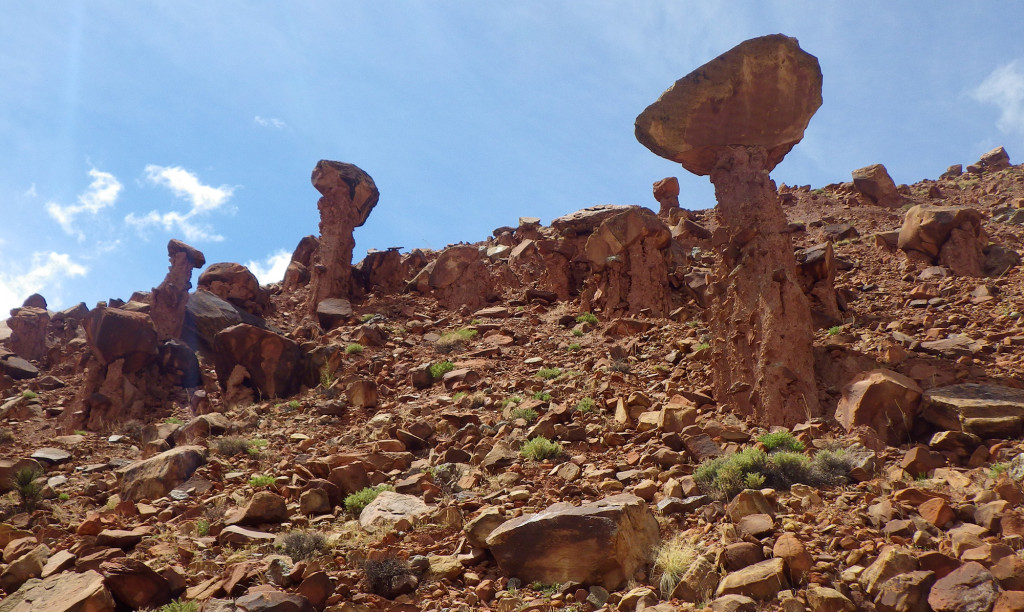
I had wanted to climb up the Red Slide and enter Lower Muley Twist from the south, but with all the rain I was behind and I really didn’t feel like fighting through the mud and/or re-entering the canyons with more threat of flooding. For this same reason I also skipped the side hike to Brimhall Double Arch — next time!
The trail was much fainter running north of Brimhall Canyon — in fact for long stretches I saw no real trail at all.
I took the side hike up to the feature known as Hamburger Rocks. Fun place — but I don’t think it would be worth it as a primary destination.
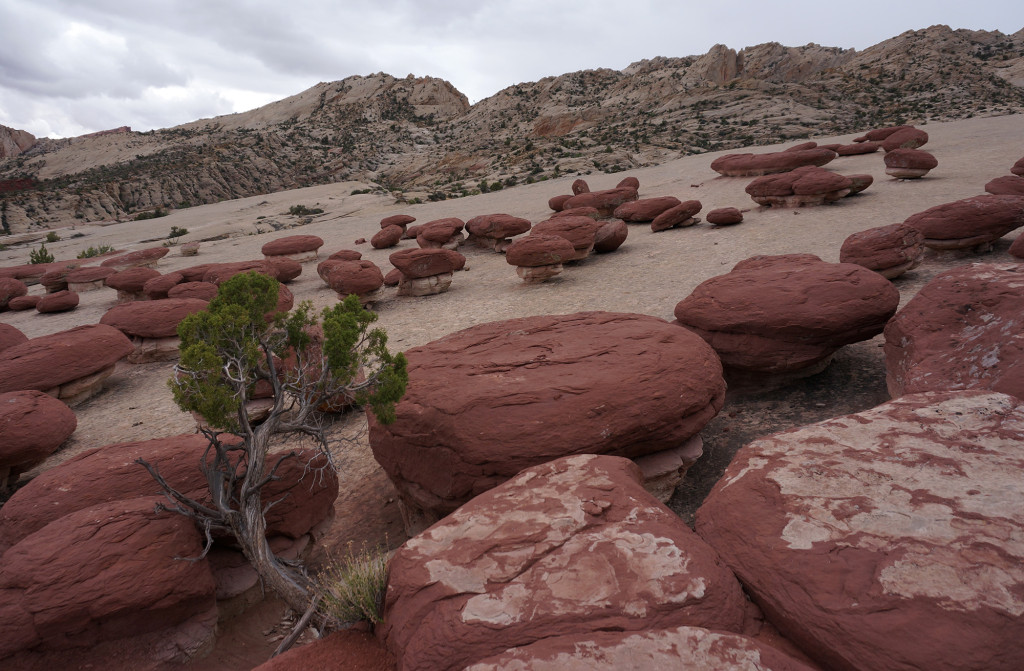
Climbing down I saw approximately 10 tents huddled around the Muley Tanks area — wow, I must be getting back close to civilization!
When I got to the bottom of Lower Muley Twist Canyon I was surprised to see this normally dry canyon was actually flowing. I’d pretty much already come to this conclusions, but the flowing water confirmed it: I would not re-enter the canyons and instead just hike up along the reef the final distance to the Burr Trail Road. As I did, there was considerable storm damage; lots of mud flows and erosion along the trail. It must have REALLY rained hard here earlier. In fact, I presume that it was a huge downpour here that caused the flash flood the day before that hit me several hours down canyon.
As I hiked up to the pass there was a great view back to another storm on the southern part of the fold near Red Slide and Deer Point.
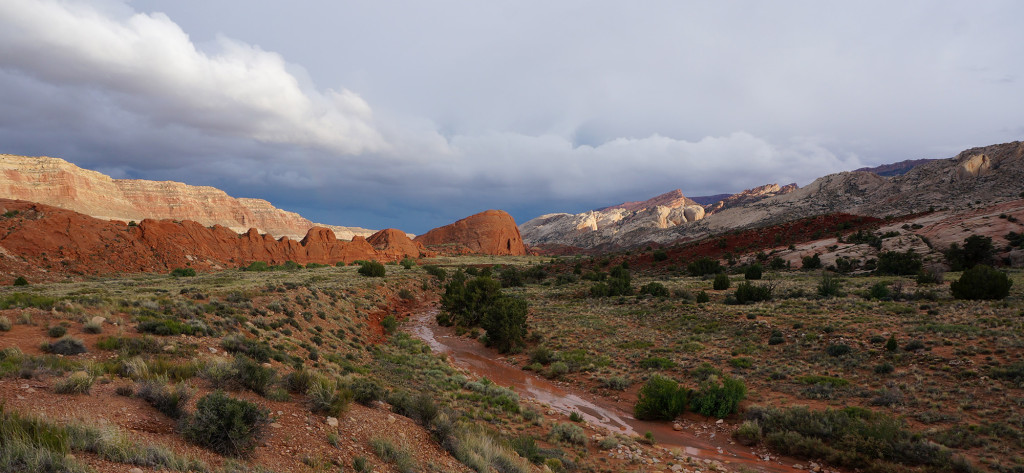
Just a minute later a rainbow popped out! My final camp was on the ridge overlooking a meander of upper Halls Creek.
Day 20
Woke up to a sunny day for my final day of the trip. Set out fairly early and found the trail still muddy from the recent storms. Passed the signed markers for Cottonwood Tanks and soon after that peered up at the barely-visible Natural Bridge in a canyon farther north. Soon after that I was at the hikers’ parking lot at the trailhead named The Post. Just up the road I was at The Burr Trail road and the official ending to my hike.
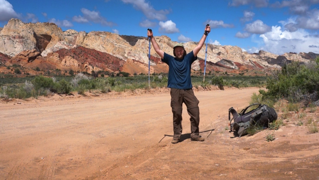
BUT… I actually wasn’t done walking yet as I agreed to meet my shuttle (aka my parents) at the top of the switchbacks just in case the road was in bad shape. So, with just over another hour of road walking I was atop the great overlook at the top of the Burr Trail Switchbacks and my trek was officially over.
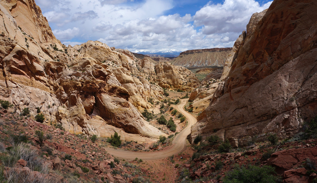
In the end it was a 320-mile trek in 20 days (about 4 of those days where half days.) It was definitely the rainiest and coolest trek across Utah I’ve ever done. But, ironically, with those conditions it was my first long Utah hike that I did NOT get hailed upon once!
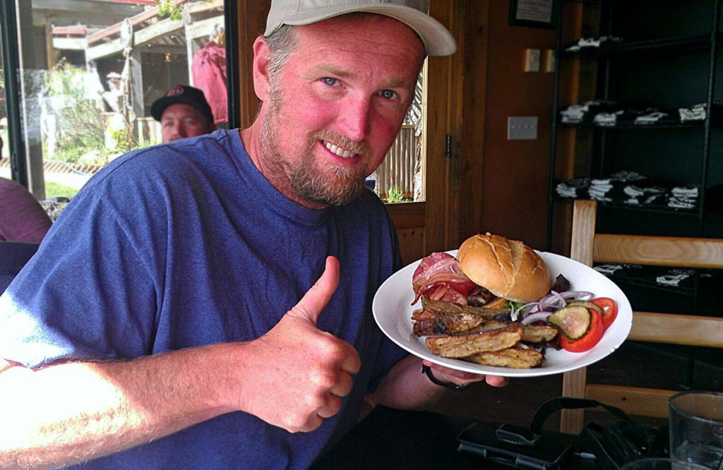
My parents picked me up on schedule and we immediately hit the Burr Trail Restaurant in Boulder for a burger and a beer! Hike complete!


Very cool! We’re considering doing a Capitol Reef NP to Lake Powell hike. Any idea how long that might take? A week? Or more?
Cool — but… way too many factors for me to guess. Capitol Reef’s southern end is only about a 2-hour walk from Lake Powell, but I’m guessing you hope to do more than that! 🙂 So… it all depends on where you start and what route you wanna take and how fast you want to hike. Feel free to email me if you’d like to chat more about options.
My friend and I love Escalante NM. We backpacked Coyote Gulch before and would like to do another backpack trip in that region. We’re looking for approx 6-7 days and around 60 miles or so. Can one hike from route 12 where it joins the Escalante Canyon to Lake Powell via the Escalante River? Are there even trails? Would this meet our distance/time requirement? We’ve also backpacked in the Winds and Sierra Nevada so aren’t new to backpacking. Thanks for any information you can provide.
Great Trip. It’s cool to hear about all the in-between places. You are so lucky you were able to get to safety from that flood! Years ago I was with a friend watching a heavy thunderstorm on the overlook of Halls Valley across from Brimhall Double Arch (which definitely would have required swimming when you were there). Waterfalls were pouring down the waterpocket fold every 100 yards or so, all the way from the top to the bottom. They all converged into Halls Creek and made their way towards the narrows picking up all the dead wood and debris along the way. As we saw the flash flood form in front of us it didn’t have that typical muddy color yet but the whole front of it was a yellow froth.
Love your vids. I was wondering if you could do a blog on how you pick your route and maybe some of the different steps in your planning a trip.
Southern Utah is the most beautiful place in the world to me. Thank you for sharing the beauty and even the formidableness (might not be a word) of that beauty.
Thanks. I could possibly do a post about that in the future. Just FYI though… I read the guide book essentials from Kelsey, Allen, etc. and scour the ‘net for prior trip reports. I’m also a map nut and love Google Earth.
Enjoy reading and watching our videos about your hikes across Utah, one of our favourite places.
Thanks so much. 🙂