I decided earlier this year that my “BIG” hike this year would be in Sierras. However, I couldn’t let a spring go by without a least a visit to southern Utah. So… in mid May I set out to explore. I wanted to hit a few “touristy” areas I’d never done as well as explore a few sections where I’d like to revise the official unofficial Across Utah Route.

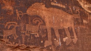
Petroglyphs along Potash Road
At the turn-off for the Spider Mesa road is an exhibit for dinosaur tracks. I did the short hike up to the tracks and then continued a little bit higher in order to check out several more petroglyph panels.
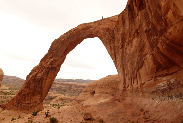
My next stop was at the Corona Arch trail. This short trail jumps the railroad tracks and then trends upwards a little over a mile into a slickrock basin before arriving at Bowtie and then Corona Arch. The main attraction, also known as Little Rainbow Bridge, is quite the arch. Going through the arch and viewing it from the back side affords one the best view. The daredevils out there can even scramble up a steep ramp and walk out on top of the arch. Just remember — it’s always harder coming DOWN steep slabs than going up. A fall here would be a very bad thing!

Corona Arch aka Little Rainbow Bridge
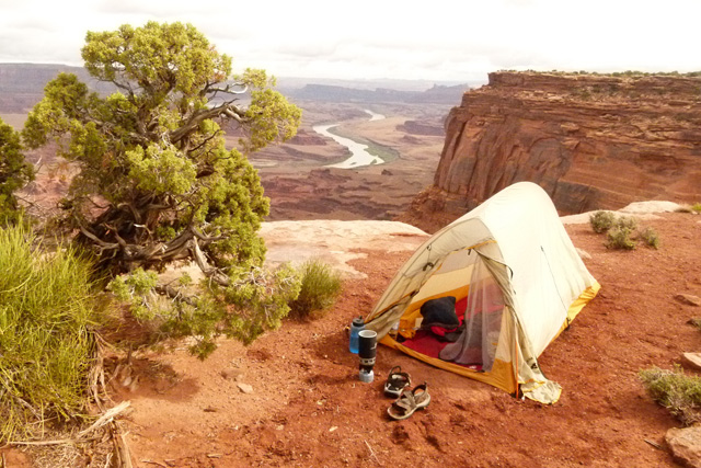
After driving out to the end of the paved road, I turned around and headed back through Moab and then to the south to the Canyon Rims Area. I went all the way out to Canyonlands Overlook and grabbed a nice established camping spot just off this rough road.

camp near Canyonlands Overlook


