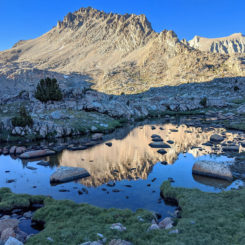
 I don’t think I’m alone in saying… 2020 has been a strange year! After skipping my traditional big spring hike in Utah and being much more sedentary than usual due to the pandemic, I set out at the beginning of July for a 9-day hike in the Sierras. Thanks to an online permit system and a trailhead less than one tank of gas away, I was able to do this entire trip self-sustained with zero interaction with the adjacent communities. I drew up an ambitious plan, but suspecting that I might be too out of shape for such an itinerary I had a plan B (and plan C) for back-ups if needed. Sure enough… even Plan C was tough and was all that I could handle! Continue below for the day-by-day report.
NOTE:
also check out the Trip Video and Interactive Map for this hike.
Day 1
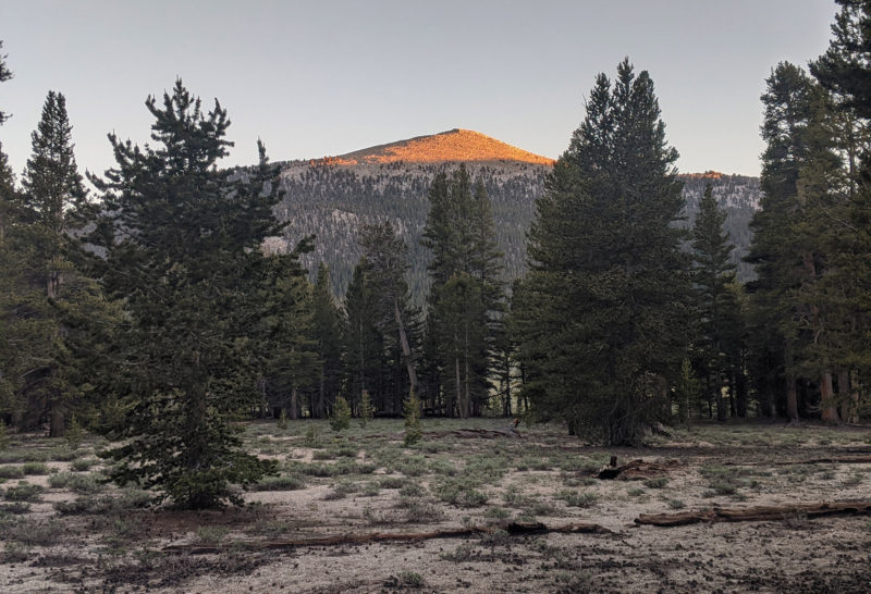
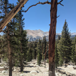
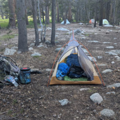
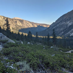
I’d planned to begin with a short day, but not *this* short. By the time I left LA and got to the Horseshoe Meadow Trailhead it was already 7:30pm and the sun was nearly down. I hiked in a few miles and set up camp a ways off the trail just before the switchbacks began climbing to Cottonwood Pass. The evening air was cool, but not nearly as chilly as I thought it might be. It felt good to be back out in nature.
Day 2
Got up and grabbed some water from a nearby creek and headed out. As I began to climb up toward Cottonwood Pass I could already feel the effects of taking such a long sabbatical. The high altitude didn’t help any and neither did the fact that my pack was much heavier than normal as I was carrying 9 days of food, a bear canister, microspikes, and warmer gear than I ever use in Utah. My starting pack weight was 45 pounds and that only included 1 liter of water. For my Utah hikes I usually like to start at 35-40lbs depending on the duration of the segment.
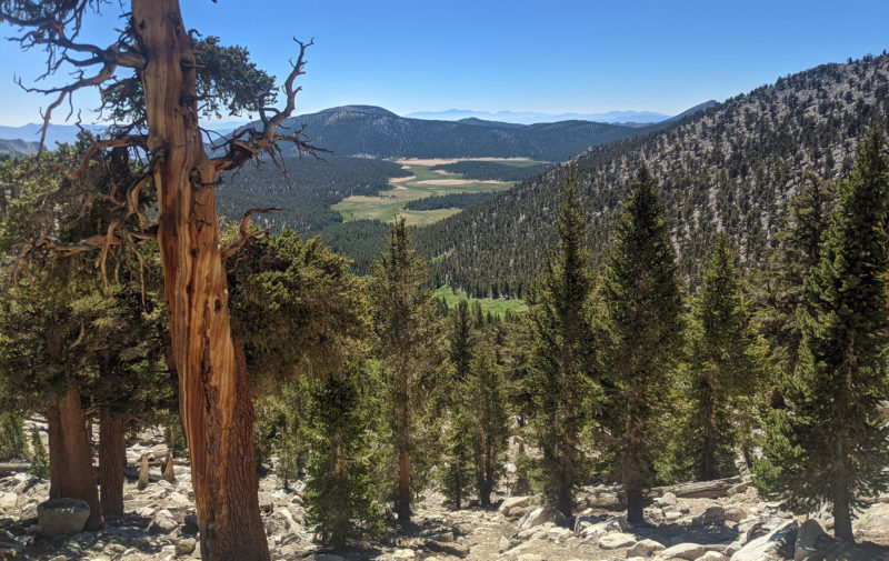
Before too long I was at the top of the pass looking back to where I began in Horseshoe Meadow.
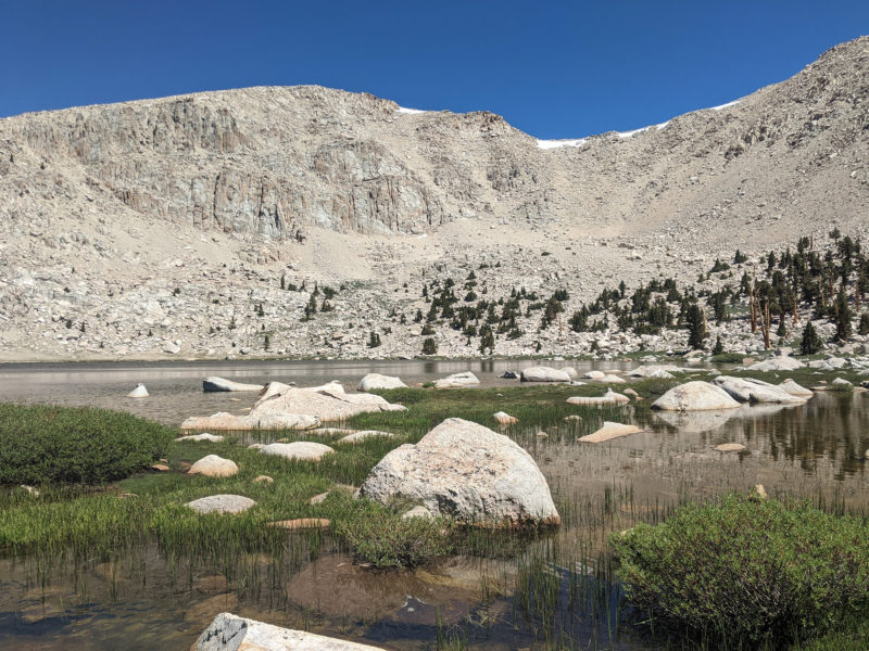
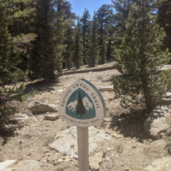
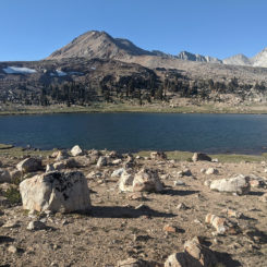
From there I connected with the Pacific Crest Trail and it was a fairly level short walk over to Chicken Spring Lake. I spent some time here for a snack break and to shoot some video.
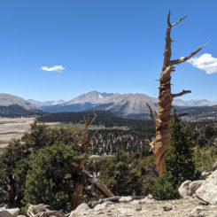
From the lake the trail climbed up to the west and to a good view over to the Great Western Divide. Then the trail continued in a generally northwest fashion as it climbed up and around various bends and through the foxtails and other pines. Big Whitney Meadow dominated the few to the west.
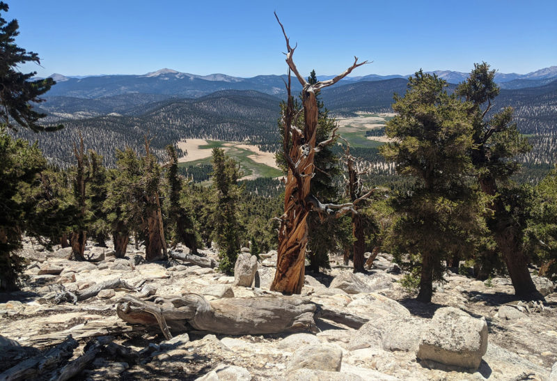
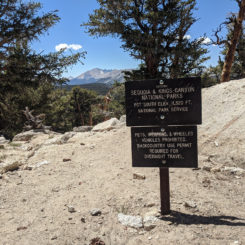
Soon I crossed the boundary into Sequoia National Park and not long after the route dropped in elevation before skirting across the plateau for a few miles with occasional views up toward the rocky crags in upper the Miter Basin area.
The next few miles descending to Rock Creek seemed to drag on for much longer than they should have. I arrived to the Rock Creek Camp area at 6pm and decided to call it a day. This was fairly disappointing as I’d started the day thinking I might make it about 10 miles farther up the trail, but that dream faded throughout the day as I kept reducing my goal.Still, I never thought I’d stop at Rock Creek, but I was beat and dreaded the switchbacks which await just ahead. Also, the idea of having a Bear Box and thus not having to re-organize my bear canister was very appealing (as well as camping near a great water source.)
Day 3
After starting the day with a stream crossing, it was then time to tackle those switchbacks I’d put off the night before. The trail climbed about 1000′ over the next two miles or so to the shoulder of Mount Guyot. It was indeed a slow go carrying my “COVID-15” as I joke about the extra pounds I’d put on over the first part of the year!
From there I welcomed a fairly flat section of trail as the route headed north before finally dropping down through some huge rocks and into the Crabtree Meadow area.
After crossing Whitney Creek it was time to climb once again. While still at the creek I asked a south-bound hiker about water ahead and he said he wasn’t sure, but couldn’t remember anything before Wallace Creek. Therefore I loaded up on water just in case I decided to camp for the night before making it to Wallace. Turns out the extra water weight wasn’t needed as there were MULTIPLE small stream crossing before getting to Wallace. I indeed did camp before getting to Wallace because for the second day in a row I was traveling much slower than expected. I’d done this entire stretch before, but it seemed much tougher this time. Guess a little extra weight and 8 years will do that! 🙂
Day 4
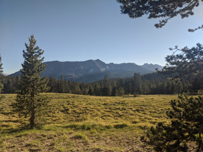
Packed up and headed down to Wallace Creek early in the morning. Met several other hikers on the way there. So far the trail had been far from crowded, but I had seen quite a few other hikers. A few were headed north on the John Muir Trail, a few were PCTers, but most were doing the High Sierra Trail. Actually there were more hikers south of Whitney than usual due to a recent earthquake that temporarily closed the Whitney Portal — thus many hikers were going down to Horseshoe Meadow.
Wallace Creek required another rock-balancing-act to get across. Once again I filled up on water before making the climb out of the drainage. At the top was a great view down the side canyon toward Kern Canyon and over to the Kawaeah peaks of the Great Western Divide.
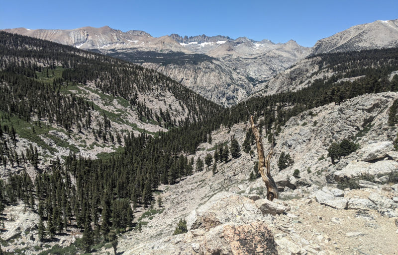
From here it was a steady climb up through forest and sporadic meadows. Looking back provided great views of the north side of Mt. Whitney and nearby peaks.
Before too long I was atop Bighorn Plateau with great views in every direction. This seems to be a highlight for many JMT and PCT hikers. The views are great, but I think it’s really just shows how rare it’s for one to NOT be locked into a “tree tunnel” on those hikes and actually be able to see the surrounding peaks!
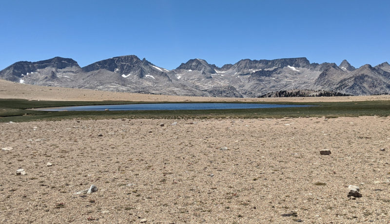
Coming down the northern side of the plateau provided the first good look into the Upper Kern Region. Milestone Peak and Midway Mountain dominated the view to the west.
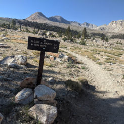
Crossing Tyndall Creek wasn’t too tough and before long I was a the trail junction where I would leave the JMT/PCT and head west toward Lake South America and the Kern River. From here it would be all new terrain for me.
As I continued to climb toward the setting sun I passed a few marmots and unnamed lakes before camping just south of Mt. Cal Tech. It was the 4th of July and I was happy to be camped above treeline so that I could enjoy the “fireworks” of the full moon and stars for the night.
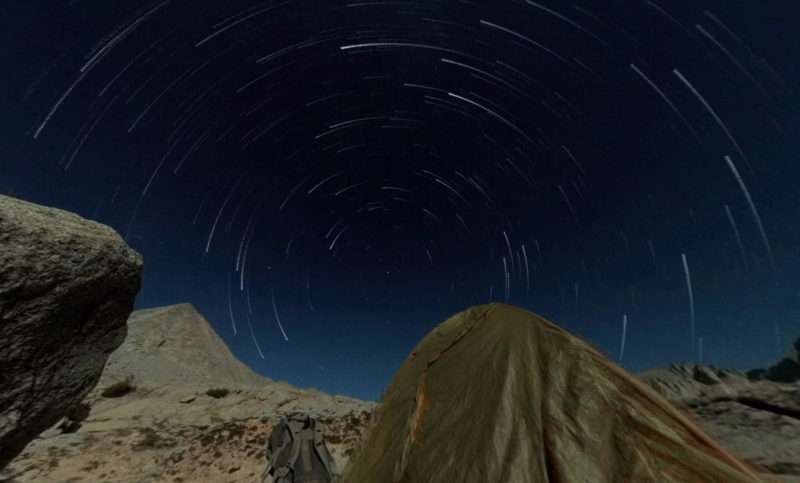
Day 5
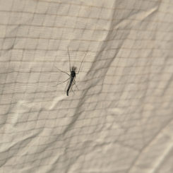
Passed another unnamed lake in the morning before making the climb up the small pass to the Upper Kern Basin toward Lake South America. The pass didn’t gain much elevation, but it was steep and sandy and the mosquitoes would attack if you paused for more than a few seconds!
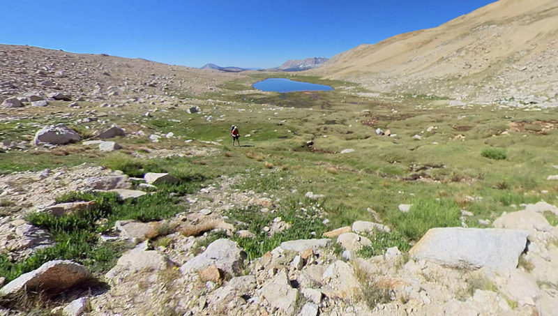
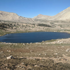
From the top of the pass Lake South America was still hidden by a rocky knoll to the northeast, but it was still a great view of the high peaks encircling the barren upper basin and a medium-sized lake visible down below.
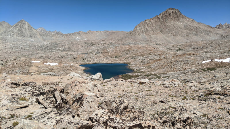
I headed toward the knoll and Lake South America off trail as I wanted a view high above the lake. Along the way there was a ruckus from the cliff’s edge not more than twenty feet away from me and out flew a bald eagle! I’d never seen one in the Sierras and it was an incredible sight as it circled soaring higher and higher above me amidst the nearby peaks.
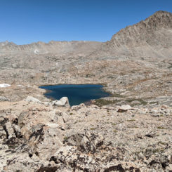
Soon I passed the crest and Lake South America came into view with its blue-green color filling the basin below me. My vantage point put me “off the coast of Brazil”, so I worked my way along the ridge to the west to get a more traditional view in proper orientation.
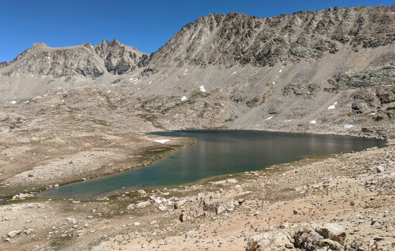
For the first time on this hike, I felt a sense of accomplishment and true awe. I’d been fascinated reading about this lake for a long time and had always wanted to see it in person — and here I was. Truth is… I’ve read many reports of other hikers being disappointed with Lake South America. I actually understand this sentiment. It’s not overly scenic in its barren landscape and gets more notoriety from its name/shape than anything else. That said, I was still definitely glad to have had the opportunity to see it firsthand.
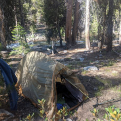
I took an extended lunch break down near the edge of the lake. I actually set up my tent in an effort to make a sun shade and somewhat futile attempt to keep the mosquitoes at bay.
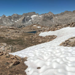
After my break, I headed up north of the lake and into the Upper Kern Basin. There used to be an old trail that went this way, but I saw no indication of it as I made my way cross-country. I passed a few patches of sun-cupped snow as I climbed higher. All-in-all I experienced much less snow than I expected on this trip. I even delayed this trip a few weeks thinking that early-season snow might have been a problem — but that was definitely not the case. There was much more snow on my mid-August High Sierras Hike in 2011 — but admittedly that was a crazy big snow year.
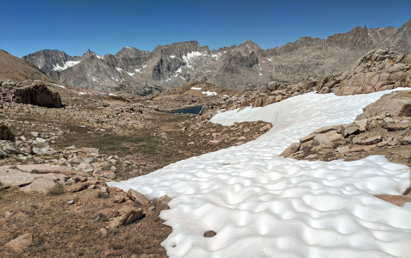
At around 12,200′ high in the Upper Kern Basin I decided to turn around. I had originally hoped to make it up to Harrison Pass or possibly even summit Mt. Erickson or Gregorys Monument, but I def didn’t have the energy for those climbs at this point. I was content being in the upper basin as I thought it was cool to be at the headwaters of the river which I would hike along for 20+ miles for the next few days.
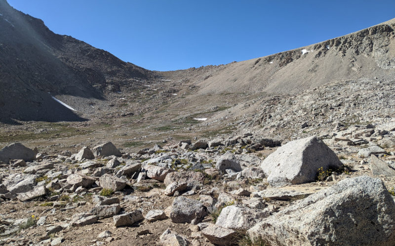
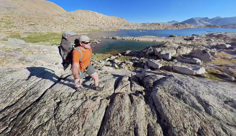
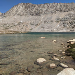
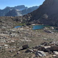
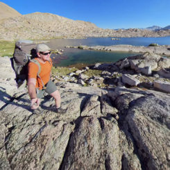
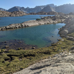
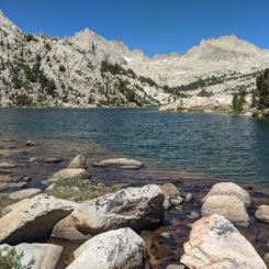
I headed down the drainage west of Lake South America and enjoyed the string of lakes along the way. One of the lakes was quite large and I enjoyed walking along the giant glaciated slabs alongside the shores.
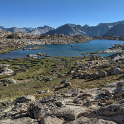
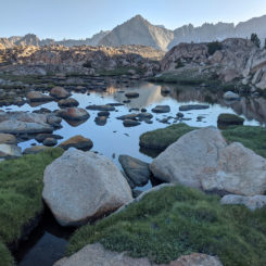
Dropping down a slight incline I entered a valley with dozens of small lakes — it was gorgeous.
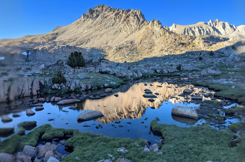
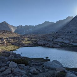
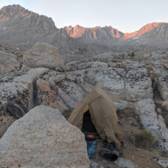
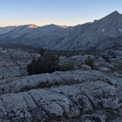
Still off-trail with the sun fading, I made camp on a glaciated ridge with a great view of the Great Western Divide and down the Kern Canyon — my route for the next few days.
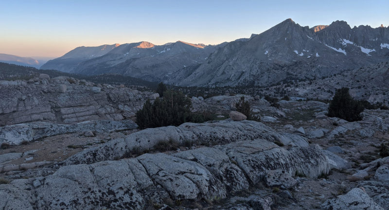
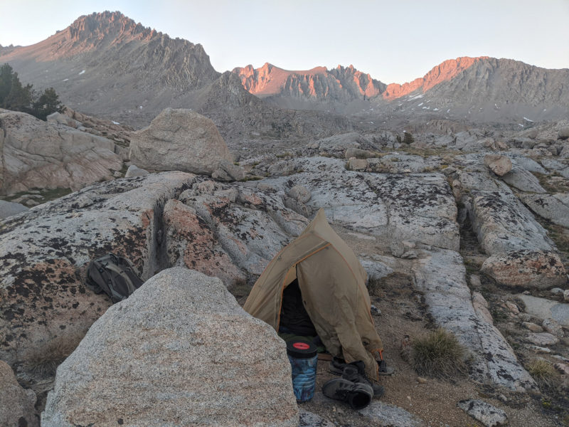
Day 6
Still going off trail I headed west toward another big lake. After dropping some elevation I realized that I’d made a mistake and actually was headed toward a smaller lake and the bigger lake was on the ridge a few hundred feet above me now. I contemplated climbing back up, but quickly talked myself out of it and just kept heading down knowing that another big lake was ahead not too far past the small lake.
As I made my way downward I soon hit treeline once again at which point walking became much slower. Weaving through the pines and fallen trees was tedious and I was glad to finally get down to the lower lake where travel along the shore was a bit faster.
From the outlet of the lake I continued off-trail and soon passed a cool little waterfall.
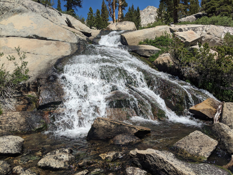
Farther down I reached another lake where I would re-connect with the trail on its east shore. Unfortunately the direct route appeared blocked by an large slab of steep granite along the shoreline, thus I circumnavigated the lake on its far side and re-connected with the trail farther down.
It was nice to be back on an actual trail. Walking was definitely faster and it required so much less brain power. Not that going off-trail is rocket science, but it does precipitate a continuous internal dialogue of “should I go that way, or this way… or maybe go over there?”
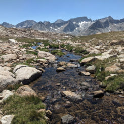
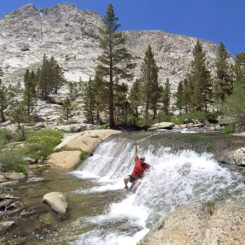
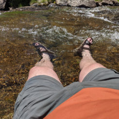
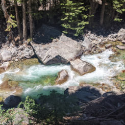
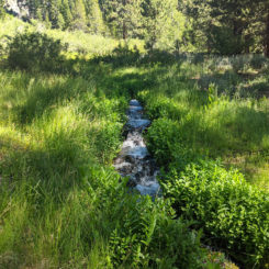
As the trail followed alongside the now medium-sized stream, it soon came to a series of cascades. I decided to take a mid-day break and cool off in the stream. The water was cool, but it felt pretty great on this summer day. The hike had been much warmer than I expected, so it was nice to cool off.
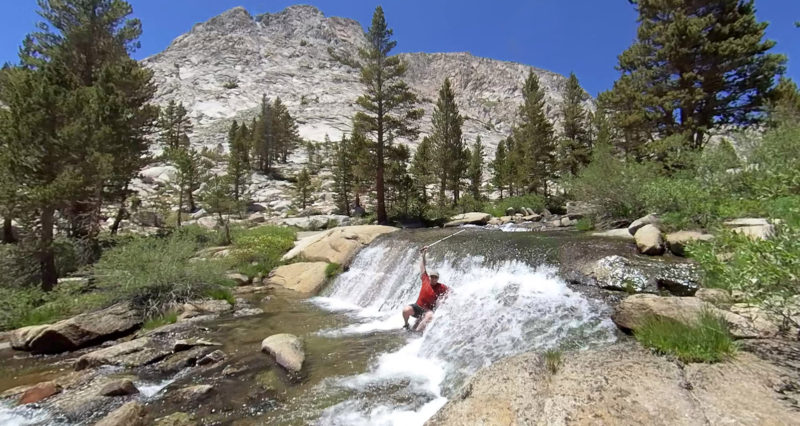
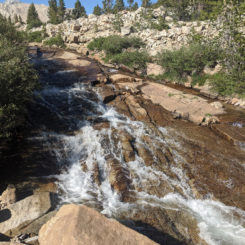
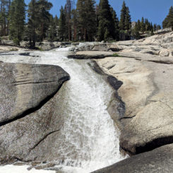
Continuing down the trail I soon got to the point where the route dropped below the Milestone drainage. Along this portion I encountered a nice cascade where the Kern slides over slabs of granite.
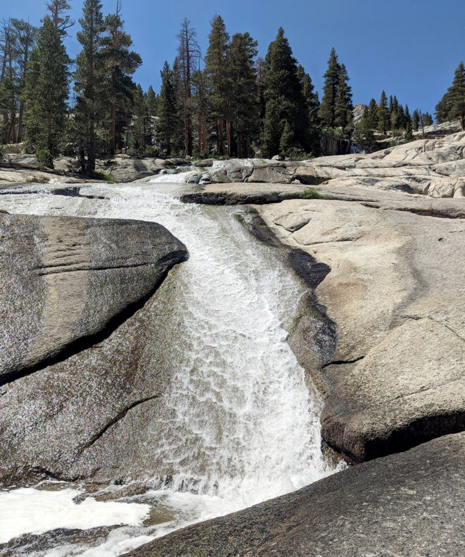
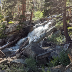
Once below this point it was back to hiking through the forest for a ways. There were a few nice waterfalls near the trail and as I approached the junction to the Wallace Creek Trail I was surprised to find an old log cabin which was missing its roof.
Past the trail junction the route clung to cliffs east of the Kern before descending some switchbacks down to Junction Meadow.
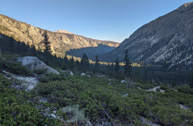
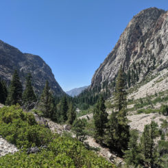
Here the route entered the forest once again at another trail junction. I’d continue down the canyon, but another route splits to the NW and climbs up toward Colby Pass. I’d originally considered coming down that route after some additional off-route travel, but… that didn’t happen this time around.
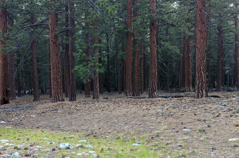
When I got to Wallace Creek there was no apparent easy way to cross w/o getting my feet wet. Tired and no patience left for the day, I decided to not change shoes and just got my boots wet. In hindsight, this was not the right choice. But, I hiked just a little bit farther and then found a suitable place to camp not too far from the river.
Day 7
Continued down the trail along the river and soon came to Whitney Creek. It was overflowing onto the trail and once again there was no way to rock-hop across this water course. Though my boots were still damp from the wet crossing the day before, I definitely didn’t want to soak them again so early in the day. So… I changed out to my sandals and make the chilly crossing which was only shin-deep at the most.
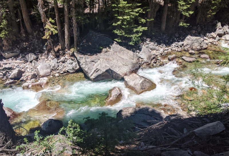
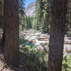
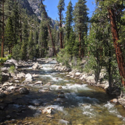
By this point the Kern was definitely looking more and more like a river — with frequent deep pools and big rapids as it made its way over/past big boulders and fallen trees.
Along this stretch and within the span of about 5 minutes I was startled by TWO rattlesnakes — both right on the edge of the trail! The first one signaled his discontent with that tell-tale sudden and unnatural sound of maracas before he quickly slithered back underneath a boulder. The second encounter was much scarier as this guy was much bigger and less than a few feet away from my legs when he sounded the alarm. He stood his ground alongside the trail as I grabbed my camera from a safe distance. Before too long he no longer felt threatened and slithered off and into some fallen branches. I’d see a third rattler later in the day — but he was much smaller and a good distance off the trail. In fact, I’d likely never even seen that last one if he hadn’t caused such a ruckus with his rattle.
I continued down the U-shaped canyon with an eye out for more snakes!
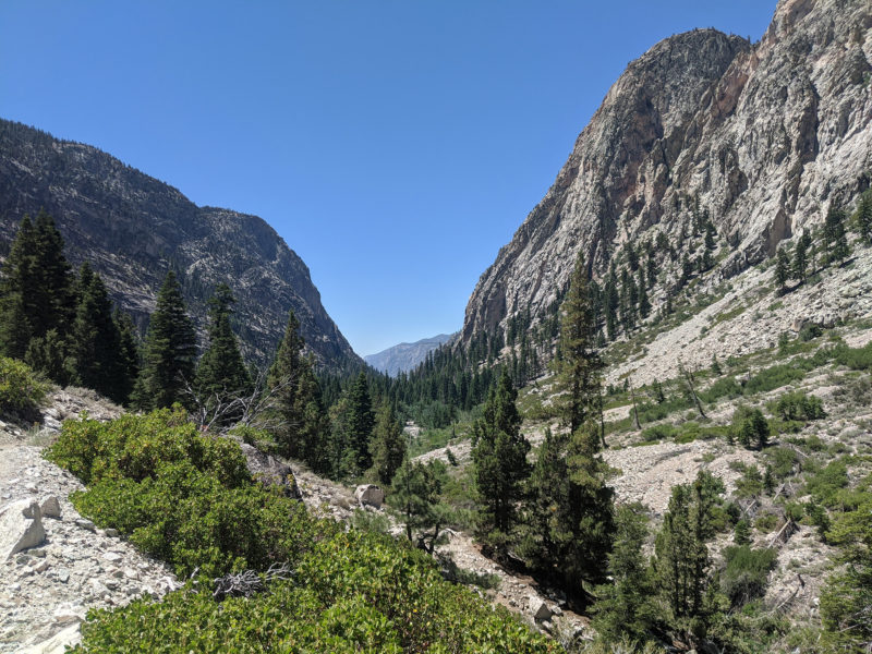
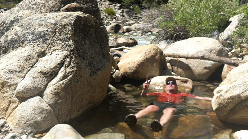
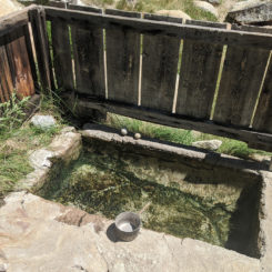
Soon I crossed Rock Creek and not long after arrived at the designated camping area near Kern Hot Springs. This is evidently a very popular camping area as it had multiple areas to camp each with a bear box and even a pit toilet. It was mid-day so there was nobody here and I had no intent of camping myself, but I did check out the hot springs alongside the river.
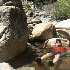
The park department had made a small “bath” to capture the hot springs. It was way too hot for my taste, so instead I opted for the overflow alongside the river. It was more like a luke-warm bath and def felt good — though likely would hit the spot even more on a cool evening after a long day of hiking. I could have stayed and relaxed longer than I did, but I still had a long ways to go.
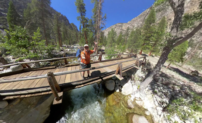
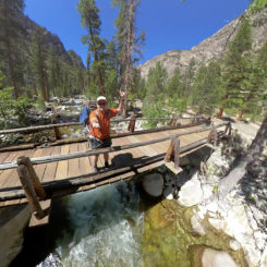
Soon I crossed the Kern with the assist of the trail bridge.
Now on the west side of the canyon the Chagoopa Falls soon came into view. At about 1200′ high, it’s one of the higher falls in California. Unfortunately the late-day sun somewhat made the view less than ideal.
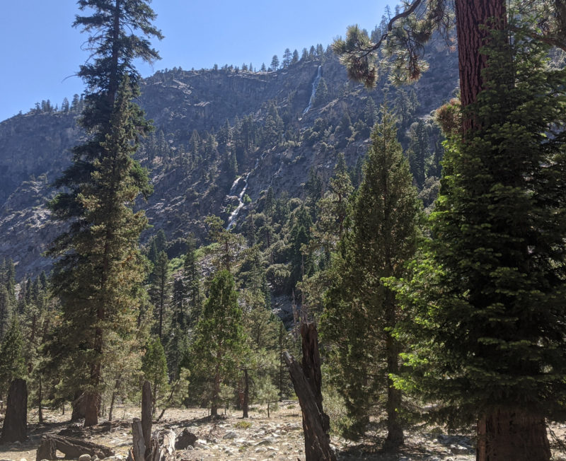
I filled up near the base of the falls (hidden) and then continued south. I ran into three different groups of hikers headed the opposite direction before getting to the trail junction where the High Sierra Trail drops down from the hanging valley above. They were all headed to the hot springs for the night.
The next several miles along the west side of the river were very tedious. There were several stretches were the trail clung to the western wall and traversed over over-sized granite “gravel” pulverized from the nearby rock talus. Other portions of the trail dipped into the dense forest which was commonly overgrown as it wound besides a marshy area which seemed to be prime breeding ground for flies, mosquitoes, and other unidentified flying creatures. This was definitely the worst section for bugs.
I passed the junction with the Rattlesnake Creek Trail and continued south before finding a decent place to camp alongside a wide bend in the river.
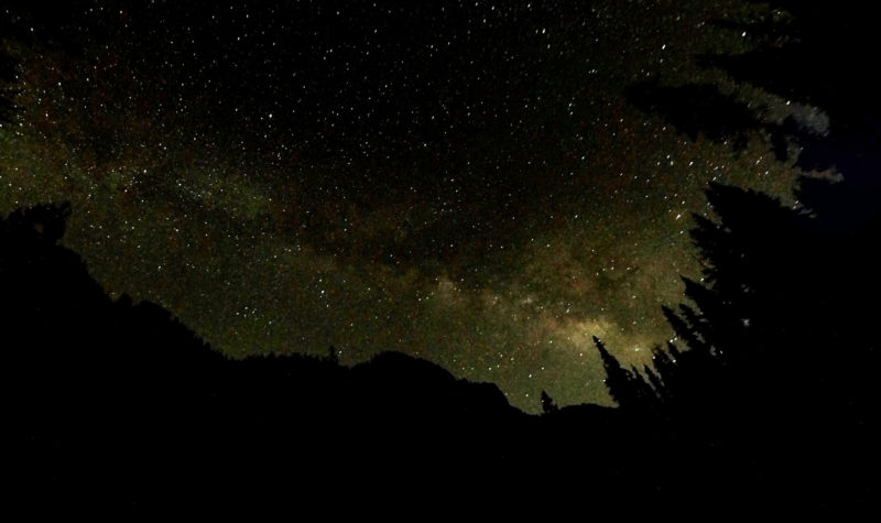
Day 8
I began the day not too far from where I would begin the climb up and out of the canyon. Unfortunately I was on the opposite side of the river from the ascent and for some reason the trail continued south before winding back to a bridge just south of the park boundary before doing a u-turn and then back to the north before starting the climb.
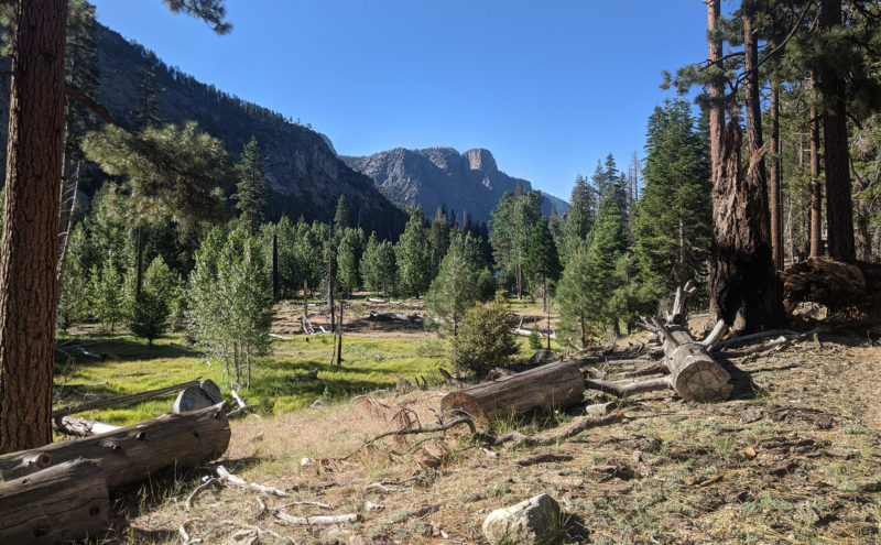
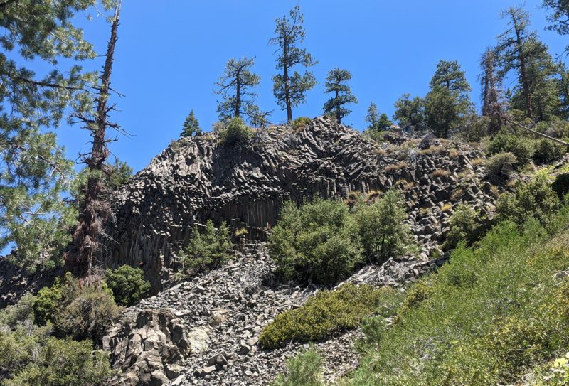
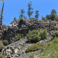
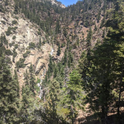
Though my pack was much lighter 8 days into my hike and I’d finally gotten my “hiking legs” back (somewhat), the climb out of the canyon was still pretty tough. I climbed over 1000′ up in just over a mile and then it was a pretty steady climb from there on up and into the Golden Trout Wilderness. But, along the way there was a cool “Devil’s Postpile-like” formation and a not-that-great overlook of Volcano Falls.
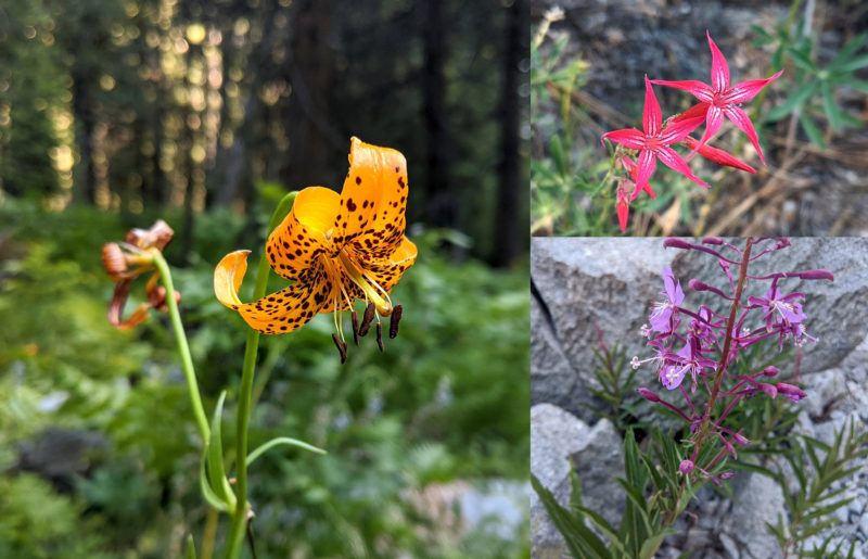
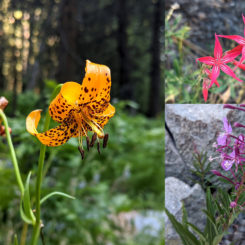
There were some nice wildflowers along this stretch. I’d seen sporadic flowers for the last week, but really not as many as I had expected.
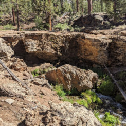
A little farther up the trail actually crossed a natural bridge. On the map look for this feature via the creative name of “Natural Bridge”. It really wasn’t the most photogenic feature, but it was definitely unique for the area.
I continued winding my way up and through the forest alongside the Golden Trout Creek. Occasionally the trail wound around ancient lava flows. When I got to the Little Whitney Meadows I saw the first people I’d seen since leaving the High Sierra Trail. They were camped a ways off the trail and never seemed to even notice me as I passed. I’d originally planned to go up to Big Whitney Meadows and back over Cottonwood Pass, but upon closer inspection of the map I realized that the route through Tunnel Meadow though it appeared longer, was actually the shorter route back to Horseshoe Meadow AND went over a lower pass. I didn’t need much convincing at this point so I took the trail toward Tunnel Meadow.
The sun was nearly down by the time I got close to the ancient cinder cone named Red Hill and I decided to call it a day not too far from the stream. The mosquitoes had died down considerably which I appreciated as I made camp.
Day 9
The final day was pretty much just about getting back to my car. It was already pretty warm early in the day so I was glad that I was never too far from a water source. Though I was anxious to be done, my body was pretty beat and I still couldn’t push it as hard as I would have liked. By mid-day I was climbing up along the South Fork of the Kern where the mosquitoes were once again on the rampage. I actually had run out of my “Jungle Juice” by this point, so I had to put on my mosquito jacket and headgear if I wanted to stop for a break. Even then — I couldn’t stop for too long anywhere near water and instead had to opt for open spots with any potential breeze.
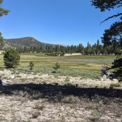
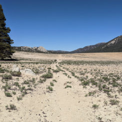
I crossed over the small saddle and into Bullfrog and then Mulkey Meadows. The first part of this stretch was nice, but then it was followed by one long portion which was especially tedious through the sand across a barren meadow with no break from the sun.
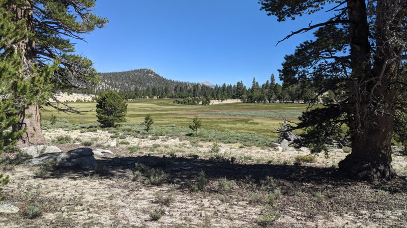
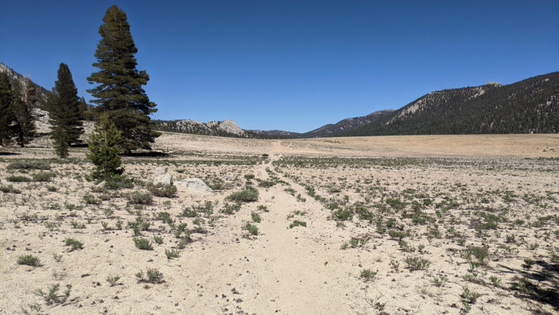
Then it was time to climb up toward Trail Pass. For possibly the only time on this entire hike I found myself running low on water with no source around. I was hopeful that I would find a source as I approached the the pass, but it was a strange feeling to not know for sure. But… sure enough, soon there was a small stream flowing beside the trail and I was able to get what I needed.
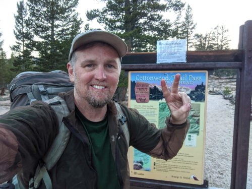
Late in the day my energy was definitely beginning to fade, but I pushed onward and got to the top of the pass by 6:30. After a short break, I continued on for the final stretch which was a relatively easy downhill two miles back to Horseshoe Meadow.
Back in the sandy meadow with the sun going down I fought off the persistent mosquitoes as I filmed my video wrap up. That took longer than it should have, but before too long I was done and happily back to my car at the trailhead.
8 full days and 92 tough miles later… Hike complete!
NOTE:
also check out the Trip Video and Interactive Map for this hike.
Way-too-many-pictures Photo Gallery:
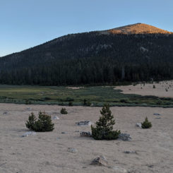
- Sundown on Trail Peak
- Day 2 morning view
- climbing to Cottonwood Pass
- Looking back to Horseshoe Meadow
- Chicken Spring Lake
- Above Chicken Spring Lake
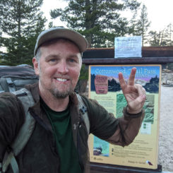
- PCT Trail Marker
- above Big Whitney Meadow
- into Sequoia National Park
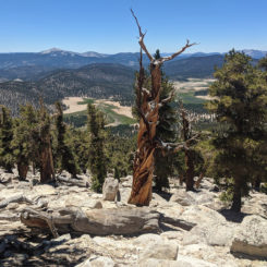
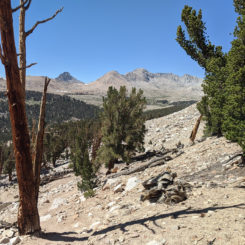
- Foxtail Pine and Great Western Divide
- The Kaweah Peaks
- designated camp along Rock Creek
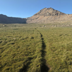
- sandy trail
- Mount Guyot
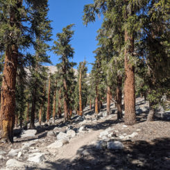
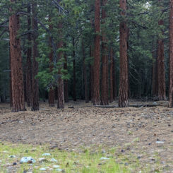
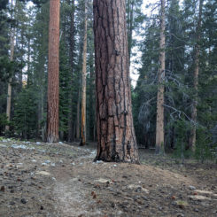
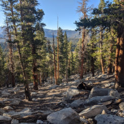
- through the pines
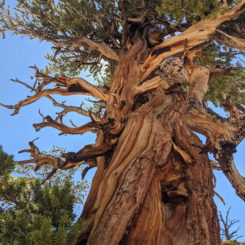
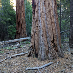
- cool tree
- cool tree in the making
- view north toward upper basin
- rocky descent to Crabtree Meadow
- Lower Crabtree Meadow
- golden meadow
- Wallace Creek
- looking toward Kaweah Peaks
- looking back at Mount Whitney
- Bighorn Plateau
- Milestone Peak and Midway Mountain
- looking north toward Tyndall Basin
- Tyndall Creek
- trail junction
- unnamed lake
- unnamed lake
- trail toward Lake South America
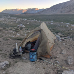
- Day 4 Camp
- shoes and sundown
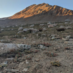
- Mt. Cal Tech
- swampy lake area
- climbing up to the saddle
- looking back
- still more to climb
- at the pass looking into barren upper Kern Basin
- Lake South America
- ugh!
- shoreline of Lake South America
- outlet from Lake South America
- unnamed lake and Great Western Divide
- suncupped snow
- Upper Kern Basin
- headwaters of the Kern River
- walking along glaciated slabs
- unnamed lake and Great Western Divide
- unnamed lake and Great Western Divide
- fading sun
- unnamed lake and Great Western Divide
- Day 5 Camp
- sundown on the Great Western Divide and Kern Canyon
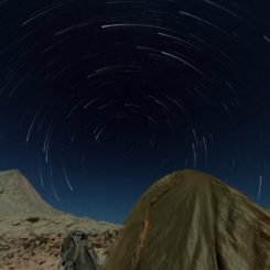
- fun with Star Trails
- “Ghost Lake”
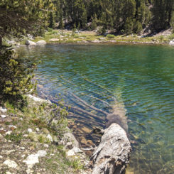
- submerged pine
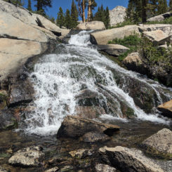
- nice little waterfall
- series of cascades along the upper Kern
- cooling down
- Kern cascading over granite slabs
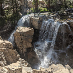
- waterfall
- another nice waterfall along Upper Kern
- descending toward Junction Meadow
- descending toward Junction Meadow
- near Junction Meadow
- wildflowers
- Camp 6 near the river
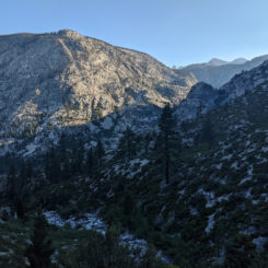
- U-shaped Canyon
- The Kern River
- hiking along the Kern
- Kern Hot Springs
- Kern Hot Springs
- crossing the Kern via a bridge
- The Kern River
- Chagoopa Falls
- Chagoopa Falls
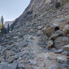
- tedious stretch of rocks
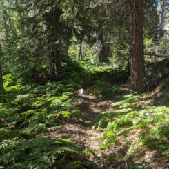
- hiking through ferns
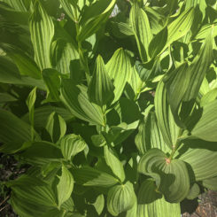
- Corn Lily
- big trees
- through the forest again
- near Rattlesnake Creek
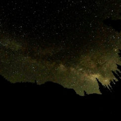
- the Milky Way
- near Funston Meadow
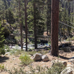
- bridge across Kern River
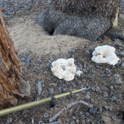
- fungi
- climbing out of the canyon
- cool columnar jointing
- Volcano Falls
- springs
- Natural Bridge
- South Fork Kern
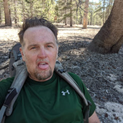
- tired Jamal
- trail signage
- Mulkey Meadow
- barren sandy stretch of trail
- climbing toward Trail Pass
- south toward Mount Olancha
- final stretch
- sundown on Trail Peak (same pic, 8 days later!)
- Hike Complete!








Nice Trip Report! I’ve lived in San Diego since late 2014, but I still haven’t gotten a chance to visit the High Sierras. Your photos, once again, really show off the scenery in those mountains! Keep on “getting out there” (and stay safe!).
Hello Jamal
I’m happy for you that you were able to get out and do this hike. And , again , thanks for those sonic pictures
I’ll see you tomorrow for some more details about the hike.
Great to see you in action again….love your writing….the pictures are terrific with the night sky bracketed by trees and mountains a big A++….skeeters once made me cut a trip down the Green River short as one could not do anything anywhere without hordes…45lbs was too much weight….keep it good Allen Bealle