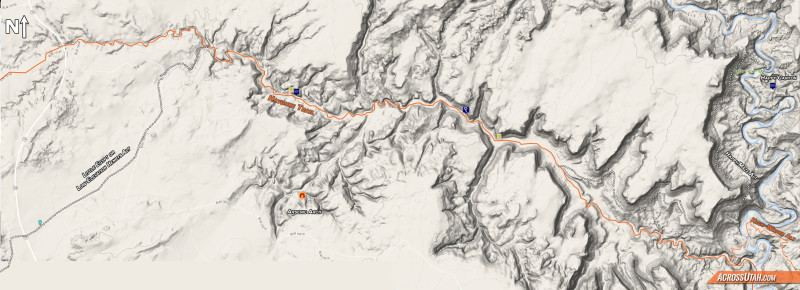
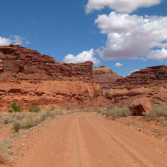
Poison Spring Canyon is south of Hanksville and runs 16 miles from Highway 95 down to the Dirty Devil River. There’s actually a gravel road which follows the length of the canyon. Its condition changes drastically based on recent storms. This stretch of canyon is the last leg of Section 4 of the Hayduke Trail. Below the map is my description for those walking UP the canyon east to west.
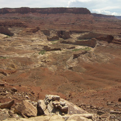
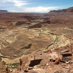
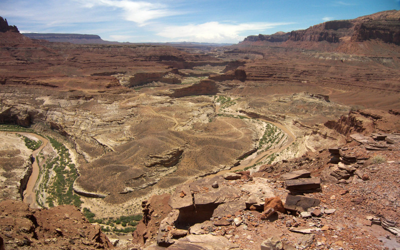
First one must cross the Dirty Devil to head up Poison Spring Canyon. If one has taken the high-water alternate, you will cross where the road does as seen here from the northern rim (along the Happy Maze Alternate):
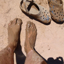
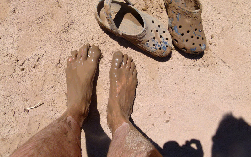
Your feet will likely look like this:
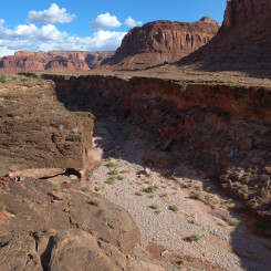
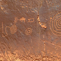
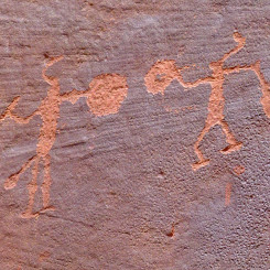
Follow the road up the inner canyon looking for a few petroglyph panels along the way. After about 4 miles the road will exit the wash and climb out of the inner canyon and follow the rim of the canyon to up above the Black Jump. This feature is seen here from the other side:
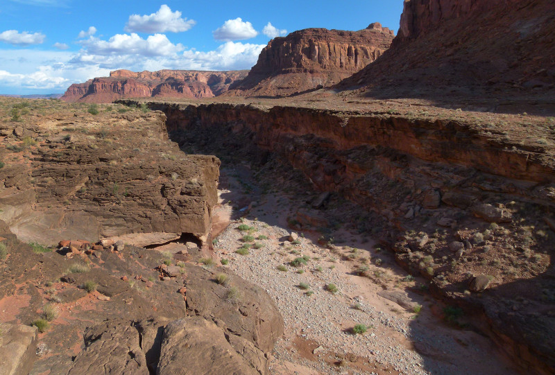
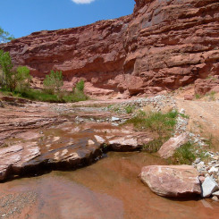
There may be some potholes of water just above the Black Jump. If not, the water should appear and even be flowing just a short distance up canyon. It’s fairly quick walking along the road in this section.
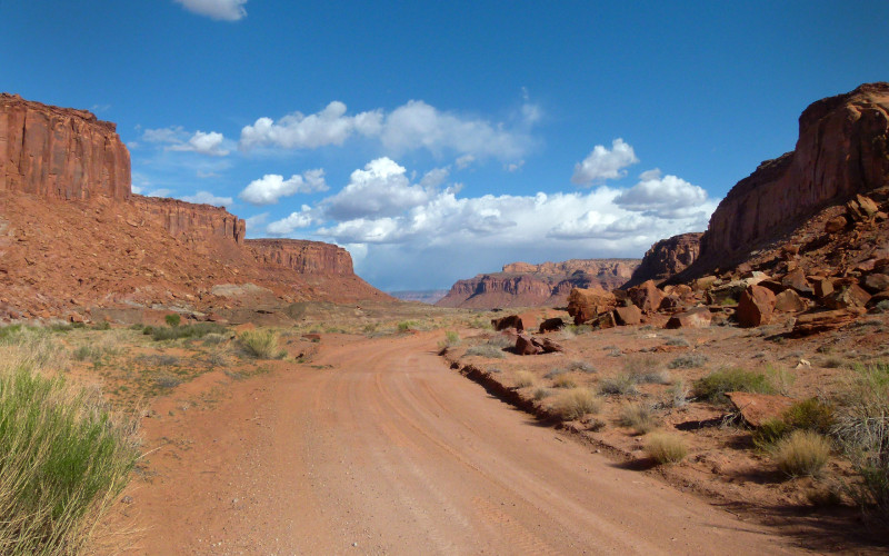
Look for the minor petroglyphs on the boulders along the road when a major canyon opens to the south.
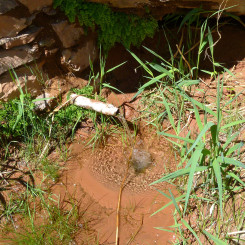
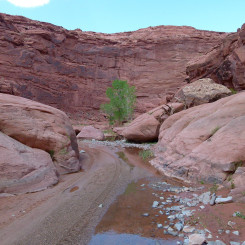
Soon water should be running and you will approach the best spring in the canyon. Leave the road and find the constructed and piped improvement in the brush along the northern wall of the canyon.
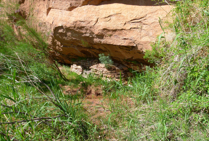
The canyon continues to be lush for the next mile or so. There are a few spots that can be rough for vehicles after a recent storm.
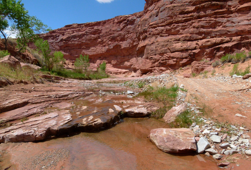
nice water in mid-canyon
Soon you will come to where water dries up. At this location there is a big wall with a bunch of petroglyph on the south-facing wall.

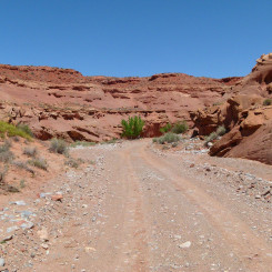
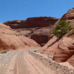
Without the stream the walking becomes even faster as one moves up the canyon. The canyon becomes slightly entrenched as it cuts through the Navajo Sandstone.
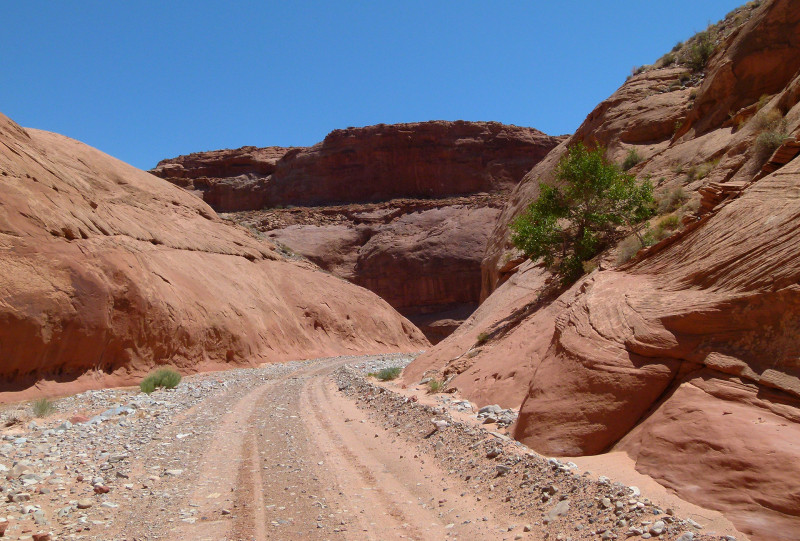
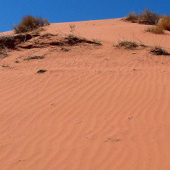
As the canyon opens up a bit there are a few spots where it’s possible to exit to the south. If heading for the Low-Elevation Henrys Alternate go this way.
The canyon tightens up again and the road actually leaves the canyon briefly. It’s possible to just stay walking in canyon and re-connect with the road after a few bends.
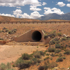
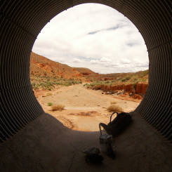
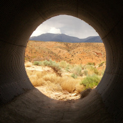
Very soon after this one will see the large culvert ahead at Hwy 95.
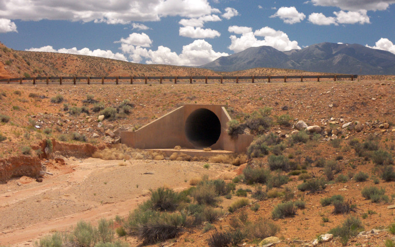
the culvert at Hwy 95
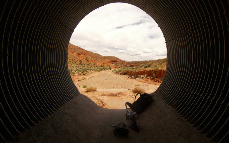
If it’s a hot day, this is a great place to get out of the sun and take a break. You deserve it — you just finished Section 4 of the Hayduke Trail!
Video Reference:
Gallery:
- Poison Spring Canyon Map
- looking down on Dirty Devil and the road crossing
- looking down on Dirty Devil and the road crossing
- muddy feet after crossing the Dirty Devil
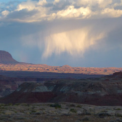
- looking south to the Red Benches
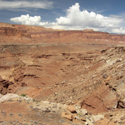
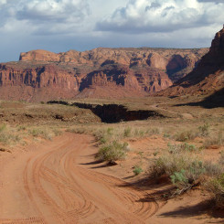
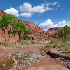
- looking up Poison Spring Canyon
- Looking across to where road enters lower Poison Springs Canyon
- just below the Black Jump
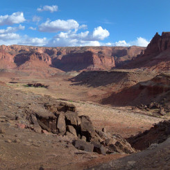
- looking east toward the Black Jump
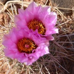
- spring bloom on a cactus
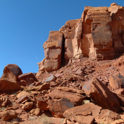
- large chunky blocks of Wingate Sandstone
- water begins to run consistantly
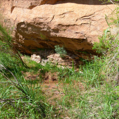
- best spring in the canyon
- piped spring in the mid-canyon area
- section which is occasionally impassible to vehincles
- nice water in mid-canyon
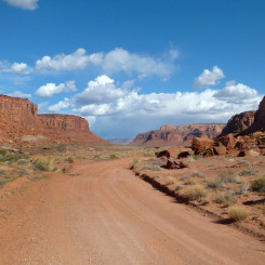
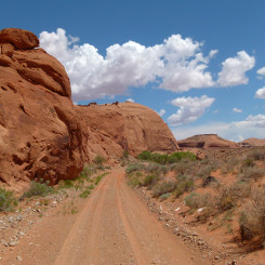
- road in Poison Spring Canyon
- petroglyphs near where water begins to flow
- petroglyphs near where water begins to flow
- upper Poison Spring Canyon is dry
- nice entrenched stretch
- dunes south of PSC along Low-elevation Henry Route
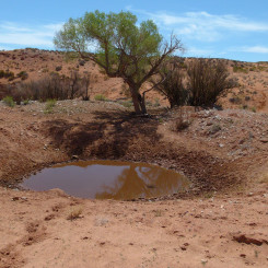
- cow waterhole south of PSC along Low-elevation Henrys alt route
- Upper Poison Spring Canyon
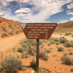
- road sign in Upper Poison Spring Canyon
- the culvert at Hwy 95
- cool place to make a re-supply
- culvert view | The Henry Mountains ⮞⮞⮞
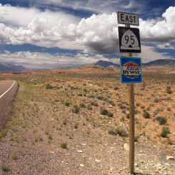
- Highway 95
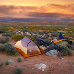
- sundown near Hwy 95
- looking up to the Henrys (Bull Creek Pass center)
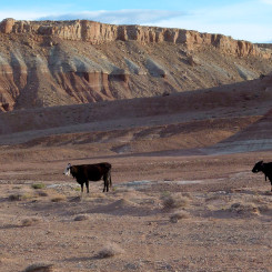
- Many cows near Hwy 95


