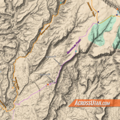
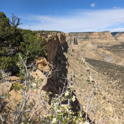
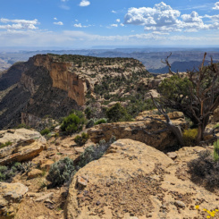
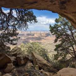
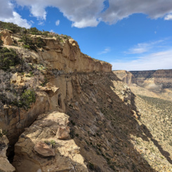
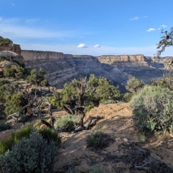
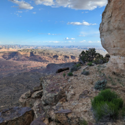
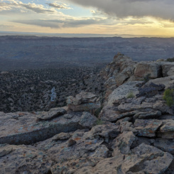
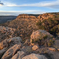
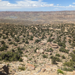
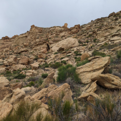
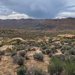
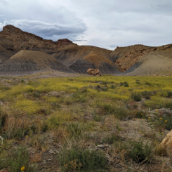
![]() In Section 7 of the Hayduke Trail hikers leave Hole in the Rock Road and climb up to the top of Fiftymile Mountain. Once there they head for the Mudhole Spring area. Here the official route swings to the north across the plateau to the upper reaches of Monday Canyon to descend to Rogers Canyon. I really didn’t like the route through Monday Canyon the first time I did it — a sentiment which seems to be shared with several Haydukers I’ve spoken with over the years. On subsequent trips I found it more enjoyable, but still wondered about a possible alternate via Mudholes Point. I finally tried that in spring of 2023 and I’m happy to report that it went well and IMHO it’s the best way to go. The route along the ridge and the edge of the sheer cliffs is amazing and provides extensive views in all directions at times; thus I dubbed this alternate the Mudholes Ridge Route.
In Section 7 of the Hayduke Trail hikers leave Hole in the Rock Road and climb up to the top of Fiftymile Mountain. Once there they head for the Mudhole Spring area. Here the official route swings to the north across the plateau to the upper reaches of Monday Canyon to descend to Rogers Canyon. I really didn’t like the route through Monday Canyon the first time I did it — a sentiment which seems to be shared with several Haydukers I’ve spoken with over the years. On subsequent trips I found it more enjoyable, but still wondered about a possible alternate via Mudholes Point. I finally tried that in spring of 2023 and I’m happy to report that it went well and IMHO it’s the best way to go. The route along the ridge and the edge of the sheer cliffs is amazing and provides extensive views in all directions at times; thus I dubbed this alternate the Mudholes Ridge Route.
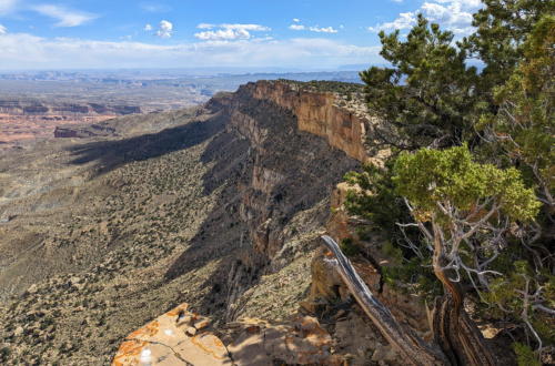
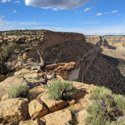
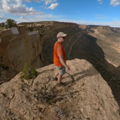
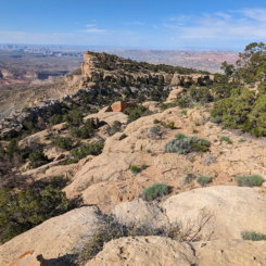
along the ridge route
PROS:
- Shorter/Faster (approx 9 miles vs 14 miles)
- Incredibly scenic along the ridge
- Fairly reliable Verizon reception along the ridge
- Interesting geology/archaeology
CONS:
- Less likely to find water
- Lower section is tedious (but no worse than Monday Canyon.)
ROUTE DESCRIPTION
This route connects the Mudhole Spring area to Rogers Canyon and generally consists of three sections:
- Land of Cows
- The Ridge
- The Descent
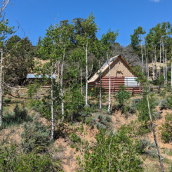
Before heading out fill up on water near the cabin. The official spring is up the drainage, but there’s been a spigot by the cabin for a long time. In spring of 2023 the nice tank/pipe was gone, but a new alternate waterworks system had been installed closer to the cabin and it worked fine. Please don’t leave trash behind. I hope I’m preaching to the choir here, but unfortunately the area around the cabin has become littered with empty bottles and trash in recent years. #LNT
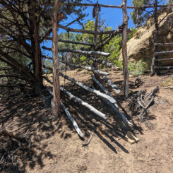
Instead of following the Hayduke Route up the drainage, head the opposite direction (to the left of the cabin). One will almost immediately pass an old outhouse and then a barbed-wire fence/gate. Once on the other side of the fence leave the drainage on the opposite side via a cow trail going past another interesting gate seemingly used to wrangle cattle.
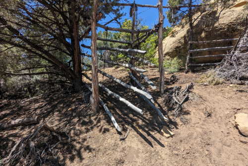
Cattle Gate
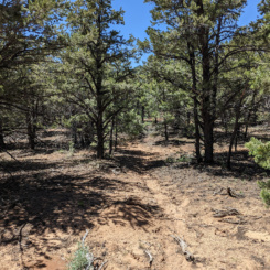
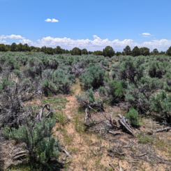
Keep following the well-defined cattle trail gradually up and through the forest to the west. It’s fairly fast walking and eventually the landscape will transition to a sagebrush field in about a mile. The cattle trail will continue for a while but then eventually fade out. At this point one should just continue generally SW through more sage and eventually toward the next high point on the map. Make sure to avoid getting pulled down toward the big drainage to the south.
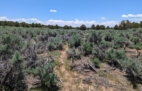
cow trail through sagebrush
Once near the barely-prominent high point you might get some glimpses of the canyons to the south. From here one should head that direction aiming for the western rim of the small gully seen on the map. Stay on the right side of the forming canyon to reach “The Ridge” section of the route.
NOTE: one is likely to find water in the small gully near where it meets the cliff’s face. There was a good tank in May 2023. That was a very wet year, but SAT imagery seems to indicate that it is likely to persist through most seasons. There looked to be an easy scramble down just above the tank. I didn’t see any other water along this alternate.
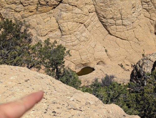
small gully water tank
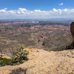
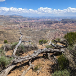
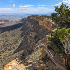
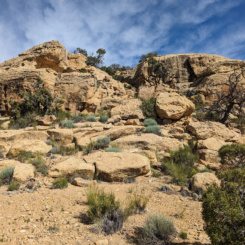
From here the fun begins as one begins walking along the sheer cliffs that comprise the southeastern edge of the ridge providing expansive views. One peers over the area known as Little Valley, across the Grand Bench Neck and to the southern end of Fiftymile Mountain, and on to Navajo Mountain in the distance.
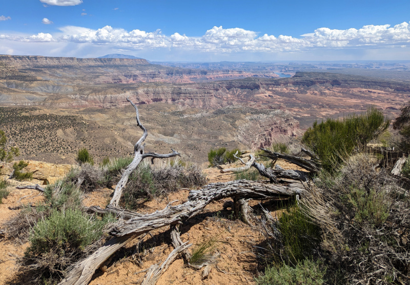
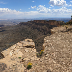
along the ridge route
The next mile or so is great walking. One can can walk as close to the edge as he/she dares, but in general the ridge is fairly flat and the views are non-stop.
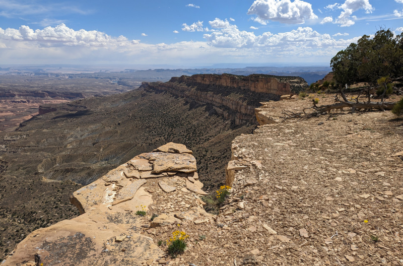
nearing first saddle
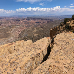
Eventually one will come to the first of two major saddles along the ridge route which requires some minor scrambling. Here’s looking ahead to Saddle #1:
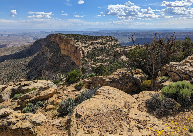
the first saddle
From here one must scramble down through a jumble of boulders to reach the saddle. It will take some scouting to find the best route, but with time one should be able to find a pretty easy route down. Once down in the gully of the saddle, I walked down to the west for about 5-10 minutes before finding a place to climb back up to the ridge. This was was the only place along the entire route that I took my pack off in order to scramble up or down. The exposure isn’t bad — but it’s still a place to be careful as a fall in such a remote location could be bad!
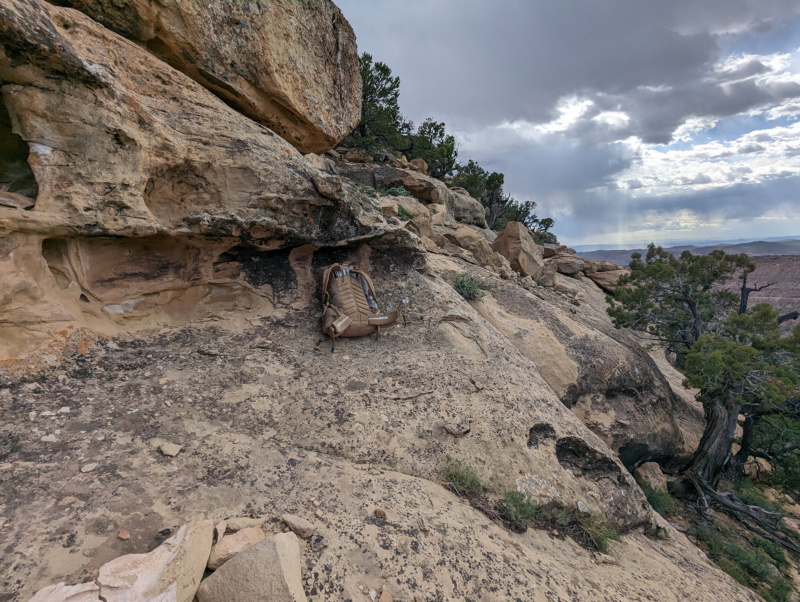
scrambling up out of saddle
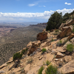
Once back on top continue following the ridge to the SW. The views continue to be fantastic.
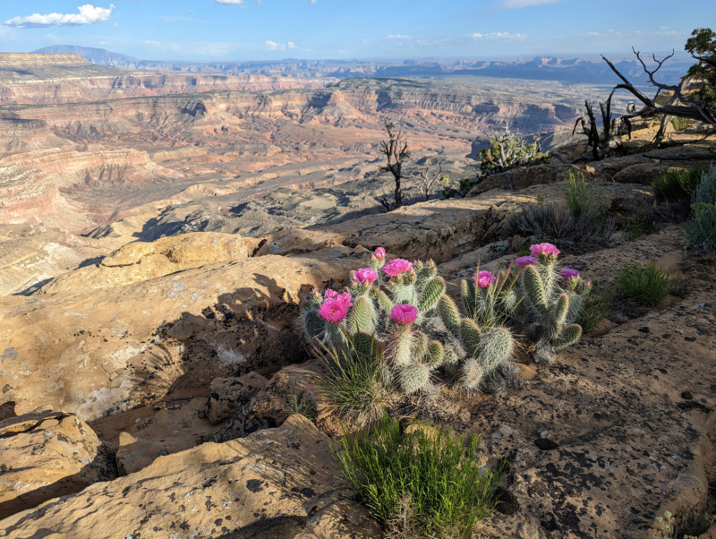
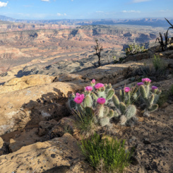
cactus along the ridge
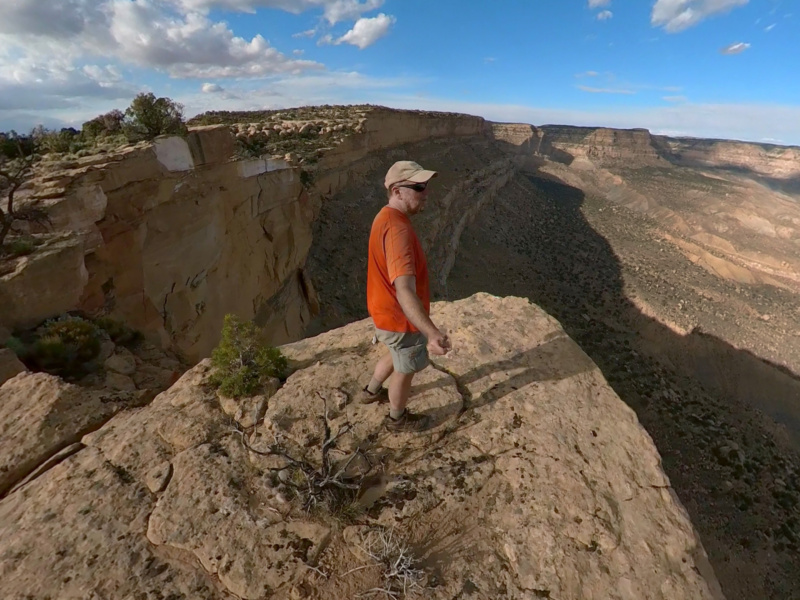
The next mile or so along the edge is a bit rougher than the first stretch and requires more up/down, but it’s still fairly easy with excellent views. There are a few outcrops where it’s possible to pass on the left-hand “inner” side instead of climbing up and over. In general it’s a fast walk and before long one should be close to the second saddle — unless like me one makes numerous stops for photos/videos OR to take advantage of the ample Verizon coverage in this area. One way or another one will eventually be looking at Saddle #2:
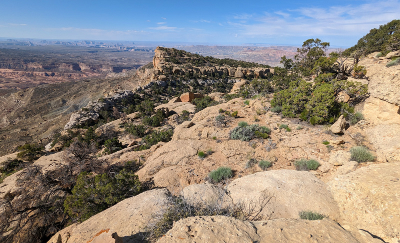
looking toward Second Saddle
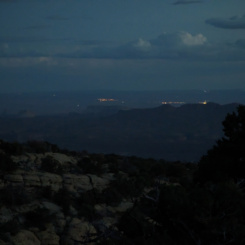
Saddle #2 was a bit more tricky to descend. It wasn’t hard — it just took longer to find the best route. I actually spent the night here along the ridge. I’d originally planned on dropping off the cliffs to the west and into Sunday Canyon. However, after scouting the area it just seemed too tedious and less scenic. That night I was surprised to see city lights off in the distance, but quickly realized is must be the Page area in Arizona. The next morning it didn’t take too long to find a fairly easy way down into the saddle along the eastern flank (the left side in the above photo.)
From here there was no apparent easy way back up to the ridge. It might have been possible farther down, but at this point I was anxious to begin the descent towards Rogers Canyon. There are probably numerous ways “down” from this point. I’ll describe the way I went, but TBD if it’s the “best” route. Feel free to explore as you go and lmk if you find a better or more interesting way.
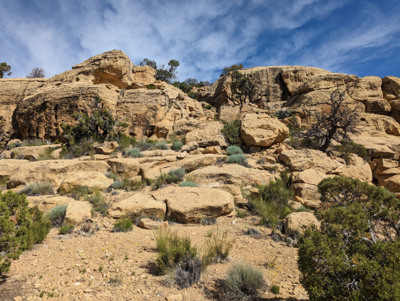
lookin back up at route down
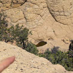
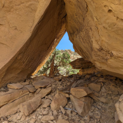
I began the descent going down the gully from Saddle #2 to a group of HUGE boulders at the edge of a white-stripped cliffband. From here I contoured to the left for a ways until it was easy to drop down another level. I thought I might find water in this drainage, but it was bone dry. I did however spot a “chunky” arch in this area somewhat hidden in the cliffs:
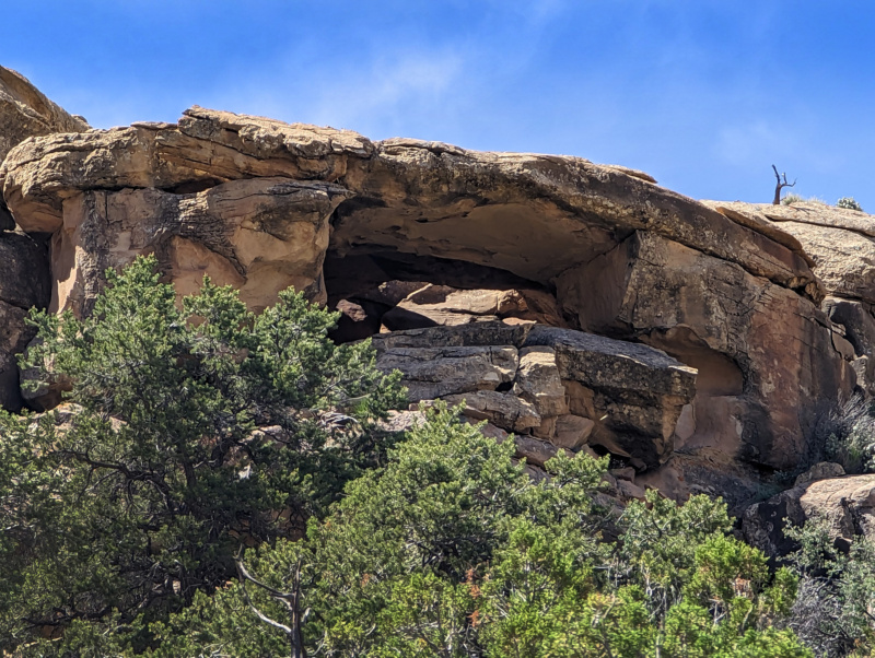
chunky arch
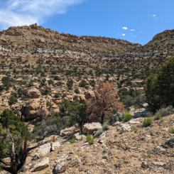
After rounding the corner and a bit of steep talus I was down and below the upper cliffband. From here one can more or less make a beeline for Rogers Canyon. This final 2-3 miles can be tedious as the slopes are filled with boulders and minor gullies — nothing hard, just tedious. There’s also some crypto to avoid. The final minor obstacle is a somewhat hidden cliffband. Again it’s not hard, it’ll just take a bit of scouting to find the best place to get down. Looking back up at my route where I descended from the top right of the photo:
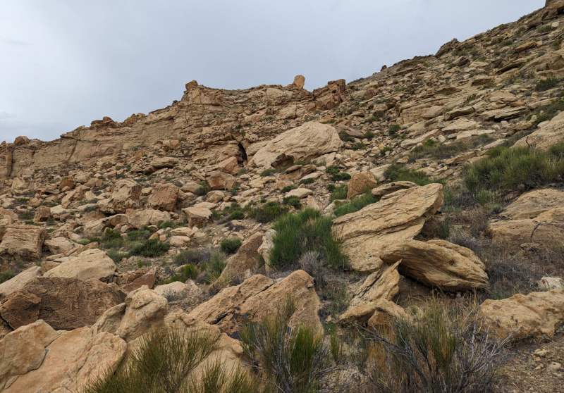
route down western cliffband
After that it’s not too much farther to connect with Rogers Canyon where one can link back up with the official Hayduke and continue up Navajo Canyon.
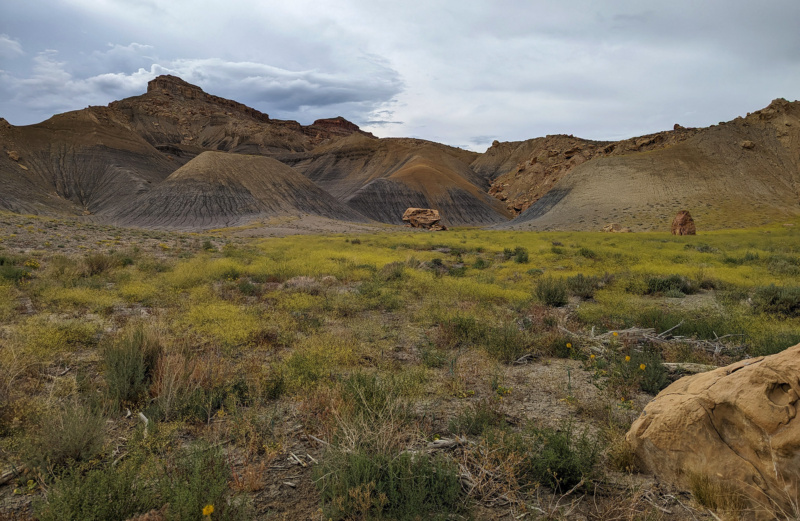
Rogers Canyon
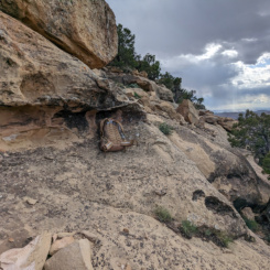
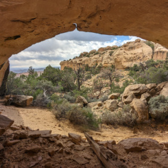
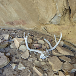
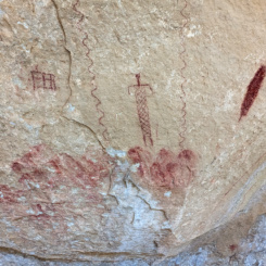
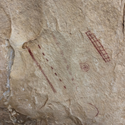
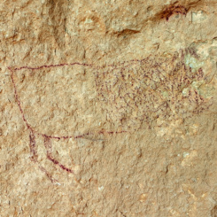
BTW — there’s also at least one archaeology site along this route. I don’t wish to note it on my maps, but one is very likely to stumble across it. Please don’t touch the rock art and leave everything as is. This was the first site I’ve ever found where there were no footprints! I’m sure many others have been there, but it’s likely not visited often and the wind has time to wipe away traces of visitors.
GALLERY:
- Cabin near Mudhole Spring
- Cattle Gate
- cow trail through forest
- cow trail through sage brush
- small gully water tank
- view from the ridge
- along the ridge route
- along the ridge route
- along the ridge route
- nearing first saddle
- along the ridge route
- looking back
- the first saddle
- small overhang
- cliff face
- scrambling up out of saddle
- view back
- overhang point
- cactus along the ridge
- inside passage
- looking west
- western flanks and Sunday Canyon
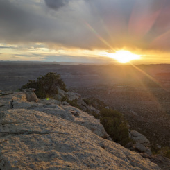
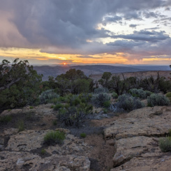
- sunset on Kaiparowits
- sunset on Kaiparowits
- Page city lights
- looking toward Second Saddle
- lookin back up at route down
- big rocks
- chunky arch
- looking back up at route
- across the plain of boulders
- route down western cliffband
- Rogers Canyon ahead
- Rogers Canyon
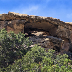
- interesting alcove
- alcove
- rock art


