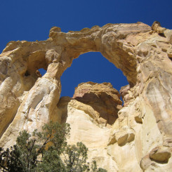
After hiking Fiftymile Mountain, Monday Canyon, and Navajo/Reece Canyons, the final stretch of Section 7 along the official Hayduke Route travels up Last Chance Wash and Paradise Canyon, and then follows a series of backroads over to Grosvenor Arch. This segment across the Kaiparowits Plateau is still really remote — though it might not always feel that way with the frequent sight of rancher embellishments and roads. It’s still a region few people ever see.
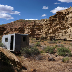
As hikers end their journey down Reece Canyon, they arrive at an old corral and trailer seemingly in the middle of nowhere. This is where Reece intersects Last Chance Wash. Here Haydukers will turn right to go up canyon. Last Chance gets its name for the abundance of water in a predominately dry region. Despite this, one may actually find it to be dry at the junction here. But, not to worry, water should appear shortly up canyon.
NOTE: the BLM warns that the water in Last Chance is frequently alkaline. I’ve personally never had a problem with it after filtering, but be wary if sensitive to this.
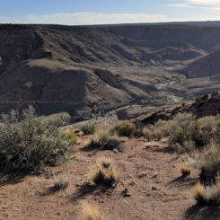
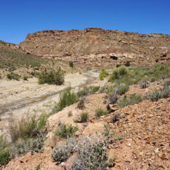
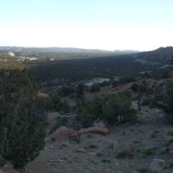
As one heads up canyon they will find this section to be fairly wide open. Here’s a view of the area from atop the Reece Saddle Shortcut Route:
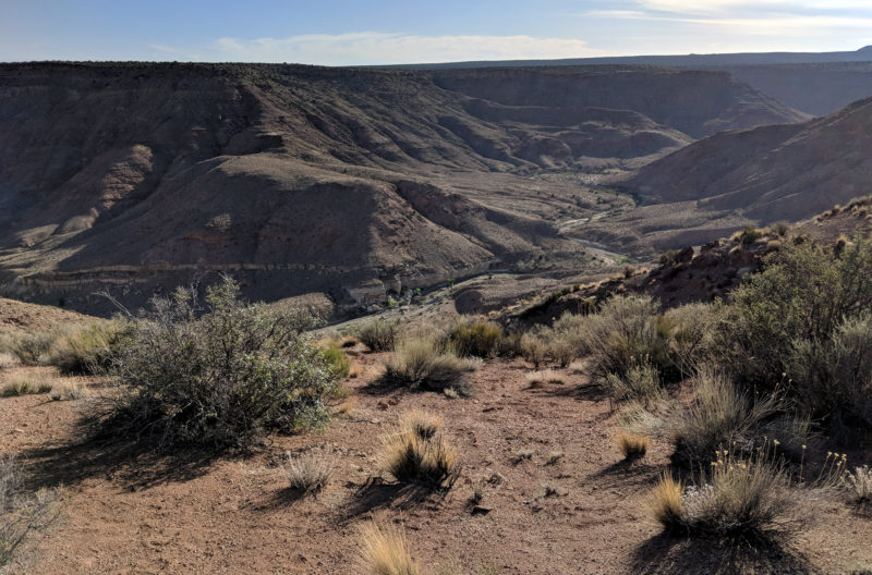
Above Last Chance Wash
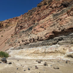
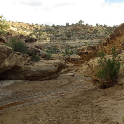
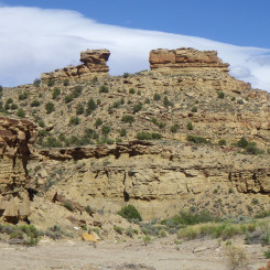
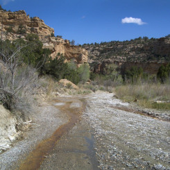
The walking is fairly fast as one heads NW up the drainage. After about 4 miles one comes to a cliff on the right side in a big bend with colorful bands of geology which seems to be in a constant state of collapse. Those who like alliteration may call it the “Colorful Collapsing Cliff”! 🙂
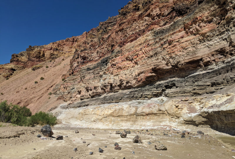
Crumbling Color Wall in Last Chance Wash
Just a short distance farther up, Needle Eye Canyon enters on the left. This canyon can be ascended to eventually get to a good water source and access routes headed to the south off the Kaiparowits if so desired (see my 2018 trip report.)
About 1/2 mile farther up Last Chance, another big canyon, Dry Wash, enters on the right.
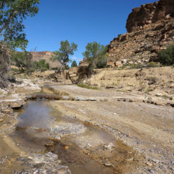
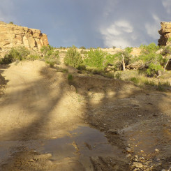
It’s about 3 miles or so when the canyon walls begin to close in somewhat and one is likely to see a decent flow of water.

One might also spot illegal ATV tracks in this area as in just another few miles one crosses Smoky Mountain Road before continuing up the wash.
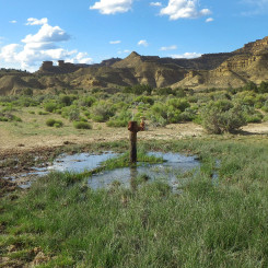
In the 3 to 4 miles above SMR, the canyon opens up again with the high cliffs set farther back from the wash. One will pass two wells in this section — the first on the right and then the second on a bench on the left. Neither can really be seen from the wash itself, but one is likely to notice an influx of surface water. Both of these wells gush water from a piped source, unfortunately the water itself is tainted with a sulfuric/metallic taste rendering it awful. Luckily it doesn’t seem to contaminate the surface water nearby.
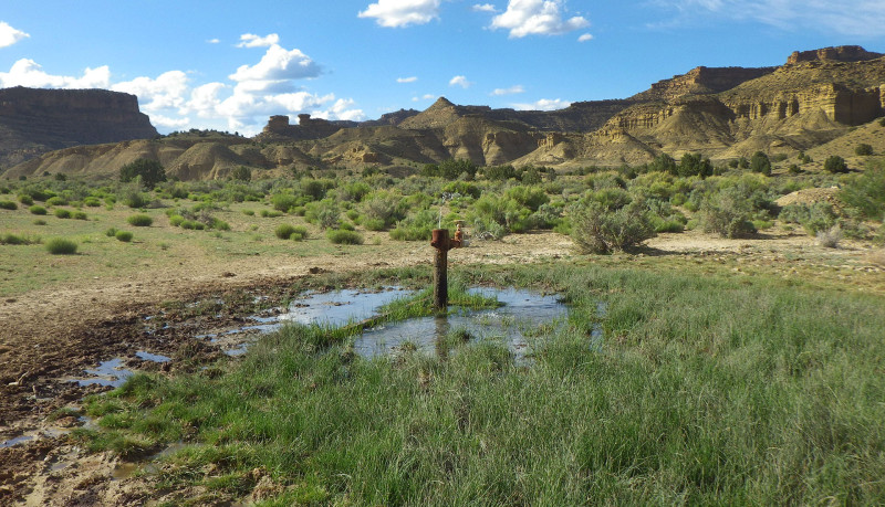
Last Chance Well
In about another mile one comes to a junction of canyons. This is the upper end of Last Chance where it splits into Paradise Canyon and Escalante Canyon. Haydukers will want to veer left and continue up Paradise.
Headed up Paradise one should stay in the main drainage for the first 5 miles or so. This is fairly easy to discern as one goes, but keep an eye on the map just in case. The middle part of Paradise has a pretty good flow of water in the spring season.
At a little more than 5 miles up from the bottom of Paradise, one comes to a split in the canyon where they should go left and leave the main fork of the canyon.
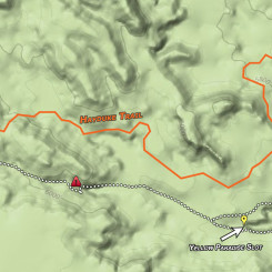
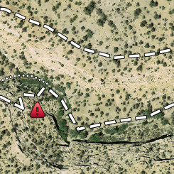
In just about another 1 mile, one sees a big stone “island” in the middle of another junction in the canyon. Here the official Hayduke goes right, but one might consider going left to check out the “Yellow Paradise Slot” Alternate. Even if you don’t take the full alternate (you should — it’s a fun shortcut!), take 20 minutes to go up and see the slot from the bottom:
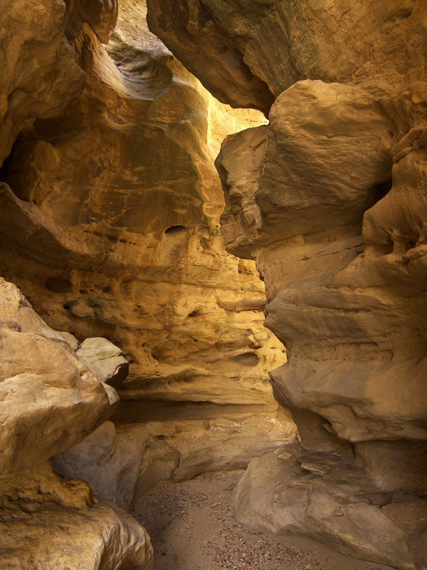
Yellow Paradise Slot
Staying on the official Hayduke one soon comes to a “seep” area as labeled on the map and there is more old rancher corral/gear/etc. Just above this area look for a gravel road entering the canyon on the left. Get on the road and get ready for a long stretch of road walking all the way to Grosvenor Arch!
NOTE: there are several sections of the road walk which can be slightly shortened by going cross-country. I won’t detail these, but keep your map handy and use your best judgement.
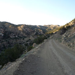
Leaving Upper Paradise, head up the road as it swings back south and quickly climbs above the canyon and eventually up to a high ridge where it intersects the Horse Mountain Road in about 2.5 miles. Take a left here. In just a short distance the road makes a strong right as it descends a hill and heads out into the flats. In less than a mile one comes to another junction. The main road (and the Hayduke) takes a a right here. Alternatively, Fourmile Water is on the road straight ahead if one really needs water. There’s a line shack there with heavy cow presence so the water isn’t the best — but will do if desperate.
It’s about another 5 miles of non-descript road walking to get to the junction with Tommy Water. The main route goes right here, but a diversion of about 3/4 mile to the left will go to another water source.
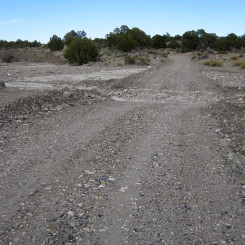
In about another 3.5 miles one crosses Wahweap Wash. There might be some stagnant pools of water in this area or possibly even a small flow. Check just up the wash to increase the chance of finding something. If still nothing and desperate one could go the approx 3 miles up the wash to Headquarters Spring which I’ve always found to be reliable — but really there’s likely to be more water opportunities ahead if you can push on.
After leaving Wahweap the route/road climbs up the hills to the west. The incline provides good views of the Cockscomb formation running south and the lower section of Wahweap Canyon in the distance.
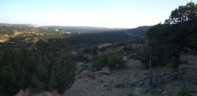
From here the road winds its way through the Cockscomb in a series of ups and downs. Rounding the final bend and before Grosvenor Arch, there’s a large reservoir which is frequently dry, but one might find water here if it’s been a wet season.
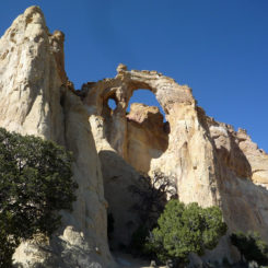
In another 1/4 mile one arrives at Grosvenor Arch and will likely see a bunch of people for the first time in a long ways. 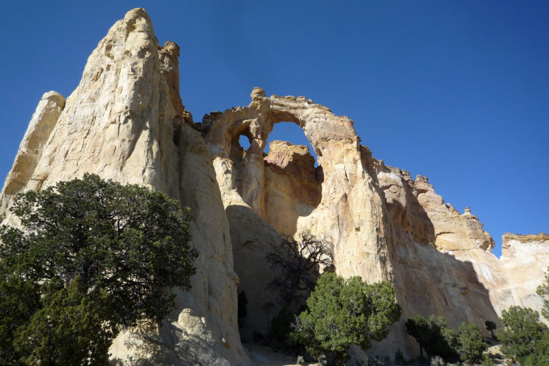
There’s a pit toilet and picnic tables here, but no water or trash. But, you might be able to find a friendly day-tripper to help you out if you are nice about it. If not… there might be water at the Solar Well just south of here. One way or another, try to get water, because you likely won’t find any as you continue on the Hayduke to Round Valley Draw and upper Hackberry Canyon.
Gallery:
- old line shack and corral at Reece / Last Chance junction
- Above Last Chance Wash
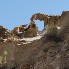
- mini-arch along Last Chance Wash
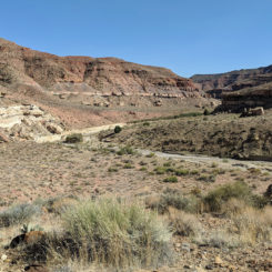
- Last Chance Wash
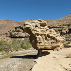
- The “Bird” or “Missouri” Rock in Last Chance Wash
- Crumbling Color Wall in Last Chance Wash
- Last Chance Creek
- Smoky Mountain Backroad
- Last Chance Well
- Last Chance Creek near Paradise/Escalante junction
- Upper Paradise Canyon
- Upper Paradise Canyon
- Yellow Paradise Slot
- upper Paradise area map
- detail map of around slot
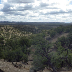
- looking east down the upper Paradise drainage
- road crossing Wahweap Wash
- Under Grosvenor Arch


