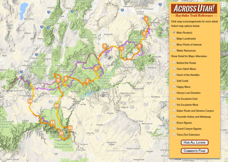
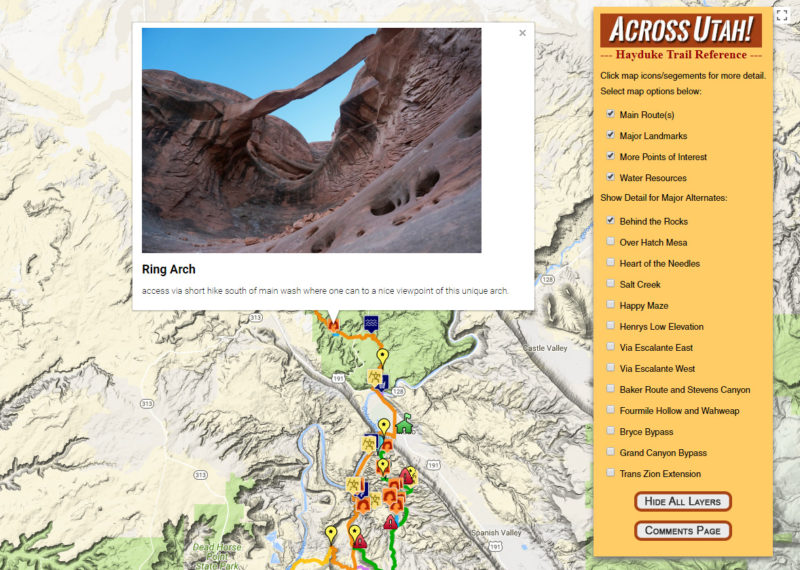
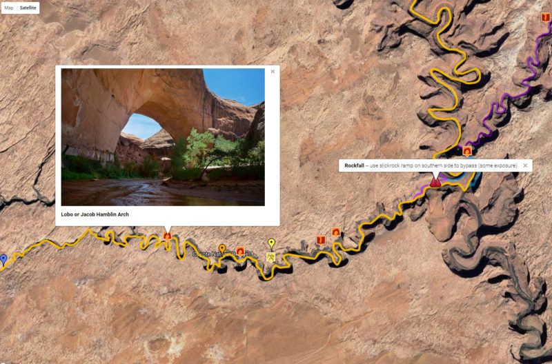
I’ve updated my Hayduke Trail Reference to include an Interactive Map. Similar to my Master Map, this feature showcases the official Hayduke Route and its major landmarks, points of interest and water resources. It also shows many of the possible alternate routes and diversions. Almost everything is clickable allowing users to see photos or get more detail via linked content on my site.
Check out the photos below or jump right to: www.AcrossUtah.com/HaydukeMap
All 14 Sections of the Hayduke are shown with a control panel to customize the view:

Zoom in to see more detail. Click on icons or route segments for pop-up information:

Switch to satellite mode and/or go full screen:

Enjoy!


This is amazing! Is there anywhere I can download the GPX or KML of the route. The main route that is
Thank you! Sorry, no easy way to download tracks here (somewhat intentionally.) As I mention on my Master Map page I can sometimes help hikers with custom KML bundles, But… I still need to update my maps from this spring’s journeys along with the other associated content (videos, reports, etc.) So unfortunately it might be a little while before I can help again this way.
These are great, thank you.
Thanks, Brian!
Once again, THANK YOU very much for sharing all these wonderful, inspiring places.
This is fantastic Jamal. I could spend hours on here. It seems there are no end of treasures in southern Utah.