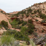
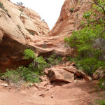
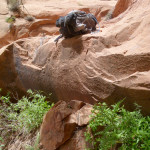
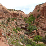
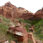
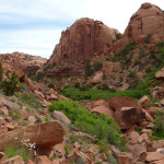
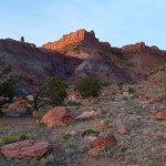
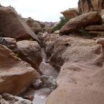
In Section 6, the official Hayduke Route climbs up Red Slide and over the saddle before dropping into the Moody Canyons en route to the Escalante River. What follows here are a few options to deviate from that standard approach. I consider them more scenic, but… the standard route is definitely nice and many hikers may not wish to exert the considerably more effort required for these alternates.
Above Red Slide
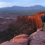
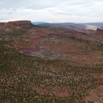
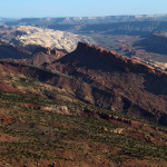
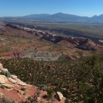
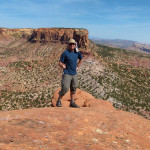
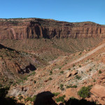
Why just climb up Red Slide, when you can climb ABOVE Red Slide?! Well.. it is harder and slower. But… the view from the top is truly AWESOME:
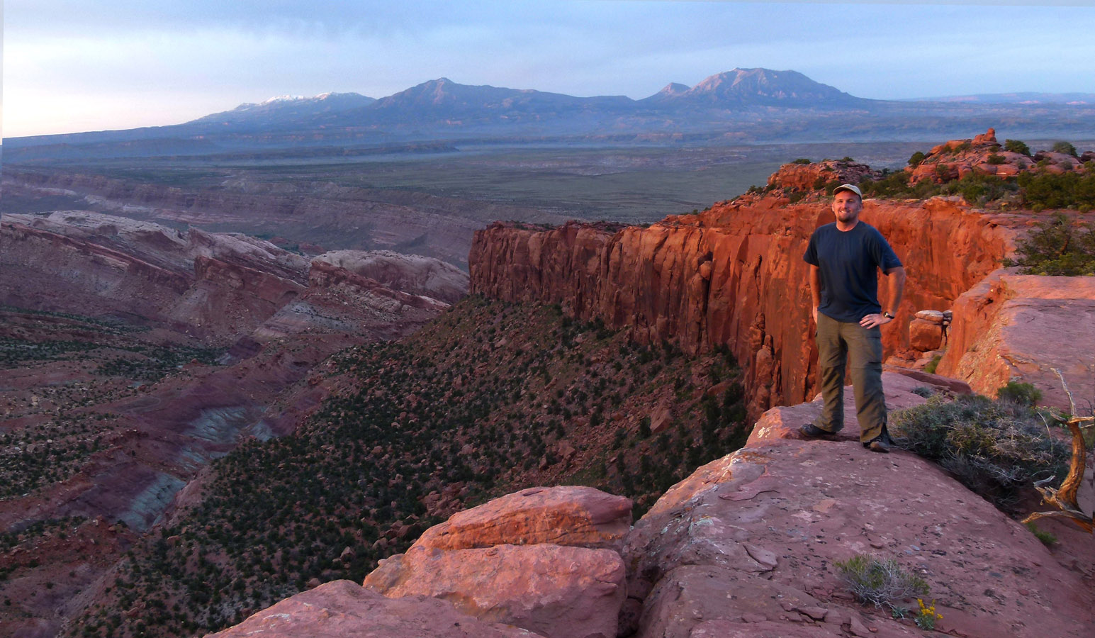
So… if you want to explore this seldom-visited area continue reading.
Disclaimer: I have not personally done the initial ascent as described below. During my Moody Canyons and the Fold Hike, I had to abort the eastern segment due to being short on time/water and the uncertainty of the route connecting. I’ve since confirmed however via two sources that the route is indeed possible — though it’s a tough climb as one may imagine.
About 1/2 way up the Red Slide route, leave that trail and opt for the gulch on the left. Climb the steep slab/talus trying to find the path of least resistance. Eventually the going gets easier and then follow near the edge for the best views. You might even spots some tiny Haydukers way down below you!
 stitched panorama of The Fold (click to see larger)
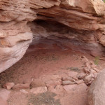
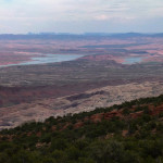
Soon the route becomes less steep as one approaches the top where it’s relatively flat. I didn’t find any water in the area, but there are a few potential potholes. I did however find what was possibly a “sheephunter” shelter from the old inhabitants of this land. There are some views south to Lake Powell as well — but maybe not as good as one may expect based on the map.
From the edge of the sheer cliffs overlooking the Red Slide, one needs to head due south to enter the canyon system which leads back down and to Middle Moody Canyon. Before heading out one may wish to go explore “North Pointy Point”. That was the goofy name I dubbed the nearby spot where a thin arrowhead-like point juts out toward Deer Point. The point doesn’t quite give the great views one might expect because the rugged nature of the area prevents one from finding a (safe) spot to take in the 270-degree view in all its glory. But, it’s still worth a visit if you have time:
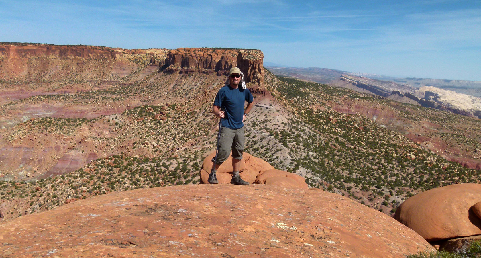
At “North Pointy Point”. Deer Point in background
Headed south one needs to go cross-county to the descent canyon. It’s possible to follow the western edge of the Circle Cliffs where occasionally there are some great views to the west, but most of the time the route is just trudging through moderately-deep sand while avoiding the junipers/cactus. Eventually one intersects the descent canyon and might find water in potholes above the dryfall near the top. Stay on the west side of the canyon and walk along the rim to avoid the dryfall at the top of the canyon. Or, a longer and more rugged option would be to continue headed south along the Fold and enter upper East Moody via the “Sheephunters Route” (see more on this option below.)
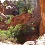
Continuing walking along the western rim of the canyon for just less than a mile. In that area multiple routes make it possible to get down to enter the canyon below two mid-canyon dryfalls which would otherwise stop and/or slow one’s progress:
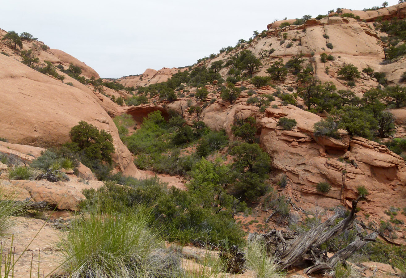
climbing around mid-canyon dryfall
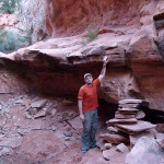
Once at the bottom of the wash and continuing down canyon, one will soon come to another dryfall. At first this one may appear intimidating, but a series of constructed grooves and ledges provide a fairly easy descent. The last “step” might be a little tough for a short/solo backpacker, but it’s not that bad. Here’s the spot from below:
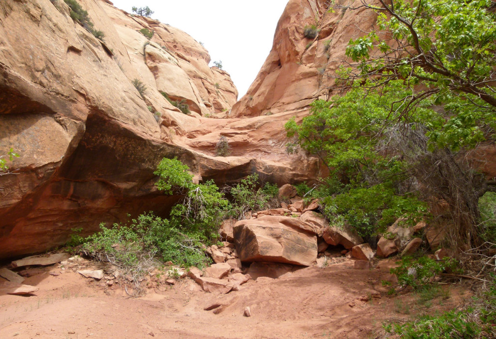
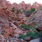
One is likely to find some pools of water in this portion of the canyon. If not, don’t worry there should be a small flow ahead farther down. In another 10 minutes or so down the canyon one comes to another drop. Here once again stay on the western side of the canyon to get past the drop and stay there should be a loosely cairned route which stays high above the wash for the next half-mile or so to avoid the big boulders in the bottom of the wash.
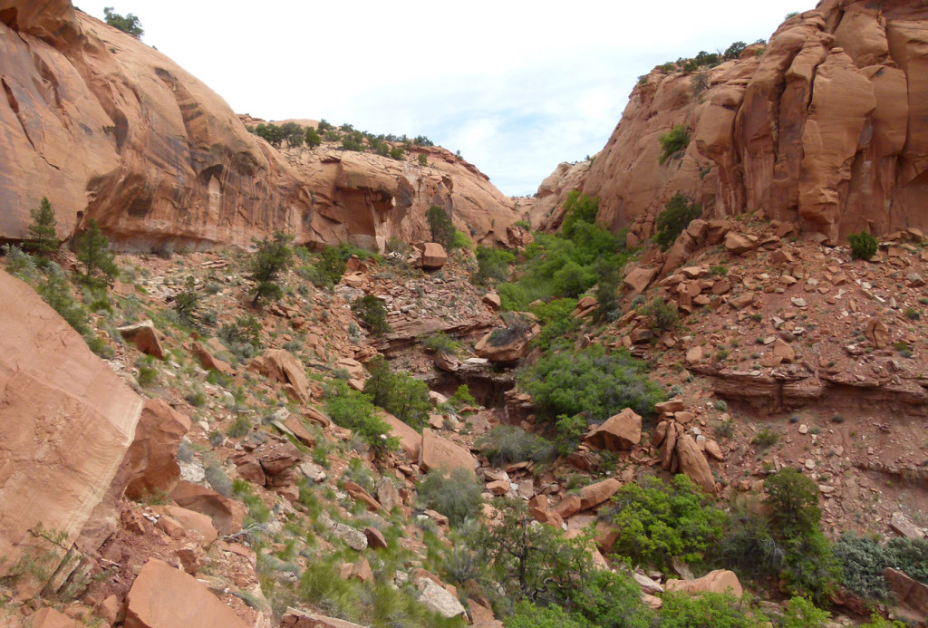
view up canyon from route high on western slope to bypass dryfall and boulders below
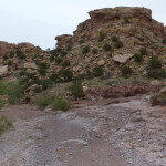
After the route drops back down into the wash one is likely to find running water. The agreed-upon route somewhat gets lost as one makes their way down through the boulder/brush and the last portion of the canyon. Soon the canyon opens up wide to an area with some cool mudhills and balanced rocks. The small stream here is pretty trodden with cow presence, but once filtered I found the water tasted fine.
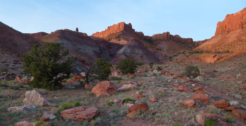
bottom of upper branch of Middle Moody Canyon which provides access to The Fold
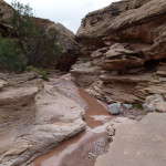
In less than a mile of following the stream/wash, a canyon begins to form. It’s here that one would want to leave the wash to find an old faded road running SW if headed to the East Moody alternate (described below). Otherwise continue down the canyon to re-connect with the Hayduke.
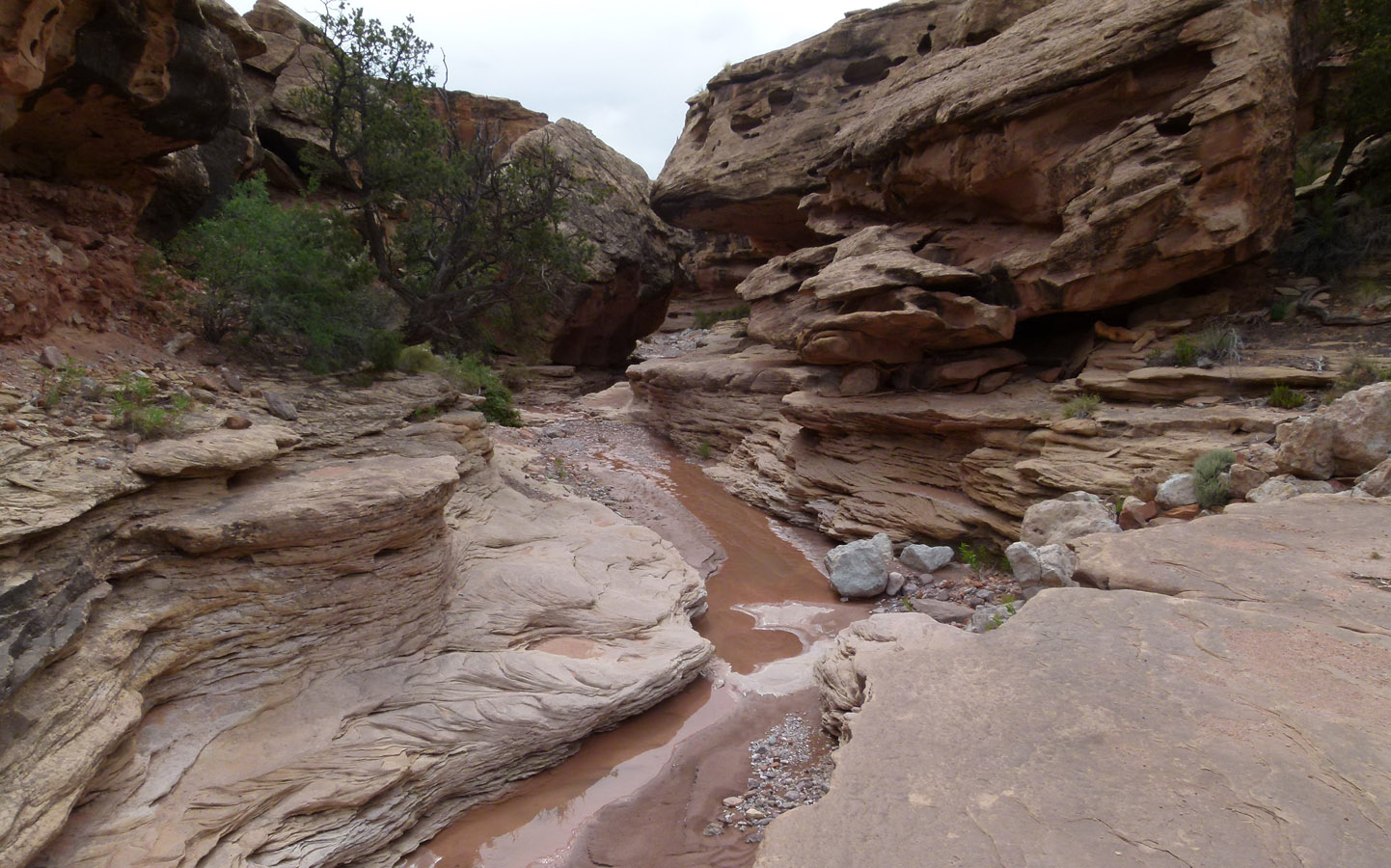
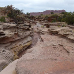
east branch of Middle Moody
The canyon soon becomes more and more entrenched with multiple short drops. Some spots might look intimidating at first, but there’s always a way around without requiring more than an 4′-6′ drop. Of course conditions can change, but there would be alternate ways around if this canyon ever became jammed.
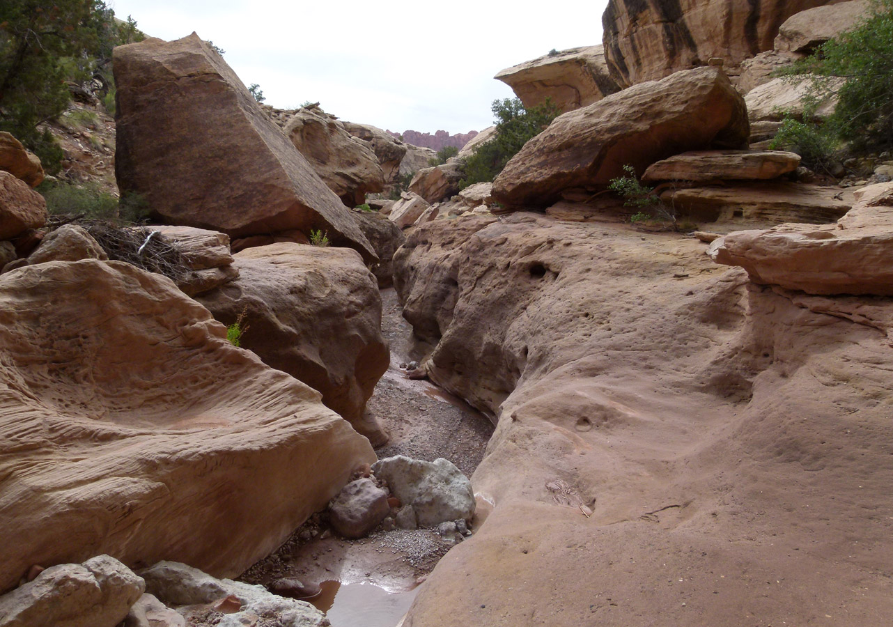
east branch of Middle Moody — minor drops only.
In about a 1/2 mile one is at the junction with Middle Moody Canyon and back on the Hayduke and the official route through the Moody Canyons.
East Moody (via Saddle)
To access the East Moody Alternate, leave Middle Moody Canyon on the left about 4 miles down from the Red Slide saddle/pass. Scramble up the second east-running side canyon for about 1/2 mile. See the photos/description of this side canyon just above in the final portion of the Above Red Slide alternate (and imagine it in reverse.) Once the canyon opens up exit the wash on the right and find an old faded road running SW.
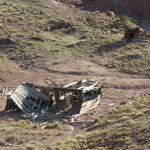
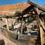
The road eventually turns south toward the hills and one comes to an old dilapidated line shack. Be careful in this area — numerous nails litter the ground.
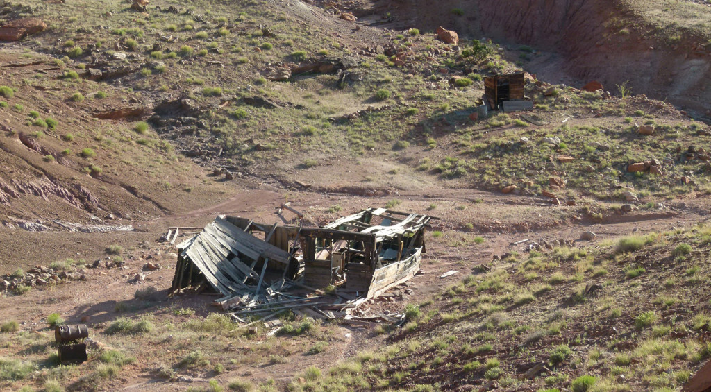
old line shack south of Middle Moody Canyon
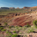
From here the road climbs up the colorful Chinle hills. Looking back are nice views toward Deer Point and the saddle where the official Hayduke crosses from the top of Red Slide:
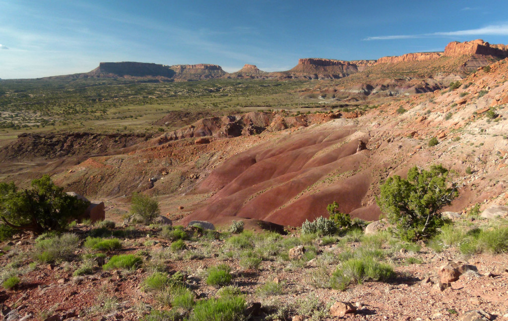
looking toward Deer Point from pass connecting Middle and East Moody Canyons
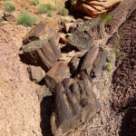
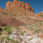
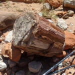
The road continues over the saddle and then drops down into a northern branch of East Moody. The walking is slow through this section as the route winds though the mudhills. One will likely encounter several minor rockfalls/mudslides which require short bypasses. It can be tedious, but this section possibly includes the best petrified wood of the whole area. Look in the side gullies to see the best of the best.
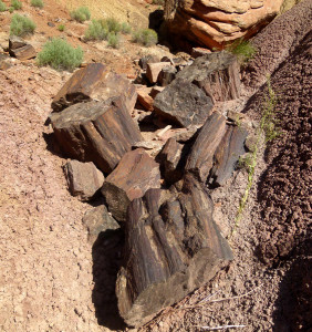
Big petrified wood in north branch of East Moody Canyon
Eventually the canyon opens up and one is at the junction with East Moody proper. Headed down canyon from here the walking is much faster as the wide wash splits through the colorful mudhills and the red sandstone forms the higher walls. More chunks of petrified wood are likely to be seen in the wash as are blooms in the spring. One might find minor outbreaks of water, but otherwise this section is really dry and doesn’t have a lot of shade — not a place one would want to be in the real heat of summer.
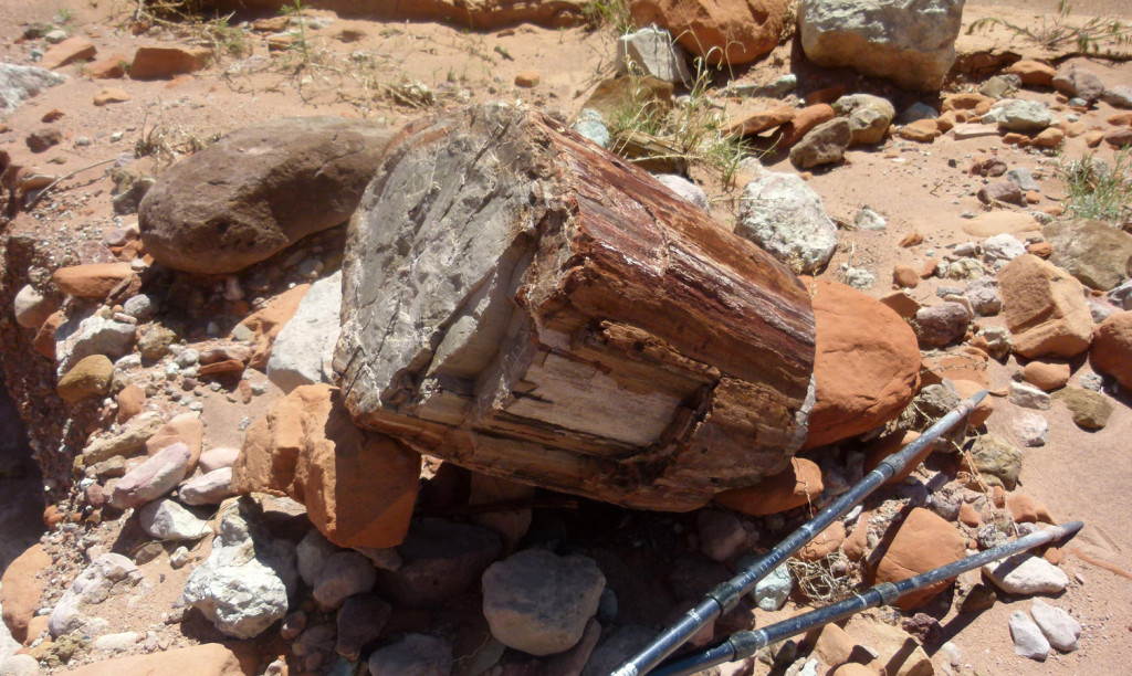
petrified wood in East Moody Canyon
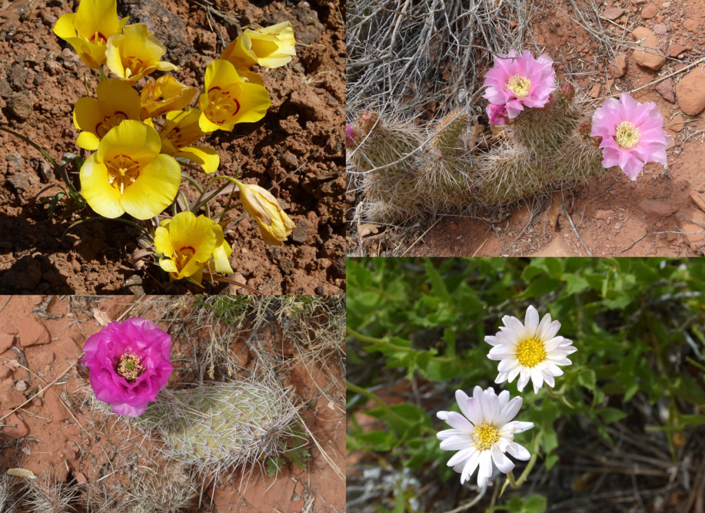
spring blooms in the desert
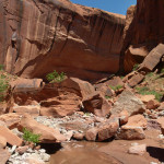
As one comes to the lower end of the canyon it really becomes entrenched. The final few bends are truly spectacular with a small running stream, big alcoves and classic-Escalante high walls streaked with desert varnish. Walking can be slow picking one’s way through the boulders/water, but the section isn’t technically difficult in the least.
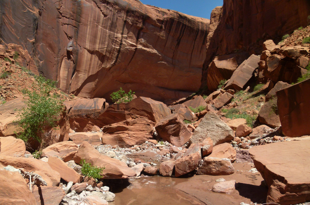
lower bend of East Moody Canyon
Very soon one will be at the Escalante and back on the official Hadyuke Route.
East Moody (via Sheephunters Route)
The “Sheephunter” route is another way one can get into upper East Moody Canyon. The route is definitely the longest and most rugged option described on this page. I’ll just give a general overview of the route. For those more curious, the route is described in more detail in Steve’s Allen’s Guidebook: Escalante Loops.
If connecting from the Above Red Slide alternate described above, the first bit of this route will require about 5 miles of cross-country navigation southward along The Fold. I have NOT personally done this portion of the trek, but have been told “it’s harder than it looks on the map“.
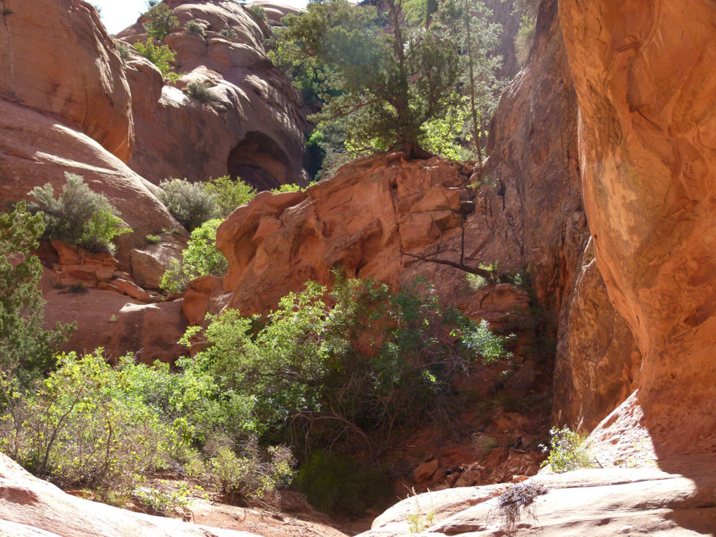
This brings one to the spot where it’s necessary to descend into the upper reaches of East Moody Canyon. Consult Steve’s Allen’s maps to confirm the correct location as this is rugged terrain and he considers this the crux of the route. A narrow, steep gulch leads down to a minor drop to be descended:
Immediately below this is another small drop where a dryfall has scoured out the ground below. Though it’s only about 9′ tall, the drop is overhung in a way which makes it awkward to descend/climb. A hiker-built assist may be found to the side to help:
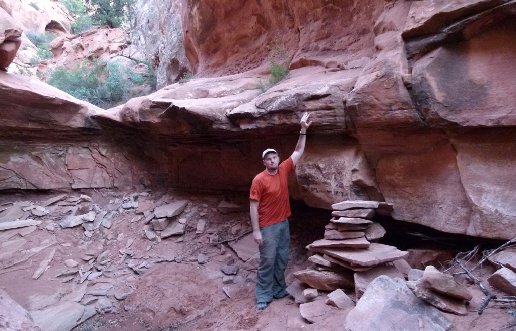
minor obstacle below the crux of the Sheephunter Route
Not too far below this spot the canyon opens up and one must descend a steep boulder field/talus slope to the bottom of the wash.
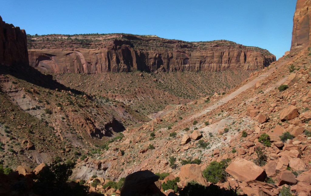
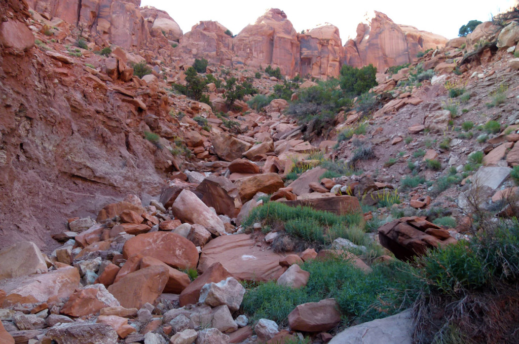
scrambling up/down boulder on the Sheephunter Route
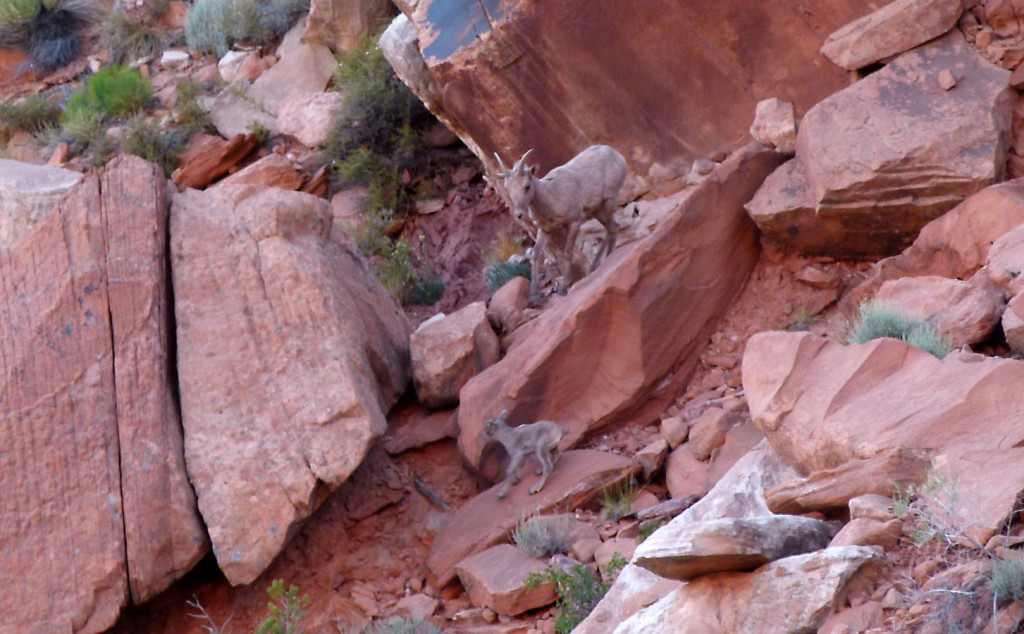
It’s tedious work, but again nothing technical. Watch out for sheep along the way. Seems like they would know to avoid the “Sheephunter” route!
Once down in the wash one is likely to find running water. Be sure to fill up here if needed as the flow soon disappears and one isn’t likely to see any more water until nearly to the Escalante.
Continue down the wide-open East Moody. In about 4 miles one will come to the northern branch which can be used to access this area from Middle Moody (as described above in the East Moody Saddle Alt.) Otherwise continue on down the canyon to the river (also described above in more detail.)
Gallery:
- Final light
- Camp Awesome at the edge of the Fold
- Looking along the cliffs toward Deer Point
- Sundown HDR
- Sundown
- Final light on Mount Ellen | The Henry Mountains ⮞⮞⮞
- Stitched panorama of the Fold
- Old sheephunter shelter?
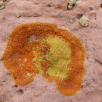
- Lichens near the top
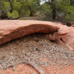
- A rodent has been busy!
- Morning look at the Fold
- Top of the Fold looking toward Lake Powell
- Juniper branch near edge
- Following the edge N
- At the point. Deer Point in background
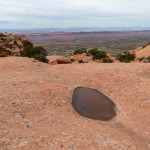
- Solitary pothole on edge of Circle Cliffs
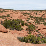
- Overlooking access canyon
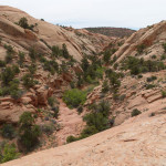
- Back down to access canyon
- Climbing around another dryfall
- Dryfall Obstacle (climb on right side)
- Climbing the obstacle
- Route high on W edge to bypass dryfall
- Climb up through Circle Cliffs
- Climb up through Circle Cliffs
- Upper branch of Middle Moody Canyon
- East branch of Middle Moody — minor drops only.
- East branch of Middle Moody
- East branch of Middle Moody
- Jct. Middle Moody and the branch to the east (right)
- old line shack in Mid-Middle Moody Canyon
- old line shack in Mid-Middle Moody Canyon
- Looking to Deer Point from pass to connecting Middle and East Moody Canyons
- Big petrified wood in north branch of East Moody Canyon
- Dry middle section of East Moody Canyon
- Small amounts of water in upper portion of north branch of East Moody Canyon
- Petrified wood in East Moody Canyon
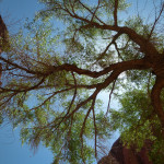
- View up from under a Cottonwood Tree
- Lower bend of East Moody Canyon
- Water pool in lower East Moody Canyon
- Streaked Walls of East Moody | Trip Report ⮞⮞⮞
- Camp near bottom of East Moody Canyon
- Escalante at East Moody Canyon (left)
- Crux of Sheephunter Route
- Obstacle before the crux of the Sheephunter Route
- Looking down from near the top of the Sheephunter Route
- Climbing up to the Sheephunter Route
- Sheep appropriately near the Sheephunter Route
- Moss-covered water in upper branch of East Moody Canyon
- Humming bird in nest
- Rattlesnake — actually tiny in size
- Collared Lizard
- Stick Bug on pack
- Spring blooms in the desert


