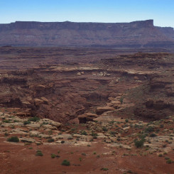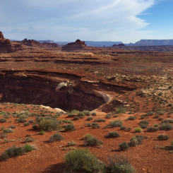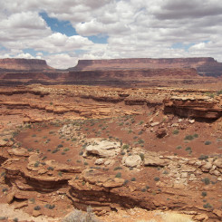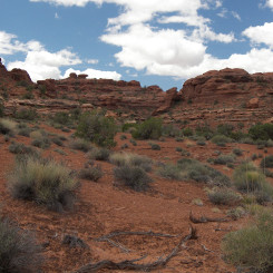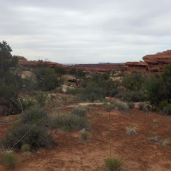
looking north at ridge route
![]()
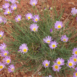
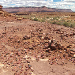
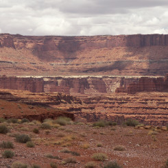
Once west-bound hikers on the Hayduke Trail climb out of Rustler/Indian Creek drainage, the route follows a ridge high above the canyons and along the outcrops of the Moenkopi formation. There are good views east into the Indian Creek Canyon and to the west to Monument Basin and Island in the Sky in Canyonlands National Park. Along the way the ground is littered with with colorful rock (red agate/jasper?) and seasonal wildflowers. One follows high-ground south before finding a spot to drop into what the Hayduke authors named “We-Hope-So” Wash. Getting up/down in this section will require some scrambling and likely some trial and error to find the best route. If the route doesn’t feel safe, look for something easier.
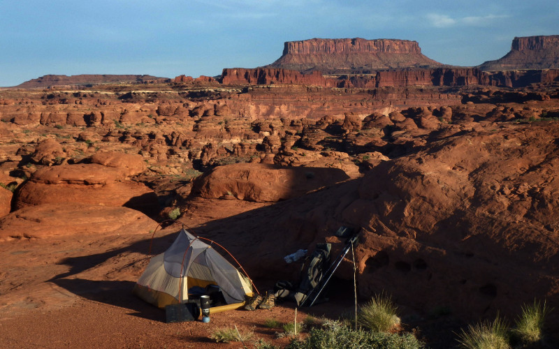
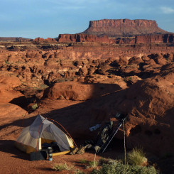
camp above “We-Hope-So” Wash. Junction Butte/Island in the Sky in distance
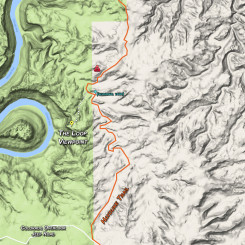
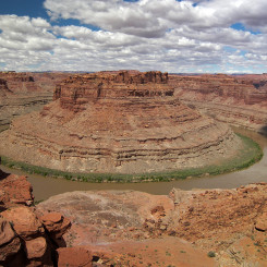
Headed south up the wash a drainage quickly enters from the right (near a prominent tower). This side canyon is a great diversion to the viewpoint of The Loop.
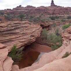
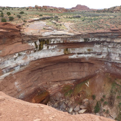
Almost immediately up the main wash one may encounter a seasonal pool tucked under an sizable overhang. If it’s been a wet season there’s likely to be a few outbreaks of water to the south as well over the next mile or so, but the pool is definitely the best chance to find water in the area.
Farther south the canyon begins to branch and one will want to stay right/west and eventually climb back up to high ground and connect with the Colorado Overlook Jeep Road (see my Hayduke Map for a short fun alt that I playfully dubbed Oompa Loompa Ridge.) Once at the road follow it south and into Canyonlands until it crosses Salt Creek which might be dry. Just downstream there may be water though and one should definitely make the diversion to see The Lower Jump and the nearby arch. This is also where one can head out on an easy and more scenic alternate to Little Spring Canyon if headed that way to the official end of Section 2. Read about the official route and the various short alternates on the Little Spring Canyon Bypass page.
However, for those looking to do a re-supply and/or get permits, stay on the road to the south to get to the Visitor Center and/or Needles Outpost. Note that it’s pretty easy to cross Salt Creek to the east and get outside the park boundary in several places if needing to camp before hitting the Visitor Center. From the VC/Outpost area one can backtrack to The Lower Jump to finish Section 2 “By the Book”, or one could head out from there via any one of many alternates. There really are many great ways to get through the Needles District. They all have their respective PROs/CONs. Read my take on several of the options via the page dedicated to Getting Through the Needles.
Gallery:
- area map
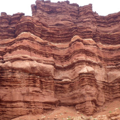
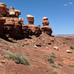
- cool rock walls along ridge
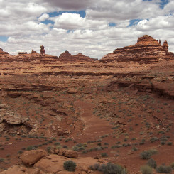
- looking north to high ground
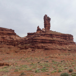
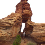
- one of many interesting formations
- spring flowers
- scattered rocks everywhere
- looking over to Monument Basin
- Looking east into Indian Creek (stay high)
- looking north at the route
- descending into “We-Hope-So” Wash
- camp above “We-Hope-So”. Junction Butte/Island in the Sky in distance
- looking up side canyon to The Loop viewpoint
- The Loop of the Colorado River
- large tank near The Loop viewpoint diversion
- upper reaches of “We-Hope-So” Wash
- looking south from “Oompa Loompa” Ridge
- “Oompa Loompa” Ridge
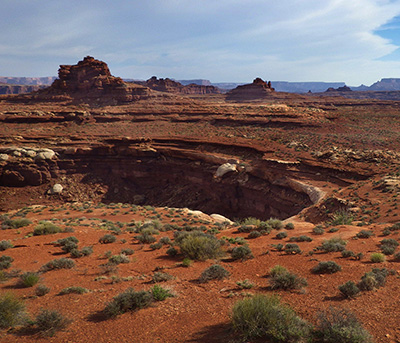
- Lower Jump seen from northern rim
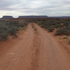
- looking north along Colorado Overlook Road


