This is a throwback report for my 3-day trip to Death Hollow in November 2008.
Death Hollow had long been a destination on my TODO list. For some reason or another it never managed to make the itinerary despite my passing the area on countless occasions. With a short break on the calendar late in the year, I decided to change that and see for myself if all the rave reviews were true.
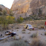
After a long drive from LA, my buddy Josh and I got to the TH just east of Escalante late in the afternoon. We packed up and headed toward the gash in the wall where the upper Escalante River cuts through the imposing sandstone cliffs. We walked along the lava boulder strewn stream-bed where it was easy to keep our feet dry as the “river” was barely a trickle of water. This time of year the cottonwood leaves were a golden yellow, but the days were short and thus we had to make camp only a few miles down the canyon.
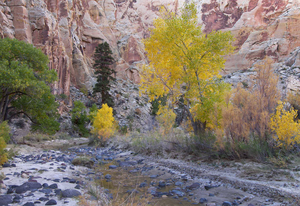
It was a chilly night and it seemed like it took forever for the sun to finally reach into the deep canyon come morning. Once warmed up we continued downstream passing a few panels of petroglyphs along the way. I was surprised that at one point the Escalante stopped flowing all together and we found ourselves walking along a dry stream-bed. This lasted for about 1/4 mile before pockets of muddy water returned. Then, all of sudden, there emerged a torrent of water rushing in from underneath dense vegetation — we were at the entrance to Death Hollow!
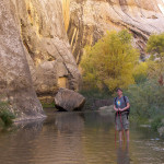
A torrent is probably an overstatement, as though it was relatively quite the volume of water, it was still easy to walk right up the stream which was only shin-deep. In fact, this was really the only method of travel as the banks were either vertical walls or dense vegetation. The water felt good as we walked up stream.
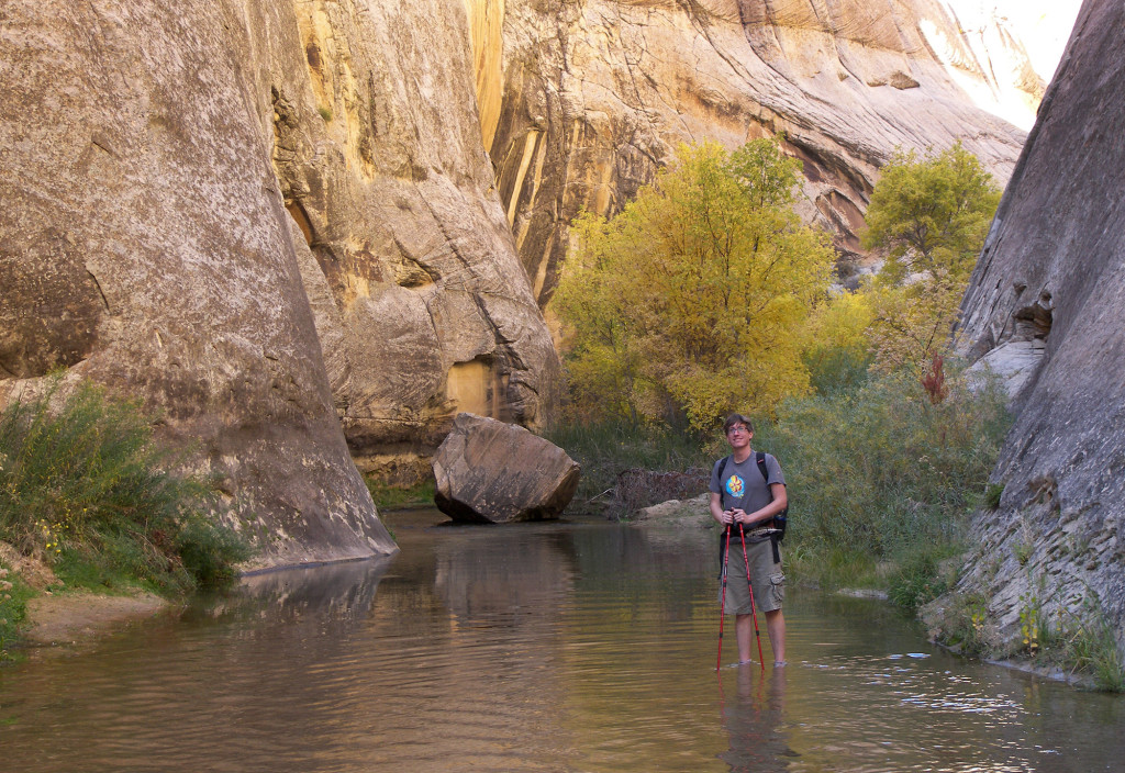
Soon we reached an incredible alcove and stopped for lunch. This is a fantastic spot and it was evident that it was popular for pit-stops (I actually spent the night here on my hike across the state in 2009 where the giant overhang provided the perfect shelter from the downpour that year!)
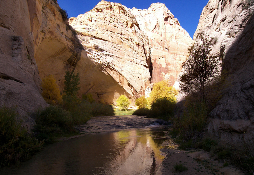
After lunch we headed up canyon where the walls seemed to rise higher and steeper. The next mile or so is truly incredible.
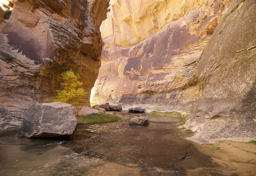
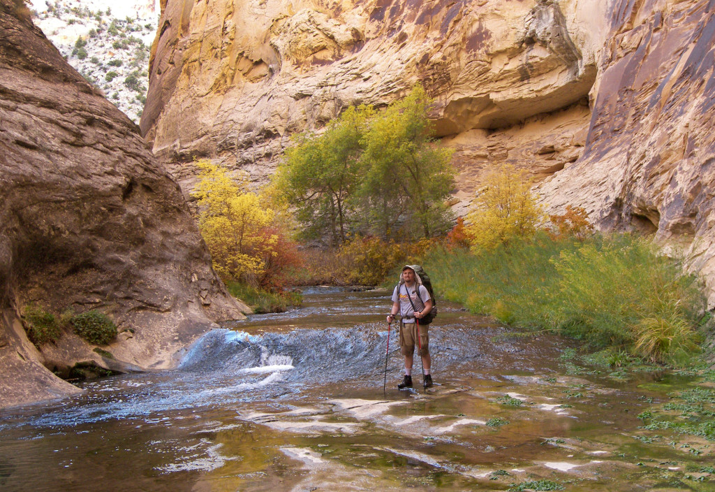
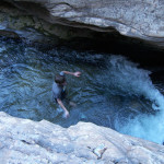
There were several deep pools visible through the crystal clear water, but this was no season for a swim and luckily they were all easy to bypass. One pool required a bit of a “scary step” though. Considered a “swimmer” by some, it’s actually possible to stay dry past this pool by stepping on a 6″ ledge which is submerged a few inches along the side. It requires a moderate stride and you need to just have confidence and go as any break in momentum and you will likely end up in the pool! Here’s the spot:
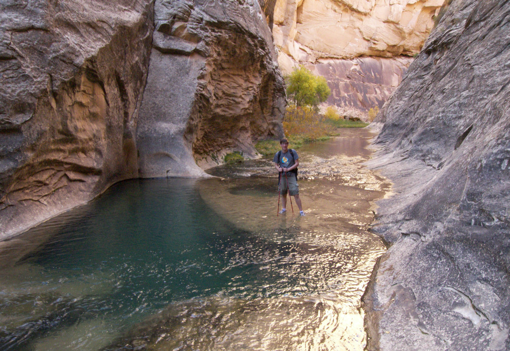
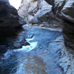
Soon after that we arrived at the narrows. Any hope for staying moderately dry vanished when it became apparent that it would not be possible to climb up and over the ledges. The best bet was to head straight up through the rushing water. It was a little bit unnerving trying to keep the big pack dry in the mid-thigh-deep water and the slippery rocks, but we managed without incident. The water that felt good earlier in the day was now pretty chilly as daylight waned.
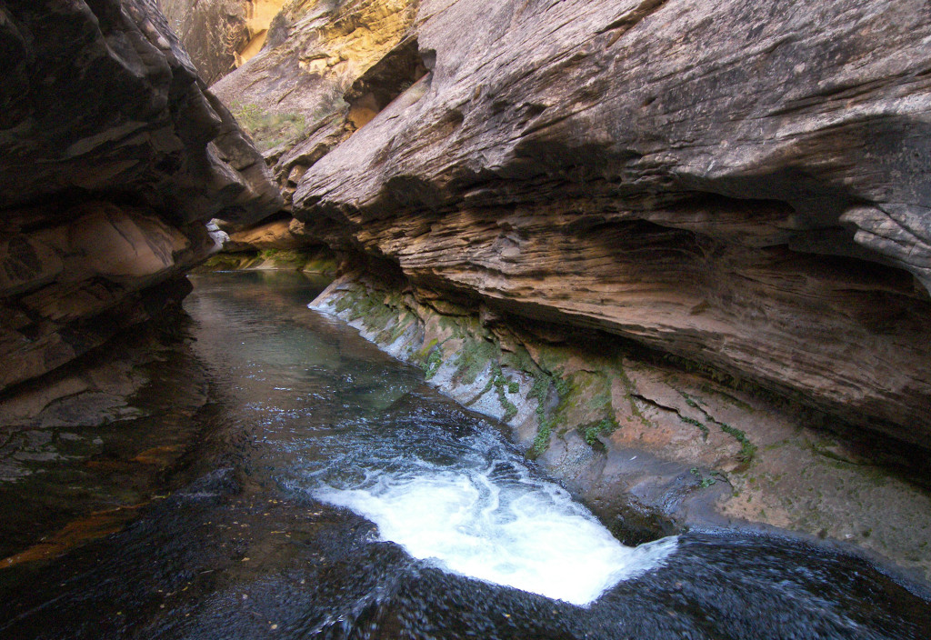
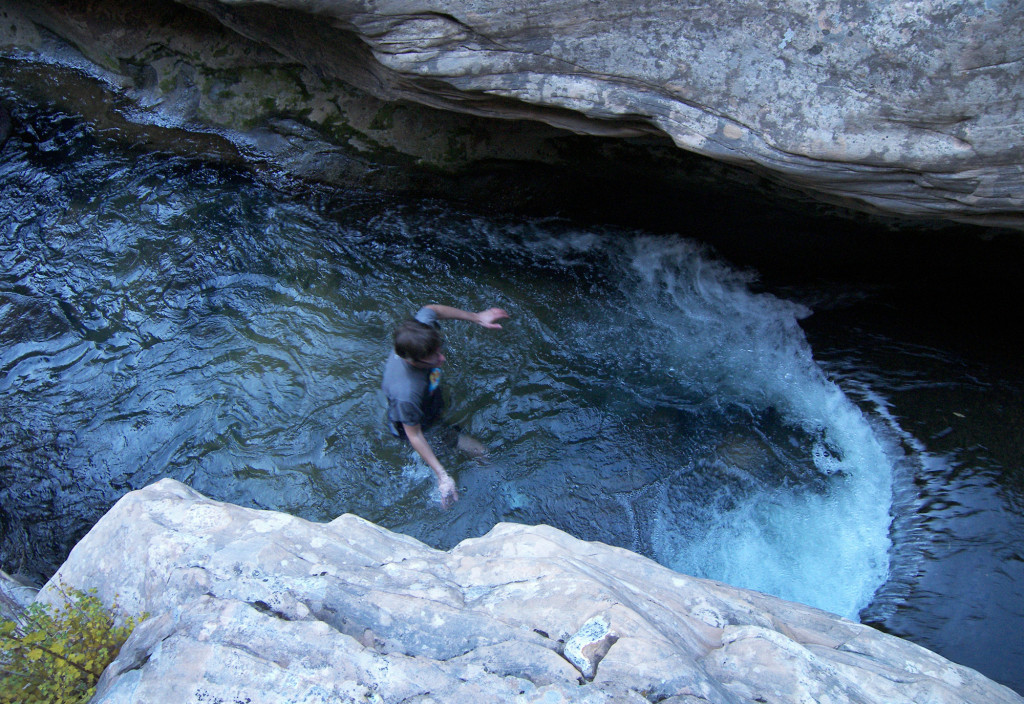
Continuing up canyon there were several more nice pools but no difficult navigation. We found a nice bend with a big open area to make an early camp where we could change into dry clothes and hang our wet gear to dry. The next morning we once again soaked up the sun:
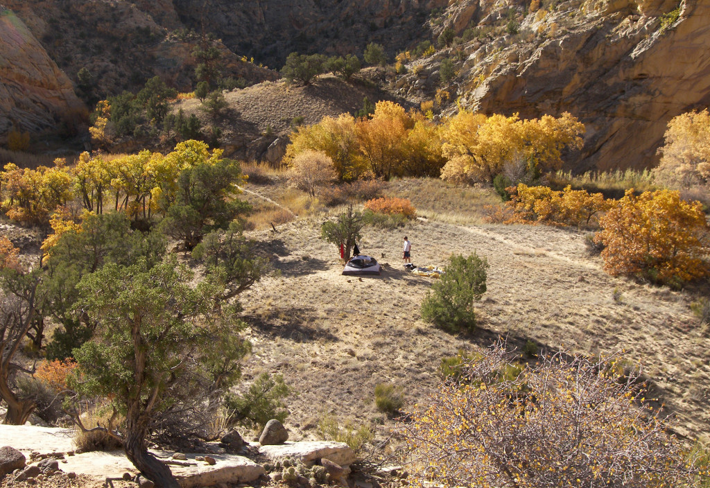
We continued up canyon and fairly soon came to the Mail Trail’s western exit from Death Hollow. The exit was marked with a cairn, but it would be very easy to miss so I recommend noting the exit carefully on a map and tracking your location as precisely as possible. There is a nice alcove on the eastern side just south the of the exit which can serve as a marker (and would also make a good camp if needed.)
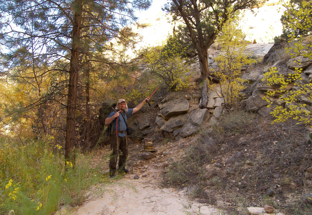
The climb up out of the canyon is steep, but doesn’t contain any real exposure — just great views:
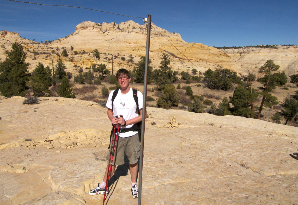
Much of the route to the top of the plateau follows the remnants of the old telegraph wire which connected the cities of Escalante and Boulder.
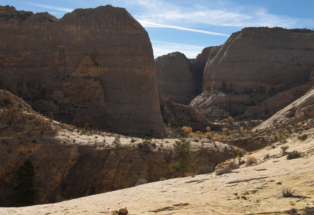
Once fully out of the canyon and atop the first ridge the views were awesome toward upper Death Hollow. One day I hope to explore these upper reaches.
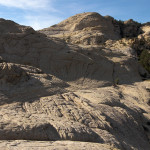
Headed west we soon came to the slickrock paradise of the Mamie Creek drainage. There are many interesting rock formations in this area including small arches, balanced rocks, cross bedding and pillowed sandstone. We didn’t make the extra walk down the drainage to see the natural bridge which share’s the creek’s name, but we were happy to find plenty of water at the crossing and filled up our containers.
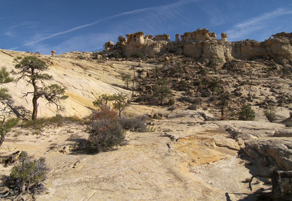
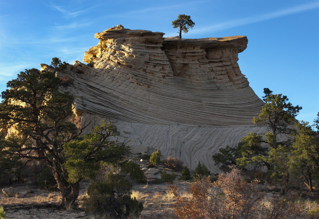
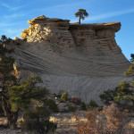
Once we climbed out of the drainage the trail crosses a large flat/sandy stretch which was definitely the least interesting portion of the hike. Soon however we were back onto slickrock climbing the final ridge which would connect us back to town. From here there were expansive views south toward the Straight Cliffs. This stretch is also home to one of my favorite trees around:
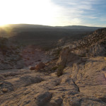
Once across the ridge we made our way down the moderately steep slickrock toward the town as we walked into the setting sun. There was even a few more potholes of water along this stretch, though we were fine with what we already had. As we made the final descent above the city’s “E” landmark, the sun’s final rays lit up the sandstone walls in glorious shares of purple and red.
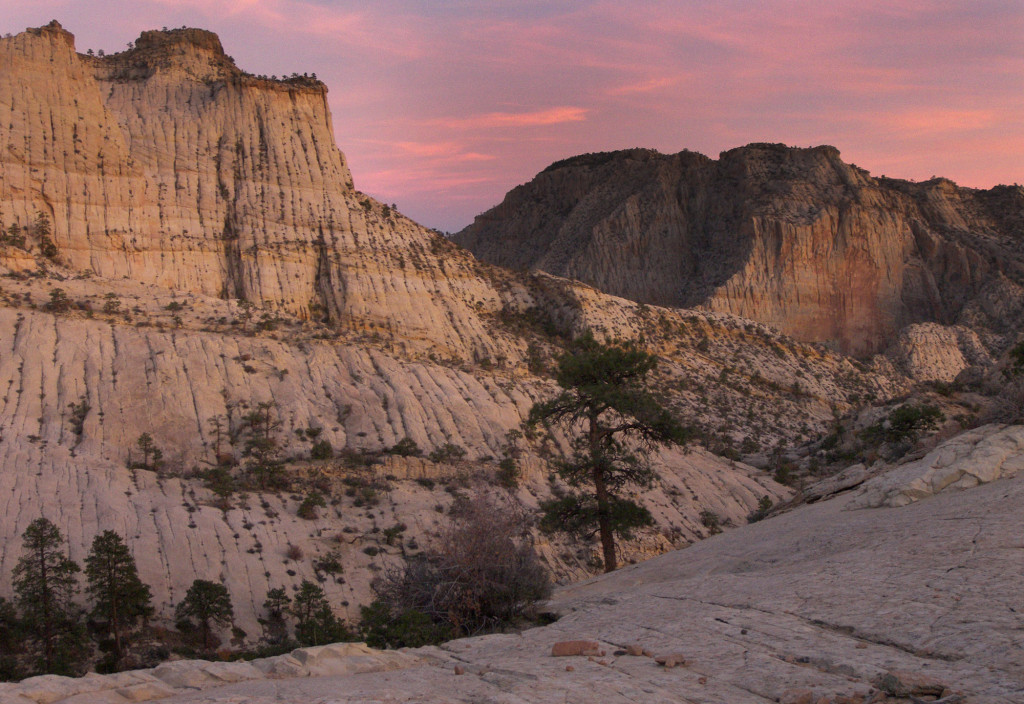
Within another half an hour we were back at the Jeep and headed out for a good hot meal back in town!
Death Hollow is definitely amazing and worth the trip. The loop that we hiked was approximately 20 miles long and with longer days it would even be possible as a strenuous day hike. But, I don’t recommend this as you’d likely be sorry you didn’t spend at least one night in the canyon. We didn’t see any other hikers on our trip, but this is not likely to be the case during the summer months when one can take full advantage of the glorious pools.
Open the Interactive Route Map or check out the full gallery below. Click any image to see it full-size and then use left/right arrow to navigate:
- Upper Esclante Canyon
- Petroglyphs
- Escalante Camp
- Confluence
- Death Hollow
- Death Hollow
- Death Hollow
- Death Hollow Giant Alcove
- Death Hollow
- Alcove View
- Alcove in Death Hollow
- Death Hollow | 2008 Trip ⮞⮞⮞
- Death Hollow
- Pools
- Scary Step Pool
- Death Hollow Narrows
- Death Hollow Narrows
- Death Hollow Narrows
- Death Hollow Narrows
- Above the Narrows
- Morning Light
- Death Hollow Camp
- Mid-Death Hollow
- Exit to Western Mail Trail
- Climbing out of Death Hollow
- Following the Telegraph Wire
- Views to Upper Death Hollow
- Views back to Lower Death Hollow
- Mamie Creek Drainage
- Mamie Creek Drainage
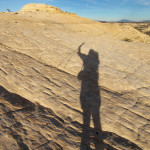
- Mr. Shadow
- Awesome Tree | Death Hollow ⮞⮞⮞
- Descending to Escalante
- Escalante View
- Escalante Sundown


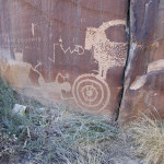

Hello thank you for sharing this ! this trip is in my bucket list ! cerry on the cake : I saw petroglyphes in your pics … are they easy to find ? located in the escalate canyon ?
There are several panels in the area. I don’t know/show precise locations, but most are fairly easy to find if looking for them. As a general rule they are found on walls which face south. Have fun!
Any thoughts on doing this loop in reverse (clockwise)? Or coming in from the east side on the Boulder Mail Trail? Have you done other exploring in this area?
Yep — reverse would work (though I enjoy walking UP Death Hollow more for some reason.) Coming from the east is also possible, but then one would need a shuttle along Hwy 12. I’ve heard that Sand Creek is too much of a bushwhack to be enjoyable.
Beautiful site! The Falcon Guide: Hiking GSE says reliable year-round water in Water Canyon in the upper Gulch. I am planning a hike there in early October. Can I count on this source?
Thanks, Denise. Yes — Water Canyon always reliable with good water. In fact, one will usually find water flowing in all of Upper Gulch itself. It’s not as clear as Water Canyon, but still fine after filtration. BTW — I have a short post on my hike in Upper Gulch here:
http://www.acrossutah.com/wordpress/?p=54
Hi Jamal,
What a great trip and beautiful pictures!
We did this trip in June 2014, clockwise and spent one of the nights near Mamie Bridge.
Thanks for sharing!
Greetings from Germany
Michael
Hi Jamal, I am pat Sutherland , a high school classmate of your mom. These are so enjoyable . Thanks for sharing , if only I could, so will live through your hikes
Thanks, Patty — glad to see you following along!
This is the hike that I hope to convince my friends to do with me some day – Thanks for posting this – great tips, great map, and awesome pics! (I love the one of the lonesome tree)
Holly
Thanks, Holly. When I took my friend on this hike he said “This makes up for all the long, sandy hikes you’ve taken me on!” 🙂
Great hike….beautiful pictures….give this old man with no knees much pleasure….keep on keep on and much luck…Allen Bealle
Thanks, Allen.