![]()
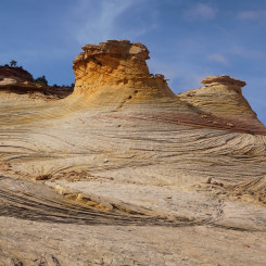
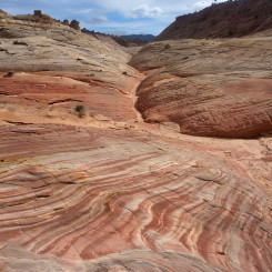
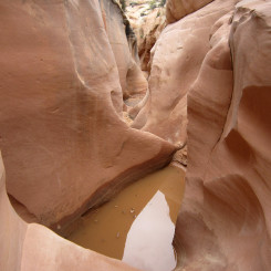
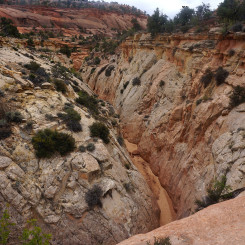
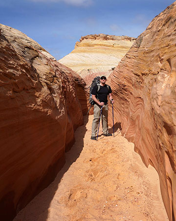
Big Horn Canyon is a scenic canyon which runs from the Spencer Flat Road (aka Old Sheffield Road) down to Upper Harris Wash. The canyon includes short slot sections as it cuts down through the colorful slickrock in the area. Though still great, it’s not as amazing as other canyons in GSENM and thus you’ll likely see few (if any) others while hiking it. It’s a dry canyon except for occasional potholes found after storms.
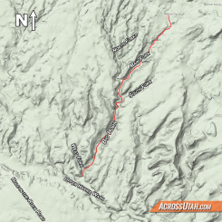
The Big Horn Canyon system can be somewhat confusing with its various forks. Just up from where the canyon meets Harris Wash it splits into the West Fork and the Main Fork (or East Fork). In the upper portion of Main Fork the canyon splits multiple times. For these branches I go by the names of South Fork, Main Fork, and North (or Northwest) Forks. Note that topo maps actually show the name “Big Horn” extending into what I call the North Fork, instead of my “Main” which is the larger of the tributaries. See MAP for reference.
Access the top of any of the forks along Spencer Flat Road. Access the bottom end by starting at where Hole-in-the-Rock Road intersects Harris Wash and then hike down the wash. Or, park a little farther down HITR Road and hike down Halfway Hollow (Zebra/Tunnel Slots area) and then hike up Harris Wash (this is longer.) Note that Harris Wash has a large cattle fence spanning the wash at the junction with Big Horn. This serves as a good landmark for those entering from the bottom. All of these trail-heads and routes are unmarked — so one must have a good map and a sense of adventure to explore the area.
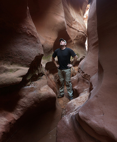
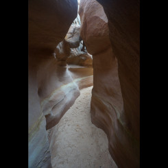
Big Horn West Fork Slot
West Fork
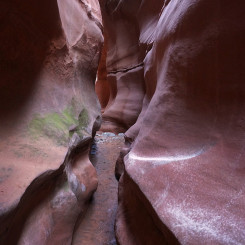
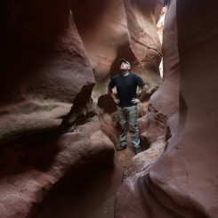
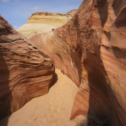
Again, the West Fork is the branch which meets Main Fork less than a quarter mile up from Harris Wash. Headed up this canyon one will pass some great striped rocks as the canyon’s walls slowly close in. In about a quarter mile the canyon constricts quickly forming a dark, tight slot. There might be some small pools in the canyon at this point. Then the canyon gets VERY narrow and it might be tough to get through with a big pack. In less than 100 meters the canyon opens back up and it ramps back upwards to the sunlight. I haven’t hiked above this portion, but I’ve heard that there are some additional interesting areas to explore farther up (though nothing as cool as the slot .)
Main Fork
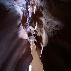
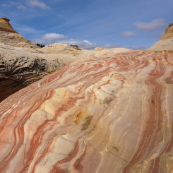
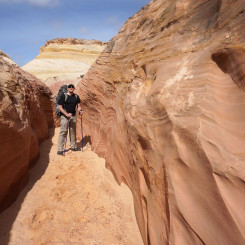
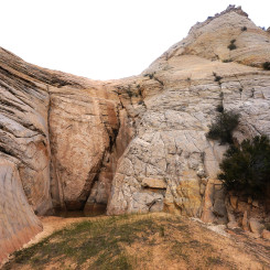
The section of canyon between the branch to the West Fork and the various upper forks is what I just call Main Fork as Main Main or Lower Main seems like overkill. This is the heart of the canyon and it includes several extended shallow slots which one can walk through and a few which need to be bypassed. This section also cuts through some incredibly colorful and scenic slickrock, so make sure to escape the slot for a while at any of the wider sections and explore the landscape a bit more.
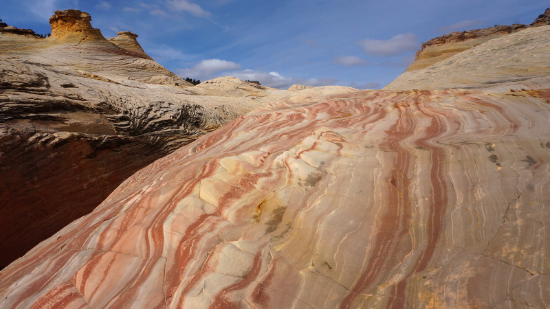
Main Fork Big Horn
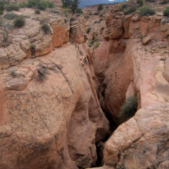
Less than an hour up from Harris Wash the canyon slots up and one will run into a large dryfall. Backtrack about 250 yards and find a way up and around on the west side. It’s possible that the east side would work as well and the farther you backtrack the easier it is to scramble out of the main channel.
About 15 minutes past this obstacle the canyon slots up again. It MAY be possible to go straight through this section, but it will likely require going through a few pools. To bypass this section backtrack about 400 yards and find an easy way up and around on the east side (west side is difficult/dangerous). Once past the slot via the rim, find a spot to drop back down into the main canyon.
Very soon the canyon will narrow again into a shallow slot near the junction of the South Fork. Climb out to bypass easily.
Upper Main Fork
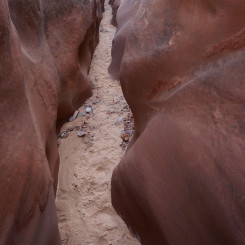
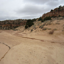
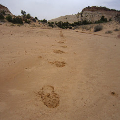
Once past the shallow slot at the junction of South Fork, traveling up canyon gets much easier. Sand fills much of the bottom of canyon which has sandstone sculpted walls.
Soon one will be at the junction with the North Forks. Going right and continuing up the Main Fork one soon comes to another minor obstacle. A dryfall at first appears to be a daunting challenge, but it’s possible to walk up the slickrock on the right side of the fall. A longer bypass is likely possible for anyone intimidated by the exposure, but it’s really not that bad.
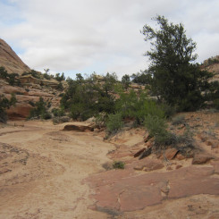
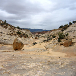
Above this hikers will find a sandstone bowl-shaped canyon. The Straight Cliffs are visible in the distance to the south.
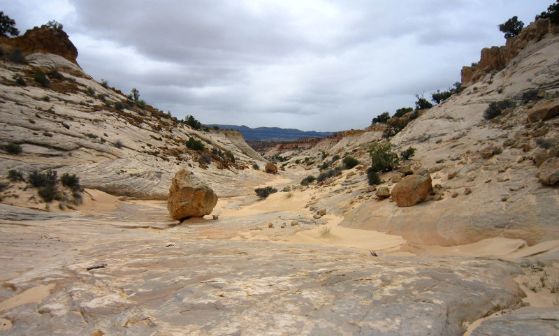
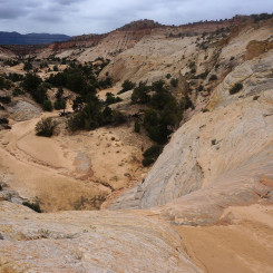
Looking down Upper Big Horn
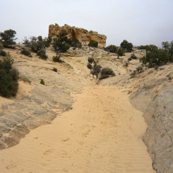
As you approach the upper reaches of the canyon note a square butte which sits out on its own. A trail exits the wash near this point and passes to the west of the butte and connects to the Spencer Flat Road.
South and North Forks
I have not hiked the South Fork or any of the North Forks. From what I’ve heard the North Forks are better. The South Fork might come in handy if one sets out to do a loop hike with Upper Zebra Canyon.
Video Reference:
Gallery:
- Big Horn Canyon Map
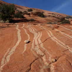
- striped slickrock in Upper Harris Wash | Trip Report ⮞⮞⮞
- Junction of West Fork (left)
- West Fork | Big Horn Canyon ⮞⮞⮞
- Getting tighter in West Fork
- West Fork Slot
- West Fork Big Horn
- West Fork Pools
- Shallow slot in Main Fork
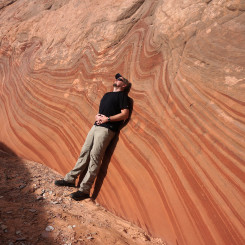
- Colorful Slickrock
- lower Main Fork | Big Horn Canyon ⮞⮞⮞
- Lower Big Horn Shallow Slot
- Bypassing obstacle in Main Fork
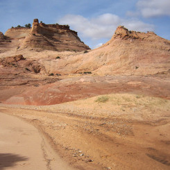
- Wash between Obstacles
- Pools in Slot
- Above pools in Middle Big Horn
- Mini slot near junction with South Fork
- Looking Up the North Fork (left)
- Sandy Upper Main Fork
- Minor Obstacle in Upper Big Horn
- Upper Big Horn
- Looking down Upper Big Horn
- Near exit of Upper Main Fork (go left of square butte)


