 For my next day of fun exploring southern Utah, I set out to find an alternate way into Upper Muley Twist. The goal was to find a way in from the west and connect to the top of the established trail in Upper Muley Twist Canyon. If this proved possible, I could connect a route coming from the Lampstand Road to the west and thus a more efficient route across Utah.
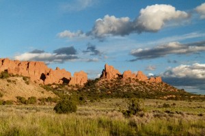
I had car camped the night before in the Onion Beds area just outside of Capitol Reef National Park. From here I set out on foot along the road as it entered the park and headed toward the Waterpocket Fold. I was excited to see two large ponds near the road. I realize that it has been a wet year, but the vegetation seemed to indicate that these water features MAY be permanent.
UPDATE: in 2013 this area was DRY, but it had water again 2016.

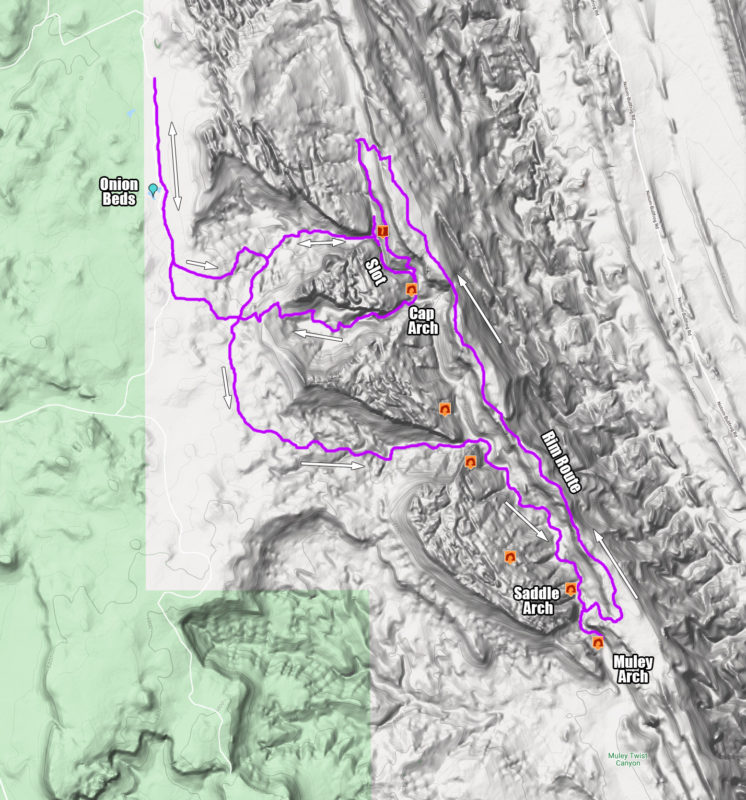
I found the first gully which led down into the fold (see map below.) This northern most gully wasn’t too steep and was littered with petrified wood as I descended. After making my way down to the bottom, I explored the slot. I soon realized that I was in the middle of the slot — the section of the trail which is bypassed by a route on the cliffs above. I explored the slot some more — checking out the spray paint on the wall marking the old mining claim and peering into the lower slot. Unfortunately there was no way to climb up to the bypass route and scaling down into the lower slot looked pretty sketchy w/o any ropes or a spotter. So… I had to go all the way back up and out and then to the gully farther south.
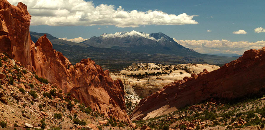
About an hour later I was down the next major gully to the south (after bypassing a minor one.) The descent here too wasn’t that bad and offered great views of the snow-covered Henry Mountains.
After one bypass near the bottom to get around a small dryfall, I was in Upper Muley Twist between the two high arches (High Arch and Shy Arch). From here I went down canyon which was a nice portion of the canyon with a lot of smooth sandstone and to my surprise several large pools of water (don’t expect this later in the year!).
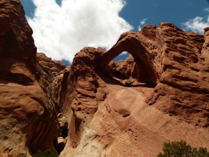
Saddle Arch near the junction with the rim route
After a short while I finally got to Saddle Arch — great arch. It looks like a popular area for people backpacking in the Upper Muley Twist as well.
From here I continued a little farther south to see Muley Arch — another nice arch. Then, I turned around and headed back up to Saddle Arch where I began to climb up to the east to access the Rim Route running to the north. The route up wasn’t too bad. It was steep, but well cairned and fairly easy to follow the whole way up.
Once up on top of the Rim Route the views were amazing. It really is an AWESOME trail following the very top of the Waterpocket Fold with views into Muley Twist as well across the Grand Gulch and to the Henry Mountains. I was surprised to find some pockets of water up here as well. I even spotted an unnamed arch high in the Wingate across the canyon.
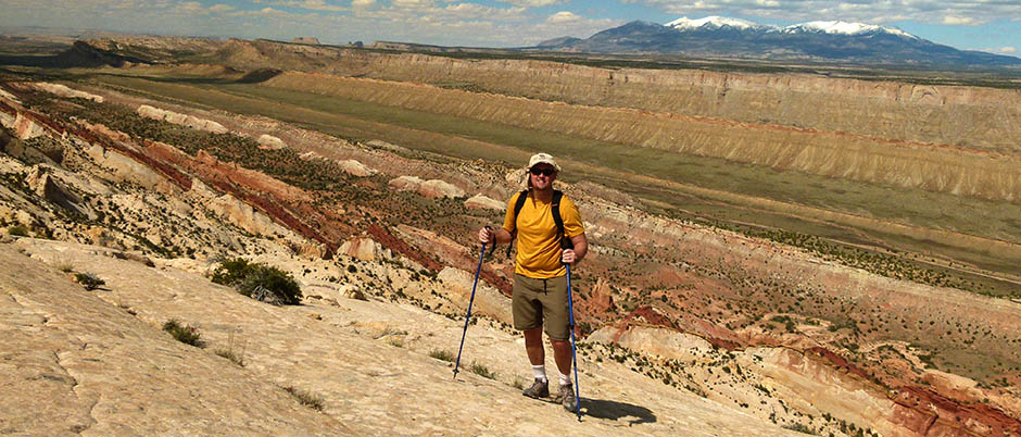
At the northern end of the Rim Route I descended back down into the canyon following the cairns. The descent route here is more rugged than the southern end and requires a few precarious steps — but overall not that bad.
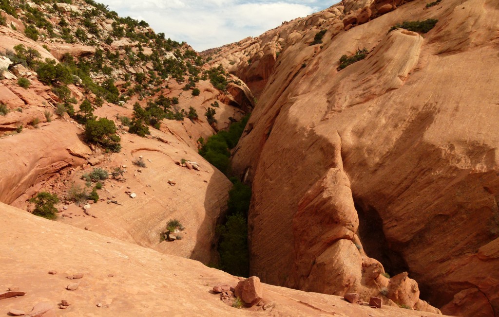
Back down in the bottom and headed south again, the canyon almost immediately slots up and one has to get up on the bypass route. From here I could easily see down into the portion of the canyon I was in earlier in the day.
The bypass route drops down into the canyon not too far from another big arch (Cap Arch). This is the minor drainage in between the two major western drainages I descended earlier in the morning. I thought I would give this one a go so see if I could escape back to the west. After only one little climb of less than five feet, it was easy all the way up. Once on top I was able to connect my route from earlier in the day thus successfully completed the loop.
Here’s the map of my approximate route:


