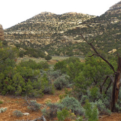
![]() Monday Canyon is a remote canyon on the Kaiparowits Plateau. The canyon cuts down the western side of Fiftymile Mountain towards Rogers Canyon which soon turns into Croton Canyon which leads to Lake Powell. The canyon has seen increased usage since becoming a part of the Hayduke Trail (Section 7). It’s brushy at the top and rocky at the bottom and frequently dry throughout the length of the canyon. For these reasons, I’m not a big fan of this segment of the HT route. I wonder if Mudholes Canyon, Sunday Canyon or the dividing ridge between them might be better alternatives, but until I personally hike them I’ll stop short of any recommendations.
Monday Canyon is a remote canyon on the Kaiparowits Plateau. The canyon cuts down the western side of Fiftymile Mountain towards Rogers Canyon which soon turns into Croton Canyon which leads to Lake Powell. The canyon has seen increased usage since becoming a part of the Hayduke Trail (Section 7). It’s brushy at the top and rocky at the bottom and frequently dry throughout the length of the canyon. For these reasons, I’m not a big fan of this segment of the HT route. I wonder if Mudholes Canyon, Sunday Canyon or the dividing ridge between them might be better alternatives, but until I personally hike them I’ll stop short of any recommendations.
Here are the main things to know about Monday Canyon as described from Top to Bottom:
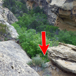
Finding the correct branch of the canyon at the top can be tricky. The same is somewhat true if headed UP canyon. Make sure you know exactly were you are if possible. Other branches may connect as well, but there are a few cliff bands in the area which might stop progress. The initial side drainages are extremely brushy. I found it easiest to walk along the steep sides of the canyon/ridge until I was down into the main canyon.
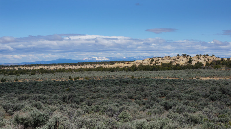
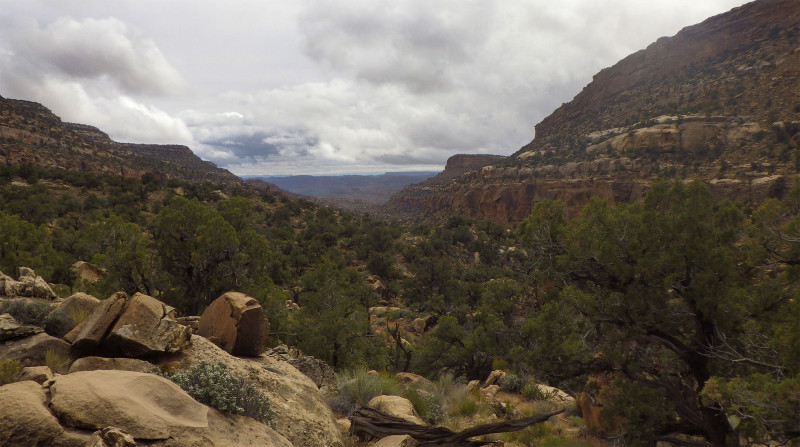
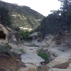
Headed toward top of Monday Canyon
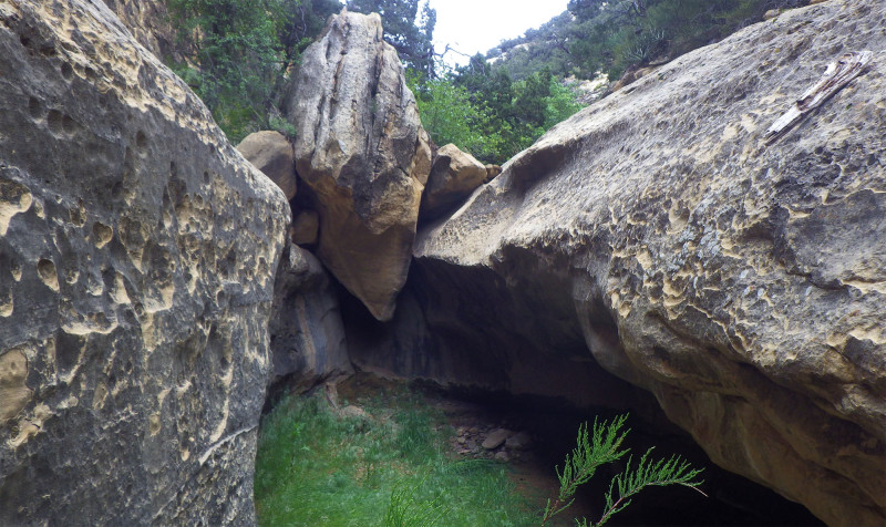
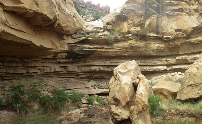
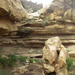
Once down into the main canyon you might find some water if it has recently rained or it’s early in the season. Since you can’t count on this, chances are you’ll still have plenty of water after filling up at the springs on top of Fiftymile Mountain. Upper Monday cuts through a hard-rock layer and there is at least one nice overhang camp.
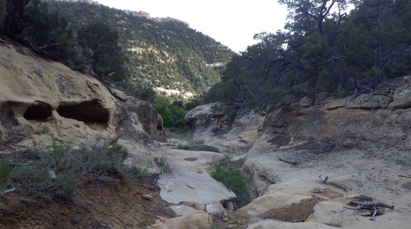
Upper Canyon
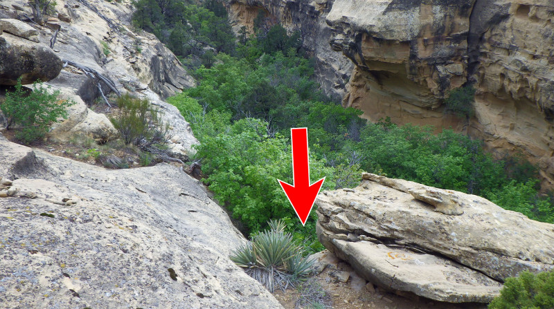
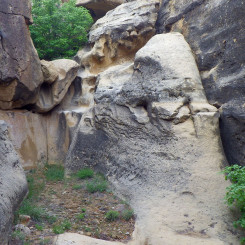
About a mile or so down the canyon you will come to a 15′ dryfall.
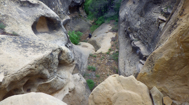
Dryfall Obstacle
This obstacle can be downclimbed on the left, but it’s pretty sketchy. The rock is slick and a fall here would be a bad thing. If traveling up the canyon, this obstacle presents a formidable challenge for a solo backpacker.
Below Dryfall Obstacle
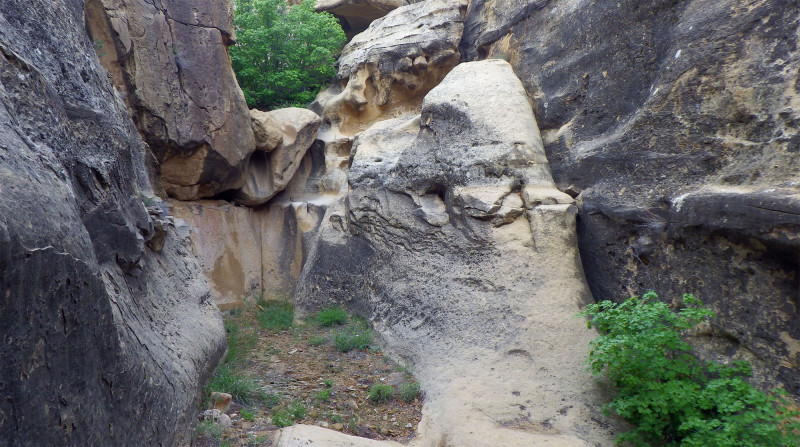
Luckily there is a bypass route on the south side of the canyon. Just retreat 3-5 minutes up the canyon until it’s possible to get out on the southern side. Climb up and rimwalk down past the obstacle. Continue for about another 5 minutes until you see a spot where the tree-tops nearly reach the rim of the canyon. Here it is possible to get down a crack and descend via a brushy hillside back to the canyon’s bottom.
Dryfall Obstacle Bypass
Immediately downcanyon is another, shorter dryfall. This one has an easy bypass along the southern shoulder.
Below Second (Easy) Obstacle
That’s all for the obstacles in the upper canyon.
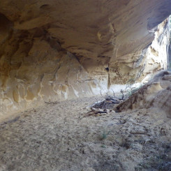
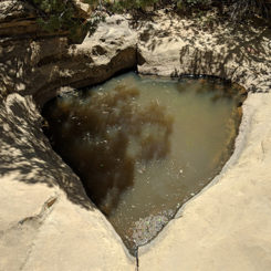
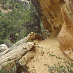
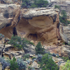
There are some nice overhanging alcoves in the upper canyon if looking for a place to camp. There’s even a semi-reliable “heart” pothole in this portion of the upper canyon if you want to fill up. Other hikers have reported observing evidence of the ancestral sites in this area of Monday Canyon, but I wasn’t so fortunate.
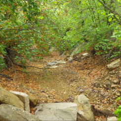
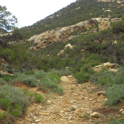
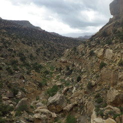
Monday Canyon opens up in the middle section and walking is much easier. The junction of West End Fork looks inviting to explore. If headed UP canyon it even looks like it’s the correct way to go — but it’s not. Again, follow your map closely.
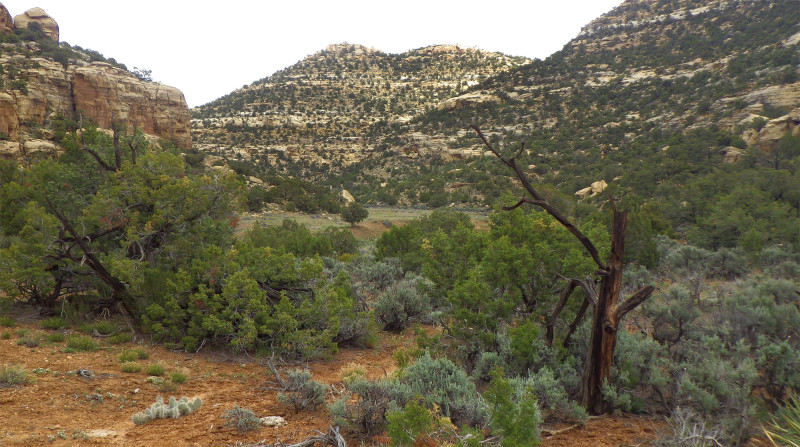
Middle Canyon
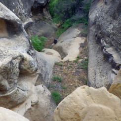
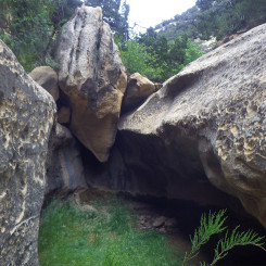
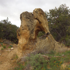
After a little more cruising down the middle section, one might notice an interesting boulder on the right of the wash with a huge hole in it. This “hole-in-the-rock boulder” marks the beginning of the tedious boulder-strewn lower canyon. At this point it’s easier to leave the wash and find one’s way down the slopes on the southern side of the canyon than fight the course down the main drainage.
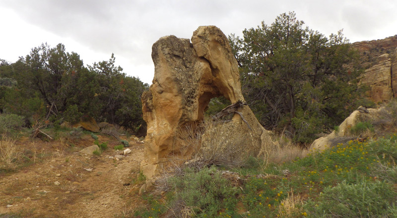
Hole-in-the-rock Boulder (leave wash here)
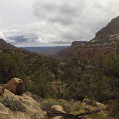
View from southern ridge route
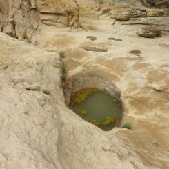
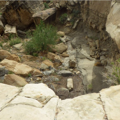
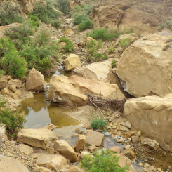
As you head down the southern ridge you should still be able to see the main drainage. You will notice a series of dryfalls. If still in the main drainage these can be a nuisance to bypass, but it’s possible. There will likely be water in the potholes atop the second dryfall — but it can be seasonal.
Below dryfall in Lower Monday Canyon
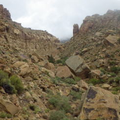
Once down to the very lower end of Monday Canyon you are likely to find yourself back in the main drainage as the southern slopes will eventually lead you there. It’s a tedious route making your way through the rocks, but before too long it opens up and just a bit farther you will be at Rogers Canyon.
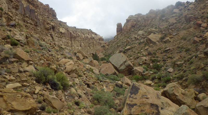
Looking Up Monday Canyon from near bottom
You will likely find water in Rogers Canyon. However, the water here is BAD. Though it appears extremely polluted by the cows, it’s actually an algae which grows here. But, even if you find a clear source, the water also contains magnesium sulfate — therefore it tastes terrible and acts as a laxative. Grab some for emergency back-up if necessary — but really try to not drink it. Even a small amount will likely play havoc on your digestive system.
Gallery:
-
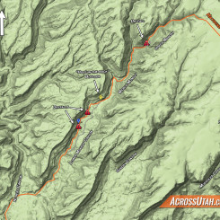
- Monday Canyon Map
-
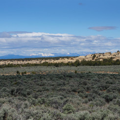
- Headed toward top of Monday Canyon
-
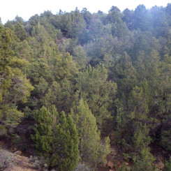
- Forested area descending top branch
-
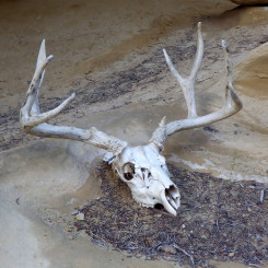
- Deer Skull
-
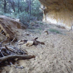
- Upper Overhang Camp
-
- Upper Overhang Camp
-
- Upper Canyon
-
- Dryfall Obstacle
-
- Below Dryfall Obstacle
-
- Dryfall Obstacle Bypass
-
- Trees in Upper Canyon
-
- Below Second (Easy) Obstacle
-
- “Heart Tank” seasonal pothole just above junction with West End Canyon
-
- Another Possible Camp
-
- Middle Canyon
-
- Possible Ruin Site?
-
- Middle Canyon
-
- Hole-in-the-rock Boulder (leave wash here)
-
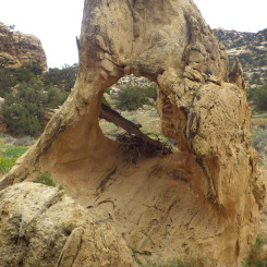
- Reverse Angle of Hole-in-the-rock Boulder
-
- View from southern ridge route
-
- Water tank near Lower Dryfalls
-
- Above Lower Dryfall
-
- Looking down Lower Canyon
-
- Below dryfall in Lower Monday Canyon
-
- Looking Up Monday Canyon from near bottom
-
- Rogers Canyon after big rain