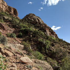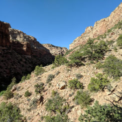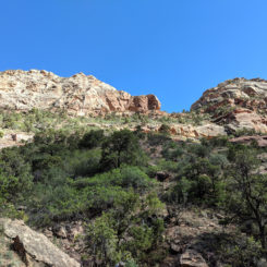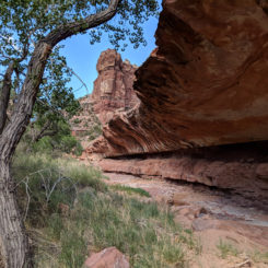
Lower Youngs Canyon
Youngs Canyon is a major tributary of Dark Canyon. It’s a great side-adventure if exploring from the bottom, or it can be part of a big loop via Dark and Lean-To Canyon as described by guidebook author Steve Allen. There are two major dryfalls in the canyon and both require semi-lengthy bypass routes. The remote canyon is gaining in popularity as it is now a part of the Hayduke Trail. To assist those hikers, I will describe the canyon as most Haydukers hike it: from top down (ie north to south).
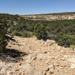
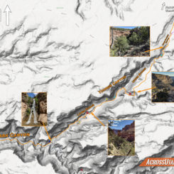
Haydukers and other hikers descending Youngs Canyon will likely begin on the Alice Springs Road near the top of Horse Pasture Canyon. There’s a stockpond right near the road, but I’ve heard it’s frequently dry. Instead of heading down the drainage, look for an old Jeep road on the east side — this will make walking much faster and is definitely the easiest way to get past the initial drop. Soon Horse Pasture Canyon opens up wide and the road fades when it turns east (and a spur goes west). Just continue down the sandy wash where you will soon come to another big drop (shown below). Find a short bypass trail along the eastern rim to get down in the canyon. Next up is a series of small drops which are fairly easy to get around and then you will find yourself at the junction of Youngs Canyon.
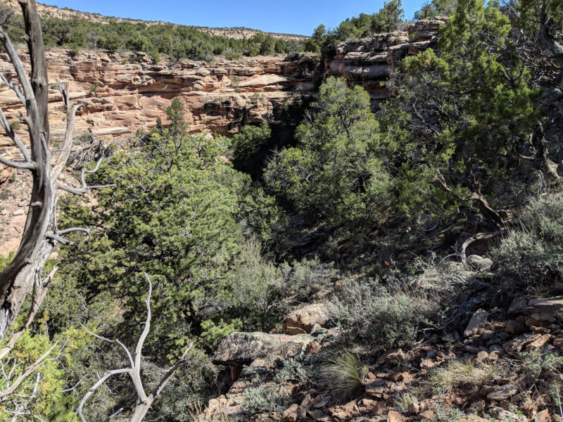
Horse Pasture Canyon Dryfall
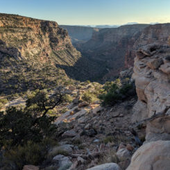
Once in Youngs you will soon come to another small drop. There’s a medium-sized pothole just above the drop if in need of water. After the drop there’s a series of additional small drops — nothing too hard, just tedious. Eventually you will get a bigger drop and it’s time for the “Upper Bypass”. Once again follow the rim on the east side and contour around a side canyon. Once on the south side of the side canyon, climb several hundred feet up the steep slope to get to the top of the plateau. Several routes go to the top, but… several don’t, so have patience while finding a good route and enjoy the view back down to where the canyon quickly drops via a series of bigger dryfalls.
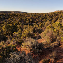
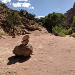
Once on top head south across the flat juniper and cactus-covered plateau. Once at the southern edge you will drop back down into a major side canyon at approximately 37°51’49″N, 110° 2’47″W. Once you start down you will likely see some cairns marking the route which zigzags down the upper cliffs.
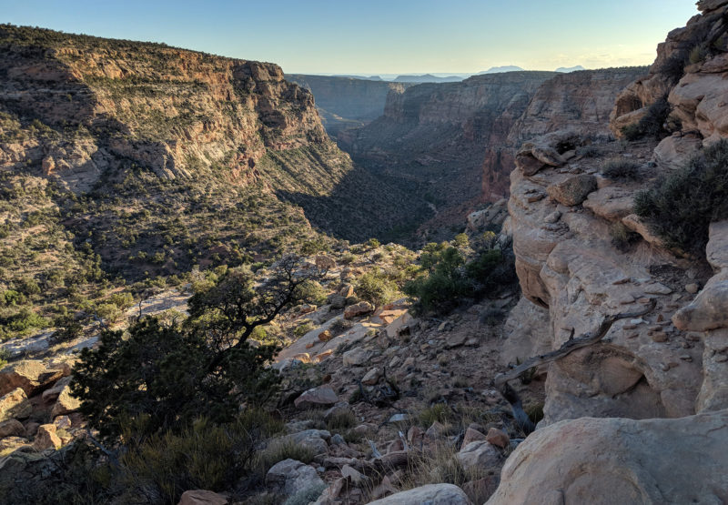
dropping back down into the canyon on the Upper Bypass
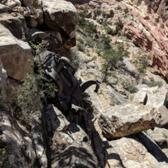
Down on the first flat area, contour west up and through a “notch” which separates the side canyon you are in from Youngs Canyon proper. Once in the notch you will drop down a bit and then contour some to the north before rapidly dropping down into the canyon via a very steep talus slope. A trail has developed in some sections, but it’s easy to loose as it’s so faint and easily covered by rolling debris.
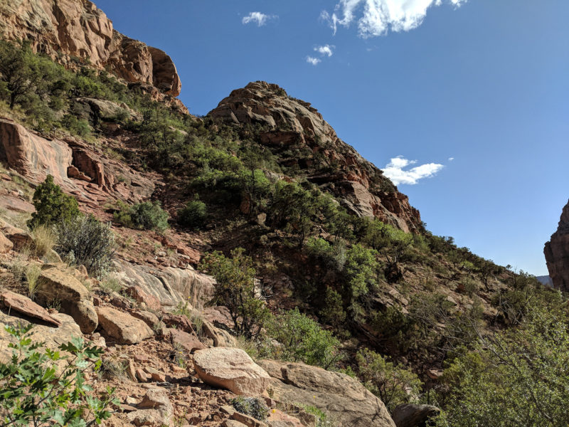
looking back up at the notch
Finally down to the canyon floor the walls really tower above you now. Headed down canyon you will likely find water soon and definitely a brushy route which can be tedious in spots.
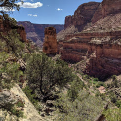
Soon the canyon dries up and one is walking on bedrock again and then quickly arrives at another major drop. This is the Lower Bypass. Head up and follow the eastern rim again. A good trail has developed along this stretch. Ahead in the distance you will spot a unique pinnacle formation that I refer to as the “Thumb”. The route described will descend back into the canyon via passing beside this feature before dropping all the way down via a side drainage.
Keep following the rim until you spot a weakness in the cliffband (likely marked) which makes for fairly easy access to the lower level. If it looks like it involves dangerous climbing — you are not in the right spot! If still in doubt… 37°51’18″N, 110° 04’09″W.
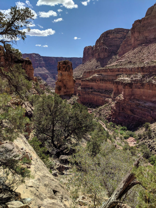
looking down canyon at the “Thumb” along Lower Bypass
Once down through the cliffband, contour south and to the “Thumb”. Go left of this formation where it’s possible to descend the steep talus into a side canyon. From here follow the side canyon back to its nearby junction with the main fork.
NOTE: I’ve been told by another hiker that there is another descent route about 1/4 mile farther south of the “Thumb” route”. It is supposedly easier and is marked on my reference map.
.
Back in Youngs one may opt for a possible diversion UP canyon to see a unique part of the canyon not many see. After getting past a series of dryfalls and the “Pothole Plunge”, the canyon walls close in and eventually one comes to the big dryfall. Turn around and head back down canyon.
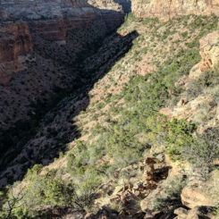
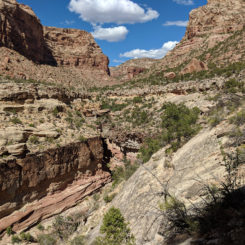
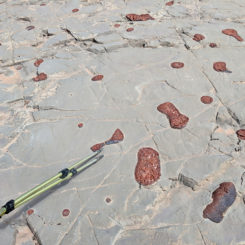
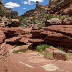
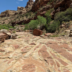
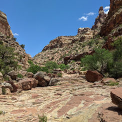
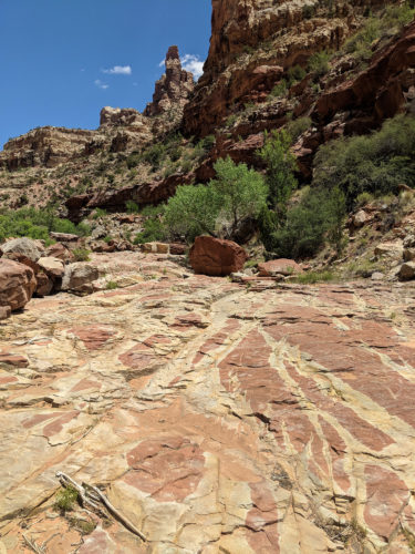
Continuing down canyon below the Lower Bypass there is some interesting geology and a series of small dryfalls to get past.
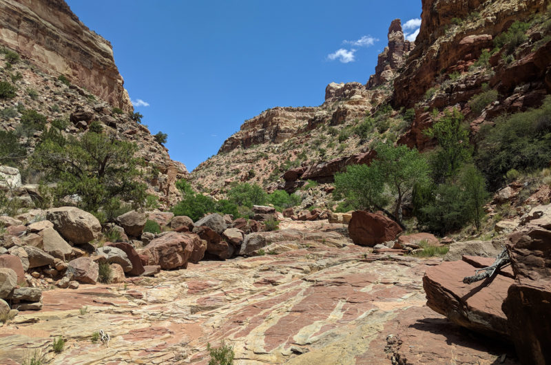
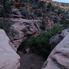
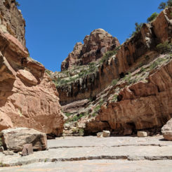
Lower Youngs Canyon
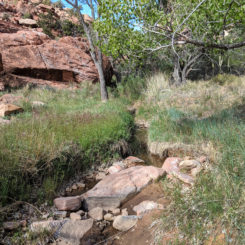
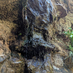
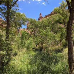
At the last such dryfall, the canyon floor abruptly changes character from dry bedrock to a brushy/damp environment. That’s because just around the corner is a spring where water drips from a wall. Water flows from here to the bottom of the canyon and sections may be difficult to traverse due to thick brush.
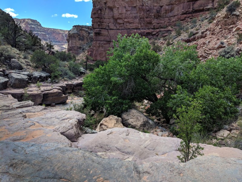
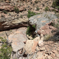
final (minor) dryfall in Lower Youngs Canyon
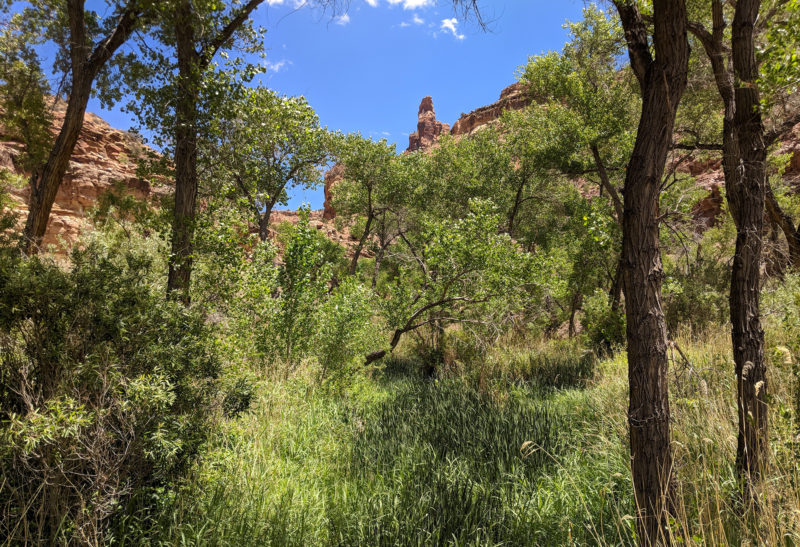
brushy Lower Youngs Canyon
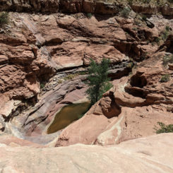
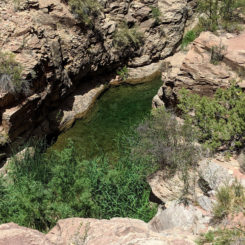
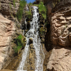
Just before coming to the junction with Dark Canyon, the trail climbs up the east bank of the creek and passes an emerald green pool. Guidebook author Steve Allen says that this might be the most beautiful pool he has seen. Just south of this point the trail juts east to climb down a cliff to bypass a waterfall and then quickly intersects Dark Canyon. Back at the junction of the two canyons one can see (and walk up to) the waterfall at the bottom of Youngs.
From here thru-hikers will continue into Dark Canyon.
Gallery:
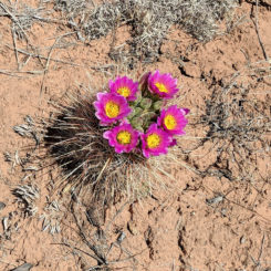
- Cactus in bloom
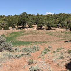
- Dry Stockpond Alice Springs Road
- old road down into Horse Pasture Canyon
- Horse Pasture Canyon Dryfall
- Top of Upper Bypass
- going across mesa for Top Bypass
- dropping back down into the Youngs Canyon
- dropping back down into the Youngs Canyon
- looking back up at the notch
- dropping back down into Youngs Canyon
- looking up to the Notch
- middle section of Youngs Canyon
- water in middle section of Youngs
- cairn might mark the top of the Lower Bypass
- dropping down into the canyon at the Lower Bypass
- looking up canyon along Lower Bypass
- looking down canyon at the “Thumb” along Lower Bypass
- interesting Geology in lower Youngs Canyon
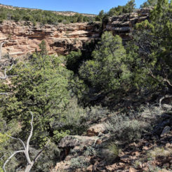
- Lower Youngs Canyon
- “Pothole Plunge” in Lower Youngs Canyon
- minor dryfall in Lower Youngs Canyon. Note “Thumb” up canyon
- final (minor) dryfall in Lower Youngs Canyon
- another dryfall in lower Youngs
- Lower Youngs Canyon
- Lower Youngs Canyon
- dripping spring in Lower Youngs Canyon
- brushy Lower Youngs Canyon
- the green pool which author Allen calls “one of the most beautiful around”
- the waterfall at the very bottom of Youngs Canyon
- Youngs Canyon Overview Map


