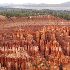
Section 9 of the official Hayduke Trail can be summarized by a relatively short climb to the top of Rainbow Point in Bryce Canyon National Park and then a slow descent down the geological formation known as the Grand Staircase and to the Arizona border en route to the Grand Canyon. This page will describe the portion to and through Bryce.
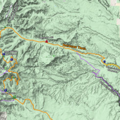
After finishing Section 8 with the Willis Creek Narrows, Haydukers head toward Bryce Canyon via some road walking. The official route jogs north of Willis Creek on the Skutumpah Road before turning west on Willis Creek Road (BLM #530).
NOTE: many Haydukers do a re-supply in Tropic or nearby. See the Tropic Re-Supply page for details about the various options.
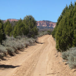
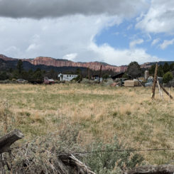
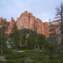
The first 1.5 miles of the Willis Creek Road follows a ridge with several popular car-camping spots before dropping back into the drainage for Willis Creek where it runs alongside private property for a ways. One can see the orange spires of Bryce ahead in the distance as they continue up the dirt road. Just past the private parcel is where the rugged Bull Valley Gorge Alternate Route (see map) re-connects with the official route.
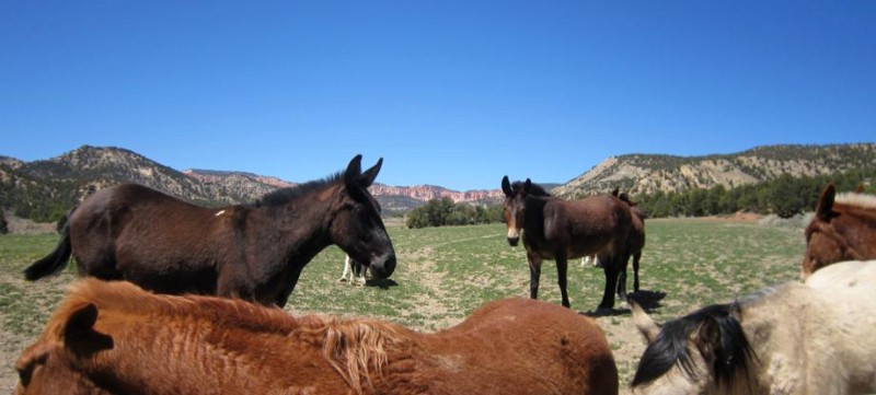
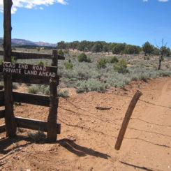
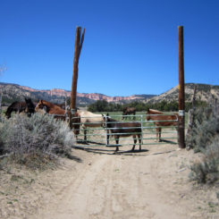
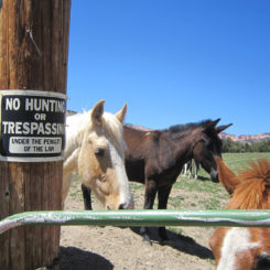
About 3 miles farther up one might encounter a locked gate where the road actually cuts through private property. Evidently the road acts an en easement here, so you are free to continue on, but stay on the road and do not linger in the area. You might encounter some horses looking for a hand-out as well.
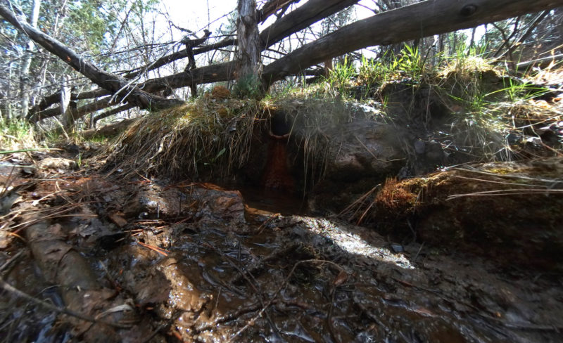
Once across the private property the road crosses the wash. In this area one might find running water. It’s likely to be dry farther ahead, so grab some water if you need it (though the springs in Bryce are pretty reliable.)
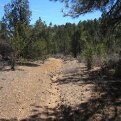
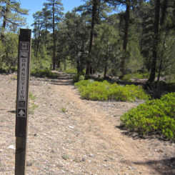
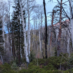
Soon the route enters the Dixie National Forest and not coincidentally it becomes more forested. The Grand View Trail runs through this area and one might see signs indicating such. The road begins to fade at this point though one will see remnants of old routes on occasion.
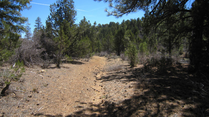
typical scene inside Dixie National Forest
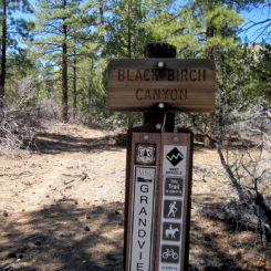
Traveling up canyon there will be several canyons entering on the left. First up is Black Birch Canyon, second is Ponderosa Canyon, and third is Bridge/Agua Canyon — this last junction is where the Hayduke leaves Willis Creek and enters Bryce Canyon NP. If desired, either Black Birch Canyon or Ponderosa Canyon can be uses as a shortcut as they re-connect with the Hayduke closer to Rainbow Point. They are all good options — it just depends on how much of Bryce you want to see. Black Birch is the quickest route, but Ponderosa offers better camping just outside the park boundary.
Staying on the official route, one should keep going up Willis Creek until the third canyon. Here head west toward Bryce and in about 1/2 mile you will at the park boundary. Just beyond you will intersect the Under-the-Rim Trail near the “Natural Bridge” designated campsite. The camp is named after the iconic arch along the rim of the canyon.
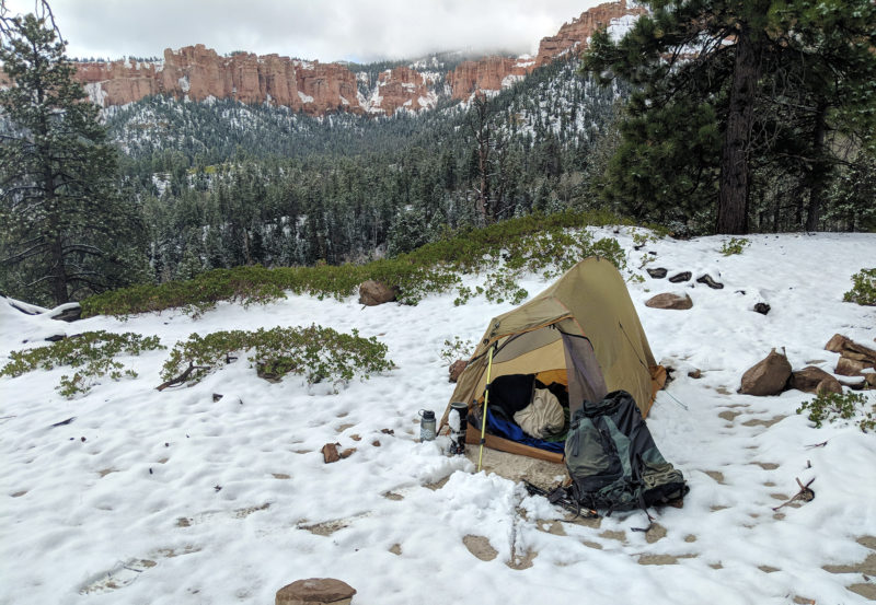
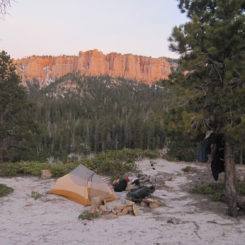
NOTE: all camping in Bryce is by permit only and for specific sites. A bear canister is also required. Luckily it’s easy to camp just outside the boundary in the National Forest where there is no such requirements. Be mindful though that black bears are common here, so be careful with your food.
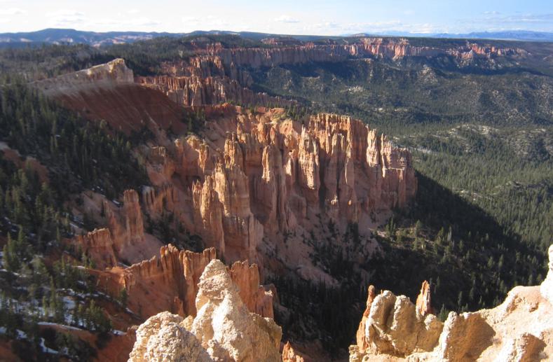
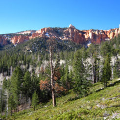
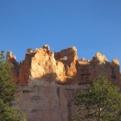
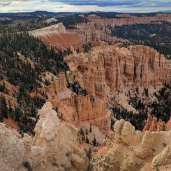
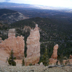
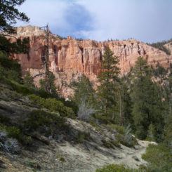
Haydukers head south on the Under-the-Rim trail from here. The route is a series of ups-and-downs climbing and descending over numerous ridges dividing up the side canyons radiating out from the Pink Cliffs. It’s somewhat tedious, but the views from under the big orange pinnacles are pretty great.
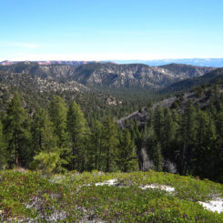
Once one climbs up the first ridge, there is a junction where the Agua Canyon Connector Trail (* this route was closed due to rockslide — check for updated status) leads up to the rim and the park road/shuttle if needed (* the Rainbow Shuttle is no longer offered, see NOTE below) . Most will stay on the main route and drop down into Ponderosa Canyon and then go up and over to another fork of the same canyon. Some decent camping can be found on the ridges just east beyond the park boundary.
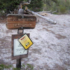
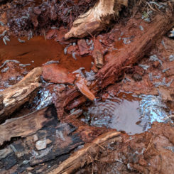
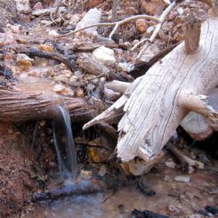
A little farther south on the Under-the-Rim Trail one comes to Iron Spring and the nearby official campsite of the same name. Look for a short spur route east of the trail to get to the water source. It might look bad, but it tastes fine after filtration.
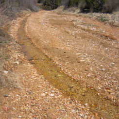
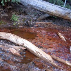
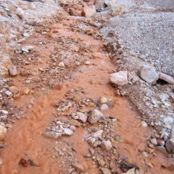
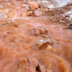
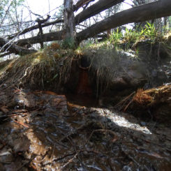
South of here one makes their way around the upper reaches of Birch Canyon. The route crosses at least one major wash which frequently flows with orange water in the spring.
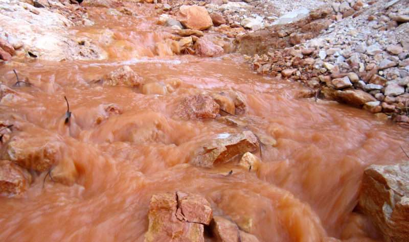
Farther south Birch Spring is usually fairly reliable with its clear water (but was dry in Spring 2018.)
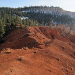
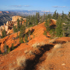
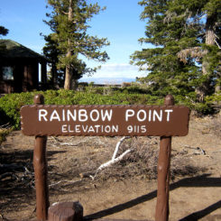
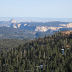
From this point the route heads east as it climbs up the southern ridge of Black Birch Canyon in a circuitous route toward Ponderosa Ridge before turning back and following the ridgeline above the orange pinnacles. The route continues to climb up toward Rainbow Point where it tops out at 9115′ elevation. This is an awesome section of trail with great views to the north.
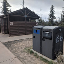
Officially the Hayduke diverts to the south about 1/4 mile before reaching Rainbow Point. I suggest, as most hikers naturally do, continue up to the official point to take in the view and make use of the facilities. One will find toilets and trash cans, but no water. There will likely be a plethora of tourists at this popular spot though, so somebody is likely to be generous with extra water if needed. There is also a cell tower here, so Verizon users will be able to make calls and have LTE data connection if desired.
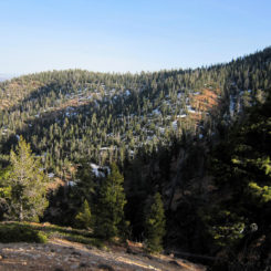
Another reason to go up to Rainbow Point is to take the quicker Yavimpa Saddle Alternate — my preferred route for getting to the Riggs Springs area (see map). But, if not tempted by this, the official Hayduke continues on the Riggs Spring Loop Trail at that junction just east of Rainbow Point. Continue on this route as it makes a wide/wandering path around what is called the Promontory. Snow is fairly common late into the spring along this north-facing section of the trail.
Eventually the trail will round the bend to the south and then turn the corner to head west again and toward more orange spires. Maps show a spring named Bullberry in this area — but I’ve never seen it.
Continuing winding your way around the spires. Hikers will pass the Corral Hollow designated campsite along the way and then drop into Mutton Hollow where the trail turns south and runs down through the forested area to the Riggs Spring area. Once there one will find a fenced off spring with an OK flow along with two more designated camping sites nearby.
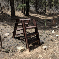
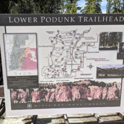
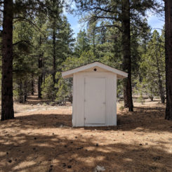
From here Haydukers want to head down a less-traveled route to the SE toward the park boundary. A ladder is installed to help one climb the fence at the boundary. Once past this spot, one soon comes to a turnabout for a road and a popular car-camping spot with an old outhouse. This is the Lower Podunk Traihead.
If doing a Grand Canyon Bypass, hikers might want to head up Horse Hollow to the west for a good route toward Zion. Otherwise, official Haydukers should continue along the true route to the south and down Podunk toward Bullrush Hollow.
Gallery:
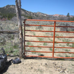
- initial gate along road
- Willis Creek Road headed toward Pink Cliffs
- main gate at private property
- gate with “guards” | upper Willis Creek
- second gate on private property
- crossing private land
- Willis Creek flow in spring
- typical scene inside Dixie National Forest
- overlapping with Grand View Trail
- marker at bottom of Black Birch Canyon
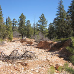
- the wash leading up Black Birch Canyon
- Aspen grove near Iron Spring
- overlooking Ponderosa Canyon
- ridge camp outside boundary
- along Under-the-Rim Trail
- Iron Spring Camp
- Iron Spring
- Iron Spring
- orange creek
- orange creek | Bryce Canyon
- flow near Birch Spring
- small arch
- ridge route near Rainbow Point
- ridge route near Rainbow Point
- snow on north-facing hills
- the “Poodle” and view at Rainbow Point | Bryce Canyon 2018 ⮞⮞⮞
- Rainbow Point facilites
- view of Mollies Nipple and No Mans Mesa
- snow along the trail on the Promontory
- above pinnacles on the Promontory
- cliffs near Corral Canyon
- cliffs near Mutton Hollow
- Riggs Spring
- step ladder at boundary
- Lower Podunk TH
- outhouse at Lower Podunk
- area map
- view from Bryce Point


