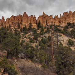
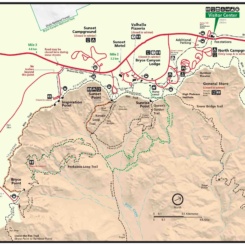
After finishing Section 8 of the official Hayduke Trail at the top of the Willis Creek Narrows, Haydukers continue toward Bryce Canyon before making a big turn southward toward the Grand Canyon. But before doing that, many thru hikers first head north to do a re-supply in Tropic. This small town has a post-office, a market, several places to eat, and many relatively affordable options for lodging if interested in a Zero Day (or two). Another benefit is that the town is also “underneath” arguably the best part of Bryce Canyon which gets skirted by the official Hayduke route. A re-supply in Tropic (or in Bryce Village) gives one the opportunity to see this awesome part of the park and maybe enjoy some of the classic trails in the area.

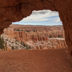
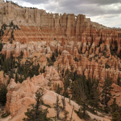
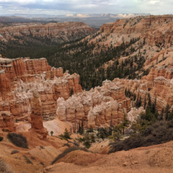
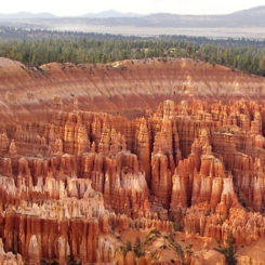
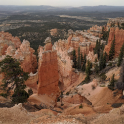
view from Bryce Point
Making a diversion to Tropic can be done several different ways. Some just hitch via the fairly popular Willis Creek Trailhead or along Skutumpah Road. But, if walking to Tropic, here are several options:
Sheep Creek (not recommended)
before the end of Section 8, some hikers opt to continue up Sheep Creek to the road and then road-walk to Tropic. I personally don’t recommend this as I wouldn’t enjoy that much road-walking and think it would be a shame to miss the Willis Creek Narrows when one is that close.
Averett Canyon
a similar but slightly-longer option is to continue up to Averett Canyon. This way one could easily see the bottom of the narrows as a diversion, then go up Averett Canyon and to Skutumpah Road. There is a dryfall near the junction with Willis, but is can be bypassed on the left side (looking up canyon.) Then when close to the road be sure to see the gravesite of the fallen cavalry solider “killed by Indians in 1866” as stated on the plaque at the memorial. The route to Tropic is about 13 miles this way (still a considerable amount of road walking IMHO.)
Backroad Route
a third option is to continue up through Willis Creek Narrows and continue on the official route toward Bryce Canyon for just over two miles. There along the ridge one can leave the Hayduke and follow a route to head north crossing several drainages via a series of mostly old roads/ATV paths skirting the numerous parcels of private property in the area. This route is a few miles longer than just following the main road, but avoids walking on pavement (until town) and provides more opportunity for camping along the way.
Main Park Road (no longer recommended)
another option option is to continue on the official Hayduke to the park. Then one can divert to the rim and use the main park road to get to Bryce Village. HOWEVER — as of 2020 the park’s free Rainbow Shuttle is no longer offered and hitchhiking is NOT allowed in Bryce Canyon (though the park does list commercial transportation options on their site.) After getting to the Bryce Village area one could do a re-supply there with its many amenities OR hike down one of the many amazing trails and connect to the city of Tropic. One could return this same way OR hike the entire Under-the-Rim Trail from its beginning at Bryce Point.
Under-the-Rim Trail x2
a final and likely non-desirable option is to hike the Under-the-Rim Trail both ways — a good option if one really wants to avoid all roads/hitching/shuttles/etc. Sometimes it is nice to see the same trail going two different directions, but this would add a considerable amount of mileage and time (approx. 50 miles total).
Hiking Back from Tropic
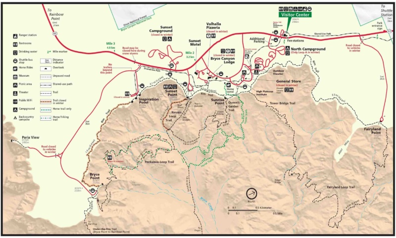
Assuming you don’t hitch a ride back to the official Hayduke, the walk back is a good one. It’s just over 3 miles of backroad walking from Tropic to the Tropic Trailhead at the national park’s boundary. Then it’s just over a mile along the trail to the bottom of the Bryce Amphitheater. This can be a popular area as many of the awesome day-hike trails from the rim converge in this area. From here you need get up to Bryce Point and have a few options to do that:
The Navajo Loop and Queen’s Garden trails are both amazing options, but as such you’ll likely encounter a crowd as they are by far the most popular hikes in the park. Navajo Loop is the more direct route compared to Queen’s Garden (2.9 miles vs 4.4), but some might argue the later is more scenic (but really you can’t go wrong here). If going the Navajo route, take the Wall Street branch if it’s open, but then at the top descend Two Bridge branch just far enough to see iconic Thor’s Hammer. Taking any of these routes will take you to the rim and then you’d take the Rim Trail to Bryce Point. An advantage of going this way is that there are restrooms and water at the top at Sunset Point and food options available not far away.
However, the most direct path to Bryce Point from the bottom is via Peekaboo Loop Trail — which is also an incredibly scenic way to go.
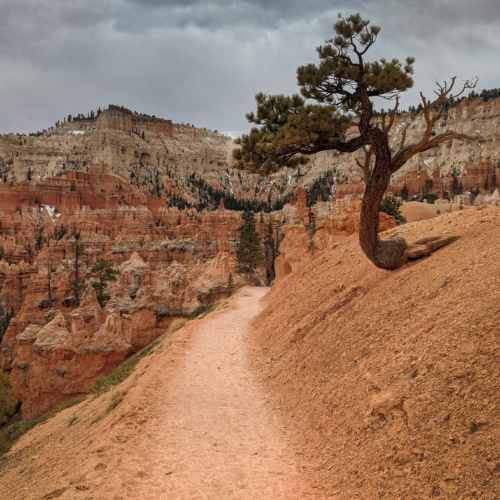
Bryce Canyon: Peekaboo Loop Trail
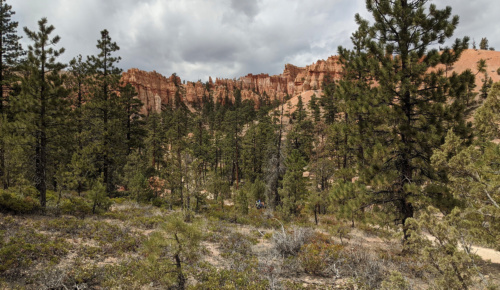
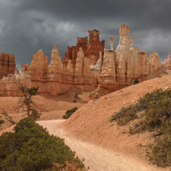
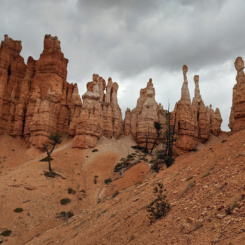
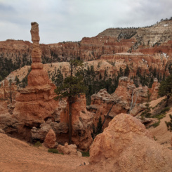
Take the eastern segment and climb up through the Fairy Castle formation and other hoodoos. Eventually you will come to a junction where the loop doubles back (right) and a route (left) climbs up toward Bryce Point. Note there is a backcountry pit toiler near this junction which is available later in the season.
NOTE: the Peekaboo Trail connection to Bryce Point is commonly closed in the early season due to snow/ice. I’ve found that this is not always signed at the bottom and the park tends to be overly cautious re: this closure.
Whether via the Rim Trail or via Peekaboo Loop Trail you should eventually be at Bryce Point. Once there you should go out to the overlook to check out what’s probably the most iconic view of the park (just know that you’ll have to share it with a BUNCH of people.) No water/toilets are available at Bryce Point. After you’ve had your fill of the view (or the people), find your way to the beginning of the Under-the-Rim Trail nearby.
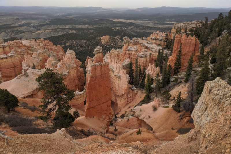
Under-the-Rim Trail
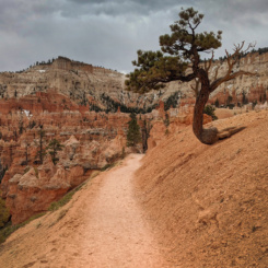
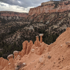
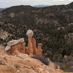
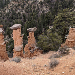
The Under-the-Rim route quickly loses much of the elevation one has just gained. After contouring around a ridge one comes to The Hat Shop — a fun collection of hoodoos.
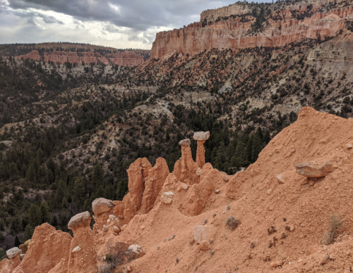
The Hat Shop
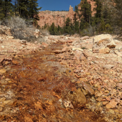
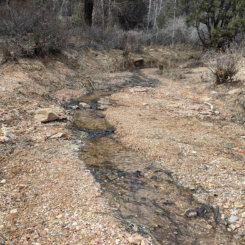
From here one drops into the upper reaches of a fork of Yellow Creek. Here one will likely find water, if not it’s more likely it will be flowing down in the main branch. This area also has the first of several designated camping sites.
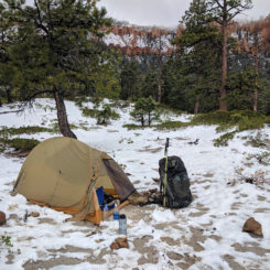
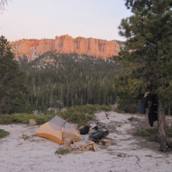
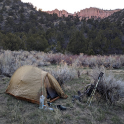
NOTE: all camping in Bryce Canyon is by permit only and for specific sites. A bear canister is also required. Luckily it’s easy to divert in many places and camp just outside the boundary in the National Forest where there is no such requirements. Be mindful though that black bears are common here, so be careful with your food.
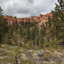
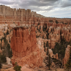
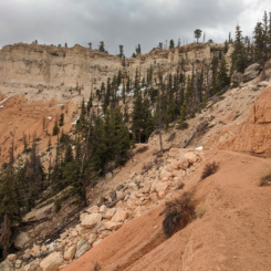
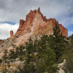
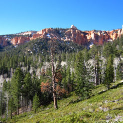
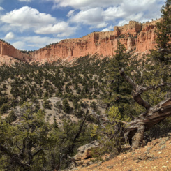
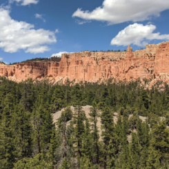
Continuing south on the Under-the-Rim Trail the routes fluctuates from climbing/descending as it contours around the many ridges underneath the colorful hoodoos. It’s very scenic, though IMHO it can become monotonous at times (oh look, more pretty orange hoodoos — now let’s climb another hill! 🙂 )
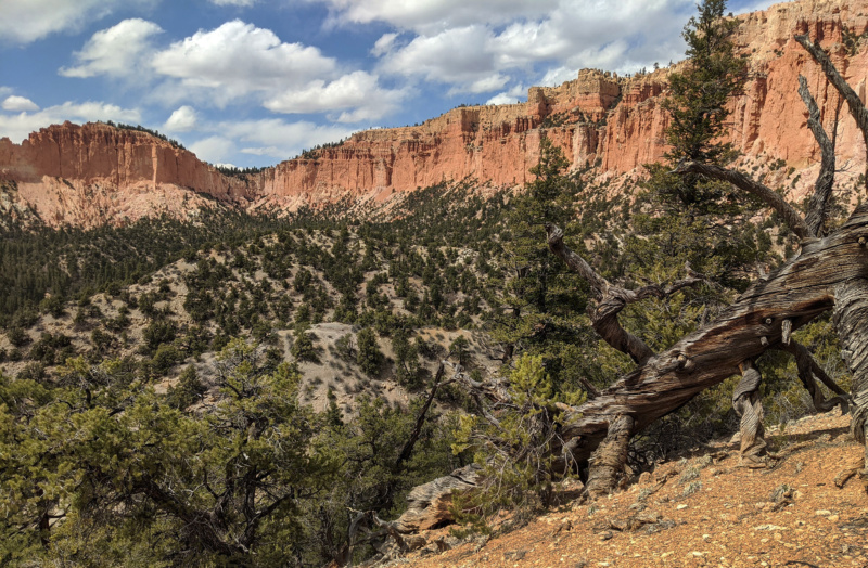
Under-the-Rim Trail
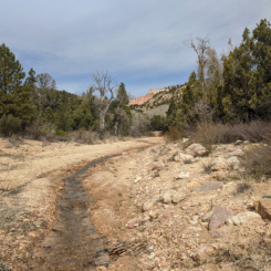
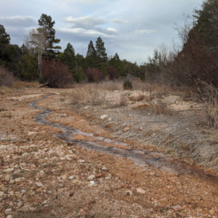
To save some time my preferred route was to connect to the Grand View Trail at upper Sheep Creek. In addition to being shorter/easier, one is more likely to find water along this route as well — though be aware that even Sheep Creek is intermittent at times. After following the section through the National Forest back up Noon Canyon, one can then re-connect with the Under-the-Rim Trail and the official Hayduke in upper portion of Willis Creek drainage.
Soon one should be back on the Hayduke with hopefully more food/supplies in the pack and good memories from the rest of the park.
Gallery:
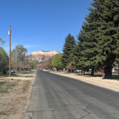
- Day 1: walking out of Tropic
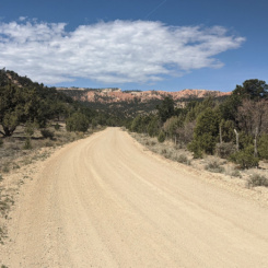
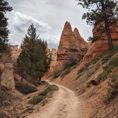
- dirt road approaching Bryce Canyon
- bottom of Bryce Amphitheatre
- Bryce Canyon: Peekaboo Loop Trail
- Bryce — Peekabook Trail
- Peekaboo Trail
- Peekaboo Trail
- headed up Peekaboo Trail
- climbing toward Bryce Point
- climbing to Bryce Point
- climbing toward Bryce Point
- climbing toward Bryce Point
- climbing toward Bryce Point
- view from Bryce Point
- Under-the-Rim Trail
- The Hat Shop
- The Hat Shop
- The Hat Shop
- Yellow Creek
- Yellow Creek
- Yellow Creek
- massive outcrop
- upper Sheep Creek
- Bryce Snow
- ridge camp outside boundary
- camp near Noon Canyon
- looking down to Noon Canyon
- along Under-the-Rim Trail
- Under-the-Rim Trail
- Under-the-Rim Trail
- under the rim once again


