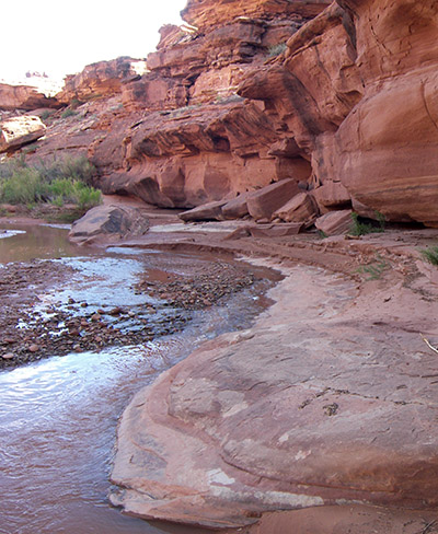
– visit the falls when Indian Creek is flowing –
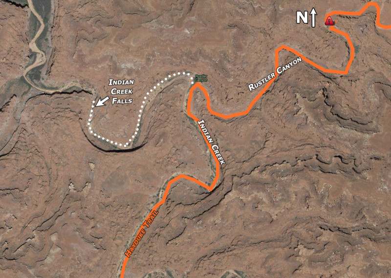
Indian Creek Falls is a short diversion off the Hayduke Trail. When one is at the junction of Indian Creek and Rustler Canyon, it’s only about two bends and 1/2 mile down canyon to the falls. The 20′ waterfall is seasonal and not seen by very many people. In fact, most who do see it, travel UP the canyon while taking a break from rafting down the Meander Canyon on the Colorado.
Unfortunately I have ZERO pictures to share of the falls. I didn’t know about the falls the first time I went through this section and then years later when I returned with the intent of getting photos… Indian Creek was not flowing at all. 🙁
But, if you Google “Indian Creek Falls Utah” you should see some images.
NOTE: these falls should not be confused with an upper falls often referred to by the same name and located near where the Lockhart Backroad crosses Indian Creek.
*


When hiking down the Rustler Canyon to the Colorado are the falls passable without rappelling? Thanks for sharing all the great info!
Yes — it’s possible via a bypass route. I haven’t done it personally, but know some who have and they say it’s fairly easy. (done from the river up by many boaters.)
Just wanted to update this for anyone else looking to bypass the Indian Creek falls. We found the bypass last week when we were headed from the Colorado River to Lockhart Basin Road. The bypass starts nearby the southern tip of the oxbow canyon at these coordinates: 38.285686 N, 109.784897 W. There are some rocks stacked up to help you gain the ~5 ft climb up to a rock shelf. You follow this rock shelf back to the east towards the Indian Creek falls. There are some additional 4 to 5 ft climbs and drops that you will need to scramble over, but it will eventually take you all the way around to the top of the Indian Creek falls. If you know what to look for, you can spot a faint trail on Google Earth at these coordinates: 38.288349 N, 109.781009 W.