Lower Buckskin Gulch
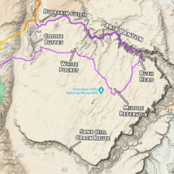
This alternate down the Buckskin/Paria and back across the Paria Plateau adds considerable mileage, but also visits some of the most amazing canyons and slickrock on the Colorado Plateau. As shown the route can almost be thought of as a Diversion more than an Alternate. However, most Haydukers doing this variation tend to NOT hike the route as shown west back across the plateau, but instead go south to the Sand Hill scramble route down the cliffs. These hikers then re-connect with the Arizona Trail south of Jacob’s Lake or even continue farther south to the Saddle Mountain/Nankoweap area. These options would definitely save some miles, but would skip White Pocket, Coyote Buttes South (permit required), and some other cool sites on the Paria Plateau.
PROS:
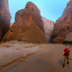
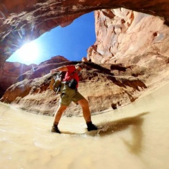
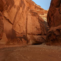
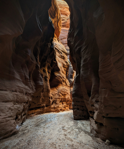
— the full length of Buckskin Gulch is incredible.
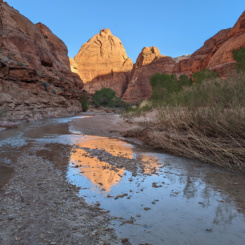
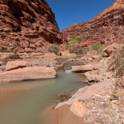
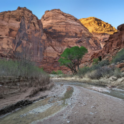
— the Paria Canyon portion is also quite incredible.
— White Pocket and other spots on the plateau are truly incredible (see the pattern here?!)
— the “escape route” from the the Paria is a fun challenge with amazing views few see
— great water sources along the Paria
CONS:
— hard-to-get permits
— permits further complicated by pick-up process (and route is regularly patrolled)
— a bunch of extra miles compared to the official Hayduke (+50-ish miles)
— at times Buckskin Gulch can be challenging due to pools/mud
— the canyons are very prone to flash floods
— top of Paria Plateau is sandy and dry
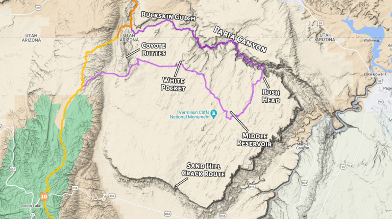
DETAILS:
The traditional route down Buckskin Gulch and Paria Canyon is great, but it’s fairly well covered elsewhere so I won’t go into detail here.
NOTE: read my Paria Plateau Loop Hike report for more detail on the Buckskin/Paria and see the Permit Overview page for details re: the permit process and wag bags.
Even though the Buckin/Paria route is popular, it has never seemed overly crowded to me (once past the Wire Pass area which can be a madhouse.) That said many of the camps marked on the BLM maps are overused. If possible, try to camp away from these as there are plenty of other fine camps along the Paria (especially for those with a small footprint.)
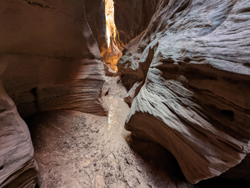
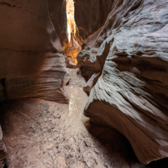
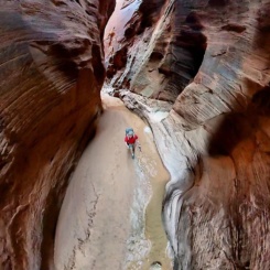
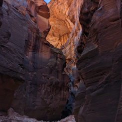
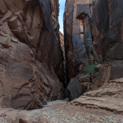
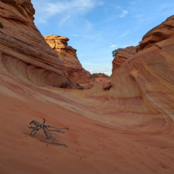
Buckskin Gulch
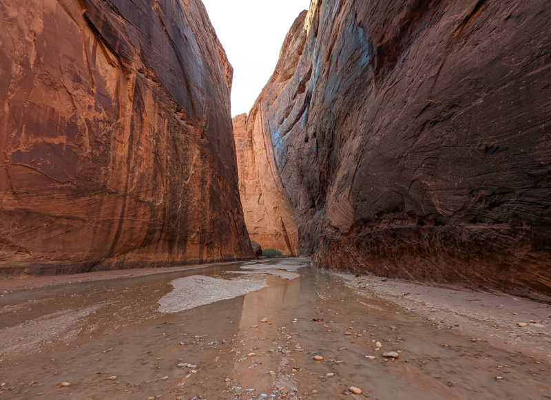
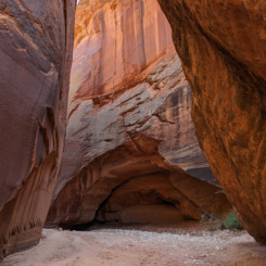
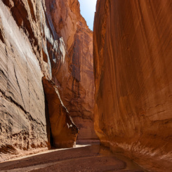
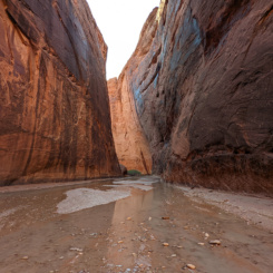
Paria Canyon
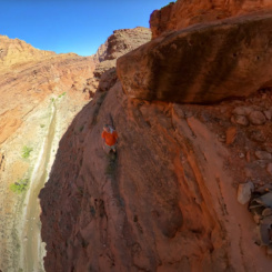
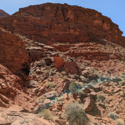
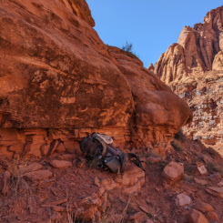
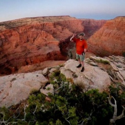
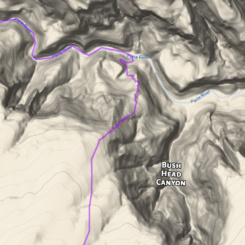
The crux of the route for Haydukers is exiting the Paria via the Bush Head Exit. The route requires some routefinding skill and scrambling up a series of cliffs. Though one must be careful due to loose/crumbling rocks at some points, the exposure is never really that bad. The views along the way and along the rim are pretty great.
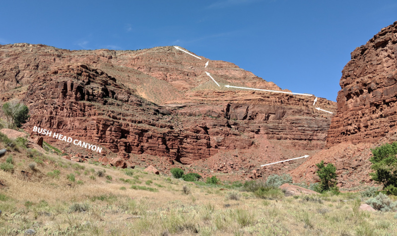
view of route to rim from farther down canyon
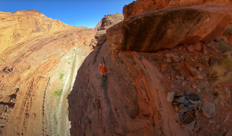
scrambling up the cliffs above the Paria
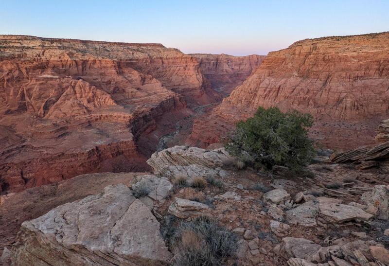
top of Bush Head Exit Route
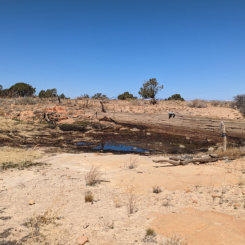
Once at the top make your way to Bush Head Reservoir and an old cabin area. There will likely be water at the reservoir, but it’s often low quality and thus best avoided. Here one can pick up an old sandy road headed SW. After about a mile one will come to the “T” in the road where most hikers will want go left on the main road headed south down Bush Head Valley.
NOTE: a shortcut is possible if heading west back across the plateau toward White Pocket. Instead of left, go right on the road for a ways and then cross country toward the Lower Reservoir Area. Though shorter, this method would skip other cool sites including Middle Reservoir which is usually a good source of water.
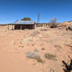
A short ways down the road one will pass a small ranch house at a crossroads — there’s a well here, but it was dry in spring 2022. Go right and continue on the road up Bush Head Valley. This is a very sandy stretch and a bit of a slog. Sometimes one will see Moqui Marbles along the way. About 1.5 miles south of the ranch and approaching Button Ridge is where where those heading back west across the plateau (suggested route) will leave the road. Those headed south to Sand Hill crack should continue south along the road toward Joe’s Reservoir. I won’t describe that route as I personally haven’t done it.
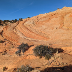
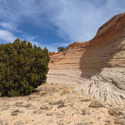
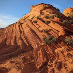
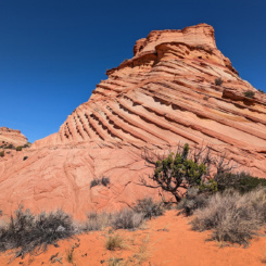
Those headed west should leave road and head up a draw to the SSW and over Button Ridge (likely crossing a fence along the way). Dropping down into Button Pocket there’s some scenic slickrock where one can follow the interesting sandstone to the west.
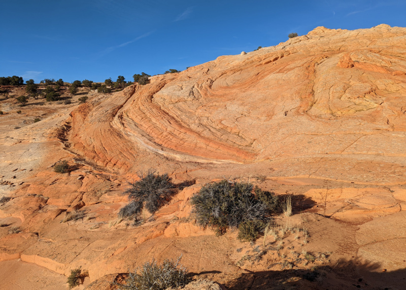
Button Pocket
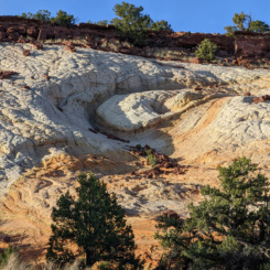
The next major milestone is Middle Reservoir about 1.5 miles WNW of Button Pocket. Though a fairly direct route is possible, I meandered south toward another road and then angled back NW. This route is about a half mile longer, but hits two additional cool outcrops of slickrock.
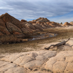
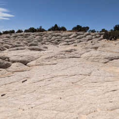
Middle Reservoir typically has water surrounded by more great “brain rock” sandstone. The water can be polluted by cows though. Luckily when I was there the adjacent windmill/well and catch-tank was full of good water.
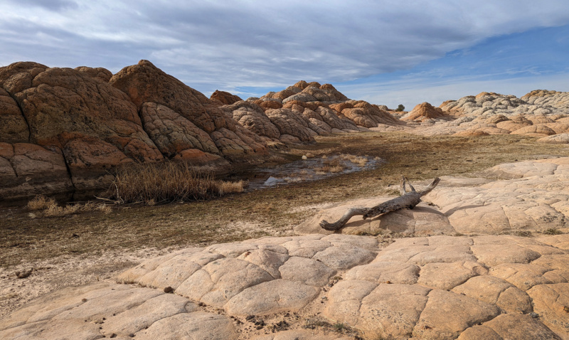
Middle Reservoir
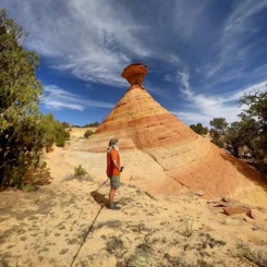
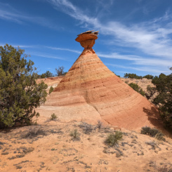
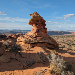
From Middle Reservoir one heads cross county toward another outcrop of wavey” sandstone and eventually to a unique formation known as the Cowboy Hat.
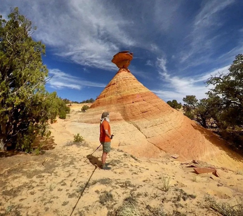
The Cowboy Hat | Paria Plateau
From here head west toward Lower Reservoir. There is likely to be water at the reservoir, but when I was there it was so polluted I didn’t even sample it.
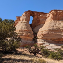
Head NW from Lower Reservoir toward the next destination which is Hole in the Rock — a larger-than-expected arch. Though I didn’t try, it might be possible to get under the arch. Instead I followed the saddle on the arch’s southern side to cross to the west. Be sure to turn around here and enjoy the view of the arch from the other side.
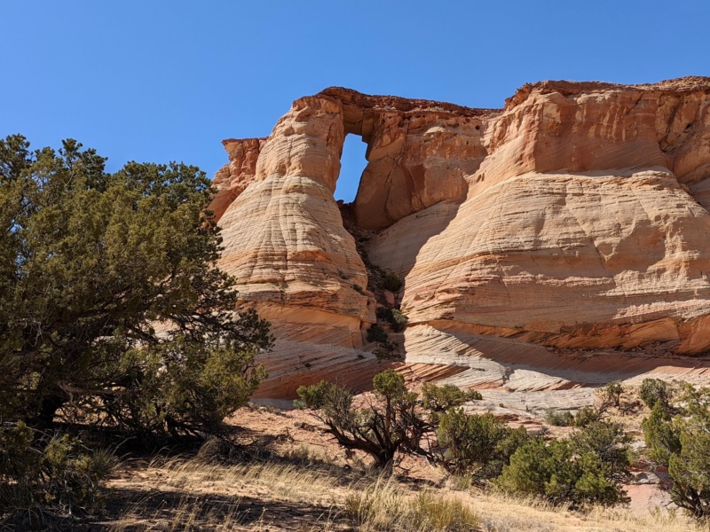
Hole in the Rock | Paria Plateau
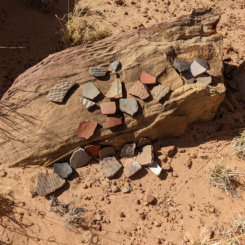
The next major landmark is called “Pottery Butte” and as the name implies one is likely to find pottery sherds in the area. Please leave all that you find.
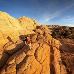
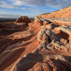
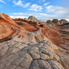
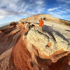
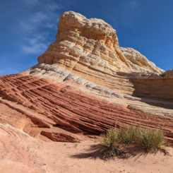
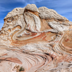
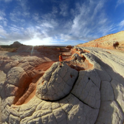
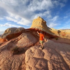
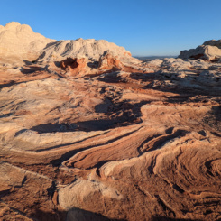
From here one can angle NW to White Pocket where one will likely encounter the first people since leaving Paria Canyon. The sandstone is amazing here and there’s a lot to see so dedicate some time to the location if possible. Sunset at White Pocket is truly incredible. There is commonly water pools at White Pocket, but if not… there’s likely to be plenty of day-trippers and even car campers at the trailhead who’d likely be willing to help out a thru hikers.
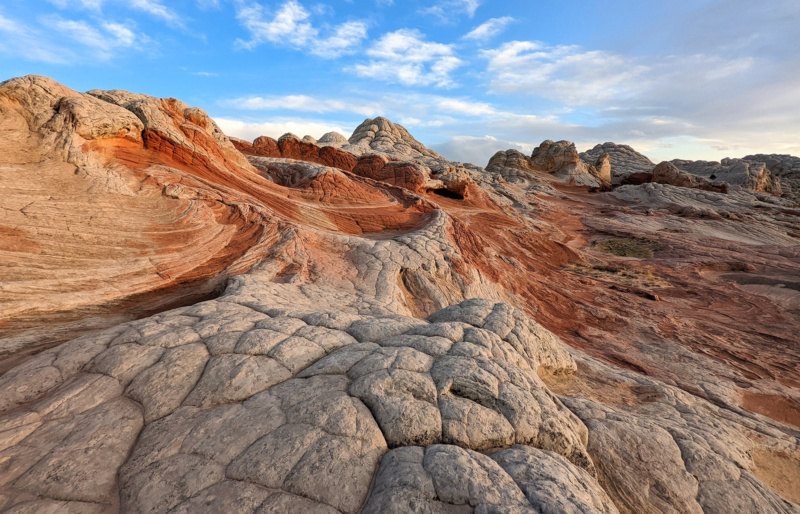
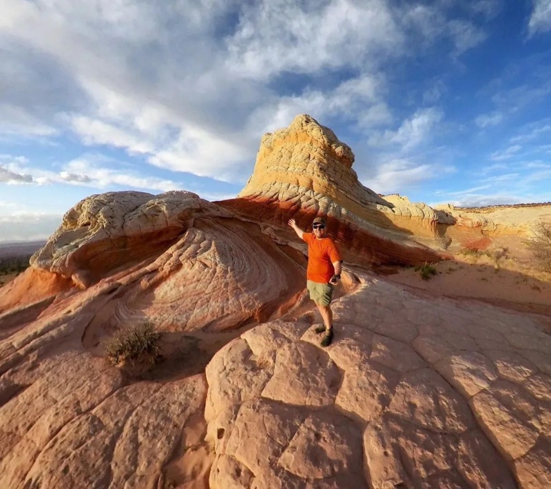
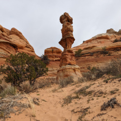
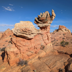
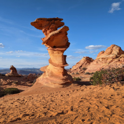
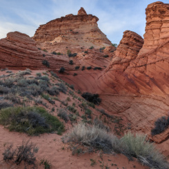
From White Pocket one can slog cross-country to Coyote Buttes South area. Before arriving at the Cottonwood Teepees TH there’s a nice pocket of sandstone with a feature known as The Chess Queen aka The Totem Pole.
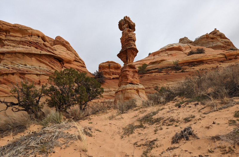
near Cottonwood Cove
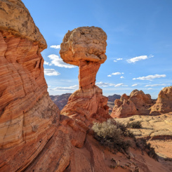
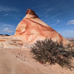
Not far past the Chess Queen is the parking area and TH for Coyote Buttes South. The area of west of the trailhead is part of the special permit area for day hiking. Permits here can be hard to get in prime season, but they are nowhere nearly as impossible as the Coyote Buttes North permit (aka “The Wave”). Without a permit one can still skirt the southern edge of the boundary to Paw Hole and see some cool slickrock along the way. BUT… if possible get the permit so that you can really enjoy the area and see the sites with various unofficial names like Southern Wave, Witches Hat, World Cup, Olympic Torch, The Control Tower, Half ‘n Half, Chocolate Swirl, and more.
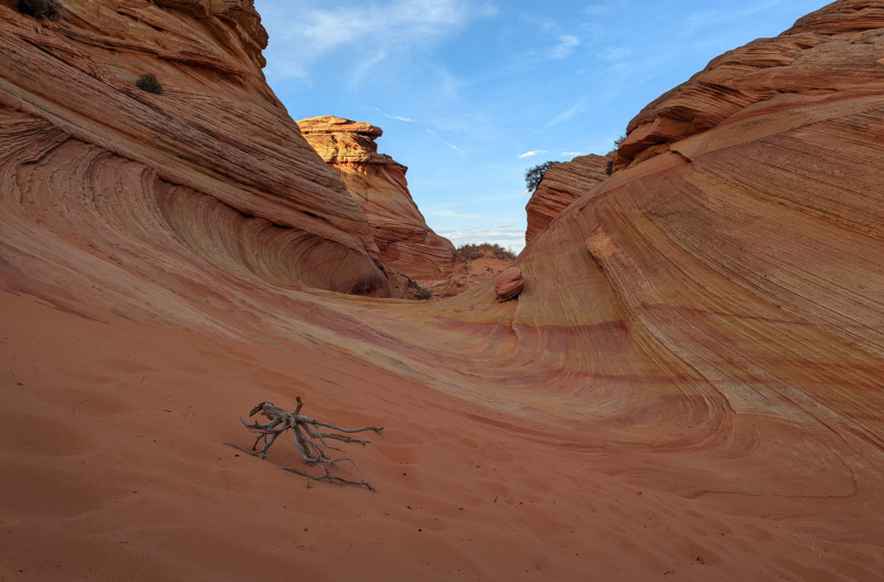
“Southern Wave”
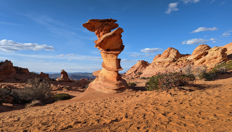
Coyote Buttes South | The “Control Tower “
With the permit one can take a route through the best area and continue the Cottonwood Cove along a bench and then over the high ridge and eventually to more features on the west side of the buttes. The best features here at known as “The Alcove” and “Sunset Butte”.
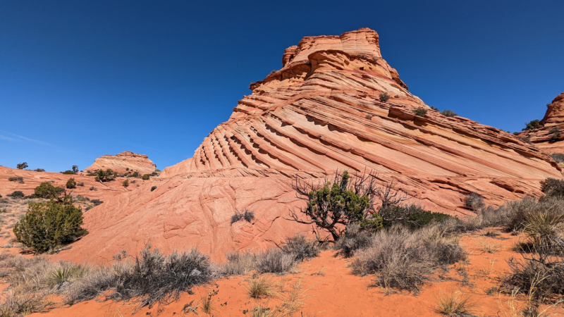
Coyote Buttes South | “Sunset Butte” on the West Side
From here one can head south to the Paw Hole area or just go cross country to House Rock Valley Road to the west. From there a road will take you up the incline to connect with the Arizona Trail and thus be back on the official Hayduke.
NOTE: an alternate alternate would be to exit Paria Canyon below the “Goosenecks” via the old Adams Trail. I haven’t done this route, but have heard that one scramble is somewhat sketchy. The route would re-connect near Hole in the Rock and cut about 20 miles off the proposed alternate.
For even more detail and photos, see my Paria Plateau Loop Report.
GALLERY:
- Buckskin Gulch | Paria Plateau Loop Hike ⮞⮞⮞
- Buckskin Gulch | Paria Plateau Loop Hike ⮞⮞⮞
- Buckskin Gulch | Paria Plateau Loop Hike ⮞⮞⮞
- Buckskin Gulch | Paria Plateau Loop Hike ⮞⮞⮞
- Buckskin Gulch | Paria Plateau Loop Hike ⮞⮞⮞
- Buckskin Gulch | Paria Plateau Loop Hike ⮞⮞⮞
- Paria/Buckskin Confluence
- Paria Canyon | Paria Plateau Loop Hike ⮞⮞⮞
- Paria Canyon | Paria Plateau Loop Hike ⮞⮞⮞
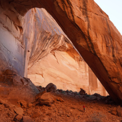
- Wrather Arch | Paria Plateau Loop Hike ⮞⮞⮞
- Paria Canyon | Paria Plateau Loop Hike ⮞⮞⮞
- Paria Canyon | Paria Plateau Loop Hike ⮞⮞⮞
- Paria Canyon | Paria Plateau Loop Hike ⮞⮞⮞
- Paria Canyon | Paria Plateau Loop Hike ⮞⮞⮞
- Paria Canyon | Paria Plateau Loop Hike ⮞⮞⮞
- lower section of Bush Head Exit Route
- Bush Head Exit
- Paria Canyon | Paria Plateau Loop Hike ⮞⮞⮞
- Bush Head Reservoir
- second Bush Head Cabin
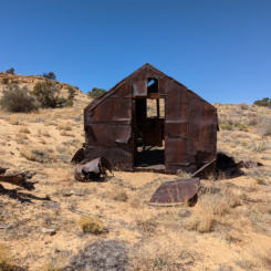
- abandoned homestead
- Button Pocket | Paria Plateau Loop Hike ⮞⮞⮞
- Button Pocket | Paria Plateau Loop Hike ⮞⮞⮞
- Brain Rocks
- Paria Plateau | Paria Plateau Loop Hike ⮞⮞⮞
- approaching Middle Reservoir
- Middle Reservoir
- Wavey Outcrop east of Cowboy Hat
- The Cowboy Hat | Paria Plateau Loop Hike ⮞⮞⮞
- Cowboy Hat | Paria Plateau Loop Hike ⮞⮞⮞
- Lower Reservoir
- Hole in the Rock | Paria Plateau Loop Hike ⮞⮞⮞
- Pottery Butte | Paria Plateau Loop Hike ⮞⮞⮞
- White Pocket | Paria Plateau Loop Hike ⮞⮞⮞
- White Pocket | Paria Plateau Loop Hike ⮞⮞⮞
- White Pocket | Paria Plateau Loop Hike ⮞⮞⮞
- White Pocket | Paria Plateau Loop Hike ⮞⮞⮞
- White Pocket | Paria Plateau Loop Hike ⮞⮞⮞
- White Pocket | Paria Plateau Loop Hike ⮞⮞⮞
- White Pocket | Paria Plateau Loop Hike ⮞⮞⮞
- White Pocket | Paria Plateau Loop Hike ⮞⮞⮞
- White Pocket | Paria Plateau Loop Hike ⮞⮞⮞
- near Cottonwood Cove
- Coyote Buttes South | Paria Plateau Loop Hike ⮞⮞⮞
- Coyote Buttes South | Paria Plateau Loop Hike ⮞⮞⮞
- “Southern Wave”
- Witch’s Hat, Coyote Buttes South | Paria Plateau Loop Hike ⮞⮞⮞
- Coyote Buttes South | Paria Plateau Loop Hike ⮞⮞⮞
- Coyote Buttes South | Paria Plateau Loop Hike ⮞⮞⮞
- Coyote Buttes South | Paria Plateau Loop Hike ⮞⮞⮞
- Coyote Buttes South | Paria Plateau Loop Hike ⮞⮞⮞


