The Stone Donkey
![]()
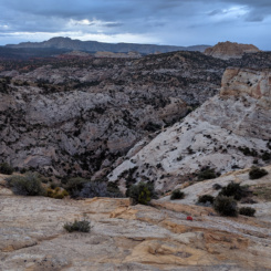
In Section 8 the official Hayduke Route winds its way through Hackberry Canyon, down Cottonwood Wash, and then back up the Upper Paria toward Bryce Canyon National Park. This extremely circuitous route isn’t even shown properly on the official Hayduke Guide route overview — maybe because it would look so silly! 🙂 What follows is a shortcut that connects mid-Hackberry to the Paria via Stone Donkey and Hogeye Canyons. This proposed alternate is much shorter and fairly scenic, but it does skip several cool spots along the official route in a trade-off.
NOTE: if not thru-hiking and just looking for a 2-3 day backpacking loop, using this route with lower Hackberry and the Paria would make for a great trip. Start at either the Hackberry TH (aka Yellow Rock TH) or terminus of the Movie Set Road on the Paria.
Here’s my pros/cons list for the alternate for those Haydukers considering the option:
PROS:
- shorter (approx. 7 miles vs 19 miles)
- visit seldom-seen canyons
- see the Stone Donkey (aka “Howling Wolf” Arch)
- skipping the slippery walking along the lower section of Upper Paria
CONS:
- skipping arguably the most scenic portion of Hackberry Canyon
- skipping the highly-recommended diversion to Yellow Rock
- skipping the Pahreah Townsite and colorful Chinle Hills nearby
- good navigation and route-finding skills required
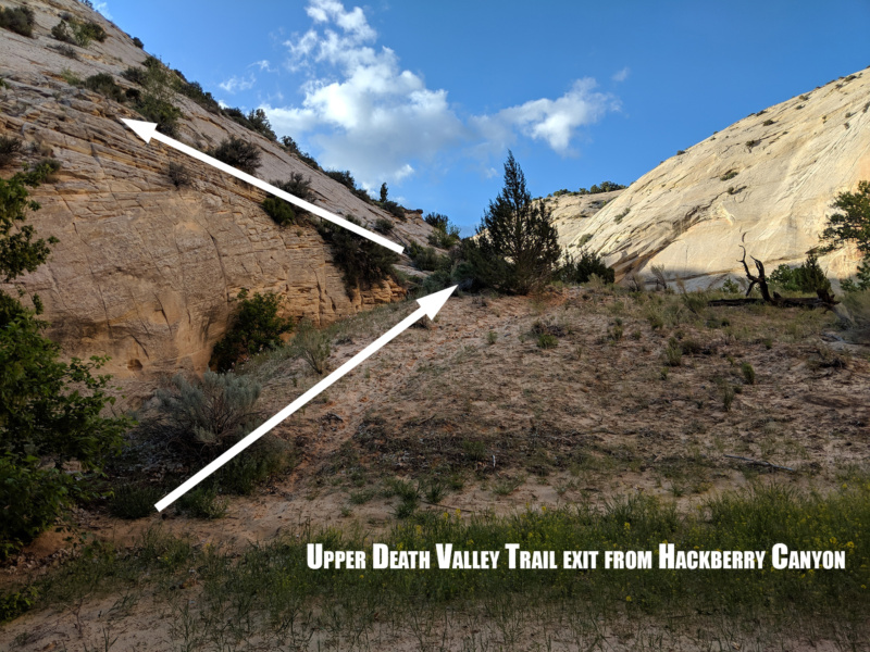
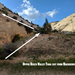
This route begins where an old cattle trail (the Upper Death Valley Trail) leaves mid-Hackberry on the west side of the canyon.
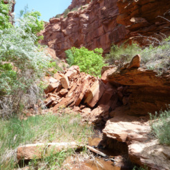
NOTE: as an alternate to the alternate, one can also continue down Hackberry to the bottom of Stone Donkey Canyon before exiting the canyon there. Going that way would add a few more miles, but lets one see some of the highest walls in Hackberry, fill up on water at the Stone Donkey Spring, and make a short diversion up to the narrow slot canyon in Stone Donkey before climbing up to the rim to connect with the route to Hogeye.
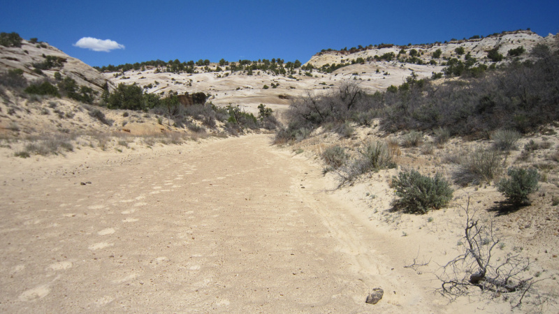
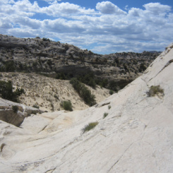
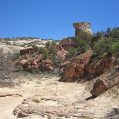
The exit route from Hackberry begins up a sand hill just about 1/3 mile below where “spring” is marked on the map. Note that the actual spring (or at least water) doesn’t actually appear until near or just below this exit route. The route goes up the most pronounced drainage in the area on the map. Make sure to check out the old cowboyglyphs on the wall near the exit route.
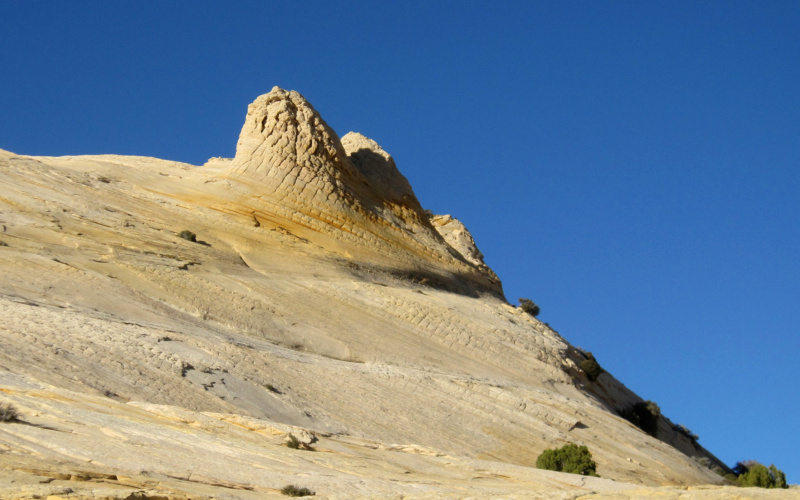
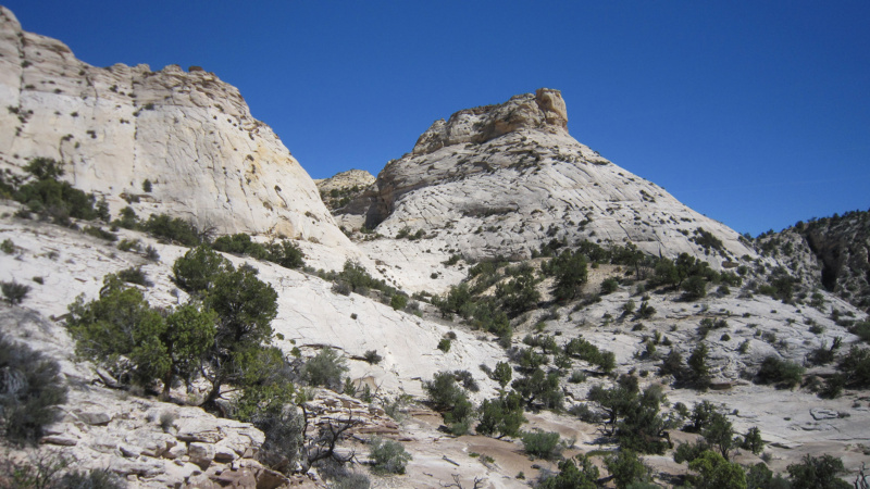
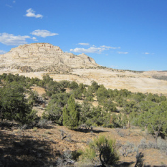
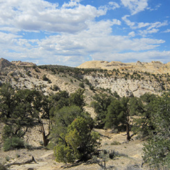
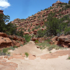
Once above the sand hill it’s possible to see some of the old constructed route as it climbs up through the rock. As one goes up the gully there might be cairn or two, but it will soon be easy to lose the official route. That’s OK, because just a short ways up the drainage one wants to veer off the Upper Death Valley route which heads north and instead head cross-country east-southeast toward the southern end (left) of Cottonwood Peak.
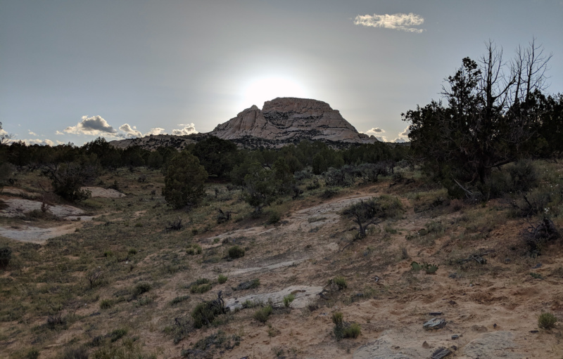
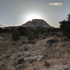
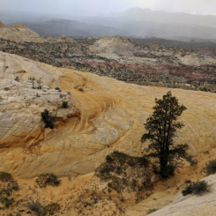
Cottonwood Peak in the distance
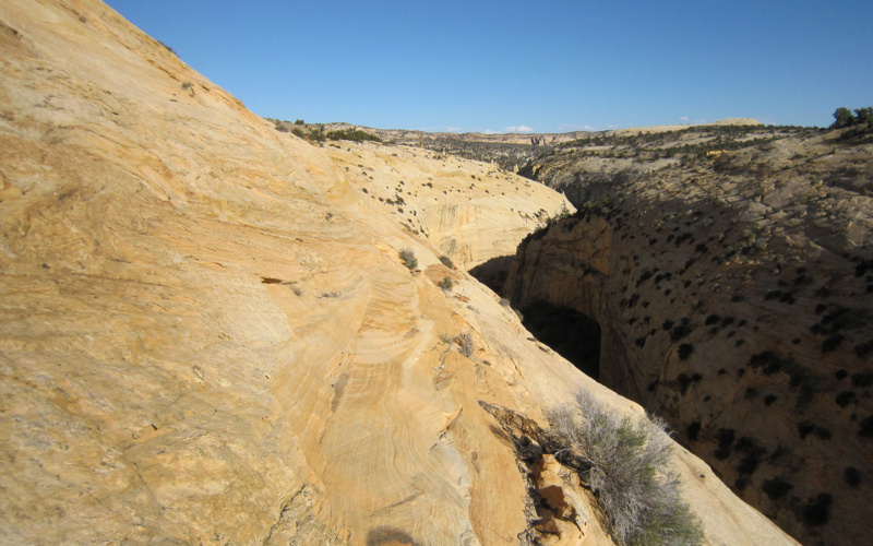
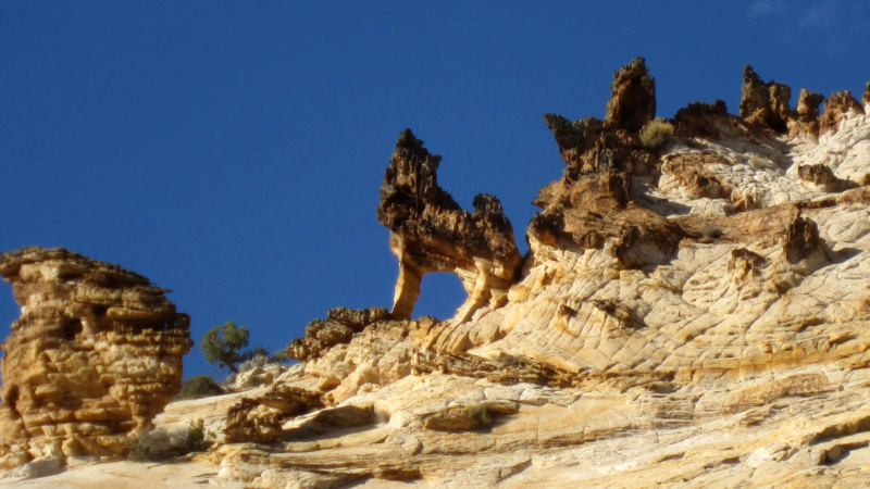
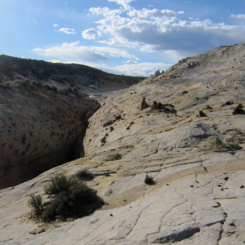
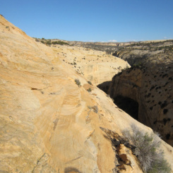
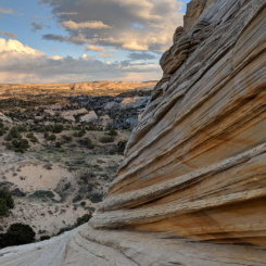
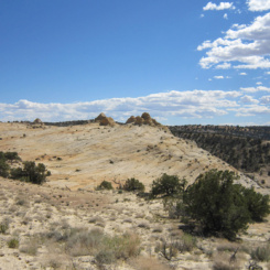
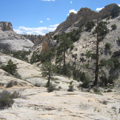
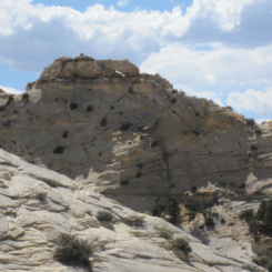
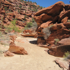
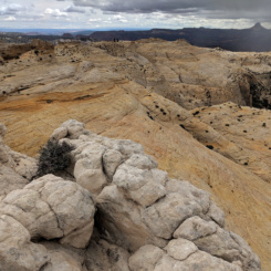
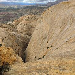
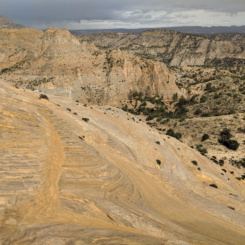
In about a mile one will see Stone Donkey Canyon cutting through the sandstone landscape ahead. One can walk over to near the rim to see some cool sandstone formations. From there one can follow the rim up canyon to eventually get to a flat wash above the top of the slot canyon below. However going this way requires traversing some very slanted slickrock with serious exposure. Veteran slickrock hikers will likely walk this without giving it a second thought, but others might be a little spooked. An unfortunate fall here would be fatal so if you are at all nervous (or if the ground is wet) don’t do it. Instead it’s recommended to take a “high route” which goes up to a shelf farther away from the canyon’s rim. It’s probably the better route anyway as it goes by some nice slickrock. Look for a colorful dome of slickrock which marks the eastern end of the “high route” where access is fairly easy.
looking back on semi-sketchy sandstone traverse — the higher route is recommended
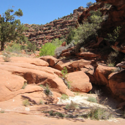
colorful domes mark the eastern end of the “high route”
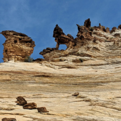
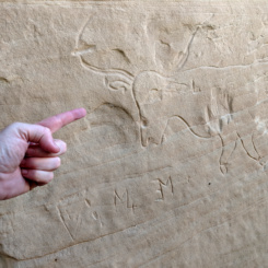
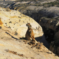
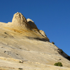
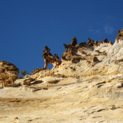
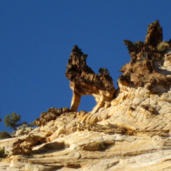
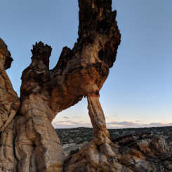
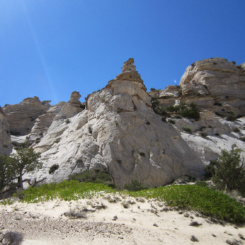
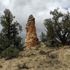
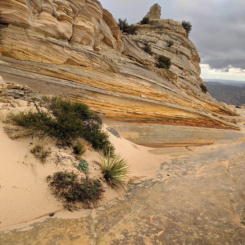
In about 1/4 mile and at the western end of the shelf one will need to drop down a little to see the Stone Donkey itself! This interesting rock formation/arch can look like various creatures when viewed from different angles. Before I knew it was THE Stone Donkey, I dubbed it “Howling Wolf” Arch on my first trip through the area. I since seen others refer to as that or similar. Though it’s cool to see the arch from “behind” up on the shelf, the classic view is from below near the wash.
The Stone Donkey (aka “Howling Wolf” Arch) as seen from below
Descending from the arch to the wash below can still be tricky so take your time to find the best route. The slickrock is still very steep, but a fall here definitely would not have the ramifications of falling on the traverse along the canyon’s rim (but… I recommended not falling anywhere if possible! 🙂 )
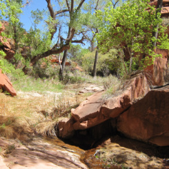
Once down in the wash one might find some potholes of water, but it’s typically pretty dry here. One now needs to cross the wash and head up into the sage brush and junipers for a cross-country route to an eastern fork of Hogeye Canyon.
NOTE: for those feeling more adventurous, it is possible to continue up Stone Donkey wash and climb the massive “Sandstone Mountain” which separates Hogeye and Snake Creek Canyons. There are some great views in all directions from the summit and more interesting slickrock formations (see gallery). From there one can carefully descend the precariously steep southern slopes into Hogeye from the NNW (see map), or even continue into Snake Creek to get to the Paria with even fewer miles compared to the Hayduke (this option is tedious and requires multiple bypasses though.)
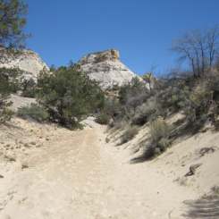
After a little over a mile of cross-country travel the NE branch of Hogeye Canyon will come into view. There are probably many ways down into Hogeye, but be warned several of the routes which look possible on a map are blocked by cliffs. Explore if you have time, but otherwise the route shown on my map will definitely work and is likely one of the quickest.
Once at approx. N37° 20.1′ W111 ° 57.5′ its time to drop into the canyon. There’s some cool slickrock south of this point if you have time to explore or need a decent place to camp. Otherwise find the path of least resistance down NW into the canyon.
branch of Hogeye Canyon
Watch for a small arch high on the opposite wall. Once down to wash level the path bends back to the south and passes several large pines before going through a pinch or notch in the sandstone and then drops down into another wash.
looking back up at the descent route through the “notch” (center)
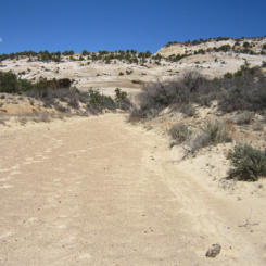
From here it might be easiest to stay on the bench above wash to avoid the brush. Heading northwest again downcanyon one will soon be at the junction with Main Hogeye. Head down the sandy wash.
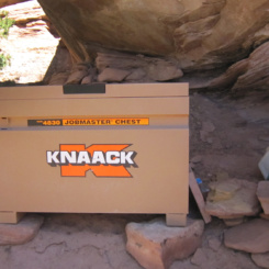
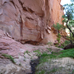
Less than a mile down the canyon and where a major drainage comes in from the left (east) one will come to a short drop. There’s an an easy bypass on the left which goes by a popular camping area. This spot is evidently used by BLM (or seemingly some official entity) as nearby one will see a stash of cooking apparatus and utensils, tools, coolers, and more (and it seems to be getting more and more use over the last 10+ years.)
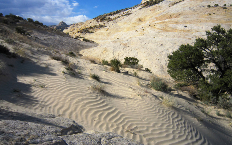
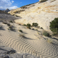
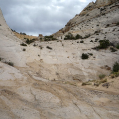
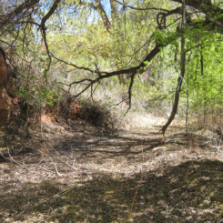
Continuing down canyon the walls change to consisting of chunky red rocks and soon the white sand will disappear.
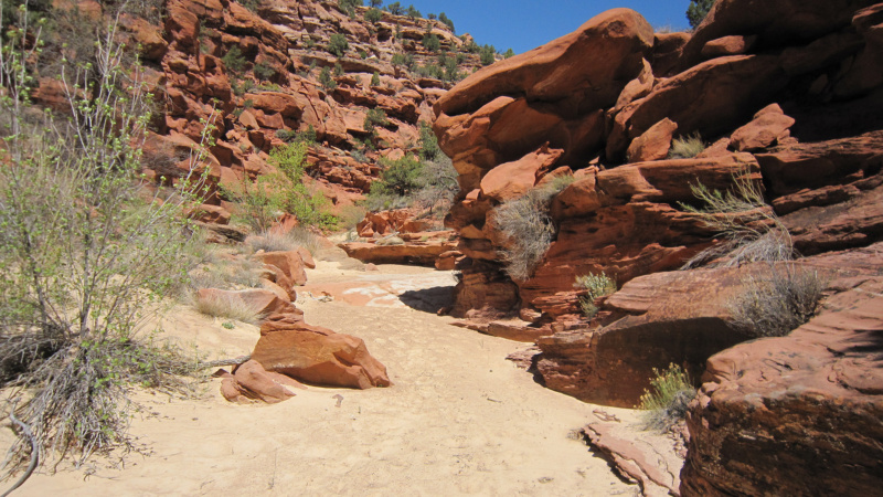
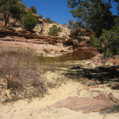
About a quarter-mile down canyon from the camp area the first water appears and the canyon becomes much more overgrown. The water might dry up for a short period, but then it will return and likely be continuous from that point on.
About a mile or so farther and one comes to a minor obstacle in the form of a rockfall. Conditions can change, but each time I’ve been through this area it was fairly easy to find a way to scramble through the boulders.
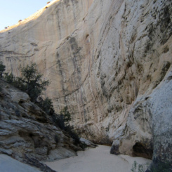
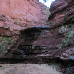
The next 1/2 mile or so is a nice section with a small stream flowing between red walls and occasionally over slickrock eventually leading to a little terraced waterfall.
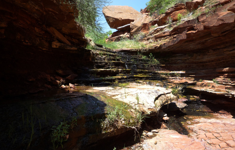
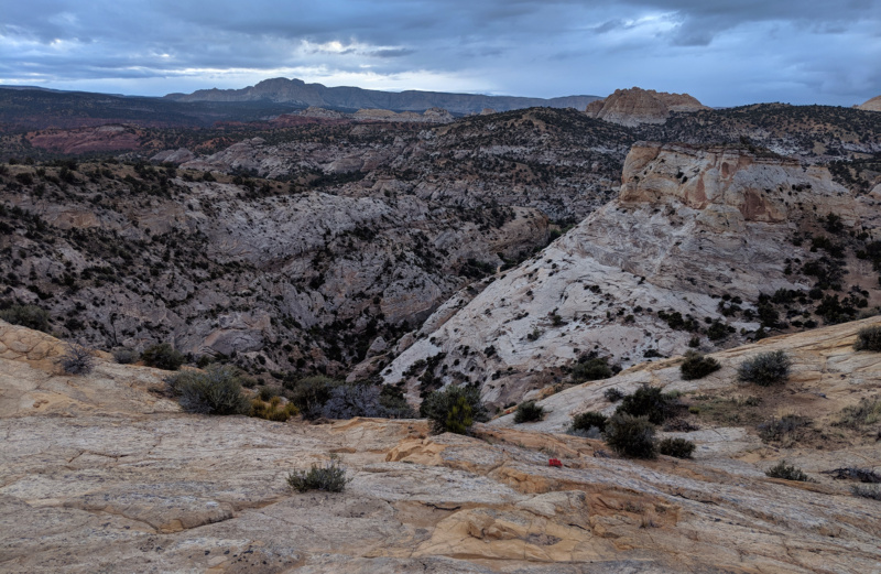
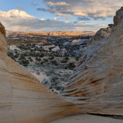
Below this spot the canyon begins to open up some and becomes even more brushy. The very bottom end might require a bit of bushwhacking, but soon one reaches Paria Canyon. The junction is actually in an abandoned meander, so walk through the sagebrush to get to the actual river which cuts the bend straight ahead.
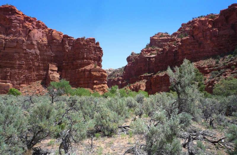
bottom of Hogeye Canyon where it meets Paria Canyon at an abandoned meander
At this point Haydukers want to to head up the Paria River, whereas loop hikers want to head down river.
Video Reference:
2009 Nevada to Colorado (Hogeye Canyon to Pollock Canyon to Hackberry)
2012 Bryce to Moab* Hike (Hogeye to Upper Stone Donkey to Hackberry)
2019 Hackberry Canyon and above the Upper Paria (lower Hackberry, upper Stone Donkey, Lower Death Valley Trail to Yellow Rock)
Gallery:
-
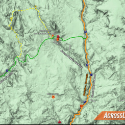
- Stone Donkey and Hogeye Canyon area map
-
- exit route from Hackberry Canyon
-
- cowboyglyphs
-
- looking back down into Hackberry
-
- up the gulley on Upper Death Valley route
-
- Cottonwood Peak in the distance
-
- T-Rex? near rim of Stone Donkey Canyon
-
- sketchy traverse straight ahead or climb up to the right for the safer route
-
- sketchy traverse
-
- looking back on sketchy traverse
-
- colorful domes mark the eastern end of “high route”
-
- colorful slickrock along high route
-
- colorful slickrock along high route
-
- near backside of the Stone Donkey
-
- The Stone Donkey
-
- “Howling Wolf” Arch
-
- “Howling Wolf” Arch
-
- backside of the Stone Donkey
-
- exiting wash
-
- looking back to Cottonwood Peak
-
- colorful sandstone south of descent route
-
- looking down into upper branch of Hogeye
-
- looking towards Mollies Nipple
-
- looking down into upper branch with “Sandstone Mountain” in the distance
-
- dropping into upper branch of Hogeye
-
- small arch on skyline
-
- upper branch of Hogeye
-
- the “notch” descent route
-
- the “notch” descent route
-

- the “notch” descent route
-
- sandy upper canyon
-
- sandy upper canyon
-
- walls begin to change color
-
- mid-Hogeye
-
- red walls in mid-Hogeye
-
- mid-Hogeye
-
- small drop near camp area
-
- storage bin at camp area
-
- brushy mid-Hogeye
-
- mid-Hogeye
-
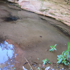
- spring in Hogeye
-
- mid-Hogeye
-
- rockfall in Hogeye Canyon
-
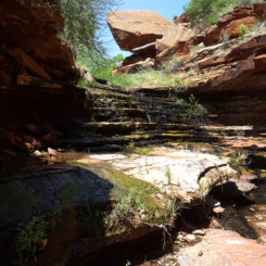
- cascades in Hogeye Canyon
-
- lower canyon
-

- bottom of Hogeye at Paria Canyon
-
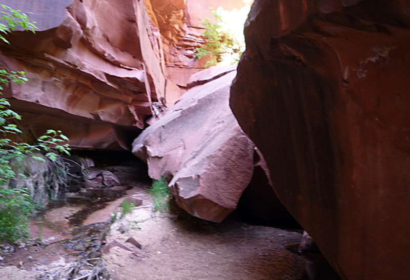
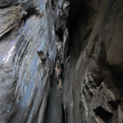
- tall walls of Stone Donkey Canyon
-
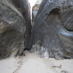
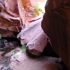
- entrance to Stone Donkey Slot
-
- pools common
-
- skinny slot
-
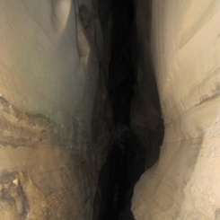
- very dark in one section
-
- odd formation headed up Stone Donkey Wash
-
- atop the “Sandstone Mountain”
-
- atop the “Sandstone Mountain”
-
- The “Chasm”
-
- colorful slickrock
-
- nice slickrock looking toward Snake Canyon
-
- steep slickrock descent into upper Hogeye
-
- looking down into Hogeye Canyon
-
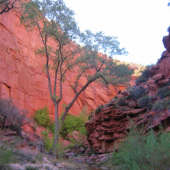
- aspen trees in upper Hogeye
-
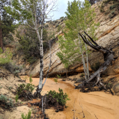
- lower Snake Canyon
-
- major obstacle in lower Snake Canyon