(previous: The Zion Traverse ⟺ next: Up the Grand Staircase)
Part 2: The Barracks
April 24th, 2018
Day 7
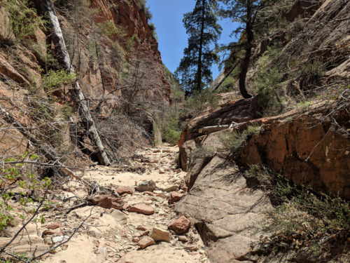
Checkerboard Mesa Gulch
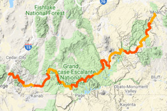
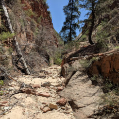
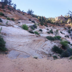
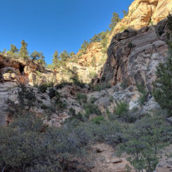
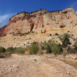
Earlier in the morning I’d finished the first section (The Zion Traverse) and now found myself making my way up the gulch just west of Checkerboard Mesa headed out of the park and towards The Barracks.
Walking in the wash about half way up to the pass I heard somebody loudly thrashing through the brush ahead of me up higher on the side of the cliff. Soon within sight I called out to the lady “Hello — how’s it going up there?”
She replied in a somewhat-frustrated tone, “Fine. THIS is the right way — up here where I am.”
What an odd comment I thought and just said “I think there’s more than one right way, but the wash still seems OK for now.”
She added “There’s a bunch of desert bighorns ahead. Keep quiet and you might see them.”
I wondered to myself how she’d seen them then, but just said… “Thanks!”
Sure enough… a little farther up I spotted a large group of the animals. It was quite the impressive sight — maybe 15 or more with most of them being very young. They quickly made their way away from me in a single file line up a steep cliff face and soon out of sight. I didn’t get a photo unfortunately and I’d not see them again.
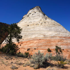
Once over the sandy saddle/pass, impressive views to the south came into view and I quickly made my down and around the southern end of Checkboard Mesa.
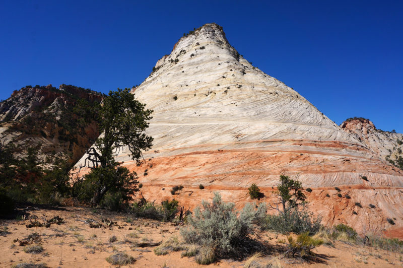
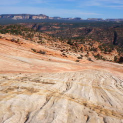
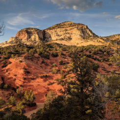
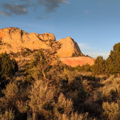
After hugging the cliffs for a bit the route turns south and heads across the slickrock with view of the Elephant Butte area in the distance.
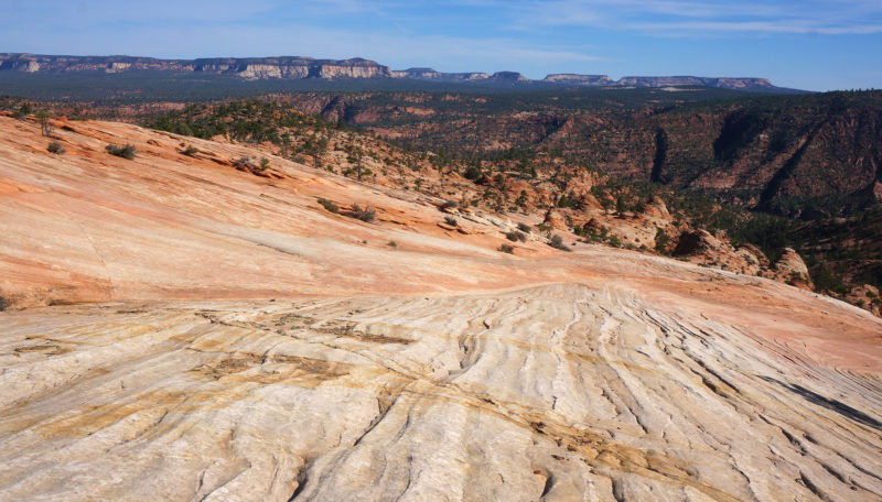
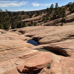
There are some potholes in this area — these surely would come in handy for those hikers climbing OUT of the Barracks on on hot day.
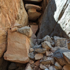
From here the route scampers along the ridge gradually losing elevation before diving down into the Barracks via two fairly steep drops. Neither drop is too scary — just go slow and make each step count.
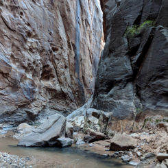
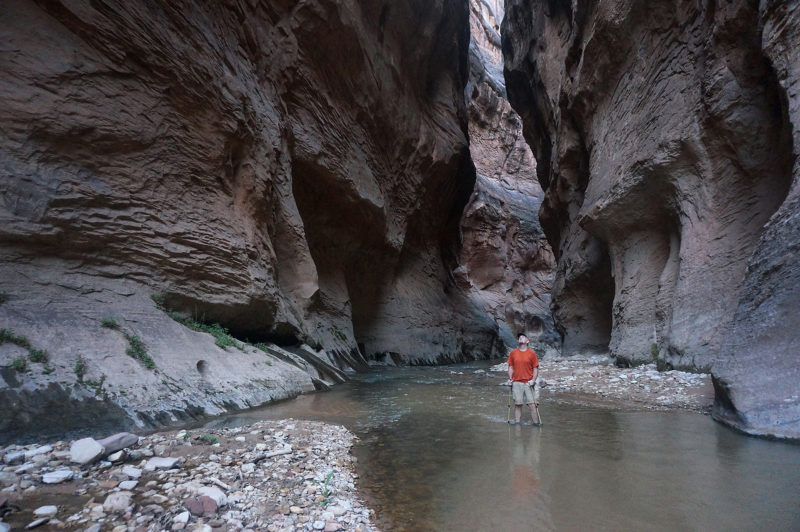
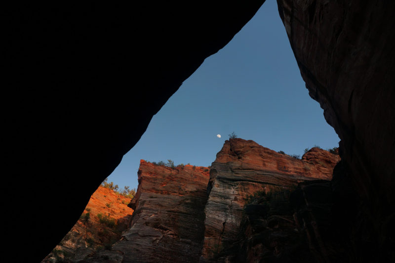
It was so great to be back down in the Barracks and alongside the East Virgin River. I decided to make camp in this area and then spend the rest of the afternoon exploring the lower part of the canyon which took on a somewhat eerie sense as the sun was already hidden behind the rim of the canyon. Eerie, but glorious. I hadn’t seen another person since the lady up by Checkerboard Mesa so it was awesome to have the place to myself as it got darker and darker.
Day 8
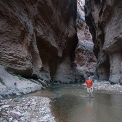
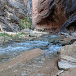
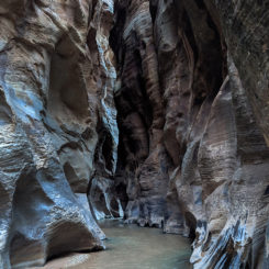
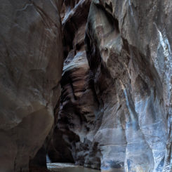
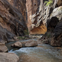
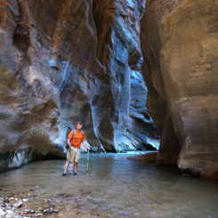
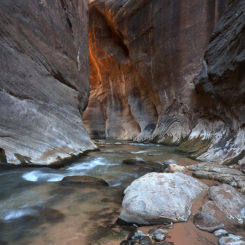
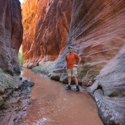
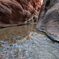
In the morning I headed up canyon. It was a slow go — just because it’s such a beautiful place and I couldn’t help but take tons of photos and video.
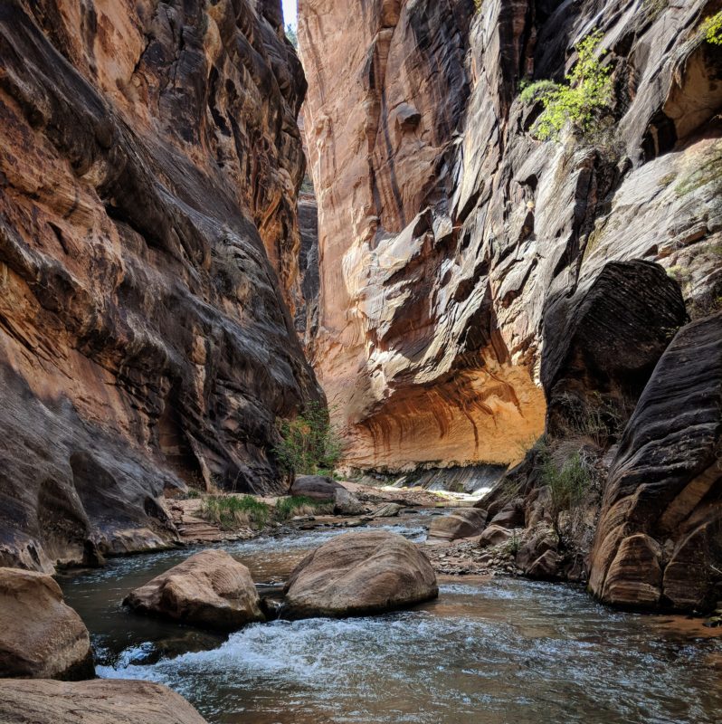
Day 8: Traveling up the East Virgin River through The Barracks. I love it so.
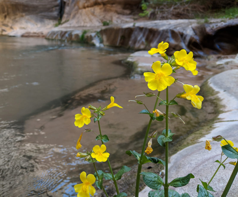
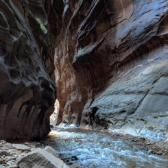
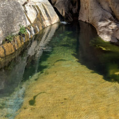
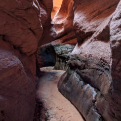
I’d considered stopping for a dip at the spot I call “The Whirlpool“, but it was still in the shade and it was still a bit chilly so I pushed on. The next set of narrows just might be the most impressive in the entire canyon in my opinion.
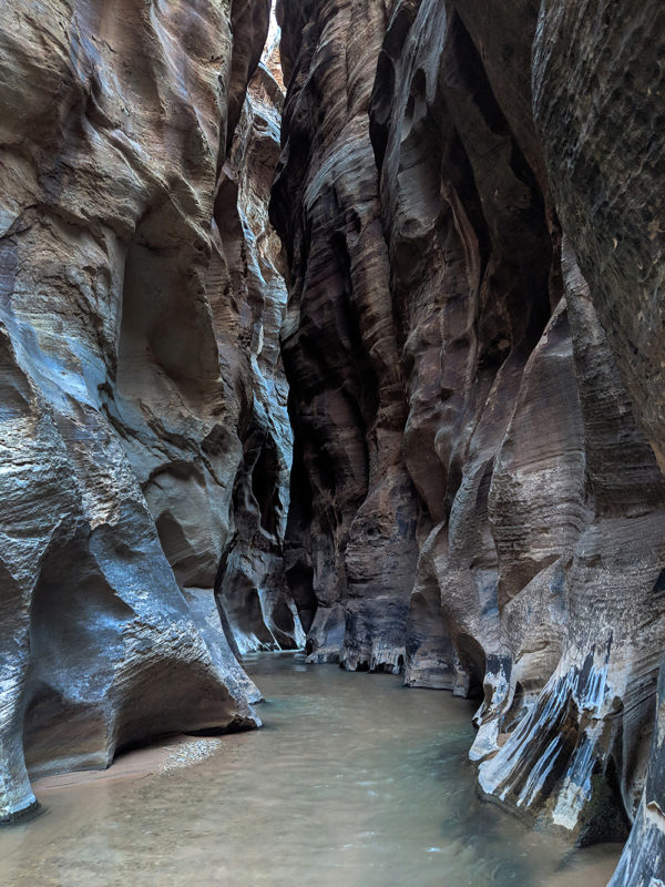
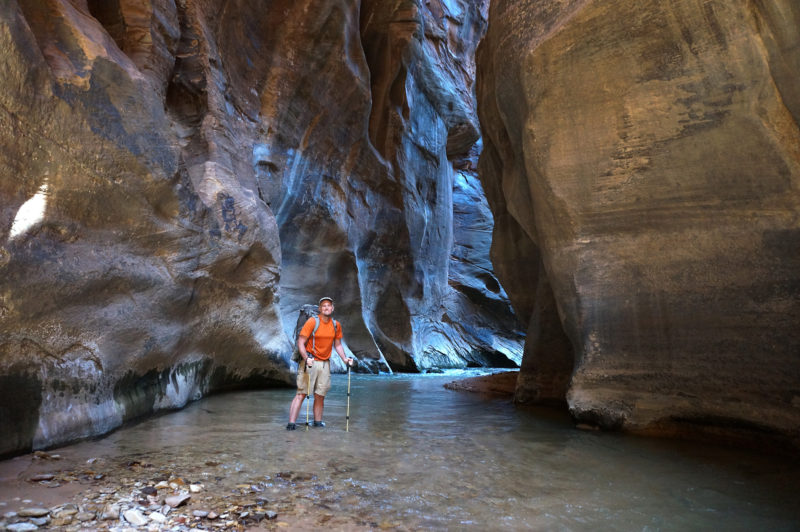
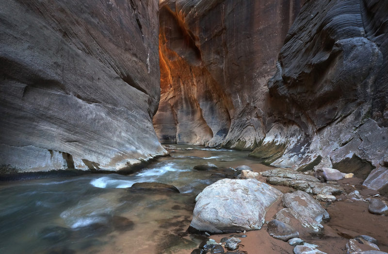
Shortly I arrived at the colorful pool at the bottom of Misery Canyon. There’s another route up the cliffs of the canyon here which the Hayduke Trail follows, but what a shame to miss all the sights just down canyon from this alternate exit.
Continuing on up the canyon opens up just a bit, but the walls continue to tower high above. Soon I ran into a group of three “Hayduke” hikers. They were planning to finish their trip at Weeping Rock in Zion TODAY! “It’s only about 15 miles,” they said. I recommended the slightly longer alternate to see the lower canyon, but they wanted none of it. It reminded me of how different I am compared to most thru-hikers. Sure — I could do that point-to-point 15 miles in about 5 hours as well IF I wanted to, but instead I opted to make that 15 miles closer to 25 with various “side hikes” and I did it all at a much slower rate to allow for pictures, video, and… just sitting around for extended periods to just let the view soak in. But, I also know my way isn’t for everyone — so to each their own and make sure to always “Hike your own hike“. 🙂
Just as I was saying goodbye to the three hikers, another backpacker rounds the bend headed toward us. “Are you Jamal?” he yells from a distance. I surprisingly confirmed and then as he got closer he went on to tell me that he loved my site and used it extensively to plan for his sectional Hayduke hike. The first three hikers headed off and I chatted some more with the second gentleman. It would be the first of SIX times that I’d get recognized while on this hike — a fact which kinda blows my mind. Soon social time was over though and I continued up canyon.
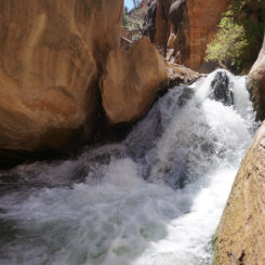
Just around another bend or two I arrived at the “Boulder Obstacle“. It changes shape every few years and this year a high flow was coming over the top. This would have made it really tough to climb over, so I was very glad that the bypass route exists.

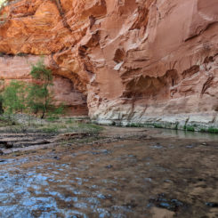
Immediately upstream from the obstacle one will start seeing the signs of cows (the obstacle blocks their downstream travel.) I’ve never seen actual cattle in this part of the canyon, but they must make the trip on occasion. Also just above the boulder obstacle there is one deep spot which is hard to avoid — it was about waste-deep on me this year. Soon after that I came to a spot that I call “Big Red Bend“. I call it that because it’s a big bend with towering red walls (who would have guessed?!)
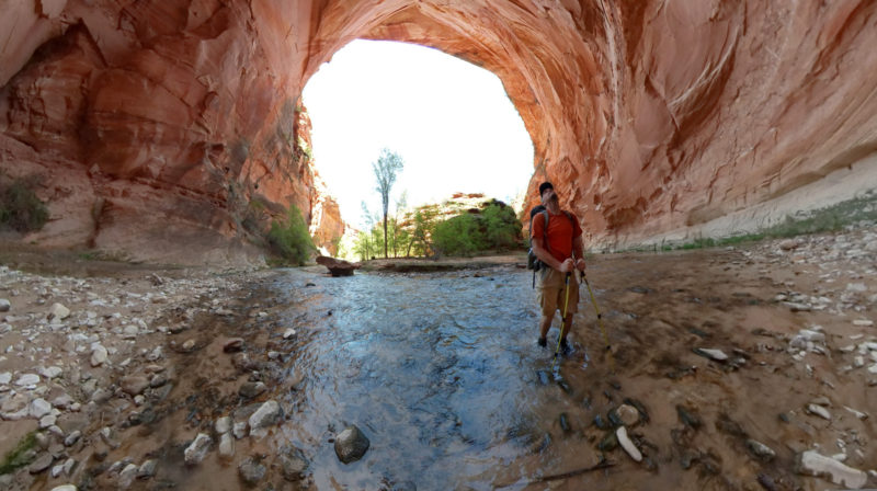
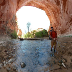
“Big Red Bend” 360-degree shot
Just past this spot is the junction with Poverty Wash to the north. A short 15-minute side hike up this pretty canyon leads to a short stretch of narrows and then a dryfall known as “The Grotto”. I think it’s definitely worth the diversion — see some pics in the gallery and/or read more about it via my Poverty Wash guide page.
Continuing up the canyon one soon comes to French Canyon on the right. Evidently there is a way out to the south if one continues up this side canyon, but I’ve only explored the very bottom section which is quite scenic if the lighting is right.
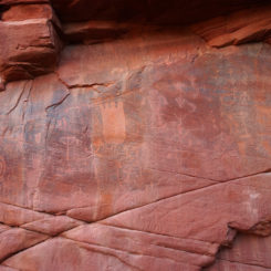
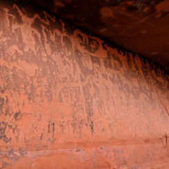
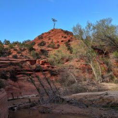
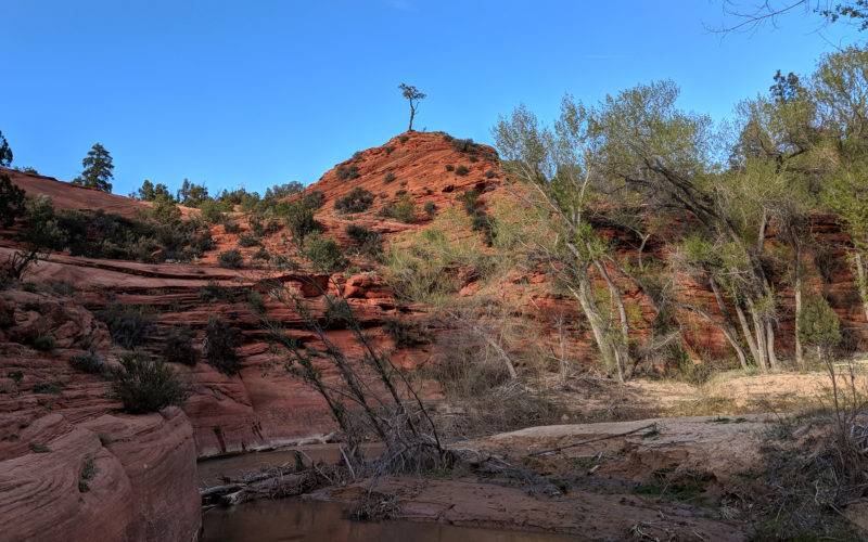
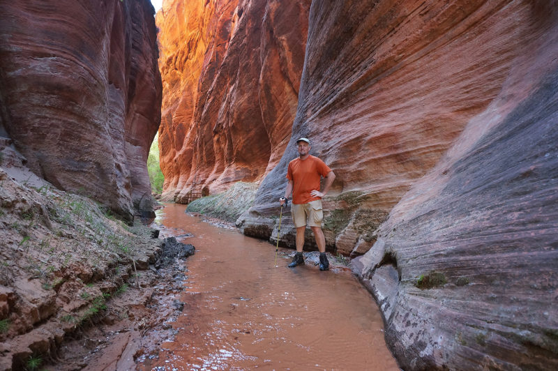 Continuing up canyon the canyon alternates between wide and narrow sections. When I came to the junction with Rock Canyon, I went up it a ways to explore the spring area. There are evidently some petroglyphs in this canyon, but I didn’t see them. However, back in the main canyon I did stop at the large petroglyph panel on the opposite side of the river. Just up canyon from this spot is one of my favorite trees in the canyon. It just seems so prominent and so proud:
I continued up canyon past the junction with Mineral Gulch and then soon camped by one of the decent springs in this area.
Day 9
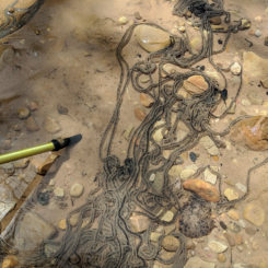
Headed up canyon I began to see cows. And old tires embedded in the stream. Both of these are a shame and the only negative to what is otherwise a great hike. I also saw THREE snakes in a very short time span including one big rattlesnake that scared the bejesus out of me as I was looking for a place to sit down and take a break!
After a few more hours of walking I met a lady on a horse with a dog. She was rounding up cattle and asked what I’d seen. She was appreciative to know that I could tell her where they were (and color of ear tags), but bummed they were too far downstream for her to round up on this day. I would see her again soon after I got to where the road began.
Once on the dirt road the walking became faster and the canyon transformed. It became much wider with grand white Navajo Sandstone cliffs walling in both sides. The were a few outcrops of really colorful sandstone along the way — along with a bunch more cows.
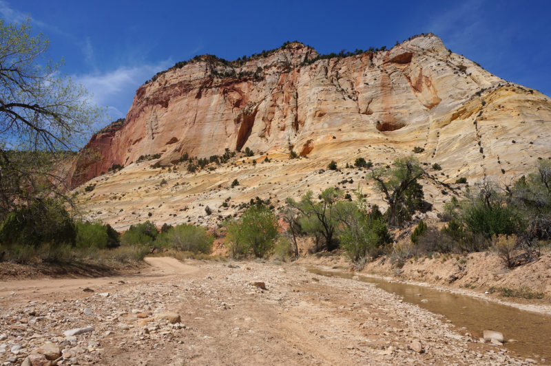
The road crosses through some private property along this stretch as well. It’s a somewhat slog of a walk along this portion, but there are times that’s necessary. Soon I was at the small dam which marked the spot where I would leave the East Virgin River and head up toward the Elkheart Cliffs. I filled up on water and started the climb up the hill and across Highway 89 to where I followed a dirt backroad as it continued up toward the colorful cliffs. This stretch always seems to take a little longer than I think it should, but the setting sun did make for an impressive view on the cliffs.
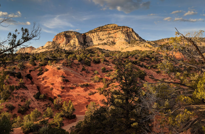
Before the sun was down I’d made it to Diana’s Throne which was close to where I had my first cache. Maybe it was because I was tired, but it took longer to find than normal. But alas I found it and all was good. I set up camp nearby and indulged in all the “heavy” food that was waiting for me.
Check out the full photo gallery below or continue reading the next section… Part 3: Climbing the Grand Staircase.
Photo Gallery:
- Checkerboard Mesa Gulch
- Southern Checkerboard Mesa | The Zion Traverse ⮞⮞⮞
- Slickrock south of Checkerboard Mesa
- Potholes south of Checkerboard Mesa
- Steep route down to the Barracks
- Final climb down to the Barracks
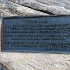
- The Powell Plaque
- Lower Barracks | The Barracks ⮞⮞⮞
- Lower Barracks
- Lower Barracks
- Barracks — above Powell Plaque | The Barracks ⮞⮞⮞
- IMHO the Best of the Barracks | The Barracks ⮞⮞⮞
- IMHO the Best of the Barracks
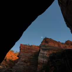
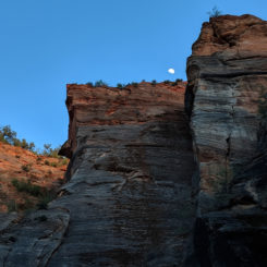
- Moon going down | The Barracks ⮞⮞⮞
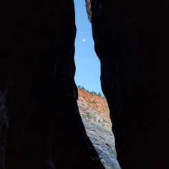
- looking up from the narrows | The Barracks ⮞⮞⮞
- Moon going down
- above Powell Plaque | The Barracks ⮞⮞⮞
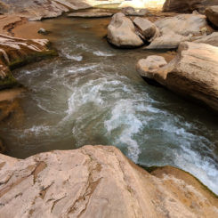
- The “Whirpool”
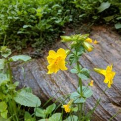
- flowers in The Barracks
- flowers in The Barracks
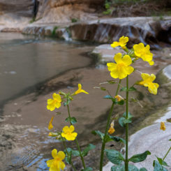
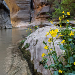
- flowers in The Barracks | The Barracks ⮞⮞⮞
- The Narrow Spot | The Barracks ⮞⮞⮞
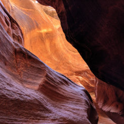
- Sun glow in the Narrow spot | The Barracks ⮞⮞⮞
- Pool at Misery Canyon
- The Barracks Obstacle | The Barracks ⮞⮞⮞
- Bypass Route
- “Big Red Bend” 360 | The Barracks ⮞⮞⮞
- Big Red Bend
- Poverty Wash Narrows
- the slot | Poverty Wash ⮞⮞⮞
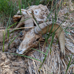
- former desert bighorn
- French Canyon | The Barracks ⮞⮞⮞
- The Red Narrows
- panel near Rock Canyon | The Barracks ⮞⮞⮞
- panel near Rock Canyon
- Proud Bonsai | The Barracks ⮞⮞⮞
- frog eggs
- Upper Barracks
- Elkheart Cliffs | near Kanab
- Diana’s Throne | near Kanab


