(previous: Through the Needles ⟺ next: Final Stretch to Arches)
Hayduke North from Canyonlands
May 27, 2018
Day 40
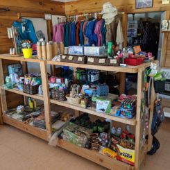
First things first, I headed into Needles Outpost. This privately-owned small store and camp area just outside of Canyonlands got new management a few years ago and the new team of Caleb and Amber are nothing short of awesome! They gladly accept packages via UPS for long distance hikers and it’s a great place to get a cold drink (or three) and some snacks and on some occasions a killer cheeseburger straight off the grill.
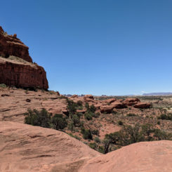
After a leisurely break re-packing my new supplies I headed out to the north across the sandy landscape. Staying just outside the boundary of the park I contoured back to the NW and across a patch of slickrock. I was happy I was able to cross the saddle as I’d hoped.
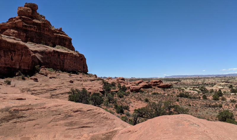
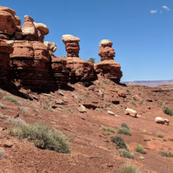
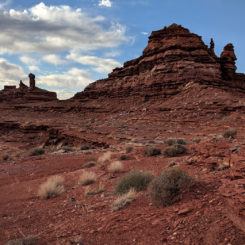
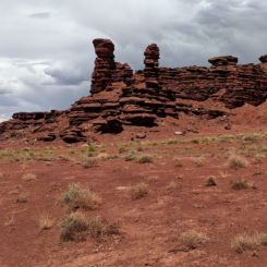
From here I continued to angle NW and eventually intersected a sandy road that I followed west for a way before leaving it to again go cross-country toward a ridge that looked interesting. The ridge of white-capped red hoodoos reminded me of Oompa Loompas for some reason. But, now in hindsight, the one on the right looks more like Alf!
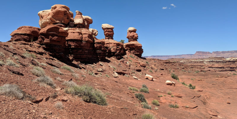
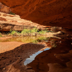
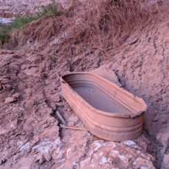
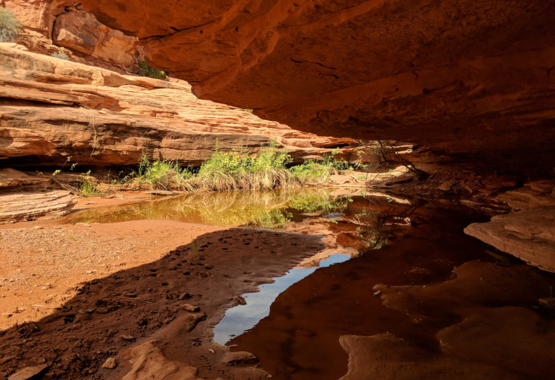
At the northern edge of the ridge I dropped down into “We-Hope-So Wash” — so named by the Hayduke Guide authors back when they hoped it would take them where they wanted to go. A few miles down I came to one of the few semi-reliable watersources in the area — a large pothole tucked in under a slight overhang. It was a nice place for a break in the shade and watch the birds fill up on water as I did the same.
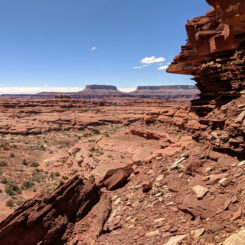
This location is very close to the short diversion to the overlook of the The Loop of the Colorado River — but I passed on the side hike this time and instead keep moving forward. Soon I was scrambling up out of the wash and to the top of the plateau to the east. I’ve done this section three times now and I think I’ve gone a different way each time. None of the routes that I’ve found are too hard, but they all have involved route-finding and minor scrambling. Looking back to the wash and the “Control Tower” pinnacle near the the Loop Overlook and the Needles in the distance.
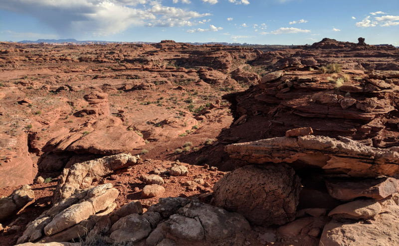
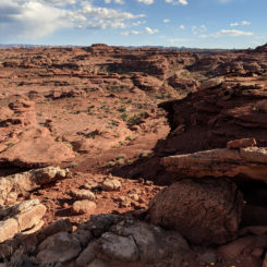
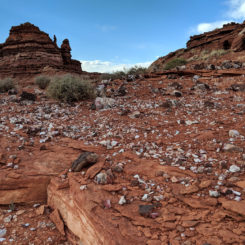
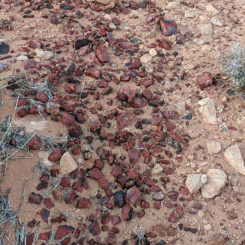
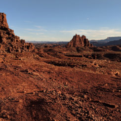
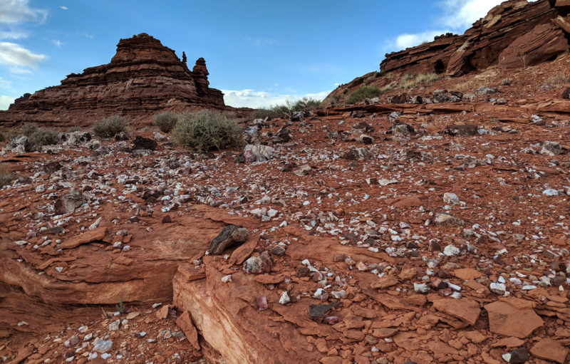
The next 3-mile stretch is really unique. It follows the high ground ridge between a different canyon system on each side. The sense of remoteness is real, and there are cool shards of rock littering the desert ground in various colors, sizes, and types.
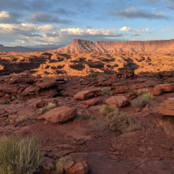
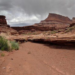
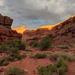
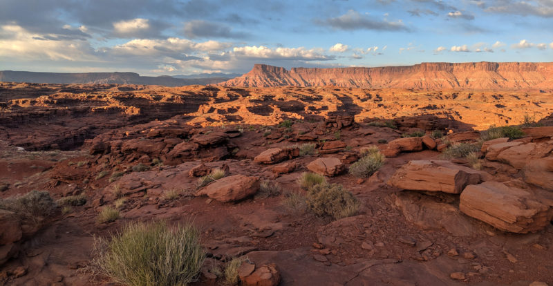
It was a gloomy day, but that kept it from getting too hot. I thought it might rain at one point, but it never did. The sun popped out for a gorgeous scene just as I was getting ready to drop down into Indian Creek Canyon.
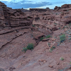
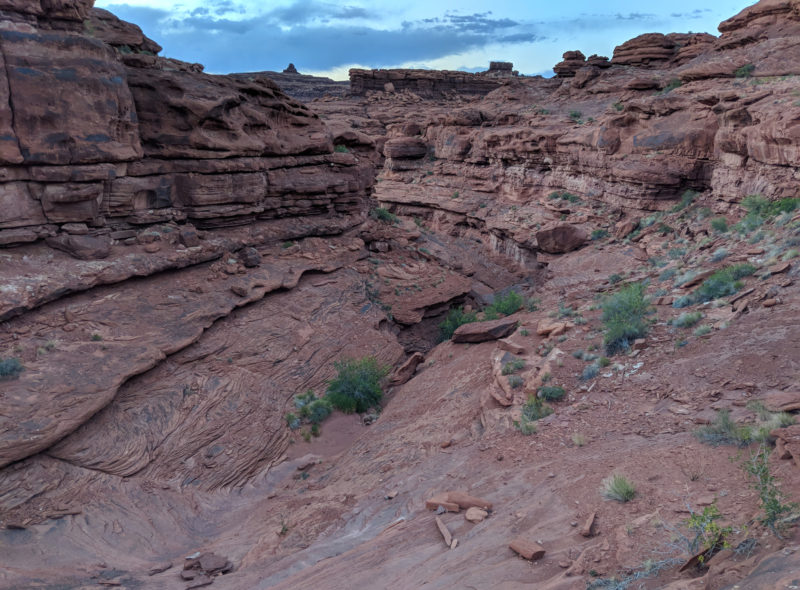
The decent to Indian Creek is always a bit of a route-finding challenge. Like the ascent earlier in the day, I’ve done this section 3 different ways and though it’s gotten easier, I can’t say there’s an “easy” way. This time I went down a main gully hoping to avoid a steep scree descent that I did on a previous trip. Overall it wasn’t bad, though I did have to climb down one ledge via an assist of a small tree that ended up scratching me royally!
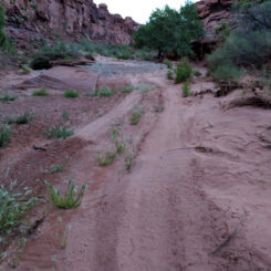
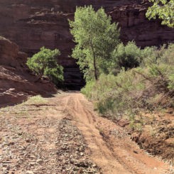
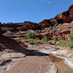
Once down in the bottom I was dismayed to see no running water. Then… I was really aggravated to see a bunch of ATV tracks. The illegal riders seemed to keep to the wash for the most part, but in at least two area they’d created bypasses across banks and through brush to create shortcuts. 🙁
Farther down the canyon I found a few stagnant pools of water. The near full moon was rising and it was getting dark so I found a suitable place to camp for the night.
Day 41
I chose to not fill up via the stagnant ponds and instead continued on down to the junction with Rustler Canyon. Just down from the junction was a fairly large outbreak of water so I filled up there. I should have sampled it based on all the white crust nearby as is often the tell-tale sign for a alkaline water source. And sure enough when I tasted it later it was pretty bad. Chances are the stagnant pools I’d passed in Indian Creek farther up would have been better sources.
I was going to go downstream from here to check out the nearby waterfall, but… with no flowing water in Indian Creek that seemed rather pointless so instead I just headed up Rustler Canyon.
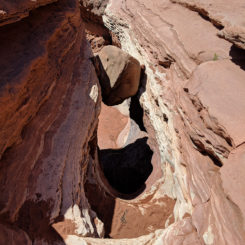
Before too long I was at the dryfall which poses as a minor obstacle. This seemed daunting on my first time here, but now on my third time I knew the drill… up on the right, walk ledge left, then climb right up the chute. Easy peasy! Looking back down at the chute:
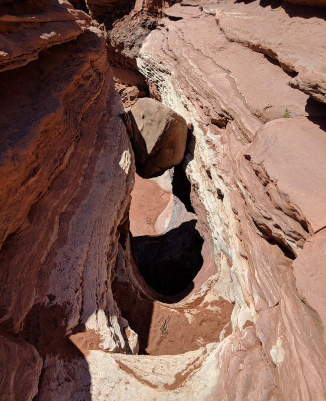
From here the rest of Rustler is fairly uneventful. I made fairly descent time up the wash admiring Needles Overlook towering above in the distance. For a while I could see the sun glimmering off car window-shields up at this popular overlook.
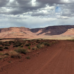
Soon I was out of the canyons and had found my way to the Lockhart Basin Backroad which I followed to the north and then around a bend into Lockhart Basin. Again I was fairly lucky as it was fairly gloomy and cool. I was pushing my luck along as this stretch as it could have been brutally hot this late in spring.
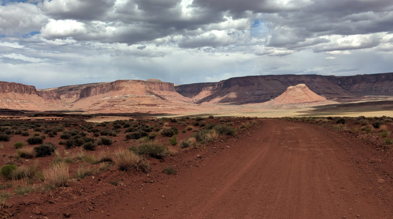
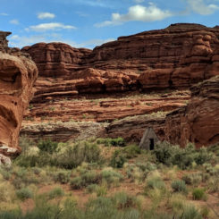
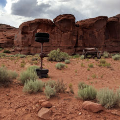
At a junction in the road I turned and followed the Lockhart Canyon spur road down the canyon it’s named after. There’s a lineshack in the upper portion of the canyon near where there’s an outbreak of water in the main wash. I was glad to see water here as by that point I’d realized my water from Indian/Rustler was pretty bad. I took a break and filtered some and… it was worse! 🙁 This was somewhat worrisome as I was headed into the same dry area that I struggled with a lack of water on my 2009 trip.
When I got to the junction with the side canyon where I was to exit Lockhart — I considered instead continuing on down the canyon to the Colorado River just for the water. This would be about 4 miles (roundtrip) out of the way, but it would be a guaranteed water source. Instead, I opted to continue up the side canyon and check out a few possible seeps there. They were dry in 2009, but at least they were not out of my way. If dry… I could always turn around and retreat to the river later if needed. That would likely have to be in the morning though as the sun was already going down as I made my way up the side canyon.
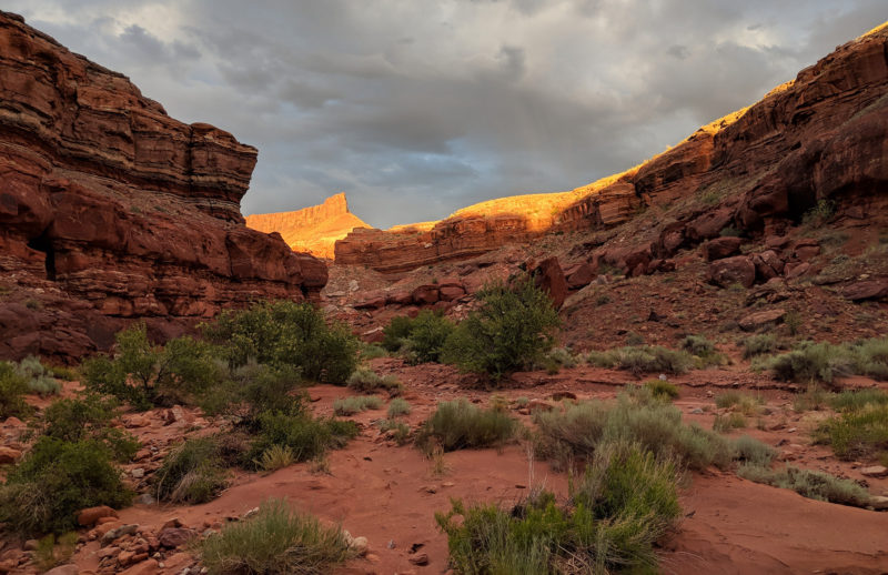
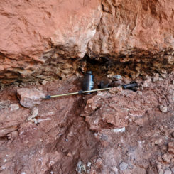
I set up camp at a nice spot and then went out to explore for water. Each locations was up a short distance of two different side gullies. The first one required scrambling over a bunch of boulders. When I got to the top I saw a wet wall. Unfortunately, the small seep was extremely slow and didn’t pool up underneath. I rigged up a water bottle underneath to let it capture the drips.
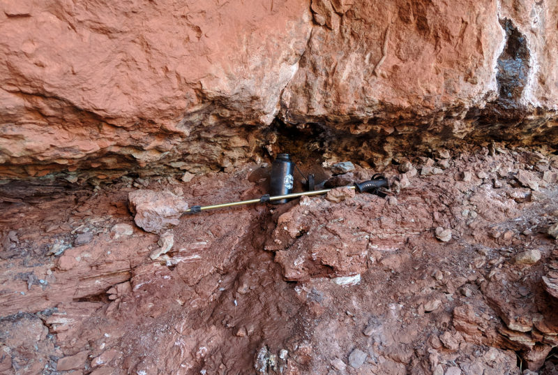
I estimated that it would take about 2 hours to fill my 1 liter bottle. So… I left it and went back down that gully and up the canyon to look for the other seep.
Upon walking up to the other source I noticed several large pools of muddy water below the wall where the seep was located. This was definitely a great sign. When I got to the source itself, I noticed clear water running from a pipe from the ground. I grabbed as much as I could and took it back to camp and called it night.
Day 42
By morning I’d retrieved my water from the dripping wall and ran it through the filter. The water I’d gotten from the pipe was OK, but… far from the best. It still had a bit of a alkaline “twang” to it, but it was definitely drinkable. But, the water I’d gotten from the wall was excellent! Unfortunately there wasn’t time to get more of it, so I filled up with the pipe water and continued on up to the rim of the side canyon.
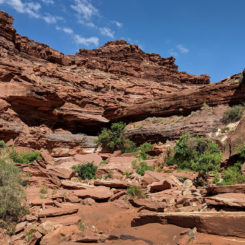
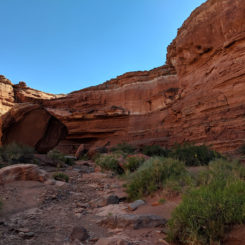
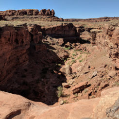
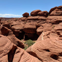
I followed the rim for ways enjoying the frequent views down into Locakhart Canyon below. In hindsight I was glad I didn’t do the diversion to the Colorado. Soon I rounded a bend and made my way into the wash of another side canyon just above a big dryfall. At this spot in the past I’d followed the recommend Hayduke Route up this wash and back to the road. That method went really out of the way though, so I was eager to try something else. I’d seem posts of people following a route by Nicolas Barth’s in a more-direct method scrambling up the sandstone north of the side canyon. I thought I’d give this a try, but… I failed to bring any detailed beta for the route. I really thought it would be obvious from below, but.. that was not the case. I kept walking westward along the bottom looking for a good place to get up and climb to the higher levels — but saw nothing. Eventually after one false start and retreat I went a bit farther west and found a way up. This was definitely not the way I’d seen people write about. My was was longer, but probably still shorter than the official Hayduke. It was a good little scramble with several “Mushroom” hoodoos along the way.
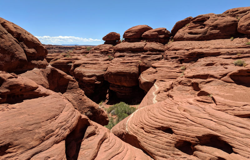
Once atop the steepest sandstone it was just a matter of ascending multiple plateaus and then I was back on the dirt road.
The next several miles were fairly tedious road walking. There really was gorgeous scenery all around, but it just gets a bit monotonous. Only one vehicle came by the entire time I was walking along the road over these few days and unfortunately I was off the road taking a break so they didn’t even see me (ie thus no offer of water/snacks! 🙂 )
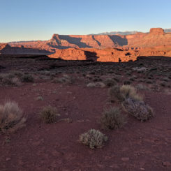
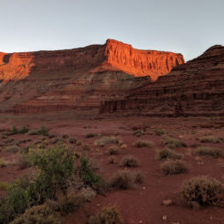
With the sun going down it lit up canyon country in that great hue of magic hour:
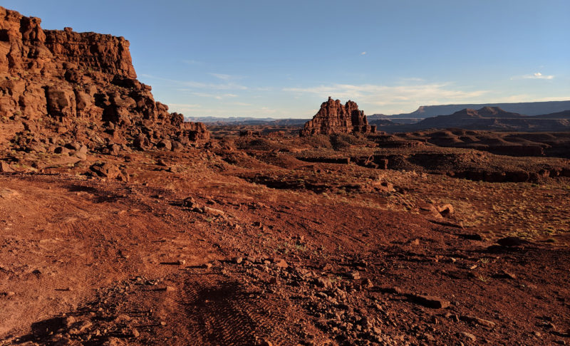
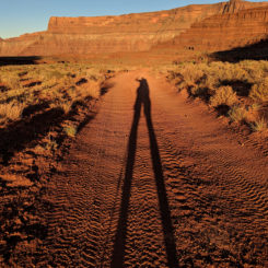
As I rounded a major corner I could finally see to the east for the first time. The La Sal Mountains were poking out above the canyon rims ahead and I knew now I wasn’t too far from my ultimate destination of Arches National Park. And… my buddy who makes frequent appearances in my videos was there as well… Mr. Shadow!
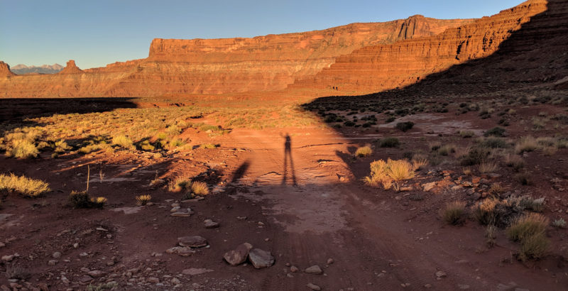
I walked a bit farther and past the rock formation known locally as “Punch and Judy” and then decided to call it a night.
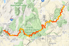
In my tent that night I studied my maps trying to decide which path I’d take for my final leg to Moab and beyond, but… that’ll have to wait for Part 14: Final Stretch to Arches.
Photo Gallery:
- Needles Outpost
- slickrock saddle NW of Needles Outpost
- “Oompa Loompa” Ridge
- looking north along “Oompa Loompa” Ridge
- looking south from “Oompa Loompa” Ridge
- water tank near diversion to The Loop
- looking back over “We-Hope-So Wash”
- along the high ridge
- along the high ridge
- cool rocks
- looking toward Indian Creek Canyon
- descending to Indian Creek
- illegal ATV track in Indian Creek
- illegal ATV track in Indian Creek
- near junction of Indian Creek and Rustler Canyons
- the dryfall in Rustler Canyon
- looking down the chute of the dryfall
- upper Rustler Canyon
- along Lockhart Backroad
- looking toward Lockhart Basin
- lineshack in upper Lockhart Canyon
- interesting wreckage in Lockhart Canyon
- side canyon exit to Lockhart Canyon
- the slow seep
- old waterworks near second seep
- second seep via pipe
- side canyon
- looking back down into Lockhart Canyon
- “Mushroom” route
- taking a break under a hoodoo
- sun going down
- looking east toward La Sals
- Mr. Shadow
- sunset along Lockhart Backroad
- Punch and Judy


