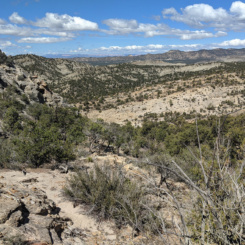
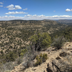
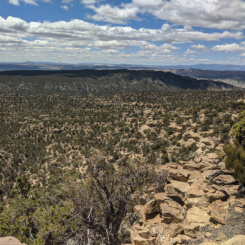
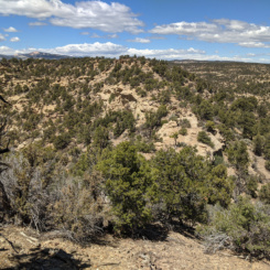
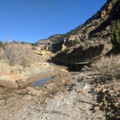
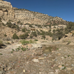
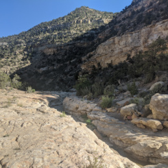
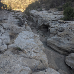
Below is the Daily Journal for this segment of the hike. Alternatively click any thumbnail to jump to:
(previous: Bull Valley Gorge & The Upper Paria || next: The Canyons of the Escalante)
Part 3: Round Valley Draw and the Kaiparowits Plateau
April 26, 2021
Day 7
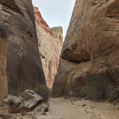
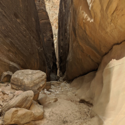
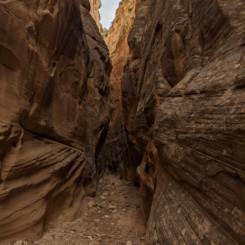
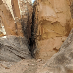
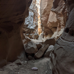
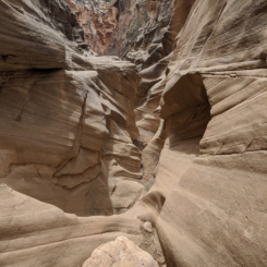
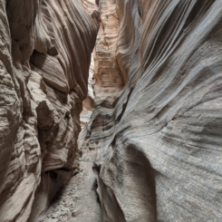
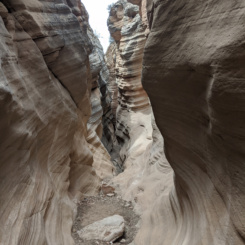
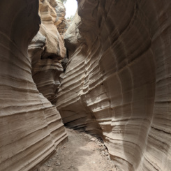
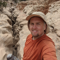
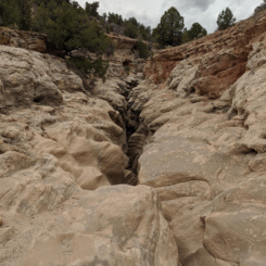
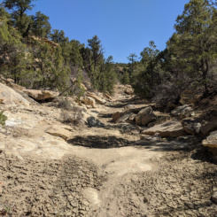
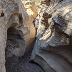
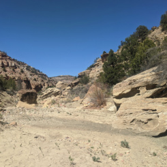
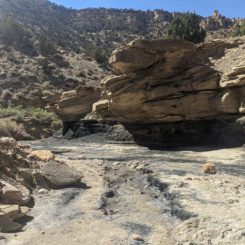
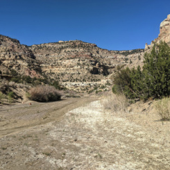
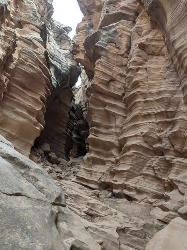
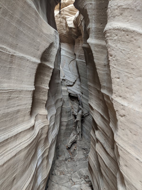
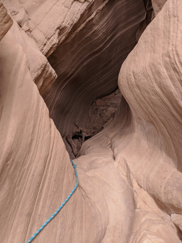
Woke and to another windy day as I continued my way up Hackberry Canyon. Soon the walls closed in though and before long I was in the incredible slot of Round Valley Draw.
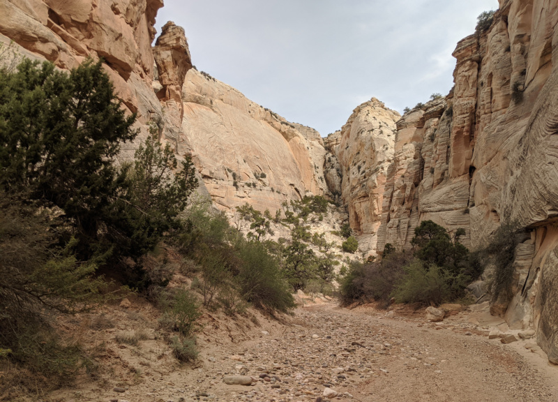
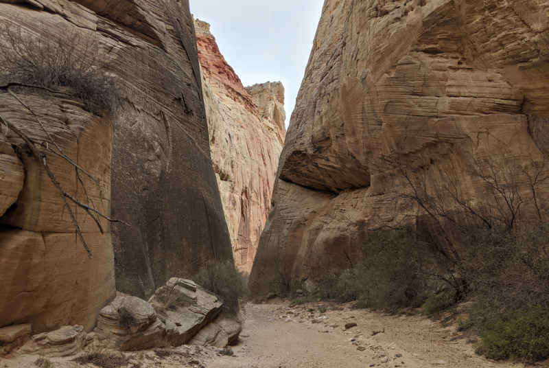
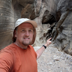
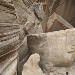
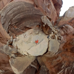
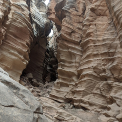
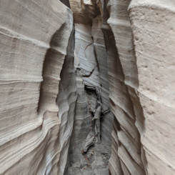
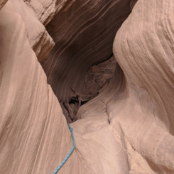
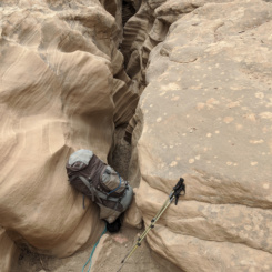
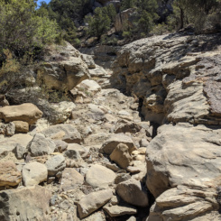
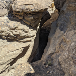
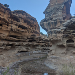
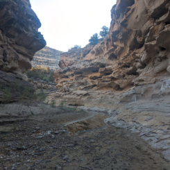
This really is one of the better slot canyons in Utah. There are a few fairly narrow sections interspersed with some more wide-open sections and some cool “ribbed” geology in the upper end. The canyon has enough small climbs to make it interesting, but no major obstacles. Well… the final climb out is a fairly daunting task and I know several hikers who have been too intimidated to descend the route. I’ve only gone UP then canyon and I was lucky that there was a good log to provide an assist each time for the final climb. There is a bypass via a gulch on the north side of the canyon below the narrows for those looking for an easier route.
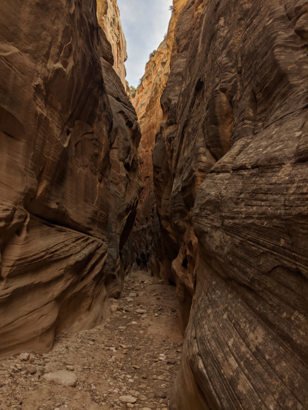
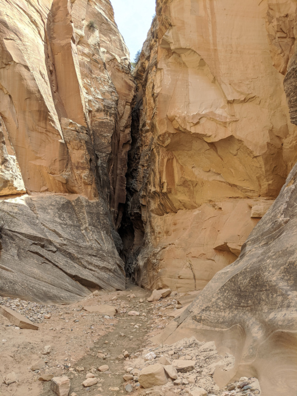
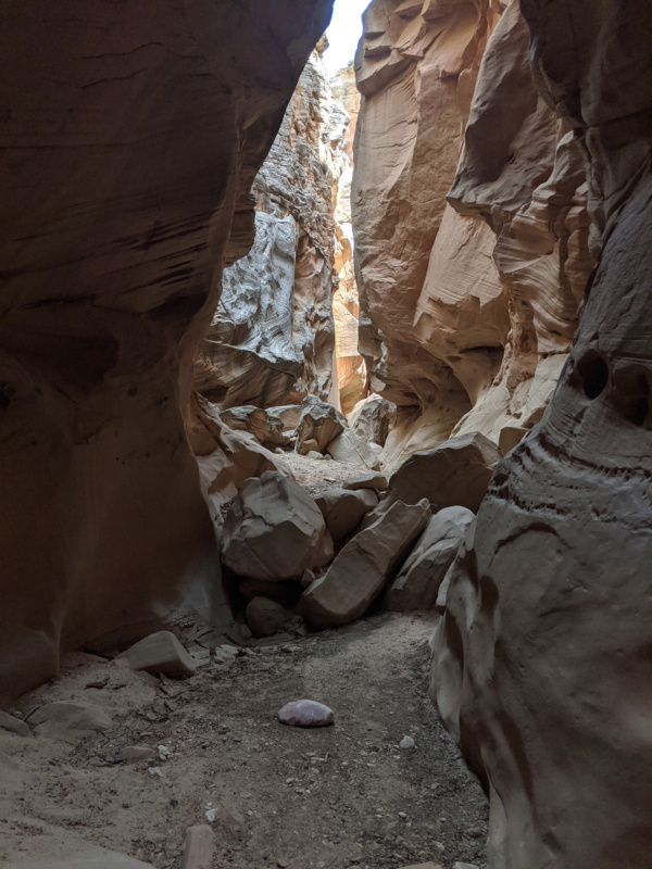
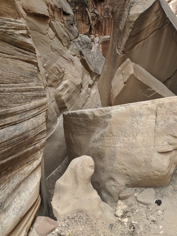
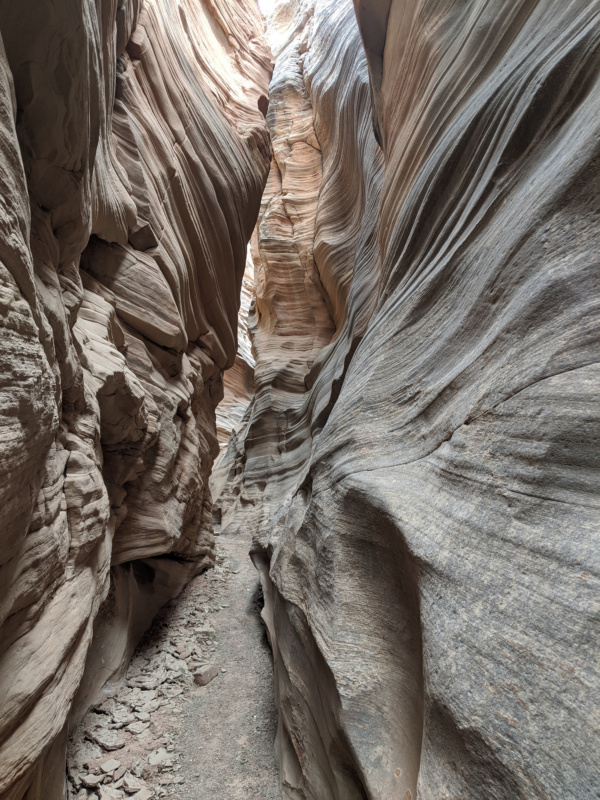
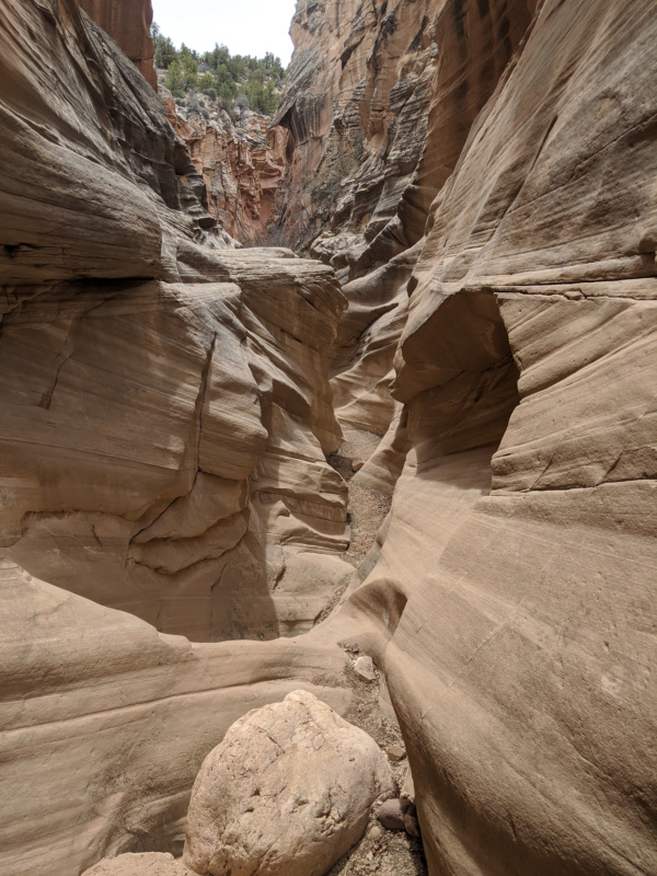
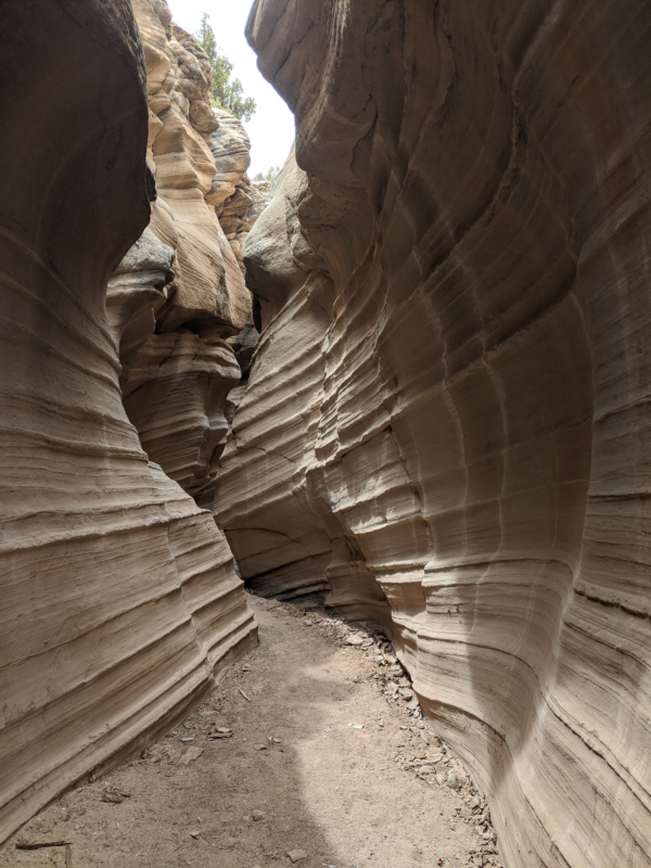
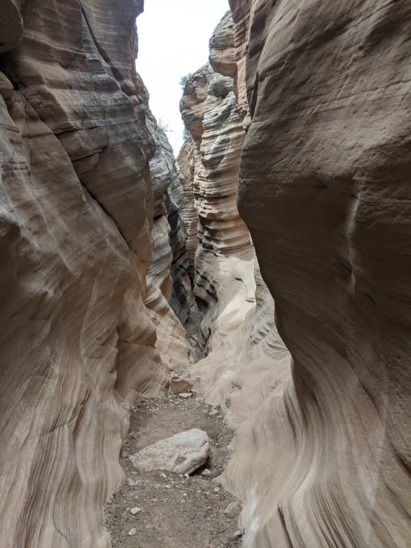
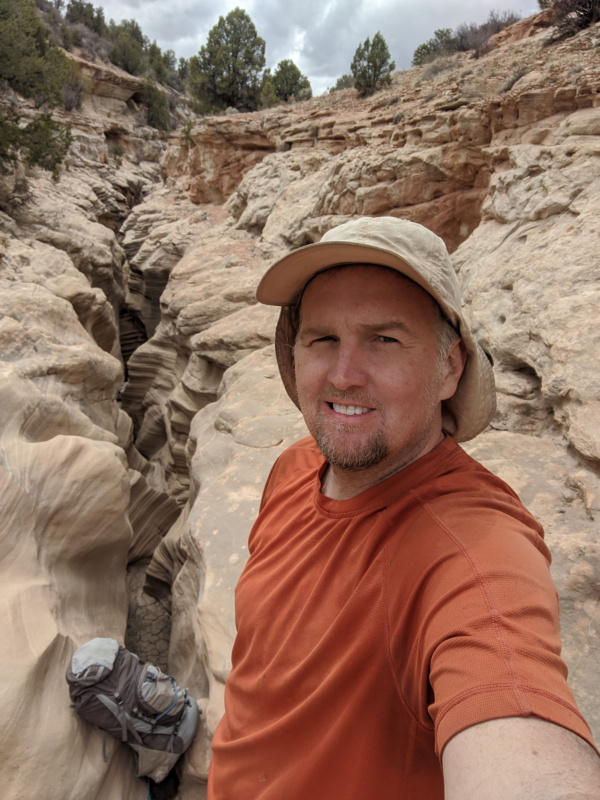
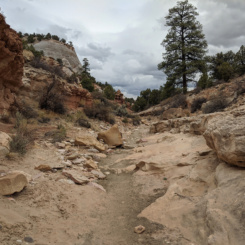
Once out of the slot I saw the sky ahead and was glad I was out of the canyon!
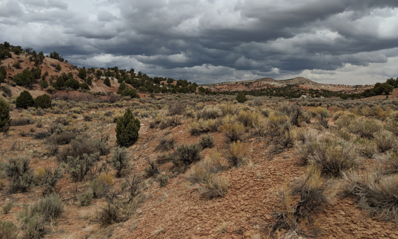
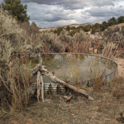
From there I made quick work up the wash to the road and trailhead. There was one truck parked at the trailhead, but I hadn’t seen anyone else in the canyon. I walked down the road for a quarter of mile to the Round Valley Seep area where there is a known waterworks system that I was happy to see full.
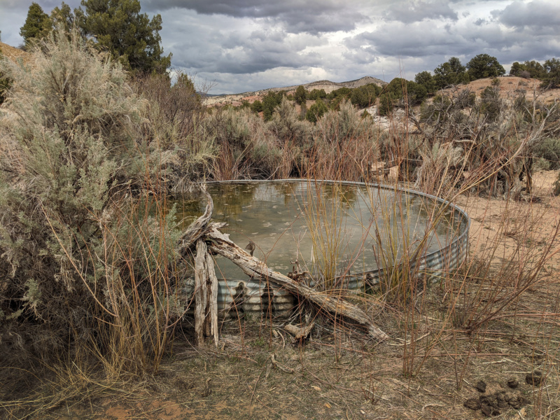
Round Valley Seep
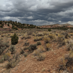
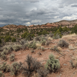
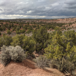
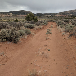
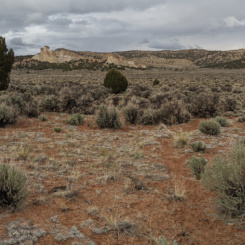
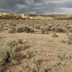
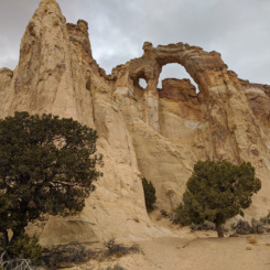
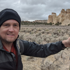
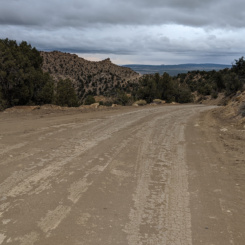
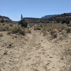
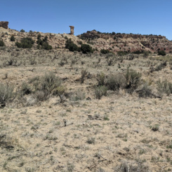
After filling up and taking a short snack break, I backtracked to the trailhead and then headed out cross-country to the east toward Grosvenor Arch. The route through the rolling hills wasn’t too bad, though going up and down through the spiderweb of drainages was tedious at times. Over the saddle and following the winding wash to the southeast I was surprised to intersect a dirt road not on my maps. It seemed headed the direction I wanted to go so I followed it and found it much faster than the windy/brushy wash I’d been following. Soon I was to Cottonwood Road. Still full on water I opted to skip the solar well in the area and just crossed the road and headed cross-country again toward Grosvenor Arch. Soon I was back on another road as it approached the arch.
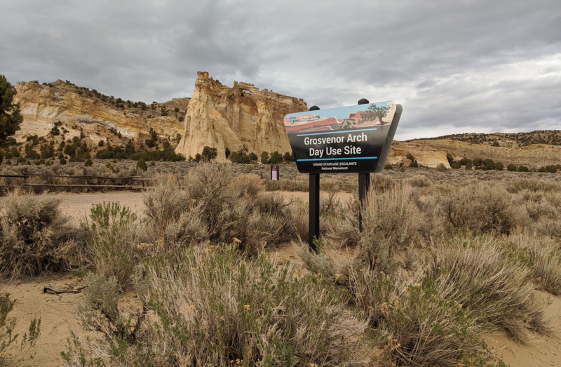
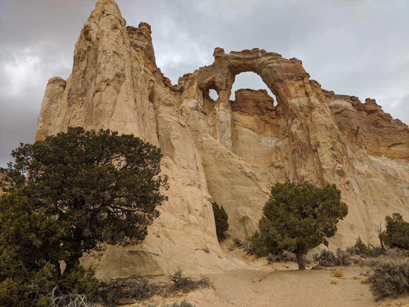
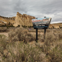
I retrieved a small cache I had in the area and made use of the trash cans at the picnic area. By this time it was late afternoon, but it seemed much later as the sky was socked in with dark gray clouds. I had to get out the puffy jacket as the temperature had dropped considerably from earlier in the day. I’d originally planned on camping in this general area (but a night earlier!) With a few hours left of daylight I followed the road east and through an area known as The Gut and toward the Kaiparowits Plateau.
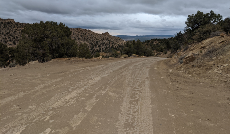
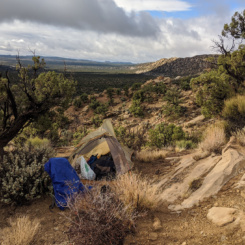
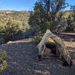
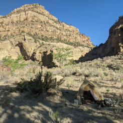
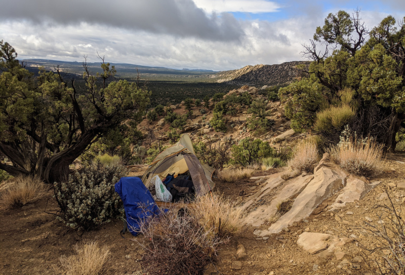
As I was rounding the corner at the top of the hill I had good views south down the Cockscomb and to the east toward the Wahweap drainage. I also had a view of the darks clouds that were overtaking me from the west and it actually began to sprinkle. I ditched off the road and found a relevantly flat spot to call it a day and pitch my tent. I quickly set it up to get my gear inside before anything got too wet.
Day 8
It was long, cold, and rainy night. I didn’t expect it to rain nearly as much as it did. In my haste to set up my tent the night before I didn’t stake out the rain fly nearly as good as I should have which led to a lot of water seepage into my tent and a lot of wet gear by morning. Luckily when I got up the sun was shining so I tried to air everything out and get it dry as dry as possible before packing everything up.
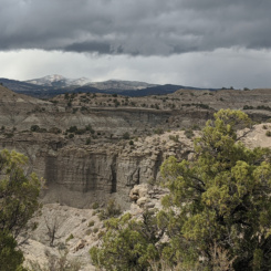
Back on the road and headed east I descended toward Wahweap Wash and was impressed by all the snow in the hills on the distance — the direction I was headed. As chilly as it was I didn’t expect it to melt off.
I left the road and headed up Wahweap headed toward Headquarters Spring. The weather was weird — it would be sunny for 5-10 minutes and then clouds would move in and a hailstorm would break out nearly covering the ground! This cycle repeated itself for a few hours. With a good flows in Wahweap I decided to fill up and head east without making it all the way up to HQ Spring.
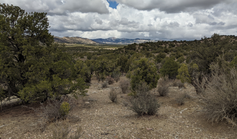
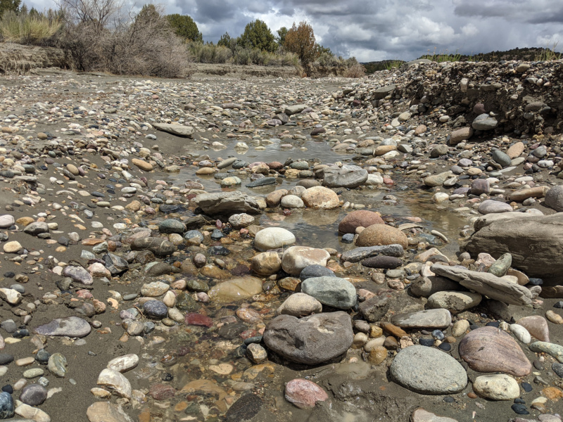
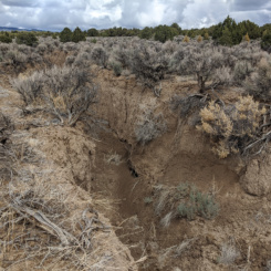
Crossing the plain to the east at this point looked much easier on the topo map. Overall I think it was the right choice, but I did intersect a few crazy “cracks” where erosion had cut steep-sided drainages through the sagebrush fields. Each of these cracks required some patience to get around as they were too steep/deep to cross directly.
Soon I was over to Blue Wash and then spotted an Jeep/ATV route heading up toward Paradise Peak (aka Horse Mountain). I followed this route up as it climbed the slopes. Soon the route fizzled out on a bench and I continued cross-country up toward the summit. On the way up I began getting pelted with little balls of snow. I’ve only experienced this once or twice before, but it’s a phenomenon called “graupel” and is distinct from hail. Pretty cool (literally!)
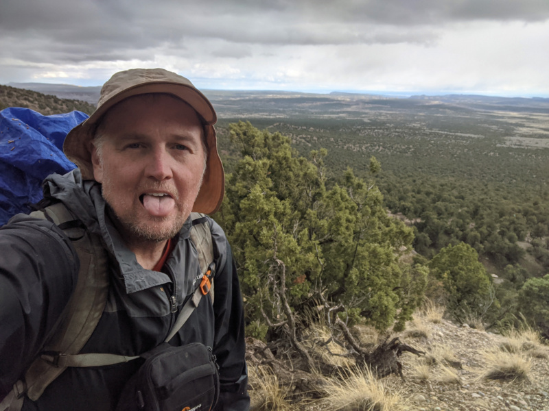
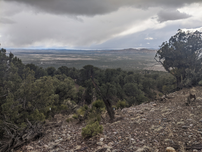
After a bit more climbing I was at the summit and enjoying views back west toward Mollies Nipple and north to a snowy Canaan Peak.
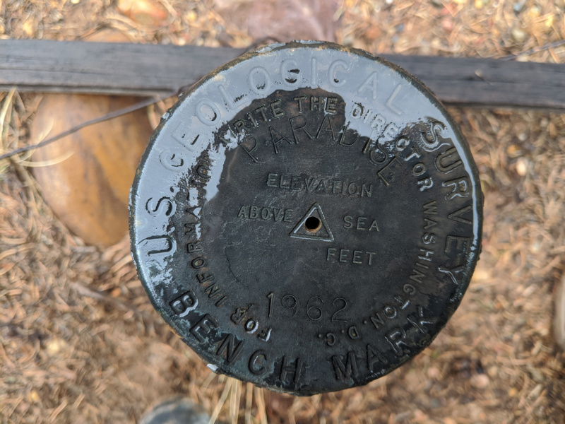
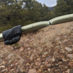
Headed west my next goal was to get over down into upper Paradise Wash drainage and then climb up to the ridge that separates it from Escalante Canyon (not to be confused by the canyon with the same name over by the town.) This was tough country to walk through as it was very brushy and the drainages were steep and never seemed to run the direction I wanted to travel. Getting up form a short break a bad thing happened… my trekking pole bent in half! Trying to bend it back… it snapped. 🙁
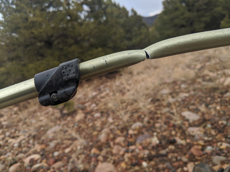
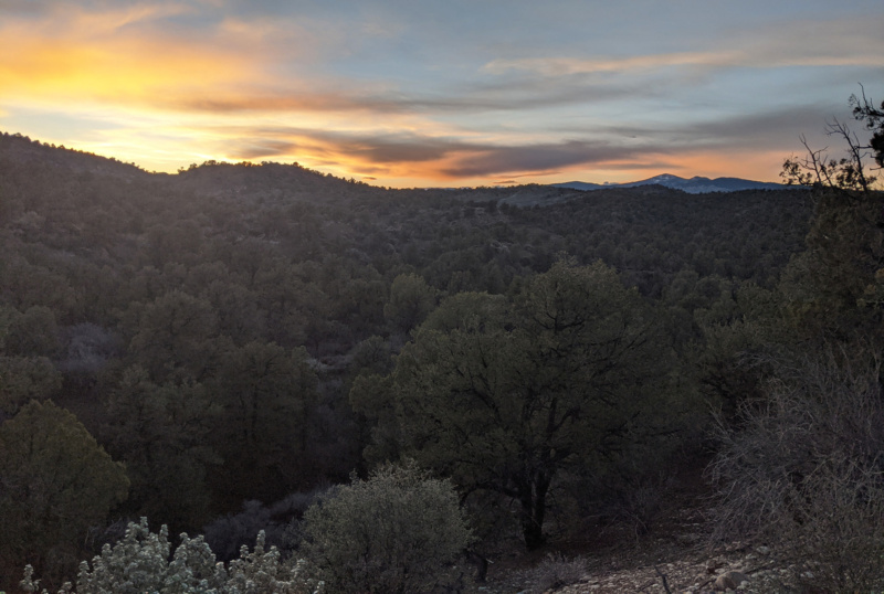
This was disheartening as I knew travel was going to be 10x harder without a good set of trekking poles. I made my way down toward the bottom of the canyon and was happy to see the weather seemed to be clearing up. It was pretty late in the day by this point so I decided to quit hiking, make camp, and investigate any possible MacGyver-esque solution for the broken pole.
Day 9
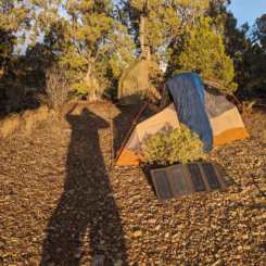
Happy to wake up to a nice sunny day. I once again got up and spread out my gear to dry as some of it was still wet from the day before. I also used the opportunity to charge my batteries via solar panel as I continued to seek out a solution for my trekking pole. BUT…after a few attempts with duct take and sticks, I resigned to the fact that there was no viable solution and I’d just have to make do with a single pole.
I crossed the dry upper Paradise Wash and continued cross-country climb of the ridge to the east. The climb wasn’t overly hard — but definitely made more difficult with just one pole (I use my poles a lot as I climb/descend routes.) Behind me were nice views all the way back to Bryce Canyon.
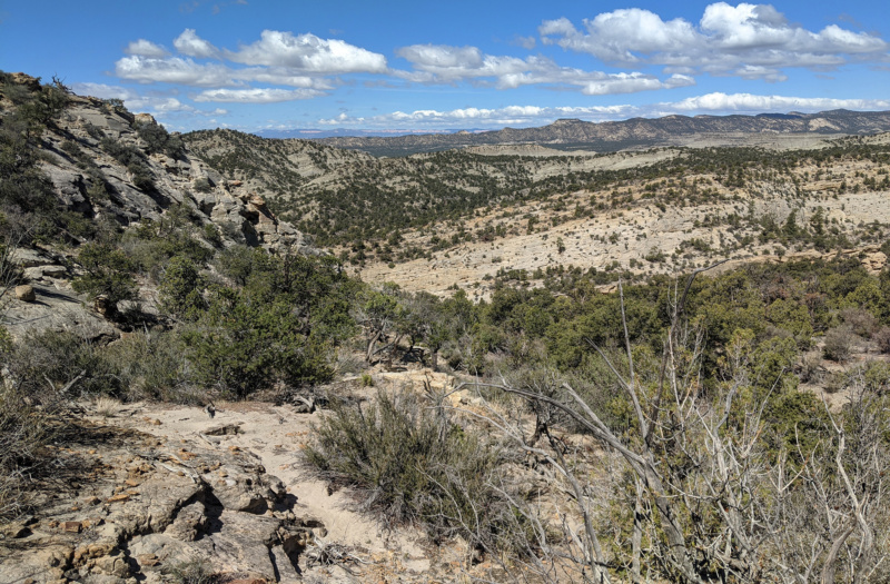
In finally got to the top of the ridge, but instead of dropping down into Escalante Canyon, my plan was to follow the ridge to the south. I love waling ridges and had scouted this one via Google Earth. It was a bit more brushy than I’d imagined, but all-in-all it didn’t disappoint. The ridge was slightly higher than anticipated and provided good views in every direction — even, surprisingly, over the rest of the Kaiparowits and to the Henry Mountains.
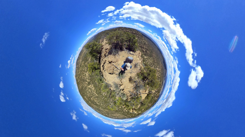
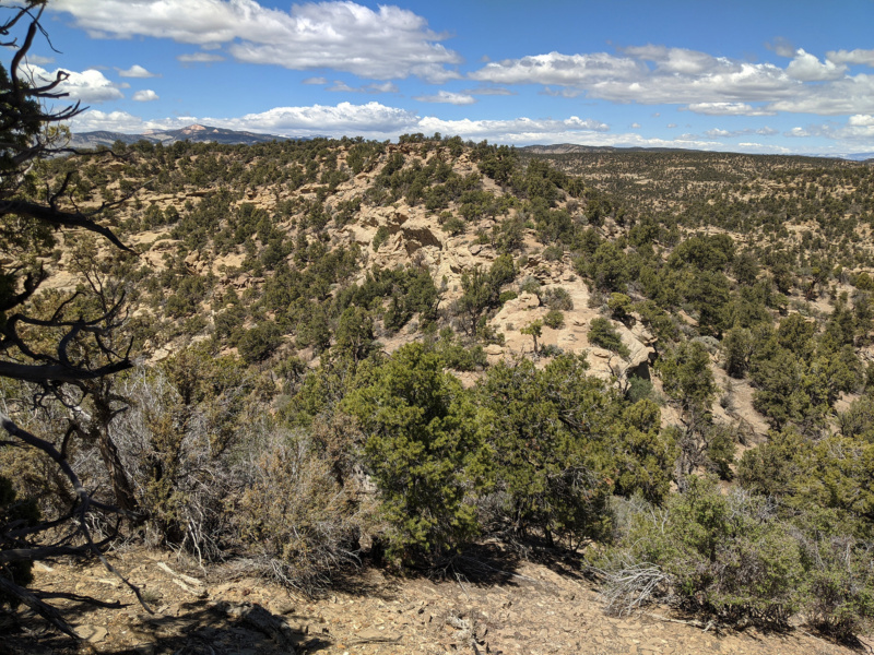
After following the ridge for an hour or two I decided it was time to drop down into the canyon. It looked feasible in this area and the topo seemed to indicate that it could be tougher farther ahead so I thought I’d better take my chances now.
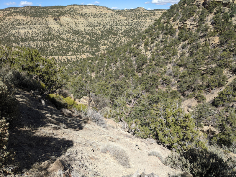
It was brushy and steep and there were a few cliffbands I had to bypass. Nothing was treacherous, but it was a royal pain and tedious to make the descent. About half way down I was so infuriated by the route that I had to just sit down for a while and take a “time out”. Then, a got back at it and within 20 minutes more so so I was down in the bottom of the dry wash. From there travel down canyon was MUCH faster.
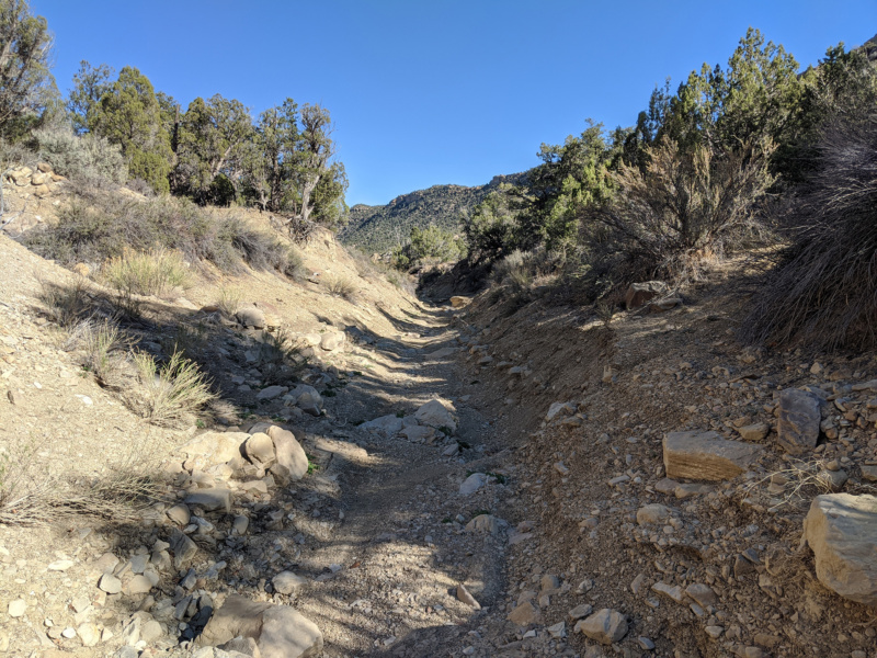
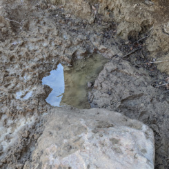
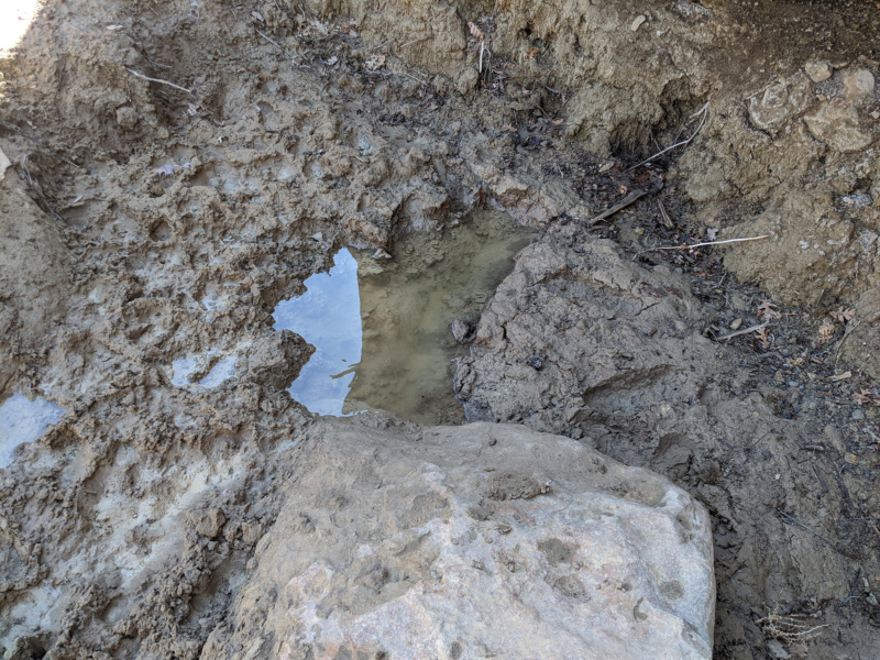
About an hour so of walking down Escalante Canyon I came to the side canyon which I would use to exit. Maps show an old 4×4 route here, but I didn’t see any signs of it intersecting the canyon. But, a little farther up I spotted the faint old track. I’d lose it again as it criss-crossed the side drainage. Along the way I was happy to find one small pothole of water in the streambed. It looked pretty nasty, but I grabbed a few liters just in case as I was starting to run low and I wasn’t sure if I’d make it to my next source before camping for the night (or if THAT source was reliable as it’s only rated as a “seep”.) Continuing up the canyon I found the old road again and from then on up it became more defined which made for faster travel.

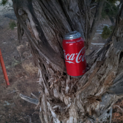
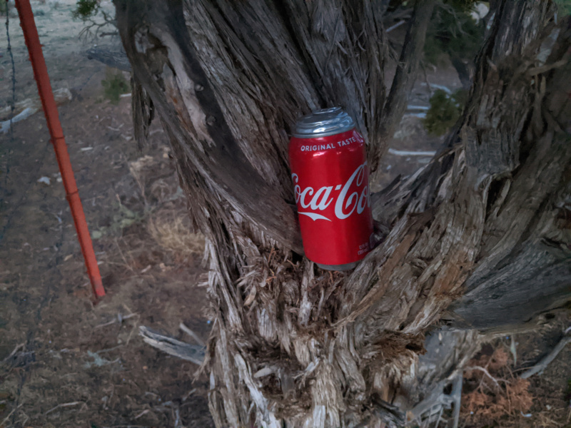
I continued up and out of the side canyon as the sun was going down. At this point I didn’t think I was going to make it to the seep by nightfall so I was beginning to worry some about water and began rationing what I had to drink. Then as I climbed the final pitch out of the canyon and attained the flatland beyond I crossed a fence into a pasture area and to my huge surprise… I saw an unopened can of Coke ahead of me! Such a random place to find this and my only guess is that it had to have fallen from someone on horseback. My guess is that it had been out there for a while as the can had ballooned out to the point I was surprised it hadn’t exploded. Running low on water I popped the top and drank a third of the can immediately. It was 100% flat, but it still tasted great especially after I’d been rationing my water. I think the caffeine was still good too as I got a boost and energy and hiked for another few miles even though the sun was down by this time.
After setting up camp I set out with my headlamp to find the seep which was still another 1/4 mile or so away. It was a trippy experience wandering around in dark of night with only the slight illumination of my headlamp. I finally found the seep under an overhang in the wash. I was very happy to see that there was indeed water there — even though there wasn’t much and it looked pretty trampled by cows. At least knowing it was wet allowed me to sleep a bit easier that night and I’d return to size it up better in the morning.
Day 10
Packed up and headed out back down the wash and got some more water from Relishen Seep. Despite its poor appearance, it actually tasted OK after being run through the filter.
I’d just crossed Smoky Mountain Road and now was walking down Long Canyon en route to Right Hand Collet Canyon. I knew very little about this canyon, but based on my Google Earth scouting before my trip it looked like it should be feasible to descend.
After only about 15 minutes of walking the canyon I came to a short drop where the canyon began to slot up. I had to take off my pack, but I was able to chimney down without too much effort. However about 5 more minutes down the canyon I came to a much larger drop of about 20′ and this time there would be no climbing down. The canyon was somewhat entrenched by this point so there was no immediate bypass. I’d have to retreat and find a way around this portion of the canyon via the steep/brushy slopes. It took a while and was frustrating at times, but within 20 minutes of so I was back down in the bottom of the canyon.
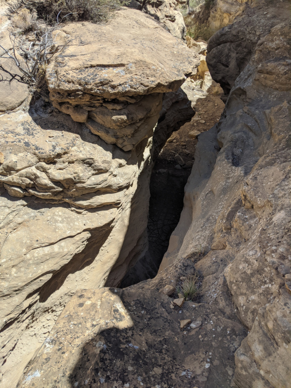
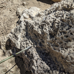
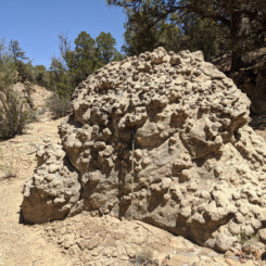
Continuing down canyon there were several boulders to scramble around/down, but no more real obstacles. There was some cool geology along the way as well — large boulders with concretions of some sort.
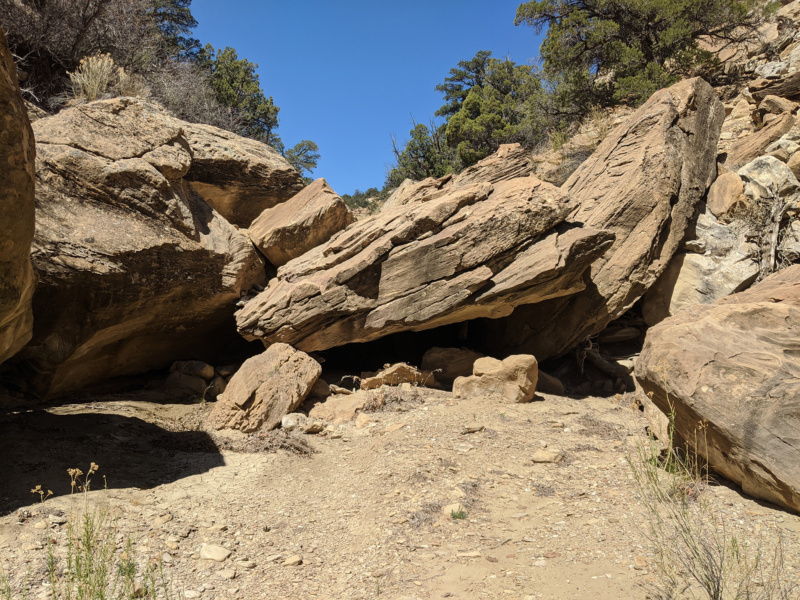
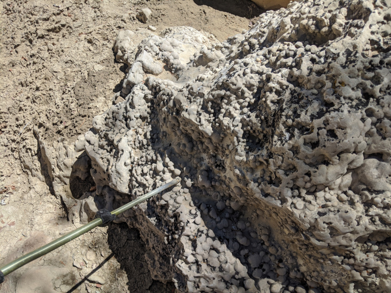
Soon I was past the boulders and the canyon widened up. From there walking down canyon became much easier and in about 3 miles I was at the junction of Right Hand Collet Canyon. I’d hiked the length of this canyon back in 2012 (Bryce to Little Death Hollow Hike) so I knew there shouldn’t be any big surprises ahead. There wasn’t as much water as on my previous hike, but soon there was a small trickle of water so I knew water shouldn’t be a concern. By the time I reached the junction with Sarah Anne Canyon there was consistent small flow.
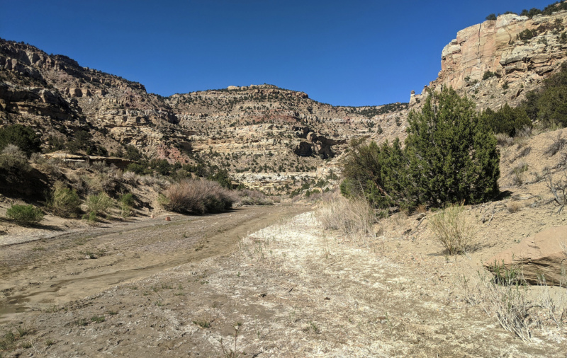
I’d seen the typical signs of cows for much of the past week, but… I realized at this moment that I had not actually seen even a single living cow thus far on the hike. This was really amazing for this part of Utah.
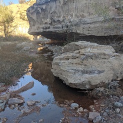
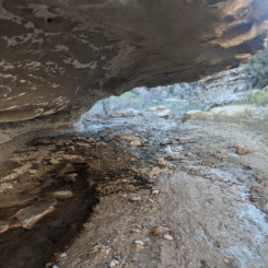
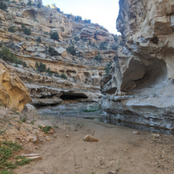
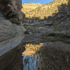
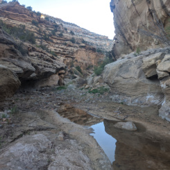
Continuing down canyon there was more interesting geology to see. The stream soon cuts through some coal beds and colorful stones fill the wash. A bit farther down the stream cuts though bedrock and forms a shallow slot canyon with some cool overhangs in a few places. A little farther down the canyon gets a bit more walled in and there are a few deeper pools. This is a really nice section of canyon — not amazing, but just nice.
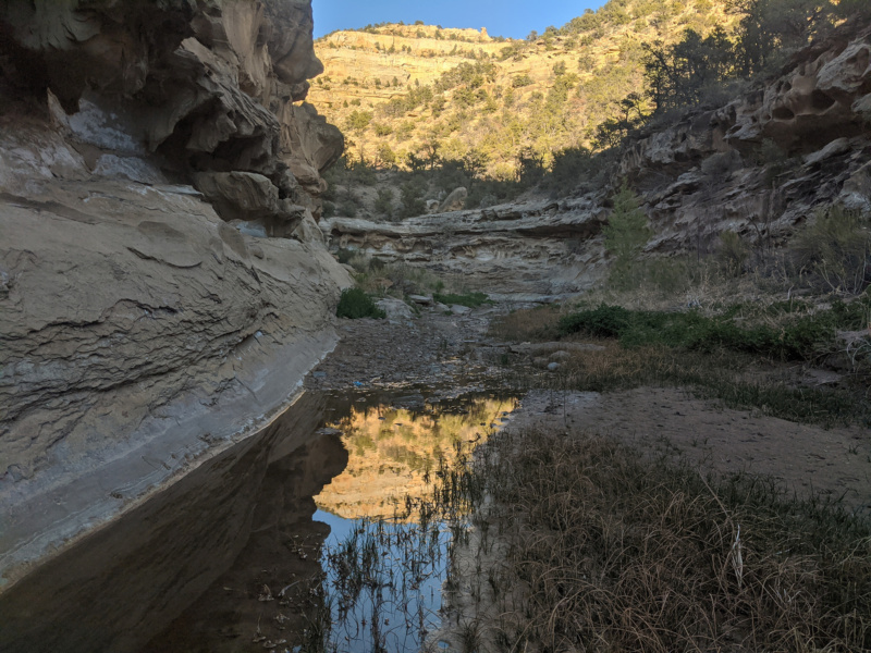
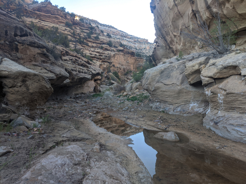
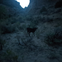
As I got to the junction of Carcass Canyon I decided to camp for the night. It was there that I finally spotted a few cows on the bench nearby. Then, as I was setting up my tent, a small calf wandered up to my site and began mooing. I’d never experienced anything like this — the cattle, especially the small ones, are usually quite afraid in my presence. But this one definitely wanted my attention and seems like he was looking for a handout. It was kinda sad as the thing looked so skinny.
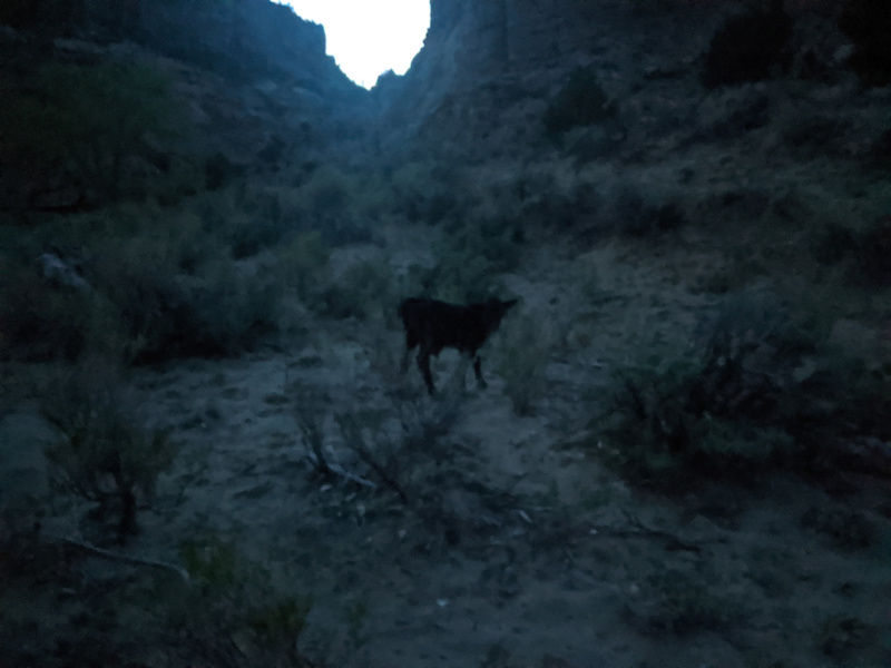
He hung around for about 5 minutes and then wandered off and laid down my a nearby tree.
Day 11
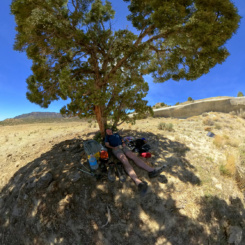
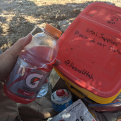
Woke to a sunny day and the calf was nowhere to be seen when I packed up and headed down canyon. The canyon really widens up in this area and I saw more and more cows as I headed down the wash cutting many of the big bends as I headed east. Soon there was little-to-no shade to be found, but luckily it wasn’t that hot out. Within a few hours I was at the Dinosaur Tracks site where Left Hand and Right Hand Collet Canyons come together. It was near here I’d set out my first “Big Cache” so I tracked down the designated tree and retrieved my goodies. I moved it all to a move comfortable tree and began to sort through the stash to decide what I wanted to eat at that moment and what I’d take with me. Since this cache was in a bucket, I’d have to come back for it after my hike. This allowed me to leave a lot of stuff behind that I didn’t need. I had a nice big lunch and enjoyed the mid-day break.
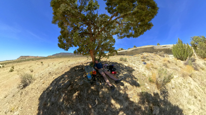
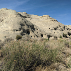
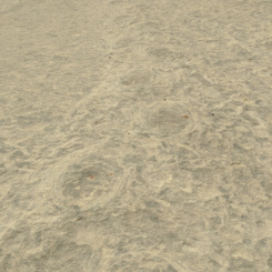
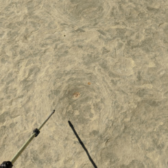
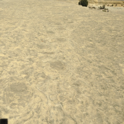
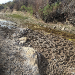
After re-packing my pack and re-stashing my cache — I headed out. Even though I was behind schedule I took a moment to climb the interesting white rocks and seek out the dinosaur tracks (for some reason I’d never done this on all my previous visits to the area.) The info kiosk said there were hundreds of tracks to be seen, but… when I got up on top I saw none! Then… upon closer inspection I saw the tracks — circular patterns of a slightly different color evidently where the dinos had made impressions in mud. They were cool to see, but not nearly as impressive as other tracks I’ve seen in Utah where there’s actually an indentation and you can see toe prints (eg Horseshoe Canyon or Zion Subway).
I continued east down the ever-widening wash. I ran into a large herd of cattle as I neared Hole-in-the-Rock Road. I crawled under a barbed-wire fence to get around them without driving them down the wash and across the road.
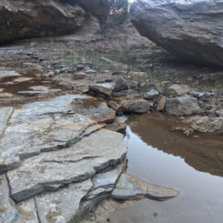
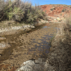
Once past the road I got back in the wash which once again has water thanks to a nearby spring. Unfortunately the cattle have really mucked the place up so I don’t think one could rely on the water here unless desperate.
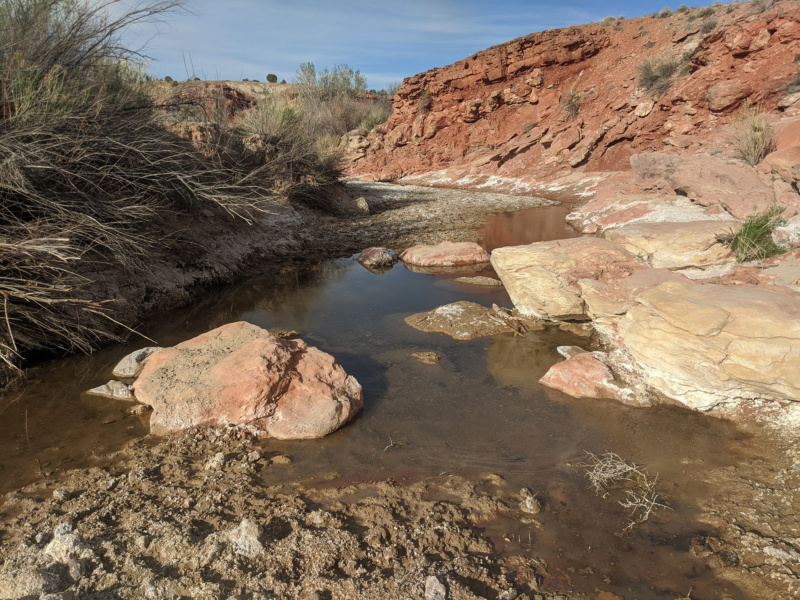
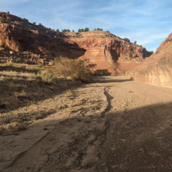
A bit farther down the wash dries up again and begins to cut through some slickrock. There were several cattle fences to pass and once again some of the larger bends could be shortened by following cattle trails.
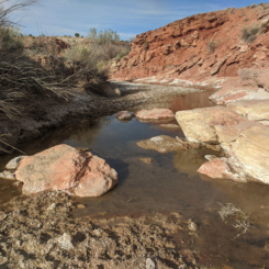
Soon I came to another outbreak of water. It too was pretty trampled by cattle, but I found a semi-clean spot that I was able to pull some water for filtering. With the sun sinking behind the horizon I decided to set up camp nearby and call it a day.
Check out the full photo gallery below or continue reading the next section… Canyons of the Escalante.
Photo Gallery:
- upper Hackberry
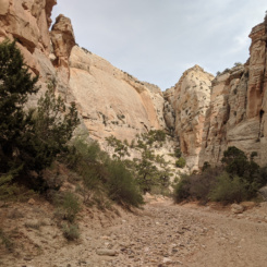
- Lower Round Valley Draw
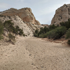
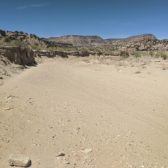
- sandy upper Hackberry
- entering the slot canyon
- entering the slot canyon
- Round Valley Draw
- Round Valley Draw
- Round Valley Draw
- Round Valley Draw
- climbing boulders
- Round Valley Draw
- Round Valley Draw
- Round Valley Draw
- interesting geology in Round Valley Draw
- upper Round Valley Draw
- upper Round Valley Draw
- the top of Round Valley Draw
- the top of Round Valley Draw
- above Round Valley Draw Slot
- above Round Valley Draw Slot
- above Round Valley Draw Slot
- wash above above Round Valley Draw Slot
- above Round Valley Draw
- Round Valley Seep
- cross-country travel toward Grosvenor
- cross-country travel toward Grosvenor
- headed toward Grosvenor
- headed toward Grosvenor
- headed toward Grosvenor
- Grosvenor Arch
- cache intact
- Grosvenor Arch
- heading out from Grosvenor Arch
- road walking toward The Gut
- camp
- looking toward Canaan Peak
- Wahweap Wash and snow Canaan Peak
- Wahweap Wash
- The large “cracks” which made travel difficult
- snow clouds moving in
- antique trash along the way
- climbing toward Paradise Peak
- climbing toward Paradise Peak
- climbing toward Paradise Peak
- Paradise Peak
- Paradise Peak
- Paradise Peak
- Paradise Peak
- a very bad thing
- camp
- sundown
- camp
- upper Paradise Wash
- climbing up out of Paradise drainage
- looking back to Bryce Canyon
- above Escalante Canyon
- 360-shot of Escalante Ridge
- Paradise Peak
- Paradise Peak
- Paradise Peak
- down in Escalante Canyon
- interesting hoodoos
- headed down Escalante Canyon
- about to exit Escalante Canyon
- side canyon exit
- what a find!
- Relishen Seep
- headed down Long Canyon
- headed down Long Canyon
- minor slot in Long Canyon
- impassable dryfall in Long Canyon
- bypassing the dryfall
- back into wash of Long Canyon
- interesting geology in Long Canyon
- interesting geology in Long Canyon
- lower Long Canyon
- finally to Right Hand Collet Canyon
- coal beds in Right Hand Collet Canyon
- Right Hand Collet Canyon near Sarah Anne Canyon
- near Sarah Anne Canyon junction
- lower Right Hand Collet Canyon
- lower Right Hand Collet Canyon
- lower Right Hand Collet Canyon
- lower Right Hand Collet Canyon
- lower Right Hand Collet Canyon
- lower Right Hand Collet Canyon
- lower Right Hand Collet Canyon
- lower Right Hand Collet Canyon
- lower Right Hand Collet Canyon
- lower Right Hand Collet Canyon
- lower Right Hand Collet Canyon
- lower Right Hand Collet Canyon
- lower Right Hand Collet Canyon
- lower Right Hand Collet Canyon
- lower Right Hand Collet Canyon
- lower Right Hand Collet Canyon
- lower Right Hand Collet Canyon
- lower Right Hand Collet Canyon
- lower Right Hand Collet Canyon
- the stay calf
- junction with Carcass Canyon
- very lower Right Hand Collet Canyon
- very lower Right Hand Collet Canyon
- very lower Right Hand Collet Canyon
- my cache near the Dinosaur Tracks Site
- my cache near the Dinosaur Tracks Site
- Dinosaur Tracks Site
- Dinosaur Tracks Site
- Dinosaur Tracks Site
- Dinosaur Tracks Site
- Twentymile Wash
- Twentymile Wash
- Twentymile Wash
- Twentymile Wash
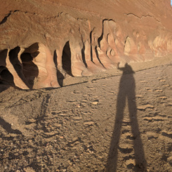
- Mr. Shadow in Twentymile Wash
- Twentymile Wash
- Twentymile Wash


