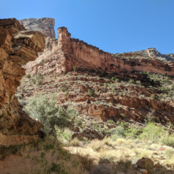
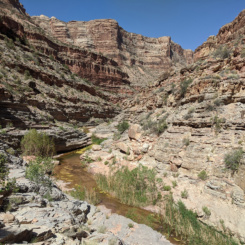
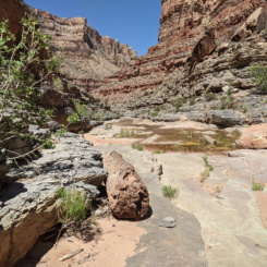
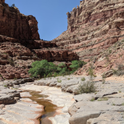
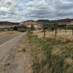
Below is the Daily Journal for this segment of the hike. Alternatively click any thumbnail to jump to:
(previous: Into the Grand Gulch || next TBD! )
Part 9: Beyond the Bears Ears…
May 18, 2021
Day 28
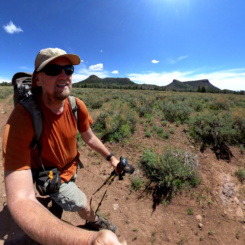
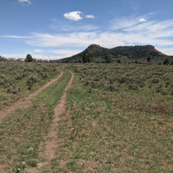
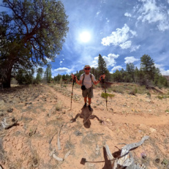
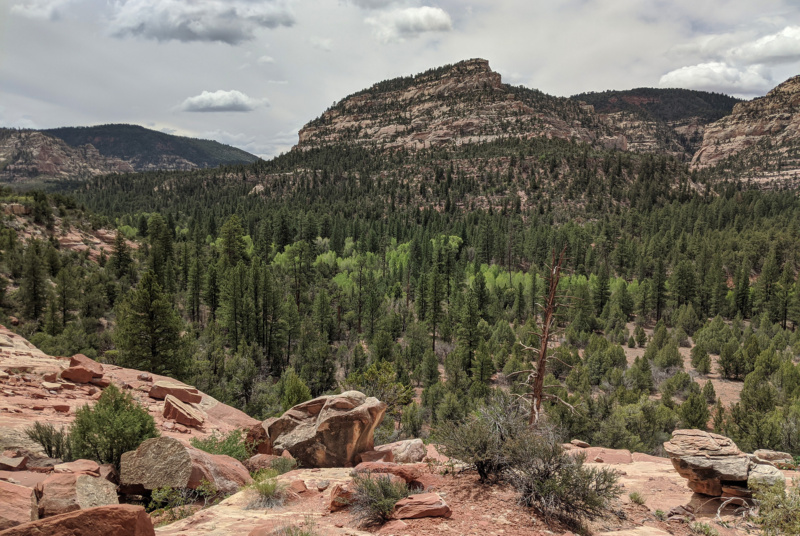
Walking through the Bears Ears and onto the southern end of Elk Ridge was like going through a portal into a different world.
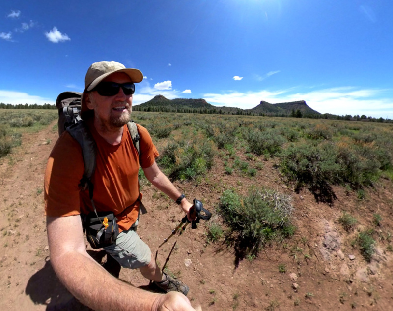
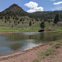
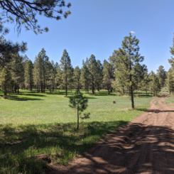
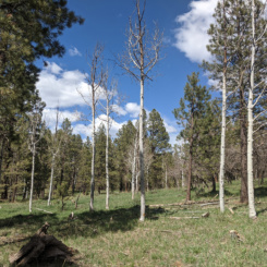
I was immediately walking through meadows and forests of a mix of pine and aspen. I walked by several stock ponds further confirming that I really did NOT need to carry so much water up the big hill. The temperatures were much cooler — especially when the sun hid behind the occasional cloud. When I stopped for lunch I contemplated getting out my jacket, but instead just sped things along and got back to walking.
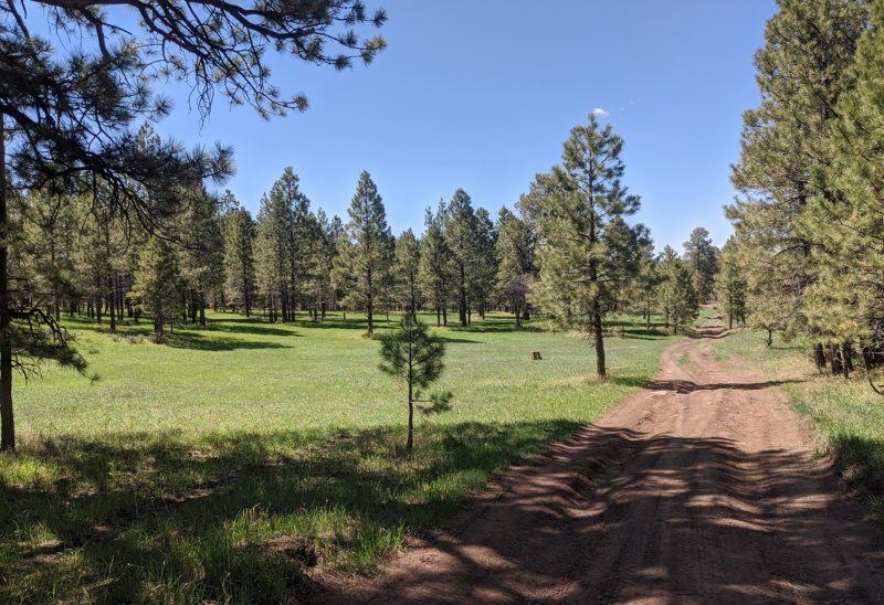
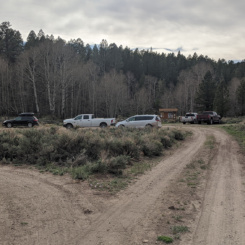
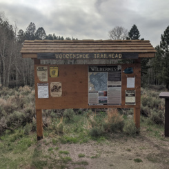
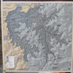
It was about 6 miles of a mix of cross-country and backroad walking for me to get to the Wooden Shoe Canyon trailhead. Along the way I only encountered one vehicle which passed me. I saw several parked cars along the way (campers/hikers?) and then more at the trailhead, but no actual people (besides the one driver.)
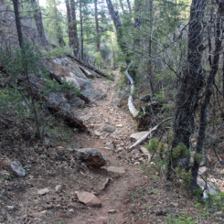
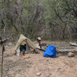
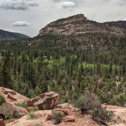
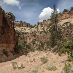
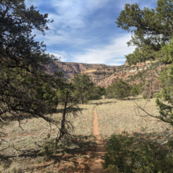
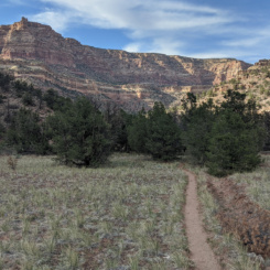
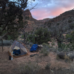
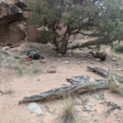
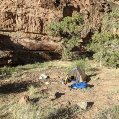
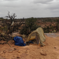
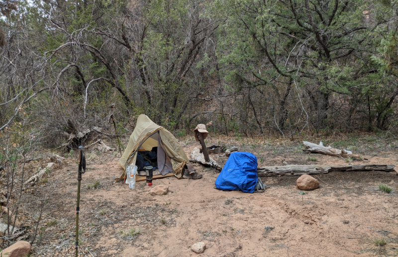
From the trailhead I followed the well-worn trail as it dropped down into the slowly forming canyon through the forest. It wasn’t that steep, but it was a continuous descent. After a few miles the canyon widened out a bit and I began to look for a place to camp as the sun was pretty much down by this point. Finding a suitable camping spot took a bit longer than expected due to the brush and trees, but eventually I found a previously established site just off the trail and made it home for the night.
Day 29
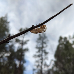
Continued down Woodenshoe in the morning and immediately became aware of the incessant buzzing of cicadas. I began seeing their shells everywhere, but it took a long time before I saw any live ones despite hearing them all around me. Their camouflage really makes them hidden in the forest. Once my eyes were “trained” I saw more of them — but not nearly as many as I heard!
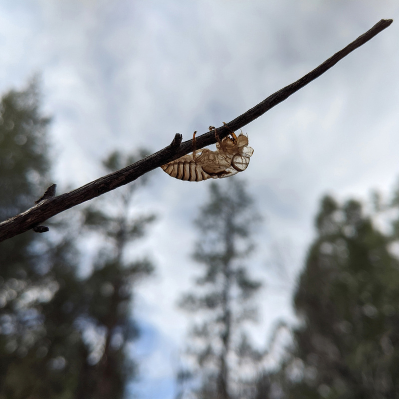
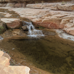
In about an hour I was at the junction with Cherry Canyon — a semi-reliable water source in upper Woodenshoe. There was a few established camping areas right at the junction — but no water. A report at the trailhead said one would have to go up the canyon a few hundred yards to find water. I didn’t need water, but I was curious so I left my pack at the camp area and went on a side hike to investigate. Sure enough just after about 5 minutes of walking there was what appeared to be a spring area and a few nice pools of water. There were a few more established camping area up here as well.
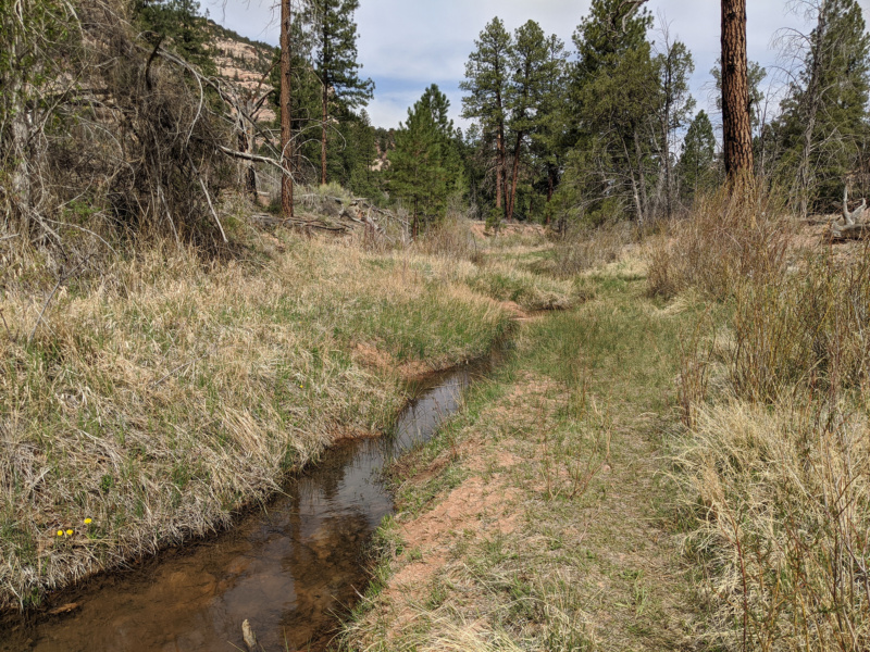
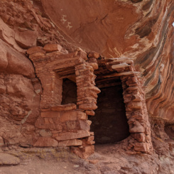
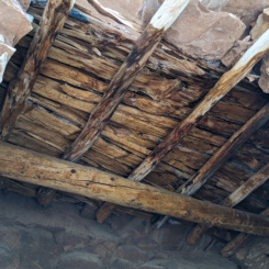
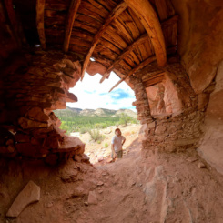
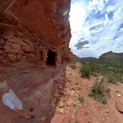
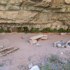
I returned to my pack and continued down the canyon which was considerably flatter compared to the upper end of the canyon. I was on the lookout for reported “ruins” east of the trail, though I didn’t know the exact area. I spotted a potential site and saw a side trail running that way so I thought I must in the right area. Sure enough, once I climbed the slickrock to the ledges I found this site with a small run and a few pictographs above.
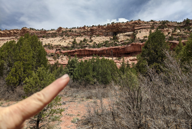
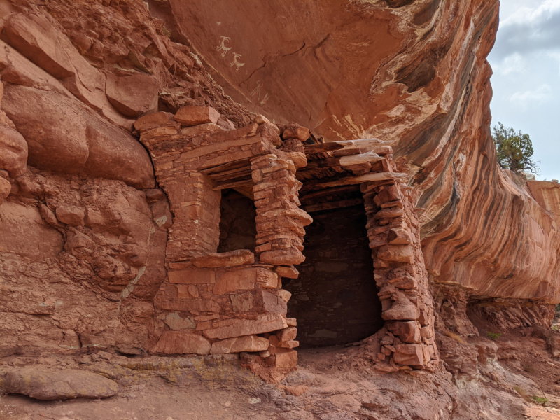
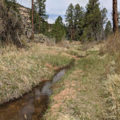
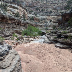
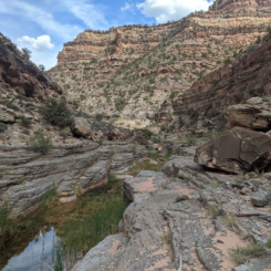
Headed down canyon again I made pretty good time. The trail was well established with minimal brush throughout. It mostly ran a few hundreds yards away from the wash. On the occasion it got closer, the wash was usually dry but on 1 or 2 occasions there were a few small pools.
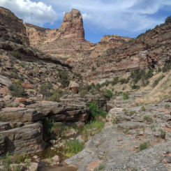
Farther down the canyon the route enters the wash and continues to follow it as the canyon becomes more entrenched. There was a side canyon running east with a “undercut arch” visible. I was told this side canyon had some interesting “sites”, but I didn’t go take a look.
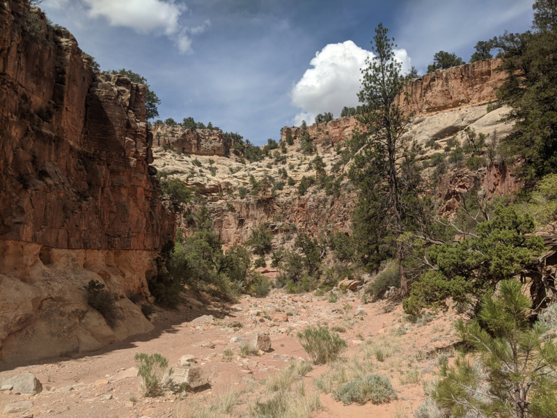
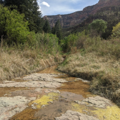
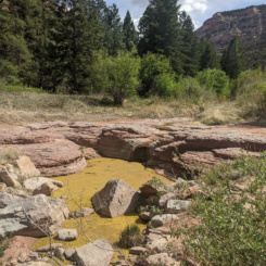
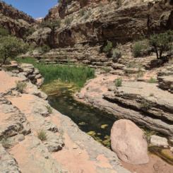
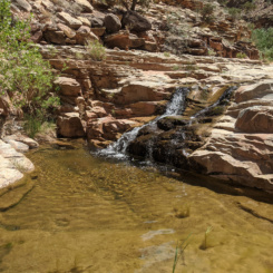
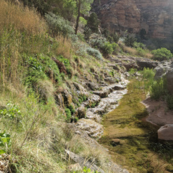
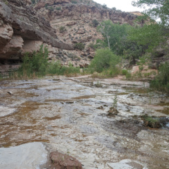
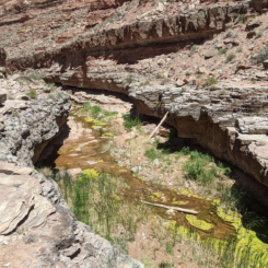
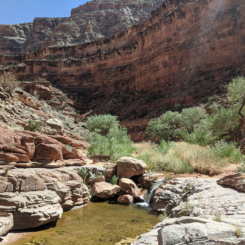
Before long the canyon opened up wider and I came to a spring seeping in from the side and then the stream began flowing across slickrock. The stream quickly formed large pools that were covered in algae. I believe this is unofficially called the “Frog Ponds” area — though I saw no frogs.
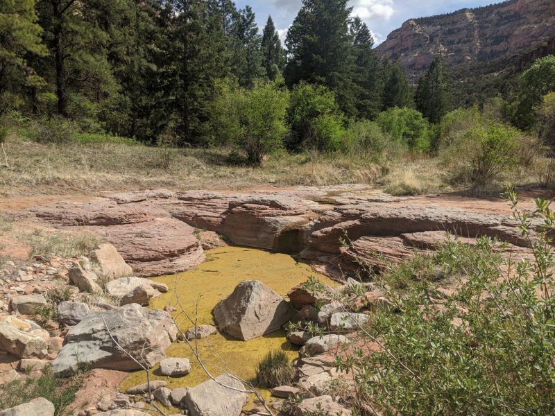
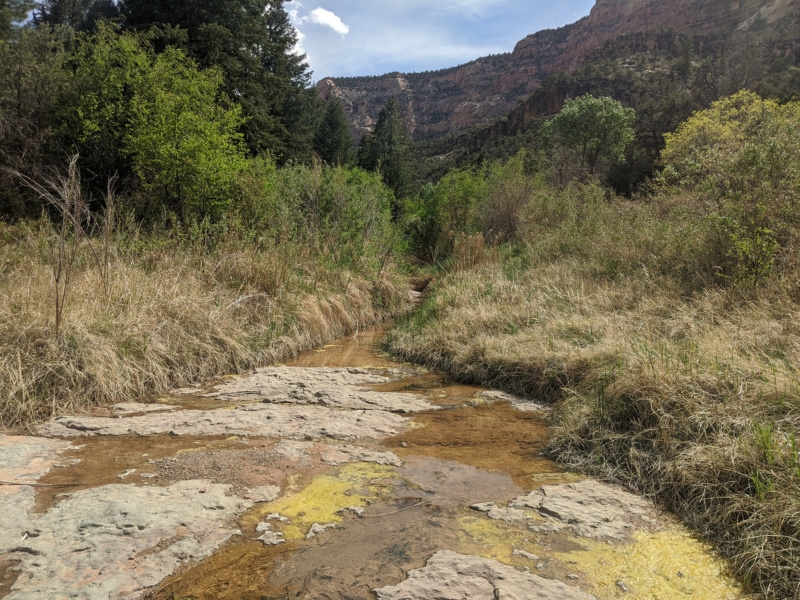
I met a group of 6 camped here. They were members of the NFS program doing trail maintenance. We had a nice chat before I continued on down the canyon. The stream dried up again shortly downstream, but then water flowed again from the wall at Woodenshoe Spring. I stopped here to fill my jugs — my first time since Natural Bridges! Yes, it was silly that I carried all that water that great distance. but this was the first water source that I was 100% sure would be available — so I’m glad to know that I could do it when needed (though it would have been so much easier/faster without carrying that much water!) This marked the end of my “New-to-Me” portion of the hike — as from here I’d walked the rest of the route before.
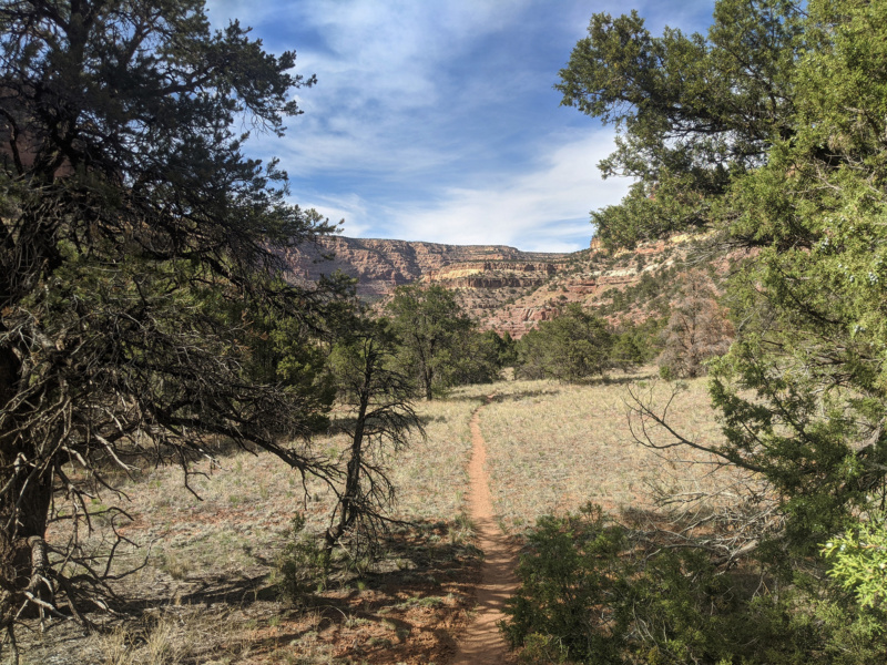
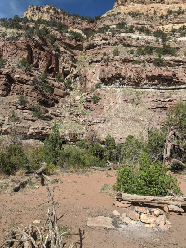
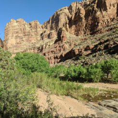
After taking a break and filling up, I continued down the again-dry wash toward the junction with Dark Canyon about a mile away. Once there I turned left and headed down canyon. A made my way down several bends to the west as the sun shone in my eyes before setting behind the canyon walls. I soon found a place to camp and enjoyed the sundown as it lit up the canyon walls.
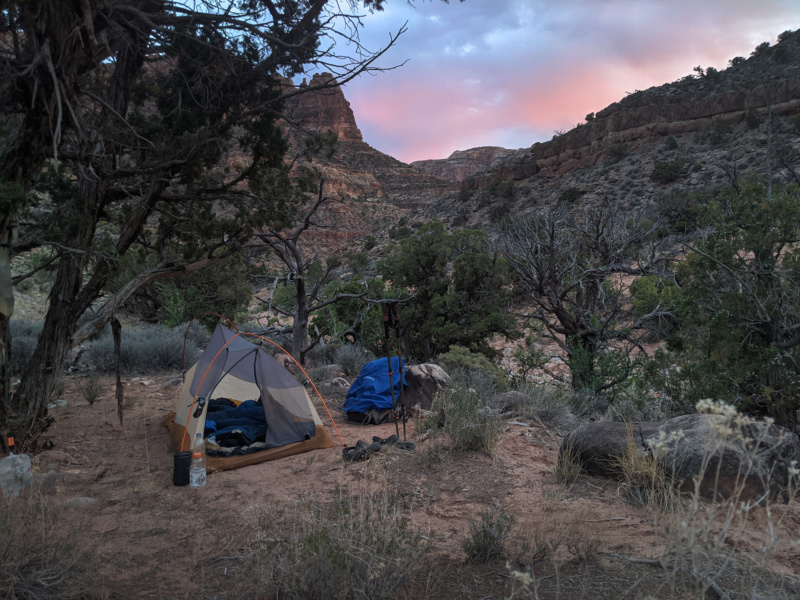
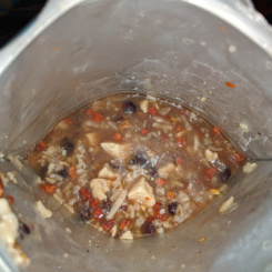
I enjoyed dinner and music in my tent while watching a cool patchwork of clouds drift across the starry sky through the mesh-top of my tent. It was awesome, until… it started raining on me! At first I thought I’d just let it rain as it didn’t seem like it could amount to much, but after a few minutes and things started to get wet I jumped out to put on the rain fly. The rain stopped shortly thereafter of course. 🙂
Day 30
In the morning I continued down Dark Canyon. This part of the canyon is still dry and fairly slow walking as the wash is sinuous and filled with big boulders. Similar to the last time I was here, the sun was out and semi-hot and the wind was blowing hard again.
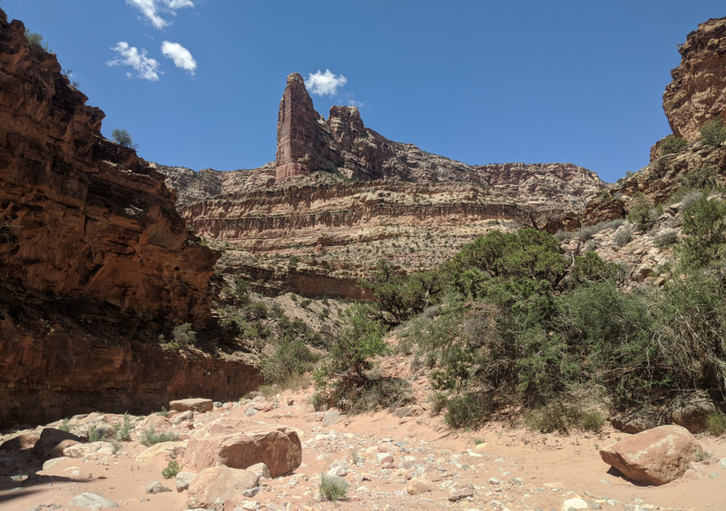
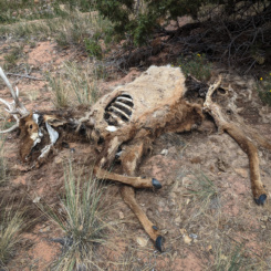
After a few hours of hiking I finally got to where the water began to flow. Hiking immediately got tougher as there were pools to avoid via ledges and much more brush. I was surprised when I came upon a dead elk in this area.
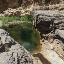
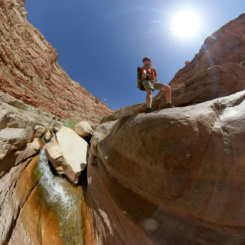
Before long the stream was really flowing and I came to a large drop where a waterslide ends in an amazing blue-green pool. I realized I was at what I called the “waterfall obstacle” on the my 2010 hike — though I don’t remember there being such a large pool that year. An easy bypass exists on the south side of the canyon.
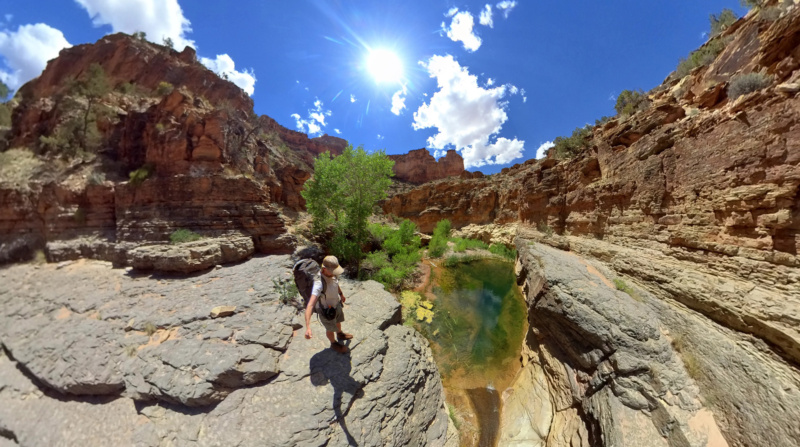
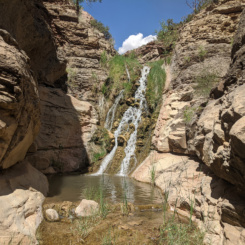
Nearing the the junction with Youngs Canyon, the inner wash became more problematic and I found a route which climbed up high on the western wall. I don’t remember this from last time, but it seems like the best way to go and there were even a few cairns marking the route. Soon I had to drop back down to stream level and I was at the junction of Youngs and enjoyed the waterfall there.
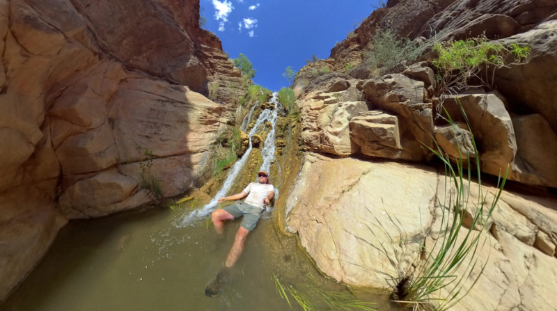
I took an extended break here — had lunch, charged batteries via solar, and filtered more water — and then headed on down the canyon.
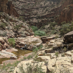
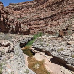
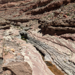
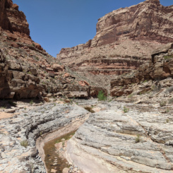
Down canyon I passed though a marshy area where multiple springs seeped in from the side wall and then I continued on a predominant ledge system which runs along the stream which cuts a narrow/shallow slot through the bedrock. This is “classic” Dark Canyon hiking right here as it’s a common occurrence over the next seven miles or so.
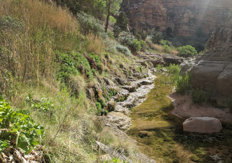
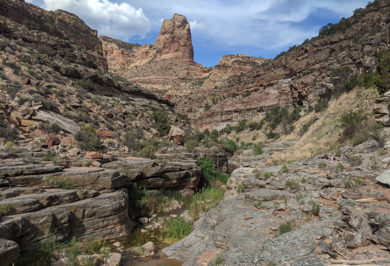
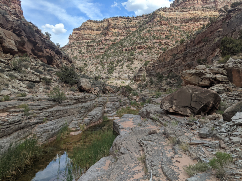
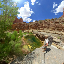
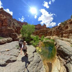
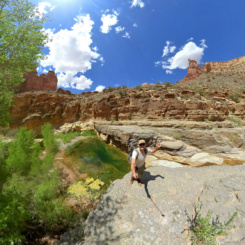
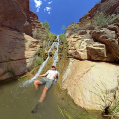
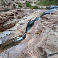
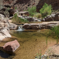
After an hour or two of hiking I got to one of my favorite spots in the canyon — a spot where there’s a nice big pool and then the water spreads out across slickrock as it makes a bend in the canyon. There’s an established camp here that I’d always wanted to spend the night, but the timing was never right. Even though it was before 6pm — I decided to call it a day just to finally spend the night at the awesome location. I dropped off my gear and walked around to take photos and in the process took a spill into the creek. Since this got me really wet, it made me decide to go ahead and take a swim in the big pool even though it was already in the shade and somewhat chilly.
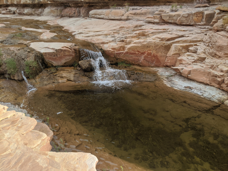
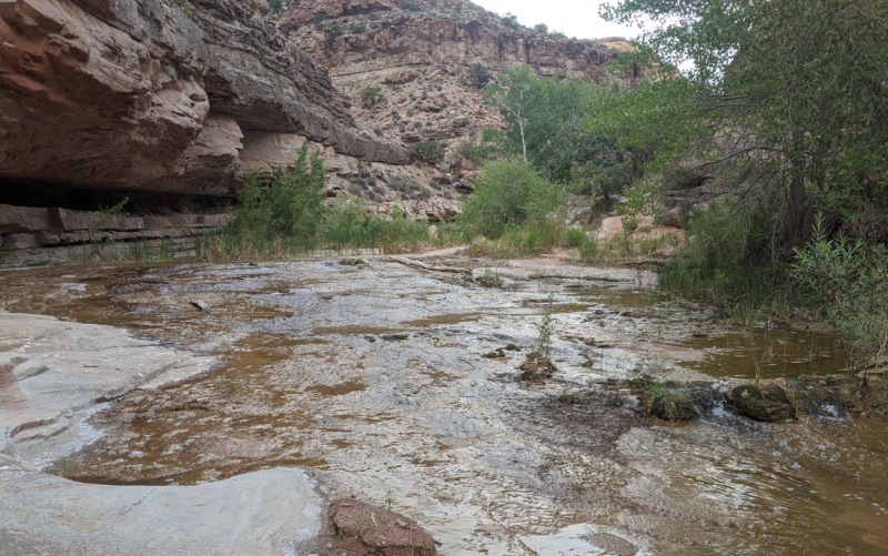
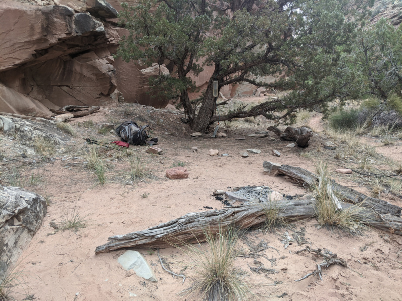
When I got out from the swim I realized that some really big clouds had moved in. This made me re-consider my decision to stop for the night. Dark Canyon is highly susceptible to flash floods as it has a huge catch basin. Even though there plenty of high ground and a flood wouldn’t be overly dangerous or completely stop travel up/down the canyon — it would definitely slow down one’s progress due to multiple stream crossings. With this in mind I decided to pack up and keep walking down the canyon to squeeze in a few more miles. I felt good about the decision, even though I had to settle for a much less desirable camping spot.
Day 31
Woke up to a bright and sunny day — that threatening storm from the day before completely blew past without even a raindrop on me.
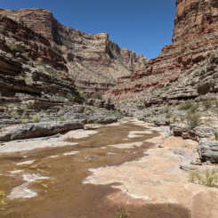
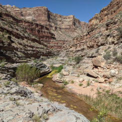
Continued on down the canyon enjoying the awesome scenery. It was a slow day as I took numerous breaks and enjoyed jumping in several pools.
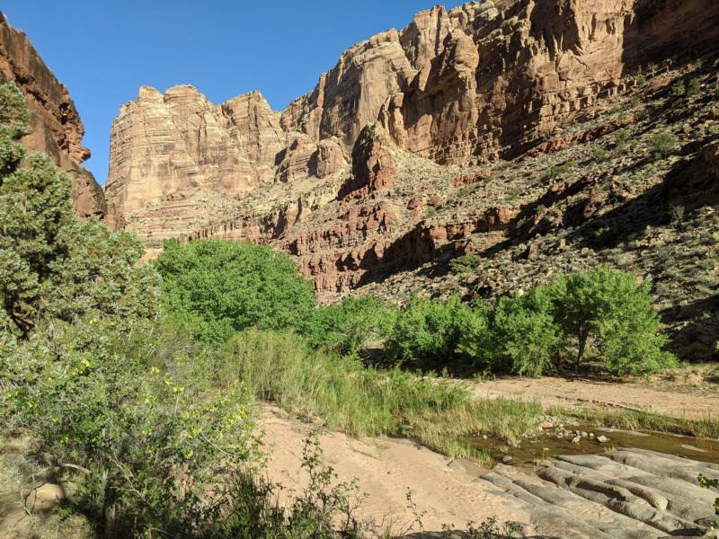
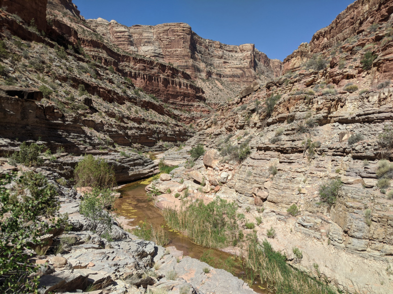
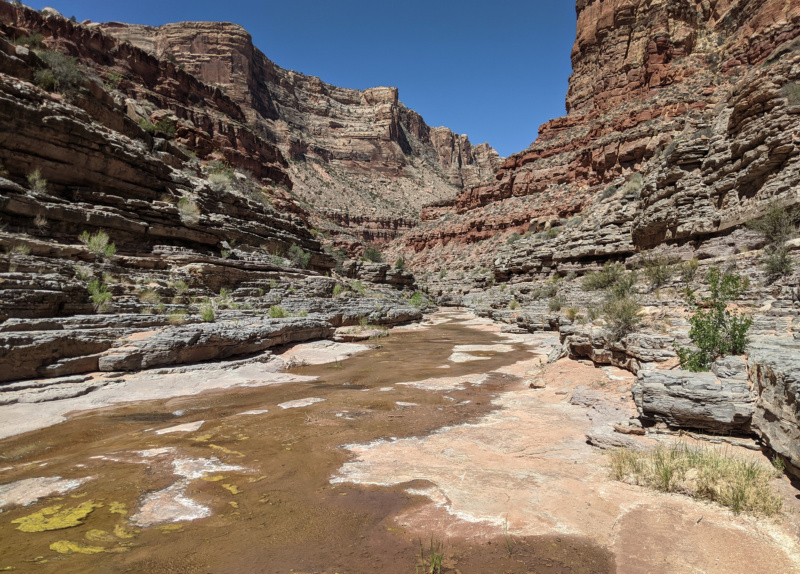
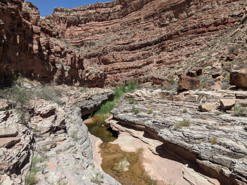
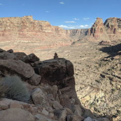
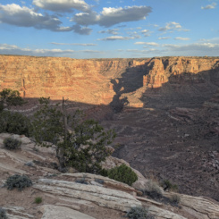
I’ve been through this section of canyon several times and it seems like each time I do it, I find a slightly different way. Most of the time this time I was high up on the southern ledges looking down into the inner canyon below.
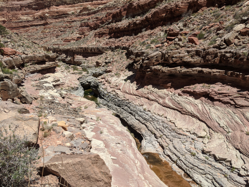
Later in the day the wind really picked up again. Once past the junction with Long Canyon I took another break and filled up on water again. I was waiting for the sun to go down some (and somewhat just procrastinating) before setting out away from the stream and up the huge climb that is the Sundance Trail. It was slow and tedious and often the correct route would disappear among multiple alternate routes and erroneous cairns. Eventually I got to the top in about an hour. The sun was going down and the wind was howling — but it was great feeling to be atop the canyon along the rim.
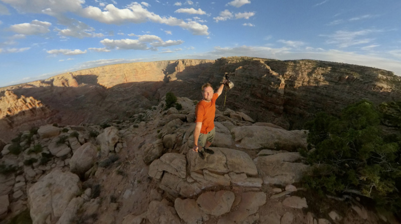
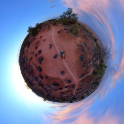
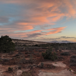
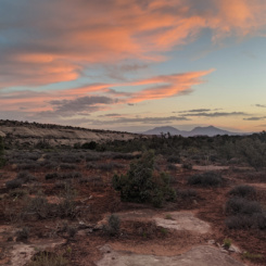
From there I followed the well-worn trail as it followed the rim to the west and cut through pinon pines and cryptobiotic soil. The Henry Mountain were visible again in the northwest and the sky exploded with color once the sun was down.
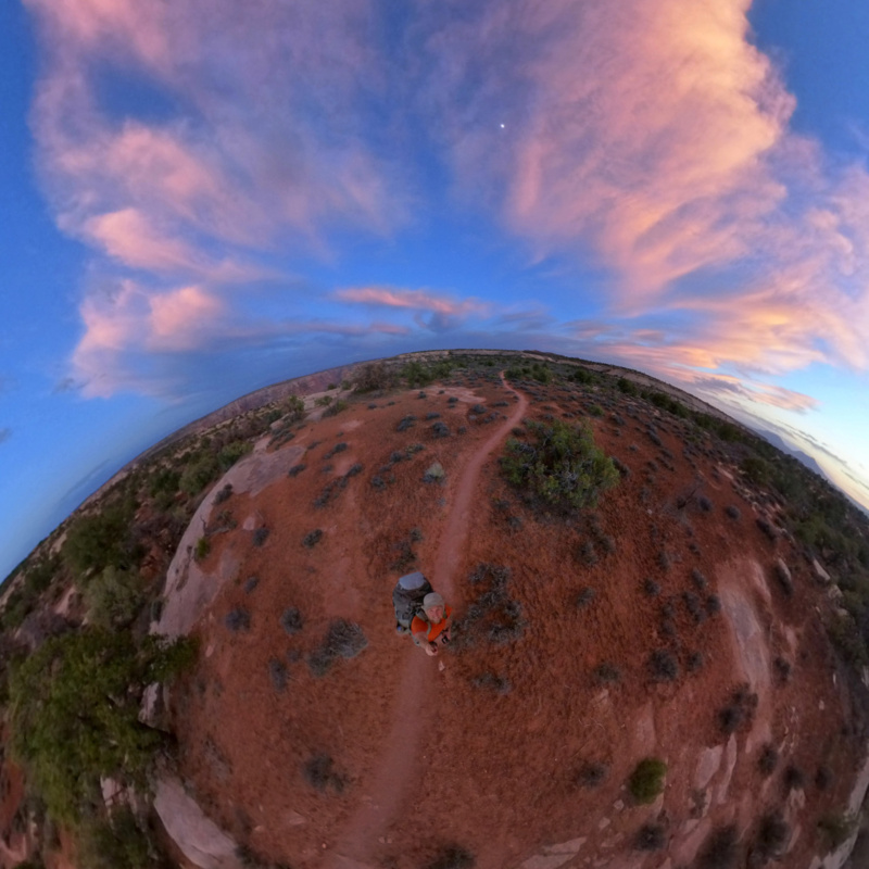
I hiked a little bit farther enjoying the lightshow and then found a place to camp for the night.
Day 32
Woke up to a steady rain. I actually prolonged getting out of my tent waiting for it to calm down. It finally did and I got out and packed everything up trying to keep stuff as dry as possible.
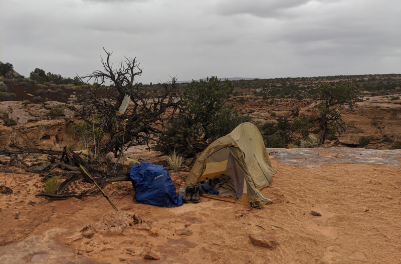
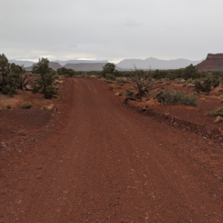
I was headed cross-country toward a backroad. This is a shortcut as opposed to following the new spur road at the Sundance trailhead. The Hayduke follows this route and I’d done it once before and came down a series of ledges in the process. This time I seemed to find a better way as no ledges were involved. The rain began again before I reached the road. It was a COLD rain too and windy — it made for a pretty miserable few miles.

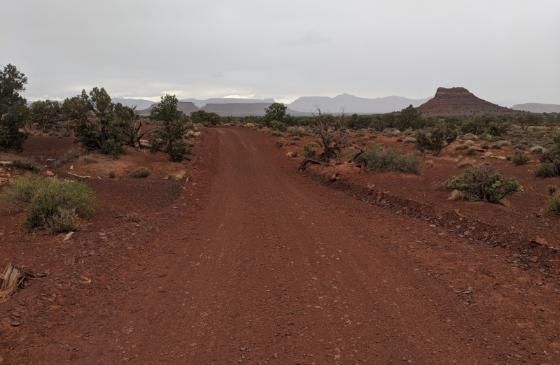
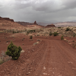
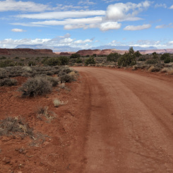
After about an hour of miserable conditions the rain stopped and the sun popped out. Then… about 10 minutes later it was raining again. And then hailing! This cycle would repeat for the next several hours as I made my way along the dirt road and to Hite. That’s spring in southern Utah!
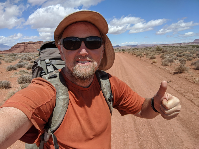
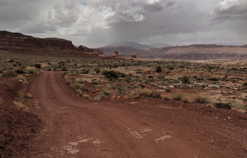
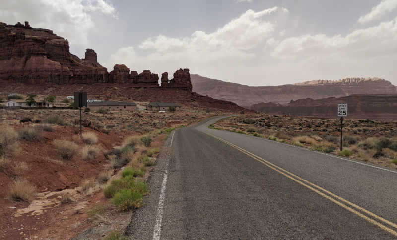
I got into Hite mid-afternoon and my hike was officially over! 496 miles in 32 days and MANY great experiences.
I’d truly considered hiking all the was BACK to Bryce. I even put out extra caches and mapped out a route with some alternates (see map). But… this was always a pie-in-the-sky scenario. I planned the trip with the intent of getting to Bears Ears and then I thought I could:
A) go back to Natural Bridges if I was ready to quit
B) continue on to Hite if I felt up to it (as I did)
C) hike all the way back to Bryce if I was ahead of schedule and felt like hiking for another 2-3 weeks! (which I wasn’t and didn’t.)
In the end Hite seemed like the perfect place to stop. 🙂
After the Hike
Even though my hike was officially over, my adventure was not. This was a unique year in that my parents were not able to meet me at the end of my hike. Thus — I needed to find a way to get back to my Jeep which was parked near Bryce in Tropic. The plan was to hitchhike most of the way back– but that would wait for tomorrow. Not only was the weather outside still miserable, I really just wanted to relax for the rest of the day. I went into the store at Hite and chatted with manager Katie. She had a re-supply for me (for if I were to continue hiking). So I got that plus some cold drinks and some treats. We chatted about the various Haydukers she’d met this season. I contributed some of my extra food to the “free stash” she had made available to hikers. When I told her about my plan to camp nearby she was aghast — as the wind really was terrible. She offered to let me stay in a shed outside the store. At first I refused, but she talked me into as the weather continued to get worse as the afternoon went on. And… I’m so glad I did because the shed was awesome. The wind was blowing so hard I thought it might collapse — so I can only imagine what it would have done to my tent!
The next morning I got more goodies from the store and Katie told me that a guy working at the store was about done and headed to Ticaboo and that he’d be happy to take me that far. I’d originally thought I’d go through Hanksville — but going through Ticaboo would work too and “bird in the hand”! So, that was great and a few hours later he dropped me at the southern end of the Burr Trail and I took off walking looking for my next hitch. I’m really not a fan of hitchhiking and I’ve never planned a trip that required it (though I’ve spontaneously grabbed a few rides over the years.)
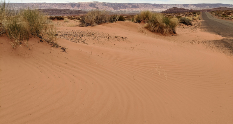
I really thought walking along the Burr Trail I might even be more likely to get a ride. Though I expected to see a fraction of the traffic compared to highways through Hanksville, I’ve heard that one is actually MORE likely to be picked up along isolated road (the idea that most people feel more obligated to help in that scenario.) But… over the course of the next 5 hours I only had 4 cars pass me in the direction I was walking. Three of those four just flew past my outreached thumb without even slowing down. The one guy to stop was apologetic and said he was completely full otherwise he’d give me a ride — and I could see he was telling the truth with two dogs and all kinds of gear jammed into his tiny truck. He asked if I needed any food or water though which was nice (though I was fine.) I ended up walking about 14 miles and the only solace was the weather wasn’t that bad until the end of the day. Much of the day it was overcast and cool. The wind was fairly tame all day until late in the afternoon when it once again became crazy filling the sky with dust and making it hard to walk. I ended up camping tucked in some junipers near the rim of Clay Canyon.
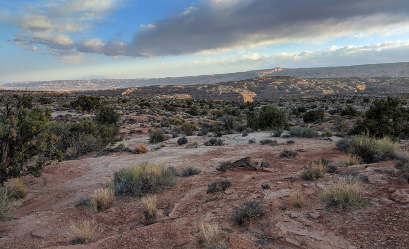
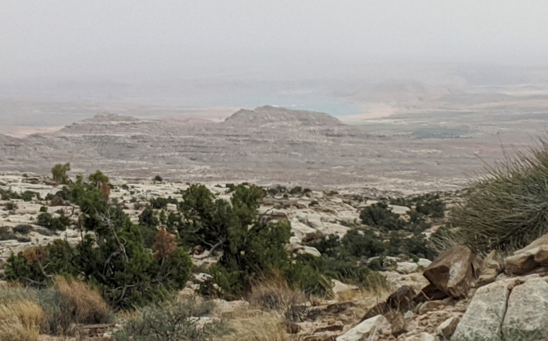
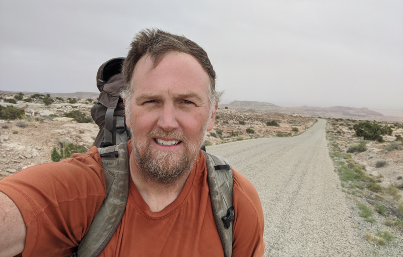
The next day I set out walking and again got passed by several vehicles. I’ve hiked long portions of the Burr Trail before on previous hikes and by this point I thought I was destined to walk the whole thing, but… then mid-morning a nice couple from Oregon stopped and offered me a ride. They said they were just going to the switchbacks and weren’t sure if that would help — but I graciously accepted and said that I’d take whatever ride I could get!
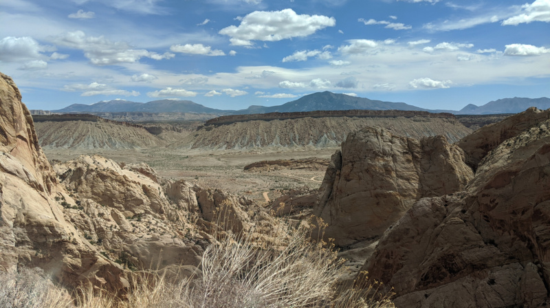
Once atop the switchbacks I said goodbye to the Oregonians and was back to walking the road. I was actually close to one of my caches so I considering going to it and hiking through the canyons to Escalante. BUT… I was semi-optimistic that my luck would change now that I was on this more popular section of the Burr Trail. And…
…within 10 minutes of walking that was the case as a red pick-up stopped to offer me a ride. It was a nice couple from Pennsylvania and the guy said he didn’t have any room in the cab, but I was welcome to jump in the back. “That’s great and thanks!” I replied. Then he said… “Are you on YouTube?!” Turns out he had seen some of my videos and recognized me! I was blown away. They ended up taking me all the way into the town of Boulder. They even offered to buy me lunch! I declined and said I should by buying THEM lunch, but instead I needed to keep walking/hitching to get back to Tropic.
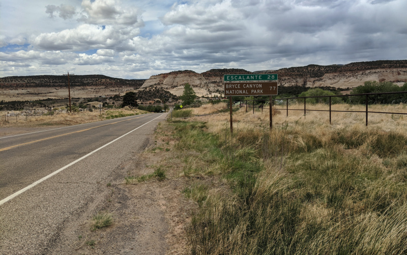
I walked through the small town and then stopped on the outskirts and tried hitching again. Several dozen cars passed me by in the first 10 minutes or so making me somewhat nervous again — but then a friendly guy from Brian Head stopped and asked where I was headed. “Tropic eventually I said, but anything in between here and there would help” I said. “I can get you to Tropic — that’s the way I’m going” he said. “Awesome!”
So, after an extremely slow start to my hitchhiking adventure… I was back and my Jeep near Bryce and the adventure was officially complete! Unofficially adding 2 days and nearly another 20 miles to the adventure!
The next day I drove around to retrieve my unused caches and then headed back to SLC to see my mom and dad.
Check out the full photo gallery below.
Photo Gallery:
- walking away from the Bears Ears
- stock pond
- Elk Ridge
- aspen trees
- Woodenshoe Canyon TH
- Woodenshoe Canyon
- Woodenshoe Canyon
- Woodenshoe Canyon TH
- trail descending into Woodenshoe Canyon
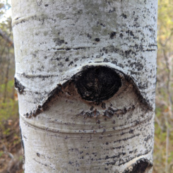
- aspen “eye”
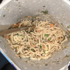
- dinner
- camp in upper Woodenshoe Canyon
- cicada shell
- Cherry Canyon pool
- near Chery Canyon junction
- ancestral site viewing
- the site
- roof
- view from inside
- upper Woodenshoe Canyon
- lower Woodenshoe Canyon
- water runs in Woodenshoe Canyon
- near the “frog ponds” area
- lower Woodenshoe Canyon
- Woodenshoe Spring
- Woodenshoe Spring
- lower Woodenshoe Canyon
- sun going down in Dark Canyon
- sun going down in Dark Canyon
- camp in Dark Canyon
- dry portion of Dark Canyon
- Dark Canyon near Black Steer Canyon
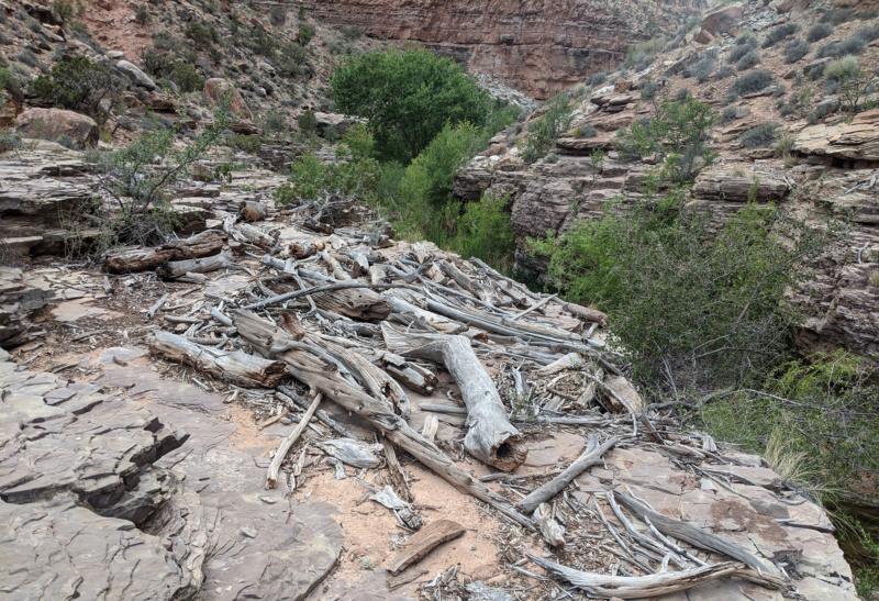
- debris pile
- Dark Canyon
- water begins in Dark Canyon
- dead elk
- large pool (bypass required)
- large pool (bypass required)
- large pool (bypass required)
- large pool (bypass required)
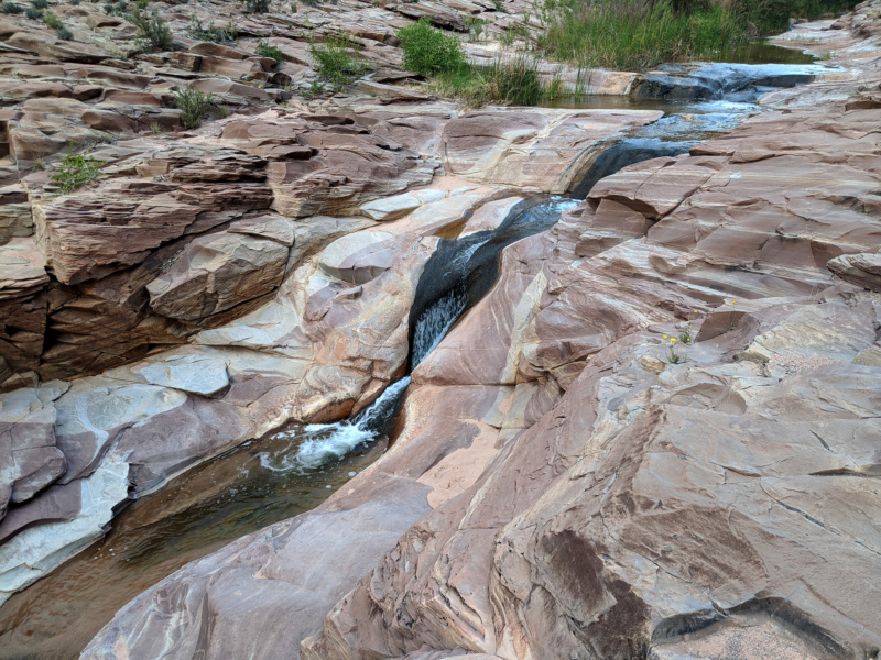
- cascades in Dark Canyon
- cascades in Dark Canyon
- waterfall at bottom of Youngs Canyon
- Youngs Canyon waterfall
- dead bat
- swampy are in Dark Canyon
- Dark Canyon
- flood debris in Dark Canyon
- walking ledges in Dark Canyon
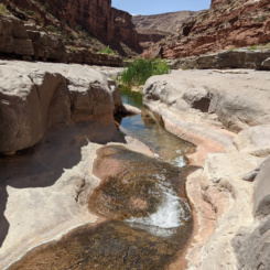
- great pool
- established camp near cascades
- Cascades
- flood debris in Dark Canyon
- nice section of water over slickrock
- camp
- another established camp
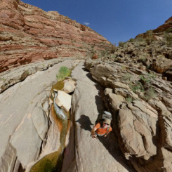
- classic Dark Canyon
- classic Dark Canyon
- classic Dark Canyon
- classic Dark Canyon
- classic Dark Canyon
- walking ledges in Dark Canyon
- Dark Canyon
- walking ledges in Dark Canyon
- walking ledges in Dark Canyon
- another great pool
- lots of algae in 2021
- nice cascade
- conglomerates in Dark Canyon
- walking ledges in Dark Canyon
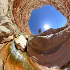
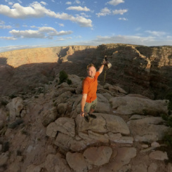
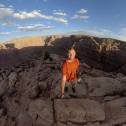
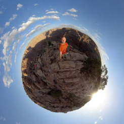
- fisheye view of Dark Canyon
- fisheye view of Dark Canyon
- cascades near Long Canyon
- established camp area
- climbing Sundance Trail
- top of Sundance Trail
- top of Sundance Trail
- fisheye view of Dark Canyon rim
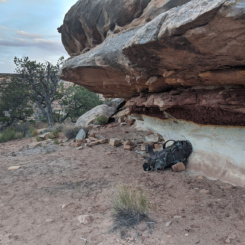
- overhand along rim trail
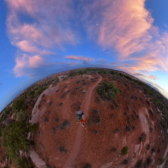
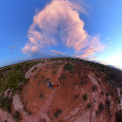
- fisheye view abovef Dark Canyon
- fisheye view abovef Dark Canyon
- awesome sundown
- sundown on the Henry Mountains
- dinner
- soggy final morning
- contaminated tank
- sun is out (for a few minutes!)
- road to Hite
- nearing Hite
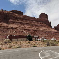
- Hite
- Hite
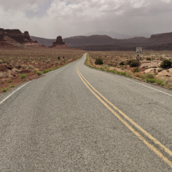
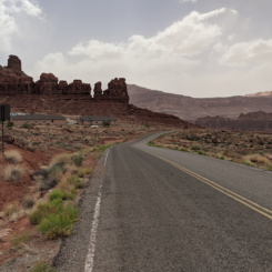
- The Burr Trail
- The Burr Trail
- sand encroaches on road along Burr trail
- The Burr Trail
- dusty The Burr Trail
- dusty The Burr Trail
- along The Burr Trail
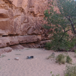
- camp along The Burr Trail
- Burr Trail Switchbacks
- town of Boulder


