Below is the Daily Journal for this segment of the hike. Alternatively click any thumbnail to jump to:
(previous: Captiol Reef and around Lake Powell || next: Into the Grand Gulch)
Part 6: The Mysterious Moqui Canyon
May 8, 2021
Day 19
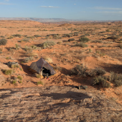
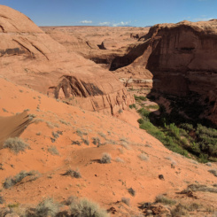
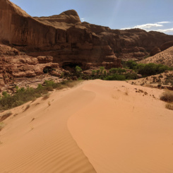
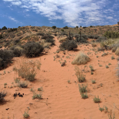
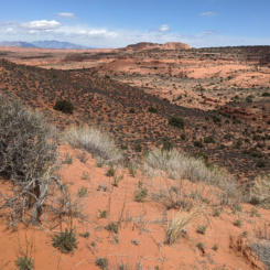
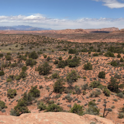
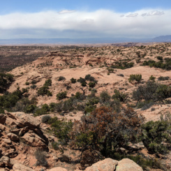
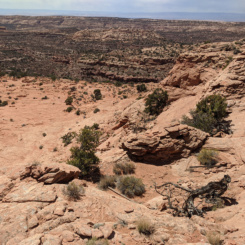
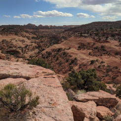
Set out in the morning on a windy day across more dunes and slickrock toward the rim of the Moqui Canyon. I was at the canyon’s rim within an hour:
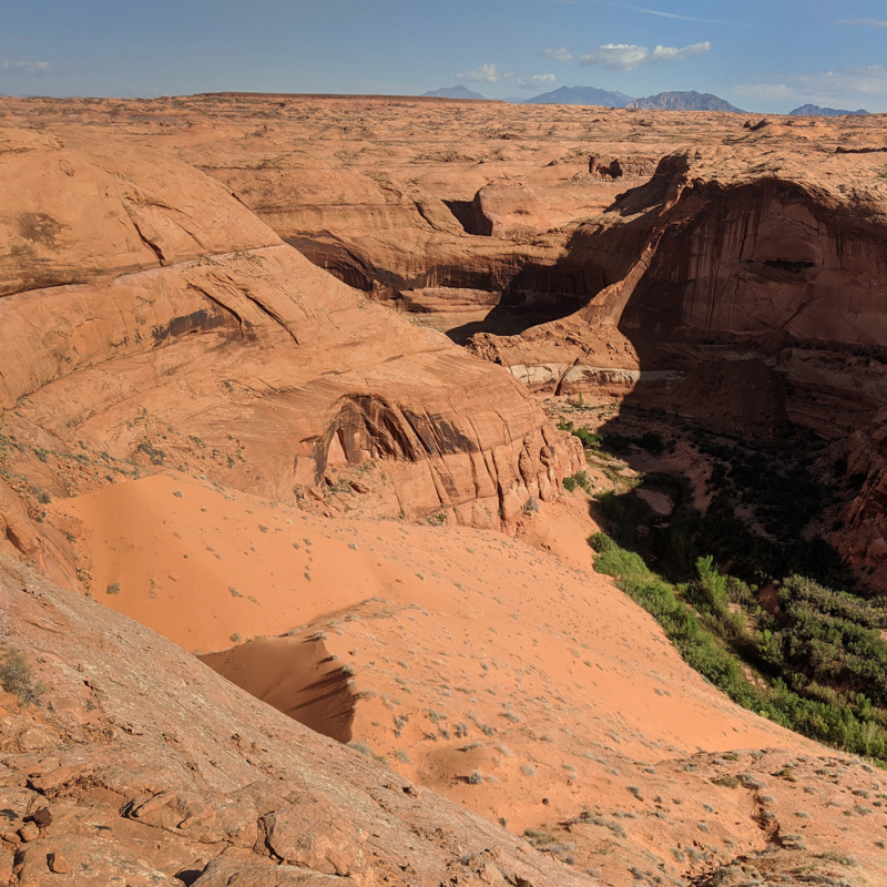
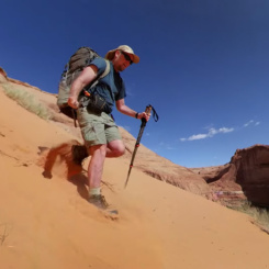
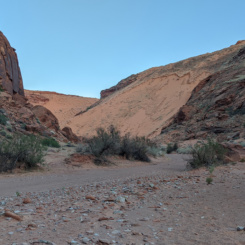
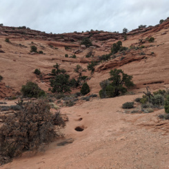
This is one of the few spots along the rim where it’s possible for hikers to get from the rim to the canyon floor. The route requires a steep descent of slickrock near the top and then sliding down a massive dune. The route is documented by Kelsey and a few other guides — though I didn’t see any makers or even footprints at the location. It was a fun (and fast) way down.
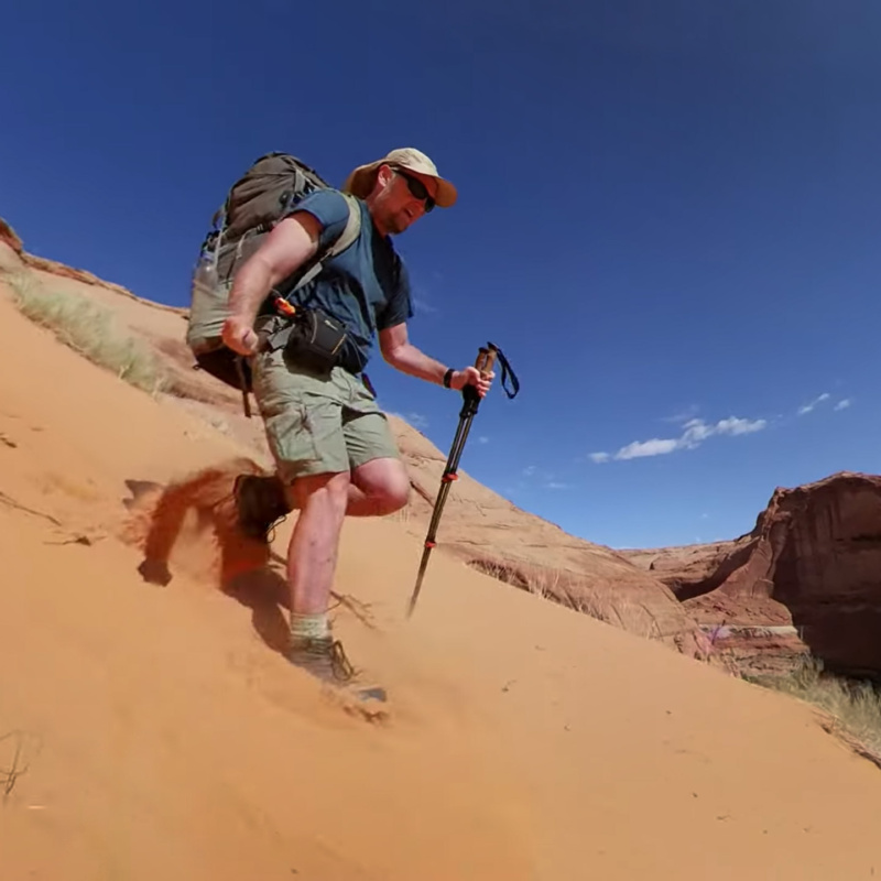
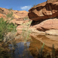
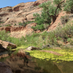
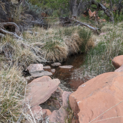
At the bottom I was happy to see water flowing through the canyon. I expected this; but for this dry year everything was somewhat in doubt. There’s really not too much to be found online or in books about this canyon system so it was indeed a bit of mystery for me heading in. Once I emptied the sand out of my shoes I headed up canyon.
NOTE: as shown on my trip map, my original plan was to go down canyon to the North Gulch branch and then go up that canyon. I’ve read that that branch is slightly more scenic, though more rugged and slow-going and thus I opted to just go up the main branch to make up time.
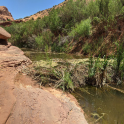
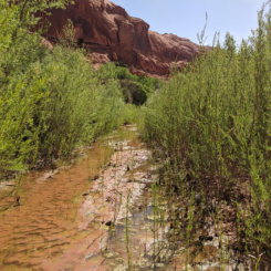
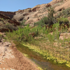
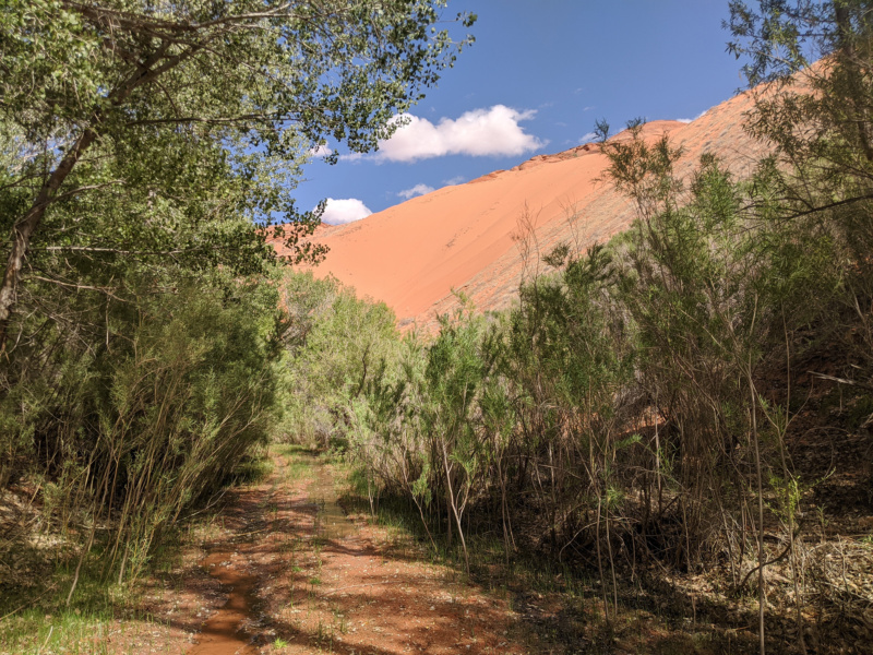
The first stretch of canyon was pretty slow — lots of brush along the stream and several beaver dams. Some of the dams completely blocked the floor of the canyon requiring a bypass.

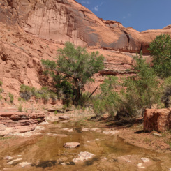
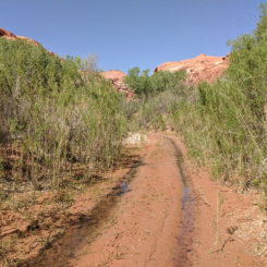
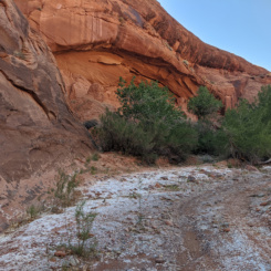
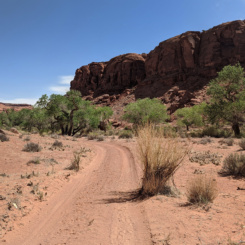
Farther up the canyon changed character a bit as there was a stretch of slickrock lined the canyon bottom. I was actually surprised to see tire tracks here. There is a road farther up the canyon, but vehicles are not supposed to come this far down the canyon. The only bright side to seeing this was that it indicated that the brush and difficult walking upstream must subside — and it did!
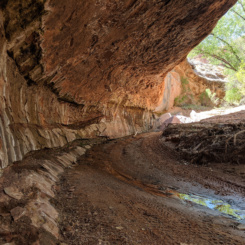
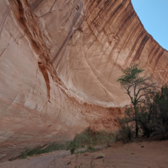
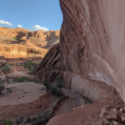
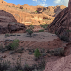
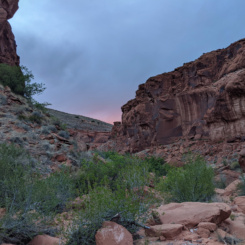
Much of the path up the canyon was still really walled in with brush. Occasionally I’d get a glimpse of towering canyon walls and alcoves above me. I got the impression that there was more of the canyon to be seen, but unfortunately most of it was hidden from view via the “tree tunnel” I walked along the stream. One such impressive view was another massive dune coming down the southern side of the canyon.
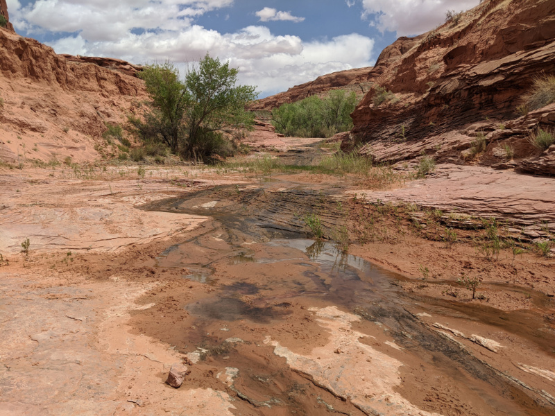

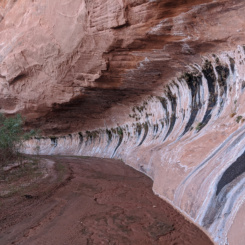
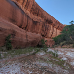
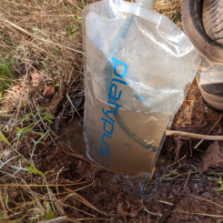
A bit farther up the stream became only intermittent. I stopped for a lunch break and grabbed and filtered some water. The next section of canyon was nice as the brush subsided a bit, and the canyon walls seemed to move in some and were streaked with a great desert varnish. A frustrating part of this section was that I was still off and on walking through shin-deep water. I was happy there was water — I just couldn’t tell when/if it was going to dry up completely so I continued to carry near maximum load the entire time! (about 1.5 gallons)
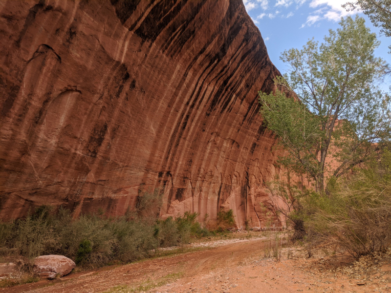
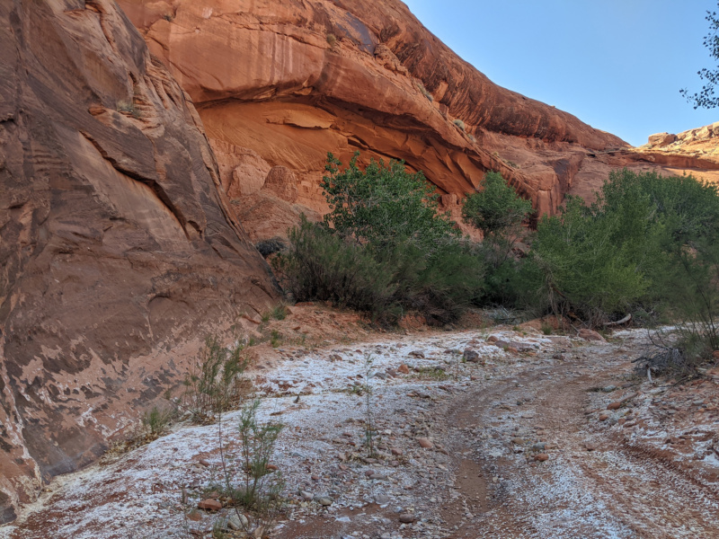
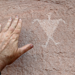
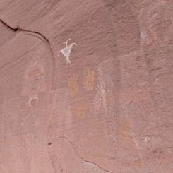
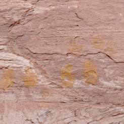
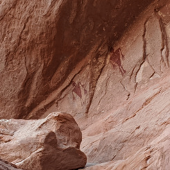
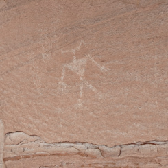
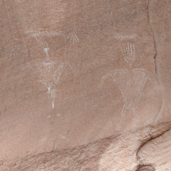
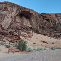
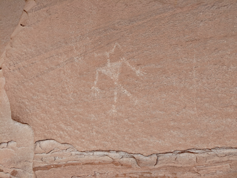
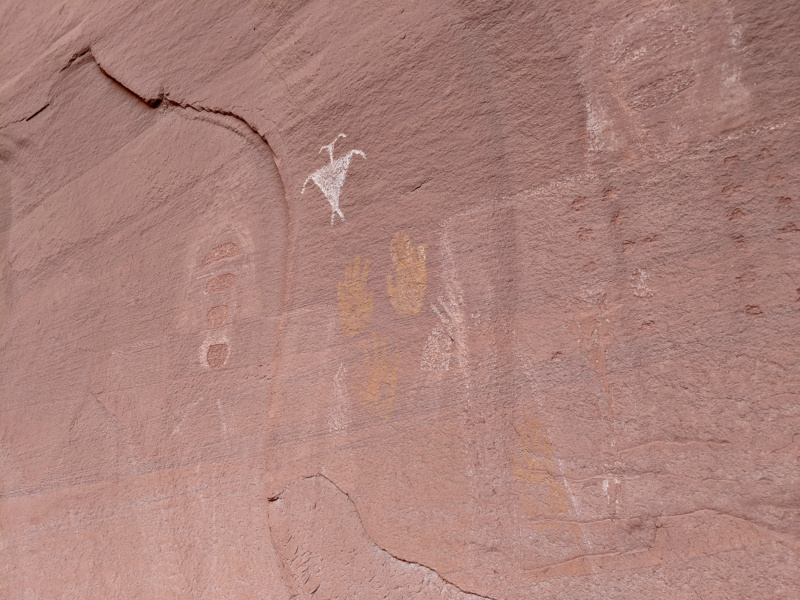
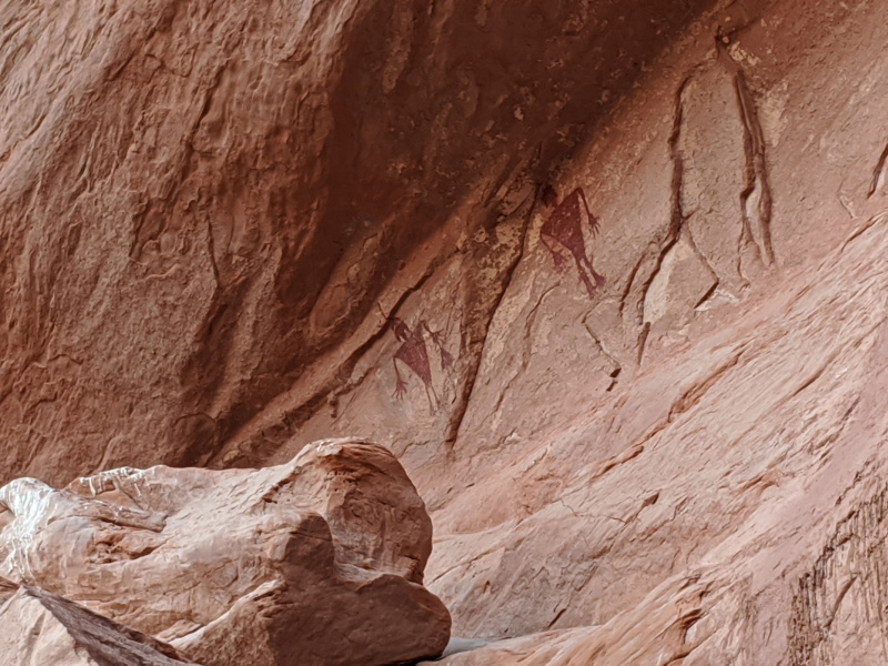
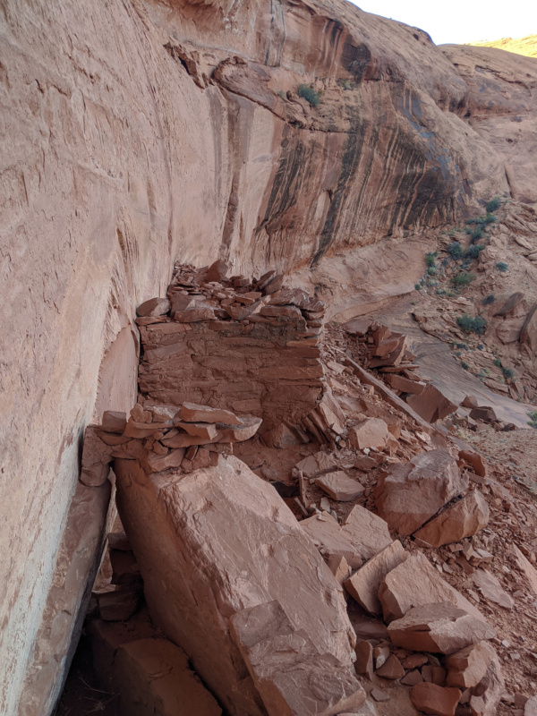
At one nice alcove I spotted what appeared to be rock art high up on the wall above. I dropped the pack and climbed up to investigate and sure enough it was a few pictographs.
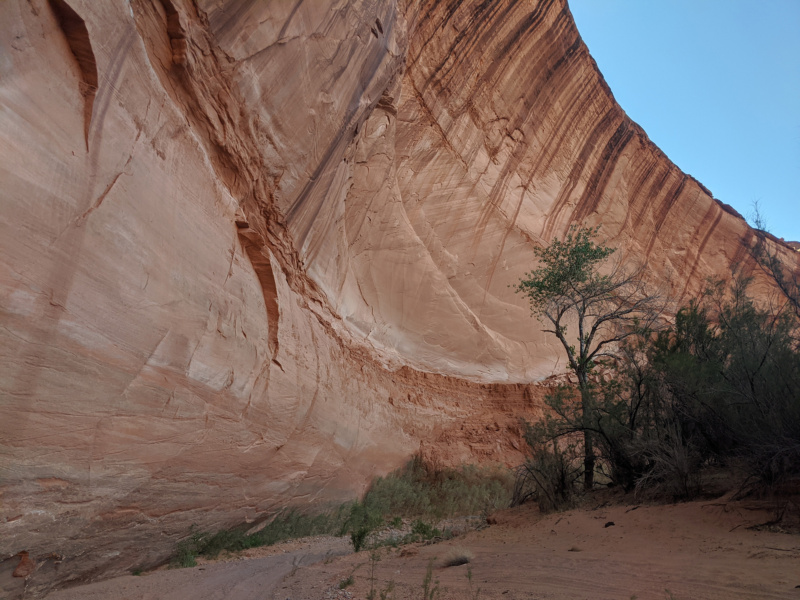
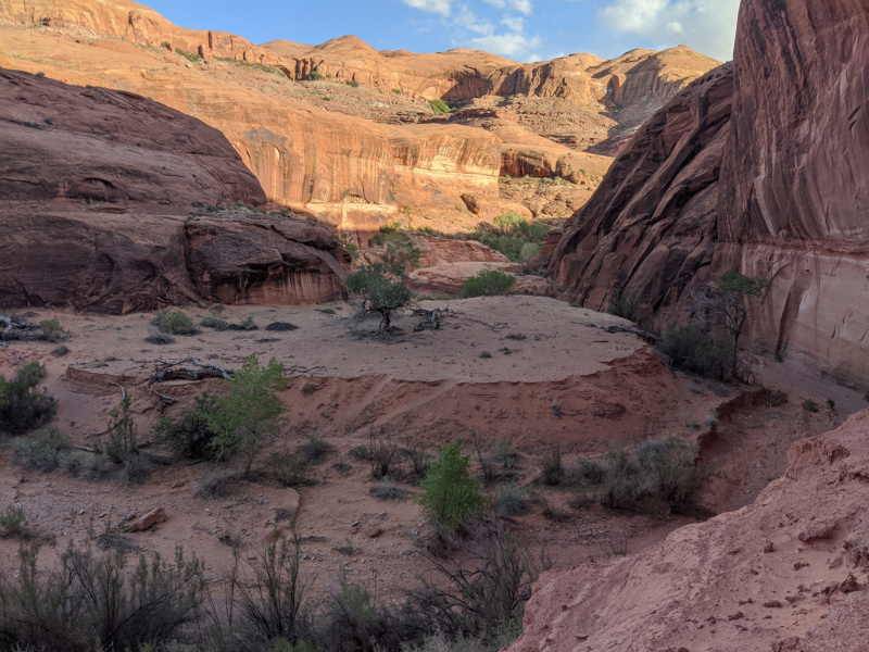
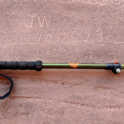
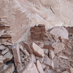
At first I didn’t see anything else at the site. But… as I explored more up along the wall and around the bend there was indeed more and more rock art and structures to be found — some really cool stuff. I also found a 1923 inscription from JW — which I later deduced to be John Wetherill who led explorations in the region for the National Geographic Society in the early 1920s (referred to with alternate spelling of Moki Canyon.) This isn’t an amazing site compared to others in the Cedar Mesa region — but it was so cool to stumble upon it by accident and enjoy it as would an early explorer (and then learn more about the site after the fact by those who’d been there before me.)
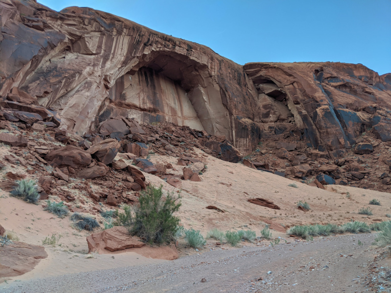
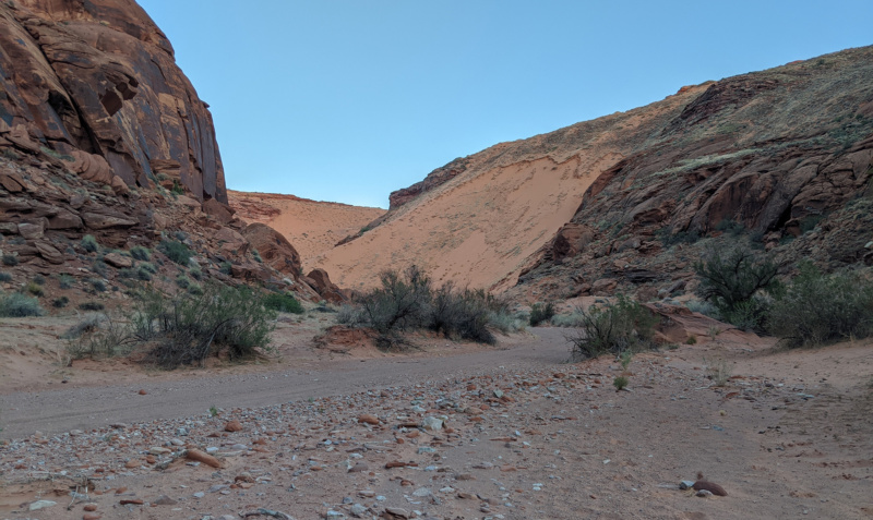
The sun dipped below the horizon as I continued on up the canyon. Soon I was at the next massive dune. This one actually featured an ATV route coming down its slopes and as such is the primary method for vehicles into the canyon. I passed through a fence/gate at the foot of the dune and continued up canyon along a much more frequently traveled road before finding a place nearby to camp for the night near another outbreak of water.
DAY 20
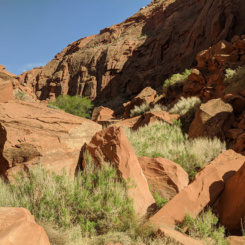
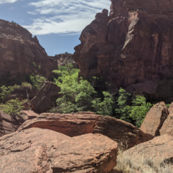
Awoke to a nice and sunny day without the wind from the day before. I continued following the well-worn road up the canyon which began to get a bit more wide though still entrenched in with red, chunky canyon walls.
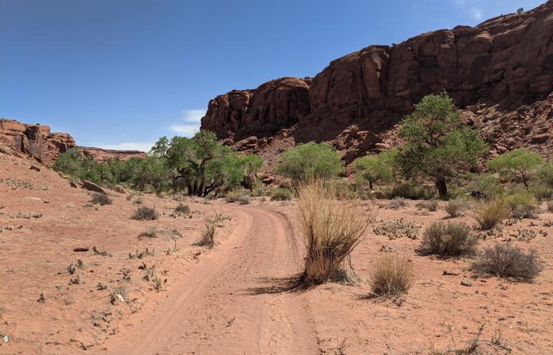
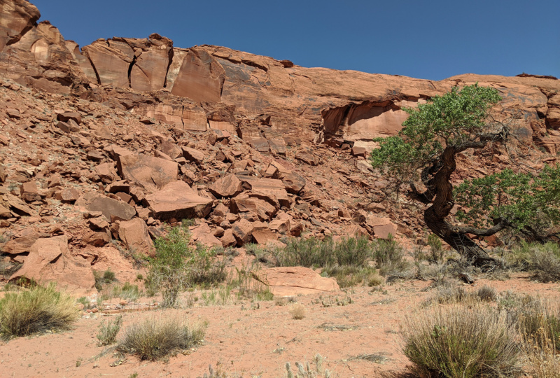
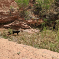
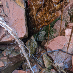
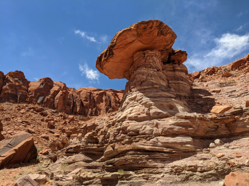
About 3 miles farther up I stopped for a break up at a triple-fork in the canyon near Harrison Spring. I didn’t actually investigate the spring itself as I turned up the “Right Fork” on the opposite side of the canyon. I pondered if I should visit the spring as the canyon floor had completely dried up by this point, but I still had plenty of water from earlier and the map showed a few more springs ahead. And sure enough… just 1/4 mile up the side canyon I came to spot on the southern slope with large trees and water cascading down the hillside (but soaking into the sandy canyon bottom instead of flowing down canyon.) There would be a few more springs/seeps like this over the next few miles. Along with some cool geology and some cows.

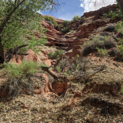
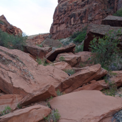
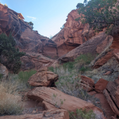
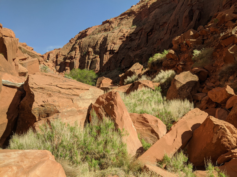
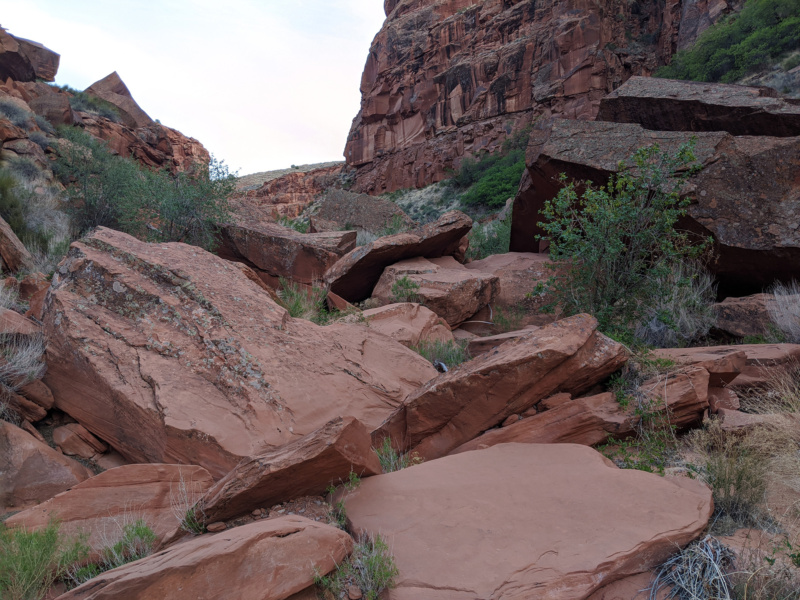
Farther up canyon became a real “boulderfest”. It was tedious climbing up and over car-sized boulders that lined the bottom of the canyon. After one excruciating stretch I really thought I was past the worst of it, only to be greeted by more boulders around the bend. The cows couldn’t make it through this section and I was beginning to worry I might not be able to exit this canyon this wayas hoped as the canyon walls were still high and sheer. Again part of the “mystery” of this canyon was that I had very little beta on it in general and didn’t have any details on this side canyon. I know a guy who had hiked though Moqui and exited the top and I thought this was the canyon he used to exit — but didn’t know for sure and even if so… where! I continued on up to near the head of the canyon before calling it a night. There appeared to be 2-3 possible exits nearby, but it was too late to attempt so I made camp instead and would investigate in the morning. I took solace in the fact that there was water in this part of the canyon — thus that wasn’t an issue.
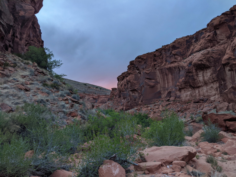
DAY 21
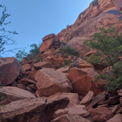
Got up and left the big pack behind to investigate three possible areas that I thought it might be possible to access the rim. After climbing up some boulders I realized that Option A was soon met with an impassable dryfall. It looked like it might have been possible to climb up and around via a steep bypass. I tried it and it was pretty sketchy so I climbed back down. Many of the boulders on the steep ascent weren’t really stable. As I joked on my video I call these “Ralston rocks” — they seem like they’d be stable because they are so large, but in reality they are at that critical angle and ready to shift or topple. I still though this climb MIGHT be possible, but decided to go check out the other options first.
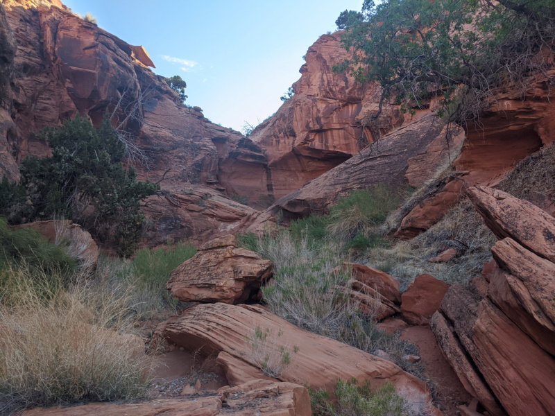
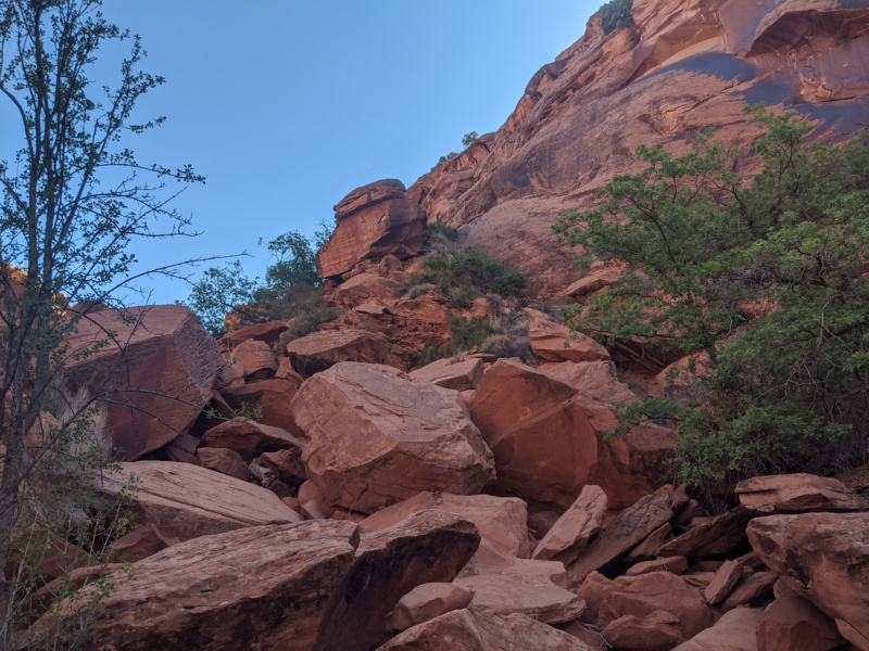
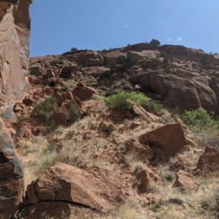
I ended up walking past Option B as it looked like it involved too much climbing. Around the corner up the canyon is what I called Option C and though it had the larger elevation gain — it looked like there might have been a series of gradual ramps to get up near the top on the north side. It was impossible to see from below if the very top was manageable — but this looked like the best bet so I went back to get my pack and try it for real.

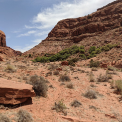
After loading up on max water again I began the climb up. And… shortly after beginning I noticed a pile of horse manure! This excited me as I knew that that meant that horses must use this route to get down to water and if that’s the case… I would be able to get up! And sure enough after climbing up the first relatively easy section, I saw another ramp which was out of sight from the bottom which led to the top. In fact as I got closer it was apparent that this was a constructed rancher route in/out of the canyon. It made life so much easier and soon I was up on the rim.
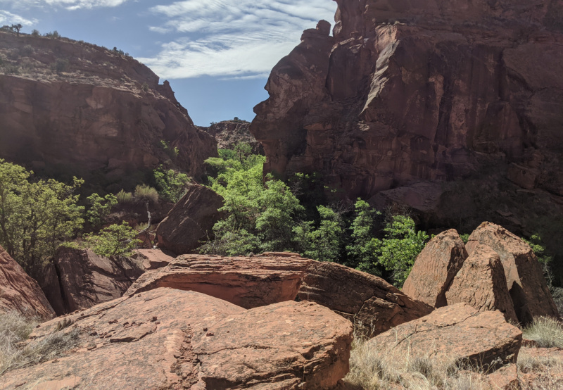
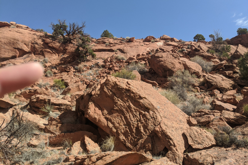
From there I followed the canyon rim for a while before the entrenched canyon below me ended in a large dryfall and the canyon floor rose up to greet me. I wanted to head generally East from this area — but the topogrpahy in that direction looked pretty rough and I wanted to skip any more climbing for a while. Thus I opted to swing back to the south first and climb another sand dune to access the top of the mesa.
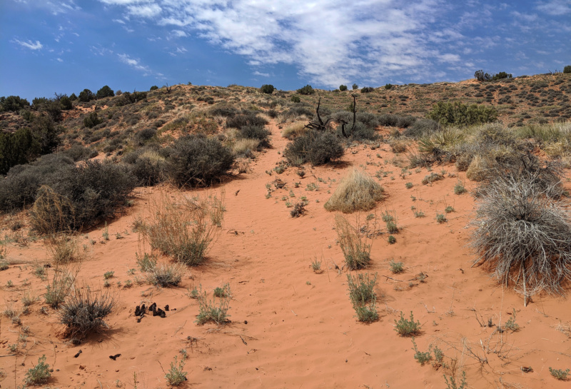
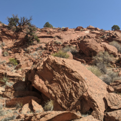
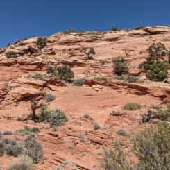
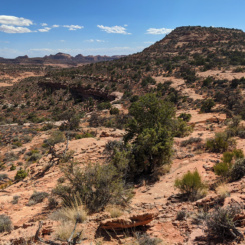
Climbing UP the big dune was tedious, but it was still probably the best bet. From there I headed back to the east and climbed higher and higher from one slickrock dome to the next. Looking to the north I had a good view of the Henry Mountains. It was a unique perspective as here from the south the peaks all clumped together and not how I usually see them from either the west or the east.
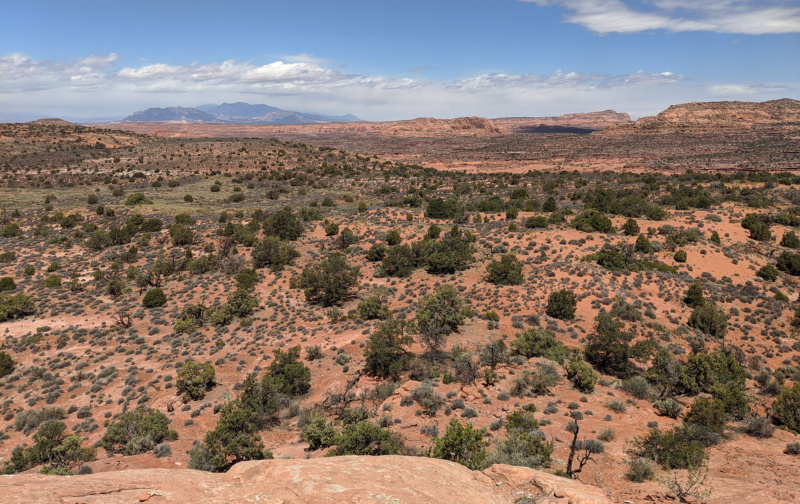
Soon I found myself up on the high point of the plateau. I didn’t really intend on doing this, but it was near the general direction I wanted to go and once near the top I wanted to reach the summit. It definitely provided great views in all directions — Navajo Mountain was in the west and the Straight Cliffs just to the right. In the opposite direction I could see the Abajo Mountains and I’m pretty sure I spotted one of the Bears Ears. To the southeast I could even identity the famous buttes of Monument Valley.
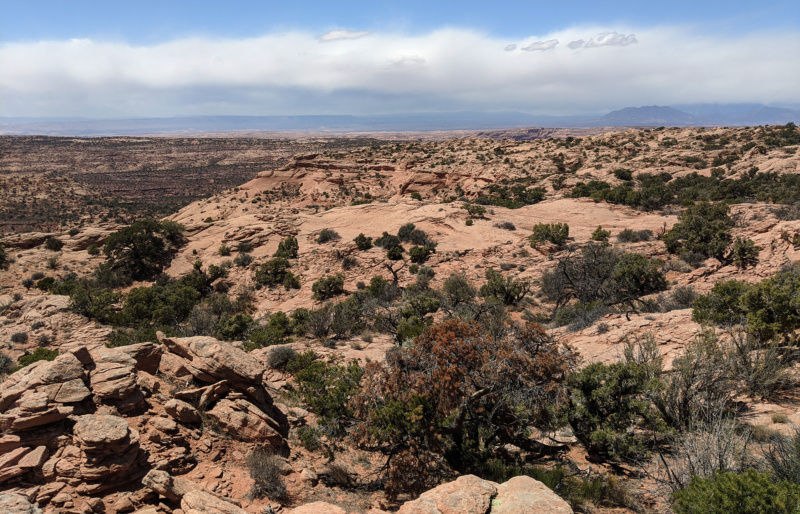
Another great view was down into Castle Creek which is where I was headed. It wasn’t really the direction I wanted to go, but based on the topo map it looked like my best chance for getting through this rough terrain.
The southern edge of the high-point plateau was too steep to descend. I had to contour around a ways before finding a crack/weakness where I could climb down. It wasn’t too bad of a descent, though the rock was a bit crumbly and thus required some careful steps.
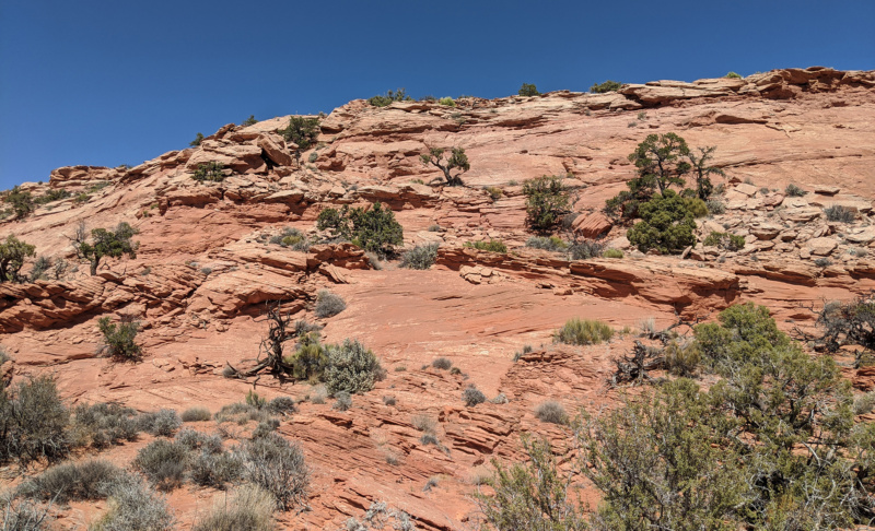
From here I followed the upper benches of the canyon for a ways dropping down a cliffband whenever an easy opportunity arose. Soon I thought I should try to descend into the bottom of the canyon itself so as to not get ledged out farther up.
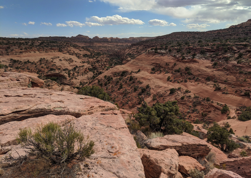
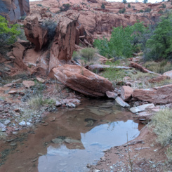
There was a lot of steep slickrock in this area and it took a bit of trial and error, but I finally found a way down into Castle Creek. There wasn’t a “creek” there, but I did find a few pools of water near the spot marked “spring” on the map.
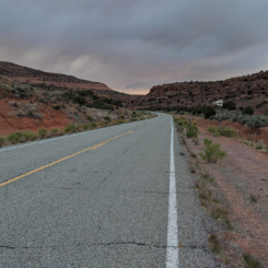
Walking down the rest of Castle Creek was without note. By late afternoon I was out of the canyon and to the road where I would head east toward the Clay Hills area.
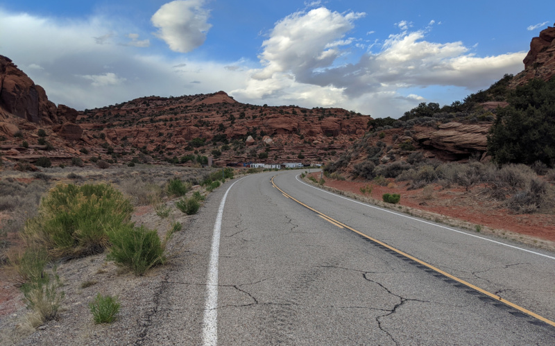
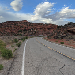
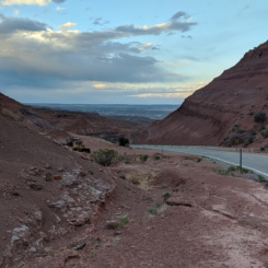
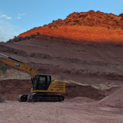
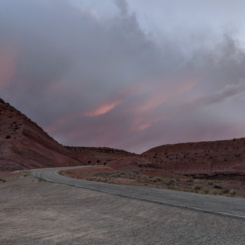
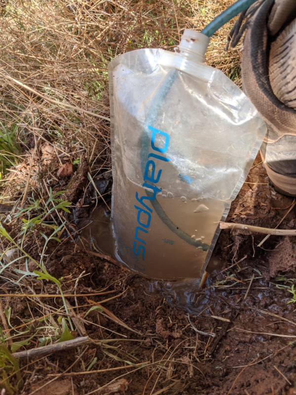
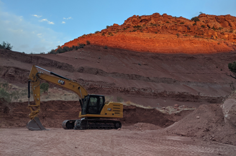
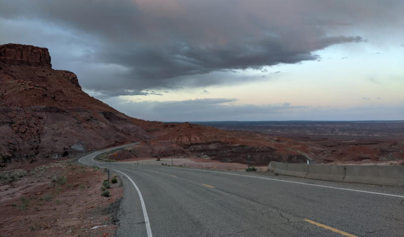
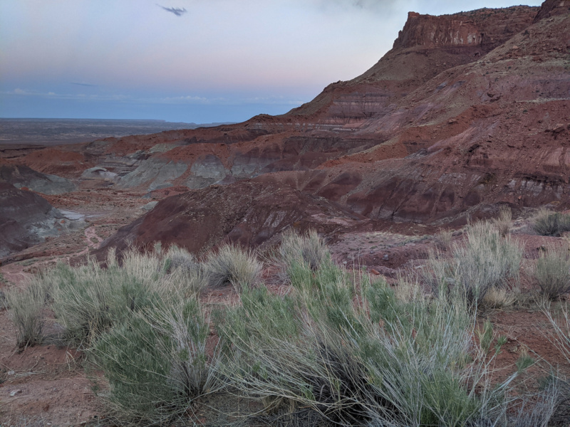
I’d hoped to get more water once I was on the road at the spot marked “Irish Green Spring” — but it seemed to be completely privatized with lots of barking dogs, so I just kept walking. Walking the road was easy and I only had a few cars pass me along the way. Near sundown some storm clouds rolled in and made for some dramatic lighting. Near the top of the pass there was a construction site. I investigated for water and sure enough… there was a small tank where they’d been digging. It looked really bad, but I grabbed some for the filter just in case as my next known source was a ways away. I made camp just off the road among some hoodoos in the mudhills of the area.
Check out the full photo gallery below or continue reading the next section… Into the Grand Gulch.
Photo Gallery:
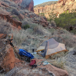
- camped among the dunes and slickrock
- dune entrance to Moqui Canyon
- “skiing” down the dune
- dune in lower Moqui Canyon
- lower Moqui Canyon
- beaver dam in Moqui Canyon
- Moqui Canyon
- cows in Moqui Canyon
- Moqui Canyon
- water over slickrock in Moqui Canyon
- tracks in lower Moqui Canyon
- cool undercut
- another cool undercut in Moqui Canyon
- massive dune
- Moqui Canyon
- Moqui Canyon
- Moqui Canyon
- awesome alcove
- rock art in Moqui Canyon
- rock art in Moqui Canyon
- rock art in Moqui Canyon
- ancestral site in Moqui Canyon
- National Geographic Expedition
- rock art in Moqui Canyon
- rock art in Moqui Canyon
- ancestral site in Moqui Canyon
- another massive dune
- the ATV road down dune
- road up Moqui Canyon
- “Right Fork” of Moqui Canyon
- “Right Fork” of Moqui Canyon
- “Moqui Mushroom”
- boulders in upper “Right Fork”
- “Right Fork” of Moqui Canyon
- upper “Right Fork”
- upper “Right Fork”
- upper “Right Fork”
- dryfall in upper “Right Fork”
- upper “Right Fork”
- the way out of upper “Right Fork”
- the way out of upper “Right Fork”
- old constructed trail
- climbing another dune
- looking back down “Right Fork”
- looking back toward Henrys
- Waterpocket Fold in the distance
- looking back up to high point above Castle Creek
- descending Castle Creek
- descending into Castle Creek
- descending Castle Creek
- pools of water in Castle Creek (which is mostly dry)
- lower end of Castle Creek
- Highway 276 headed east
- Highway 276 headed east
- Highway 276 headed east
- pool at construction site
- sundown at construction site
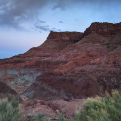
- The Clay Hills
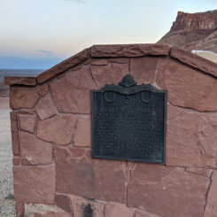
- Clay Hills monument
- Clay Hills monument
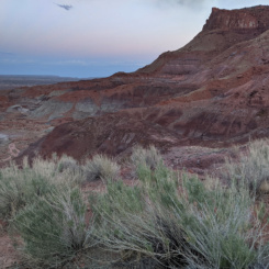
- colorful landscape
- The Clay Hills


