Below is the Daily Journal for this segment of the hike. Alternatively click any thumbnail to jump to:
(previous: Hike Overview || next: Bull Valley Gorge and the Upper Paria)
Part 1: Under the Rim in Bryce
April 20, 2021
Day 1
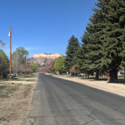
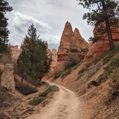
After spending a day and a half driving around southern Utah and putting out caches, I was ready to start walking. I set out from my motel in Tropic mid-morning where it felt strange to be “hiking” through an urban setting several miles from Bryce Canyon itself. But it had to be done as I had arranged to leave my car there so it was the best bet. In the end it was a good easy way to warm up the legs.
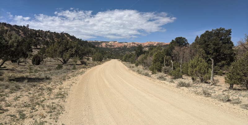
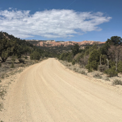
dirt road approaching Bryce Canyon
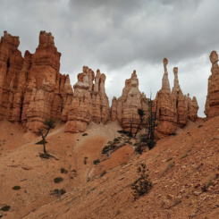
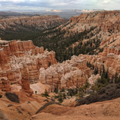
Once at the boundary to the park I followed the well-worn trail to the bottom of the the main Bryce Amphitheater where I could see the distinctive orange hoodoos above me all around. I decided this would be where I would begin recoding video and took some time to set-up and record an intro. This took longer than it should have due to cloudy-then-sunny-then-cloudy-again skies and frequent groups of loud hikers passing by. I’d only seen a few hikers up to this point, but now there were bunches every few minutes. I expected I’d see more people here though as this spot is near the junction of several popular loop hikes. I eventually recorded what I needed and then headed out and up the Peekaboo Trail toward Bryce Point.
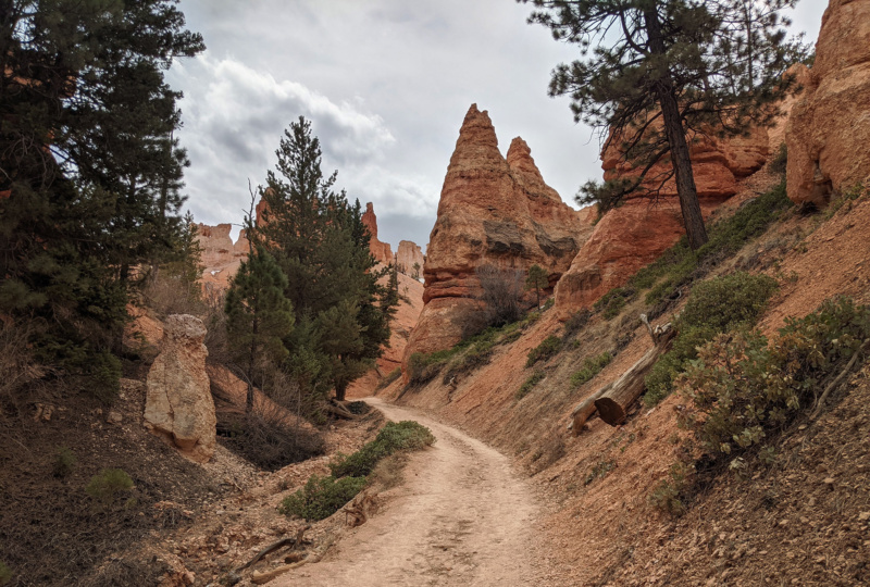
headed up Peekaboo Trail
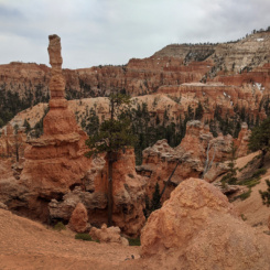
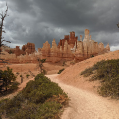
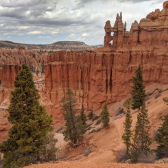
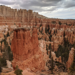
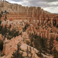
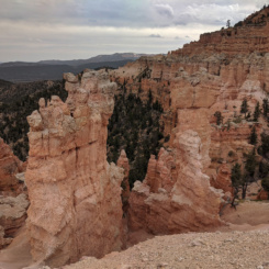
I’ve day hiked several times through Bryce, but had somehow never done the Peekaboo Loop. It was a pretty good trail winding its way through some really impressive hoodoos. It might not be as sublime as Navajo Loop or Queens Garden — but I only saw a fraction of the crowd. There was a real moody vibe to the canyon as it was really socked in with clouds by this point.
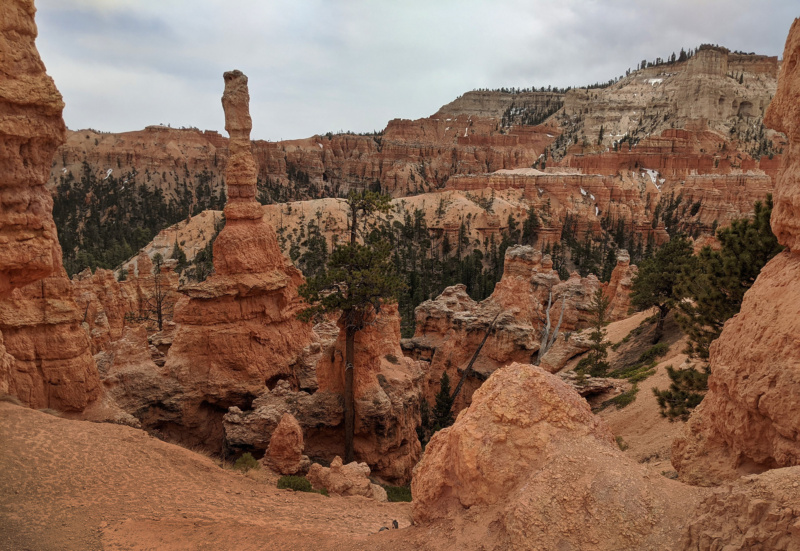
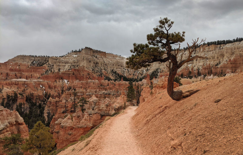
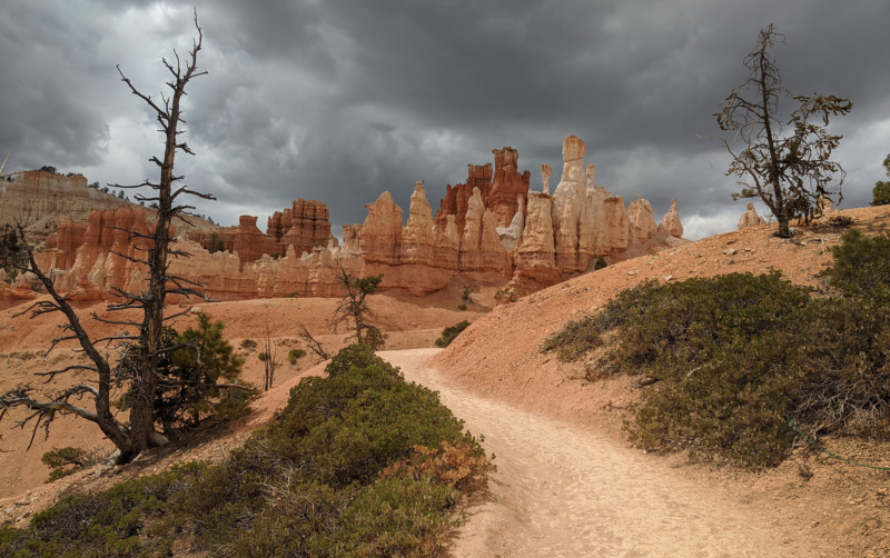
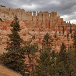
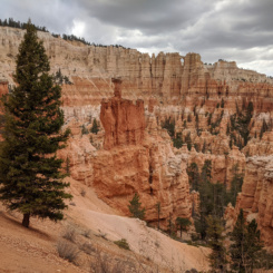
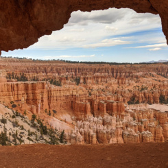
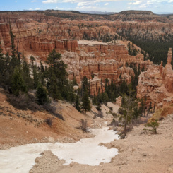
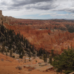
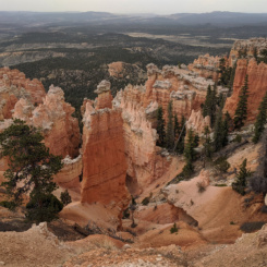
I enjoyed the views of the Wall of Windows before turning at a junction to begin the real climb up toward Bryce Point. There were were patches of snow along the way — but nothing which was a true hazard. It was a tough climb for day one and with a full pack, but that just gave me an excuse to stop frequently and enjoy the incredible views back to the hoodoos as I climbed in elevation.
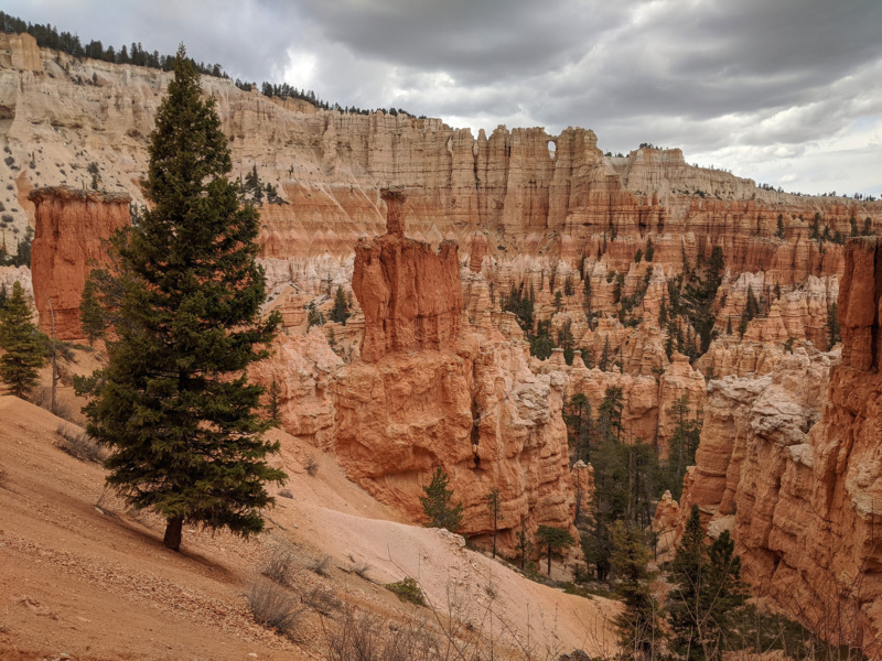
Wall of Windows
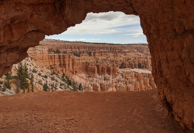
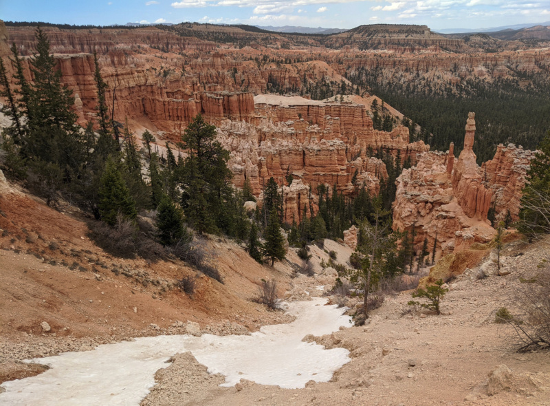
snow gully
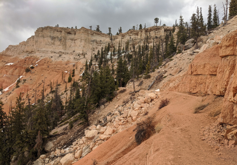
climbing toward Bryce Point
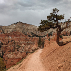
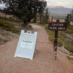
Once at the top I realized why there were so few people on the route below — the trail was marked CLOSED at the junction. Without even going out to Bryce Point proper, I simply turned south and headed down the Under-the-Rim Trail. Soon I was at a good overlook atop some hoodoos where Powell Point dominated the view to the east and Rainbow Point could be seen in the distance to the south.
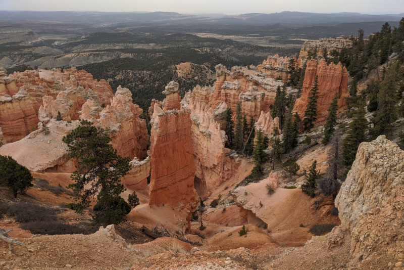
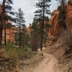
Under-the-Rim Trail
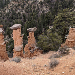
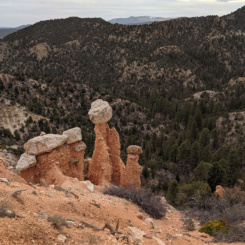
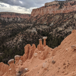
I followed the trail as it contoured around the hoodoos as it rapidly descended. After a short bit of back and forth the route made it out to the ridge with a outcrop of balanced rocks known as The Hat Shop.
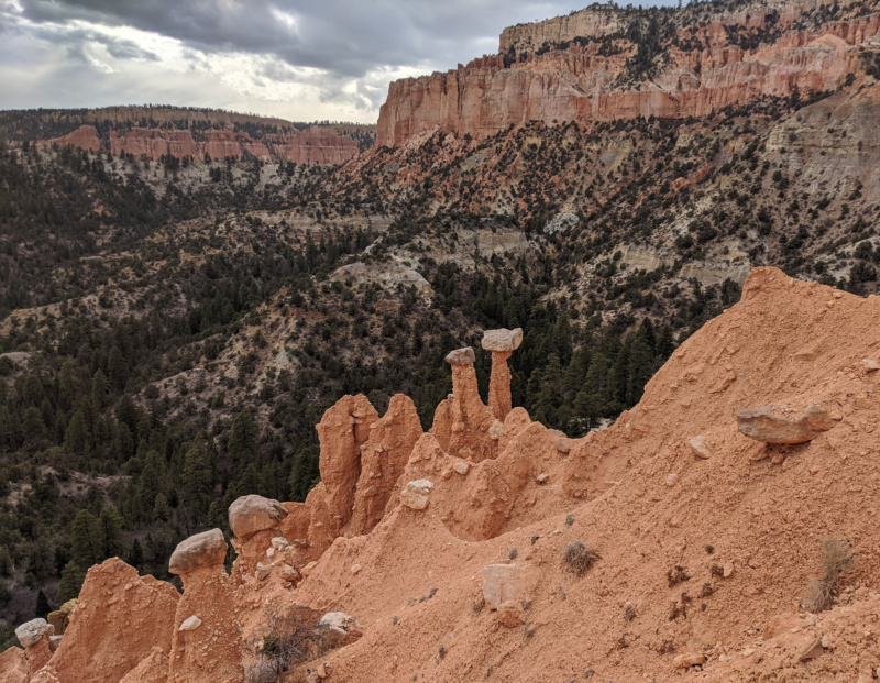
The Hat Shop
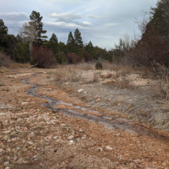
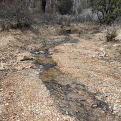
From there the trail dropped into the valley below where I was pleased to see water flowing in the right fork of Yellow Creek. I’d expected to find water farther down — but the sources in Bryce can be off/on at times so it was nice to confirm that water wouldn’t be an issue (though I could have carried much less to this point!)
After passing a few park-designated camping areas I actually left the tail and headed east and soon intersected the main fork of Yellow Creek (also flowing.) As I followed the creek down I saw a wild turkey up ahead of me. It took off trotting in a panic to get away as fast as it could. From that point I noticed numerous turkey tracks in the mud along the creek.
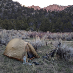
After a mile or so I was outside the park boundary where I made camp. Camping inside the park requires a permit for a designated spot AND requires carrying a bear canister for your food. Due to this requirement I opted to camp outside the park and in the Dixie National Forest instead.
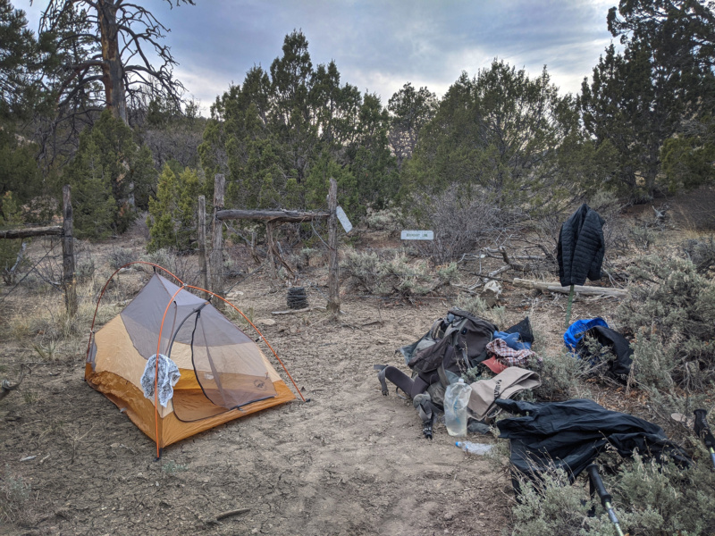
camp just outside park boundary
Day 2
Woke up to a sunny day and followed Yellow Creek back up and into the park — no turkey sightings this time. Before long I was back on the Under-the-Rim Trail and soon after that at the upper end of the creek at another designated camping area. I stopped here to fill up on water.
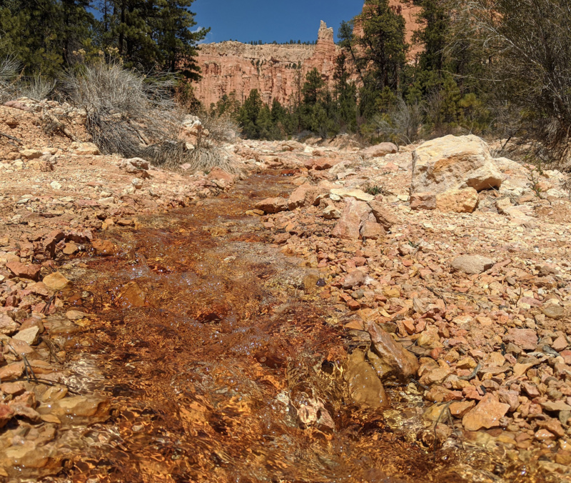
Yellow Creek
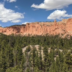
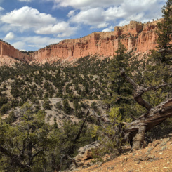
From this point the trail climbs the hills to the south and then true to its name it continues under the rim just below the orange hoodoos. After contouring around a few bends I dropped into the Sheep Creek drainage.
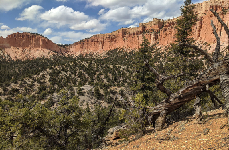
Under-the-Rim Trail
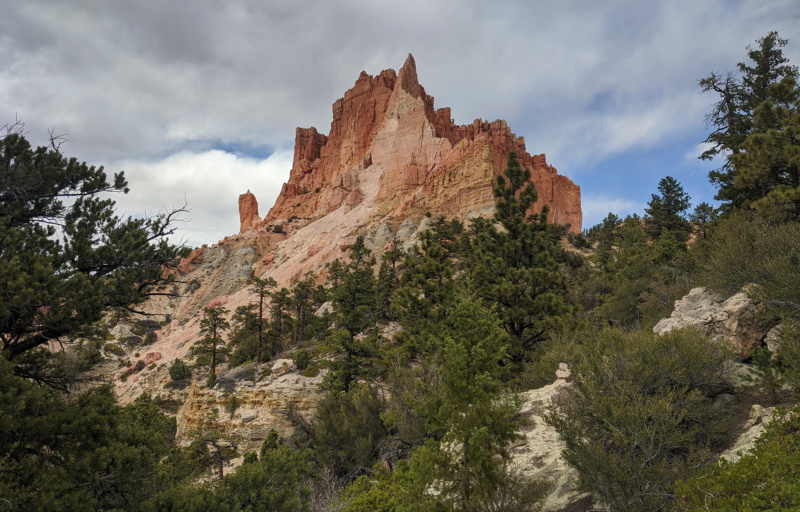
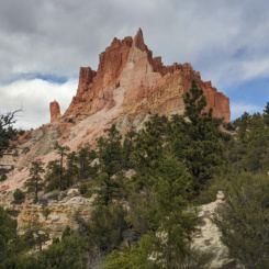
massive outcrop
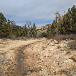
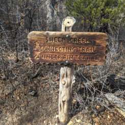
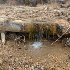
At this point I left the Under-the-Rim Trail and headed south down the Sheep Creek drainage. A nice flowing stream formed as I made my way down the valley. The trail moved away from the streambed for a ways and then not long after crossing the park boundary I realized the stream had run dry! Not sure if there’d be another source ahead, I decided to drop my bag and backtrack with my water jugs to fill up.
Farther down canyon I did see more water at the junction with Mud Canyon — but as intimated by its name, it was not a clear source. It too quickly dried up so I’m glad I backtracked to get the water that I did.
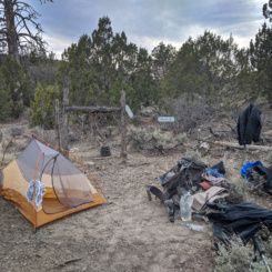
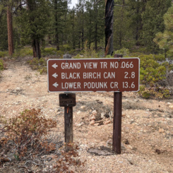
Before long I was at the junction of Noon Canyon and I headed upcanyon on the Grand View Trail (the Dixie National Forest’s long-distance trail which winds around the Pink Cliffs just outside the national park boundary). I didn’t go far at all before I decided to camp for the night. I spent quite a while looking for a nice spot under the hoodoos — but everything was too brushy and/or rocky. I ended up a bit farther away from the hoodoos and in a clearing surrounded by sagebrush.
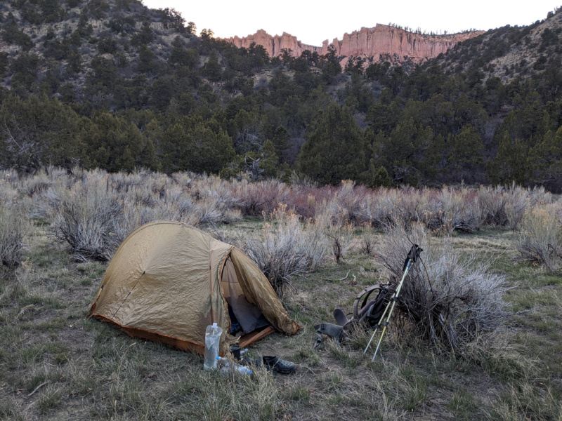
camp near Noon Canyon
Day 3
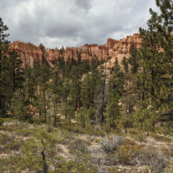
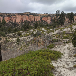
Woke up to a cloudy and cool morning. Soon after leaving camp the route began climbing as it made its way through the forest headed west. Once again I was met with patches of snow — but nothing which slowed my progress. As I crested the hills and enjoyed the views of the Pink Cliffs once again — it started to snow! It began slowly, but then quickly picked up pace with large flakes filling the sky. In less than 10 minutes the whole thing was over and barely left a trace on the ground.
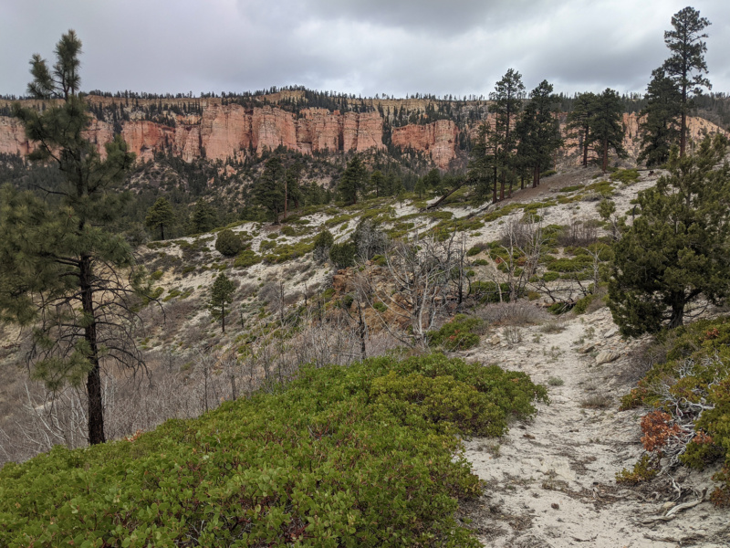
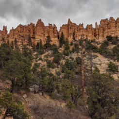
back toward Pink Cliffs
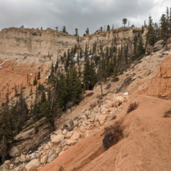
I followed the route back down into the next gulley. As I descended the trail was easy to lose as it crossed some scree and soon several faint use trails emerged all going different directions. I eventually found myself back on the proper route at the upper end of the Willis Creek drainage. Here there was a junction where I could get back on the Under-the-Rim Trail. I’d considered doing this as I bet it would provide better views, but instead I opted to stay on the quicker Grand View route as it made its way down through the forest along the wash. Soon the route was really well defined as this used to be an old road. I saw another big turkey along the way. Much like its Yellow Creek cousin — it was camera shy and quickly fled before I could snap a pic. I got a good enough look at it though to be truly impressed by its size. Standing at nearly 3′ high at first glance it really looked like a mammal of some sort — not a bird!
When I got to the junction of Black Birch Canyon I decided to leave the Grand View Trail. I had originally planned on continuing up toward Rainbow Point before dropping into the source area of Bull Valley, but not wanting to do another climb and possibly deal with more snow crossings I decided to continue down Willis Creek to another known water source before looking for an alternate cross-country route.
Before long I was down at where the water flows in Willis Creek just before a parcel of private property. As I filtered some water it began to hail on me. From this spot I was going to head south on an exploratory cross-country route to skirt Horse Mountain and into Bull Valley. I wanted to do this to A) avoid the private property (even though the road acts as an easement) and B) to see the upper end of Bull Valley Gorge and C) just to try something new. I set out up the drainage heading south toward the saddle between the two valleys.
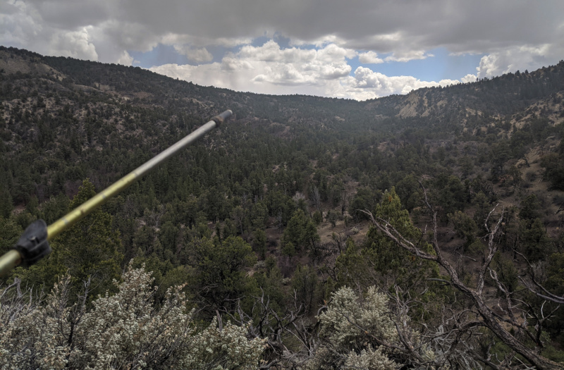
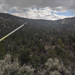
looking toward route near Horse Mountain
I soon found that the bottom of the gulch itself was too brushy and thus climbed up a bit higher and was able to pick up occasional horse/cow/wildlife trails which made the climb easier. Within an hour or so I was up at the top of the saddle.
I took a break up on top and opened my bag and grabbed a snack and my solar panel to do some charging. When I did I was dismayed to see my battery power bank missing from its designated spot. I rummaged through my pack for few minutes hoping to find it to no avail and determined I must have somehow lost it earlier in the day. I was frustrated! It wasn’t a complete disaster though as I could still charge my items directly — but having a high-efficiency small battery bank is so handy because I can charge it during the day and then in the tent at night I can determine which of my devices needs the juice the most and charge those via the battery. It was a bummer and a product of the organization chaos that is common in the first few days of a big hike. Luckily I had another one stashed in the cache at Hole-in-the-Rock Road so I’d just have to make due for another 10 days or so.
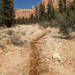
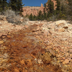
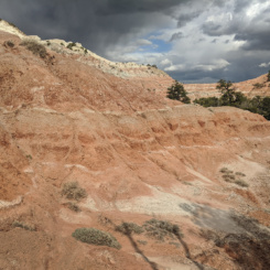
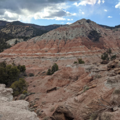
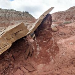
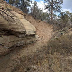
Headed down the south side of the saddle I was quickly into the next steep-sided dry gulch. After passing some cool geology consisting of flakey/chipped rocks I eventually came to the junction of Bull Valley which was flowing. From this point on down the canyon became much more difficult to hike. Much of the area around the stream was really choked with brush and trying to walk in the stream itself was just a mud-soup mess. It was a slow go. But, soon I climbed the northern bank to explore some more interesting geology that I knew was in the area. Scouting this route on Google Earth I spotted an outcrop of orange and white mudhills that looked very cool. I could tell I was close when a break in the brush revealed the colorful hills just ahead.
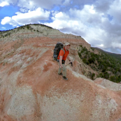
Walking through the mudhills was a delight — though not an easy task. The ground was hard requiring constant attention to footing and the hills just steep enough to make direct line through the area impossible. After one big climb which I thought was the crux — I realized the far side was an impossible cliff and I’d have search for another route around. All-in-all it was a fun little area to explore that I bet not too many people get to see. As cool as this area is, I’m not really sure it’s worth the effort to get there considering its remoteness and difficulty of travel through the surrounding terrain.
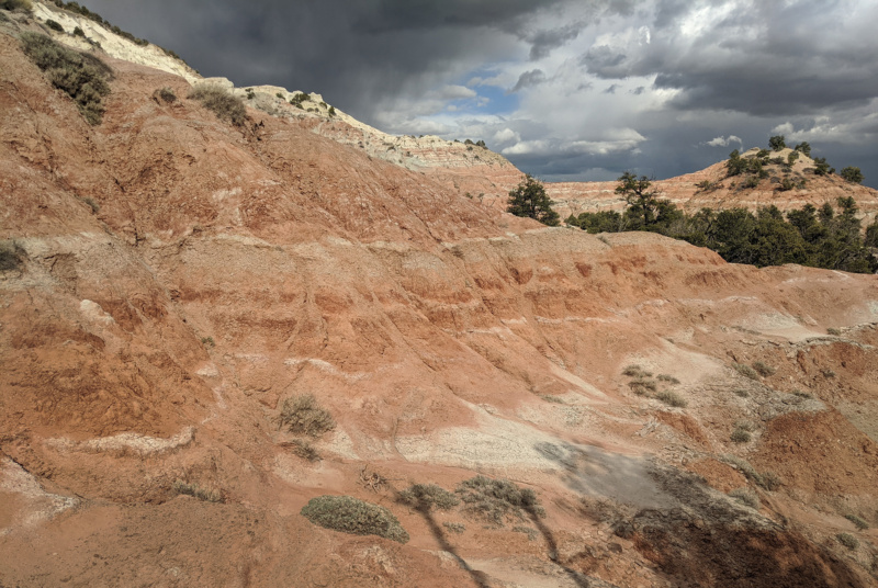
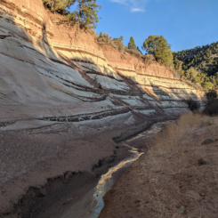
striped cliffs
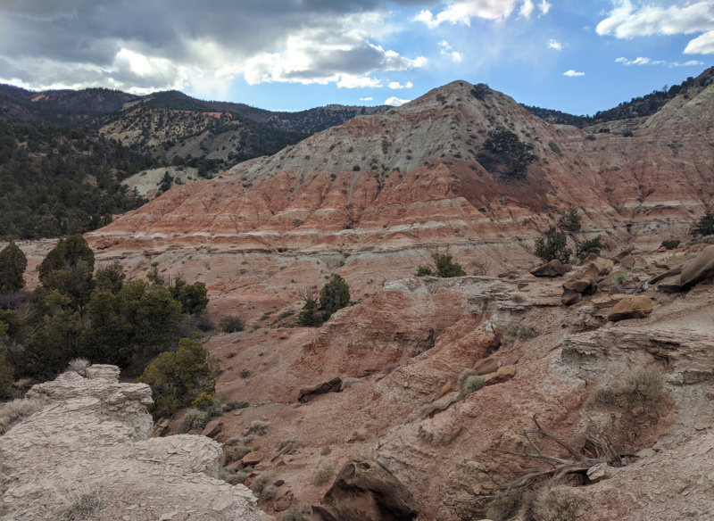
striped cliffs
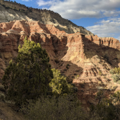
Farther down the canyon the streambed opened up a little and travel along the stream was much easier. There was also a few bends with some more really cool geology.
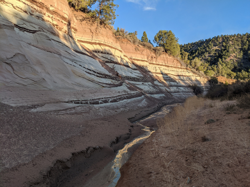
upper Bull Valley
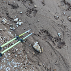
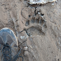
Soon I began to see many tracks along the stream including what appeared to be BEAR tracks. I was surprised to see them so far down the drainage (ie lower elevation compared to Bryce.)
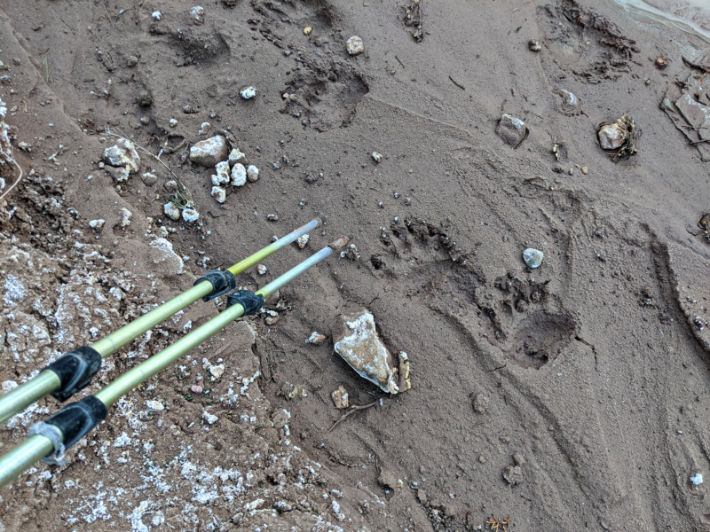
bear tracks
I could tell the water was beginning to dry up so I stopped and filled up once again. Then, after a few more miles of hiking down the canyon, I found a place to camp. It would be a semi-chilly night and the thought of bears traipsing around nearby definitely filled my thoughts as tried to fall asleep in my tent.
Check out the full photo gallery below or continue reading the next section… Bull Valley Gorge and the Upper Paria.
Photo Gallery:
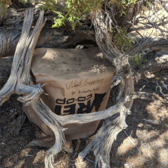
- Day 0: putting out caches
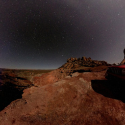
- Day 0: night along the Burr Trail
- Day 1: walking out of Tropic
- dirt road approaching Bryce Canyon
- at the park boundary
- bottom of Bryce Amphitheatre
- headed up Peekaboo Trail
- Peekaboo Trail
- Peekaboo Trail
- Peekaboo Trail
- Peekaboo Trail
- canyon
- Wall of Windows
- Wall of Windows
- climbing toward Bryce Point
- tunnel view
- climbing toward Bryce Point
- climbing toward Bryce Point
- climbing toward Bryce Point
- snow gully
- panorama
- climbing toward Bryce Point
- unexpected closure
- Under-the-Rim Trail
- looking south toward Rainbow Point
- under the rim once again
- The Hat Shop
- The Hat Shop
- The Hat Shop
- Yellow Creek
- camp just outside park boundary
- Yellow Creek
- Yellow Creek
- Yellow Creek
- Under-the-Rim Trail
- massive outcrop
- Under-the-Rim Trail
- old sign
- upper Sheep Creek
- camp near Noon Canyon
- looking down to Noon Canyon
- back toward Pink Cliffs
- more modern sign
- Willis Creek
- looking toward route near Horse Mountain
- striped cliffs
- striped cliffs
- striped cliffs
- hoodoo
- sun going down
- upper Bull Valley
- upper Bull Valley
- bear tracks
- track
- upper Bull Valley


