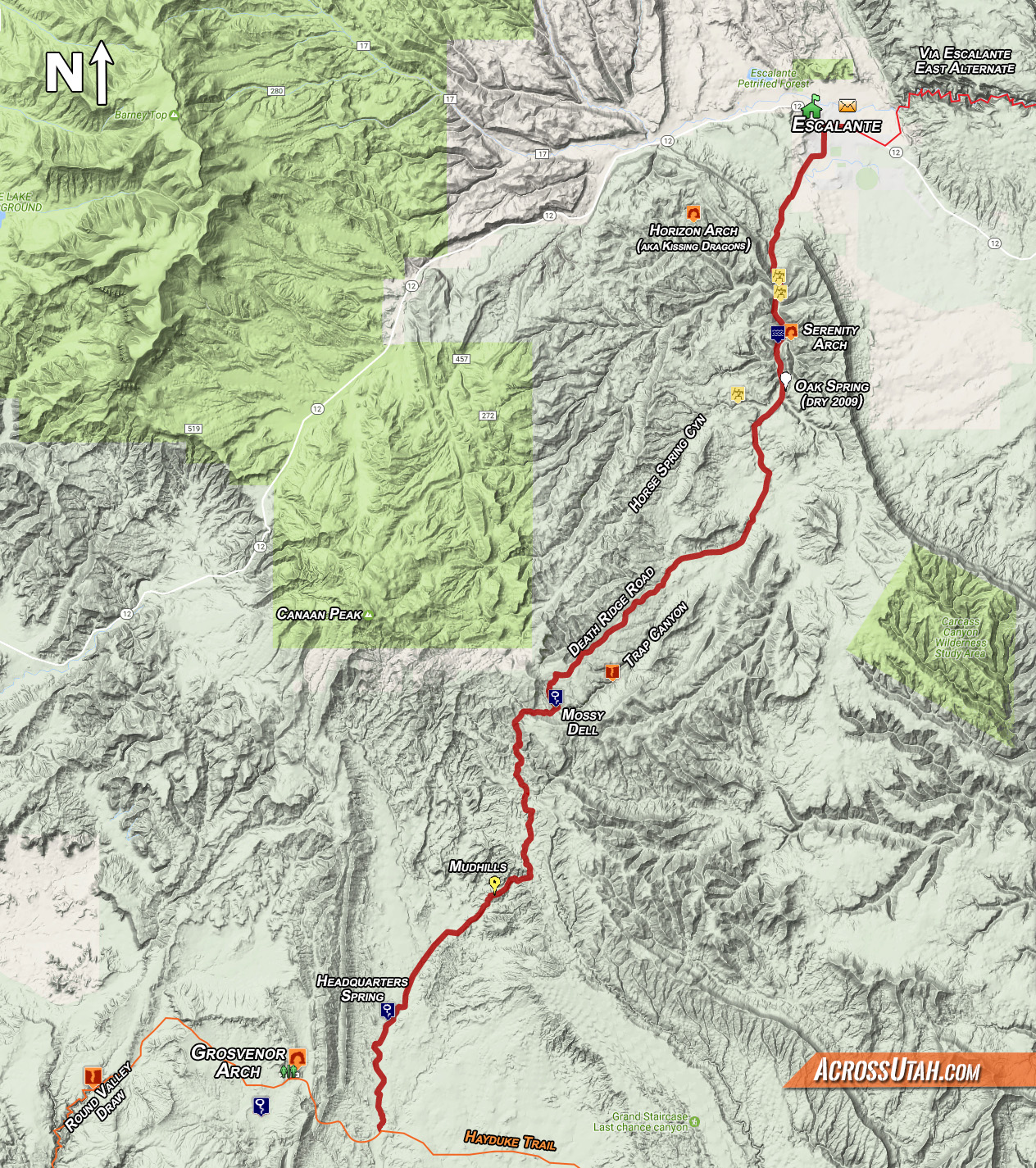
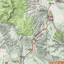
— click map for full resolution —
Update to the Hayduke Trail Reference:
I covered the pros/cons for skipping Section 6 of the Hayduke Trail in my Via Escalante East Alternate description. This alternate is for those who are in Escalante and wish to skip most of Section 7 instead of trying to hitch or otherwise get 40+ miles down Hole-in-the-Rock Road to re-connect with the official Hayduke. There are numerous ways one could do this alternate, but what I present here is probably the most straightforward option. It’s only 35 miles to reconnect with the Hayduke in Wahweap Wash — a savings of nearly 40 miles. It’s definitely a much easier way to go, but admittedly one is sacrificing a unique part of the Hayduke for this convenience.
Pros: re-supply convenience, easier/faster, water not as much of a concern.
Cons: Skipping going over 50-Mile Mountain, Navajo Canyon weirdness, Paradise Canyon
Head south out of Escalante on the Smoky Mountain Road. As the road cuts into the Straight Cliffs you’ll likely see water begin to run in the wash. There are some petroglyphs on some boulders near the road.
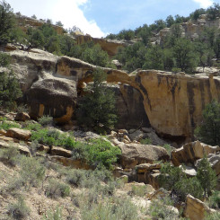
A little farther up Serenity Arch is just a short distance up a side ravine on east side of the road. Water may begin to dry up around here so you definitely want to fill up. Oak Spring shown on the Topo south of this point was dry in 2009 and again in 2022.
Just past Oak Spring Horse Spring Canyon comes in from the west. I haven’t hiked this canyon*, but I’ve heard good things and it might be a more exciting alternative than the road.
* UPDATE: Now I have hiked this canyon from its very top and definitely recommend it as the way to go instead of the road. It’ll be slower, but much more scenic and seemingly remote. One could follow it until it intersects another road which could be used to connect to Death Ridge Road, or continue up and under Canaan Peak. I’ll be updating my maps soon with this suggestion.
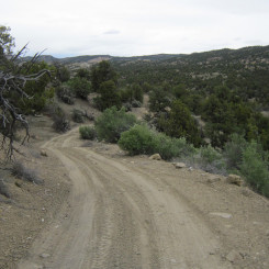
Continuing on the road another few miles you will enter the area known as Little Valley and soon be at a junction where one should turn right onto Death Ridge Road.
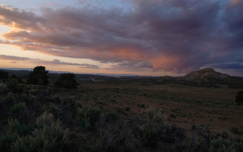
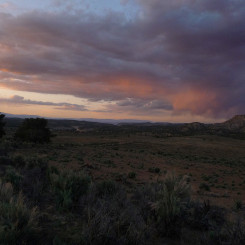
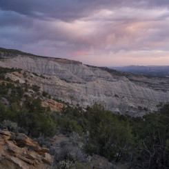
sunset on Little Valley area
This is a well-traveled road and it’s a fairly quick walk to climb up the incline. Near the top of the hill, take a less-traveled road which branches south toward Mossy Dell.
Note that Trap Canyon runs just south of the the Death Ridge Road. It’s another canyon that I’ve not hiked, but have heard is nice. In theory it should be possible to walk up this canyon and connect with the road at Mossy Dell.
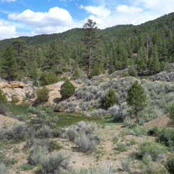
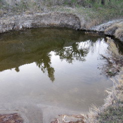
Mossy Dell is one of the few water sources in the area. When I was there it had ample water, but unfortunately the cows had access to it and thus is tasted less than ideal.
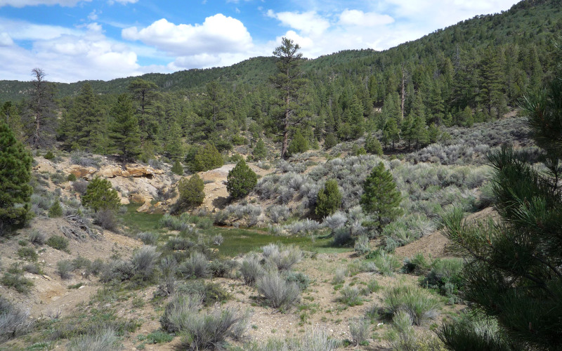
Mossy Dell spring
From here continue following the rough road west, then south as it swings around the upper reaches of Right Hand Collet Canyon. The road turns east for a while before turning south again at an fork near the top of a hill. These roads aren’t shown on many maps so it’s important to kinda know where you are going!
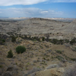
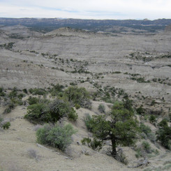
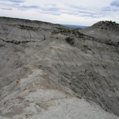
Soon the expansive mudhills will come into view to the west. A sharp eye will even spot Mollies Nipple in the distance.
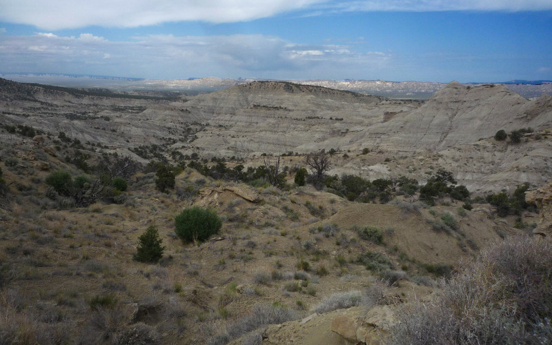
The Mudhills (note prominent walking ridge in center)
Soon the goal will be to get down into the mudhills. It’s possible to follow any one of a number of washes SW, but they meander like crazy. I actually found it better to climb and then follow the prominent ridge which separates Blue Wash from the upper branches of Wahweap Wash. Not only do I think this is quicker, but the views are great in every direction.
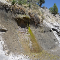
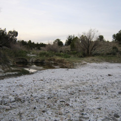
As the ridge comes to an end, it’s possible to get back down into the Wahweap Wash where it’s not so windy. Here it’s just a short distance to the junction with main Wahweap and then just about 2 miles down to Headquarter Spring which has always been reliable for me in the spring season. You will see a few dripping walls before coming to the actual spring.
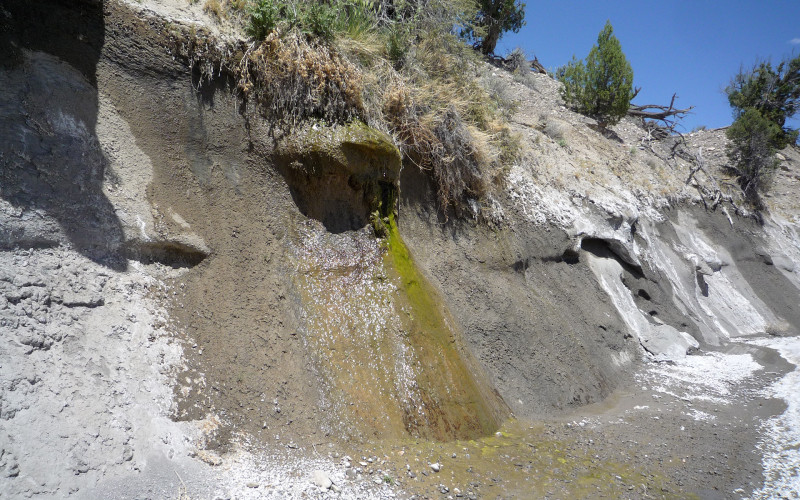
dripping wall just north of Headquarters Spring
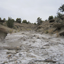
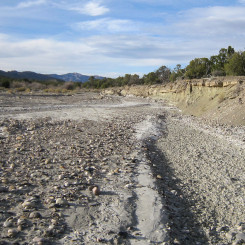
South of HQ Spring just follow Wahweap Wash down another 3 miles or so where you will re-connect with the official Hayduke Trail at where a road crosses the wash.
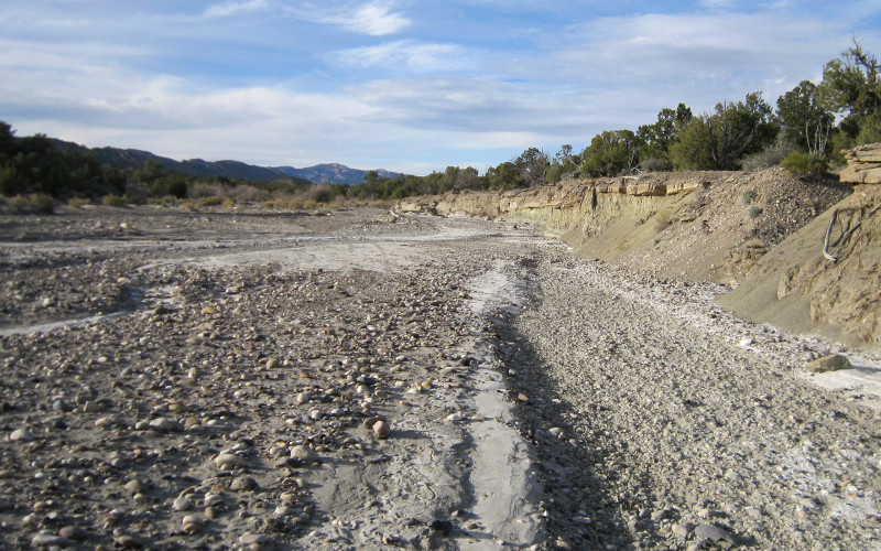
Wahweap Wash (Canaan Peak in bg)
Now back on the official Hayduke just follow the road west through the Cockscomb and then past Grosvenor Arch to the end of the section at upper Round Valley Draw.
Photo Gallery:
-
- area map
-
- Serenity Arch
-
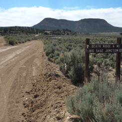
- junction of Smoky Mountain and Death Ridge roads
-
- sunset on Little Valley area
-
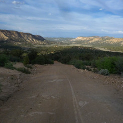
- Death Ridge Road looking east
-
- Mossy Dell spring
-
- road south of Right Hand Collet Canyon
-
- Paradise Peak
-
- The Mudhills (prominent walking ridge in center)
-
- The Mudhills
-
- walking the ridge of the Mudhills
-

- Mudhills
-

- above Blue Wash
-
- upper branch of Wahweap Wash
-
- dripping wall near Headquarters Spring
-
- Headquarters Spring
-
- Headquarters Spring
-
- Wahweap Wash (Canaan Peak in bg)
-
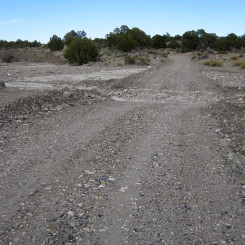
- road crossing Wahweap Wash