


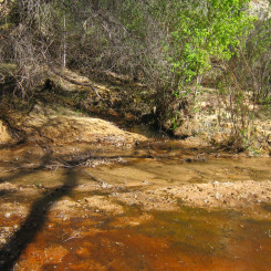
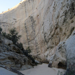
Stone Donkey Canyon is a short tributary to Hackberry Canyon in the Grand Staircase-Escalante National Monument. It’s a short diversion for anyone hiking Hackberry including those on the Hayduke Trail. It’s easy to miss the junction with Hackberry as it’s extremely overgrown. Once through the initial wall of vegetation it’s not that bad, through it remains somewhat brushy until past the spring in the lower end of the canyon.

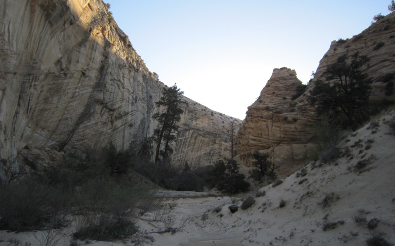
Lower Stone Donkey Canyon
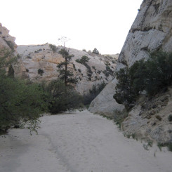
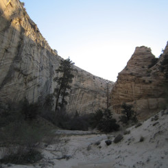
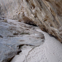
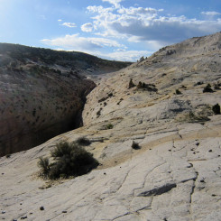
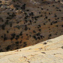
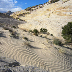
It’s dries up above the spring and then the middle portion of the canyon features a white sandy corridor walled in by tall Navajo sandstone.
Stone Donkey Canyon
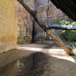
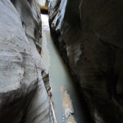
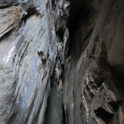
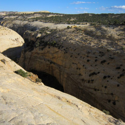
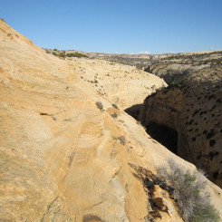
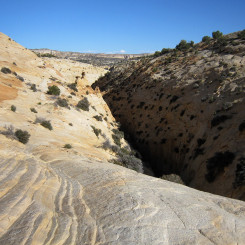
In less than two miles from the Hackberry, Stone Donkey narrows down into a tight, dark slot canyon. The slot can can be explored from the bottom, or via a technical route from the top. The canyon frequently has pools at its lower end and can be nearly pitch black in one section.
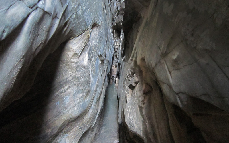
in Stone Donkey Slot
-
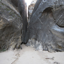
- Stone Donkey Slot begins
-
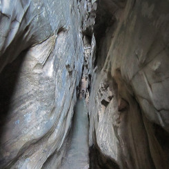
- in Stone Donkey Slot
-

- in Stone Donkey Slot
-
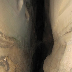
- dark Stone Donkey Slot
To access the top of the canyon one must backtrack to the middle of the white corridor section and find the lone exit from the canyon on the northern side. Climb up the steep gully and then follow the slickrock up and around the canyon as it forms a slot. The last part of this route includes a semi-sketchy slickrock traverse and is not advised for those with fear of falling/exposure. A longer/higher route is possible, though it’s still a steep descent on the northwestern end.
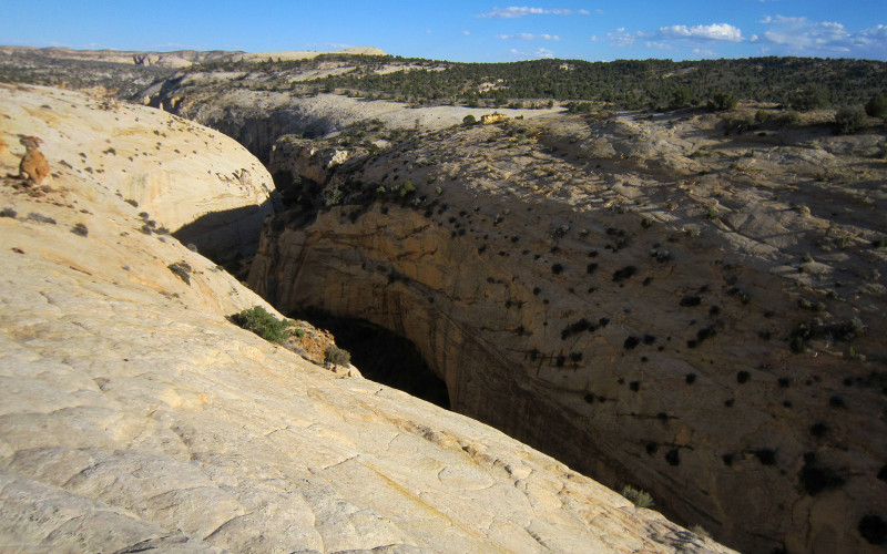
northern side of Stone Donkey
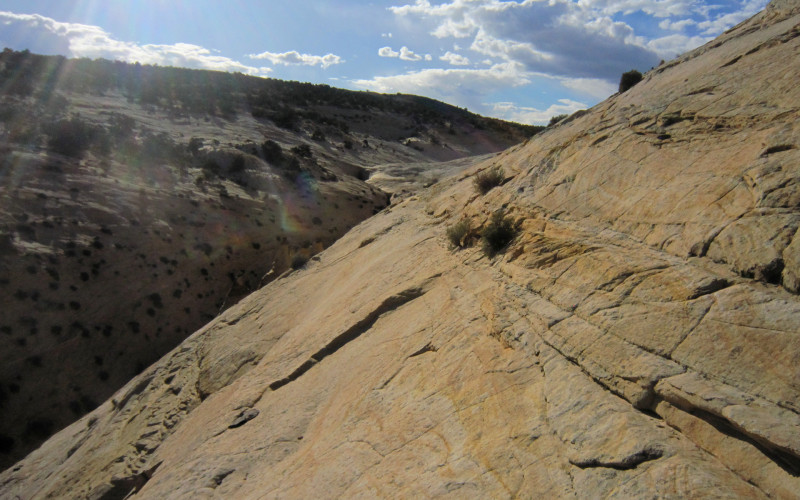
slickrock traverse
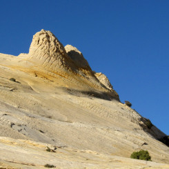
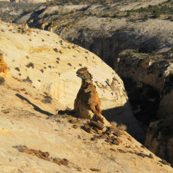
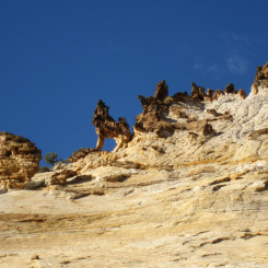
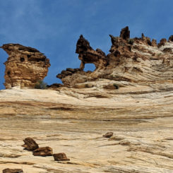
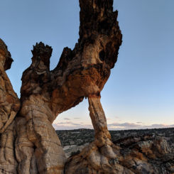
There are many interesting rock formations along the northern rim of the canyon and in the general area. Near the top-end of the slot is what I dubbed “Howling Wolf” Arch on my first visit back in 2009. Turns out that THIS is actually the Stone Donkey for which the canyon is named (according to guidebook author Kelsey.) From other angles the formation does indeed look like a donkey (see gallery.)
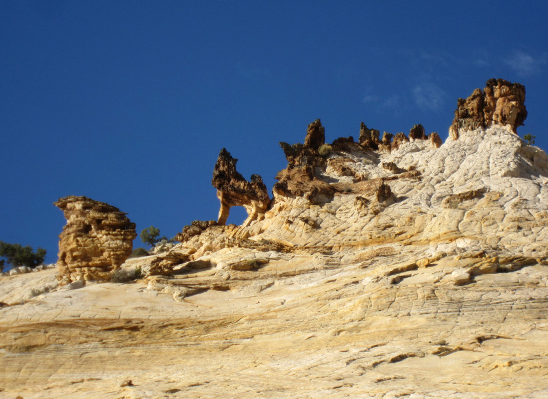
“Howling Wolf” Arch — aka the Stone Donkey itself
From above the slot one can continue following the obstacle-free wash toward the colorful sandstone near upper Snake Canyon or go cross-county where it’s possible to connect to upper Hogeye Canyon and then descend to the Upper Paria. One can read more about this option and see more photos in my Stone Donkey to Hogeye page.
Video Reference:
2012 Bryce to Moab* Hike (Upper Stone Donkey to Cottonwood Road)
2019 Hackberry Canyon and above the Upper Paria (lower Hackberry, upper Stone Donkey, Lower Death Valley Trail to Yellow Rock)
Gallery:
-
- entrance to Stone Donkey canyon
-
- Lower Stone Donkey Canyon
-
- Stone Donkey Canyon
-
- Stone Donkey Canyon
-
- Stone Donkey Canyon
-
- Stone Donkey Canyon
-
- Stone Donkey Slot begins
-
- in Stone Donkey Slot
-
- in Stone Donkey Slot
-
- in Stone Donkey Slot
-

- in the slot | Stone Donkey Canyon ⮞⮞⮞
-
- in Stone Donkey Slot
-
- dark Stone Donkey Slot
-
- route along north side of Stone Donkey
-

- mushroom rock north of Stone Donkey
-
- Yellow Nub
-
- T-Rex north of Stone Donkey
-
- northside of Stone Donkey
-

- Stone Donkey Slot bypass
-
- looking down along bypass
-
- Stone Donkey Slot bypass
-
- Stone Donkey Slot bypass
-
- “Howling Wolf” Arch — aka the Stone Donkey itself | Stone Donkey Canyon ⮞⮞⮞
-
- another view of the Stone Donkey
-
- backside of the Stone Donkey | Stone Donkey Canyon ⮞⮞⮞
-
- above the drop | Stone Donkey Canyon ⮞⮞⮞

What are the gps coordinates for the Stone Donkey plz?
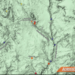
Heya! The Arch or the Slot… or just the canyon? Check out my Master Map as the placemarks there are fairly accurate. Also… I’ll add an overview map to the gallery.