


Below is the Daily Journal for this segment of the hike. Alternatively click any thumbnail to jump to:
hike overview
segment video
interactive map
photo gallery
(previous: Into the Grand Gulch || next: Beyond the Bears Ears)
Part 8: Upper Grand Gulch to the Bears Ears
May 15, 2021
Day 26
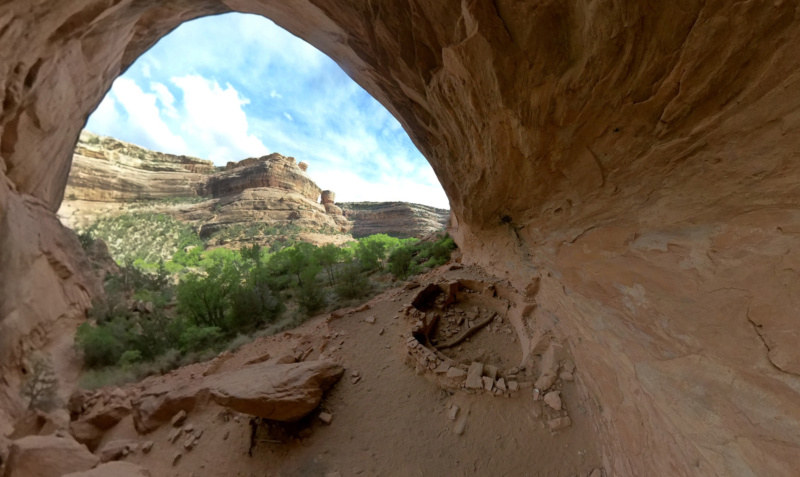
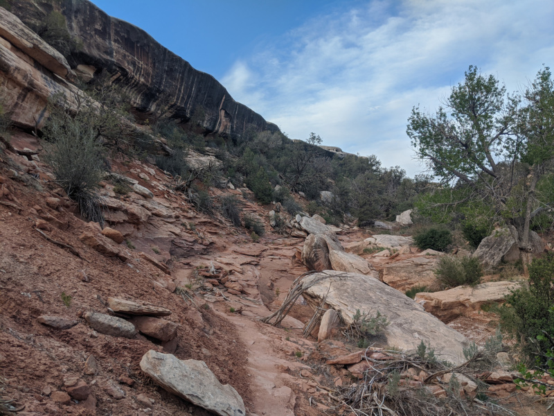
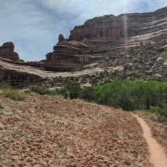
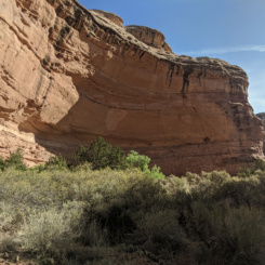
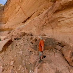
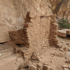
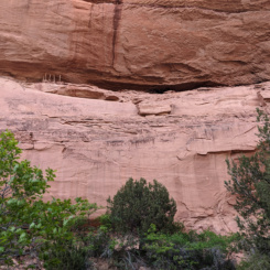
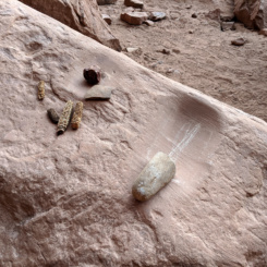
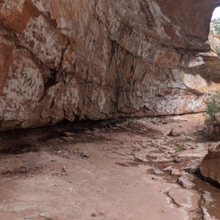
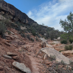
Continuing up canyon through the Grand Gulch in the morning the route continued to be well defined and free from much of the brush so common in the lower canyon. Ever since Sheiks Canyon I was enjoying the walking much more. I soon passed another archeological site within a large alcove. There was a small ruin down at ground level and one or more up above higher on the ledges. I believe this is the site Kelsey refers to as Two-Level Ruin — not to be confused with Split-Level Ruin which is just a bit farther up the canyon. I wondered if this was an error in my notes, but once there I realized there are indeed two distinct sites.
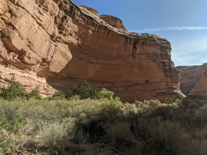
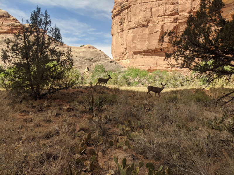
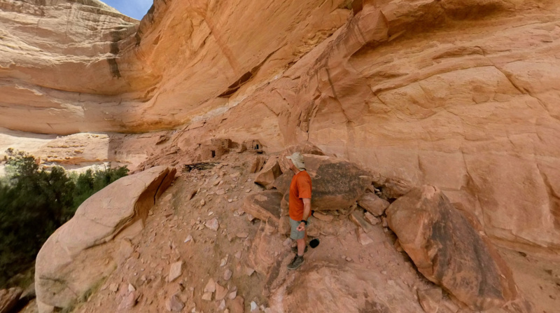
And… after just walking up around just a bend or two in the canyon I was at Split-Level Ruin site. Several well-worn trails exited the wash to cross a sagebrush-filled bench over to another alcove. As I headed that was I could already see multiple structures at the site, so it was obvious that it was a good one. Just below the site there are several existing spots to camp. I dropped my pack at one of these and got ready to go look at the site, but before doing so I realized somebody was looking at me! Two deer were nearby and checking me out. They casually walked by grazing as they went — keeping a safe distance, but by no means spooked by my presence.
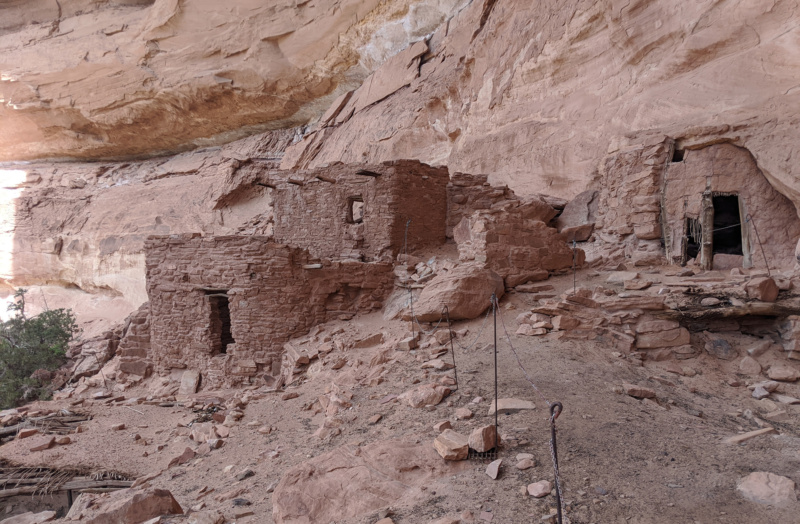
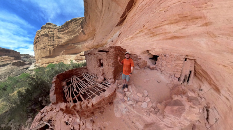
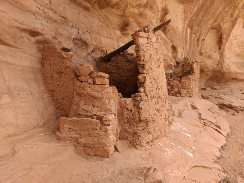
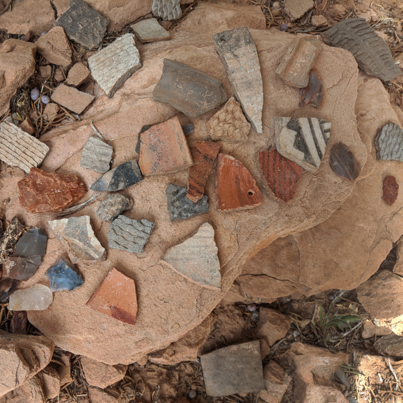
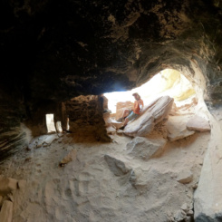
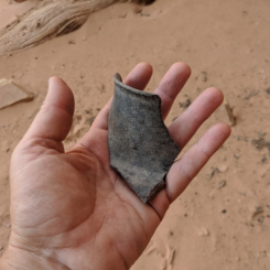
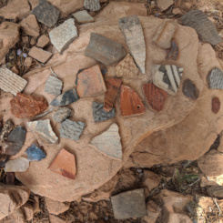
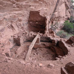
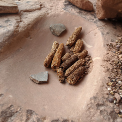
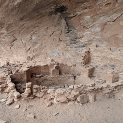
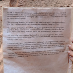
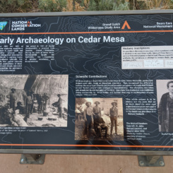
After that I climbed up and checked out the site which was really impressive and the most-impressive I’d seen so far! (It’s funny how I kept thinking this, but the sites did seem to get better and better as I worked my way up the canyon.) According to the brochure what’s seen here is mostly from the Puebloan Peoples, though there is evidence of the Basketmakers also inhabiting this site first. The centerpiece really is the Split-Level Ruin itself, though there are also a few granaries and other structures one of which is believed to be a kiva. Many pottery sherds are found here too, though a central midden area is roped off to keep visitors from trampling through. A very cool site.

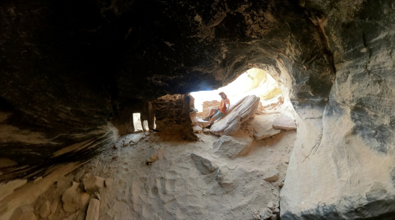
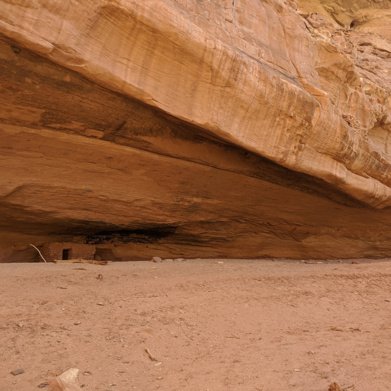
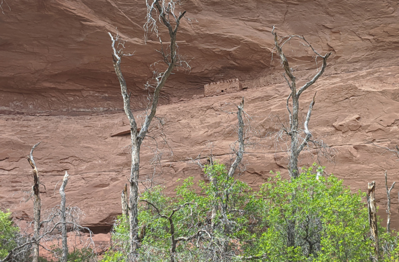
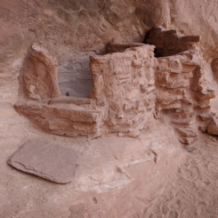
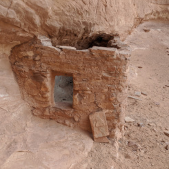
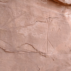
Just another bend or so up the canyon I spotted another dwelling on the wall. I was a bit surprised as I didn’t have anything marked for here on my map. I almost skipped it, but decided to go up and check it out as it wasn’t too far from the wash. I’m glad I did — there were several small structures as well as quite a bit of more potsherds and rock art.
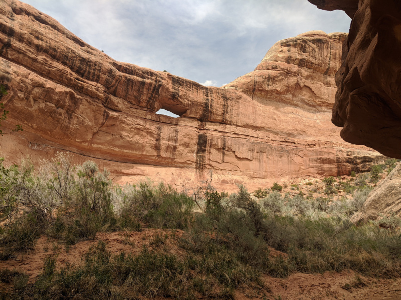
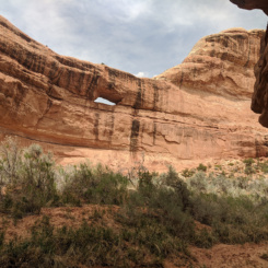
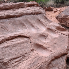
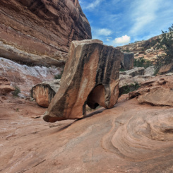
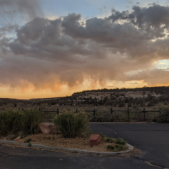
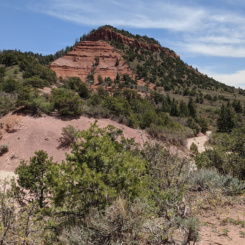
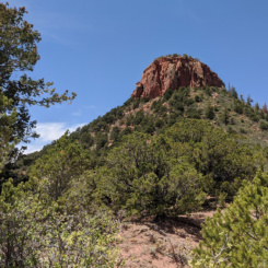
In the next 5 miles I passed several more potential sites. Some I could see at a distance and others just had inviting trails leading away from the wash, but… again my “ruin fatigue” made me feel the need to make up some time so I kept walking. There was also supposed to be a few more springs/pools along this stretch — but those I did NOT find. One small damp patch of mud was all that I saw. The next landmark of note was Stimper Arch and there was no missing it as it dominated the view once I got close.
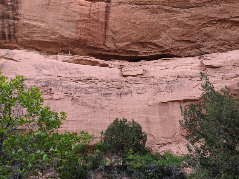
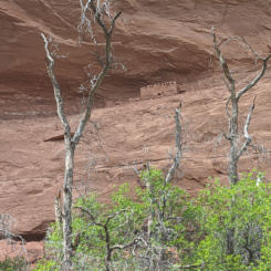
Around the corner from the arch I spotted another nice ruin up high in the alcove. It looked like a good site, but I didn’t go explore. I wanted to get up to the next bend where I hoped to find Turkey Pen Ruin. I heard the voices of two loud guys as I was walking, but never did see them. Then that next bend I climbed up high into the alcove. It was a tough scramble up over some boulders. Once at the top I found… nothing. 🙁 Turns out my notes were slightly off and in hindsight I believe the first site I passed by was actually Turkey Pen Ruin. I didn’t have the energy to go back, so instead I pushed onward toward the junction of Kane Gulch.
Back down in the main canyon I soon saw a young lady on the bench opposite from me. I yelled out “hello” and seemed to somewhat startle her. I might have unknowingly interrupted a bathroom break as she was walking back to her pack from some nearby brush. Regardless we went on to talk across the bank of the wash. I asked if she was alone and she quickly replied “Yes — I have no problem going solo”. I didn’t want her to think I was questioning her ability (or “mansplaining”) so I explained that I’d just heard a couple of people talking and thought maybe she was part of a group. She said “Oh yeah — two loud guys were just headed up canyon. Not sure what they were up to, but I just passed them.” She was crushing it — headed down to Bullet and just spending one night in the canyon. We had a good chat and then continued in our opposite directions.
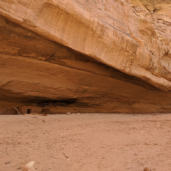
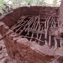
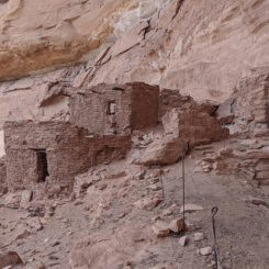
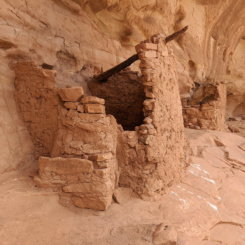
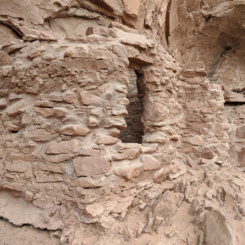
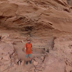
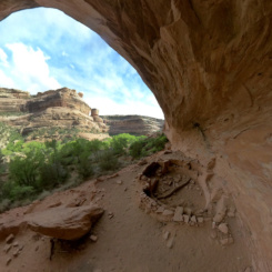
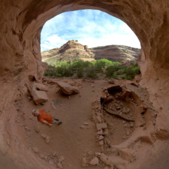
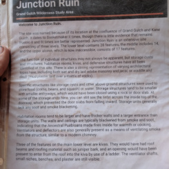
After just a bit more walking I was at the junction with Kane Gulch. This is also the location of another major site — Junction Ruins. I dropped my pack to go check out the site and heard guys’ voices again. This time I saw them in an established camping site nearby. I went over and said hello and we chatted for a while. They were indeed the guys I’d heard down the canyon — they said they had just returned from a side hike down to Turkey Pen Ruins! They were really nice and we chatted for abit. They had just come down Kane Gulch earlier and were going to camp here just for the night. I explained my water woes and asked about water in Kane Gulch and they said there were several pools. BUT… they also said they had plenty and insisted I take some. They also had beer and offered me one of those as well. I took the water, but declined the beer. Don’t get me wrong I usually *love* beer — but not so much while I’m hiking during the day. I thanked them and then went over to check out the ruins.
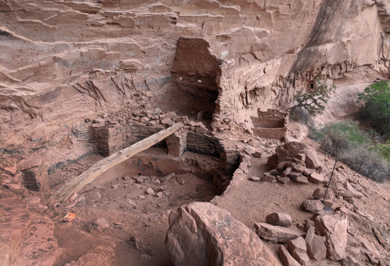
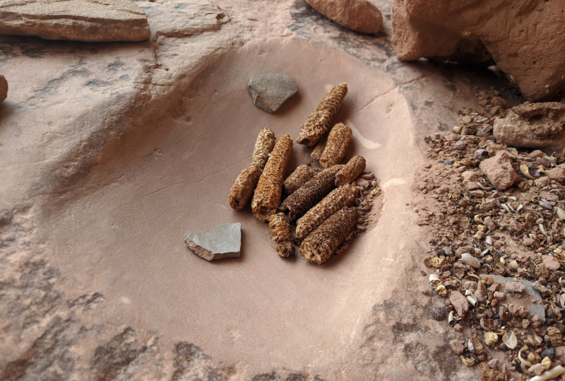
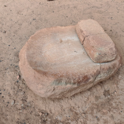
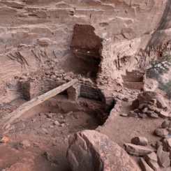
Junction Ruins is a huge site. There are actually three levels of ruins the upper which evidently required a network of ladders to access. I only explored the ground level and there was a lot to see: multiple kivas and other dwelling, several metates and grinding centers and again an bunch of potsherds and rock art.
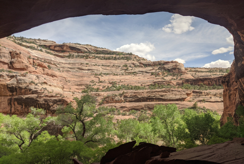
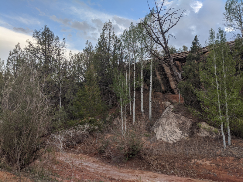
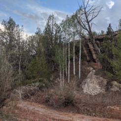
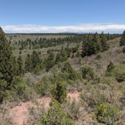
After enjoying checking out the site for a good 45 minutes or so, I returned to my backpack and decided to continue walking. From here I was originally going to continue up the Grand Gulch, but instead decided to take the far more popular route out Kane Gulch. I didn’t have much info on main canyon above this spot as it’s really not very popular at all and the one report I’d read mentioned a few “tricky dryfalls”. With that in mind and the assurance of more water in Kane Gulch I opted to head that way instead. And… I’m glad I did as there was plenty of water and it was fun to see the route that most people take to access the Grand Gulch. It was a nice canyon going up with some huge boulder and nice streaked walls along the way. The upper canyon changed character a bit as it became more pasture like (with cows) and even some Aspen trees.
Before long I emerged from the canyon just as the sun was going down and was thrilled to see the Bears Ears now the horizon — now closer than ever!
Soon I was out at the highway/trailhead and I went to check out the Kane Gulch Ranger Station. It was closed, but I was hoping to still get some more water here — but NO, no water to be found. In fact, I guess this location no longer provides water even when open. Oh well, I still had plenty, but always like easy water when it’s available.
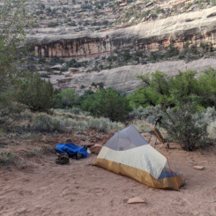
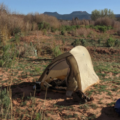
I left the highway in search of the Emigrant Trail which runs north of here. Before even finding it I decided to camp and call it a night.
Day 27
After studying the map the night before I decided to forgo the meandering Emigrant Trail and instead just pound pavement along Highway 261 to get me closer to where I wanted to be.
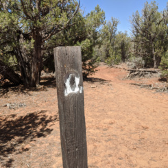
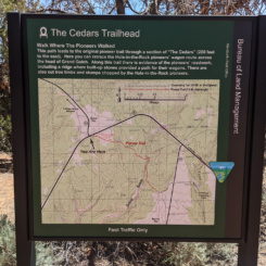
After a few miles I left the highway near where the Emigrant Trail ends and from there I followed another pioneer trail to the northwest. This one, Trail of the Cedars, runs along and then crosses the upper-most reaches of the Grand Gulch and then intersects with Hwy 95.
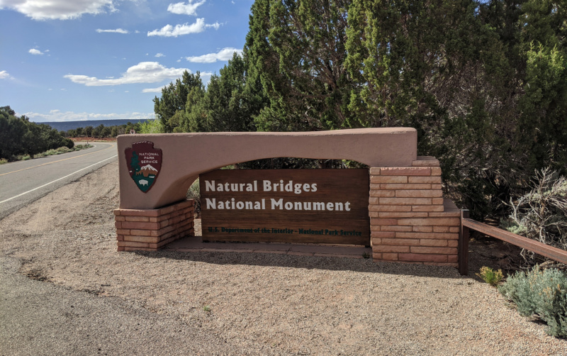
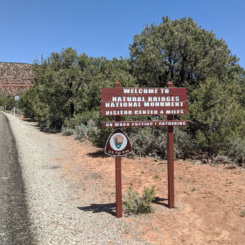
Once at the highway I was pounding pavement again for a few miles until the fork where a dirt road leads up to Elk Ridge. Here I took a break and dropped my backpack behind some juniper trees a short distance off the highway. I changed into semi-respected clothes for a side trip into Natural Bridges National Monument where I had a re-supply package waiting for me. Carrying just an empty stuff sack and water bladder/bottles I headed toward the park along the highway hoping to hitch a ride. BUT… one car after another just passed my by. There wasn’t much traffic, but I was somewhat surprised after about 10 cars passed me and my outstretched thumb over the course of about an hour of walking. I was less than a half mile from the park’s visitor center when somebody finally stopped and gave me a ride the rest of the way.
Got my re-supply without a problem and enjoyed chatting with the staff at the visitor center (thanks to all those who helped make this happen!) Packed up everything in my stuff sack and filled all 7 liters of my water containers and headed back down the highway. This was a drag now with the added weight… and again nobody stopped to pick me up for over 3 miles of road walking. I’d given up on even trying to get a ride and was literally within sight of my backpack when a guy stops unprompted to ask if I needed a lift. “Where were you an hour ago?!” I joked! I thanked him, but explained I was just going another few hundred more yards.
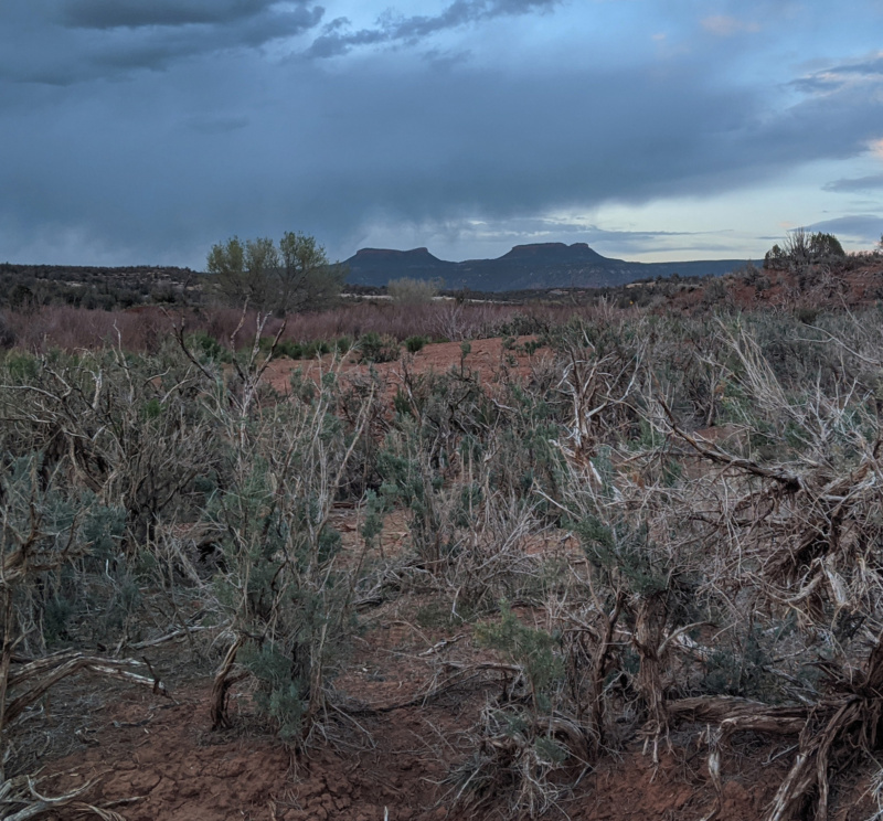
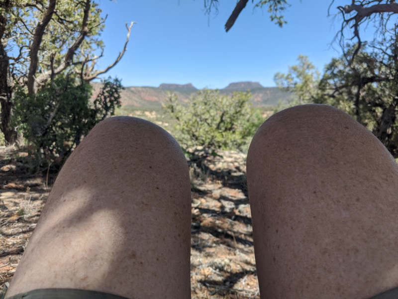
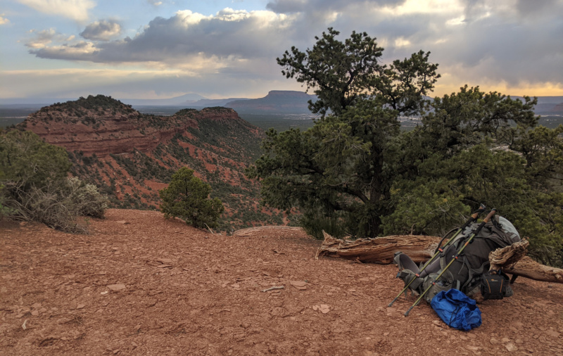
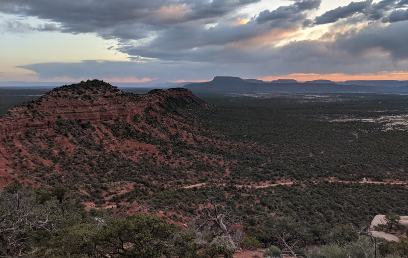
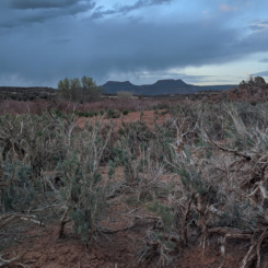
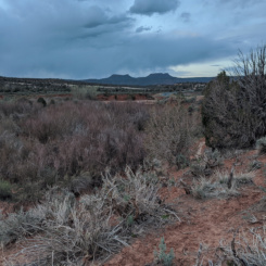
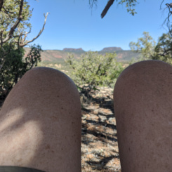
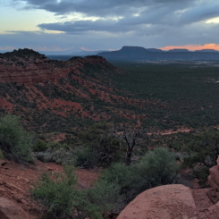
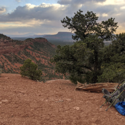
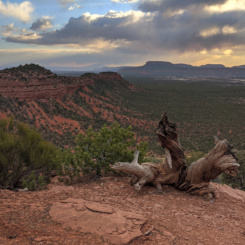
Back at my pack I changed back into my grungy hiking clothes, repacked my gear, and headed out walking the backroad up the big hill towards Maverick Point and the Bears Ears. This was a SLOW walk with my newly re-filled pack. As the sun was going down the wind picked up and a bunch of clouds moved in and it appeared that it could rain on me. As I gained elevation and turned the big corner in the road I admired the incredible view over all of the White Canyon drainages (home of Natural Bridges) and over to the Henry Mountains in the west/northwest. To the southwest The Tables of the Sun dominated the landscape and Navajo Mountain could be seen in the distance. It was such a great view and with the threat of a downpour any minute — I decide to call it a day and make camp there at an established car camping spot. It never did rain — but I enjoyed watching the sun go down.
Day 28
The sun was out in full glory in the morning so I got up and took more pictures of the incredible landscape.
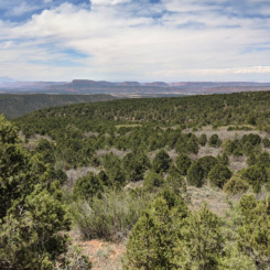
Then I continued walking up the road and the final stretch toward the Bears Ears.
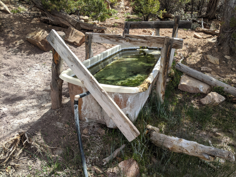
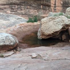
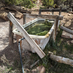
At a big bend I left the road temporarily to go investigate Maverick Spring which was marked on my map. One of the rangers at NB wasn’t sure if there’d be water here considering what a dry year it was, but I was happy to find a great waterworks system that was overflowing! It looked good, but considering I still had 1.5 gallons of water on me I didn’t need to actually try it out!
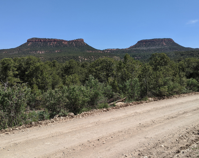
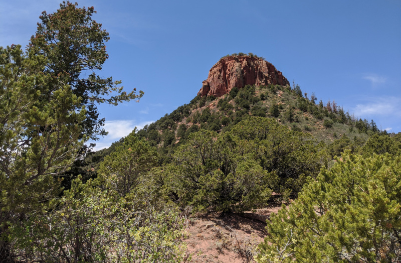
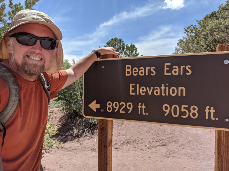
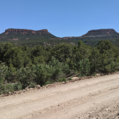
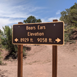
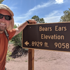
After the spring the road climbs a bit and then straightens into a long ramp up headed up towards the Bears Ears. In the next mile I was passed by a few autos, some ATVers, and then three cyclists. It seemed busy all of a sudden! But then… I was in between the “ears” at Bears Ears Pass.
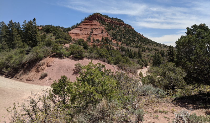
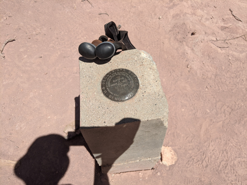
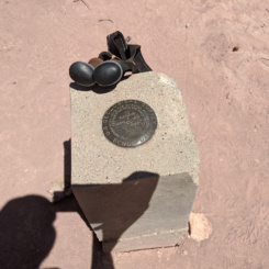
Two of the cyclists were still at the summit as I walked up and we chatted a bit. Then they pedaled on and I was alone again — and didn’t see another person for about 30 minutes as I took my time enjoying the landmark and shooting some more video. It had been a great hike to this point all the way from Bryce Canyon — 28 days and about 400 miles.
If you’ve watched my video series you know what comes next… (spoiler alert)… my “Bryce to Bears Ears” hike did NOT end at the Bears Ears. Logistically stopping here made no sense and besides — there was still just so much great stuff nearby that I had not intention of stopping. So the plan was to head over to Woodenshoe Canyon and then down Dark Canyon and eventually out to Hite. But, that will wait for the next section.
Check out the full photo gallery below or continue reading the next section… Beyond the Bears Ears….
Photo Gallery:
-
- Two-Level Site
-
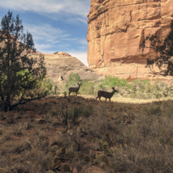
- deer near Split-Level Site
-
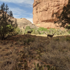
- deer near Split-Level Site
-
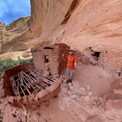
- Split-Level Site
-
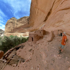
- Split-Level Site
-
- Split-Level Site
-
- Split-Level Site
-
- Split-Level Site
-
- Split-Level Site
-
- Split-Level Site
-
- another site
-
- another site
-
- another site
-
- another site
-
- another site
-
- another site
-
- another site
-
- Stimper arch
-
- maybe Turkey Pen Ruin site
-
- empty alcove view
-
- Junction Ruin Site
-
- Junction Ruin Site
-
- Junction Ruin Site
-
- Junction Ruin Site
-
- Junction Ruin Site
-
- Junction Ruin Site
-
- Junction Ruin Site
-
- Junction Ruin Site
-
- Junction Ruin Site
-
- Junction Ruin Site
-
- Junction Ruin Site
-
- Junction Ruin Site
-
- Junction Ruin Site
-
- hiking up Kane Gulch
-
- hiking up Kane Gulch
-
- hiking up Kane Gulch
-
- hiking up Kane Gulch
-
- hiking up Kane Gulch
-
- closer to the Bears Ears
-
- closer to the Bears Ears
-
- sundown near Kane Gulch Ranger Station
-
- Kane Gulch Ranger Station
-
- Kane Gulch Ranger Station
-
- Kane Gulch Ranger Station
-
- Kane Gulch Ranger Station
-
- Trail of the Cedars
-
- Trail of the Cedars
-
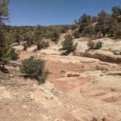
- very upper end of Grand Gulch
-
- Bears Ears view
-
- Trail of the Cedars
-
- headed toward Natural Bridges
-
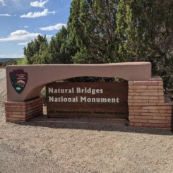
- park entrance
-
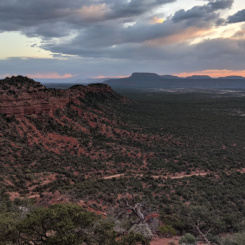
- view from Maverick Point
-
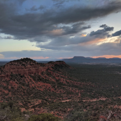
- view from Maverick Point
-
- view from Maverick Point
-
- view from Maverick Point
-
- view from Maverick Point
-
- Maverick Spring
-
- The Bears Ears
-
- Bears Ears survey marker
-
- Bears Ears Sign
-
- The eastern Bears Ear
-
- The western Bears Ear
-
- looking toward the Abajo Mountains