


Below is the Daily Journal for this segment of the hike. Alternatively click any thumbnail to jump to:

hike overview
segment video
interactive map
photo gallery
(previous: Canyons of the Escalante || next: Mysterious Moqui Canyon)
Part 5: Capitol Reef and around Lake Powell
May 4, 2021
Day 15
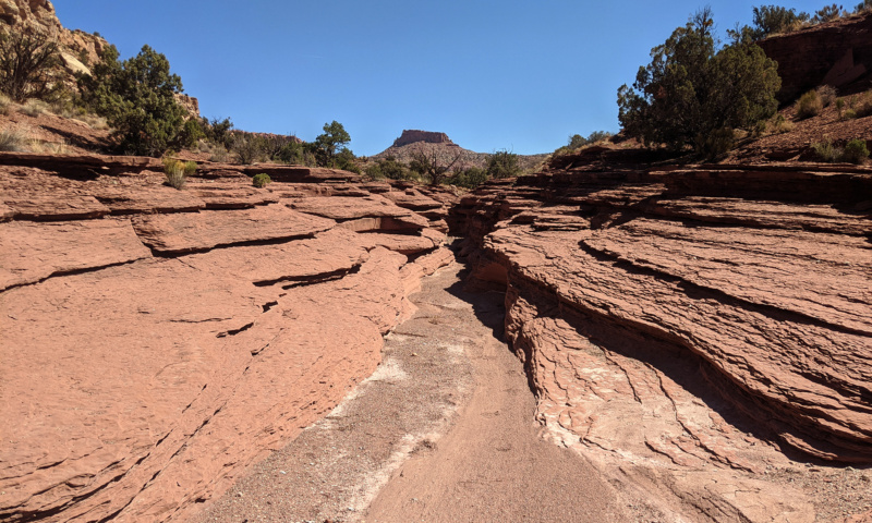
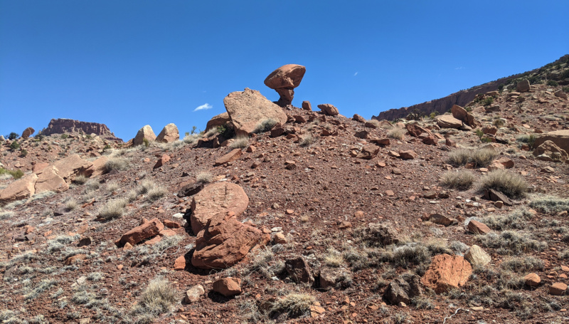
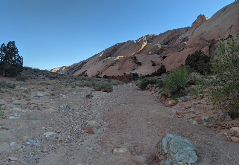
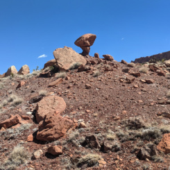
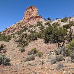
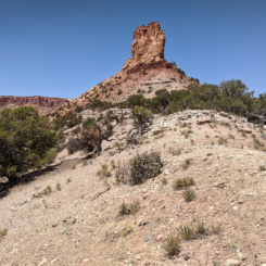
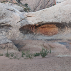
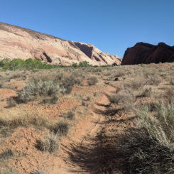
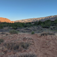
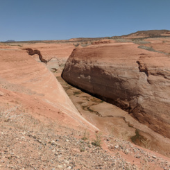
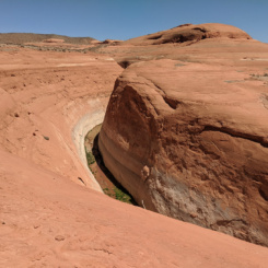
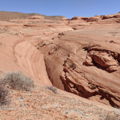
Set out in the morning up the upper reaches of Middle Moody Canyon. Soon the canyon widened some and I could see the notch/saddle on the horizon where I would cross over into Capitol Reef National Park. Continuing up canyon there was more interesting geology and an few more shallow slots. Soon I decided to leave the main canyon and begin climbing the slopes where I saw it would be possible to attain the higher benches above what looked to be an otherwise problematic cliffband ahead. There was an interesting balanced rock on my way up and then a great view behind.
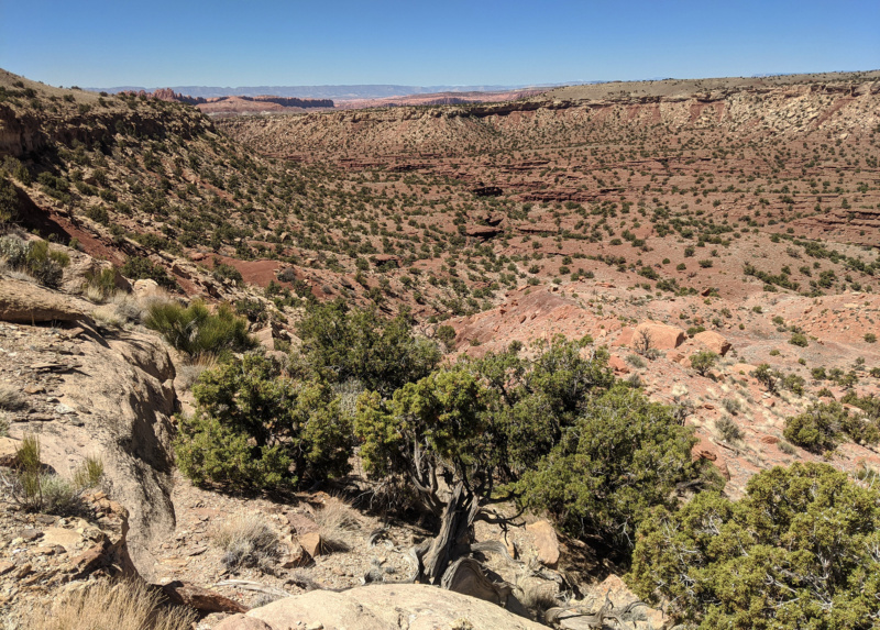
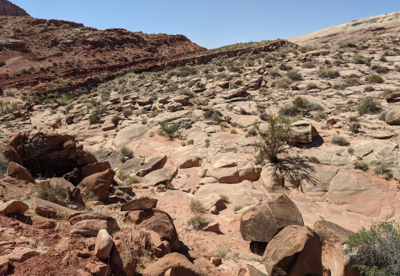
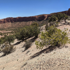
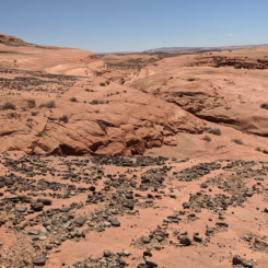
I had to do a bit of a scramble to get up the cliffband. There was an easier way nearby, but I chose the wrong line and ended up one gully over. Once on top if was a fairly easy walk contouring around the drainages as I made my way toward the saddle. In fact, soon I picked up an old mining road (barely visible) which made walking even easier.
NOTE: there seems to be several good ways to traverse the cliffs in this area, but there are some BAD ones too. About a month after I walked through this area another hiker fell from a cliff and was seriously injured. Luckily he had a PLB and was still able to use it and was eventually airlifted to help. My advice in this area (and most areas documented on my site): if a route is sketchy and includes exposure — look for an alternative as better options are almost always nearby!
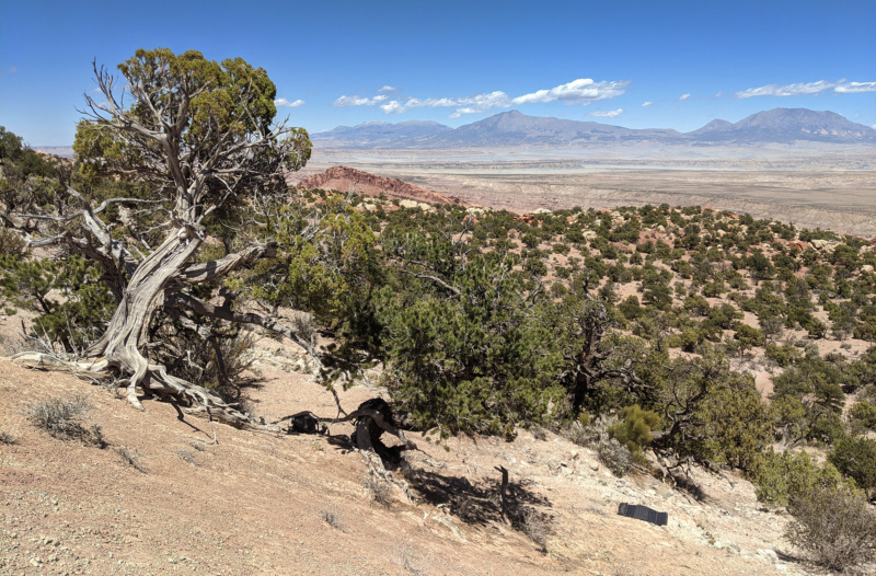
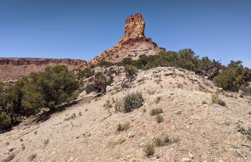
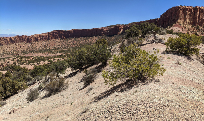
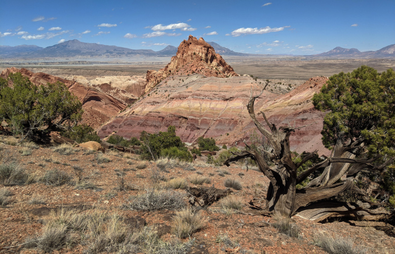
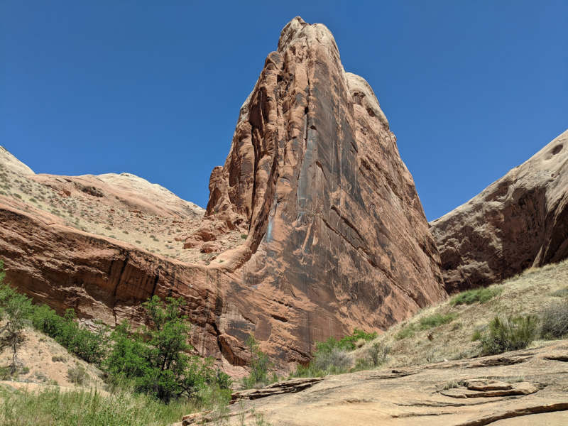
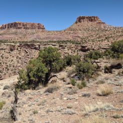
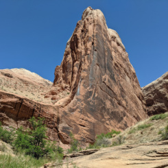
Once directly under the notch I left the old road and started climbing the steep slope up toward the saddle. After a short break under a juniper half way up and I made the final push and soon found myself on the saddle enjoying the incredible view. The The Waterpocket Fold wrinkled its magic in the immediate foreground and the Henry Mountains rose majestically out on the horizon. Behind me was the the expanse of Moody Canyons and the Escalante and in the distance the Straight Cliffs. It really was a great view in all directions.
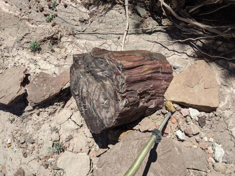
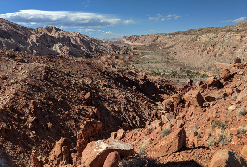
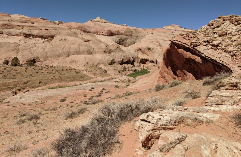
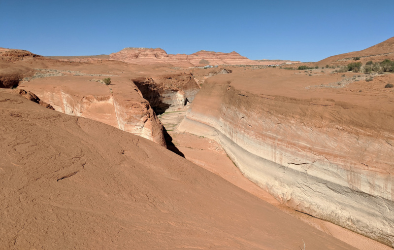
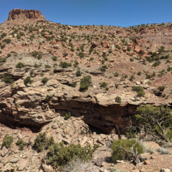
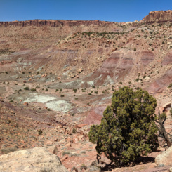
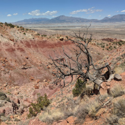
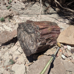
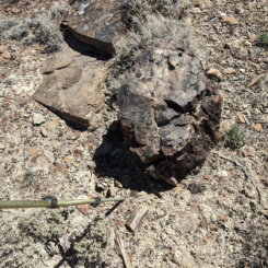
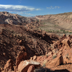
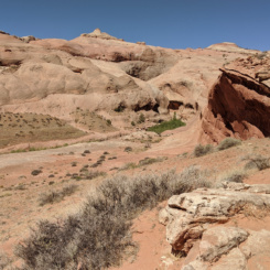
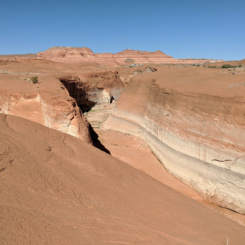
From here I was to head down and toward the Red Slide — a geologic feature named for a massive slide/erosion that cuts through the uplift of the Fold. The feature provide one of the few relatively-easy spots to cross the Fold on foot. The area between me and the Red Slide is a wonderland of colorful mudhills and gullies. There are a few old mining tracks running through the area and I knew one of them connected to the Red Slide (as was the same route used by the Hayduke Trail). So, I headed down into the gullies and soon found myself descending on one such barely-visible old road. Along the way I noticed quite few large chunks of petrified wood and a bunch of cowboy/mining trash. The hills were predominately reddish-purple, but stipes of gray and yellow really made for an incredible scene.
Soon though I could tell that the route I was on was headed the wrong direction and I needed to get farther south. So I went cross country a ways and found another mining track that climbed back up to where I wanted to go. Once up out of that gully I intersected a well-worn footpath — that must be the MAIN ROUTE for Haydukers I thought. Oh well — I enjoyed the route that I took albeit probably more tedious than necessary.
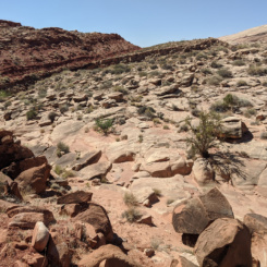
From there the route curved around and then soon I was at the top of the Red Slide itself. It was fairly easy to follow the route as it zig-zagged down the slide, but it was tedious walking. The “trail” was moderately steep and was littered with marble-like little bits of sandstone making footing iffy at best. There is no exposure or danger here — it just required my constant attention to make sure I didn’t fall on my butt! But there was a nice view of the gulch to running north.
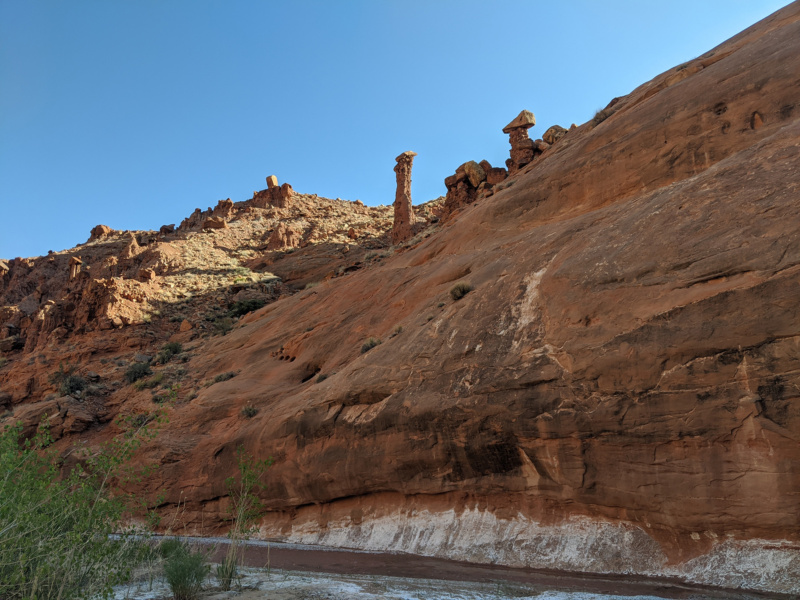
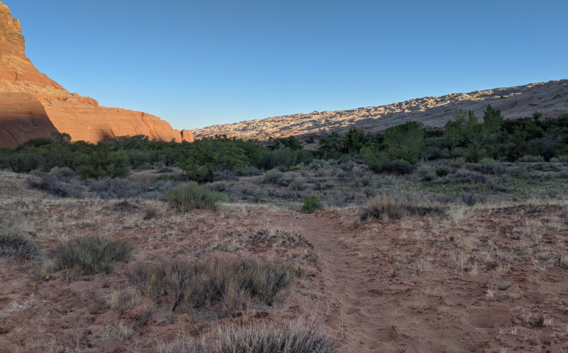
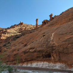
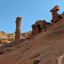
It felt good to finally be at the bottom and back on flat ground. I headed down the wash and admired the “Red Slide Toadstools” as I headed south.
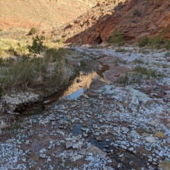
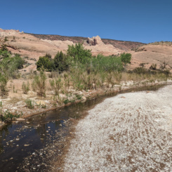
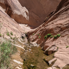
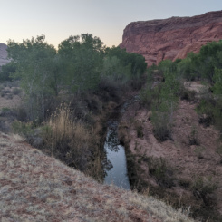
I stopped at the Fountain Tanks to refill my water and to my surprise — it was empty! This is a fairly well known and reliable “tank” that’s been used by hikers/cowboys/pioneers for over a hundred years. It was evidence of how dry of a year 2021 really had been. There might have been water in the upper tank which requires a scramble to get to, but I didn’t investigate that as there had been some water in the wash. The wash water was sporadic and looked less than ideal — but it would do. I knew there would be good water farther down tomorrow. So, after grabbing some water I continued heading down the valley as the sun sunk below the Fold in the west. I soon realized I was glad I got the water when I did, because the intermittent pools in the wash had disappeared entirely.
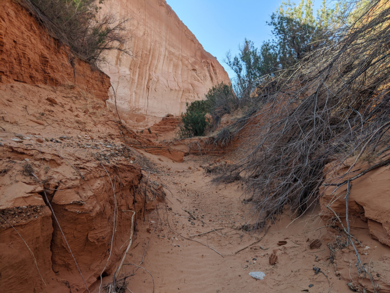
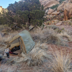
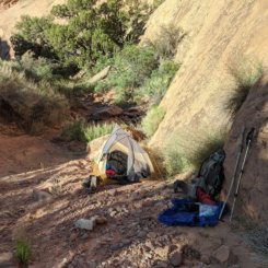
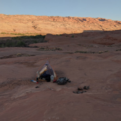
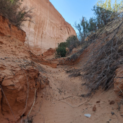
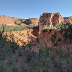
After another hour or so of hiking I needed to find a place to camp. I did not have a permit to camp inside of Capitol Reef National Park and don’t believe in “poaching” sites in national parks. BUT… this was actually my plan all along as close inspection of the maps shows a few side canyons in there area where one can climb up and exit the park. So… similar to my camp spots near Bryce, I officially camped just 20′ or so outside the park!
Day 16
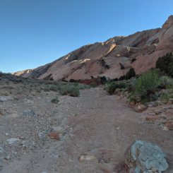
In the morning I got back on the main route and continued heading south.
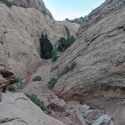
Before long I saw something I hadn’t seen in quite a while… PEOPLE! I actually crossed paths with four different groups of people as I neared the top end of Halls Creek Narrows. All of them were headed back up canyon except for one group of two headed toward the Narrows.
I decided to actually NOT walk down through the Narrows, but instead take the bypass over Halls Divide. I was curious to see this route as I’d never taken it and thought it would be a good way to make up some time. Also, other hikers had warned me that one spot in the Narrows was a “swimmer” so I wanted to avoid that with the big pack if possible.
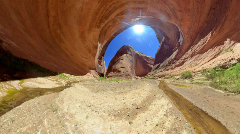
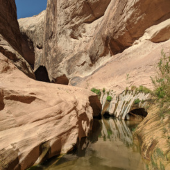
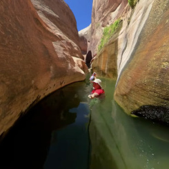
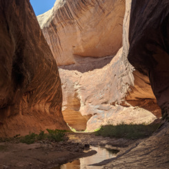
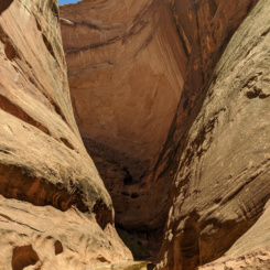
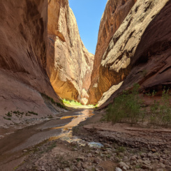
Once over the divide and back in the wash — I dropped my big pack and headed back up into the Narrows from the bottom with just my cameras and a lunch (you didn’t think I’d skip the Narrows completely did you?!) The lower end of the Narrows was great as usual. The deep spot actually wasn’t a true “swimmer” to me because at 6’2″ I was able to tippy-toe all the way through.
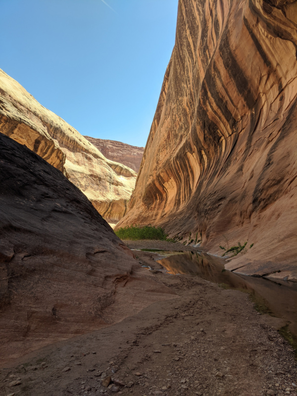
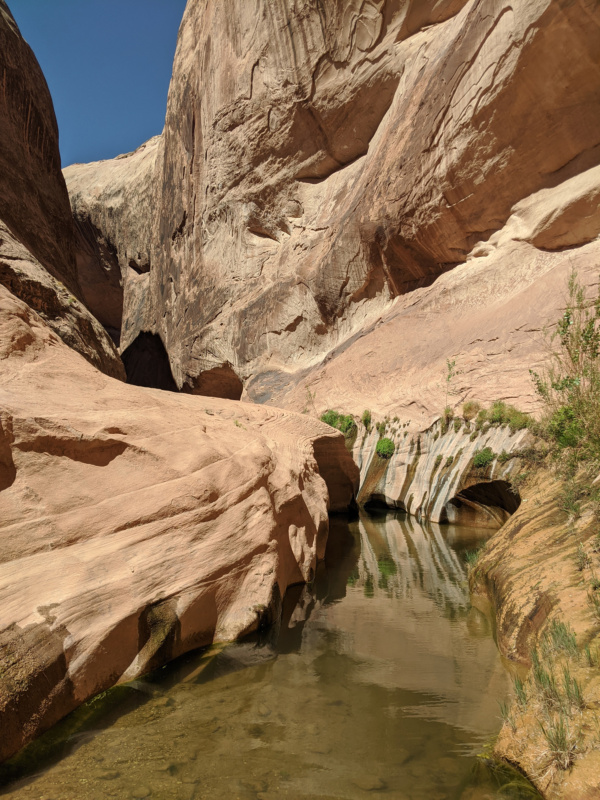

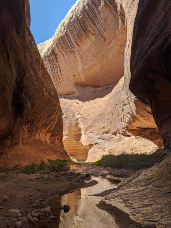
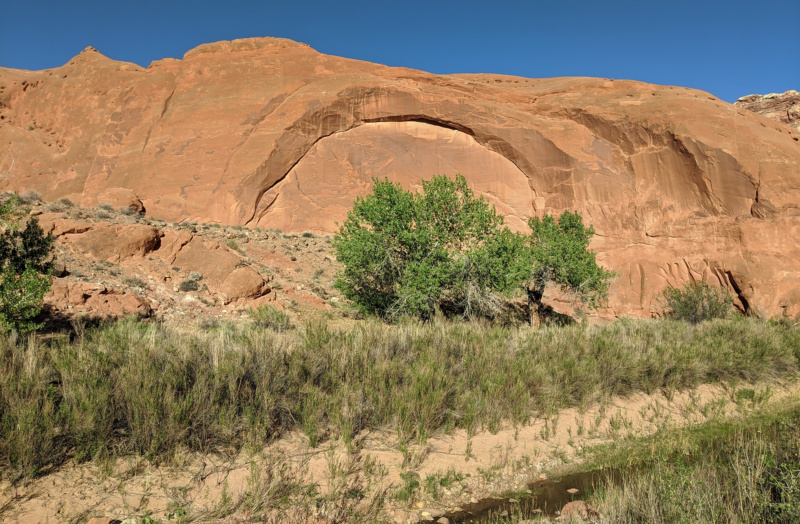
Once past the pool I continued up canyon checking out the awesome undercuts and “Shark Fin”. I made it maybe half-way up through the Narrows before stopping for a lunch break. I didn’t see any other people along the way except for the couple that I’d run into near the top of the canyon. They said they hadn’t seen anyone else either — pretty cool.
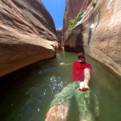
After my short break I headed back down canyon. When I got back to the deep pool I decided to actually swim this time. It was quite refreshing in the mid-day sun (and made for some fun photo/video ops!)

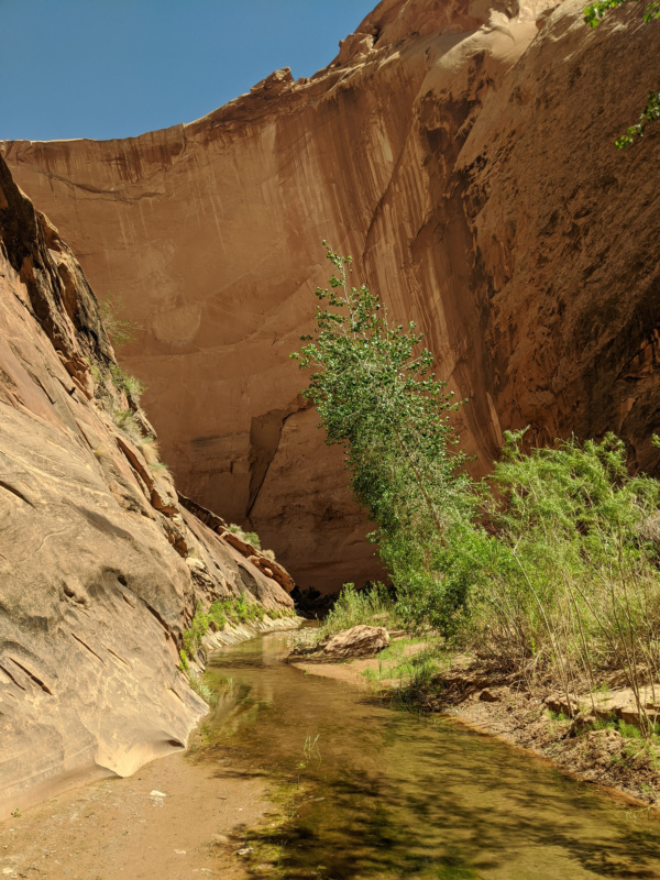
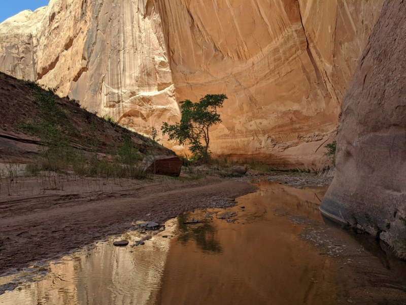
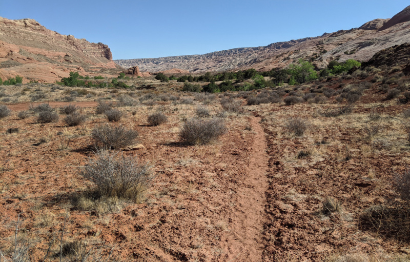
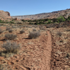
Back at my pack I loaded up and headed south down the canyon. The route south of the Narrows is far less traveled than to the north, but there is still a good intermittent trail on the benches west of the creek. This route is gaining in popularity with alternate-seeking Haydukers and others looking to go over the Baker Route to Stevens Canyon. However there are still areas where the route disappears entirely and one can easily get lost in thick brush trying to short-cut the benches or cross the creek. There’s also quite a bit of cryptobiotic soil to avoid.
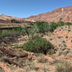
South of the park boundary the walk continues to be scenic with sheer cliffs to the east and the dramatic Fold to the west. There are several side canyons which are popular with Canyoneers (nicknamed the “Poe” canyons I believe.) As such there are a few bigger established camps here.
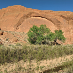
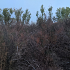
Farther south still is the approximate area where one can climb up onto the slickrock to head southwest to the Baker Route. On this trip I would instead keep following the wash to the south and toward Lake Powell. Unfortunately in this area which is sometime under the lake the brush is a nightmare. It’s hard to describe how difficult in can be to navigate in such areas. You know the general direction you want to go and see some brush and think I can get through that and then after a few minutes of the brush tugging and pulling at you you realize it’s getting thicker and thicker. Then you must decide whether you are past the worst of it and you should continue to fight through, OR if you should cut your losses and turn around and look for a better way. This was the process for me… on repeat… for an hour or more!
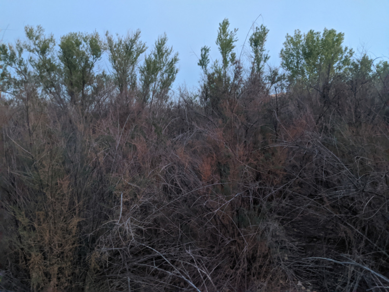
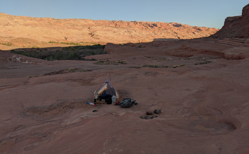
Eventually I noticed a large outcrop of red sandstone to the east of the wash. I found my way up on top to get free from the brush. From there walking was MUCH faster! Unfortunately the sun was already down so I didn’t go much farther before calling it a night.
That night I witnessed an amazing sight in the night sky — a “parade” of lights marching across the sky in a straight line. I suspected and later confirmed it was the launch of a set of Starlink satellites — a truly amazing thing to see, especially in such a great dark-sky location.
Day 17
Waking up to sunrise on the Fold:
Heading out in the morning I stayed up on the slickrock as long as I could to avoid the thick brush down below. Unfortunately before too long it ended and I found myself down fighting the brush and crossing the stream a few more times.
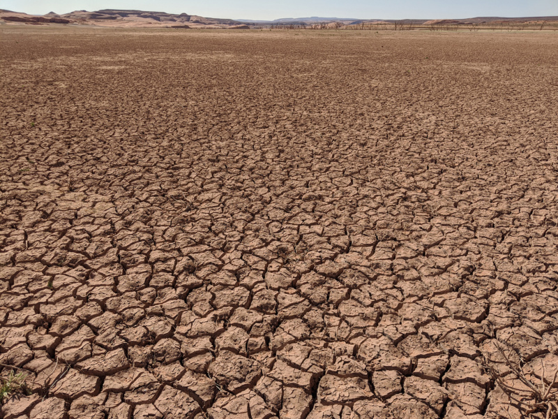
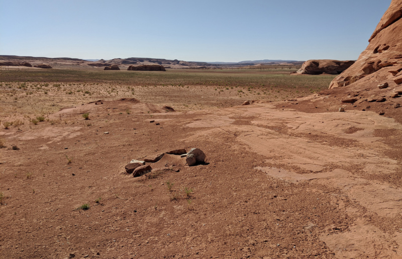
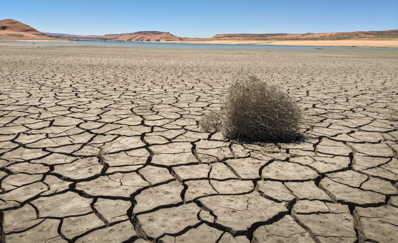
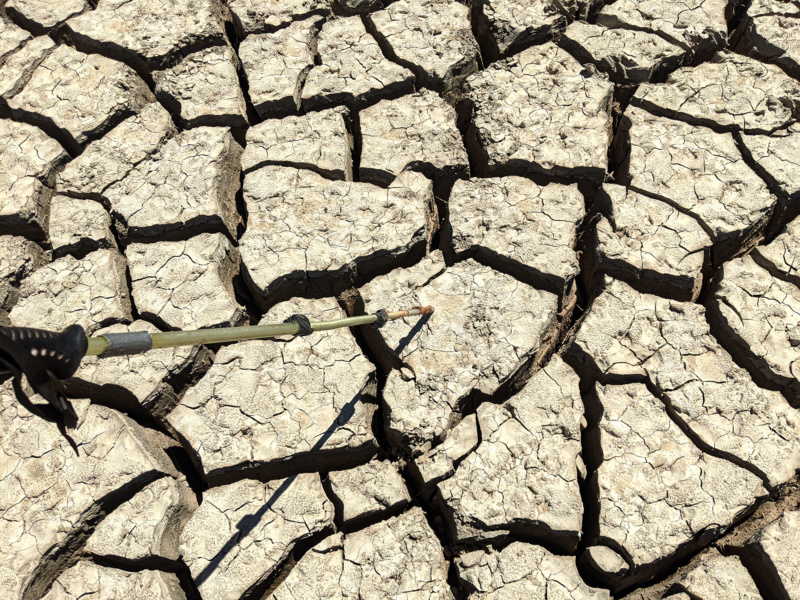
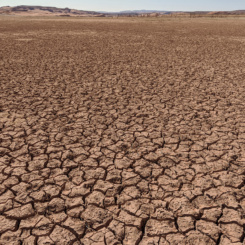
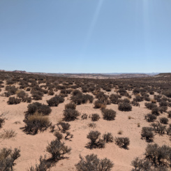
Before long the I rounded the bend and headed more due southeast and away from the stream and brush. This was an odd landscape which one could tell was submerged not long ago and was now just a plain of cracked mud.
I was making a beeline for what I thought were the hills near Bullfrog — when I realized… I was headed the wrong direction! I usually have a great sense of direction, but for some reason I’d drifted much farther south than I’d wanted. This was the first time I’d opted to do a hike without printing out detailed area maps. I still had regional maps, but planned on relying on the GAIA app for all local/detailed navigation. Well.. after a snafu with the app, I realized early on that MOST of the maps on the app were NOT downloaded, but only accessible when I was connected to the Internet. This was a pain, but… luckily I know southern Utah well enough that I really don’t need maps at this point! Anyway once I re-aligned my internal GPS I realized I needed to head more to the east and over one more ridge before getting to Bullfrog and sure enough when I did… there it was:
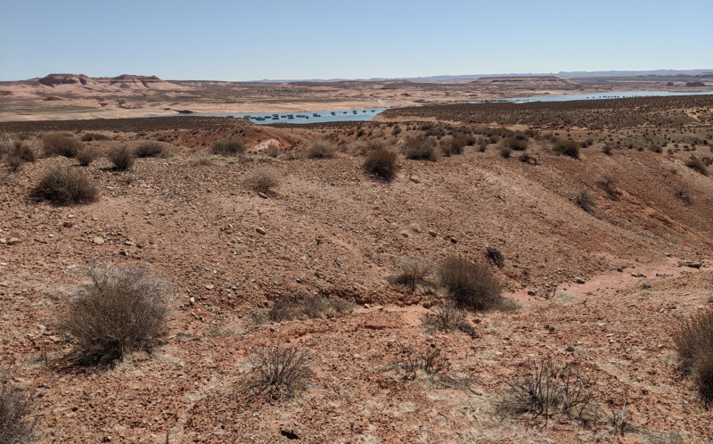
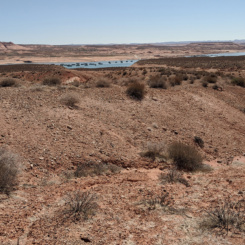
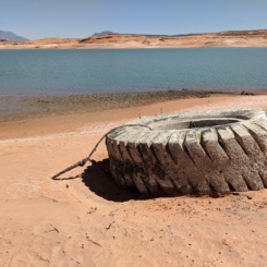
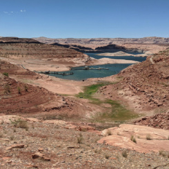
Because I had drifted so far south I actually had to walk back to the north. The lake was definitely low, but I still had to go a ways to get around the arm of the lake. It was a weird landscape and the sun was blasting with no shade anywhere to be found. Crossing the upper end of the bay was a bit unnerving with the huge cracks in the mud — some which was soft, some hard. I made my way across as quickly as possible to get to the eastern shore.
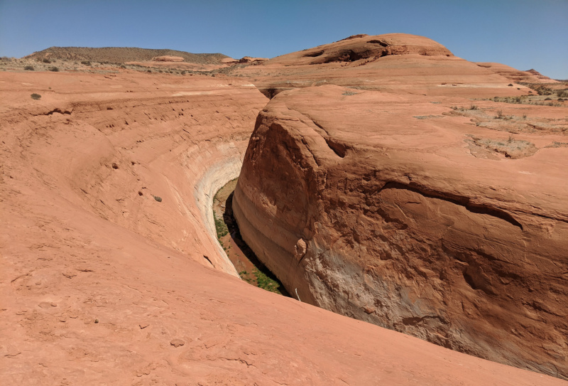
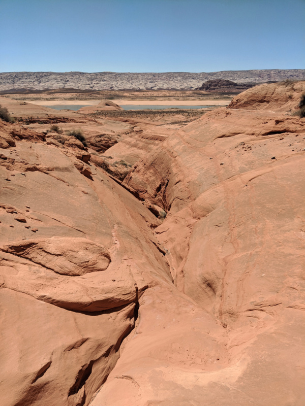
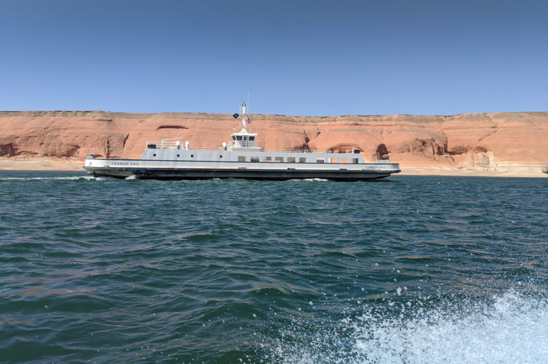
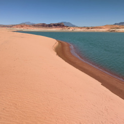
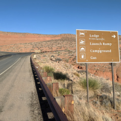
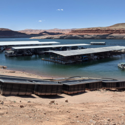
From there I headed south to Bullfrog Marina where my plan was to catch a ferry across the lake. There are a few slot canyons in this area that I anticipated I’d have to bypass. Again, without detailed maps I wasn’t sure exactly how elaborate of a bypass would be needed but I didn’t think it would be much. Turned out to be much more difficult than expected. The canyons were too steep to cross near the lake so I had to follow the rim quite a ways up before I could cross the network of canyons. I did finally find a shady spot here which was nice.
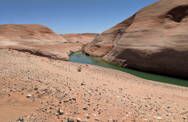
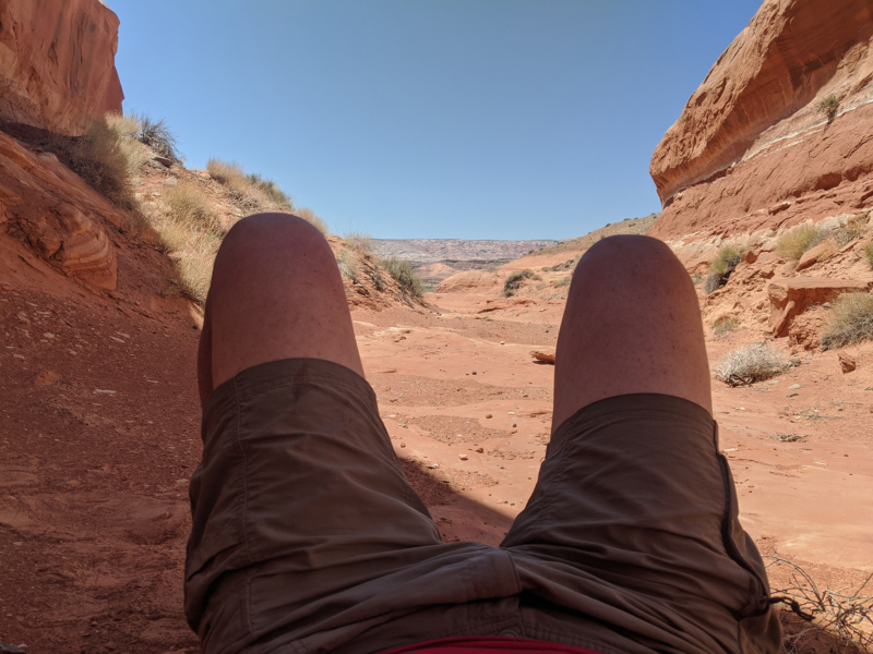
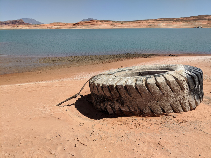
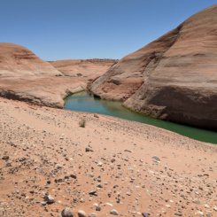
I was happy to get back down to the lake as I was out of water and needed to cool down. I jumped in the lake for a bit and it was great. Then I moved south along the shore before coming tot he next obstacle — another major side canyon. Luckily I found another overhang with shade and filled up with water before setting out on the next bypass.
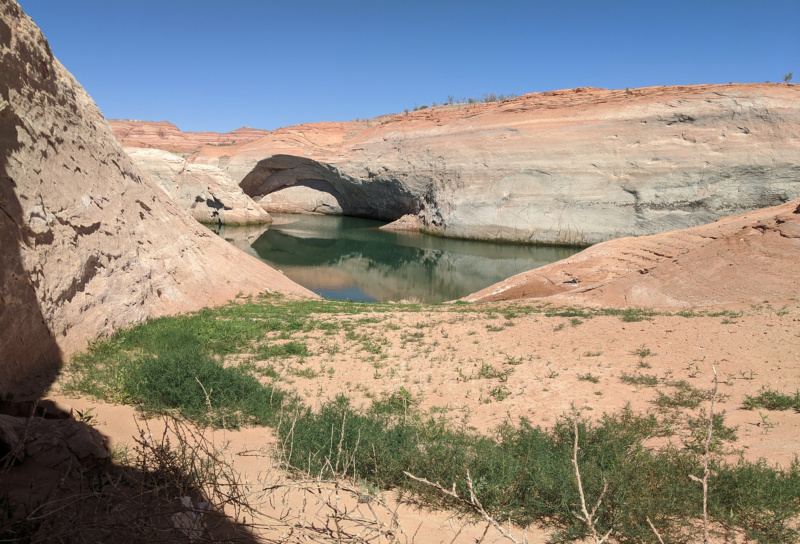
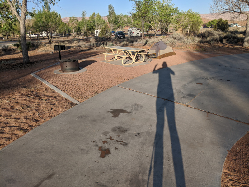
The canyon system was also tedious to find a way around and across. The canyon cuts such a deep channel and once above the water line it’s filled with 30′ or so of silt. It all makes for quite the challenge to cross (esp when just making it up as I went like I was.) FINALLY… I climbed out and found myself in the dry storage area of Bullfrog. From here… it was just 15 minutes or so of road walking to get to “town”. Unfortunately I was too late to get my re-supply at the post office or even a cold drink at the local convenience store, but… made camp at the official campground ($18!) and enjoyed having a picnic table for dinner and running water and electricity in the bathrooms!
Day 18
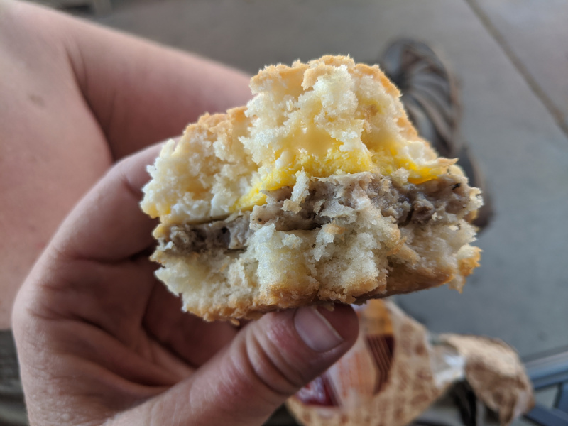
Got up and had time to kill as the first ferry across the lake didn’t leave until 11am. I walked back to the convenience store and enjoyed an atypical hike breakfast.
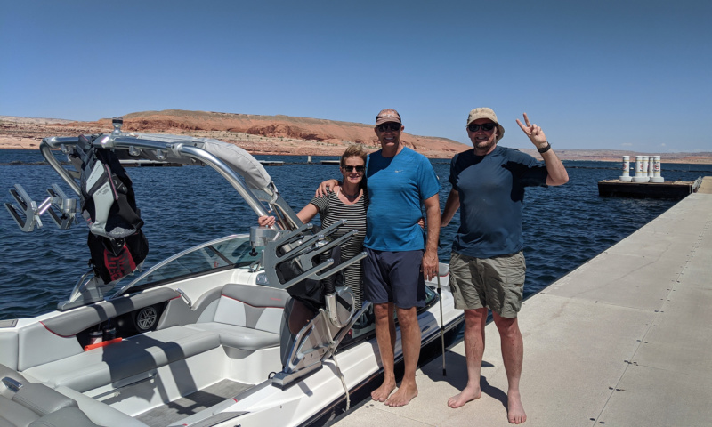
While enjoying the food I made small talk with a couple who were gassing up. Evidently it was obvious that I looked a bit out of place and they were curious about my adventure. After I told them about my plans, they said they were about to launch their boat and they’d be happy to give me a ride across the lake so I wouldn’t have to wait for the ferry. Awesome! They even waited for me at the nearby post-office as I picked up my re-supply and then before long I was riding in style across the lake thanks to the cool couple from Ogden!
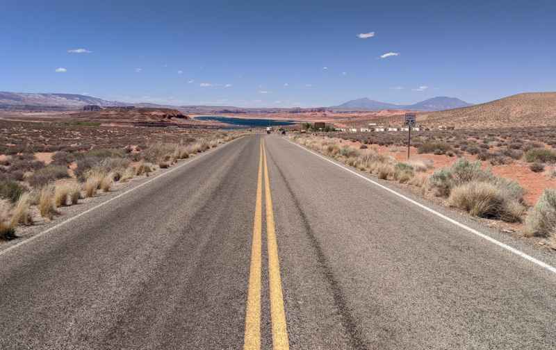
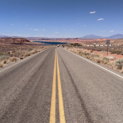
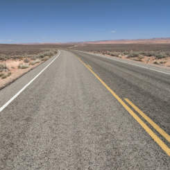
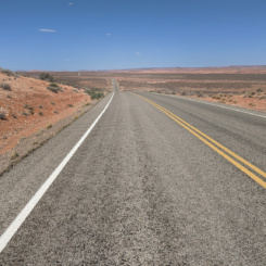
Across the lake at Halls Crossing I thanked them and said my goodbyes as I headed up and out of the marina. Walking up the paved road up the hill away from the lake I could tell it was going to be a miserable walk. I stopped at the convenience store on the edge of town and got two cold energy drinks and re-filled my water plugged in my charger for a while. Then… I set out onto the long 6-ish miles of road walking.
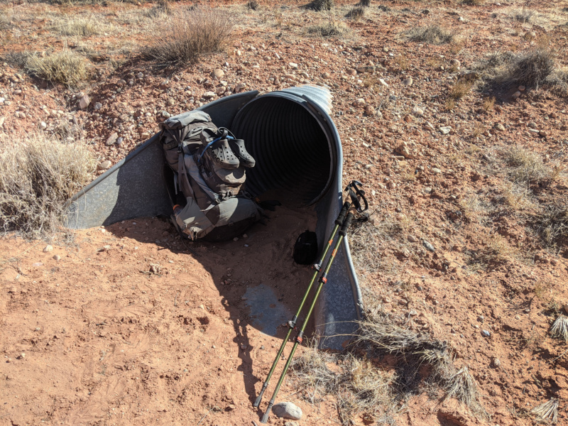
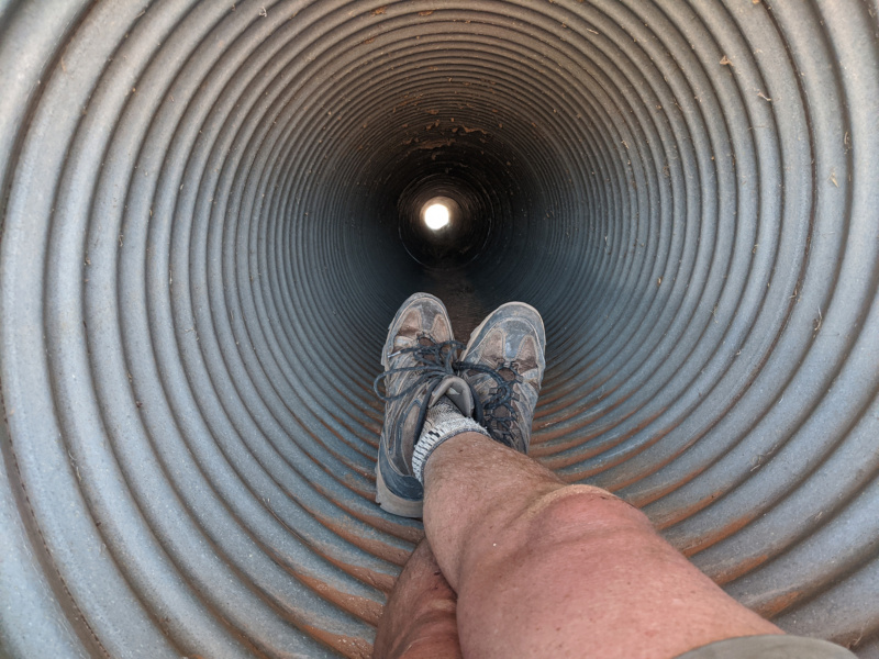
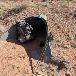
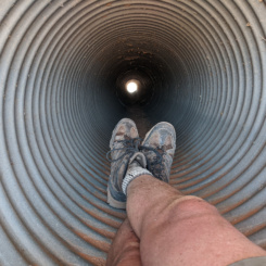
There was actually no shade to be found, so twice I climbed under the road into a culvert. It was crazy how comfortable this was — like an air-conditioned tunnel.
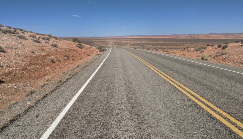
I kept going. And going. It was indeed a pretty miserable walk, but when connecting so many awesome spots across southern Utah, sometimes relatively short “connector” segments like this are necessary. So I kept walking.
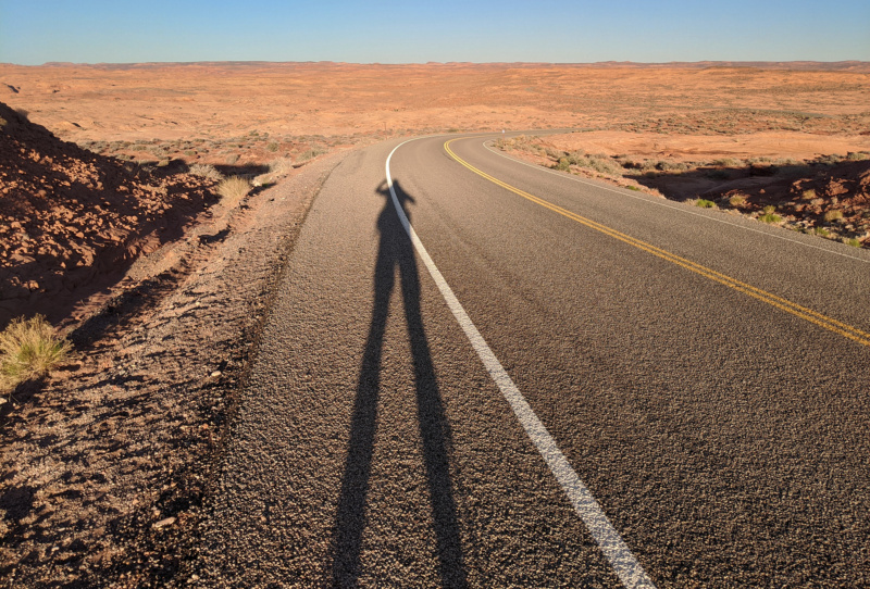
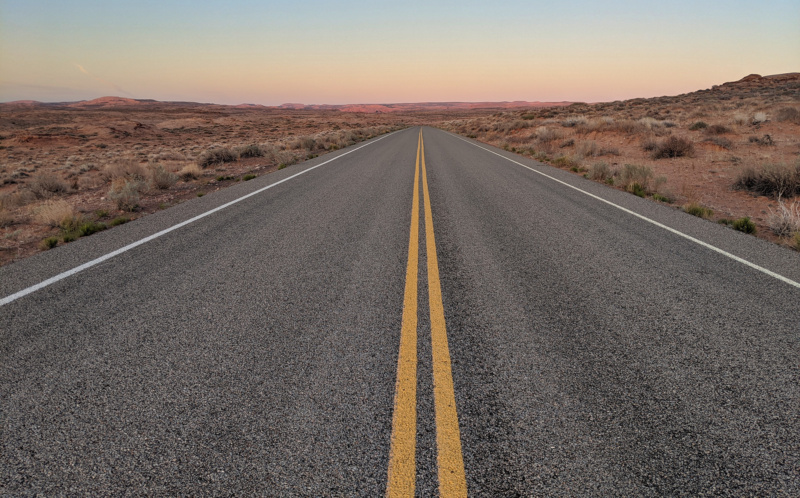
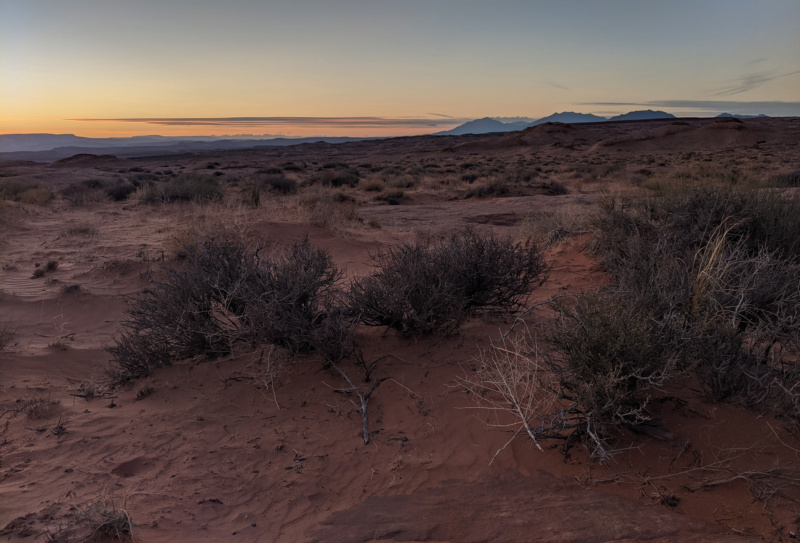
Soon the sun was going down and the landscape around me really lit up. There was zero traffic on the road so often I found myself walking down the middle of the road enjoying the setting sun.
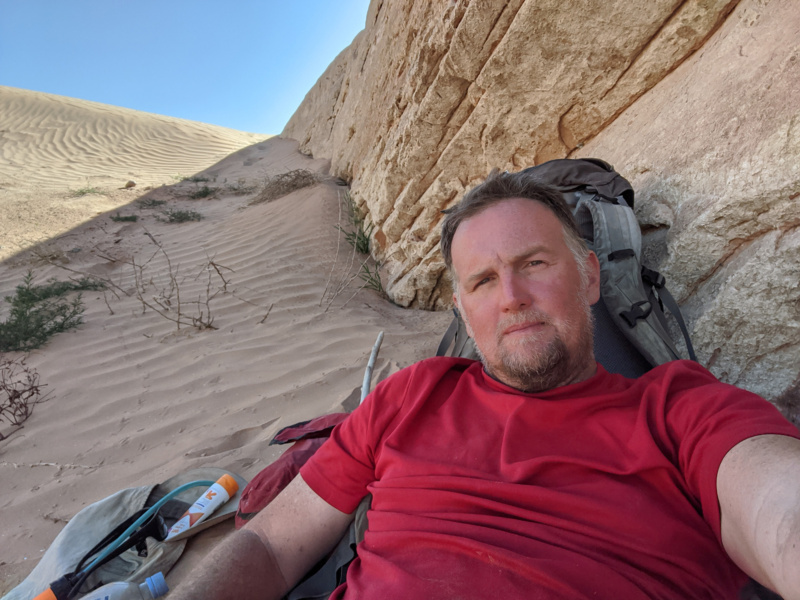
Not much longer I left the road and began going cross-country once again through the slickrock and dunes. I was headed to the rim of Moqui Canyon, but that would have to wait until tomorrow as the sun was long down by now and it was time for me to find a spot for the night.
Check out the full photo gallery below or continue reading the next section… Mysterious Moqui Canyon.
Photo Gallery:
-
- upper Middle Moody Canyon
-
- upper Middle Moody Canyon
-
- upper Middle Moody Canyon
-

- upper Middle Moody Canyon
-
- climbing out of upper Middle Moody Canyon
-

- looking down upper Middle Moody Canyon
-
- looking toward the notch/saddle
-
- upper most part of Middle Moody Canyon
-
- the “Notch”
-
- the “Notch”
-
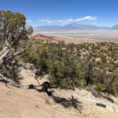
- view to the Henry Mountains
-
- view from the saddle area
-
- view from the saddle
-
- down the gullies toward Red Slide
-
- petrified wood
-
- petrified wood
-
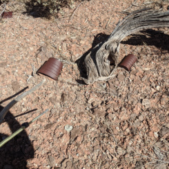
- old miner trash
-
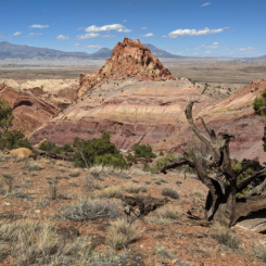
- colorful view in Capitol Reef
-
- colorful view in Capitol Reef
-
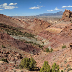
- looking south at the Waterpocket Fold
-
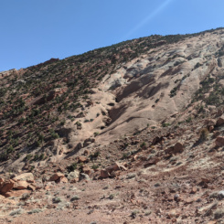
- The Red Slide
-
- “Red Slide Hoodoos”
-
- “Red Slide Hoodoos”
-
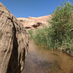
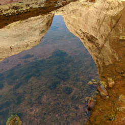
- intermittent water in Halls Creek
-
- dry Fountain Tanks
-
- dry Halls Creek
-
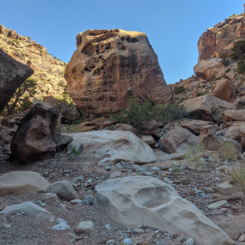
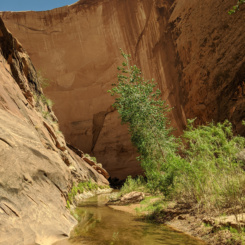
- side canyon just outside Capitol Reef Boundary
-
- side canyon just outside Capitol Reef Boundary
-
- walking down along Halls Creek wash
-
- intermittent water in Halls Creek
-
- crossing Halls Divide
-
- crossing Halls Divide
-
- lower end of Halls Creek Narrows
-
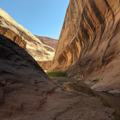
- lower end of Halls Creek Narrows
-
- lower end of Halls Creek Narrows
-
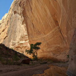
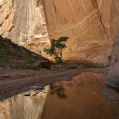
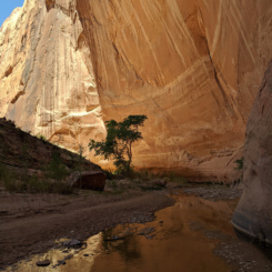
- Halls Creek Narrows
-
- Halls Creek Narrows
-
- Halls Creek Narrows
-
- Halls Creek Narrows
-
- Halls Creek Narrows
-
- Halls Creek Narrows
-
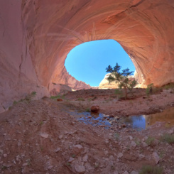
- fisheye view of alcove
-
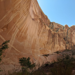
- desert varnish
-
- fisheye view of alcove
-
- “Shark Fin”
-
- Halls Creek Narrows
-
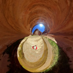
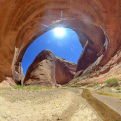
- fisheye view of alcove
-
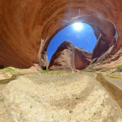
- fisheye view of alcove
-
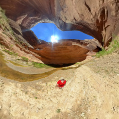
- fisheye view of Halls Creek Narrows
-
- Halls Creek Narrows
-
- south of Halls Creek Narrows
-
- following Halls Creek south
-
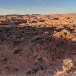
- south of Capitol Reef
-
- Halls Creek
-
- crazy-thick brush
-
- camped on slickrock east of the Fold
-
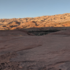
- looking toward southern end of Waterpocket Fold
-
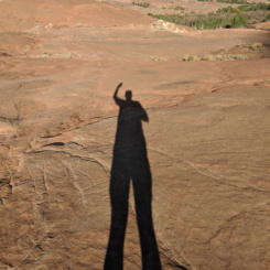
- Mr. Shadow on the slickrock
-
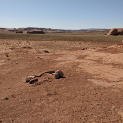
- a dry Halls Bay
-
- a dry Halls Bay
-
- headed toward Bullfrog
-
- across from Bullfrog
-
- along Lake Powell
-
- along Lake Powell
-
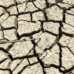
- strange cracked mud
-
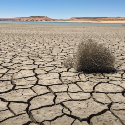
- crossing a dry Bullfrog Bay
-
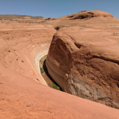
- diversion due to slot canyon inlet
-
- diversion due to slot canyon inlet
-
- diversion due to slot canyon inlet
-
- diversion due to slot canyon inlet
-
- diversion due to slot canyon inlet
-
- diversion due to slot canyon inlet
-
- finally found shade
-
- headed back down toward lake
-
- diversion due to slot canyon inlet
-
- another diversion due to inlet
-
- little more shade
-
- another diversion due to inlet
-
- difficult canyon crossing
-
- difficult canyon crossing
-
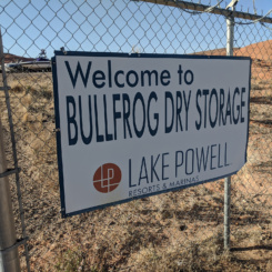
- finally in Bullfrog
-
- walking through “town”
-
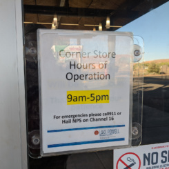
- closed!
-
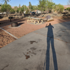
- fancy camp
-
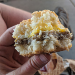
- fancy breakfast
-
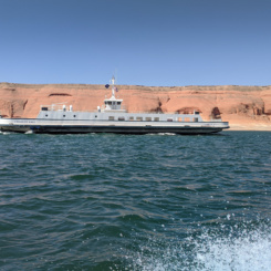
- the ferry
-
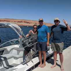
- my ride across the lake
-
- leaving the old poles behind
-
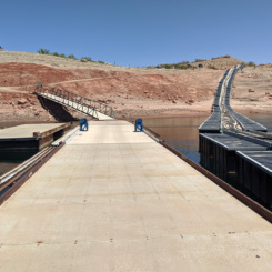
- leaving Halls Crossing
-
- Halls Crossing
-
- looking back to Halls Crossing
-
- looking back to Halls Crossing
-
- more road walking ahead
-
- escaping the heat
-
- escaping the heat
-
- still walking the road
-
- view to the Henrys
-
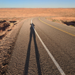
- Mr. Shadow along the road
-
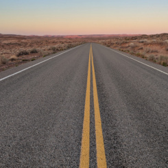
- sundown on the highway
-
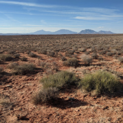
- seldom-visited landscape
-
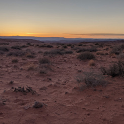
- awesome sundown
-
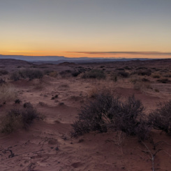
- awesome sundown
-
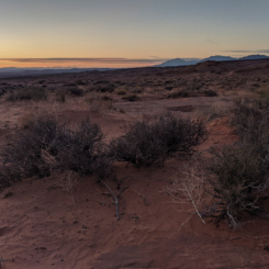
- awesome sundown