


Below is the Daily Journal for this segment of the hike. Alternatively click any thumbnail to jump to:
hike overview
segment video
interactive map
photo gallery
(previous: Under the Rim in Bryce || next: Round Valley Draw and the Kaiparowits)
Part 2: Bull Valley Gorge & The Upper Paria
April 23, 2021
Day 4
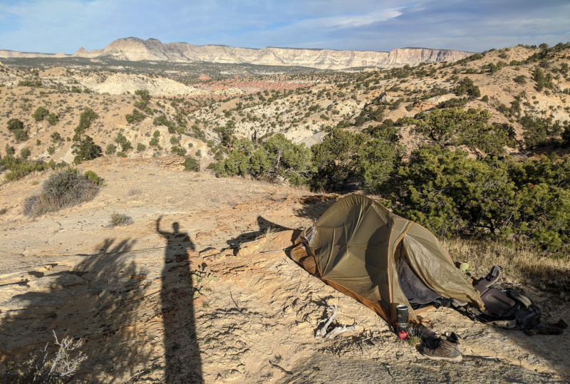
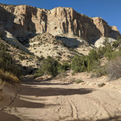
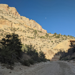
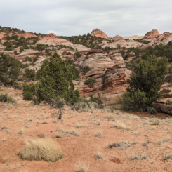
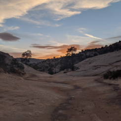
Woke up glad to see the sun was out as it was a rather chilly morning. There was actually ice on the scattered outbreaks of water in the wash. There were also more bear tracks; including some near my camp which I hadn’t noticed the night before — but that could have just been an oversight.
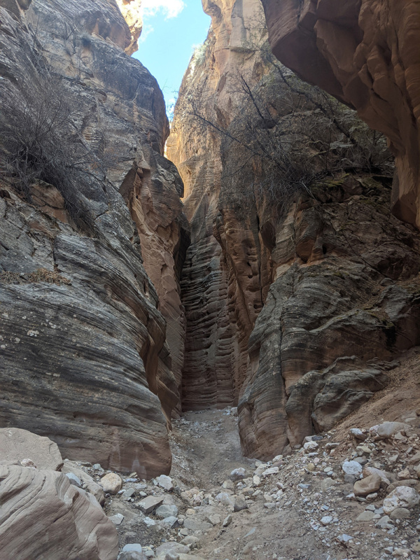
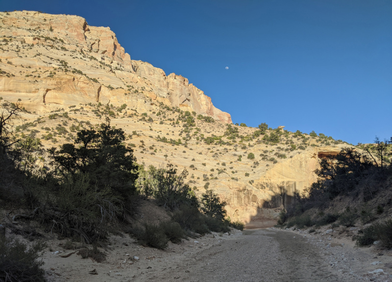
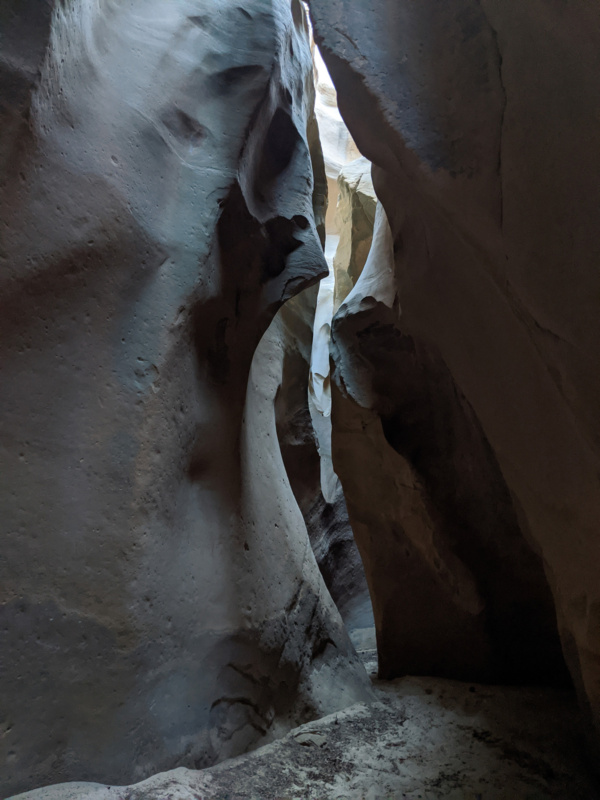
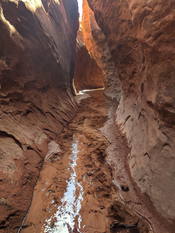
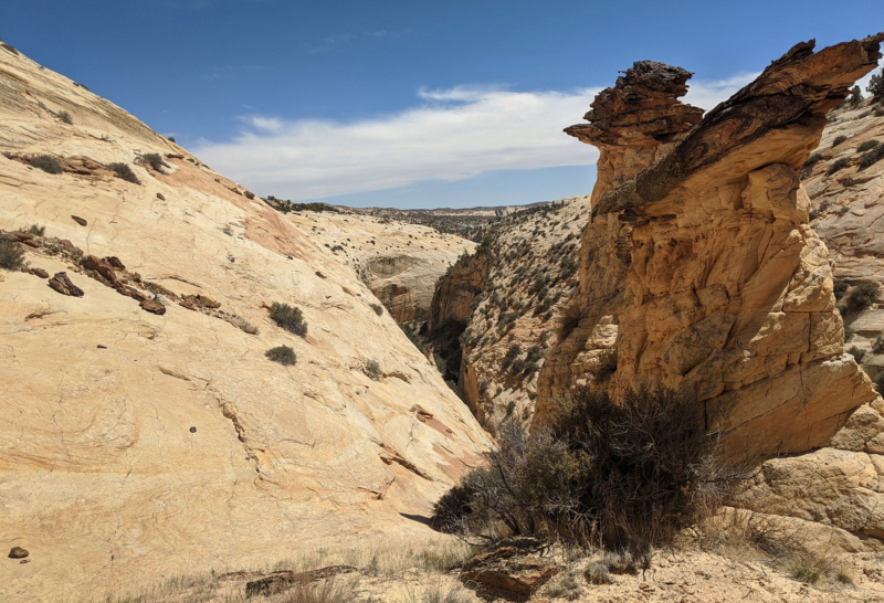
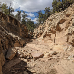
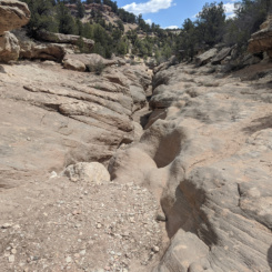
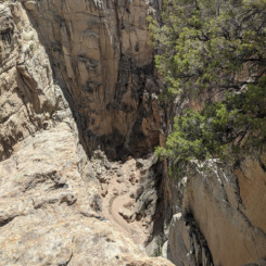
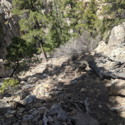
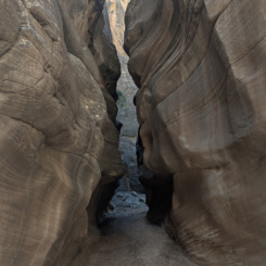
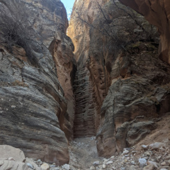
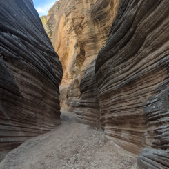
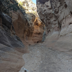
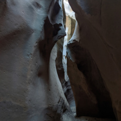
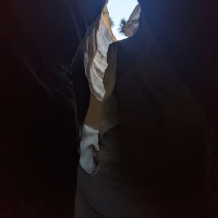
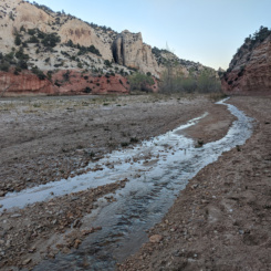
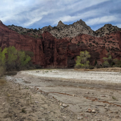
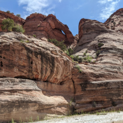
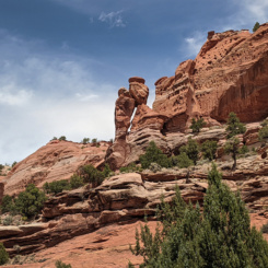
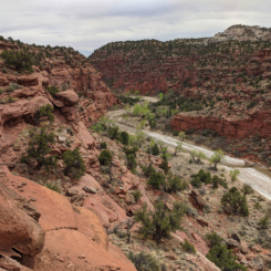
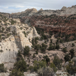
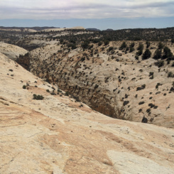
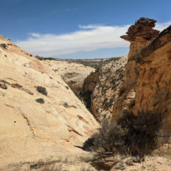
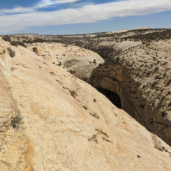
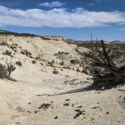
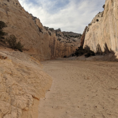
Continuing down Bull Valley the wash soon formed a shallow slot. I was slightly concerned that it might form an impassable slot, but it never got that narrow or deep.
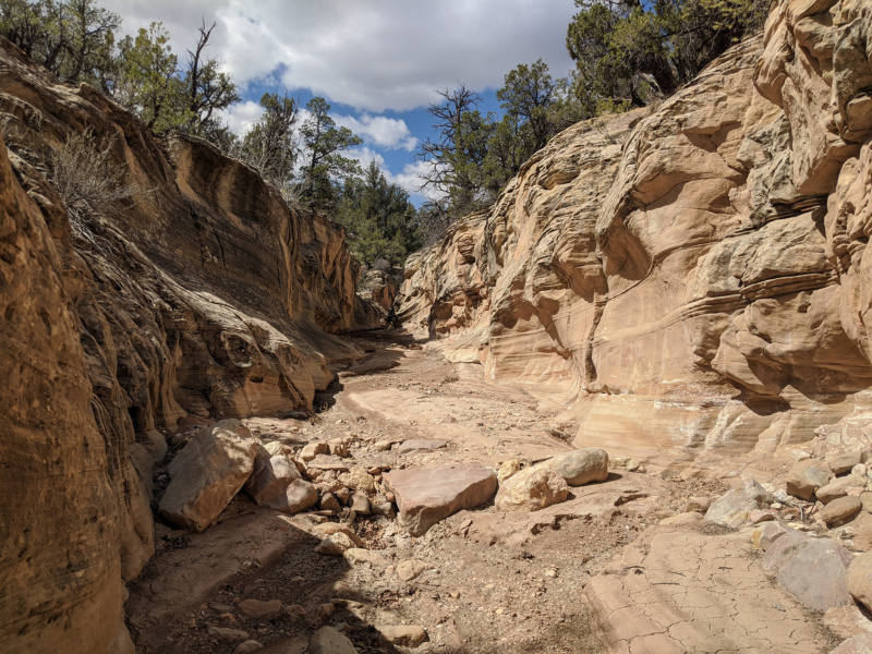
When the canyon opened up a bit there was an unexpected drop of about 10′ at a change in the rock layer — but it was easy to bypass and get back down into the wash to continue down canyons.
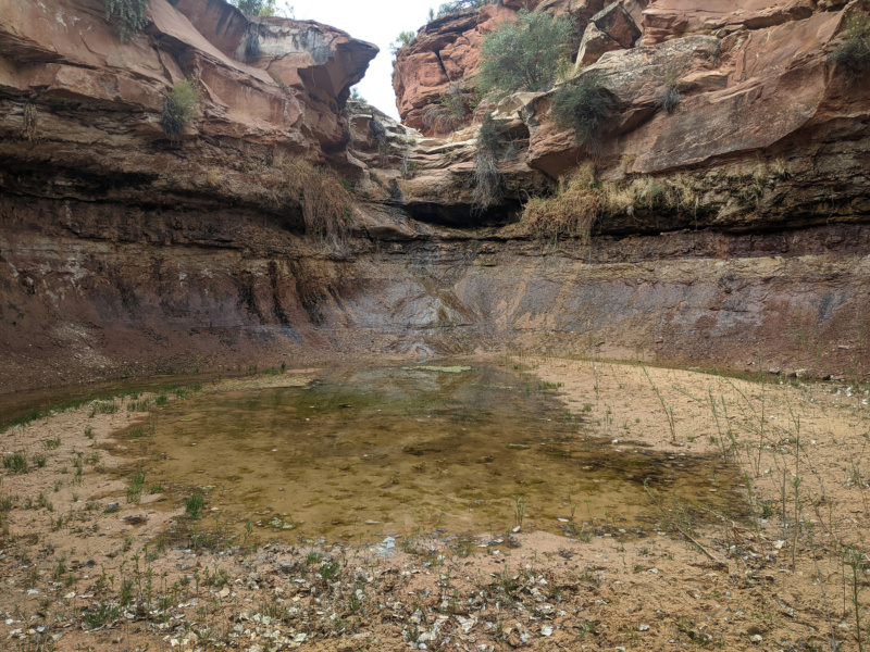
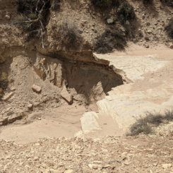
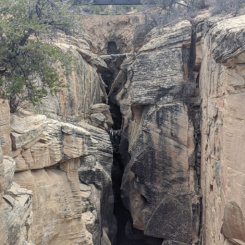
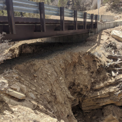
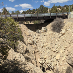
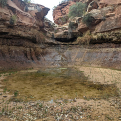
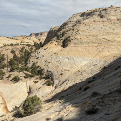
Before long I was at the beginning of the main canyon — which begins with an approximate 6′ drop down into another shallow slot. I almost didn’t recognize it as there is almost always a pool at this location, but this time it was bone dry. There’s a better place to drop into the canyon a few hundred meters farther down along the rim. However I’d already decided I wasn’t going to drop into the canyon here as I’ve done in the past, but instead follow the rim down south of the bridge to find an alternate way into the canyon below the main set of narrows. After the mud-soup mess I’d encountered in 2018 — I thought it this would be the best option. There was also a major rockfall in 2019 which took out part of the old bridge and made the canyon impassable for a while, so I wasn’t sure what to expect in the main canyon.
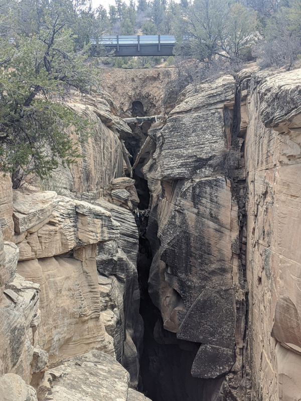
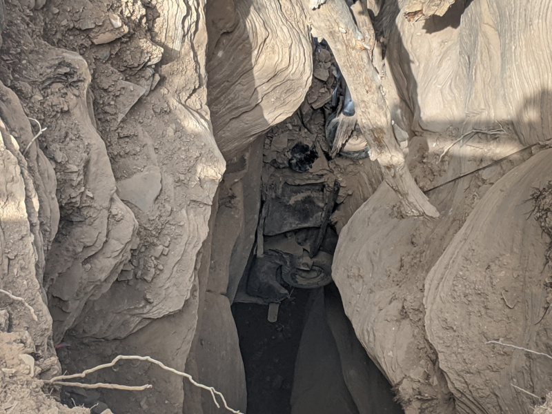
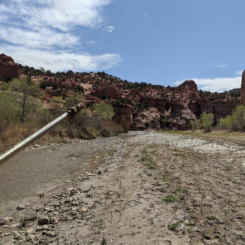
new steel bridge with old earth bridge and wrecked truck below
As I walked the rim and approached the bridge I was happy to see the old truck was still visible wedged in the canyon below. This is the site of an unfortunate accident over 50 years ago where 3 men lost there lives as the truck slipped off the road and plunged into the canyon. After the old bridge collapsed in 2019 there were false reports that the truck also fell and was buried in the mud below. I’m glad this was not the case and that it remains there as a monument to the weird history of the site.
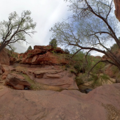
I crossed the bridge and followed a fairly well-worn path on the west side of the canyon along the rim. I’d marked a few spots where guide-book author Kelsey had indicated that it was possible to get down into the canyon. There was a cairn at the first such spot so I was optimistic, but still anxious as it was a Kelsey route after-all and I’ve experienced many of his “somewhat steep” routes that are more like climbing IMHO! But… this route wasn’t that bad. The gully down was definitely steep and there were some loose rocks along the way, but all-in-all it wasn’t that bad and within 10 minutes or so I was at the bottom of the canyon.
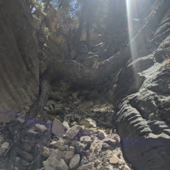
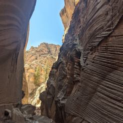
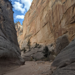
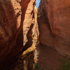
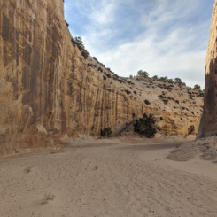
I’d considered walking back up to under the bridge — but in the end I though I’d be better served to keep moving down canyon and make up some time. This portion of the canyon still felt like it was in the heart of the narrows so it wasn’t boring by any means. I’ve hiked through the upper portion a few times, but from here down was all new to me.
Just a few minutes later I came upon a couple from Colorado also heading down the canyon. They had come all the way down through the narrows and said it was completely dry and the minor drops weren’t that bad. They were looking for the exit route to walk the rim back and asked if I knew of its location. I explained that I came down one such side gulch, but there were supposed to be a few more. We compared notes and they headed on down toward the “lower” exit as I shot some video. About 10 minutes later I saw them again headed back up canyon saying they didn’t see any way out. I gave them more detail on the route I used and they were going to try that OR possibly just walk back up the canyon. As I continued down the canyon I too did not see any other ways to (easily) exit the canyon.
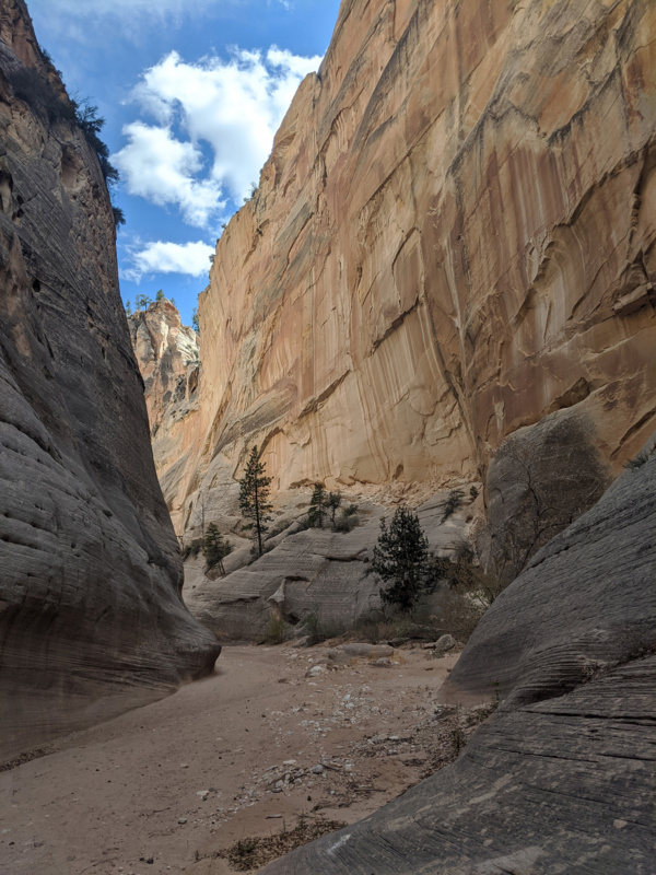
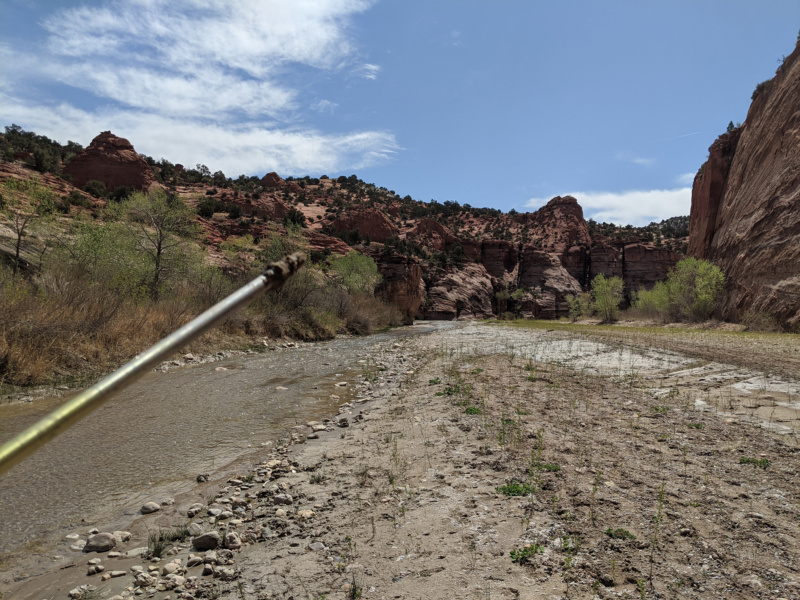
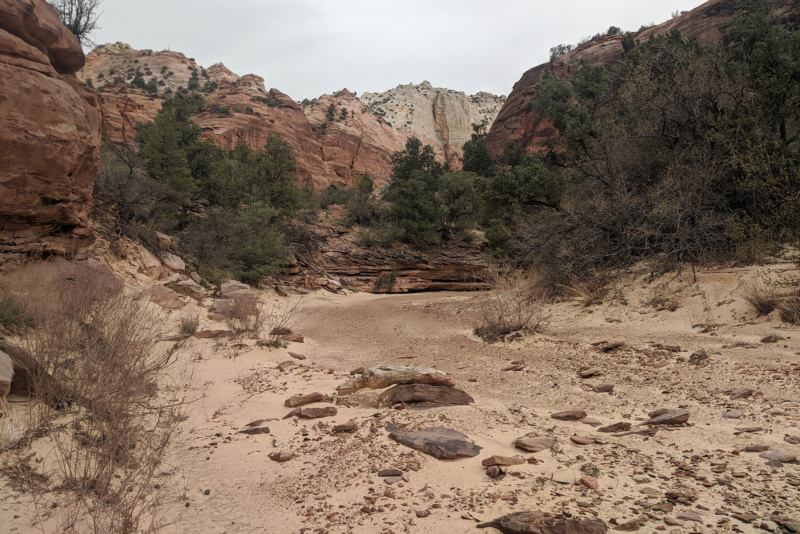
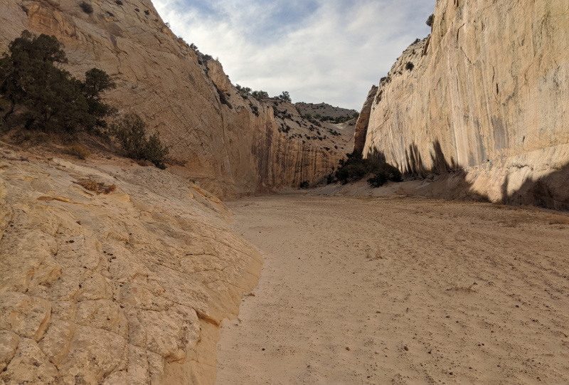
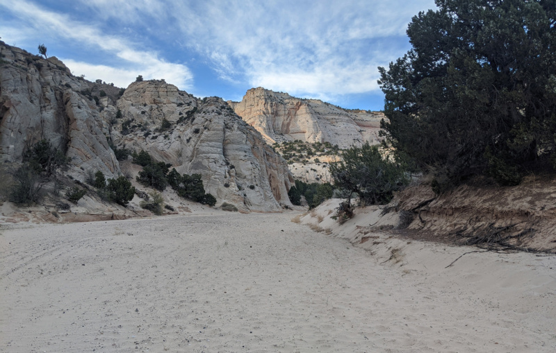
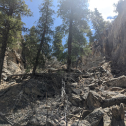
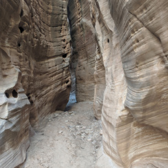
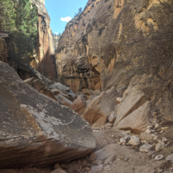
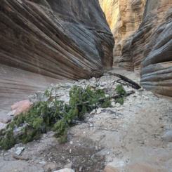
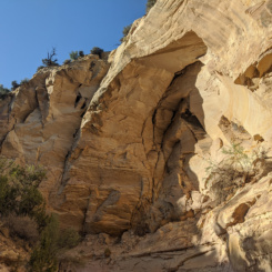
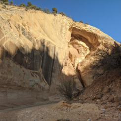
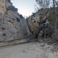
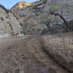
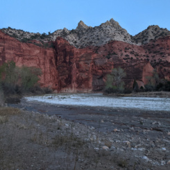
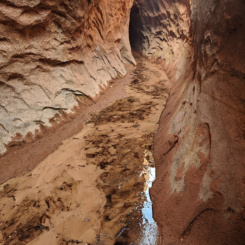
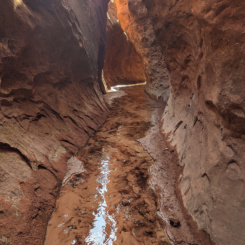
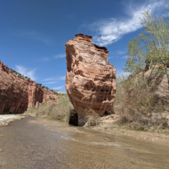
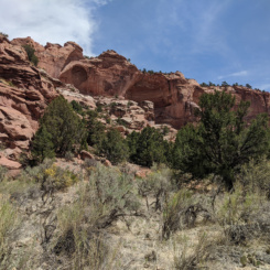
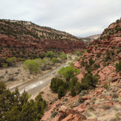
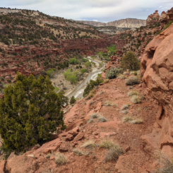
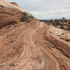
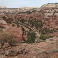
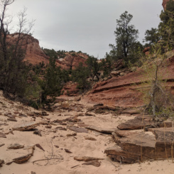
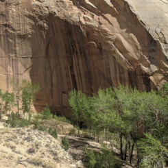
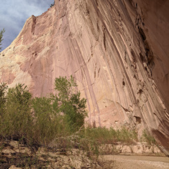
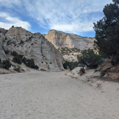
After a mile or so the canyon really opens up but is still impressive as it cuts through the White Cliffs. I was dismayed a bit farther down to see tire tracks in the sand — a dirt bike of some sort. The very lower end of Bull Valley Gorge includes one more semi-narrow section before it intersects Sheep Creek.
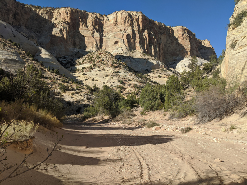
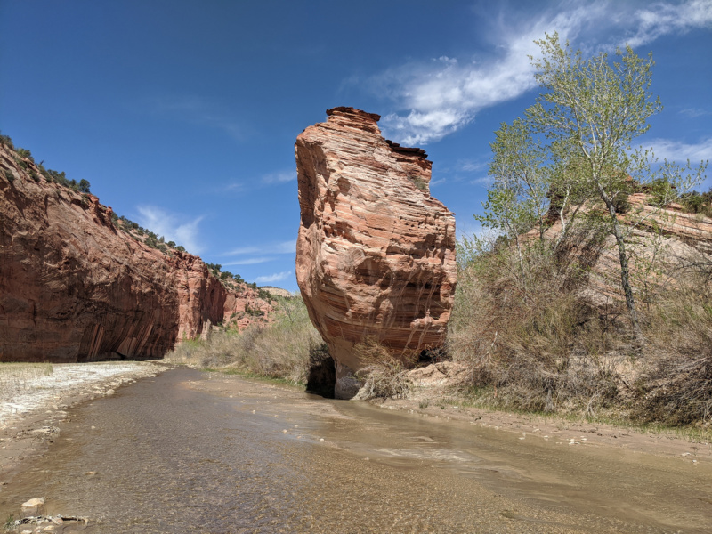
Soon I was at the bottom of the canyon and at the junction with Sheep Creek. Achievement Unlocked! As mentioned above I’d never walked down the entire length of Bull Valley Gorge — so it felt good to accomplish this goal.
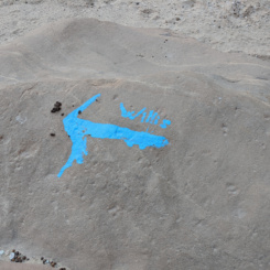
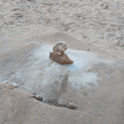
Unfortunately my happiness was short lived as at the junction I was really bummed to see that somebody had taken blue paint and haphazardly graffitied “Willis” with an arrow on a big rock in the middle of the wash. This eye-sore really infuriated me. I’m sure the person thought they were doing a good deed as many hikers do do Bull Valley as a loop with Sheep and Willis Creek to the north, but… anyone doing such a hike should be aptly prepared and NOT need an ugly painted sign to point them in the right direction! Again… Leave No Trace!
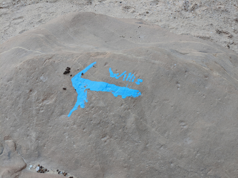
I actually spent the next 20 minutes scraping off the paint. Truth is it is best to just report incidents like this and let the BLM staff handle it with proper tools/technique, but I was so irritated by the sight I just wanted to clean it up as much as possible right then and there (and luckily the type of paint/rock allowed for that with some effort.)
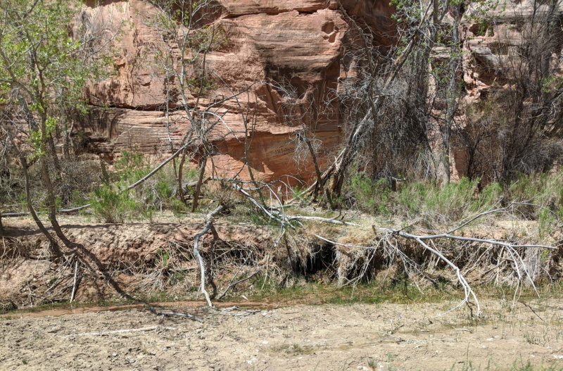
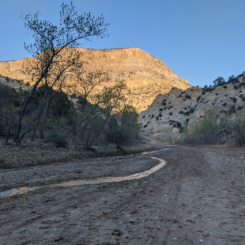
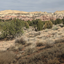
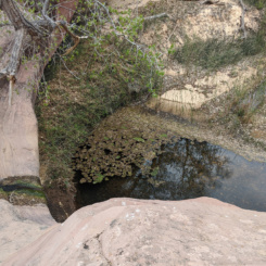
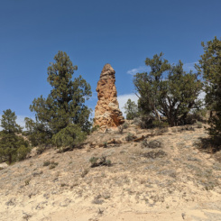
Walking down Sheep Creek is a pleasant walk. I’ve done this route many times, so I was surprised to spot a fairly large hoodoo I’d never seen before high up on the bench above the wash. It’s near a large alcove which I’m guessing has always dominated my attention on previous hikes.
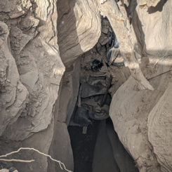
Farther down canyon I dropped my pack and went to explore a side slot canyon I’d read about. Somehow this canyon had also avoided my attention for the past decade or so, but on this trip I wanted to check it out. And… I’m glad I did as it was a cool little side canyon.
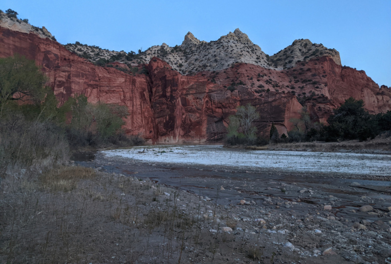
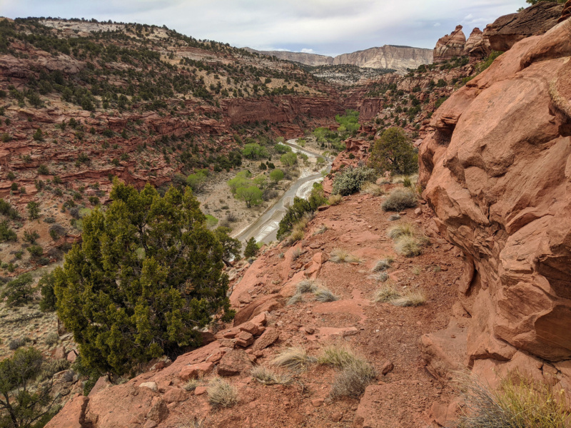
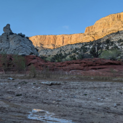
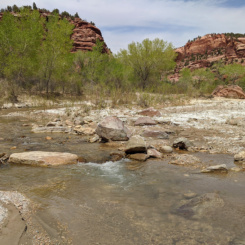
When I finally made it to The Paria the sun was nearly down. I was glad to see the river with a strong clear flow. I made my way down the river a ways along the slippery mud to one of my favorite areas — the big red/white strip. I’d hoped to be here to see the sundown on the rocks, but unfortunately the sun had set already. But.. I decided to camp nearby so that I could enjoy the site again in the morning.
Day 5
Woke up, packed up, and headed down the Paria. The wind was blowing strong starting starting in the morning. Not long after setting out I was to the brushy entrance to Asay Canyon (pronounced “Ace-ee” I’ve been told.) I dropped my bag and fought through the brush to make it to the small stream and soon to the beginning of the short slot canyon. There’s really not much to this canyon, thought its short distance to the Paria and nice sculpted walls make it worth a short visit.
Continuing down the Paria I saw a lone hiker headed my way up river. We waved and walked toward one another and while still at a distance she yelled… “I know who you are, I bought you a beer!” 😀 We met up along the bank of the river and sure enough it was “E” who I’d traded emails with earlier in the year. She was doing the Hayduke and we’d chatted about the route and in return she gave me some virtual “beer” through my donation site. 🍻 I chat with a bunch of people via my website/channel, but it’s always so cool to run into them out in the wild. We chatted some more and then headed off in our opposite directions.
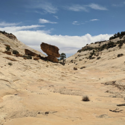
Soon I was approaching Lone Rock and for the first time ever I realized it was possible to see the amazing balanced rock up on the bench above. It’s really hard to see, but it is visible if one knows exactly where to look. I visited this in 2018 and it’s definitely worth the short hike up to the bench to check it out along with Red Slot.
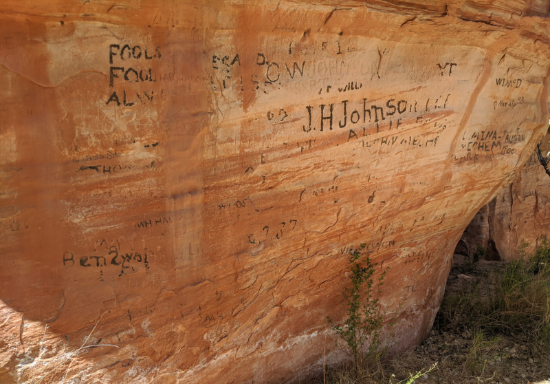
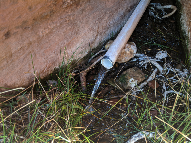
After passing Lone Rock and nearby Paria Arch I continued down to the next milestone Crack/Pipe Spring. This was easier to spot than usual as this time there seemed to be less brush along this part of the river. I filled up my jugs at this great water source and checked out the many historical inscriptions at the site while I enjoyed a quick snack break and charged the batteries via my solar panel.
As I was getting ready to head out two other hikers joined me — a guy and a girl. “Are you the Across Utah guy?” one asked! Crazy… two in one day! Turns out they had just crossed paths with “E” upstream so they knew I was nearby. They probably would not have recognized me if not for her tip, but they guys said he was familiar with my website. They were out doing a 4-day loop around the Upper Paria area.
Continuing down canyon I soon passed the scenic “Alcove Bend” area where eagle-eyed hikers will spot multiple arches.
A little farther down canyon I was at the mouth of Deer Creek. I skipped the side trip to see the various rock art sites nearby (I’d visited a few times before) and instead continued down canyon to find my intended exit from the Paria — an old Public Works route that climbs the eastern side of the canyon. Before living the river though — I decided to jump in and rinse off 5 days of hiking!
I found the bottom of the route out of the canyon. This is an unmarked and unmaintained route, but it was still quite evident to see how/where it was constructed nearly 100 years ago! I’d descended the route on the opposite side of the canyon on my 2009 Nevada to Colorado Hike.
As I zig-zagged my way up and above the Paria, I noticed the two hikes from before making their way down the canyon. The wind was still blowing really hard and clouds now covered most of the sky — somewhat muting the colors of this great landscape.
Soon I was above the rim of the canyon and contouring around a side canyon. I lost the trail near the top of the bench as the route made its way through deep sand and around large patches of cryptobiotic soil. This wasn’t a big problem though as I knew the general direction I needed to go over towards Snake Creek. As I wound my way through some sandstone domes I ran into a Great Basin Gopher Snake. These guys always scare the bejesus out of me as they look so much like rattle snakes and usually don’t move until one is nearly upon them — providing a good fright when they do finally react. They aren’t venomous however and are quite docile.
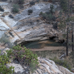
Eventually I was out making my way down into Snake Creek canyon. As I descended the ridge into the canyon there was a well-defined route once again. There was a lot of evidence of cow and horse use on the route — probably looking for the same thing I was… water in Snake Creek is a known source for the area. When I got to the bottom of the canyon is was nothing but deep sand — but this wasn’t really unexpected as per Kelsey the water begins below the first drop just down canyon. I dropped my bag and went to investigate. Sure enough… dripping wall and nice big pool of water below the first drop (which could be easily bypassed.)
Immediately down canyon is the Second Drop. It’s a bit more intimidating and stops all horses/cows, but a humans could fairly easily make it down a somewhat-muddy-with-exposure bypass. I opted to not do this as instead I needed to head up canyon.
Filled up on water I returned to my pack and headed up canyon. It was a good looking canyon, but it was a bit of a slog in the deep sand. There are several caves in the canyon which evidently provided shelter for pre-historic inhabitants, but I didn’t explore them as I wanted to keep moving.
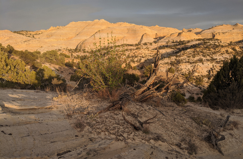
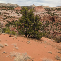
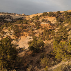
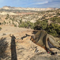
It was late afternoon when I decided to leave the wash and climb out the northern side of the canyon and onto the bench above. Snake Creek is frequently walled in and I wasn’t sure I’d be able to find an exit farther up canyon, so I thought I’d better exit when I saw an opportunity to do so. Making my way up the steep, sandy, crypto-covered slopes was a bit of a chore. About half-way up the Sun popped out illuminating all the great sandstone in the area — it was quite awesome.
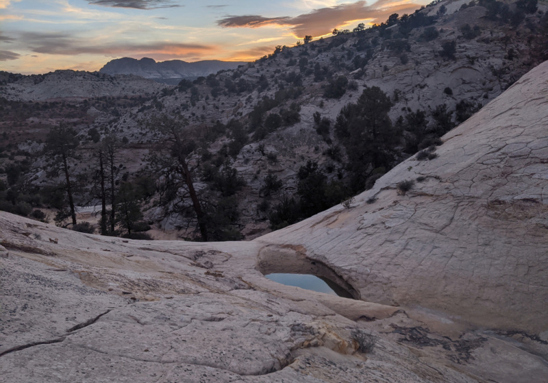
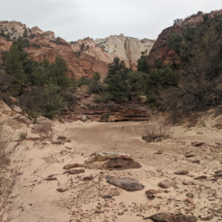
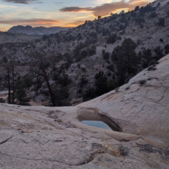
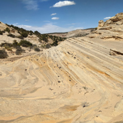
When I finally got to the top of the ridge I headed east finding a well-worn trail once again and my pace picked up substantially. I was headed up and over what I refer to as “Yellow Mountain” — a huge outcrop of sandstone that dominates the landscape (which I explored on my 2019 hike.) Before heading up toward the saddle, the route dropped back down into a wash and I was excited to see several potholes of water. I filled up once again. Then I crossed the wash and passed a really cool area with a trees and a large pool — I dubbed it “The Oasis” in my mind.
I continued up above on the slickrock. The route up was steeper than anticipated and I wasn’t sure which was the best route up. As the sun was nearly down and the wind continued to blow I decided to call it a day and figure it out in the morning.
Day 6
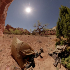
Woke up to a sunny day, though the wind was still blowing off and on. I saw a coyote near camp. I hear coyotes frequently while out on the trail, but this is only the second time that I’ve actually seen one. He spotted me and must have thought I was a crazy demon as he took off crazy-fast on a sprint across the landscape and away from me!
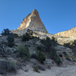
Once camp was packed up I set out. The route up was indeed steep, but not really that bad. Instead of going over the highest point I made my way up and over the saddle and before too long I had good views to the east and toward Stone Donkey Canyon — my next milestone.
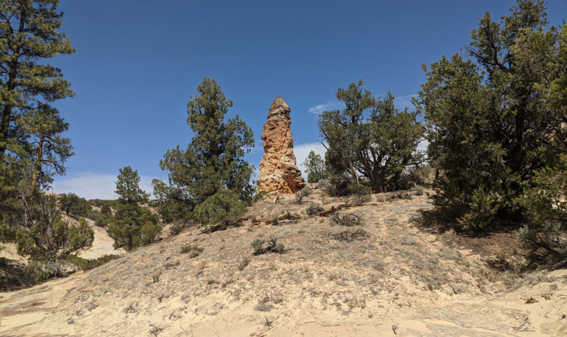
The next mile or soon was pretty tedious as it was all cross-country through even more crypto fields and crossing a series of drainages. Before long though I was back connected with my route from 2019 and back at the unique rock formation I dubbed “Phallic Gnome”.
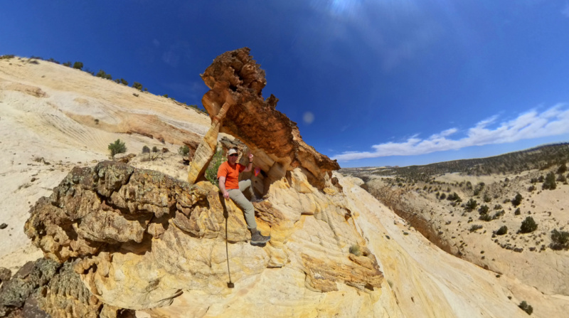
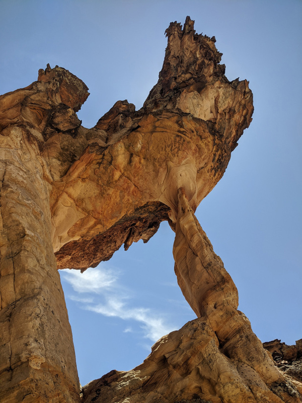
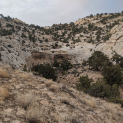
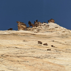
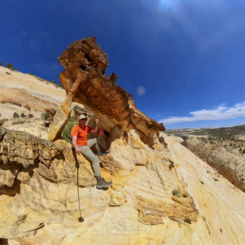
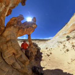
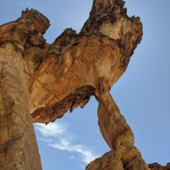
From here it was a much easier walk down the wash and before long I was to the big drop in Stone Donkey Canyon and looking up to the arch which provides the name for the canyon (which I have referred to a “Howling Wolf Arch” in the past.) My plan was to go up to the arch again, but first I wanted to check out what I’d referred to as the “sketchy traverse” in the past — a route along angled slickrock. I was curious if it was as bad as I remembered or if I was just inexperienced at the time. And… yeah, it was still pretty sketchy! It’s a strange spot as the footing is good and the slickrock isn’t THAT slanted, but the pull of the exposure plunging into the canyon below is strong and I’ll stick with my assessment that this is not a route for anyone inexperienced with walking on slickrock OR with a fear of heights.
I turned around halfway through (a terrible idea as that was scarier than walking straight!) and headed back to a place to climb up to the arch. AND… I found this route to be semi-sketchy as well. I’d done this before as and though it’s a bit daunting, there’s not a chasm below if you should fall so the climb is tolerable (and the recommended route.)
Once up to the arch I enjoyed the view and tried to hide a bit from the wind which was still really gusting. With so much sand in the area I really was getting sandblasted.
From the arch it’s just a bit more of a climb up to a nice flat area which from there makes for easy walking to the east. At the eastern edge of this slickrock area I dropped down into sagebrush/junipers and headed cross-country still battling the wind. I was headed over to the lower end of the Upper Death Valley stock trail and where it enters Hackberry Canyon.
As I dropped down into the canyon I could smell a stench of something bad down below. When down to the bottom I dropped my bag to find the best source of water in the barely running stream and soon came across the source of the smell — a large longhorn dead on the bank all twisted up in barbed wire. I continued down stream a bit farther to get the best water I could find — but it still wasn’t an ideal source. Better water is found downstream in Hackberry — but I was about to head up canyon so I had to settle for what I could find.
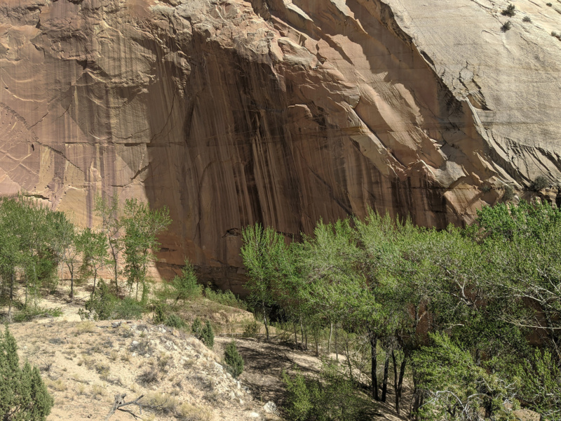
Before heading out I checked out the cowboyglyphs a the location and the impressive stone wall of what I believe to be the largest alcove in Hackberry.
Headed up canyon the water dried up quickly and I was slogging my way through sand. It’s not fun to walk, but it’s an interesting section of canyon where one is walled in on both sides and traveling up/down a “river” of sand. In 2009 I said I’d never do this stretch again… but here I am doing it again (and hating it!)
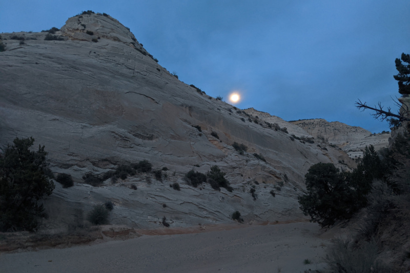
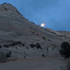
After a hour or two of fighting the sand I decided to call it a night as the sun was already down. I camped up on a sandy bank and watched the full moon rise over the canyon’s eastern wall.
Check out the full photo gallery below or continue reading the next section… Round Valley Draw and the Kaiparowits Plateau.
Photo Gallery:
-

- Upper Bull Valley
-
- Upper Bull Valley
-
- shallow slot
-
- dryfall
-
- upper end of main gorge
-
- Bull Valley Gorge
-
- new bridge above the old bridge
-
- the old accident
-
- new steel bridge
-
- walking the rim
-
- route down into canyon
-
- route down into canyon
-
- route down into canyon
-
- Bull Valley Gorge
-
- Bull Valley Gorge
-
- Bull Valley Gorge
-
- Bull Valley Gorge
-
- Bull Valley Gorge
-
- Bull Valley Gorge
-
- Bull Valley Gorge
-
- mid Bull Valley Gorge
-
- lower Bull Valley Gorge
-
- lower Bull Valley Gorge
-
- lower Bull Valley Gorge
-
- very bottom of Bull Valley Gorge
-
- illegal graffiti
-
- Sheep Creek
-
- Sheep Creek undercut
-
- side slot in lower Sheep Creek
-
- side slot in lower Sheep Creek
-
- side slot in lower Sheep Creek
-
- lower Sheep Creek
-
- nearing the Paria
-
- The Upper Paria
-
- The Upper Paria
-
- The Upper Paria
-
- moonlight
-
- The Upper Paria
-
- Asay Slot
-
- Asay Slot
-
- Asay Slot
-

- The Upper Paria
-
- spotting the balanced rock
-
- Lone Rock
-
- Paria Arch
-
- Crack/Pipe Spring location
-
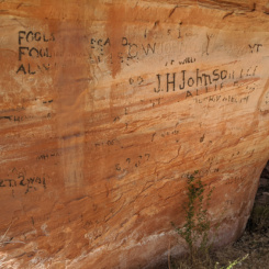
- historical etchings
-
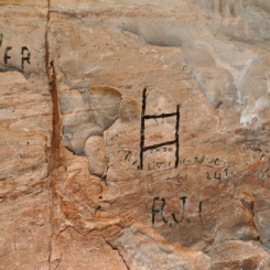
- historical etchings
-
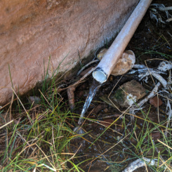
- Crack/Pipe Spring
-
- “Alcoves Bend”
-
- Backpacker Arch
-
- The Paria
-
- leaving the Paria
-
- two other hikers below
-
- looking south down the Paria
-
- near the top
-
- crossing the dunes
-
- cryptobiotic soil
-
- navigating around side canyon
-
- nice slickrock
-
- headed toward Snake Creek
-
- looking down to Snake Creek Canyon
-
- First Drop/Pool in Snake Creek
-
- The Second Drop
-
- headed up Snake Creek
-
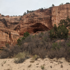
- interesting-looking caves
-
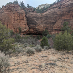
- another cave
-
- headed up sandy Snake Creek
-
- climbing out of Snake Creek drainage
-
- climbing out of Snake Creek drainage
-
- sun going down
-
- looking toward “Yellow Mountain”
-
- great slickrock
-
- sunset
-
- sunset
-
- “the Oasis”
-
- Mr. Shadow at camp in the morning
-
- climbing over the slickrock domes
-
- “Phallic Gnome”
-
- upper Stone Donkey wash
-
- upper Stone Donkey wash
-
- nearing the big drop
-
- Stone Donkey (aka “Howling Wolf Arch”)
-
- the big drop in Stone Donkey Canyon
-
- the sketchy travers (I just high route instead)
-
- sitting in the Stone Donkey
-
- sitting in the Stone Donkey
-
- backside of the Stone Donkey
-
- more good slickrock
-
- above Stone Donkey
-
- entering Hackberry Canyon
-
- dead Longhorn
-
- large alcove in Hackberry
-
- sandy upper Hackberry
-
- sandy upper Hackberry
-
- sandy upper Hackberry
-
- sandy upper Hackberry
-
- yep!